Signs From Virginia
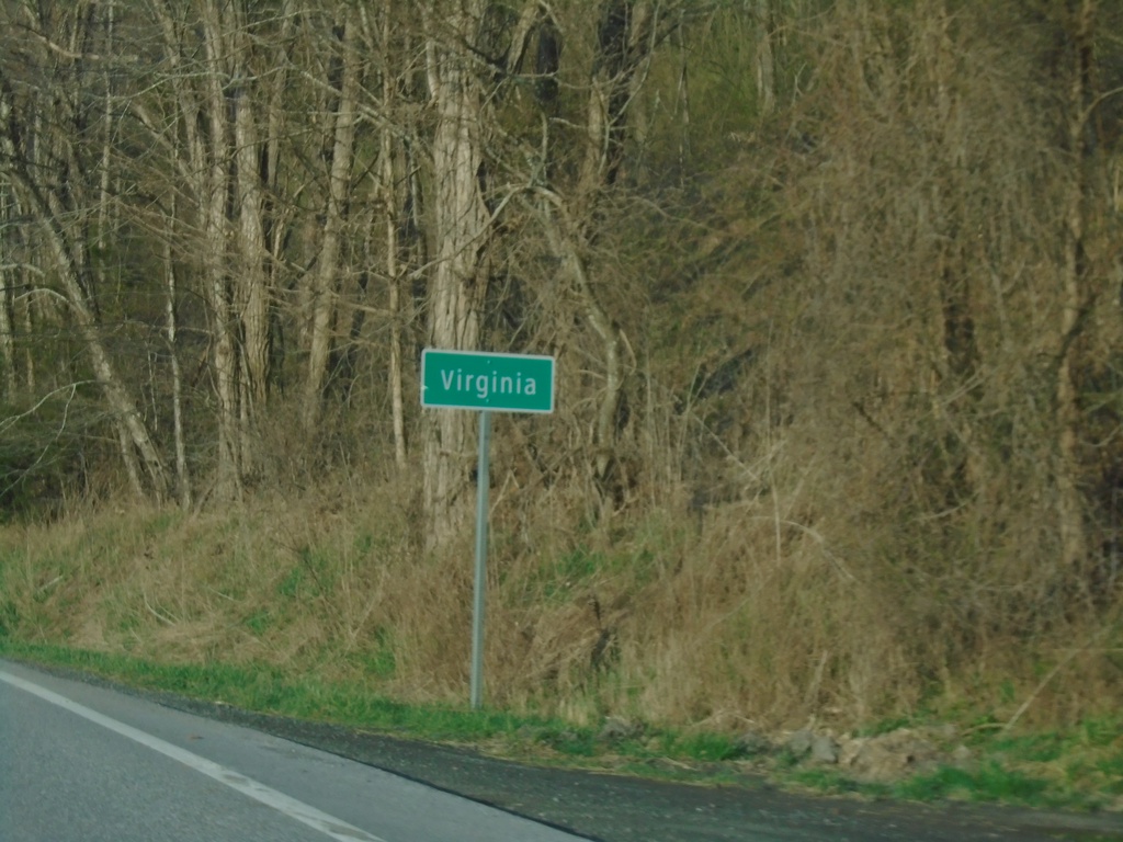
US-220 South - Virginia
Entering Virginia on US-220 South. Taken at the Virginia/West Virginia State Line.
Taken 03-30-2024
 Monterey
Highland County
Virginia
United States
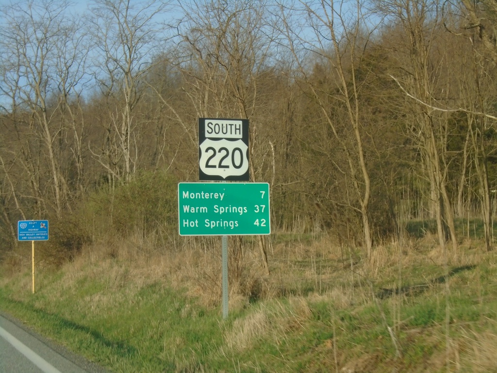
US-220 South - Distance Marker
Distance marker on US-220 south. Distance to Monterey, Warm Springs, and Hot Springs. This is the first distance marker southbound in Virginia. Most of the highway shields in Highland County seem to have a combined shield and banner into one assembly.
Taken 03-30-2024
 Monterey
Highland County
Virginia
United States
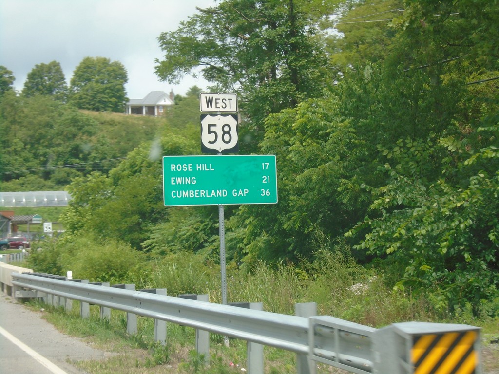
US-58 West - Distance Marker
Distance marker on US-58 west. Distance to Rose Hill, Ewing, and Cumberland Gap (TN).
Taken 06-24-2019
 Jonesville
Lee County
Virginia
United States
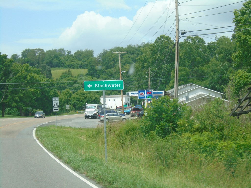
US-58 West at VA-70 South
US-58 West at VA-70 South to Blackwater.
Taken 06-24-2019

 Jonesville
Lee County
Virginia
United States
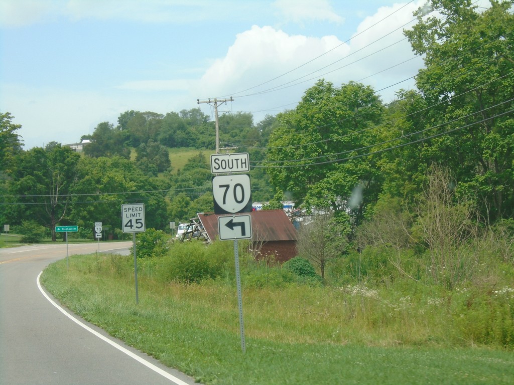
US-58 West Approaching VA-70 South
US-58 West approaching VA-70 South in Jonesville.
Taken 06-24-2019

 Jonesville
Lee County
Virginia
United States
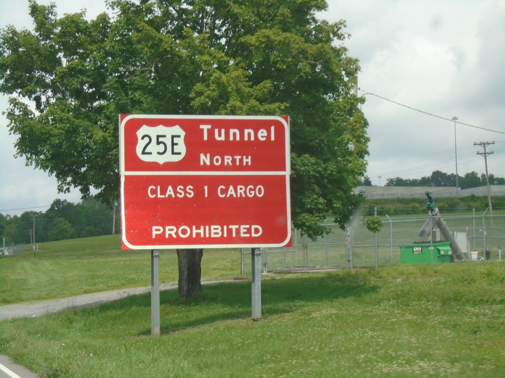
US-58 West/US-421 North - Cumberland Gap Tunnel Information
US-58 West/US-421 North - Cumberland Gap Tunnel Information. Class 1 cargo through the Cumberland Gap Tunnel on US-25E North is prohibited.
Taken 06-24-2019


 Duffield
Scott County
Virginia
United States
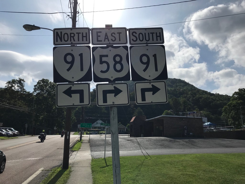
US-58 East at VA-91 - Damascus
US-58 East at VA-91 in Damascus. VA-91 south joins US-58 east through Damascus.
Taken 06-24-2019

 Damascus
Washington County
Virginia
United States
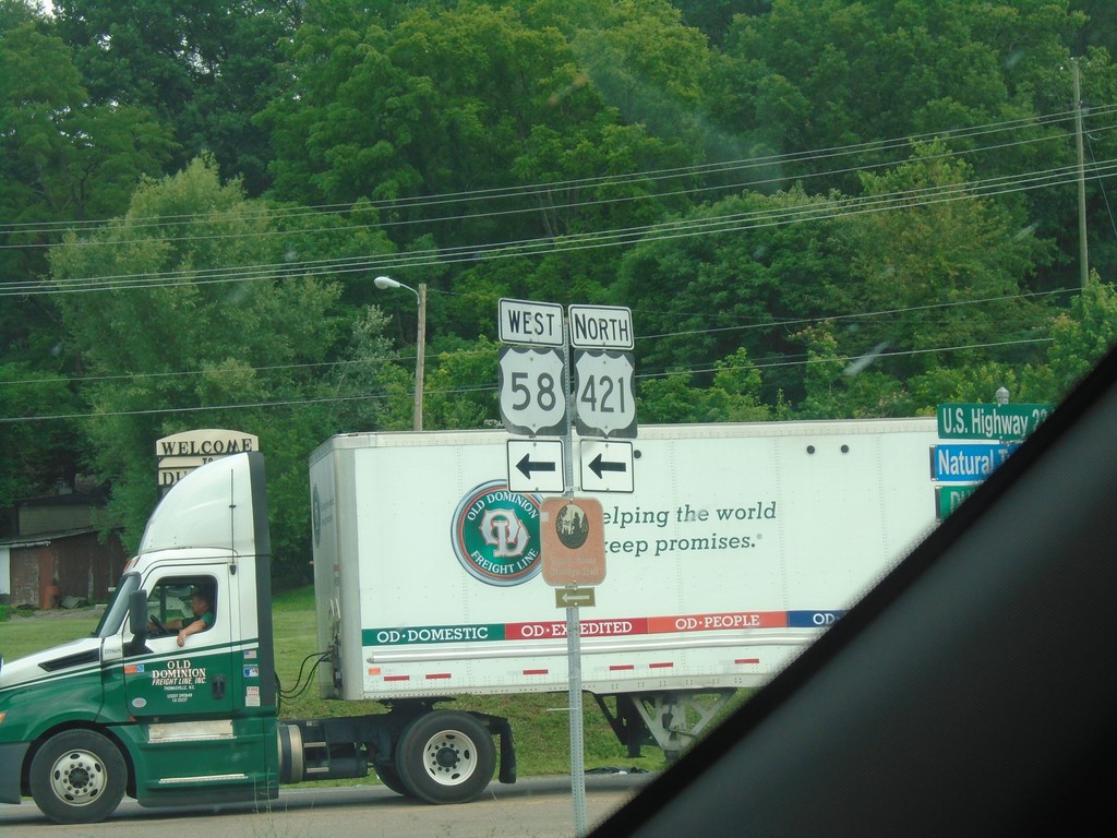
US-23 North/US-58 West/US-421 North at US-23 Split
US-23 North/US-58 West/US-421 North at US-23 split. Turn left to continue on US-58 West/US-421 North.
Taken 06-24-2019


 Duffield
Scott County
Virginia
United States
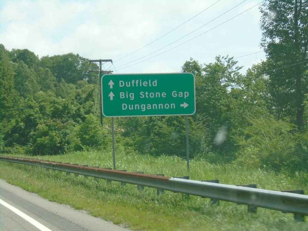
US-23/US-421 North/US-58 West Approaching VA-65
US-23/US-421 North/US-58 West Approaching VA-65 to Dungannon. Continue on US-23/US-421 North/US-58 West for Duffield and Big Stone Gap.
Taken 06-24-2019


 Clinchport
Scott County
Virginia
United States
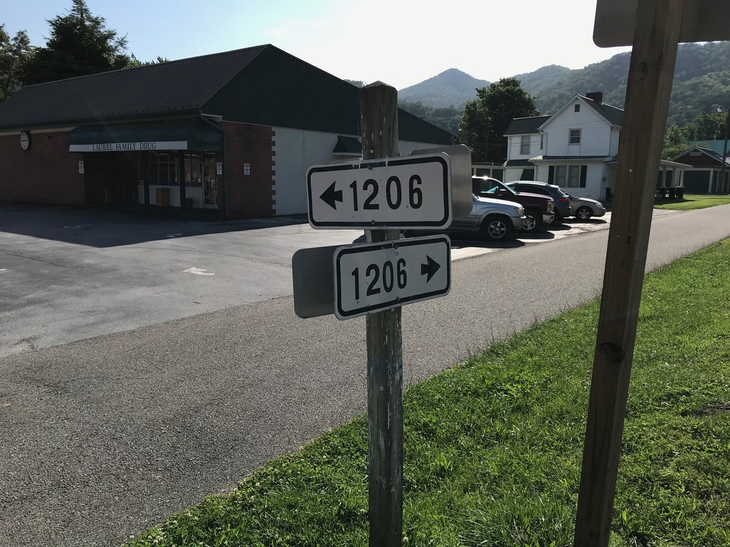
VAS-1206 at VAS-716 - Damascus
VAS-1206 (Creepers Way) at VAS-716 (Shady Ave.) in Damascus
Taken 06-24-2019

 Damascus
Washington County
Virginia
United States