Signs From Wyoming
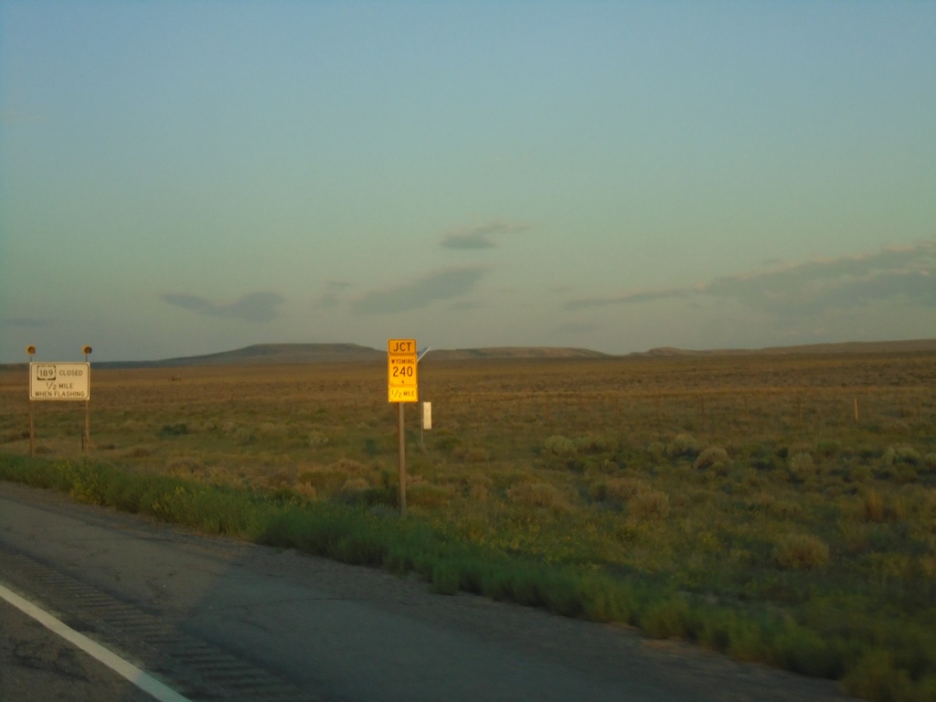
US-189 South Approaching WY-240
US-189 South approaching WY-240 in Lincoln County.
Taken 07-18-2020

 Kemmerer
Lincoln County
Wyoming
United States
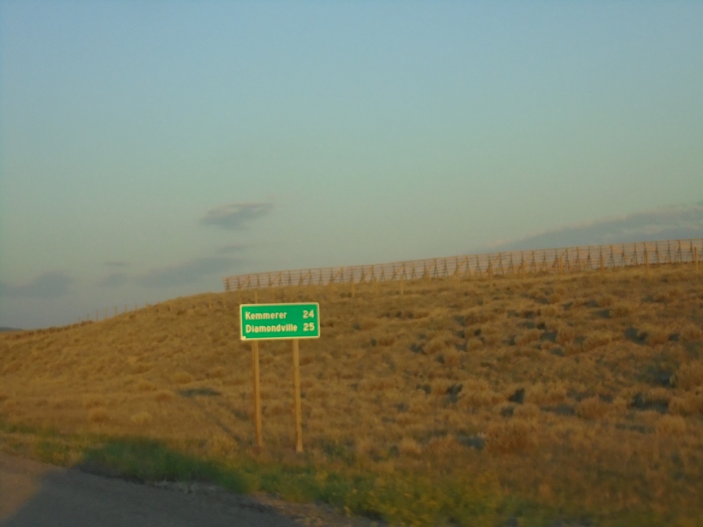
US-189 South - Distance Marker
Distance marker on US-189 south. Distance to Kemmerer and Diamondville.
Taken 07-18-2020
 Kemmerer
Lincoln County
Wyoming
United States
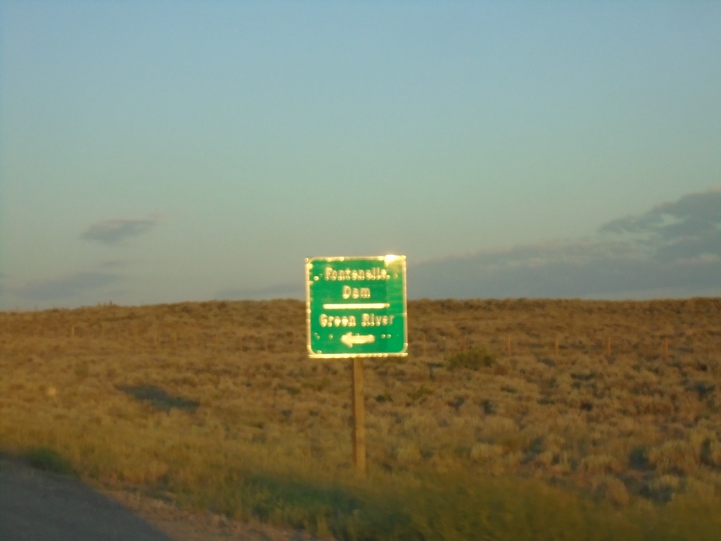
US-189 South at WY-372
US-189 South at WY-372 east to Green River and Fontenelle Dam.
Taken 07-18-2020

 Kemmerer
Lincoln County
Wyoming
United States
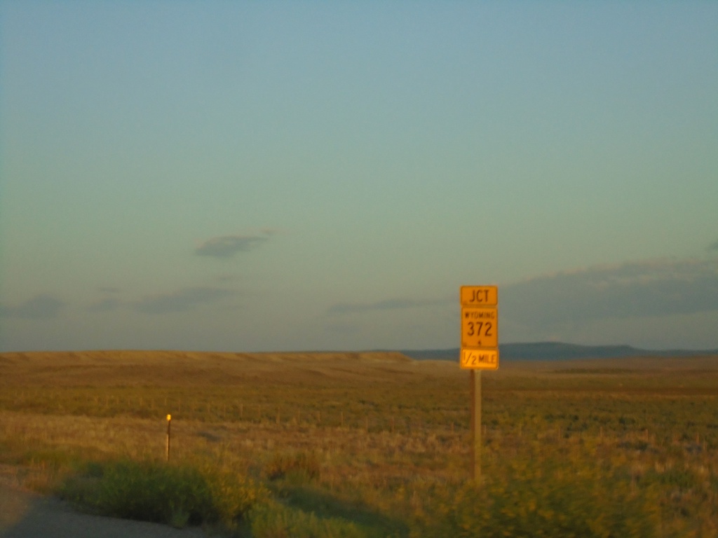
US-189 South Approaching WY-372
US-189 south approaching WY-372 in Lincoln County.
Taken 07-18-2020

 Kemmerer
Lincoln County
Wyoming
United States
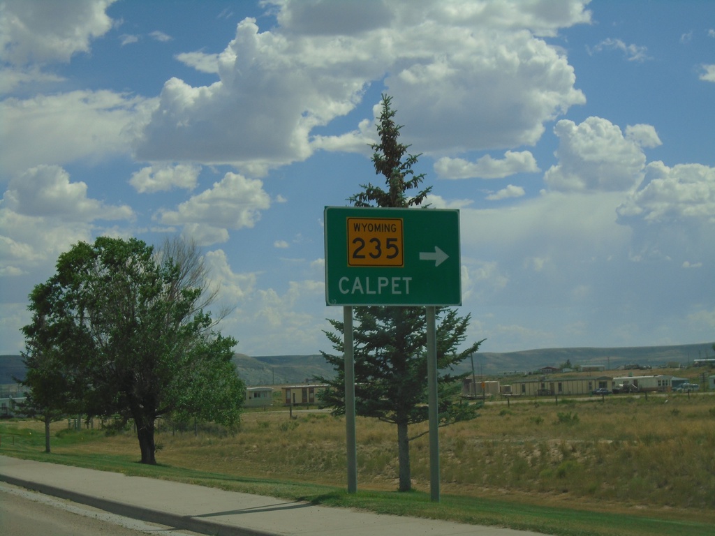
US-189 South at WY-235
US-189 south at WY-235 to Calpet.
Taken 07-17-2020

 La Barge
Lincoln County
Wyoming
United States
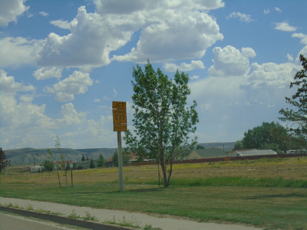
US-189 South approaching WY-235
US-189 south approaching WY-235 in La Barge.
Taken 07-17-2020

 La Barge
Lincoln County
Wyoming
United States
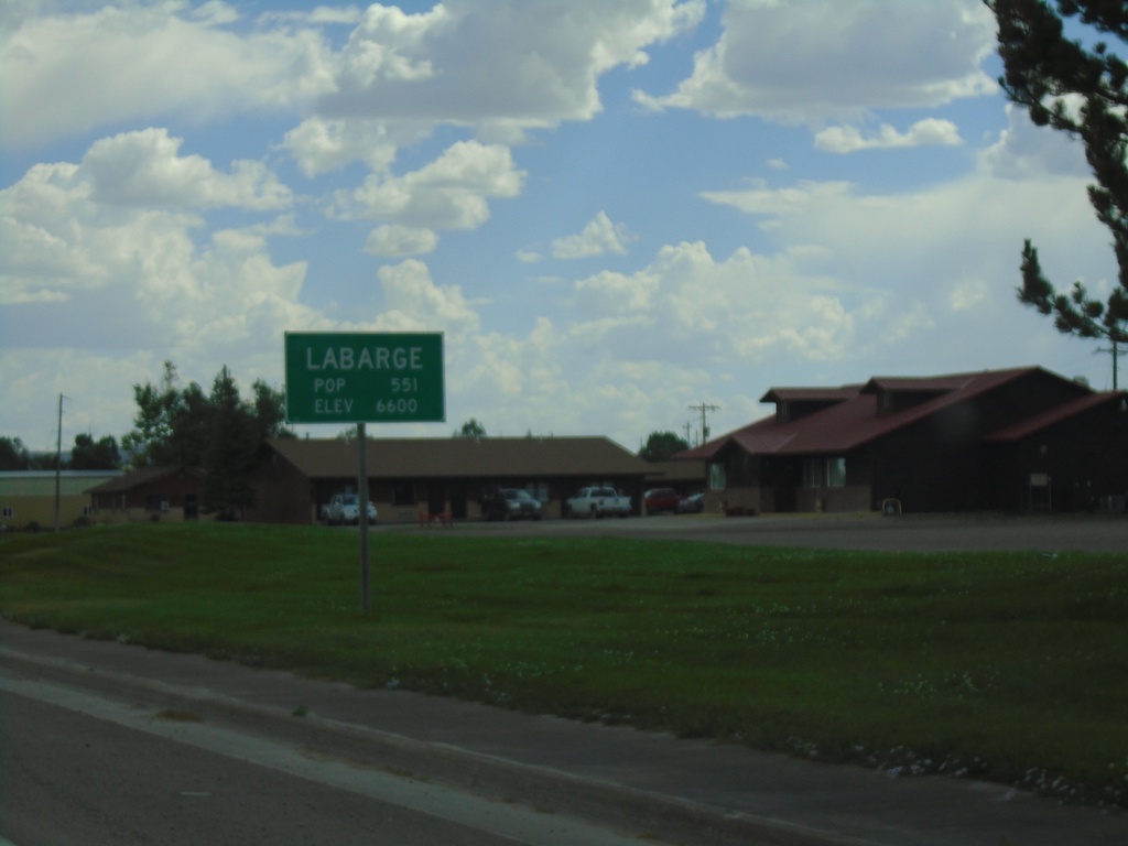
US-189 South - LaBarge
Entering LaBarge on US-189 south.
Taken 07-17-2020
 La Barge
Lincoln County
Wyoming
United States
US-189 South - Lincoln County
Entering Lincoln County on US-189 south.
Taken 07-17-2020
 La Barge
Lincoln County
Wyoming
United States
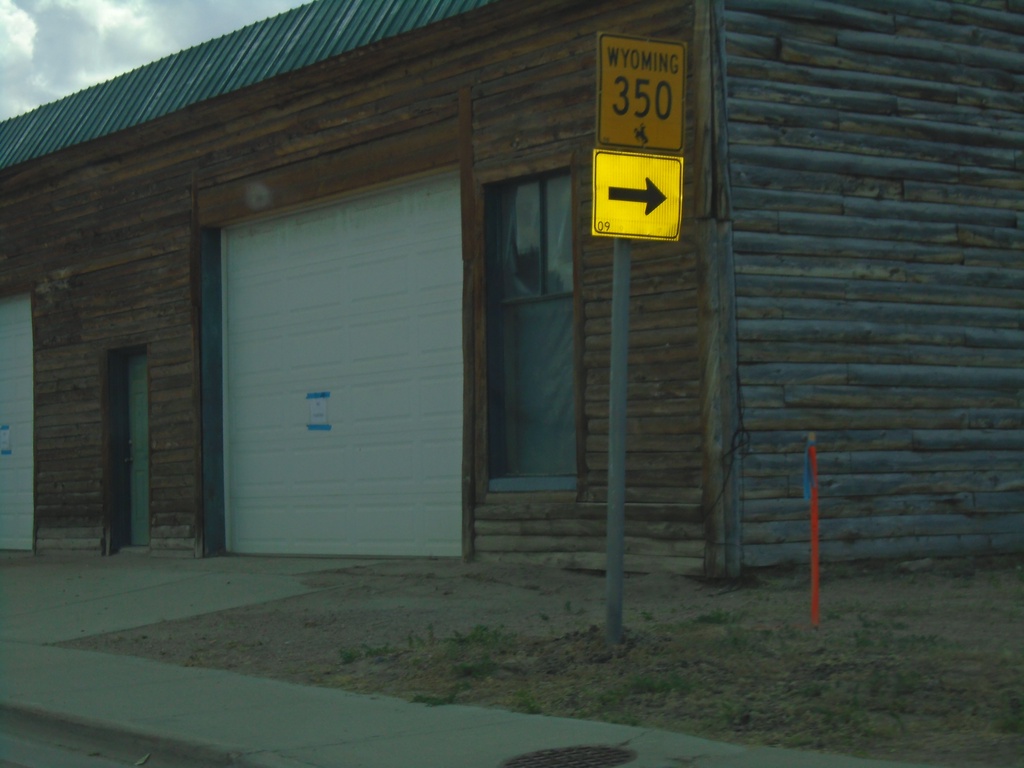
US-189 South at WY-350
US-189 South at WY-350 in Big Piney.
Taken 07-17-2020

 Big Piney
Sublette County
Wyoming
United States
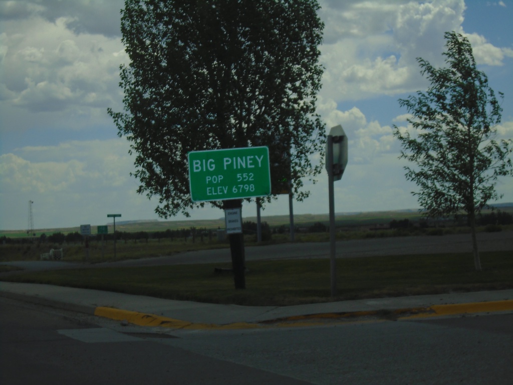
US-189 South - Big Piney
Entering Big Piney on US-189 south.
Taken 07-17-2020
 Big Piney
Sublette County
Wyoming
United States