Signs From Wyoming
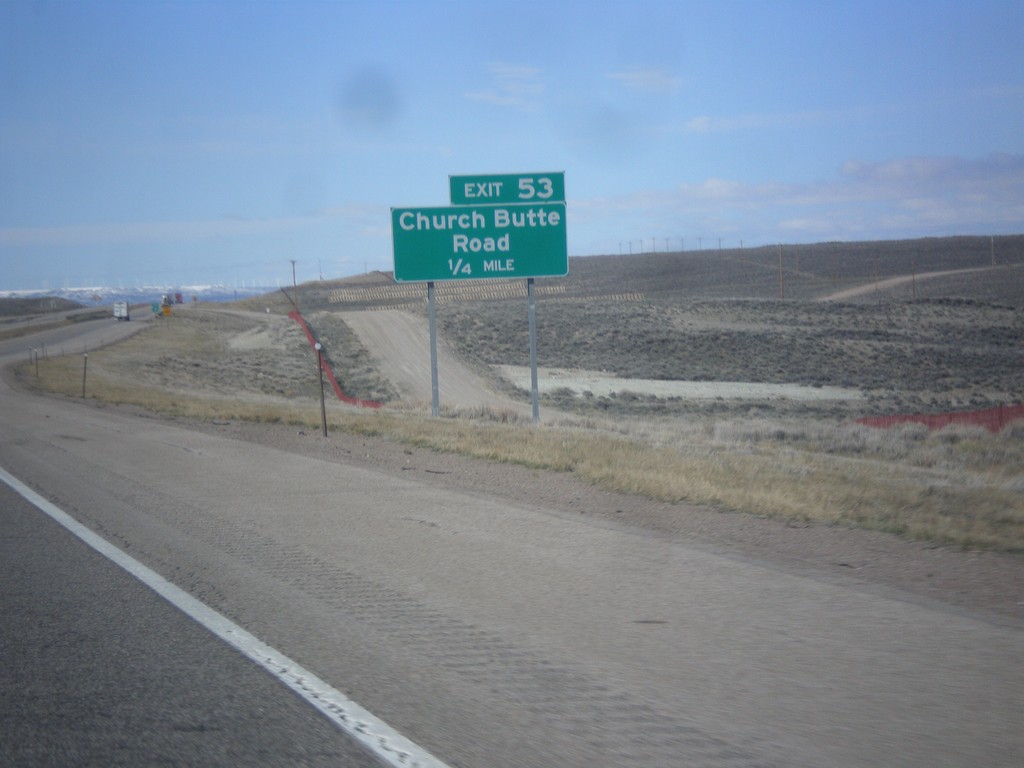
I-80 West - Exit 53
I-80 west approaching Exit 53 - Church Butte Road.
Taken 03-31-2014
 Lyman
Uinta County
Wyoming
United States
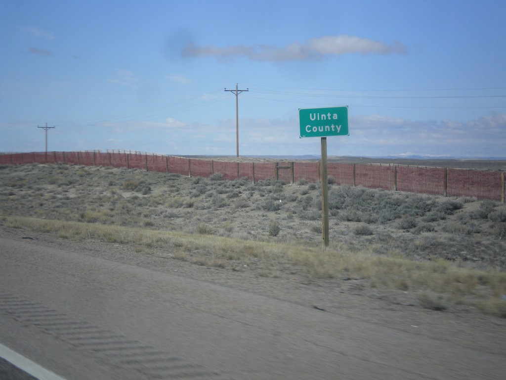
I-80 West - Uinta County
Uinta County on I-80 west. Taken at the Uinta-Sweetwater County Line.
Taken 03-31-2014
 Sweetwater County
Wyoming
United States
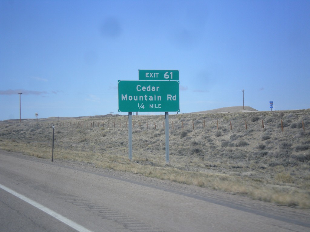
I-80 West - Exit 61
I-80 west approaching Exit 61 - Cedar Mountain Road.
Taken 03-31-2014
 Granger
Sweetwater County
Wyoming
United States
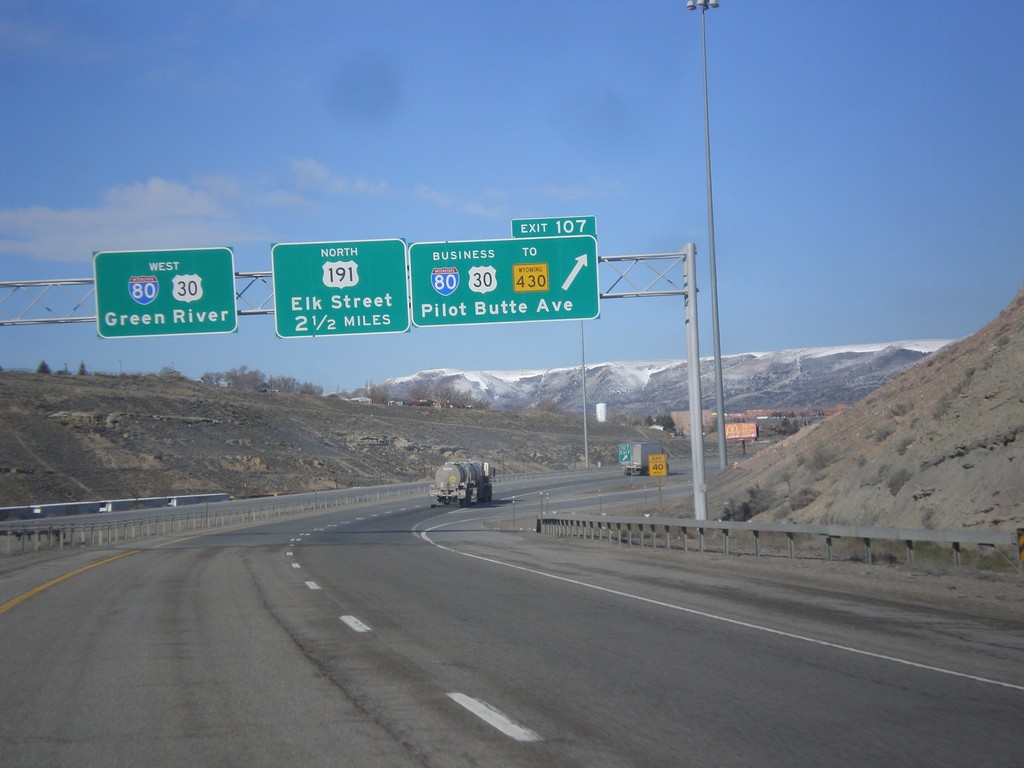
I-80 West - Exit 107 and Exit 104
I-80 west at Exit 104 - BL-80/Business US-30/To WY-430/Pilot Butte Ave. Approaching Exit 104 - US-191 North/Elk St. I-80/US-30 continues west towards Green River. This is the western end of the Rock Springs business loop.
Taken 03-31-2014


 Rock Springs
Sweetwater County
Wyoming
United States
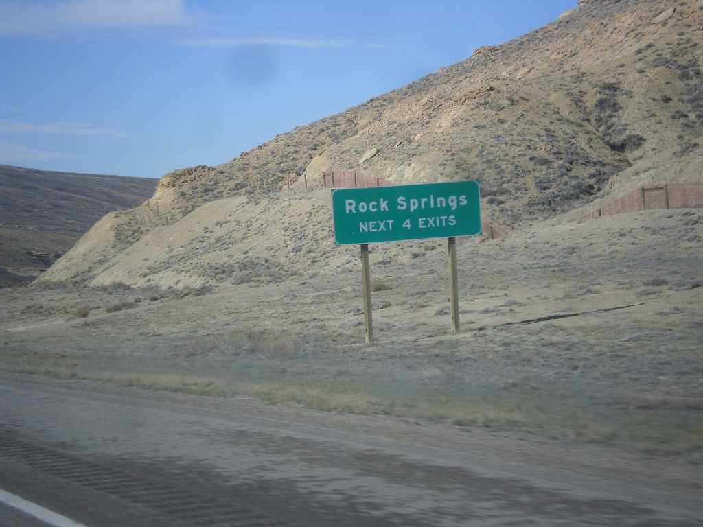
I-80 West - Rock Springs Exits
Rock Springs - Next 4 Exits on I-80 west.
Taken 03-31-2014

 Rock Springs
Sweetwater County
Wyoming
United States
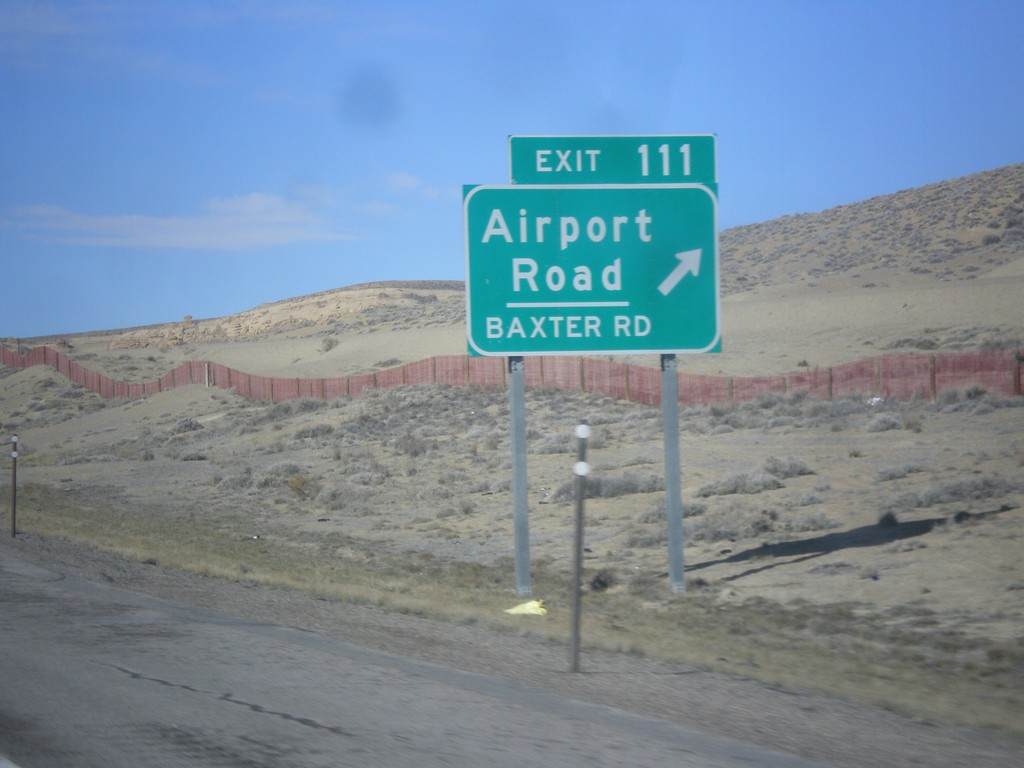
I-80 West - Exit 111
I-80 west at Exit 111 - Airport Road/Baxter Road.
Taken 03-31-2014

 Rock Springs
Sweetwater County
Wyoming
United States
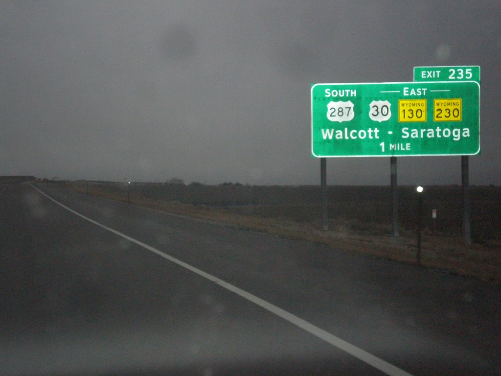
I-80 West - Exit 235
I-80 west approaching Exit 235 - US-287 South/US-30/WY-130/WY-230 East/Walcott/Saratoga.
Taken 03-30-2014


 Walcott
Carbon County
Wyoming
United States
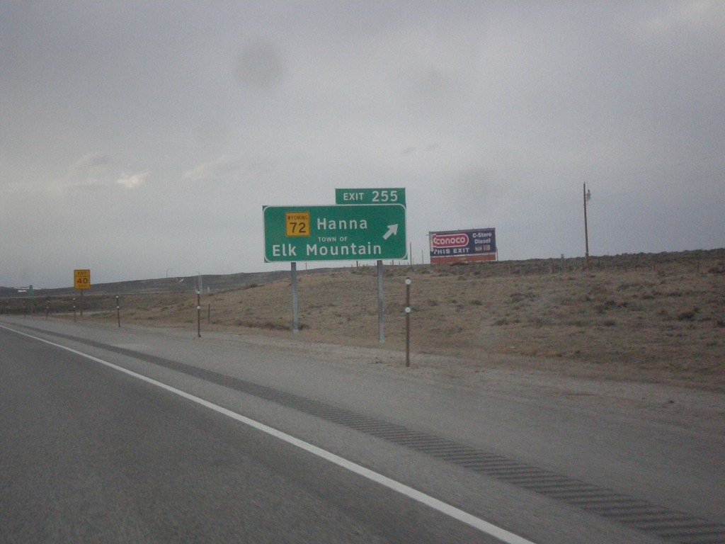
I-80 West Exit 255
I-80 west approaching Exit 255 - WY-72/Hanna/Town of Elk Mountain. The word TOWN OF was added to the sign when the font was converted to Clearview.
Taken 03-30-2014

 Elk Mountain
Carbon County
Wyoming
United States
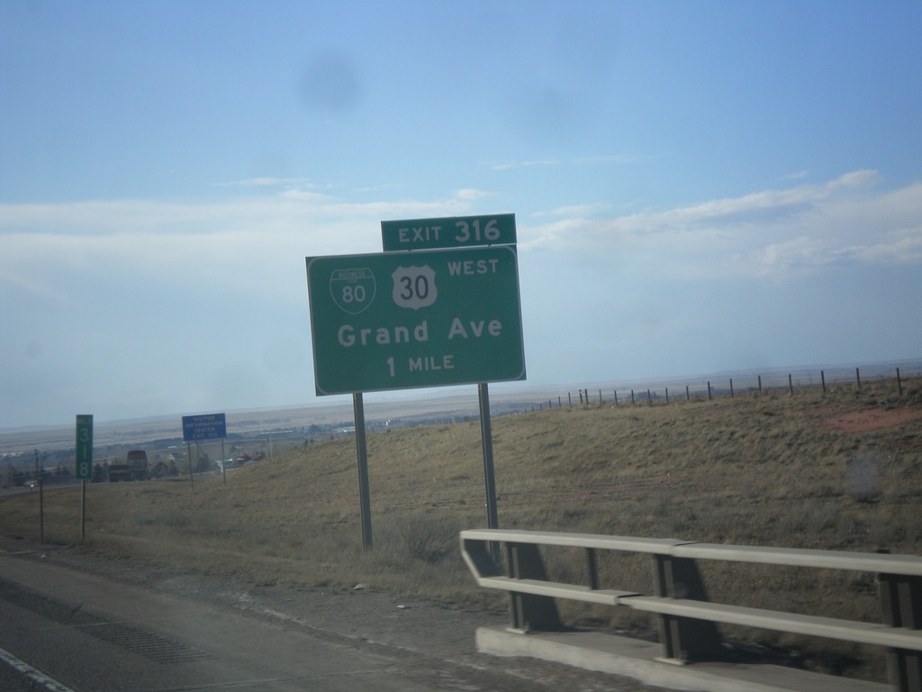
I-80 West - Exit 316
I-80 west approaching Exit 316 - BL-80/US-30 West/Grand Ave. This is the eastern end of the Laramie business loop. US-30 leaves I-80 westbound here and rejoins I-80 at Walcott Junction.
Taken 03-30-2014


 Laramie
Albany County
Wyoming
United States
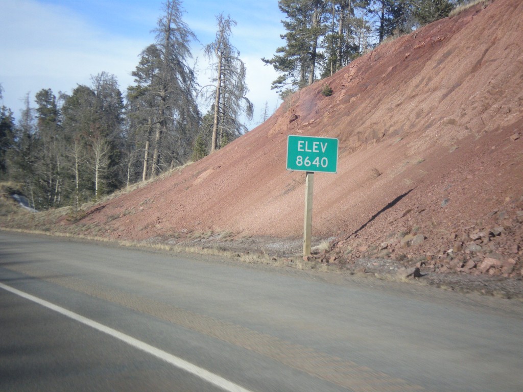
I-80 West - Elevation 8640
I-80 west - Elevation 8640. This is the highest point on all of I-80. The summit lies between Cheyenne and Laramie in the Sherman Mountains.
Taken 03-30-2014

 Laramie
Albany County
Wyoming
United States