Signs Tagged With Big Green Sign
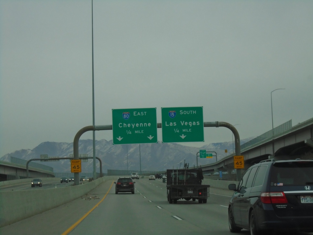
End UT-201 East at I-15 South/I-80 East
End UT-201 East at I-15 South/I-80 East in Salt Lake City. Use I-15 south for Las Vegas (Nevada); I-80 east for Cheyenne (Wyoming).
Taken 12-30-2020


 South Salt Lake
Salt Lake County
Utah
United States
South Salt Lake
Salt Lake County
Utah
United States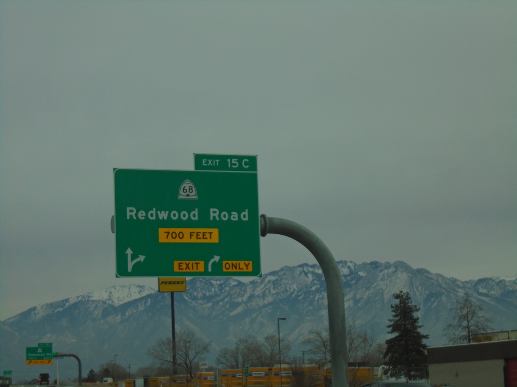
UT-201 East - Exit 15C
UT-201 East at Exit 15C - UT-68/Redwood Road.
Taken 12-30-2020
 West Valley City
Salt Lake County
Utah
United States
West Valley City
Salt Lake County
Utah
United States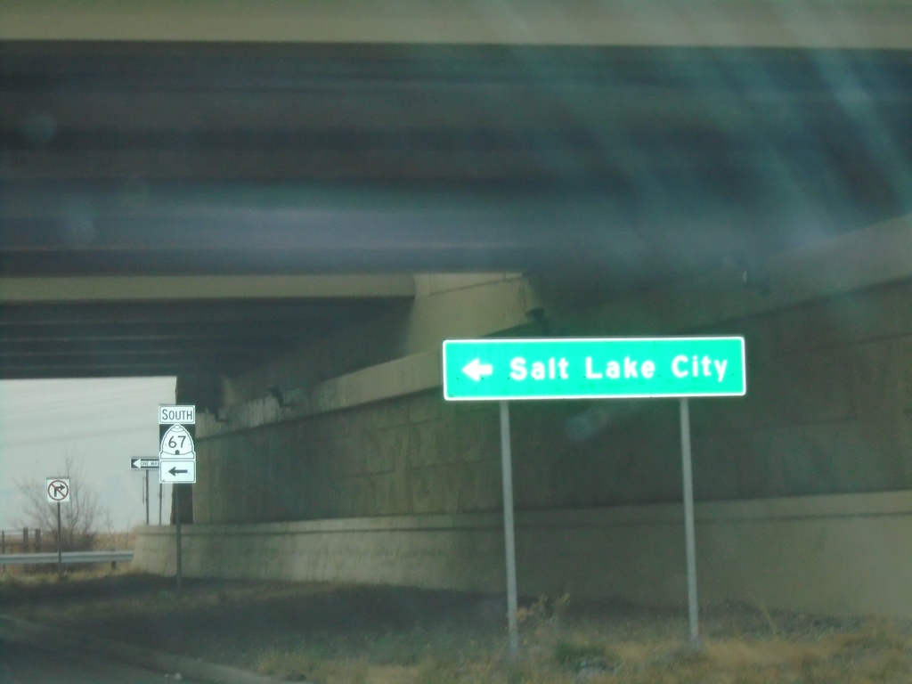
End UT-105 West at UT-67 South
End UT-105 West (Parrish Lane) at UT-67 South (Legacy Parkway) to Salt Lake City.
Taken 12-30-2020

 West Bountiful
Davis County
Utah
United States
West Bountiful
Davis County
Utah
United States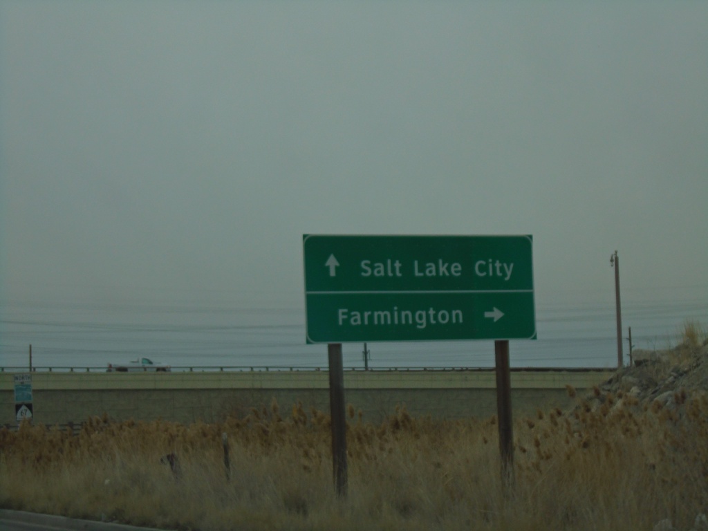
End UT-105 West at UT-67
End UT-105 West (Parrish Lane) at UT-67 (Legacy Parkway). Use UT-67 north for Farmington; UT-67 south for Salt Lake City.
Taken 12-30-2020
Centerville
Davis County
Utah
United States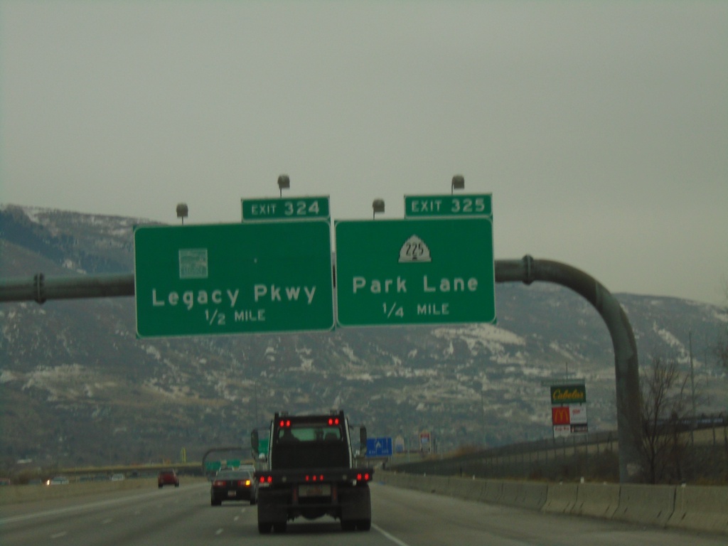
I-15 South - Exits 325 and 324
I-15 south at Exit 325 - UT-225/Park Lane. Approaching Exit 324 - (UT-67)/Legacy Parkway.
Taken 12-30-2020
 Farmington
Davis County
Utah
United States
Farmington
Davis County
Utah
United States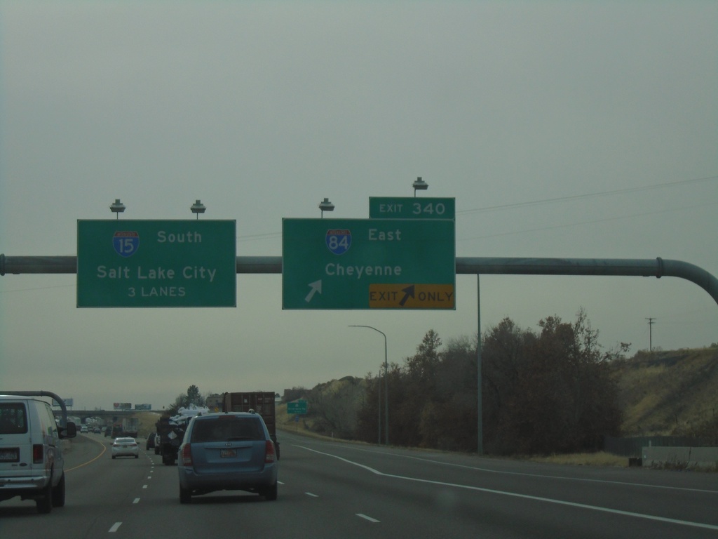
I-15 South/I-84 East Split - Exit 340
I-15 South/I-84 East split at Exit 340. Use I-84 East to Cheyenne; continue south on I-15 for Salt Lake City.
Taken 12-30-2020
 Ogden
Weber County
Utah
United States
Ogden
Weber County
Utah
United States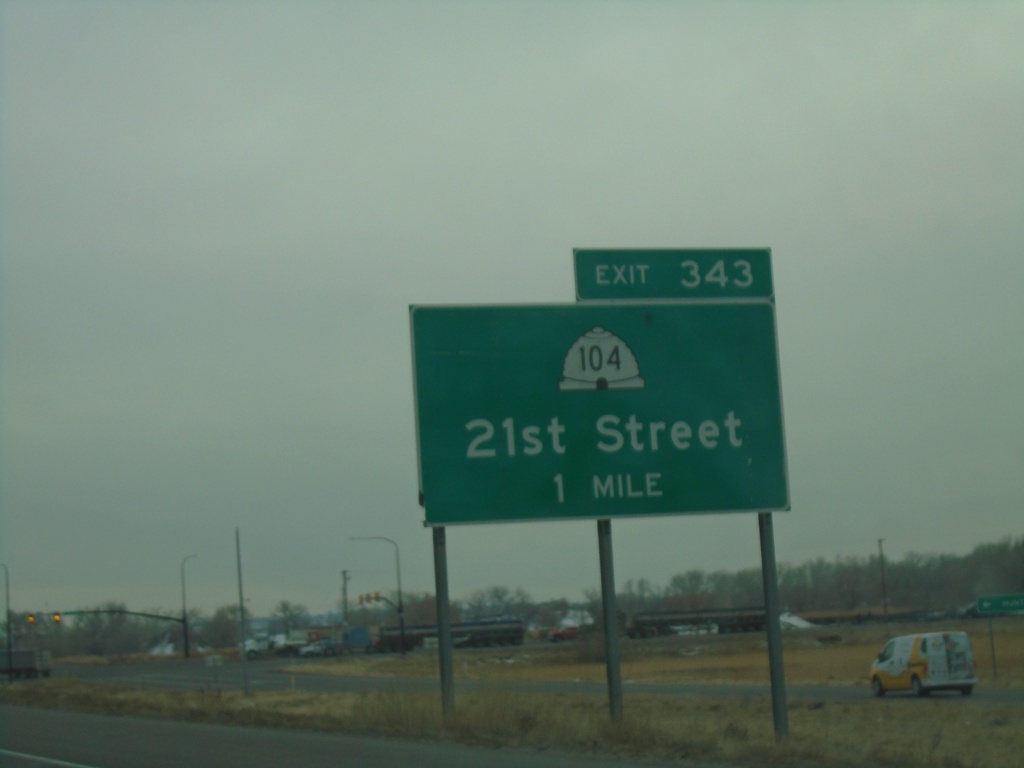
I-15 South - Exit 343
I-15 south approaching Exit 343 - UT-104/21st St.
Taken 12-30-2020
 Marriott-Slaterville
Weber County
Utah
United States
Marriott-Slaterville
Weber County
Utah
United States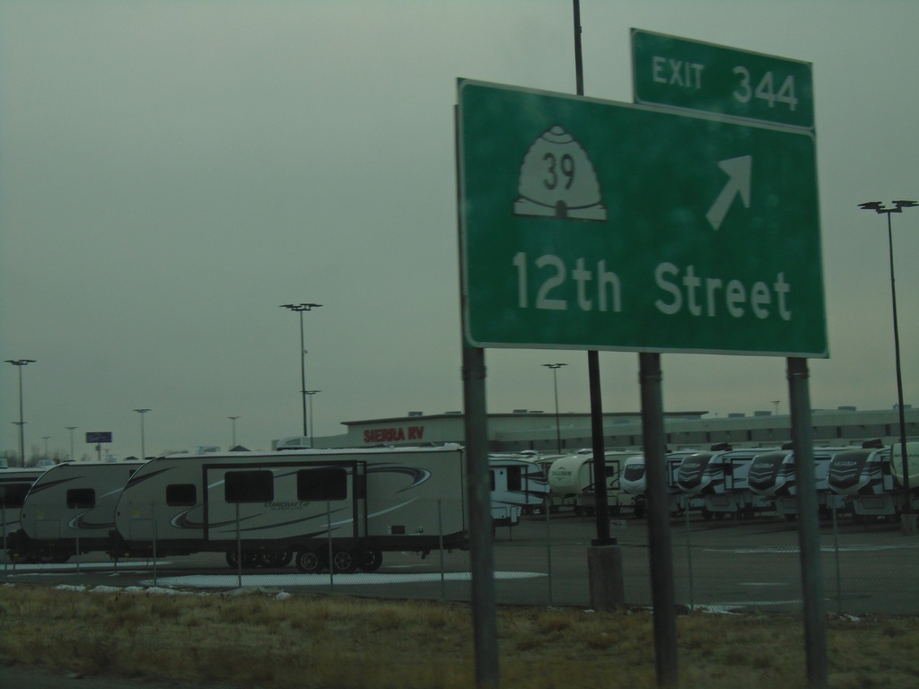
I-15 South/I-84 East - Exit 344
I-15 South/I-84 East at Exit 344 - UT-39/12th St.
Taken 12-30-2020
 Marriott-Slaterville
Weber County
Utah
United States
Marriott-Slaterville
Weber County
Utah
United States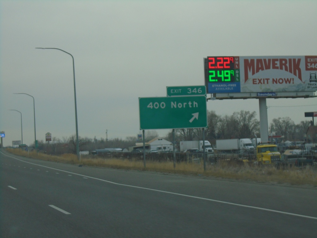
I-15 South/I-84 East - Exit 346
I-15 South/I-84 East at Exit 346 - 400 North.
Taken 12-30-2020
Ogden
Weber County
Utah
United States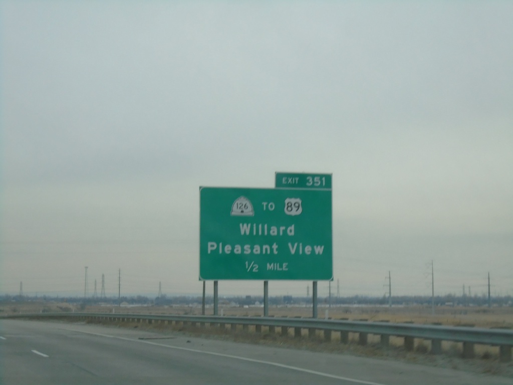
I-15 South - Exit 351
I-15 south approaching Exit 351 - UT-126/To US-89/Willard/Pleasant View
Taken 12-30-2020

 Willard
Box Elder County
Utah
United States
Willard
Box Elder County
Utah
United States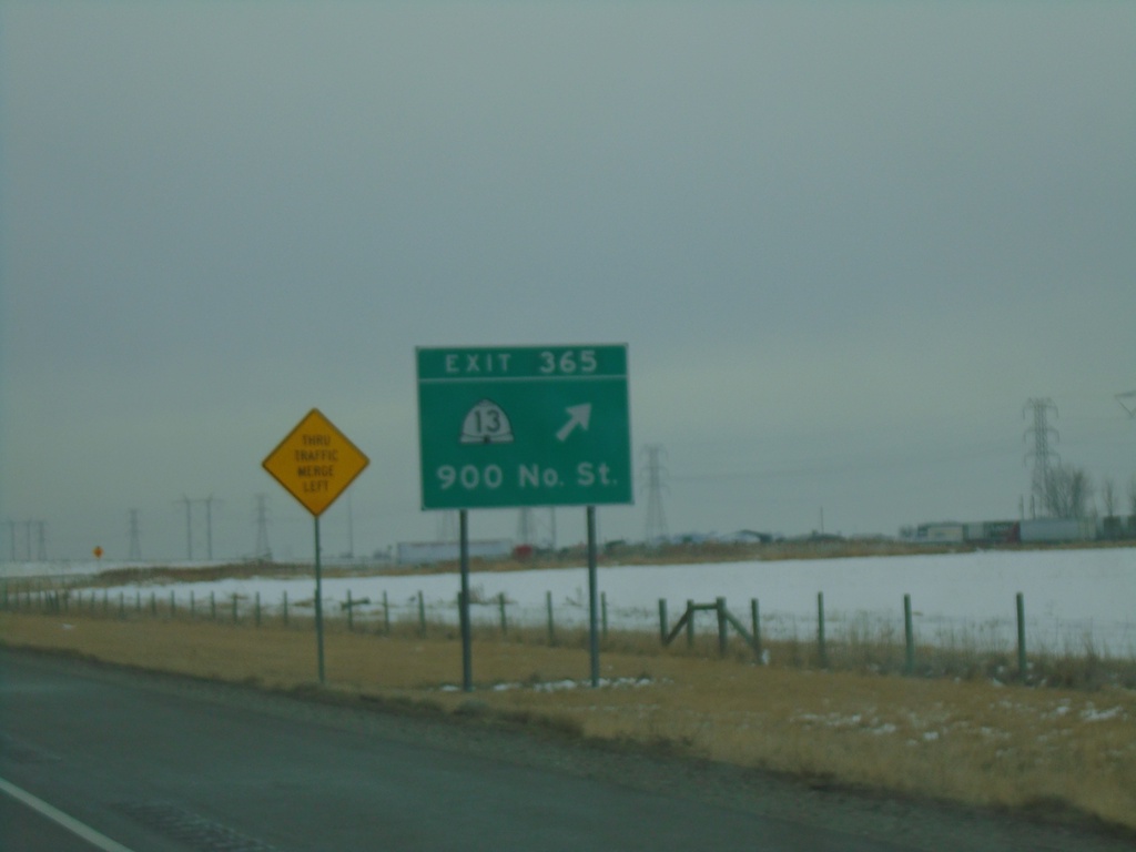
I-15 South/I-84 East - Exit 365
I-15 South/I-84 East at Exit 365 - UT-13/900 North St.
Taken 12-30-2020
 Brigham City
Box Elder County
Utah
United States
Brigham City
Box Elder County
Utah
United States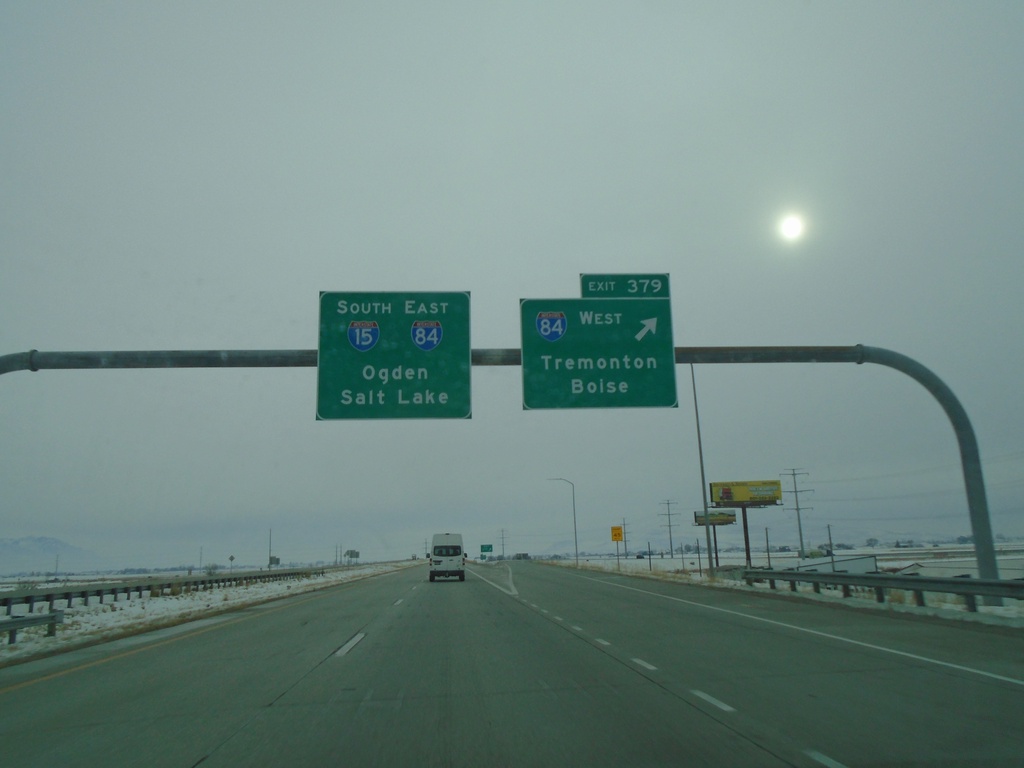
I-15 South at I-84 - Tremonton
I-15 South at I-84 in Tremonton. Use Exit 379 for I-84 West/Tremonton/Boise (Idaho). I-84 east joins I-15 southbound. Use I-15 South/I-84 East for Ogden and Salt Lake. The winter sun is glowing through the fog.
Taken 12-30-2020
Tremonton
Box Elder County
Utah
United States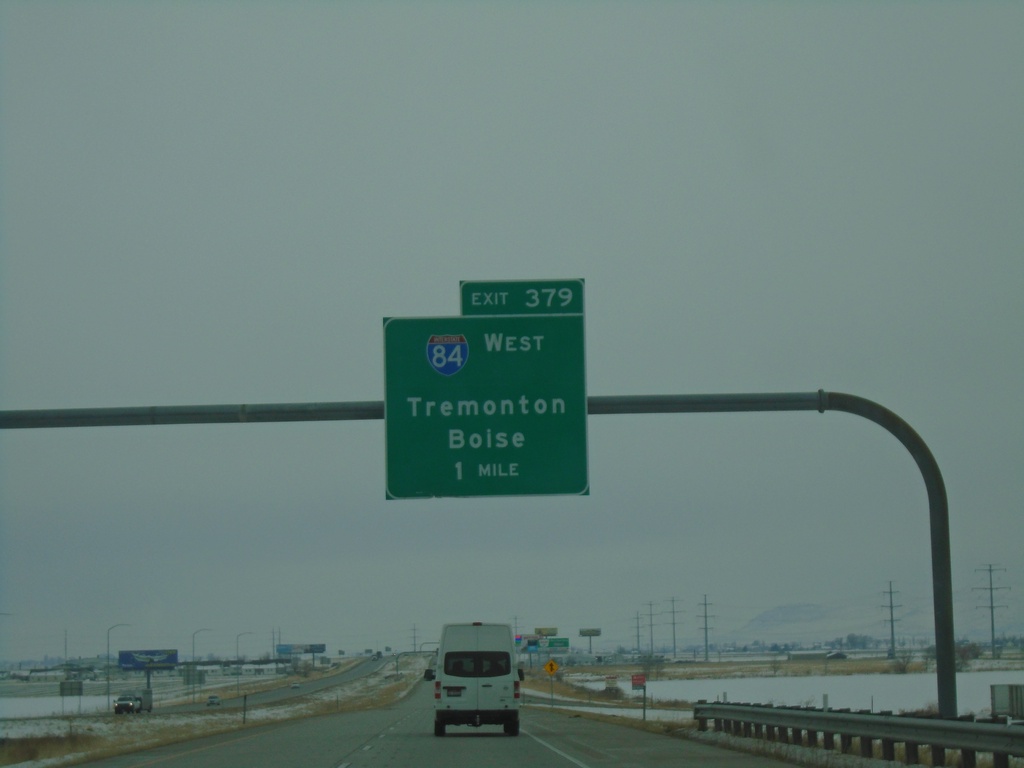
I-15 South - Exit 379
I-15 south approaching Exit 379 - I-84 West/Tremonton/Boise (Idaho). I-84 east joins I-15 southbound to Ogden.
Taken 12-30-2020
Tremonton
Box Elder County
Utah
United States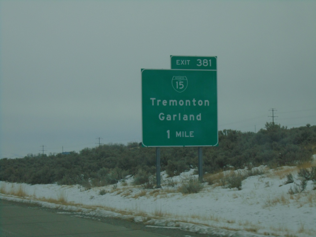
I-15 South - Exit 381
I-15 south approaching Exit 381 - BL-15/Tremonton/Garland.
Taken 12-30-2020
 Garland
Box Elder County
Utah
United States
Garland
Box Elder County
Utah
United States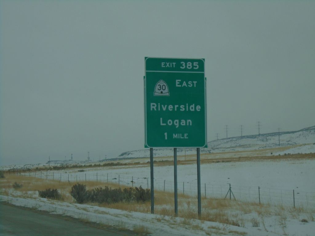
I-15 South - Exit 385
I-15 south approaching Exit 385 - UT-30 East/Riverside/Logan. This sign appears to be attached to an older, smaller sign.
Taken 12-30-2020
 Garland
Box Elder County
Utah
United States
Garland
Box Elder County
Utah
United States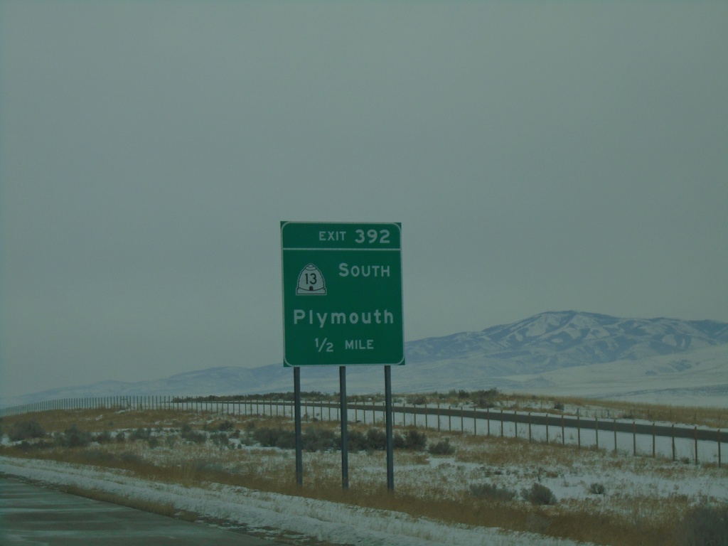
I-15 South - Exit 392
I-15 south approaching Exit 392 - UT-13 South/Plymouth.
Taken 12-30-2020
Garland
Box Elder County
Utah
United States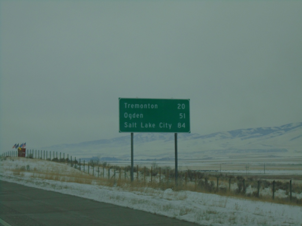
I-15 South - Distance Marker
Distance marker on I-15 south. Distance to Tremonton, Ogden, and Salt Lake City. This is the first distance marker southbound on I-15 in Utah.
Taken 12-30-2020
Portage
Box Elder County
Utah
United States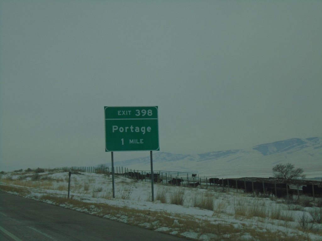
I-15 South - Exit 398
I-15 south approaching Exit 398 - Portage. This is the first exit southbound on I-15 in Utah.
Taken 12-30-2020
Portage
Box Elder County
Utah
United States
I-15 South - Welcome To Utah
Welcome to Utah - Life Elevated on I-15 south. Taken at the Idaho-Utah state line.
Taken 12-30-2020
Portage
Box Elder County
Utah
United States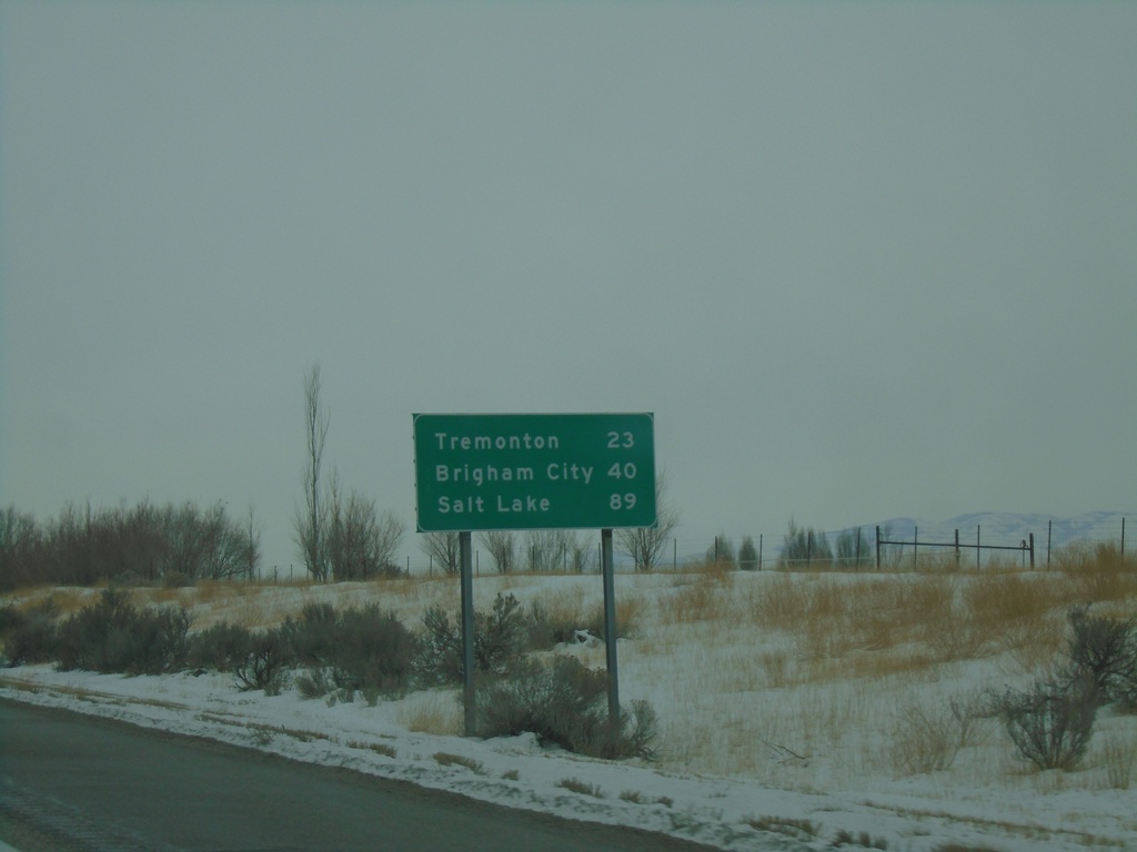
I-15 South - Distance Marker
Last distance marker in Idaho on I-15 south. Distance to Tremonton, Brigham City, and Salt Lake. All destinations listed are in Utah.
Taken 12-30-2020
Malad City
Oneida County
Idaho
United States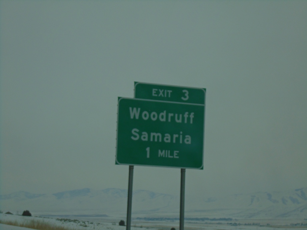
I-15 South - Exit 3
I-15 south approaching Exit 3 - Woodruff/Samaria. This is the last exit in Idaho on I-15 southbound.
Taken 12-30-2020
Malad City
Oneida County
Idaho
United States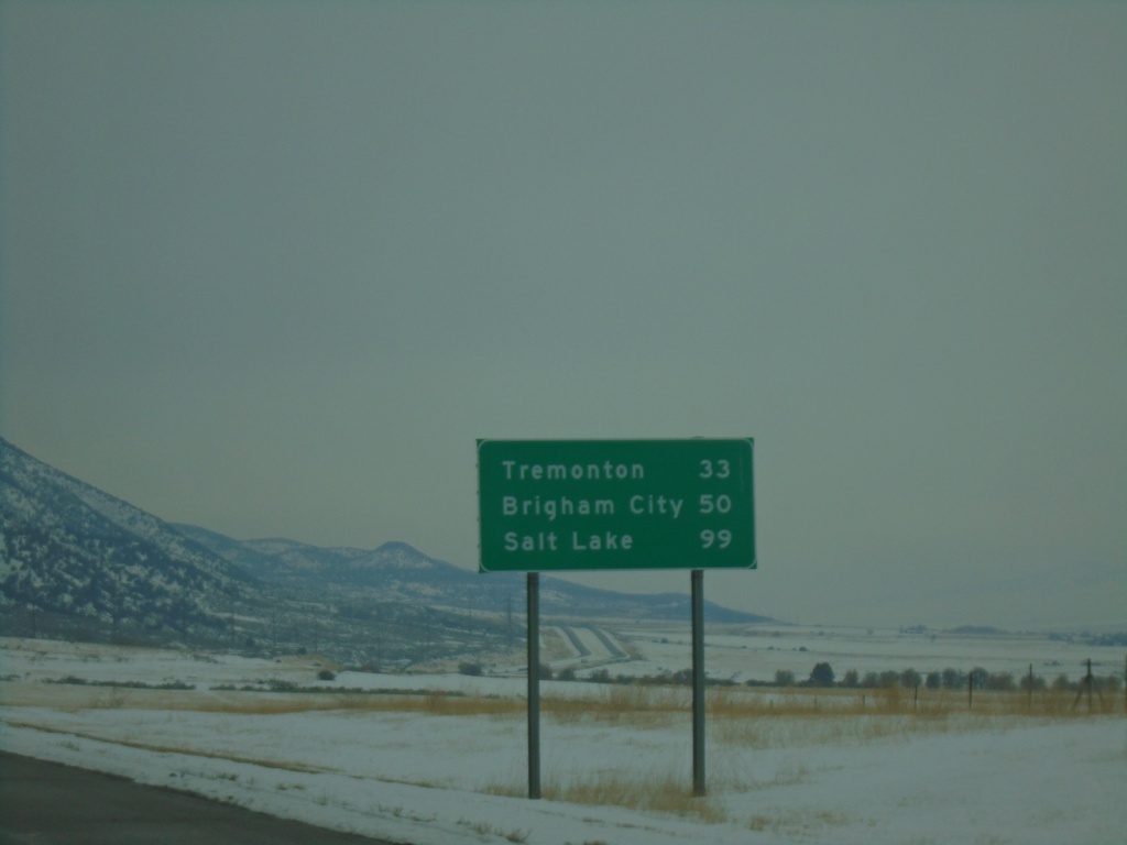
I-15 South - Distance Marker
Distance marker on I-15 south. Distance to Tremonton, Brigham City, and Salt Lake. All destinations listed are in Utah.
Taken 12-30-2020
Malad City
Oneida County
Idaho
United States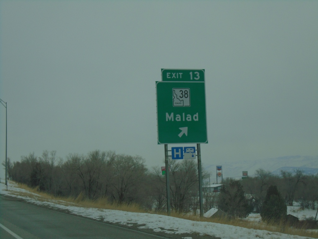
I-15 South - Exit 13
I-15 south at Exit 13 - ID-38/Malad.
Taken 12-30-2020
 Malad City
Oneida County
Idaho
United States
Malad City
Oneida County
Idaho
United States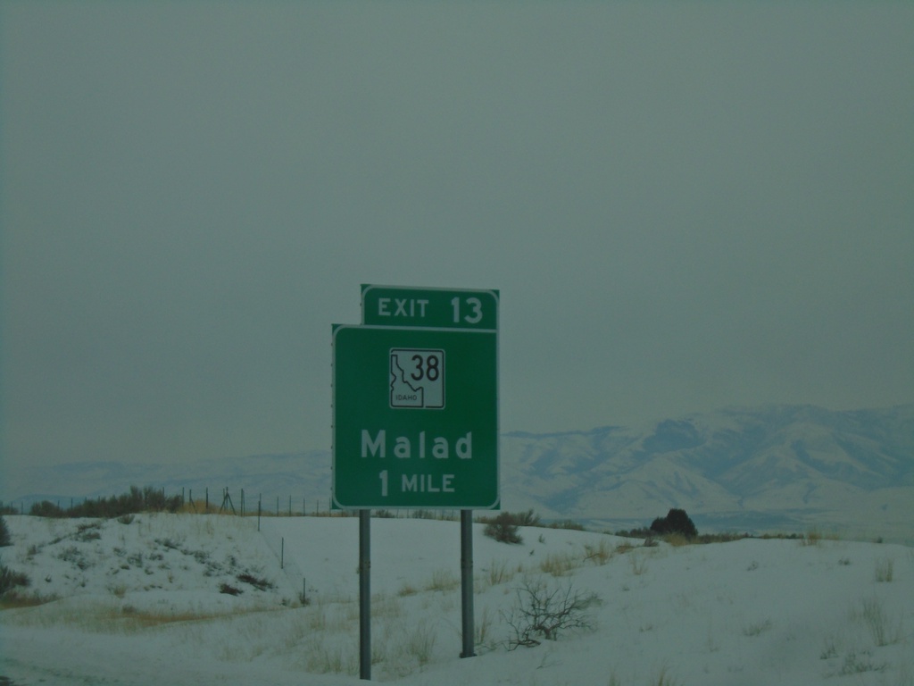
I-15 South - Exit 13
I-15 south approaching Exit 13 - ID-38/Malad.
Taken 12-30-2020
Malad City
Oneida County
Idaho
United States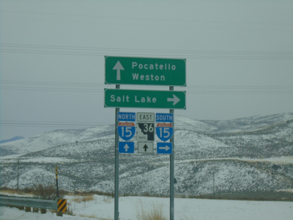
Deep Creek Road at I-15/ID-36 (Exit 17)
Deep Creek Road at I-15/ID-36 (Exit 17). Turn right for I-15 south to Salt Lake (Utah); continue over freeway for ID-36 East to Weston and for I-15 north to Pocatello.
Taken 12-30-2020
 Malad City
Oneida County
Idaho
United States
Malad City
Oneida County
Idaho
United States