Signs Tagged With Big Green Sign
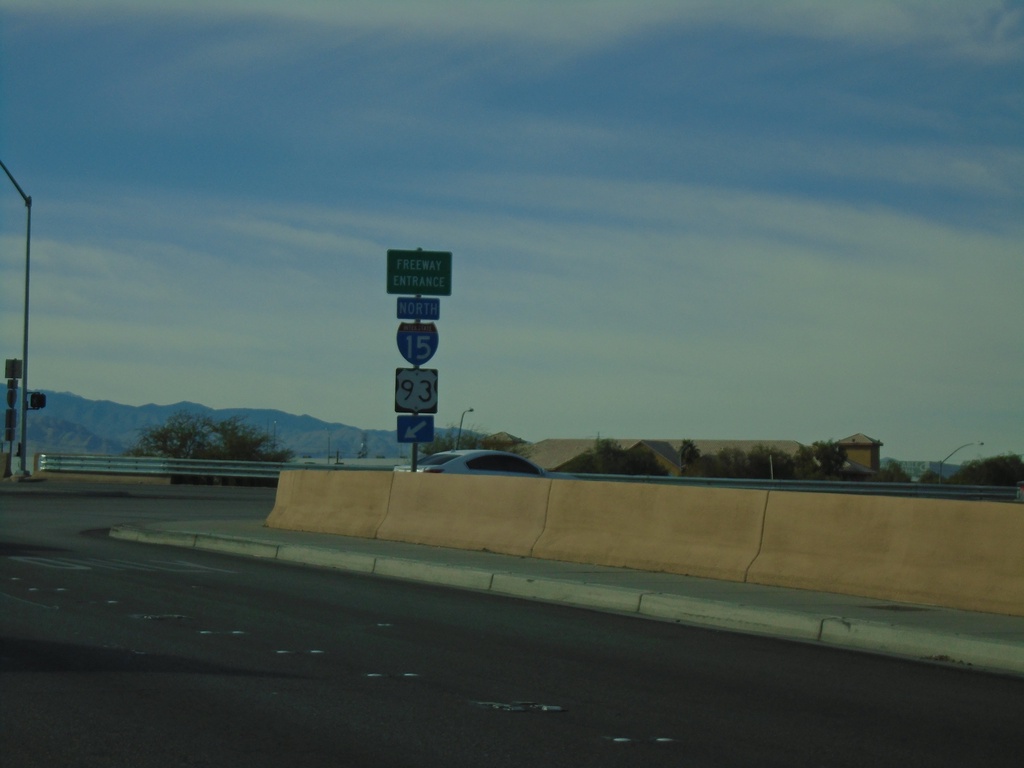
Craig Road West at I-15/US-93 North
Craig Road West (NV-573) at I-15/US-93 North onramp (Exit 48).
Taken 11-26-2019


 Las Vegas
Clark County
Nevada
United States
Las Vegas
Clark County
Nevada
United States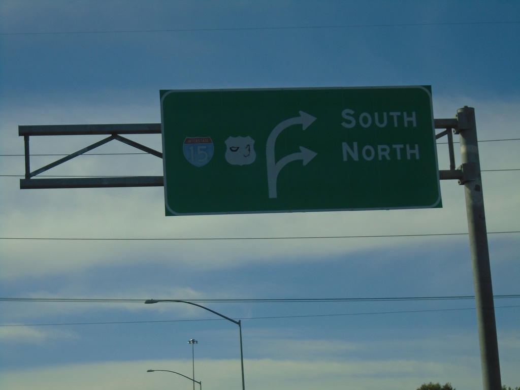
NV-573 West at I-15 (Exit 48)
Craig Road (NV-573) West at I-15/US-93 (Exit 48) in North Las Vegas.
Taken 11-26-2019
Las Vegas
Clark County
Nevada
United States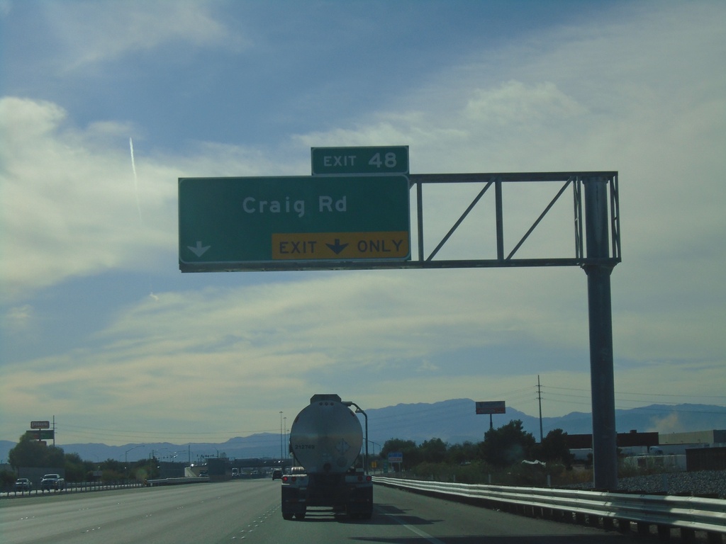
I-15 South - Exit 48
I-15 south approaching Exit 48 - Craig Road
Taken 11-26-2019
North Las Vegas
Clark County
Nevada
United States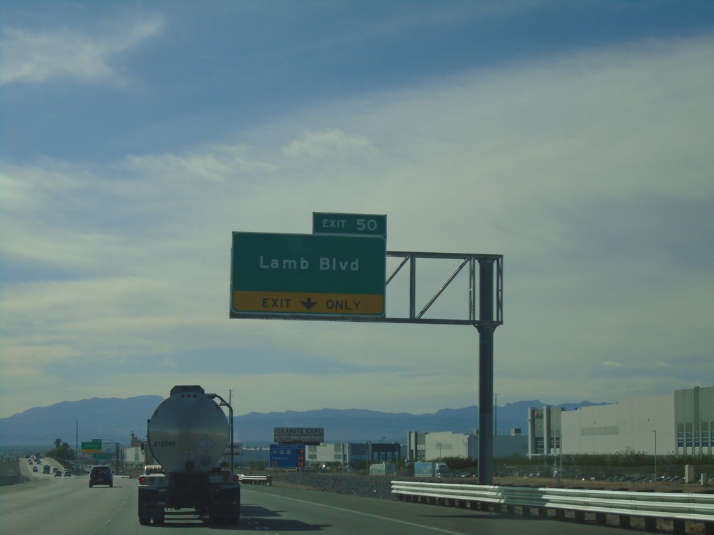
I-15 South - Exit 50
I-15 south approaching Exit 50 - Lamb Blvd
Taken 11-26-2019
 Las Vegas
Clark County
Nevada
United States
Las Vegas
Clark County
Nevada
United States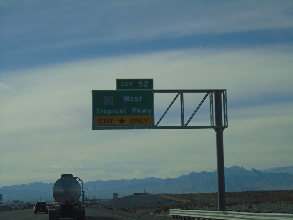
I-15 South - Exit 52
I-15 south approaching Exit 52 - CR-215/Tropical Parkway. This is the north end of the Las Vegas Beltway.
Taken 11-26-2019
 Las Vegas
Clark County
Nevada
United States
Las Vegas
Clark County
Nevada
United States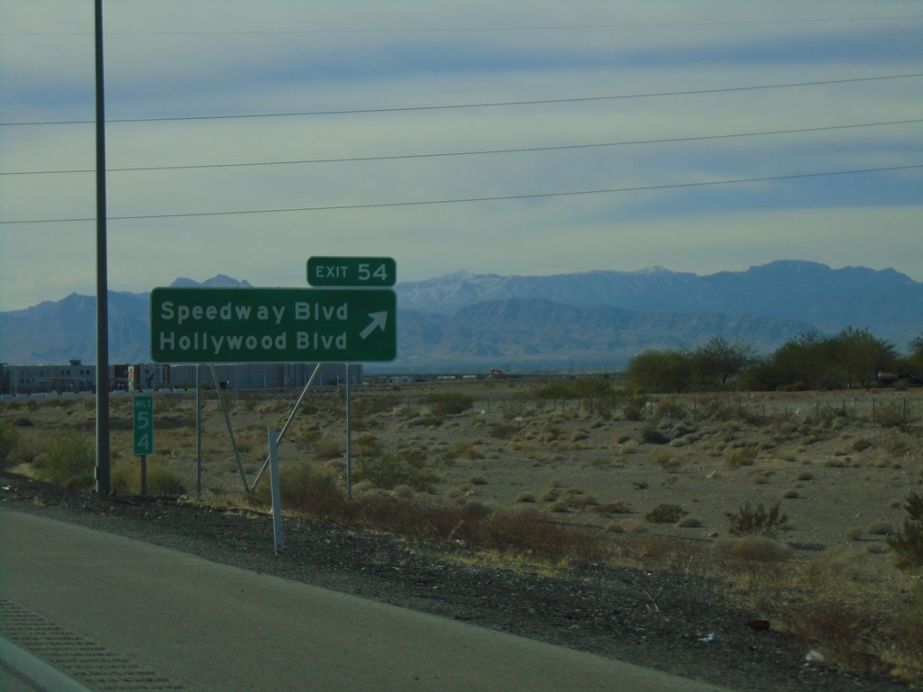
I-15 South - Exit 54
I-15 south at Exit 54 - Speedway Blvd/Hollywood Blvd
Taken 11-26-2019
Las Vegas
Clark County
Nevada
United States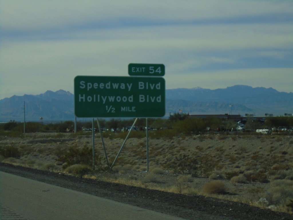
I-15 South - Exit 54
I-15 south approaching Exit 54 - Hollywood Blvd./Speedway Blvd.
Taken 11-26-2019
Las Vegas
Clark County
Nevada
United States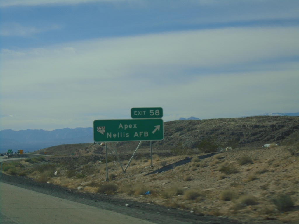
I-15 South - Exit 58
I-15 south at Exit 58 - NV-604/Apex/Nellis AFB
Taken 11-26-2019
 Las Vegas
Clark County
Nevada
United States
Las Vegas
Clark County
Nevada
United States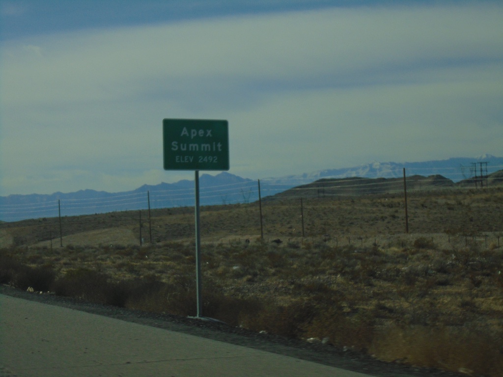
I-15 South - Apex Summit
I-15 south at Apex Summit - Elevation 2492 Feet.
Taken 11-26-2019
Nellis Air Force Base
Clark County
Nevada
United States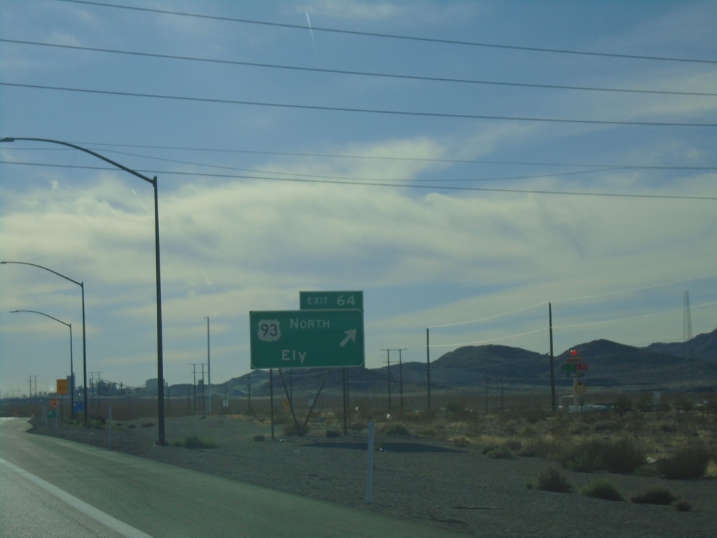
I-15 South - Exit 64
I-15 south approaching Exit 64 - US-93 North/Ely. US-93 south joins I-15 south to Las Vegas.
Taken 11-26-2019
Arrolime
Clark County
Nevada
United States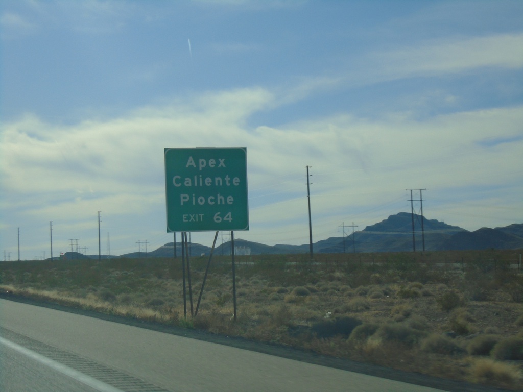
I-15 South - Exit 64
I-15 south approaching Exit 64 - US-93 North. Use Exit 64 for Apex, Caliente, and Pioche.
Taken 11-26-2019
North Las Vegas
Clark County
Nevada
United States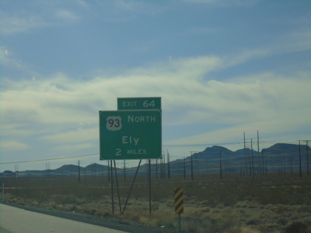
I-15 South - Exit 64
I-15 south approaching Exit 64 - US-93 North/Ely
Taken 11-26-2019
North Las Vegas
Clark County
Nevada
United States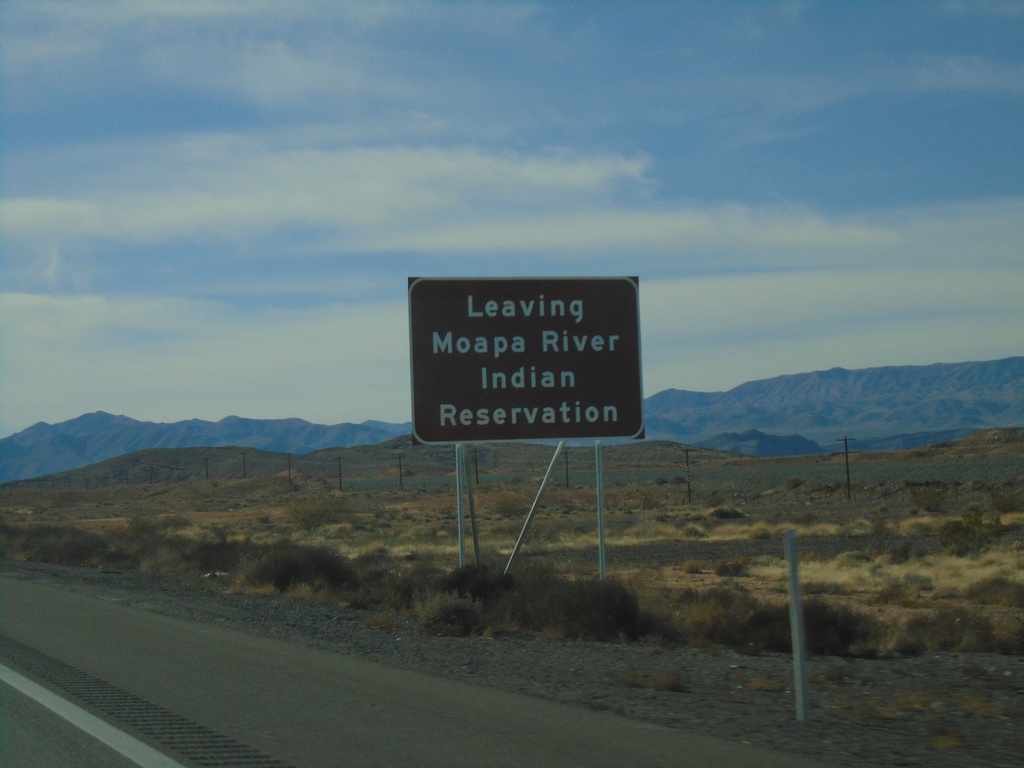
I-15 South - Leaving Moapa Indian Reservation
Leaving Moapa Indian Reservation on I-15 south
Taken 11-26-2019
Crystal
Clark County
Nevada
United States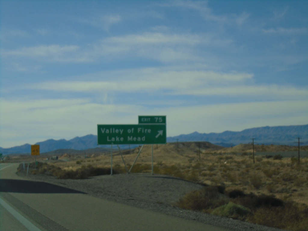
I-15 South - Exit 75
I-15 south at Exit 75 - Valley of Fire/Lake Mead
Taken 11-26-2019
Crystal
Clark County
Nevada
United States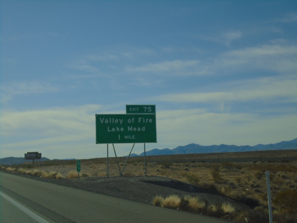
I-15 South - Exit 77
I-15 south approaching Exit 77 - Valley of Fire/Lake Mead
Taken 11-26-2019
Crystal
Clark County
Nevada
United States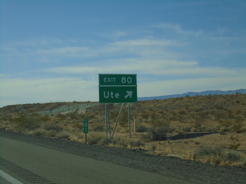
I-15 South - Exit 80
I-15 south at Exit 80 - Ute
Taken 11-26-2019
Moapa
Clark County
Nevada
United States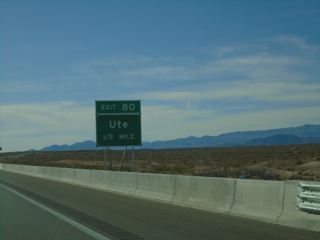
I-15 South - Exit 80
I-15 south approaching Exit 80 - Ute
Taken 11-26-2019
Ute
Clark County
Nevada
United States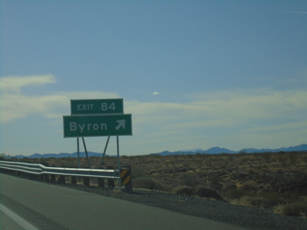
I-15 South - Exit 84
I-15 south at Exit 84 - Byron
Taken 11-26-2019
Moapa
Clark County
Nevada
United States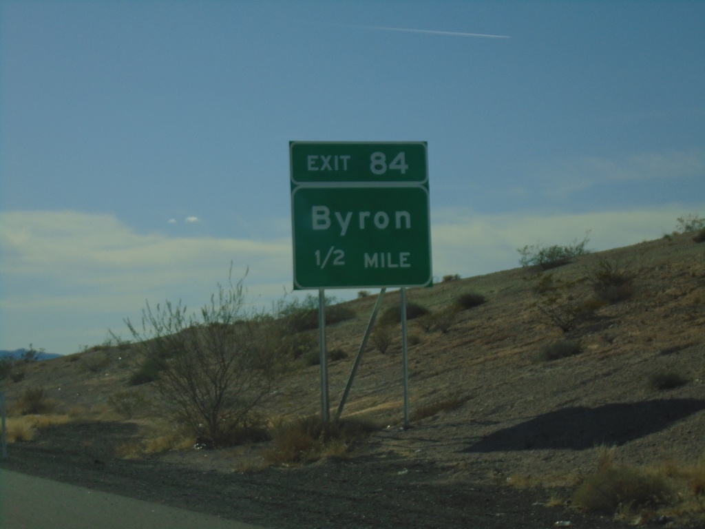
I-15 South - Exit 84
I-15 south approaching Exit 84 - Byron
Taken 11-26-2019
Moapa
Clark County
Nevada
United States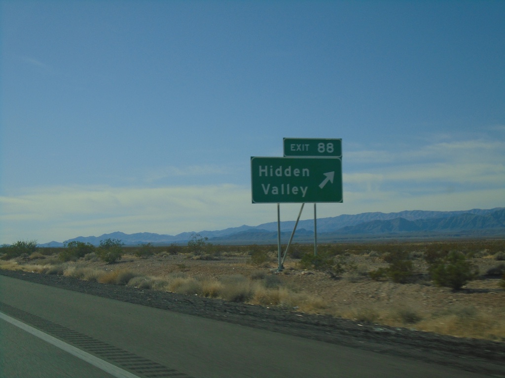
I-15 South - Exit 88
I-15 south at Exit 88 - Hidden Valley
Taken 11-26-2019
Moapa
Clark County
Nevada
United States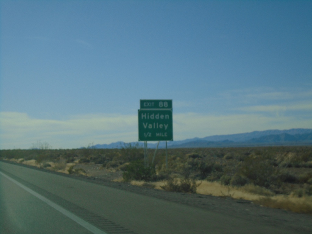
I-15 South - Exit 88
I-15 south approaching Exit 88 - Hidden Valley
Taken 11-26-2019
Moapa
Clark County
Nevada
United States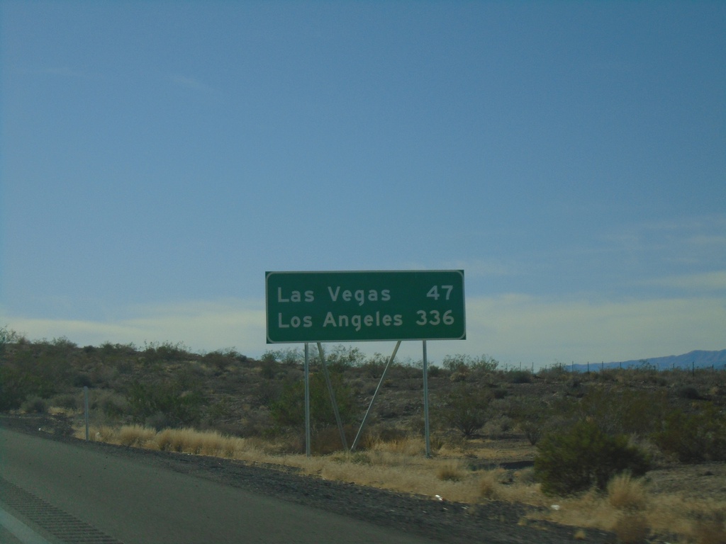
I-15 South - Distance Marker
Distance marker on I-15 south. Distance to Las Vegas and Los Angeles (CA). This is the first appearance of Los Angeles on a distance marker on I-15 southbound.
Taken 11-26-2019
Moapa
Clark County
Nevada
United States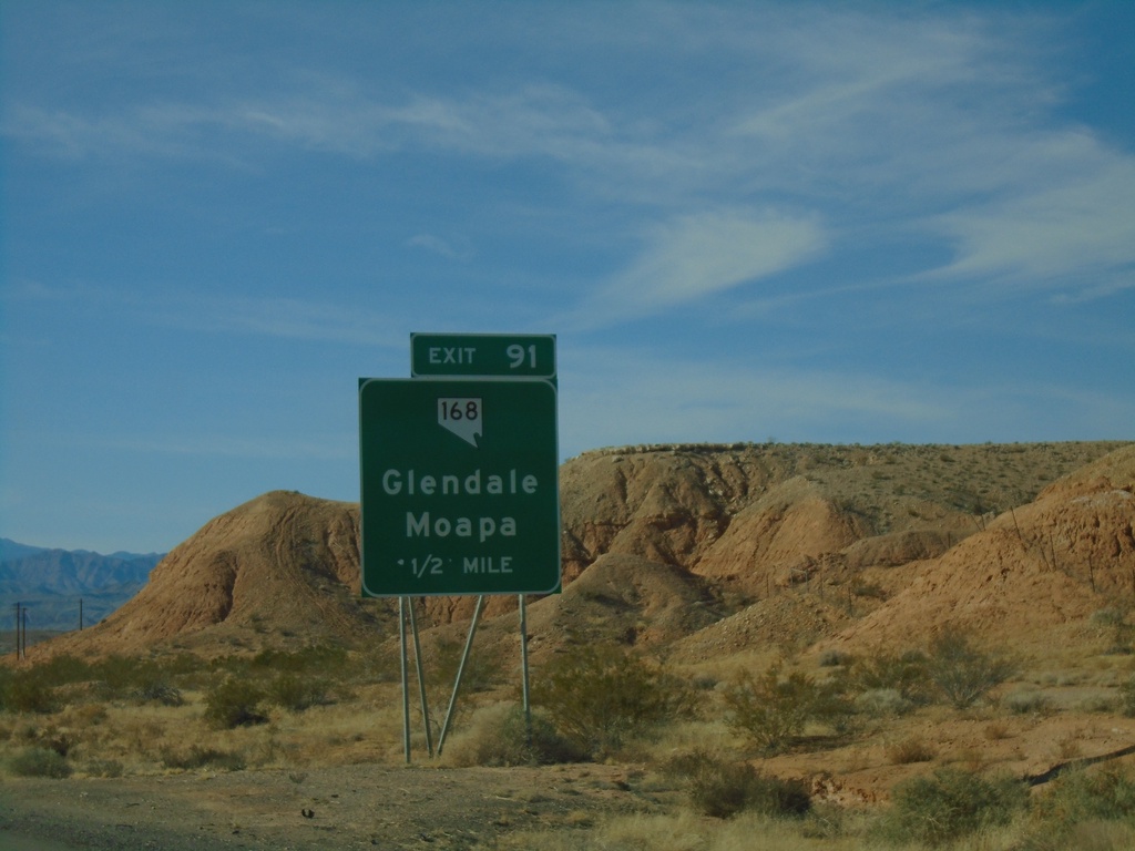
I-15 South - Exit 91
I-15 south approaching Exit 91 - NV-168/Glendale/Moapa
Taken 11-26-2019
 Moapa
Clark County
Nevada
United States
Moapa
Clark County
Nevada
United States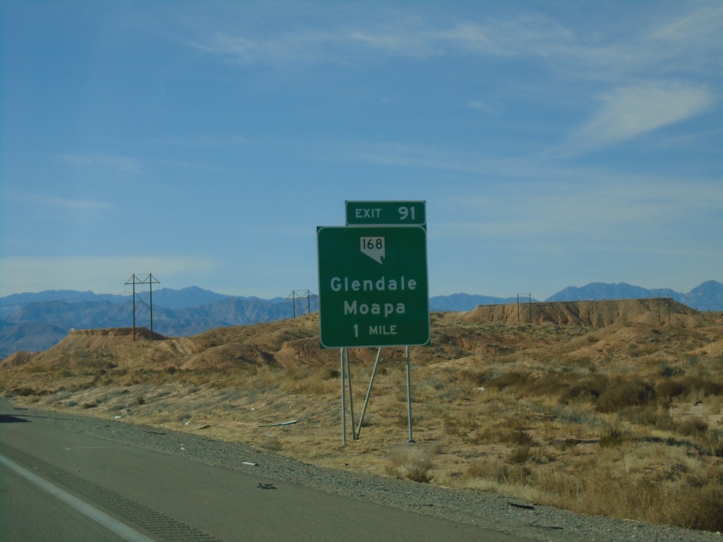
I-15 South - Exit 91
I-15 south approaching Exit 91 - NV-168/Glendale/Moapa
Taken 11-26-2019
Moapa
Clark County
Nevada
United States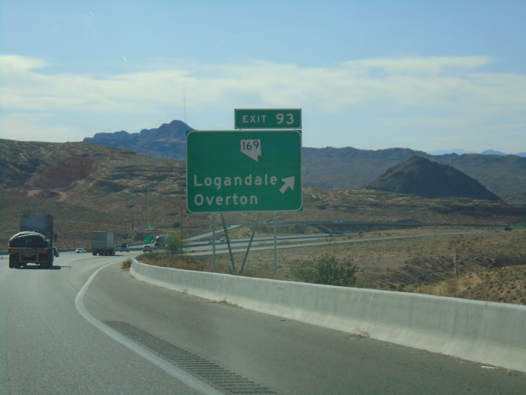
I-15 South - Exit 93
I-15 south at Exit 93 - NV-169/Logandale/Overton
Taken 11-26-2019
 Moapa Valley
Clark County
Nevada
United States
Moapa Valley
Clark County
Nevada
United States