Signs Tagged With Big Green Sign
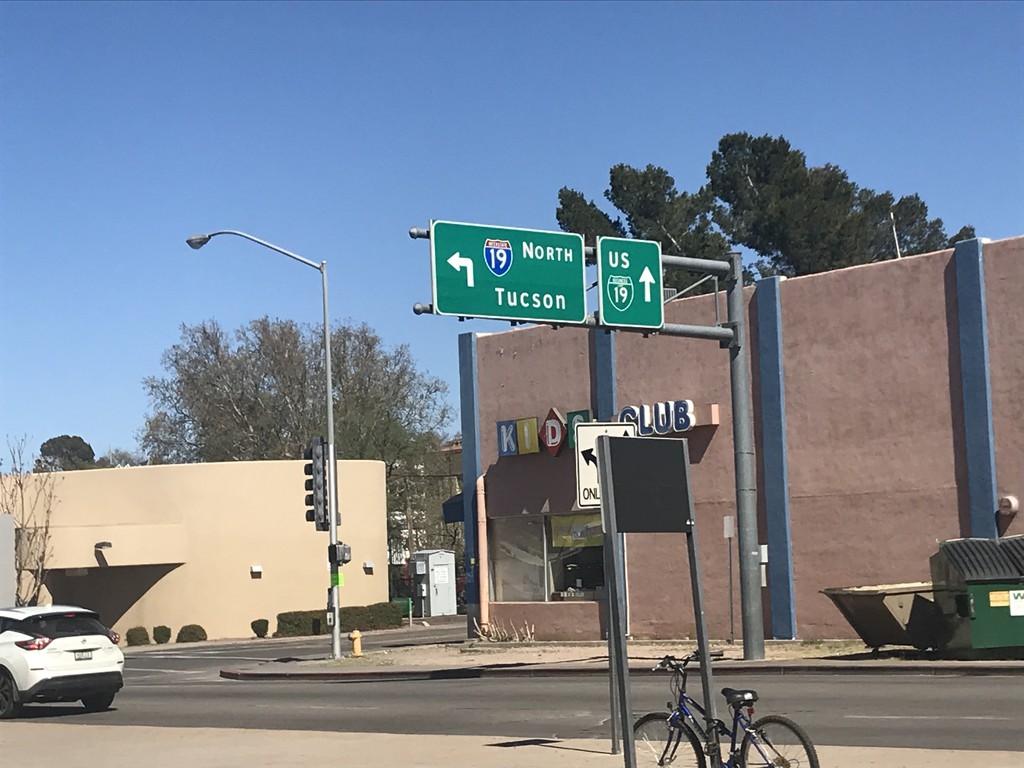
Grand Ave. North at Begin of I-19
Grand Ave. North at Begin of I-19 just north of Mexican border. Turn left for I-19 North to Tucson; continue straight for BL-19/Grand Ave. North.
Taken 03-23-2019

 Nogales
Santa Cruz County
Arizona
United States
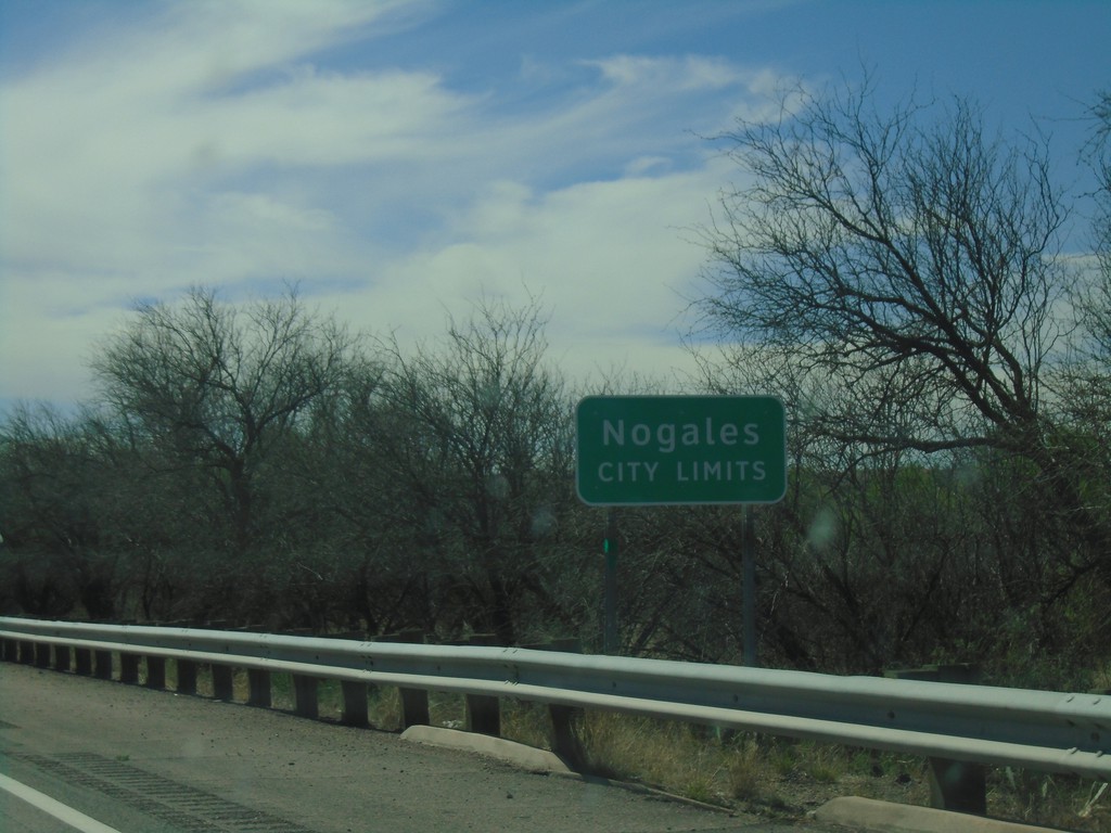
I-19 South - Nogales City Limit
Nogales City Limit on I-19 south. Nogales is the county seat of Santa Cruz County.
Taken 03-23-2019
 Nogales
Santa Cruz County
Arizona
United States
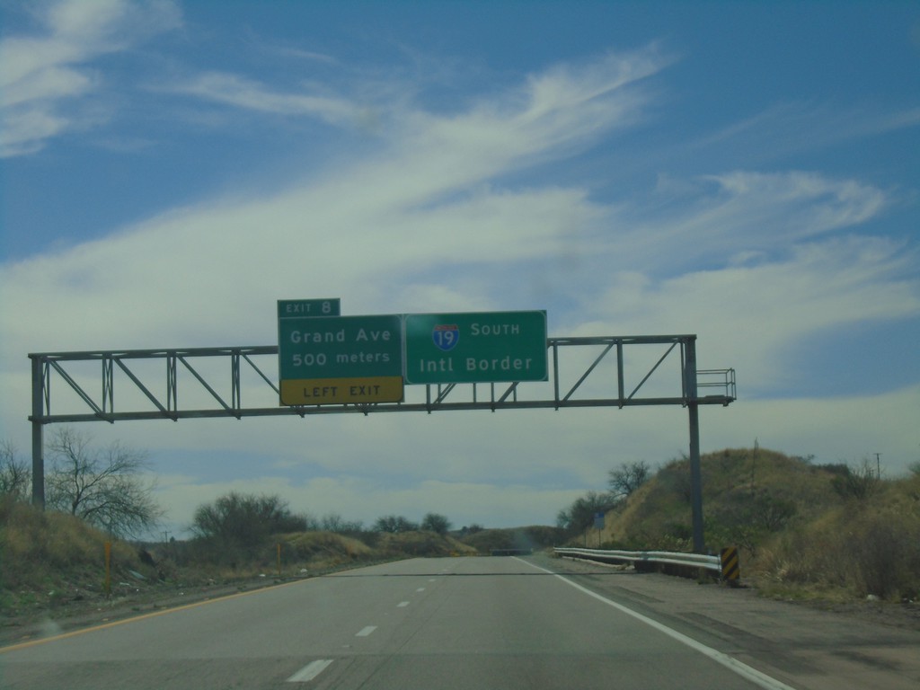
I-19 South - Exit 8
I-19 south approaching Exit 8 - Grand Ave. I-19 continues south towards the International Border with Mexico. Grand Ave. is the Nogales business loop.
Taken 03-23-2019
 Nogales
Santa Cruz County
Arizona
United States
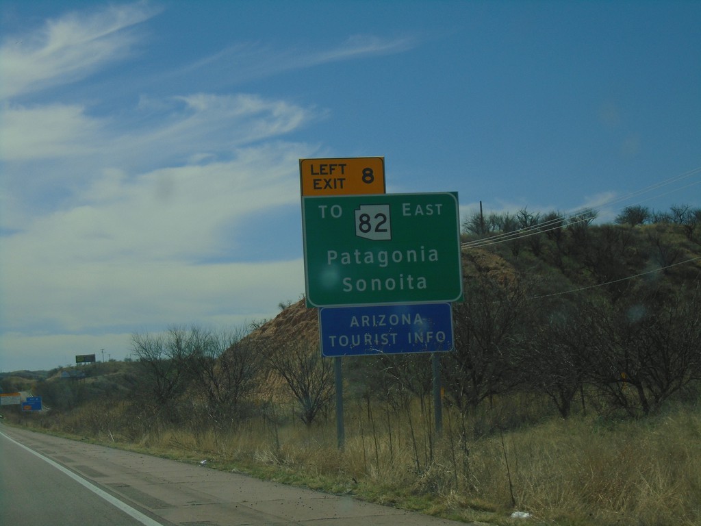
I-19 South - Use Exit 8 For AZ-82
I-19 south approaching Exit 8. Use Exit 8 To AZ-82/East/Patagonia/Sonoita.
Taken 03-23-2019

 Nogales
Santa Cruz County
Arizona
United States
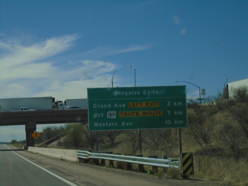
I-19 South - Nogales Exits
Nogales Exits on I-19 south. Distance to Grand Ave., AZ-189, and Western Ave.
Taken 03-23-2019

 Nogales
Santa Cruz County
Arizona
United States
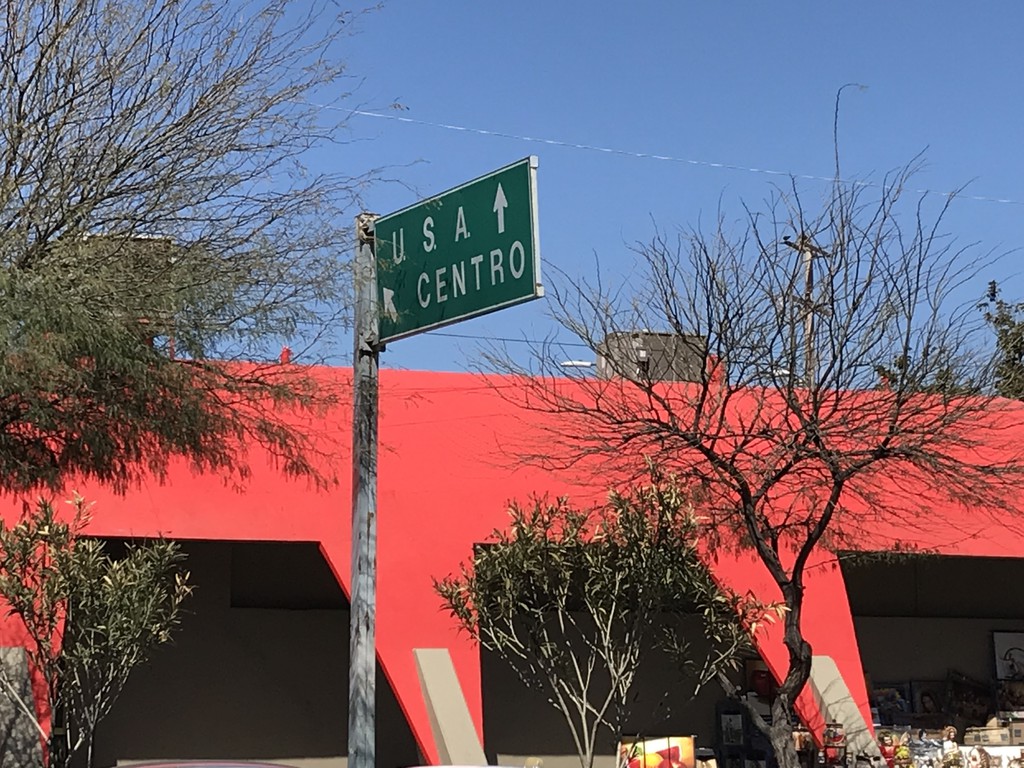
MX-15 North Approaching US Border
MX-15 North approaching US Border in Heroica Nogales. Merge left for (Nogales) Centro. Continue straight for the international border.
Taken 03-23-2019
 Heroica Nogales
Nogales Municipality
Sonora
Mexico
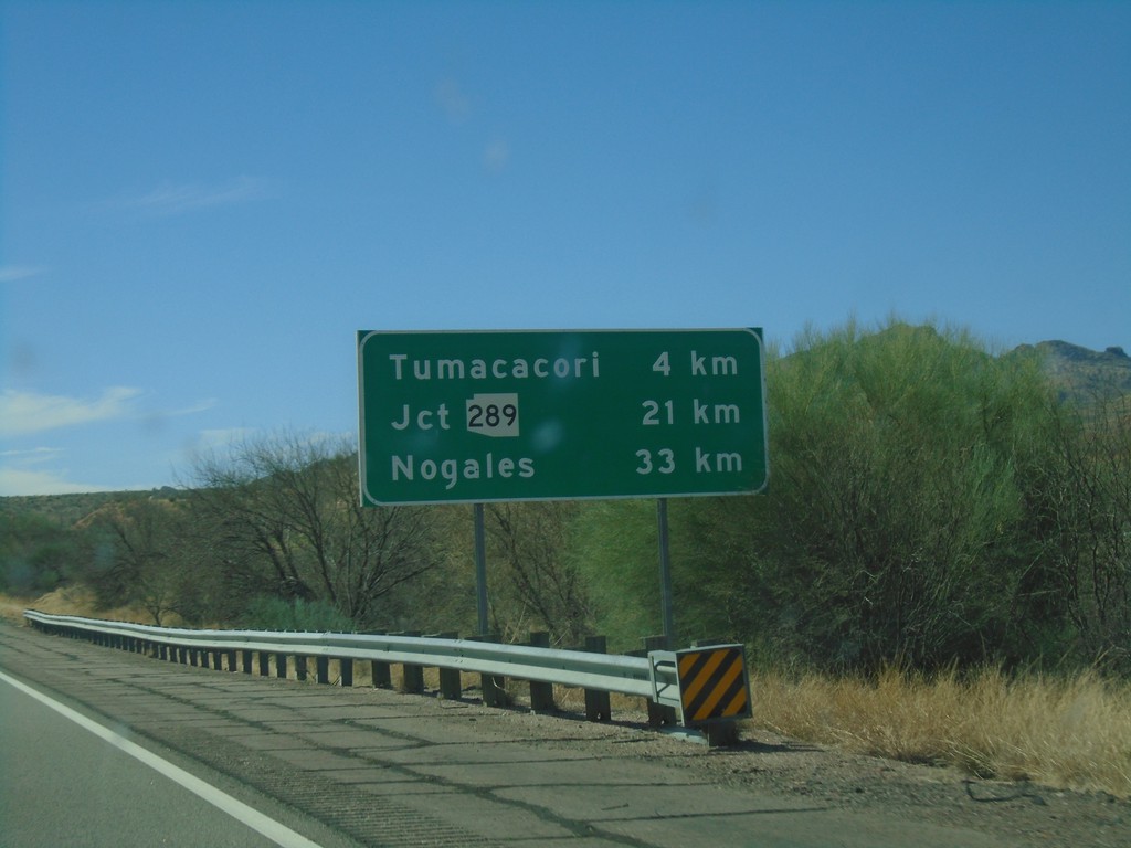
I-19 South - Distance Marker
Distance marker on I-19 south. Distance to Tumacacori, Jct. AZ-289, and Nogales.
Taken 03-23-2019

 Tubac
Santa Cruz County
Arizona
United States
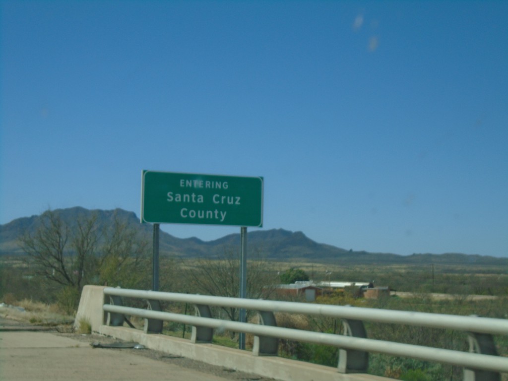
I-19 South - Santa Cruz County
Entering Santa Cruz County on I-19 south.
Taken 03-23-2019
 Amado
Pima County
Arizona
United States
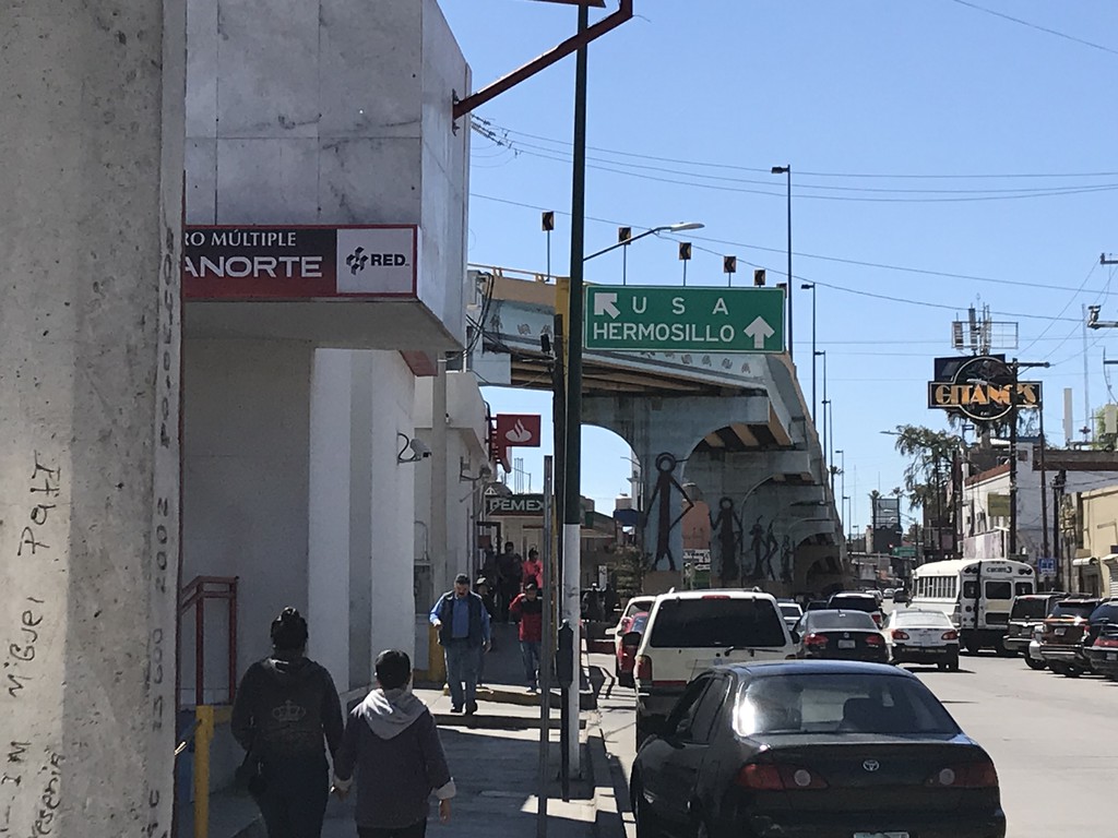
MX-15 South at Turnaround To USA
MX-15 South at turnaround To USA. Continue south on MX-15 for Hermosillo.
Taken 03-23-2019
 Centro
Nogales Municipality
Sonora
Mexico
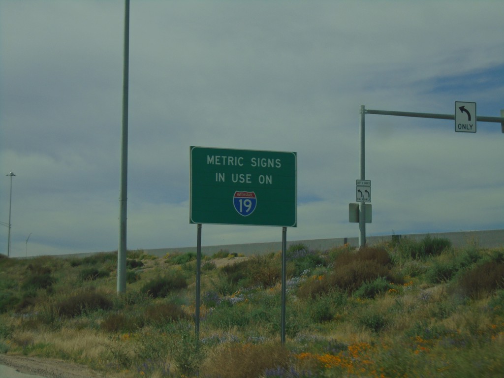
Metric Signs In Use on I-19 South
Metric Signs in Use on I-19 South. All distance markers and interchanges marked in kilometers or meters. Mileposts are signed in kilometers. There are mileposts signed as miles that are parallel to the road (signed 90 degrees to the standard signs).
Taken 03-23-2019
 Tucson
Pima County
Arizona
United States
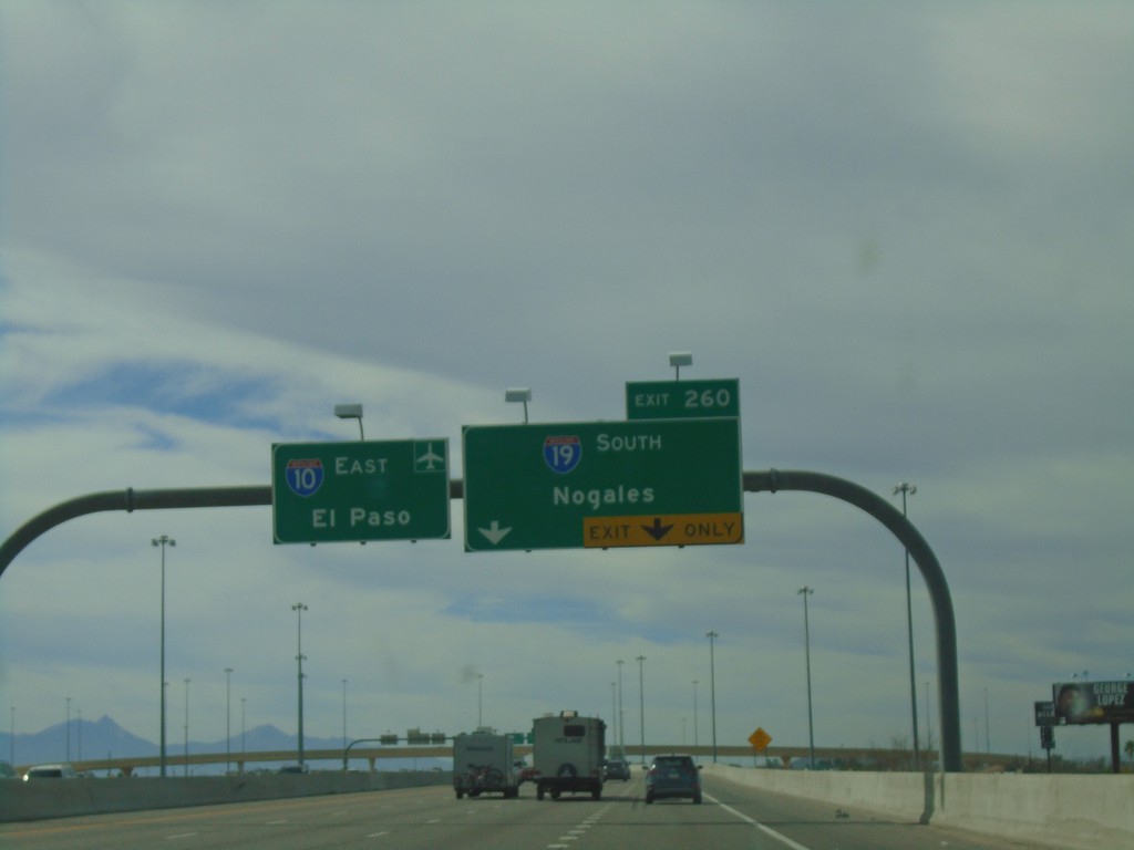
I-10 East Approaching Exit 260
I-10 east approaching Exit 260 - I-19 South/Nogales. I-10 continues east towards the Tucson Airport and El Paso (Texas).
Taken 03-23-2019

 Tucson
Pima County
Arizona
United States
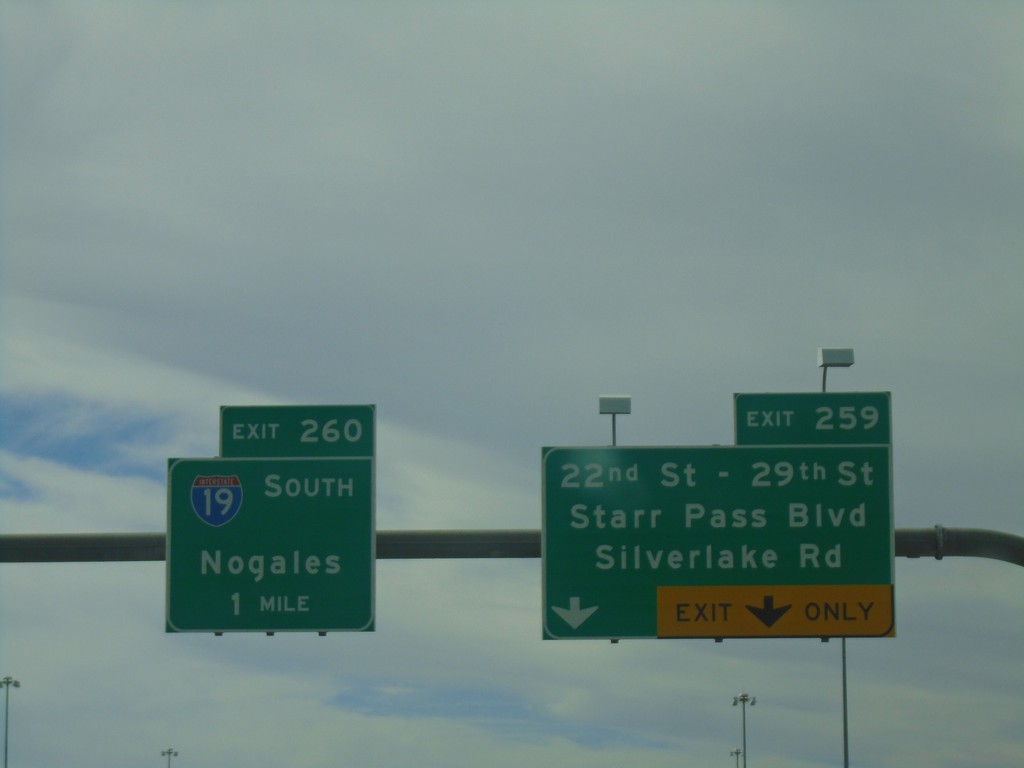
I-10 East - Exits 259 and 260
I-10 east at Exit 259 - 22nd St - 29th St/Starr Pass Blvd/Silverlake Road. Approaching Exit 260 - I-19 South/Nogales.
Taken 03-23-2019

 Tucson
Pima County
Arizona
United States
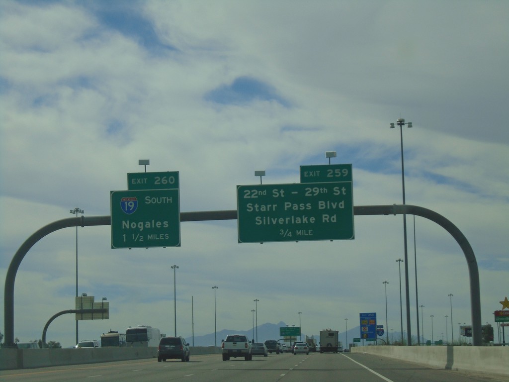
I-10 East Approaching Exits 259 and 260
I-10 east approaching Exit 259 - 22nd St - 29th St./Starr Pass Blvd/Silverlake Road. Approaching Exit 260 - I-19 South/Nogales.
Taken 03-23-2019

 Tucson
Pima County
Arizona
United States
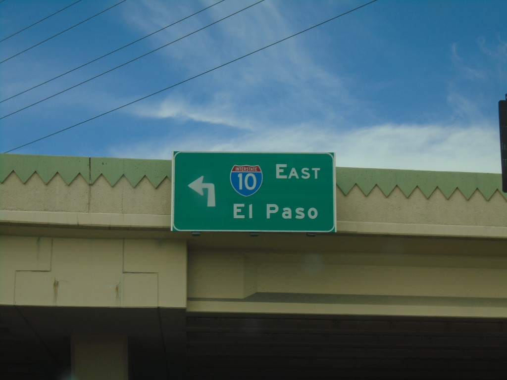
Speedway Blvd. West at I-10
Speedway Blvd. West at I-10 East to El Paso (Texas).
Taken 03-23-2019
 Tucson
Pima County
Arizona
United States
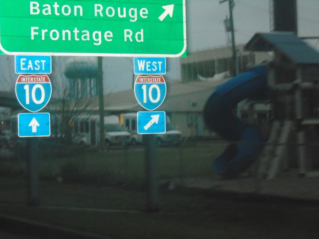
Causeway Blvd. Service Road at I-10
Causeway Blvd. Service Road at I-10 in Metairie. Use I-10 west for Baton Rouge and Frontage Road.
Taken 12-27-2018
 Metairie
Jefferson Parish
Louisiana
United States
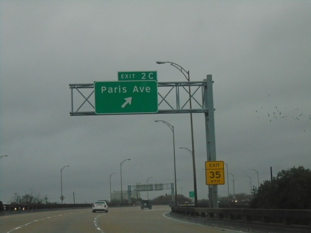
I-610 West - Exit 2C
I-610 west at Exit 2C - Paris Ave.
Taken 12-27-2018
 New Orleans
Orleans Parish
Louisiana
United States
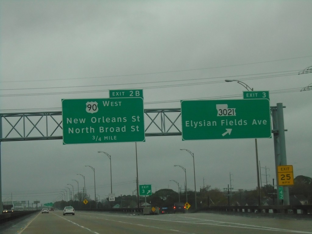
I-610 West - Exits 3 and 2B
I-610 west at Exit 3 - LA-3021/Elysian Fields Ave. Approaching Exit 2B - US-90 West/New Orleans St./North Broad St.
Taken 12-27-2018


 New Orleans
Orleans Parish
Louisiana
United States
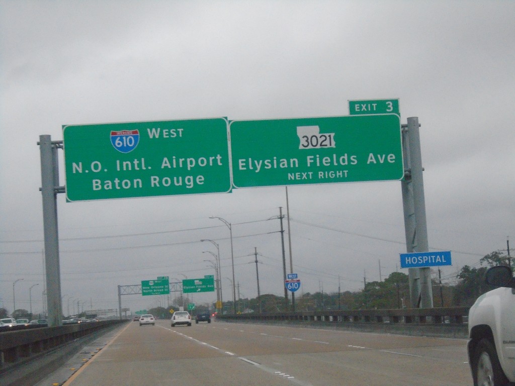
I-610 West - Exit 3
I-610 west approaching Exit 3 - LA-3021/Elysian Fields Ave. Continue west on I-610 for New Orleans International Airport and Baton Rouge.
Taken 12-27-2018

 New Orleans
Orleans Parish
Louisiana
United States
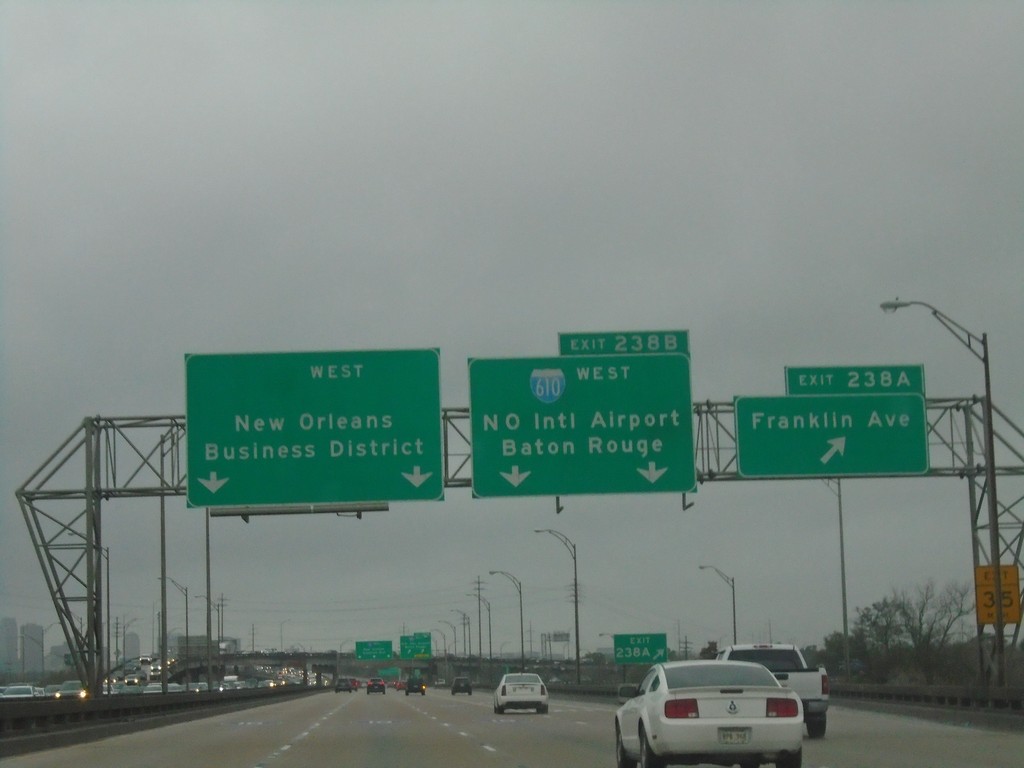
I-10 West - Exits 238A and 238B
I-10 west at Exit 238B - Franklin Ave. Approaching Exit 238A - I-610 West/New Orleans International Airport/Baton Rouge. Continue west on I-10 for New Orleans Business District.
Taken 12-27-2018

 New Orleans
Orleans Parish
Louisiana
United States
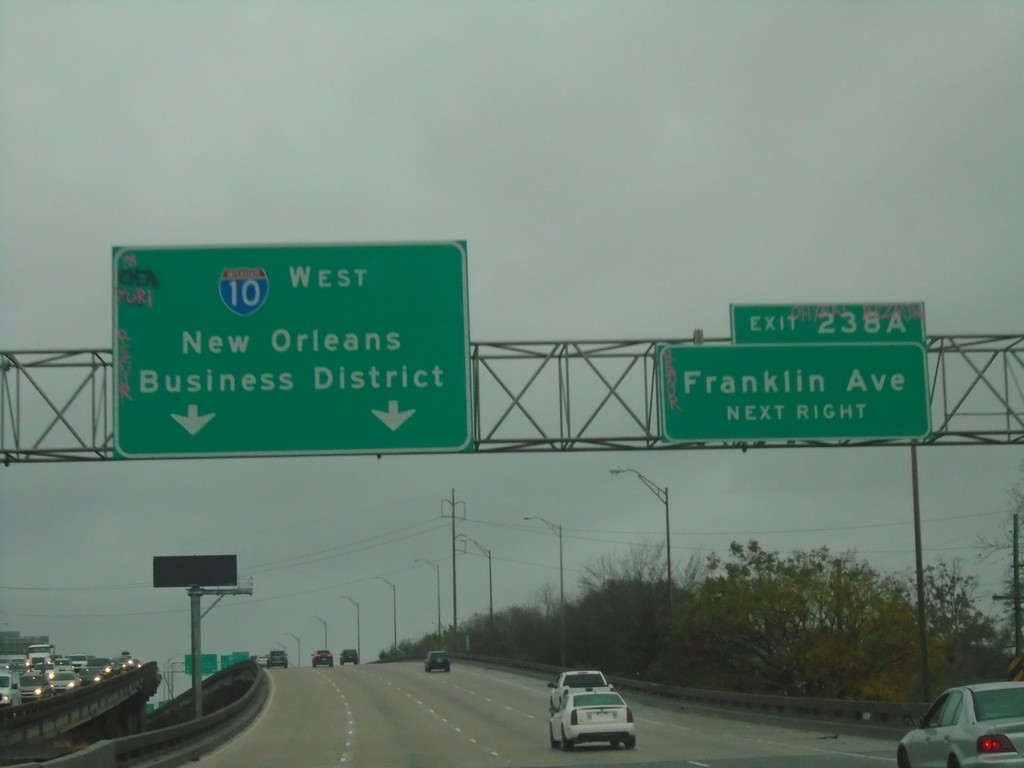
I-10 West - Exit 238A
I-10 west approaching Exit 238A - Franklin Ave. Continue west on I-10 to New Orleans Business District.
Taken 12-27-2018
 New Orleans
Orleans Parish
Louisiana
United States
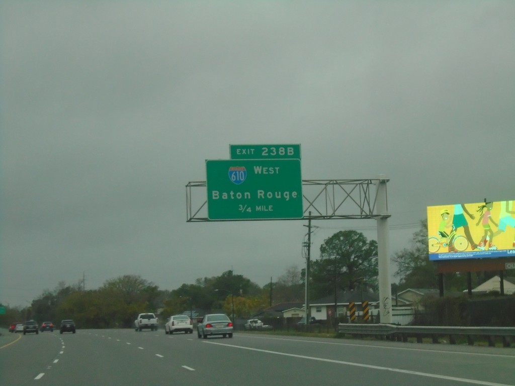
I-10 West - Exit 238B
I-10 West approaching Exit 238B - I-610 West/Baton Rouge.
Taken 12-27-2018

 New Orleans
Orleans Parish
Louisiana
United States
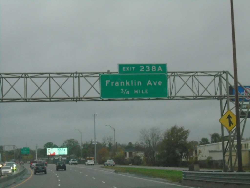
I-10 West - Exit 238A
I-10 west approaching Exit 238 - Franklin Ave.
Taken 12-27-2018
 New Orleans
Orleans Parish
Louisiana
United States
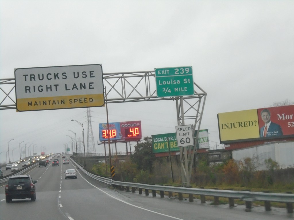
I-10 West - Exit 239
I-10 west approaching Exit 239 - Louisa Ave. Trucks Use Right Lane - Maintain Speed. Speed Limit 60.
Taken 12-27-2018
 New Orleans
Orleans Parish
Louisiana
United States
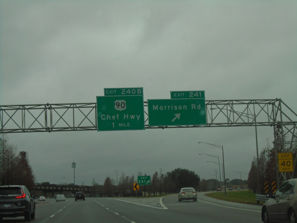
I-10 West - Exits 241 and 240B
I-10 west at Exit 241 - Morrison Road. Approaching Exit 240B - US-90/Chef Hwy.
Taken 12-27-2018

 New Orleans
Orleans Parish
Louisiana
United States
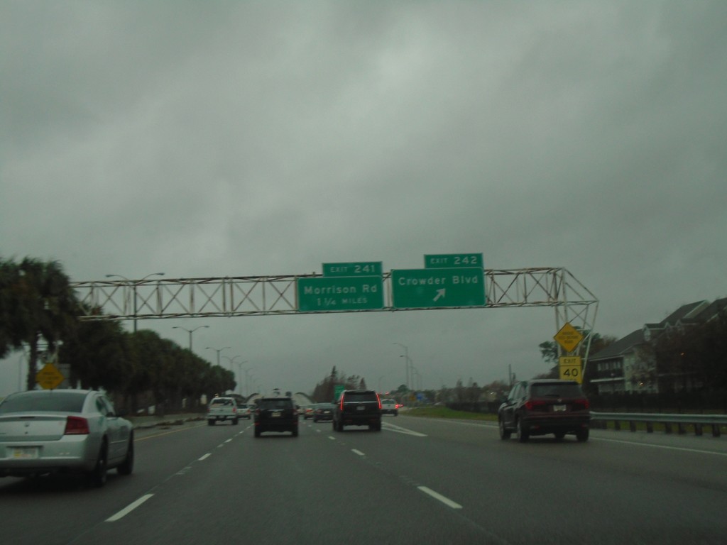
I-10 West - Exits 242 and 241
I-10 west at Exit 242 - Crowder Blvd. Approaching Exit 241 - Morrison Road.
Taken 12-27-2018
 New Orleans
Orleans Parish
Louisiana
United States