Signs Tagged With Big Green Sign
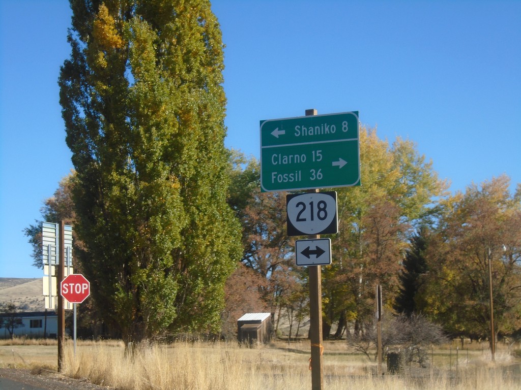
End OR-293 East at OR-218
End OR-293 East at OR-218 in Antelope. Use OR-218 west to Shaniko; OR-218 east to Clarno and Fossil.
Taken 10-14-2018

 Antelope
Wasco County
Oregon
United States
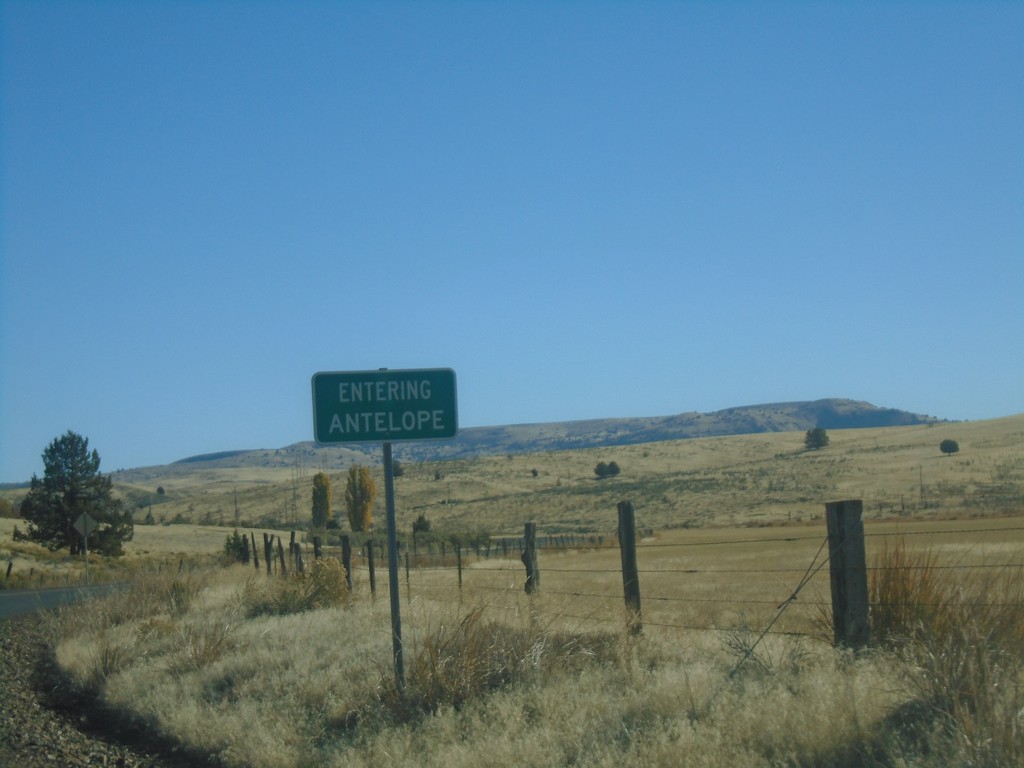
OR-293 East - Antelope
Entering Antelope on OR-293 East.
Taken 10-14-2018
 Antelope
Wasco County
Oregon
United States
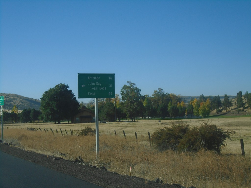
US-97 South at OR-293
US-97 south at OR-293. Use OR-293 east to Antelope, John Day Fossil Beds, and Fossil.
Taken 10-14-2018

 Madras
Jefferson County
Oregon
United States
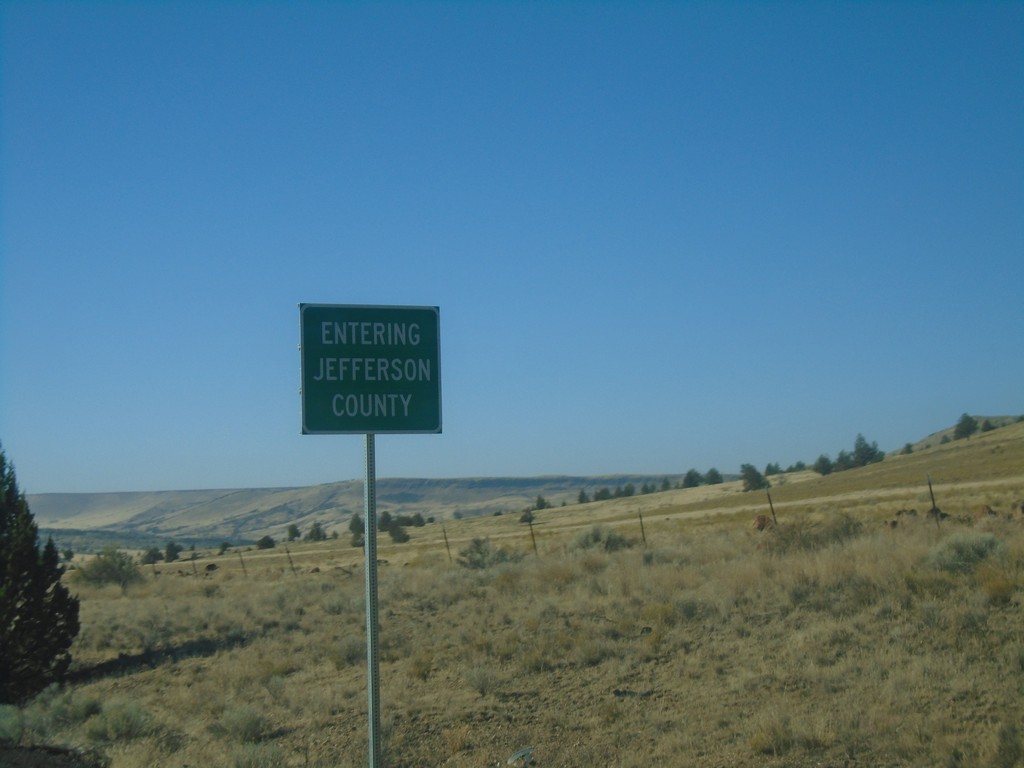
US-97 South - Jefferson County
Entering Jefferson County on US-97 South.
Taken 10-14-2018
 Madras
Jefferson County
Oregon
United States
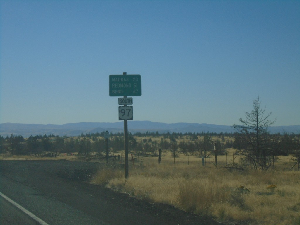
US-97 South - Distance Marker
Distance marker on US-97 south. Distance to Madras, Redmond, and Bend.
Taken 10-14-2018
 Maupin
Wasco County
Oregon
United States
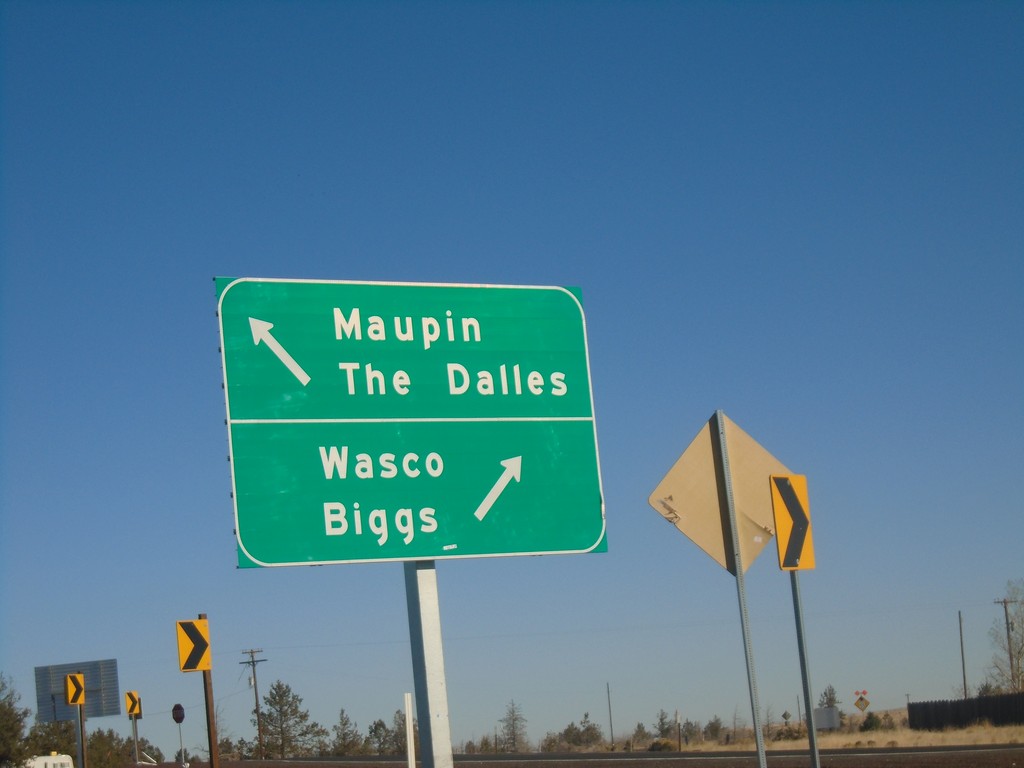
US-97 North at US-197 - Wasco County
US-97 North at US-197 in Wasco County. Use US-197 north for Maupin and The Dalles; US-97 North for Wasco and Biggs.
Taken 10-14-2018

 Maupin
Wasco County
Oregon
United States
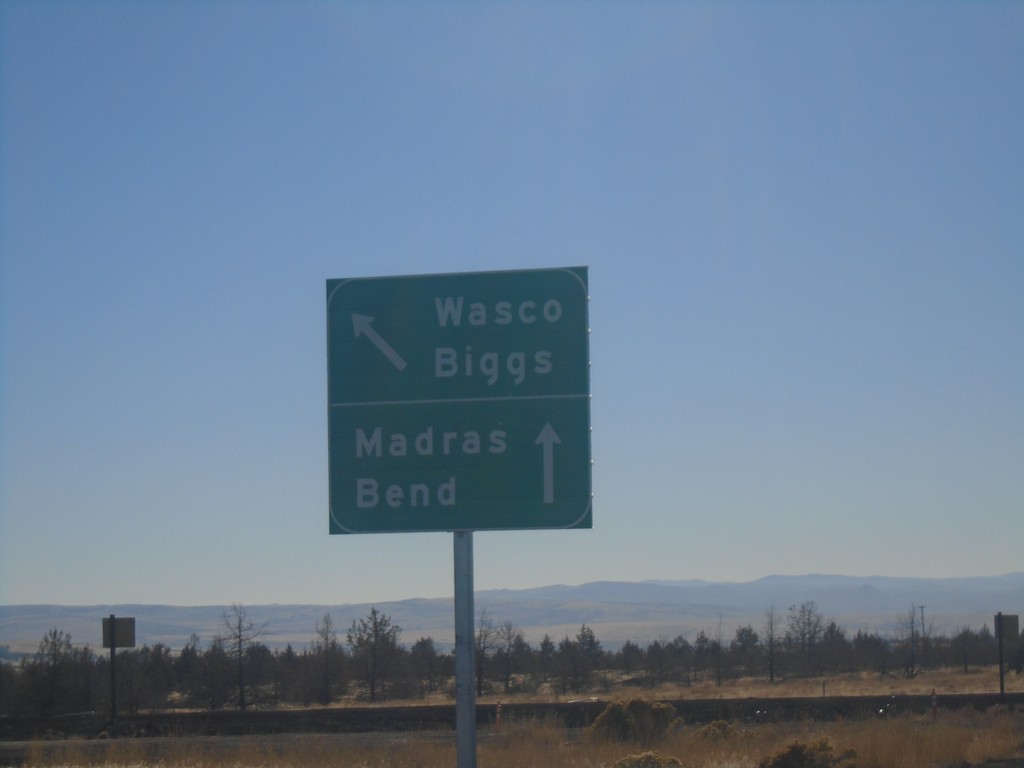
End US-197 South Approaching US-97
End US-197 South approaching US-97. Use US-97 south for Madras and Bend; US-97 north for Biggs and Wasco.
Taken 10-14-2018

 Maupin
Wasco County
Oregon
United States
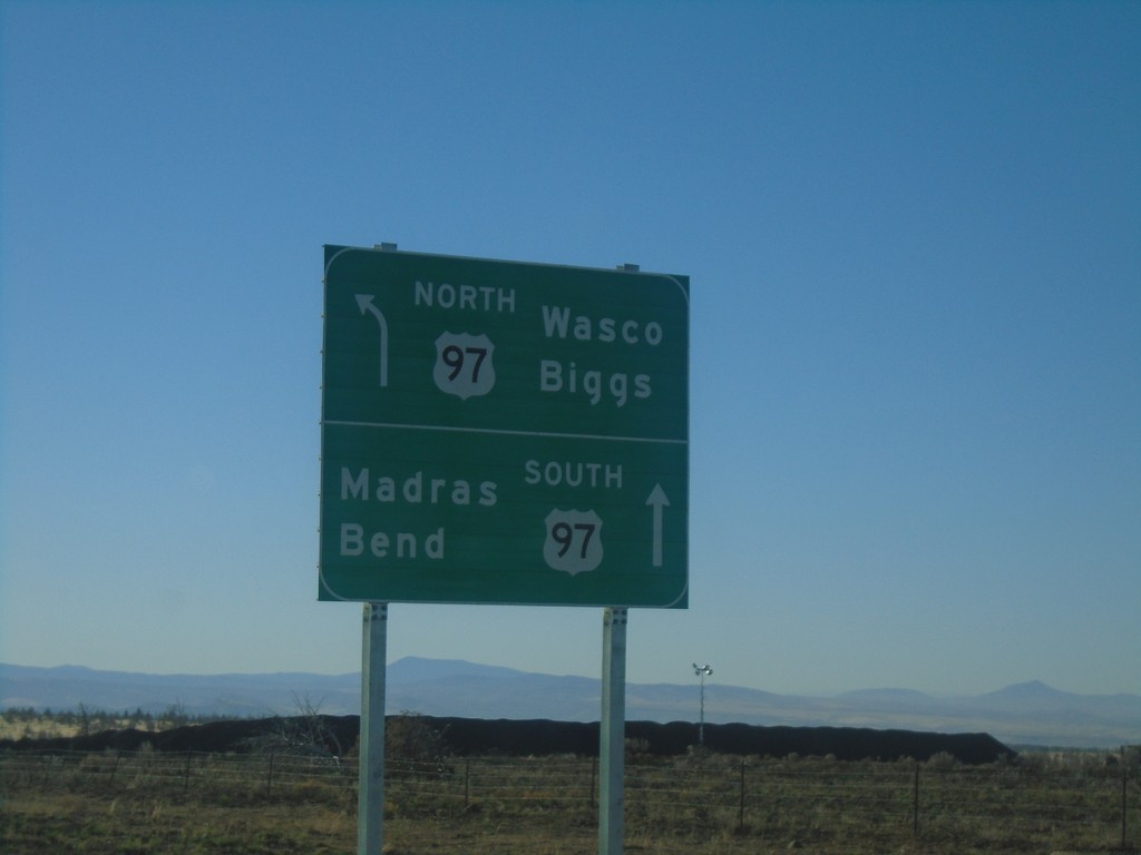
US-197 South Approaching US-197
US-197 South approaching US-197. Use US-97 north for Wasco and Biggs; US-97 south for Madras and Bend.
Taken 10-14-2018

 Maupin
Wasco County
Oregon
United States
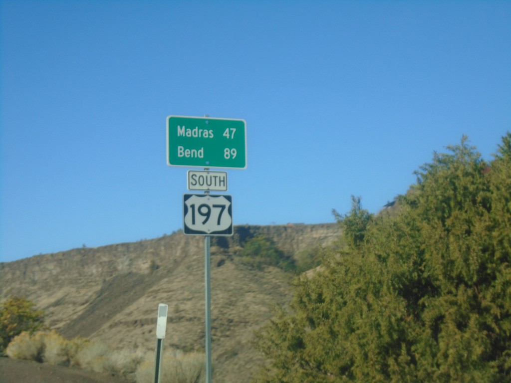
US-197 South - Distance Marker
Distance marker on US-197 south. Distance to Madras and Bend.
Taken 10-14-2018
 Maupin
Wasco County
Oregon
United States
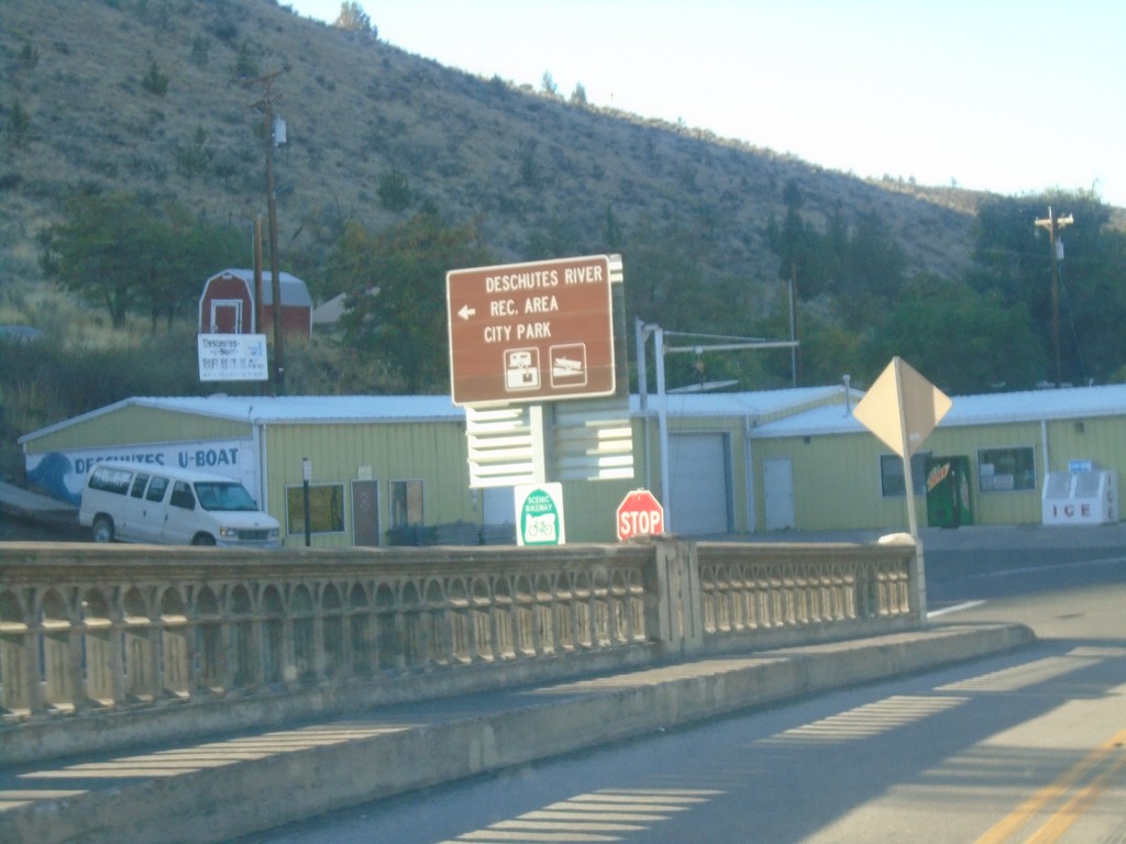
US-197 South - Deschutes River Recreation Area
US-197 South at Deschutes River Recreation Area/City Park (Bakeoven Road) junction.
Taken 10-14-2018
 Maupin
Wasco County
Oregon
United States
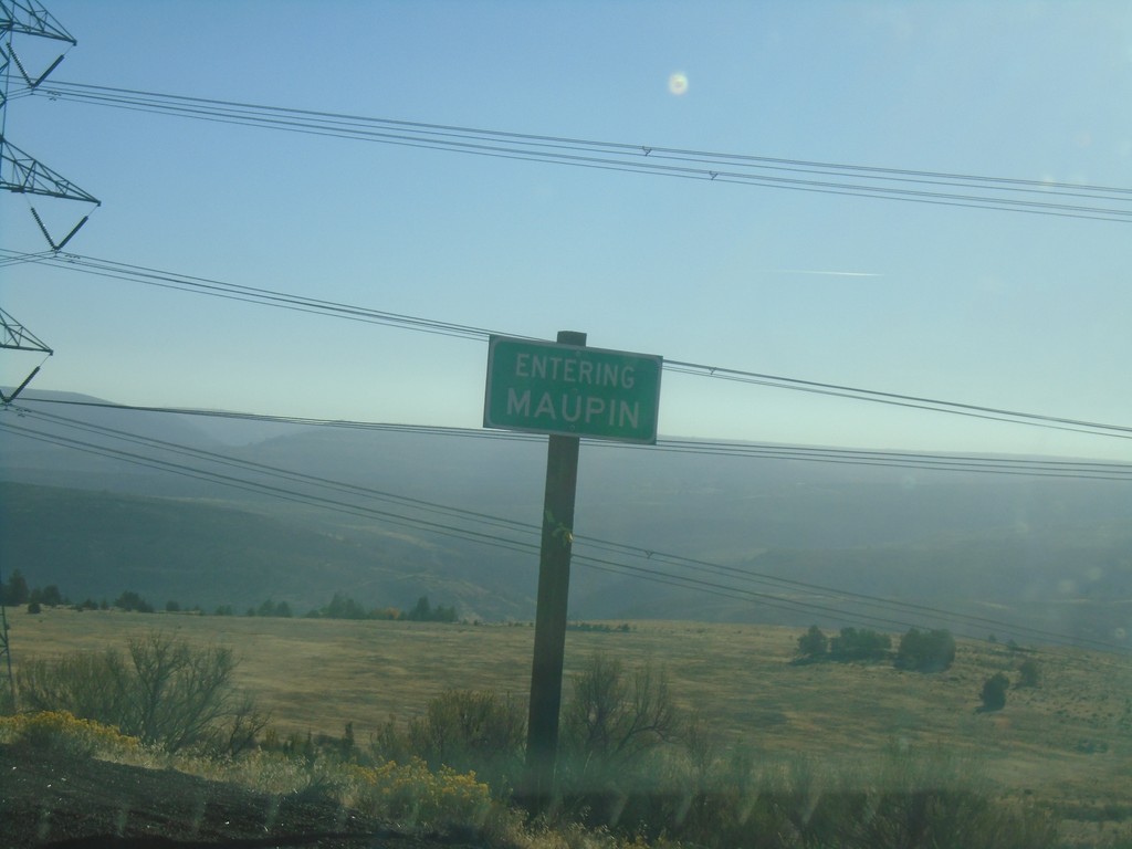
US-197 South - Maupin
Entering Maupin on US-197 South.
Taken 10-14-2018
 Maupin
Wasco County
Oregon
United States
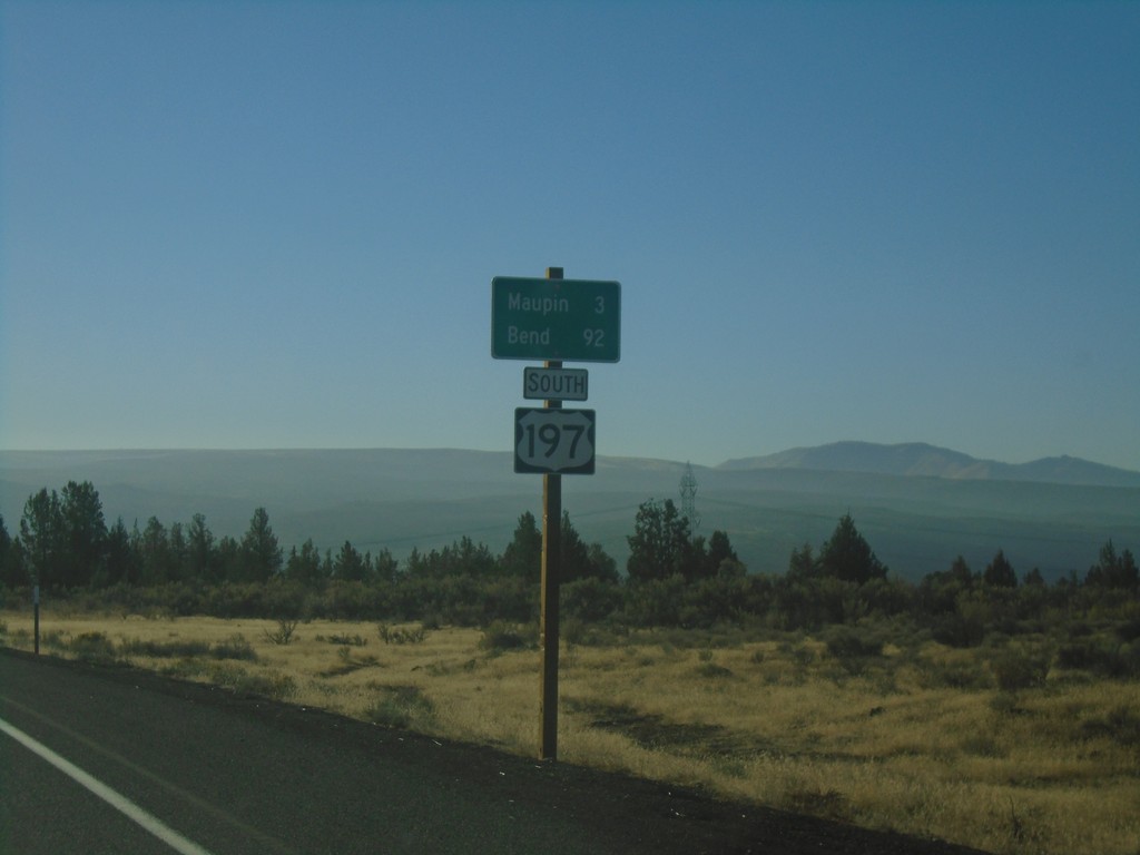
US-197 South - Distance Marker
Distance marker on US-197 south. Distance to Maupin and Bend.
Taken 10-14-2018
 Maupin
Wasco County
Oregon
United States
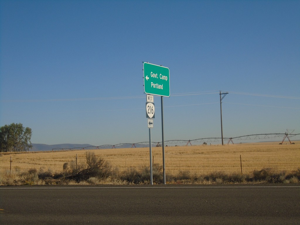
US-197 North at OR-216 West
US-197 North at OR-216 West to Government Camp and Portland. OR-216 East joins US-197 North to Tygh Valley.
Taken 10-14-2018

 Maupin
Wasco County
Oregon
United States
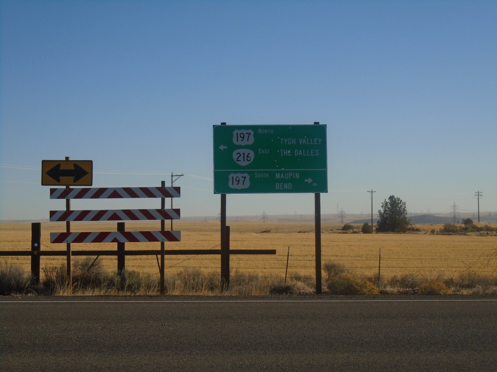
OR-216 East at US-197
OR-216 East at US-197 in Wasco County. Turn right for US-197 South to Maupin and Bend. OR-216 East joins US-197 north to Tygh Valley. Turn left for US-197 North/OR-216 East to Tygh Valley and The Dalles.
Taken 10-14-2018

 Maupin
Wasco County
Oregon
United States
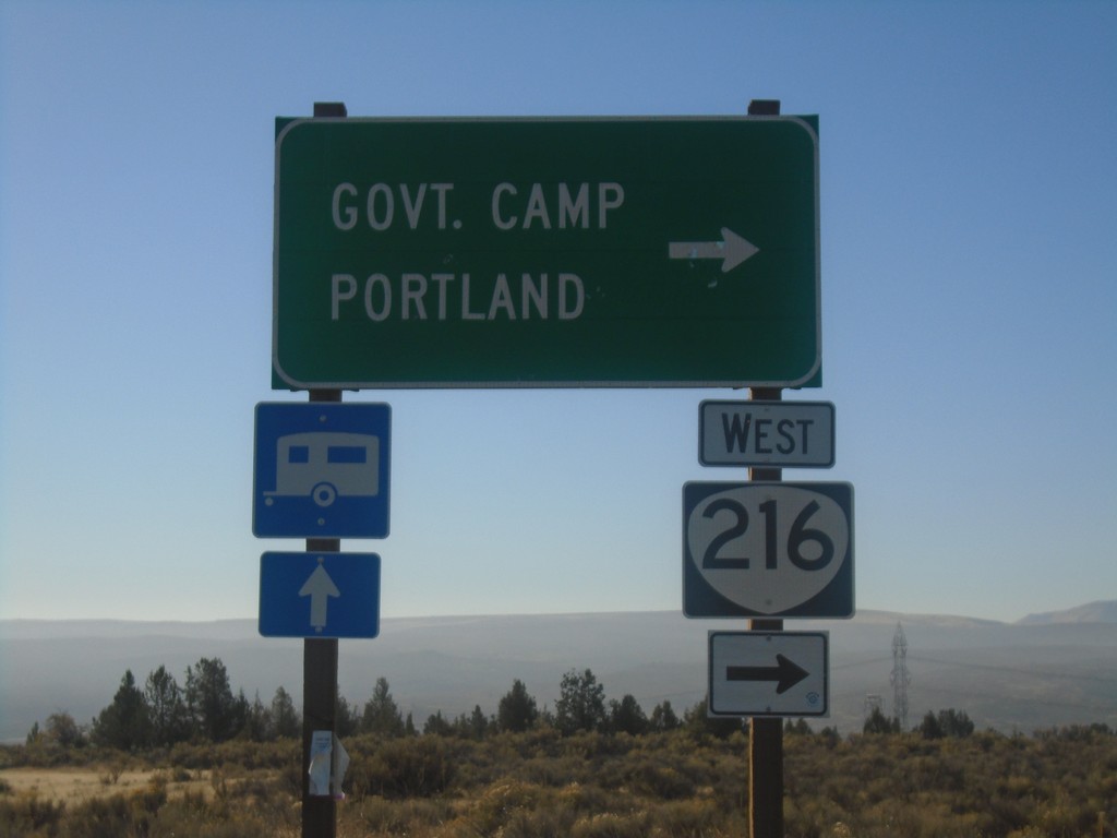
US-197 South/OR-216 West at US-197/OR-216 Split
US-197 South/OR-216 West at US-197/OR-216 Split. Turn right for OR-216 West to Government Camp and Portland.
Taken 10-14-2018

 Maupin
Wasco County
Oregon
United States
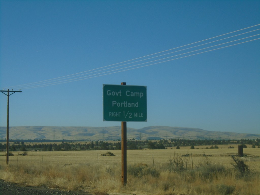
US-197 South/OR-216 West Approaching US-197/OR-216 Split
US-197 South/OR-216 West approaching US-197/OR-216 Split. Turn right for OR-216 West to Government Camp and Portland.
Taken 10-14-2018

 Maupin
Wasco County
Oregon
United States
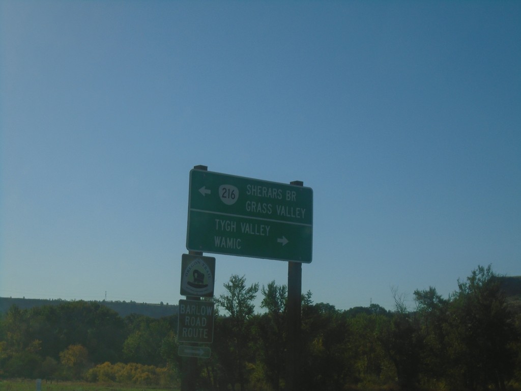
US-197 South at OR-216 East
US-197 South at OR-216 East to Sherars Bridge and Grass Valley. Turn right for Tygh Valley and Wamic. OR-216 west joins US-197 southbound.
Taken 10-14-2018

 Tygh Valley
Wasco County
Oregon
United States
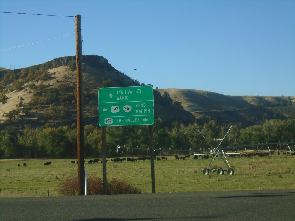
OR-216 West at US-197
OR-216 West at US-197 in Wasco County. Use US-197 north for The Dalles; turn left for US-197 South/OR-216 West for Bend and Maupin; continue straight for Tygh Valley and Wamic. OR-216 west joins US-197 southbound.
Taken 10-14-2018

 Tygh Valley
Wasco County
Oregon
United States
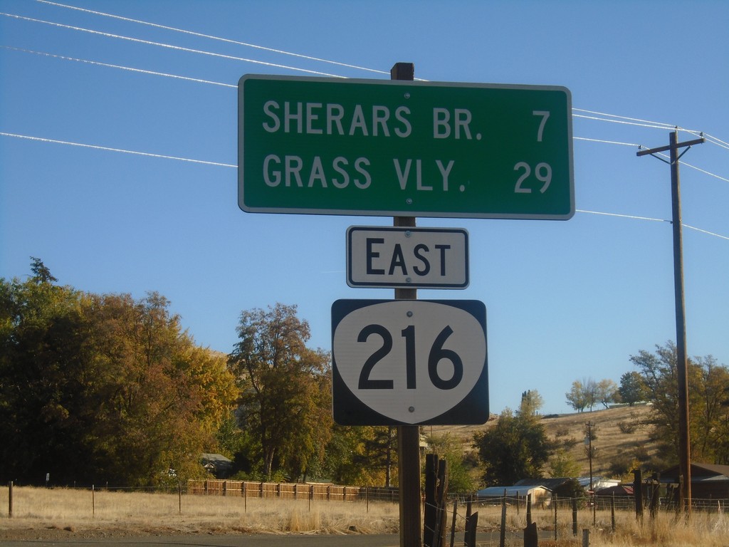
OR-216 East - Distance Marker
Distance marker on OR-216 east. Distance to Sherars Bridge and Grass Valley.
Taken 10-14-2018
 Tygh Valley
Wasco County
Oregon
United States
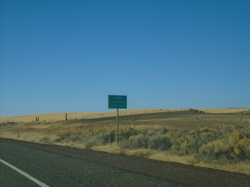
US-197 South - Tygh Ridge Summit
US-197 South at Tygh Ridge Summit - Elevation 2665 Ft.
Taken 10-14-2018
 Dufur
Wasco County
Oregon
United States
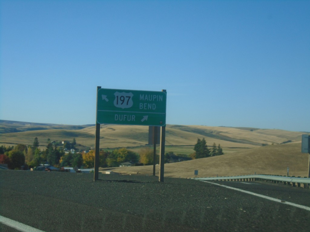
US-197 South at Dufur Jct.
US-197 South at Dufur Jct. Continue south on US-197 for Maupin and Bend.
Taken 10-14-2018
 Dufur
Wasco County
Oregon
United States
US-197 South - Dufur Jct.
US-197 South - north entrance to Dufur Jct.
Taken 10-14-2018
 Dufur
Wasco County
Oregon
United States
US-197 South - Eight Mile Creek
Eight Mile Creek on US-197 South.
Taken 10-14-2018
 Boyd
Wasco County
Oregon
United States
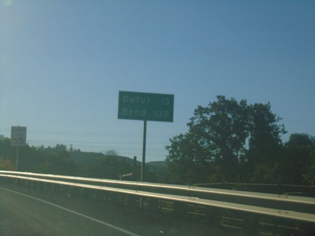
US-197 South - Distance Marker
Distance marker on US-197 south. Distance to Dufur and Bend.
Taken 10-14-2018
 The Dalles
Wasco County
Oregon
United States
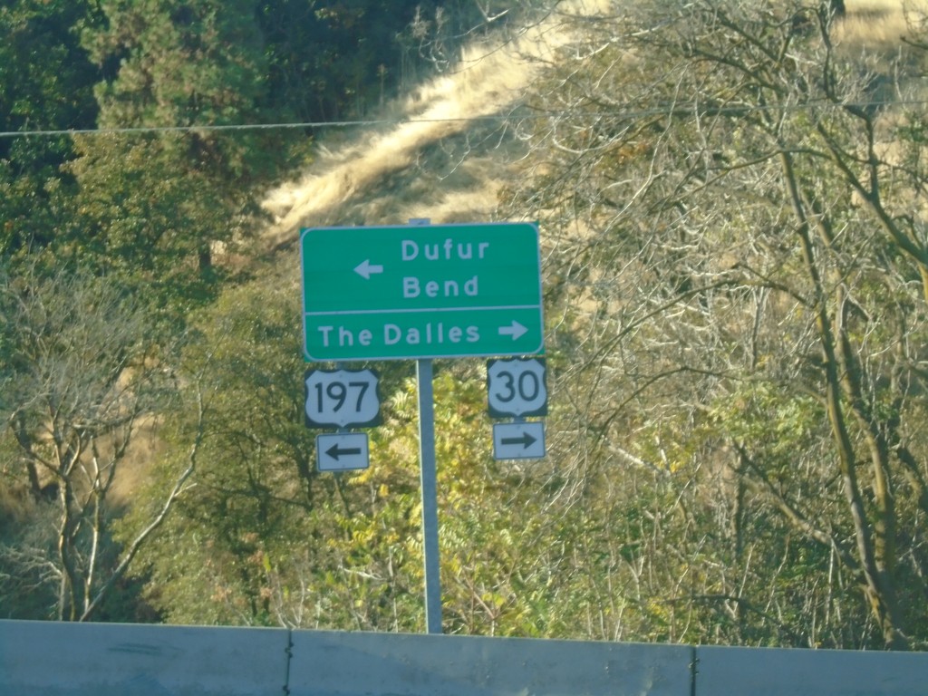
US-197 South/US-30 West at Split
US-197 South/US-30 West at US-197/US-30 split. Turn right for US-30 west to The Dalles. Turn left for US-197 south to Dufur and Bend.
Taken 10-14-2018

 The Dalles
Wasco County
Oregon
United States