Signs Tagged With Big Green Sign
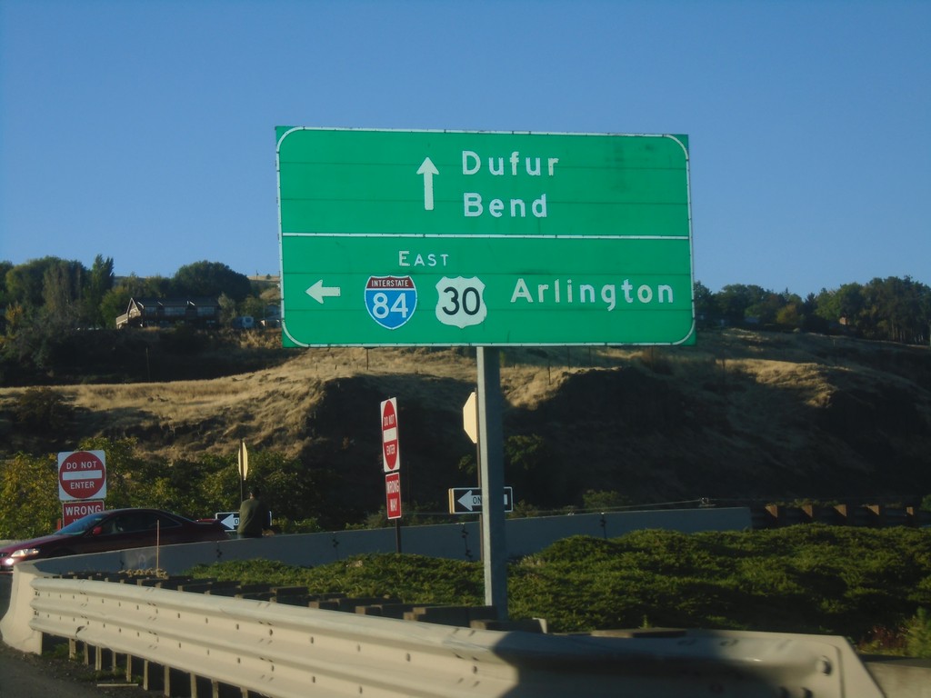
US-197 South/US-30 West at I-84 East
US-197 South/US-30 West at I-84/US-30 East to Arlington. Continue on US-197 South/US-30 West for Dufur and Bend.
Taken 10-14-2018


 The Dalles
Wasco County
Oregon
United States
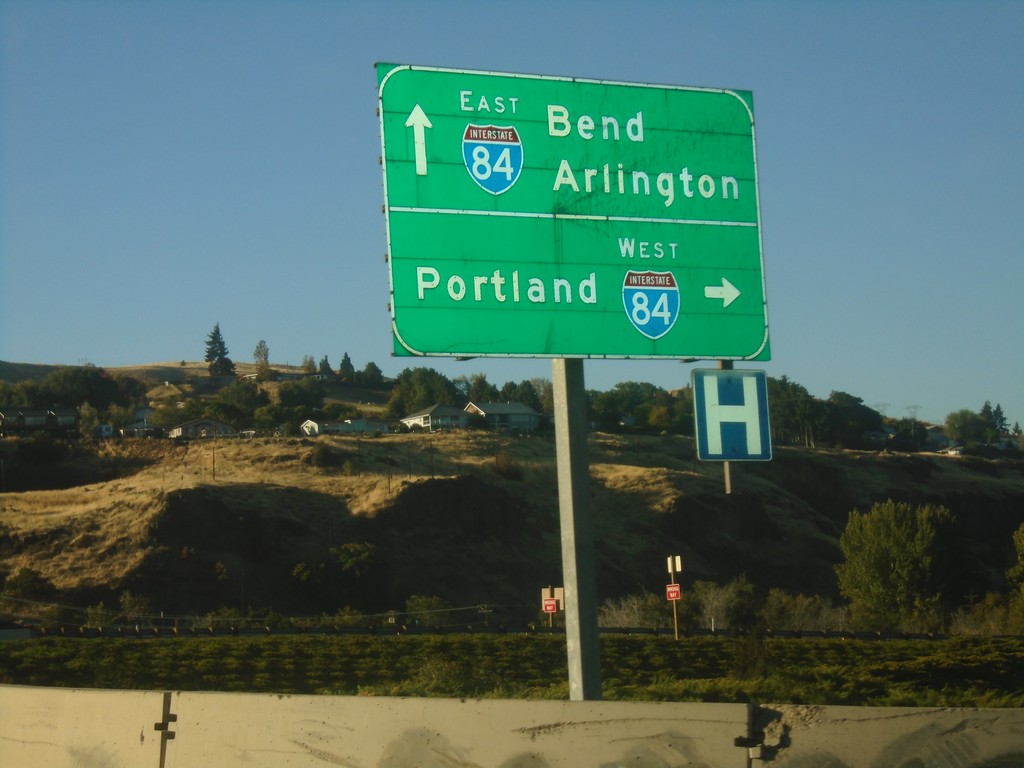
US-197 South at I-84
US-197 south at I-84 West. Use I-84 west to Portland. Continue over freeway for I-84 east to Arlington. Continue south on US-197 for Bend.
Taken 10-14-2018

 The Dalles
Wasco County
Oregon
United States
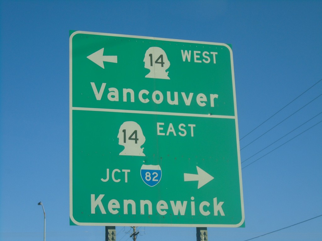
End US-197 North at WA-14
End US-197 North at WA-14. Use WA-14 west for Vancouver; WA-14 east for Kennewick.
Taken 10-14-2018

 Lyle
Klickitat County
Washington
United States
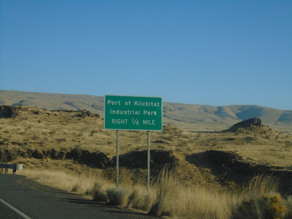
US-197 North - Port of Klickitat
US-197 north approaching Port of Klickitat/Industrial Park junction.
Taken 10-14-2018
 Dallesport
Klickitat County
Washington
United States
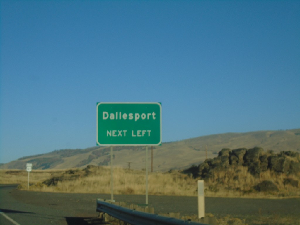
US-197 North - Dallesport
US-197 north approaching Dallesport.
Taken 10-14-2018
 Dallesport
Klickitat County
Washington
United States
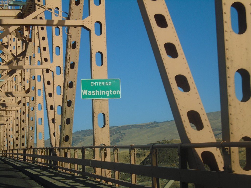
US-197 North - Entering Washington
Entering Washington on US-197 North. Taken on a bridge over the Columbia River.
Taken 10-14-2018
 Dallesport
Klickitat County
Washington
United States
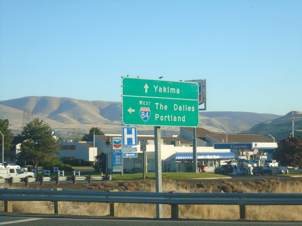
US-197 North at I-84 East
US-197 North at I-84 East to The Dalles and Portland. Continue north on US-197 for Yakima (Washington).
Taken 10-14-2018

 The Dalles
Wasco County
Oregon
United States
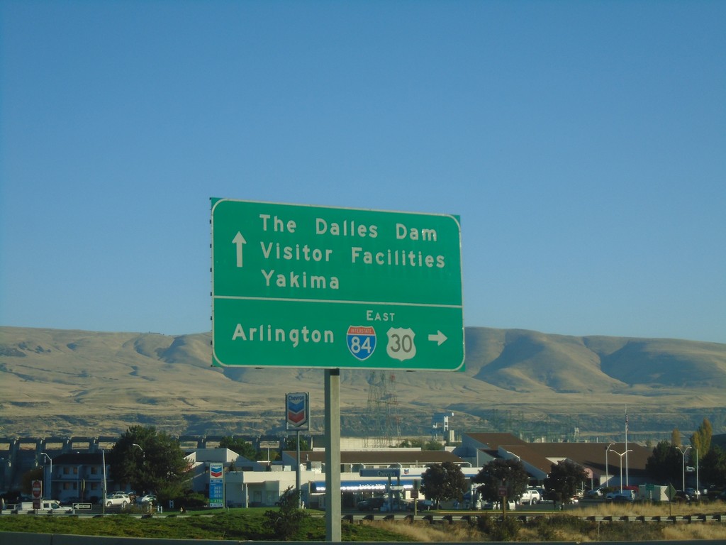
US-197 North/US-30 East at I-84 East
US-197 North/US-30 East at I-84 East to Arlington. Continue north on US-197 for The Dalles Dam Visitor Facilities and Yakima (Washington). US-30 east joins I-84 eastbound to Pendleton.
Taken 10-14-2018


 The Dalles
Wasco County
Oregon
United States
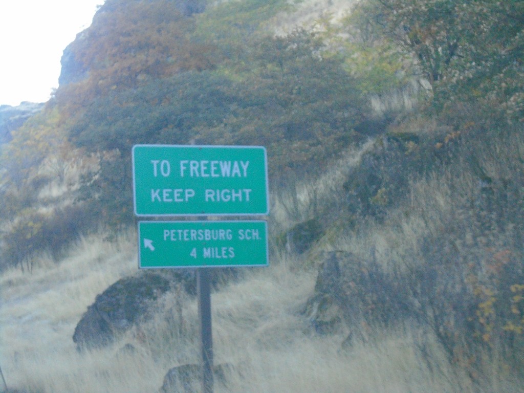
US-30 East - SE Frontage Road
US-30 East at SE Frontage Road. Turn left for the Petersburg School. Merge right for (I-84) Freeway.
Taken 10-14-2018
 The Dalles
Wasco County
Oregon
United States
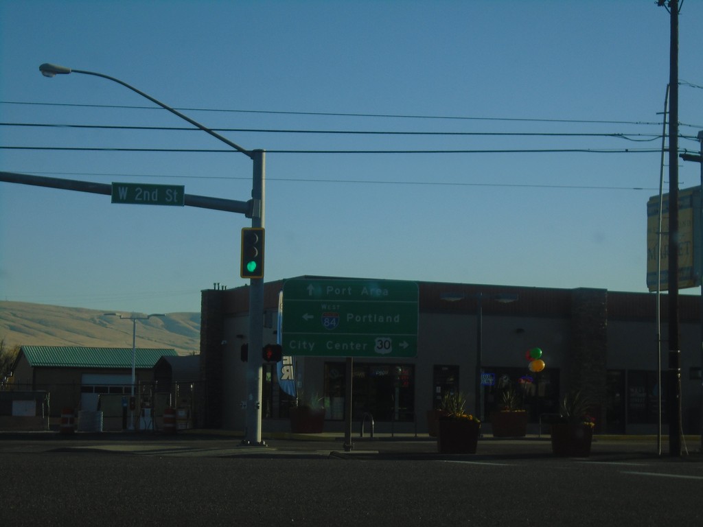
US-30 East - Webber St. at W 2nd St.
US-30 East - Webber St. at W 2nd St. Turn left for I-84 West to Portland; right for US-30 East to (The Dalles) City Center. Continue on Webber St. for Port Areas.
Taken 10-14-2018

 The Dalles
Wasco County
Oregon
United States
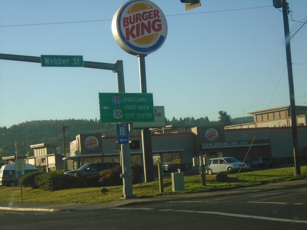
US-30 East at Webber St.
US-30 East (W 6th St.) at Webber St. in The Dalles. Turn left on Webber St. to continue east on US-30 for (The Dalles) City Center and Port Area. Also turn left for I-84 West to Portland.
Taken 10-14-2018

 The Dalles
Wasco County
Oregon
United States
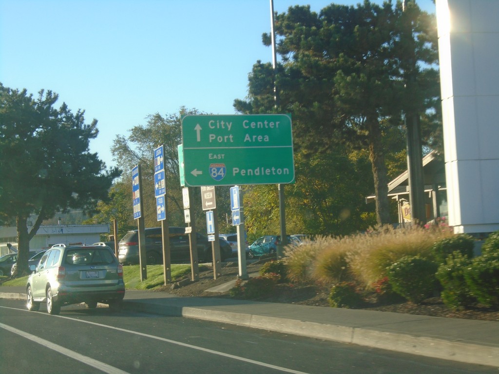
US-30 East at I-84 East
US-30 East at I-84 East to Pendleton. Continue east on US-30 for Port Areas and City Center (The Dalles).
Taken 10-14-2018

 The Dalles
Wasco County
Oregon
United States
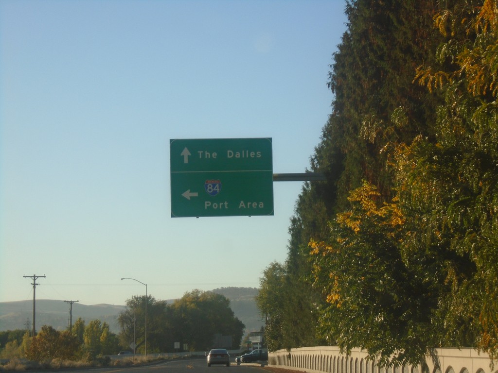
US-30 East - Port Areas
US-30 east at River Road to I-84 (Exit 82) and Port Areas. Continue east on US-30 for The Dalles.
Taken 10-14-2018

 The Dalles
Wasco County
Oregon
United States
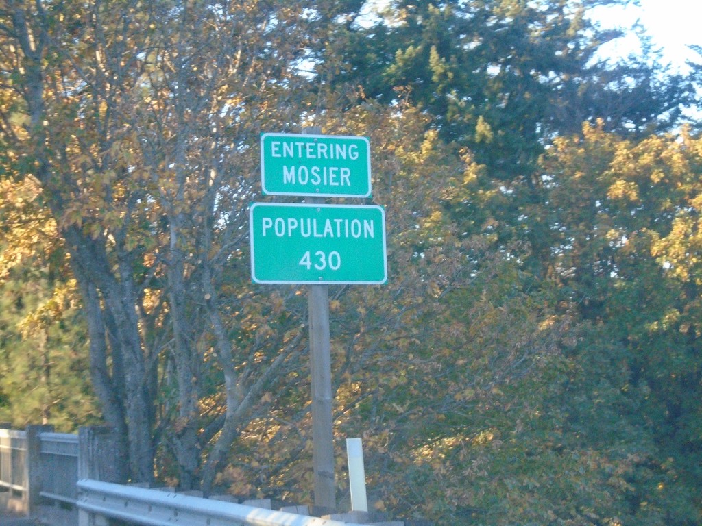
US-30 East - Mosier
Entering Mosier - Population 430 on US-30 East.
Taken 10-14-2018
 Mosier
Wasco County
Oregon
United States
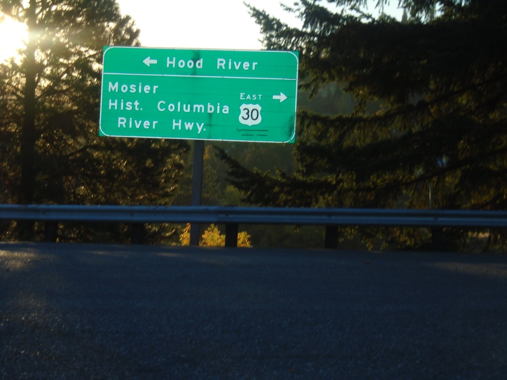
I-84 Exit 69 Offramp at US-30
I-84 Exit 69 Offramp at US-30. Turn left to return to I-84 Westbound to Hood River; turn right for US-30/Moiser/Historic Columbia River Highway.
Taken 10-14-2018

 Mosier
Wasco County
Oregon
United States
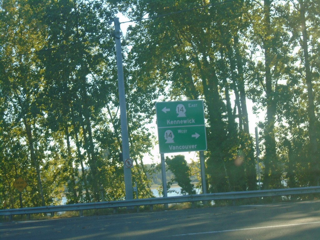
End Washougal River Road at WA-14
End Washougal River Road at WA-14. Use WA-14 west for Vancouver; WA-14 east for Kennewick.
Taken 10-13-2018
 Washougal
Clark County
Washington
United States
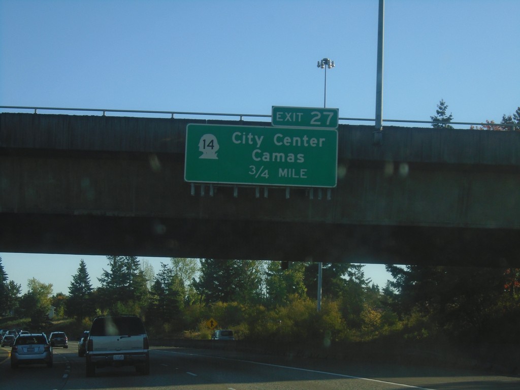
I-205 South - Exit 27
I-205 south approaching Exit 27 - WA-14/Camas/(Vancouver)City Center. WA-14 is the last exit on I-205 southbound in Washington.
Taken 10-13-2018

 Vancouver
Clark County
Washington
United States
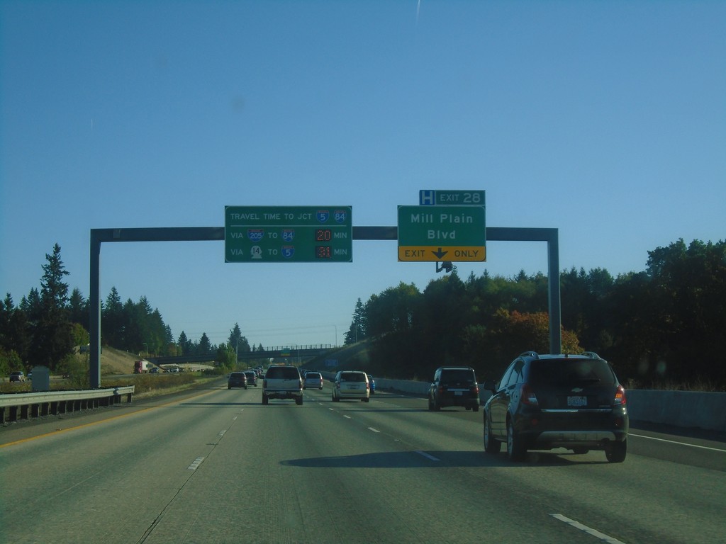
I-205 South - Exit 28
I-205 South approaching Exit 28 - Mill Plain Blvd. Travel times to I-84/I-5 Junction (Downtown Portland, Oregon). On this Saturday afternoon it was 20 minutes to I-84/I-5 via I-205 and I-84; 31 minutes via WA-14 and I-5.
Taken 10-13-2018


 Vancouver
Clark County
Washington
United States
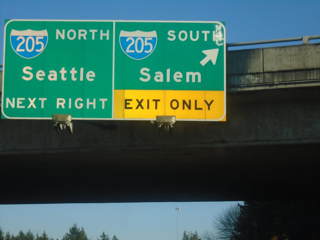
WA-500 East at I-205 - Vancouver
WA-500 East at I-205 in Vancouver. Use I-205 South for Salem (Oregon); I-205 North for Seattle.
Taken 10-13-2018

 Vancouver
Clark County
Washington
United States
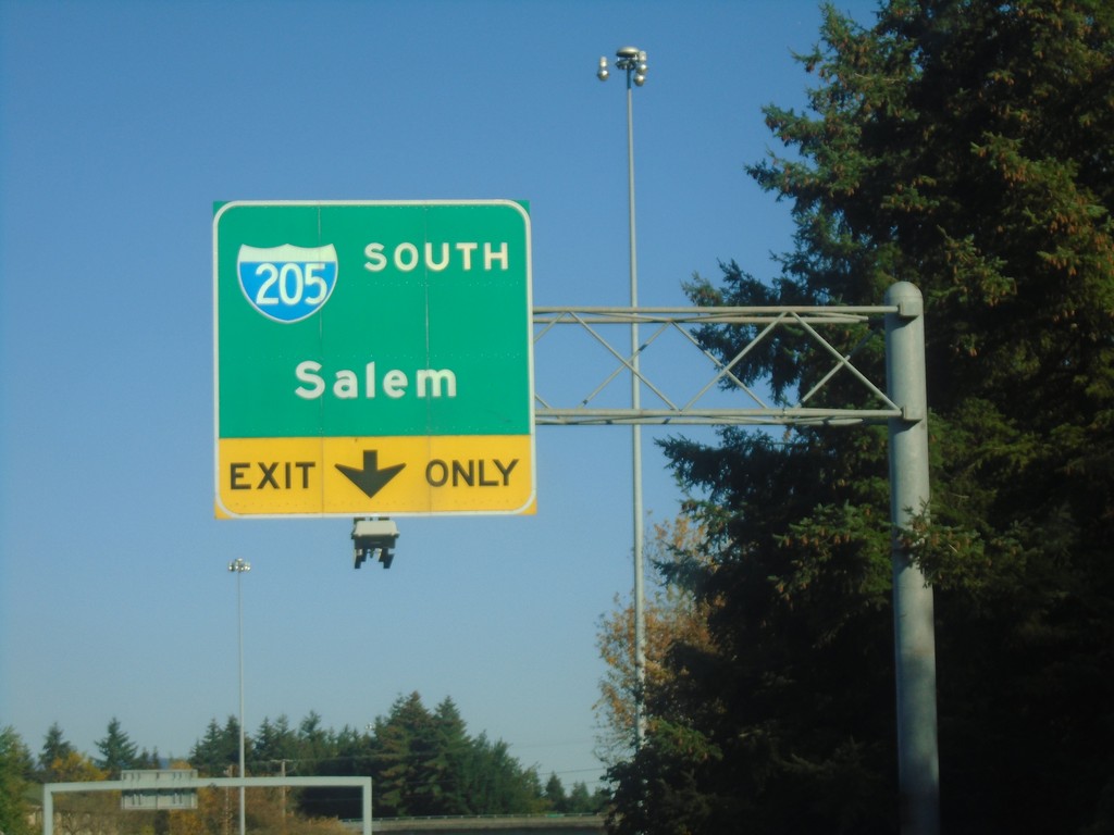
WA-500 East Approaching I-205 South
WA-500 East approaching I-205 South in Vancouver. Use I-205 South for Salem (Oregon).
Taken 10-13-2018

 Vancouver
Clark County
Washington
United States
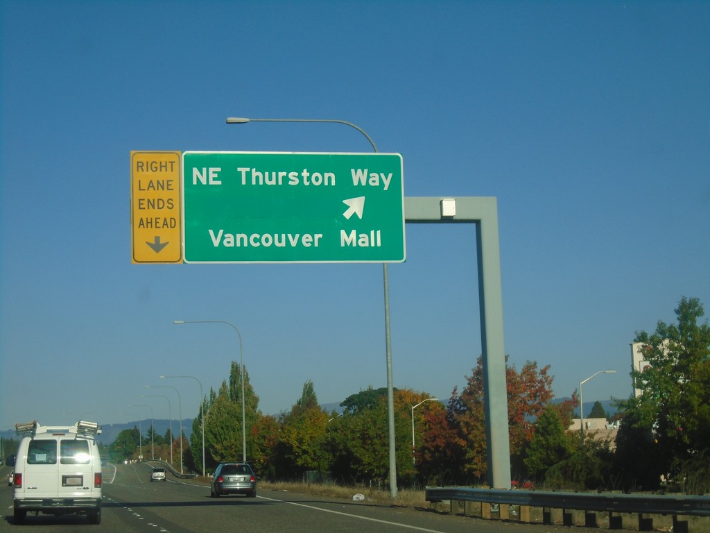
WA-500 East - NE Thurston Way Interchange
WA-500 East at NE Thurston Way/Vancouver Mall interchange,
Taken 10-13-2018
 Vancouver
Clark County
Washington
United States
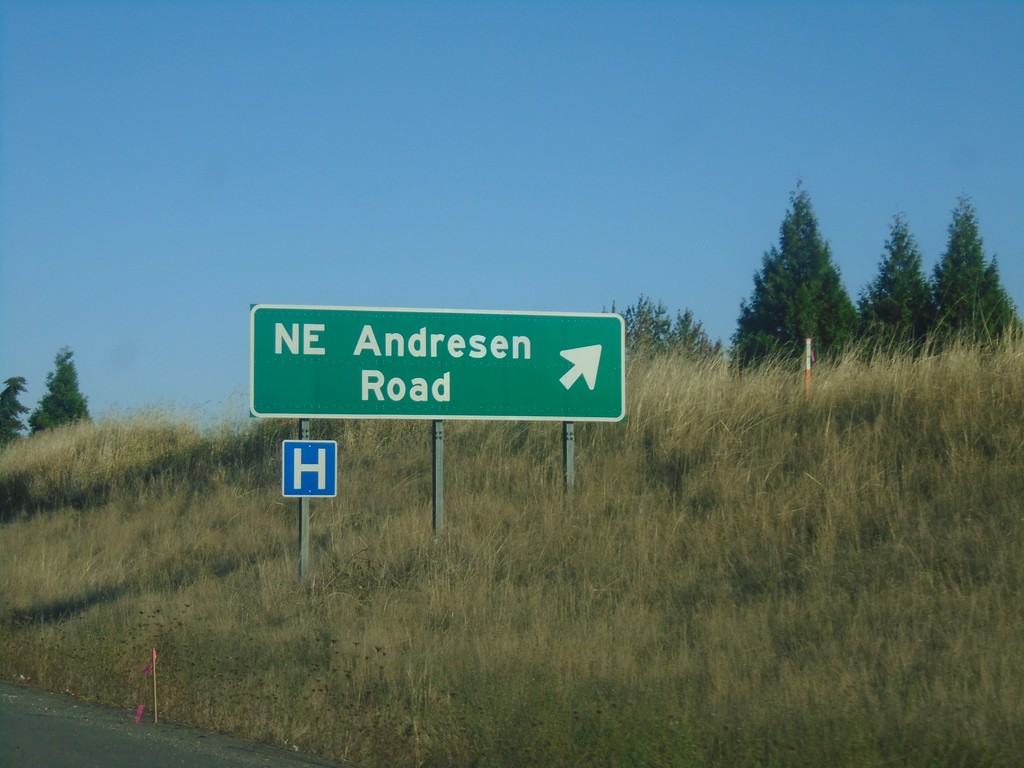
WA-500 East - NE Andresen Road
WA-500 East - NE Andresen Road interchange.
Taken 10-13-2018
 Vancouver
Clark County
Washington
United States
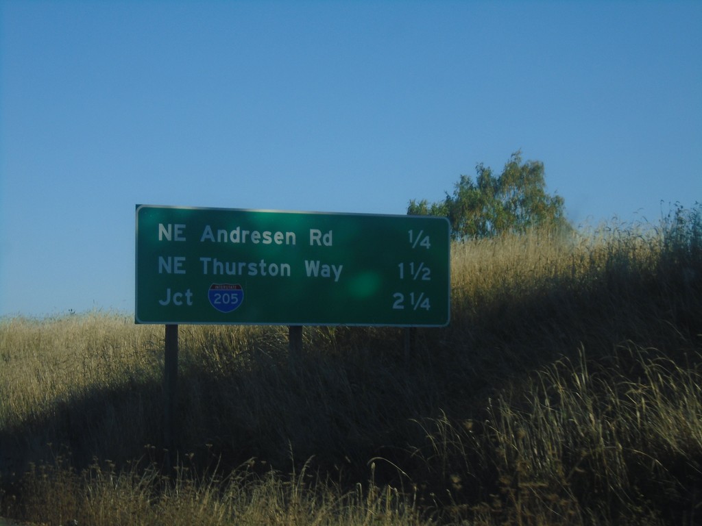
WA-500 East - Distance Marker
Distance marker on WA-500 East. Distance to NE Andresen Road, NE Thurston Way, and I-205.
Taken 10-13-2018

 Vancouver
Clark County
Washington
United States
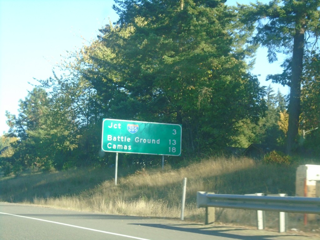
WA-500 East - Distance Marker
Distance marker on WA-500 east. Distance to I-205, Battle Ground, and Camas.
Taken 10-13-2018

 Vancouver
Clark County
Washington
United States
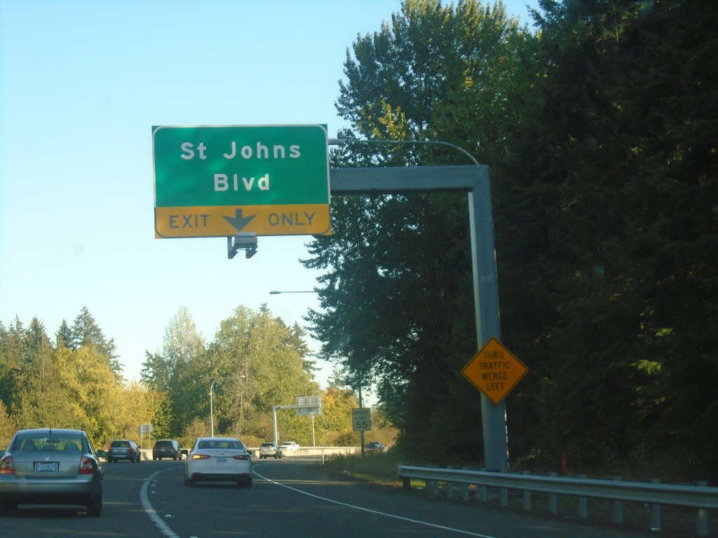
WA-500 East - St. Johns Blvd.
WA-500 east approaching St. Johns Blvd. exit.
Taken 10-13-2018
 Vancouver
Clark County
Washington
United States