Signs Tagged With Big Green Sign
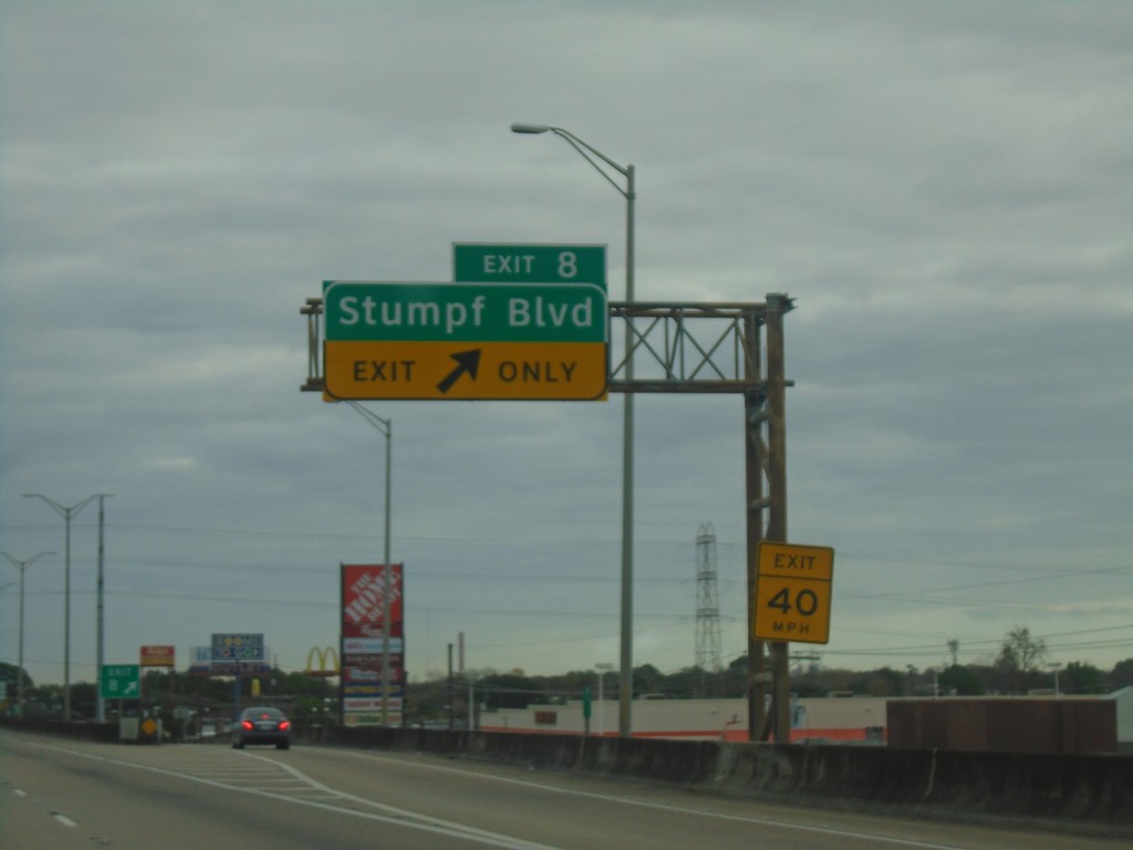
Bus. US-90 East - Exit 8
Bus. US-90 East at Exit 8 - Stumpf Blvd.
Taken 12-23-2018
 Gretna
Jefferson Parish
Louisiana
United States
Gretna
Jefferson Parish
Louisiana
United States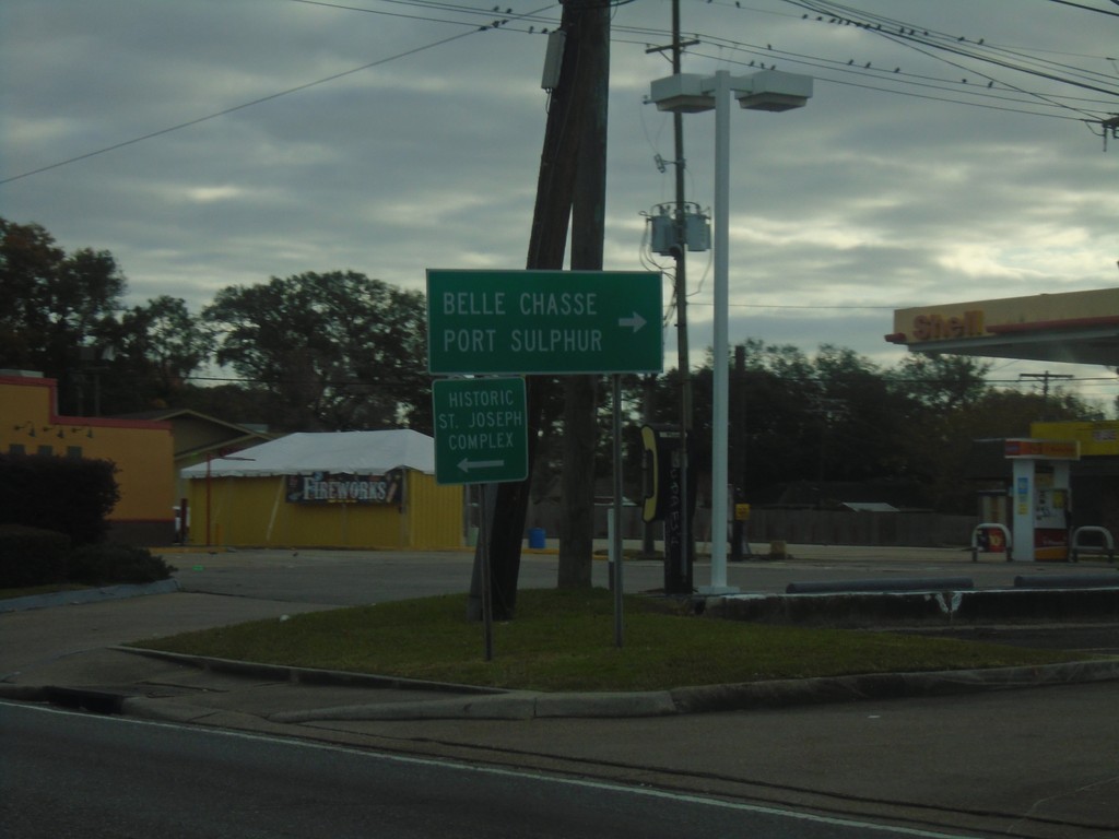
Bus. US-90 East Offramp at LA-23 South
Bus. US-90 East offramp (Exit 7) at LA-23 South. Use LA-23 south for Belle Chasse and Port Sulphur.
Taken 12-23-2018
 Gretna
Jefferson Parish
Louisiana
United States
Gretna
Jefferson Parish
Louisiana
United States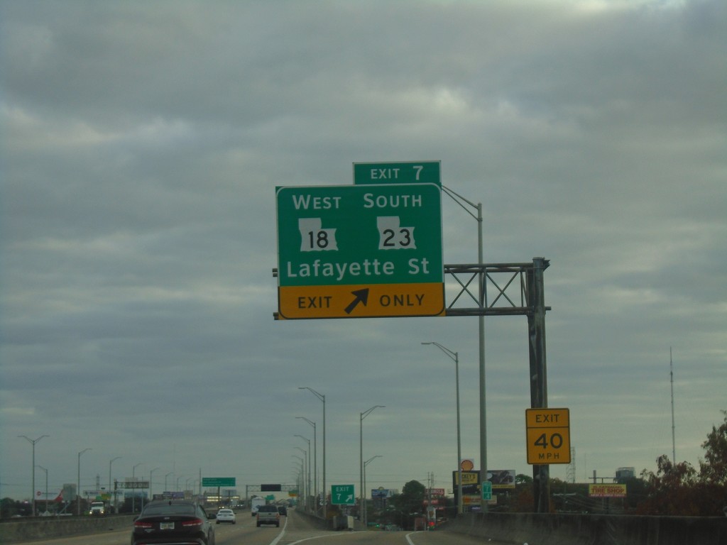
Bus. US-90 East - Exit 7
Bus. US-90 East at Exit 7 - LA-18 West/LA-23 South/Lafayette St.
Taken 12-23-2018
 Gretna
Jefferson Parish
Louisiana
United States
Gretna
Jefferson Parish
Louisiana
United States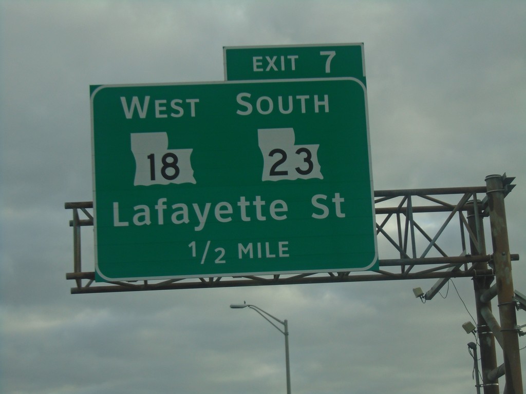
Bus. US-90 East - Exit 7
Bus. US-90 East approaching Exit 7 - LA-18 West/LA-23 South/Lafayette St.
Taken 12-23-2018
Gretna
Jefferson Parish
Louisiana
United States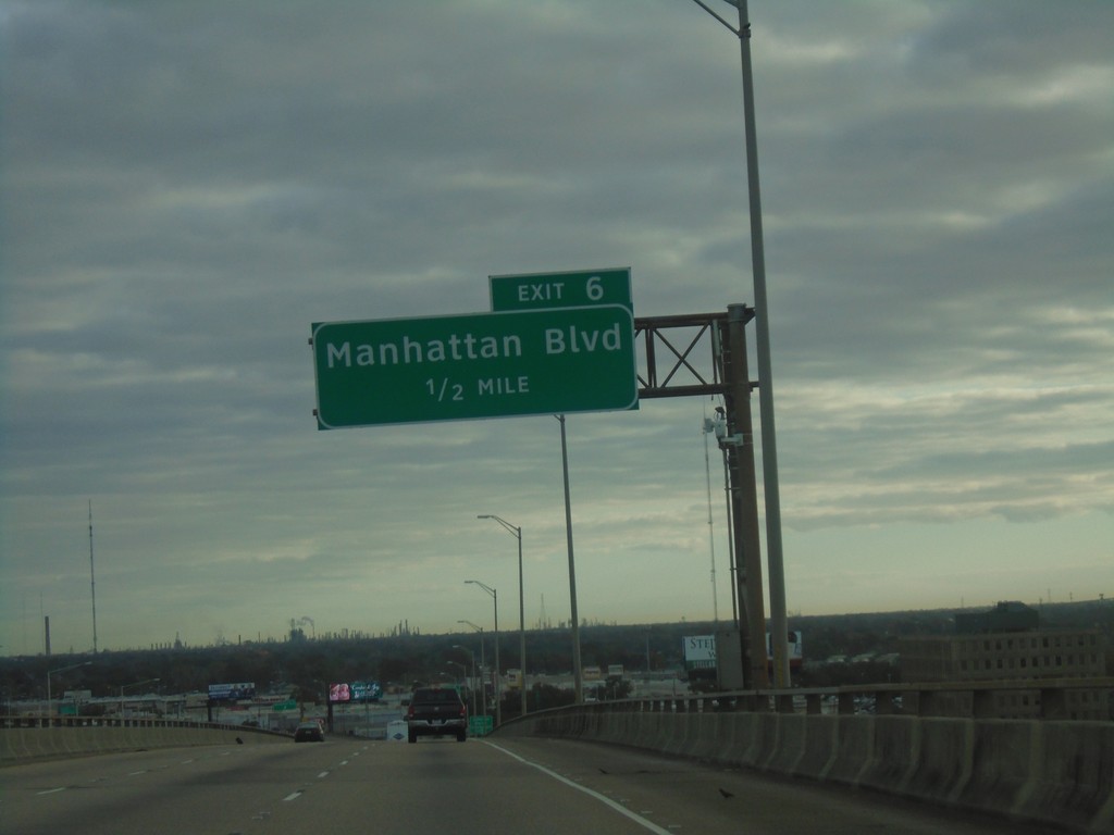
Bus. US-90 East - Exit 6
Bus. US-90 East approaching Exit 6 - Manhattan Blvd.
Taken 12-23-2018
Harvey
Jefferson Parish
Louisiana
United States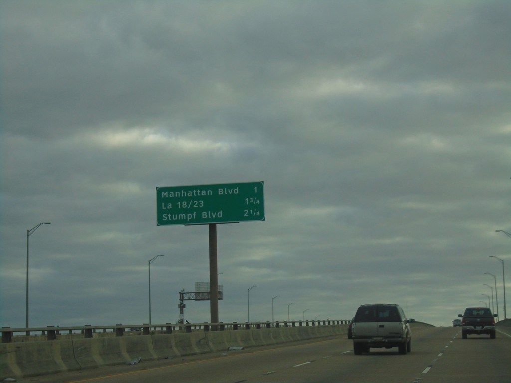
Bus. US-90 East - Next 3 Exits
Next 3 Exits on Bus. US-90 East. Manhattan Blvd./LA-18 and LA-23/Stumpf Blvd.
Taken 12-23-2018
Harvey
Jefferson Parish
Louisiana
United States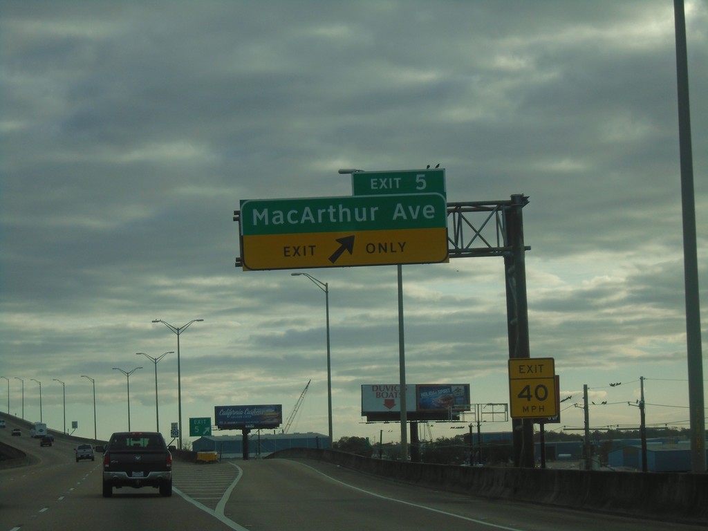
Bus. US-90 East - Exit 5
Bus. US-90 East at Exit 5 - MacArthur Ave.
Taken 12-23-2018
Marrero
Jefferson Parish
Louisiana
United States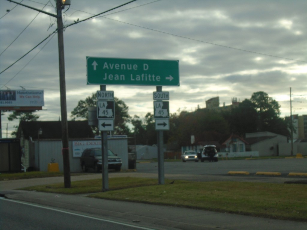
Bus. US-90 Offramp at LA-45
Bus. US-90 Offramp at LA-45. Turn right for LA-45 South to Jean Lafitte. Continue straight for Avenue D.
Taken 12-23-2018
 Marrero
Jefferson Parish
Louisiana
United States
Marrero
Jefferson Parish
Louisiana
United States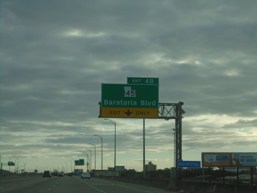
Bus. US-90 East - Exit 4B
Bus. US-90 East at Exit 45 - LA-45/Barataria Blvd.
Taken 12-23-2018
Marrero
Jefferson Parish
Louisiana
United States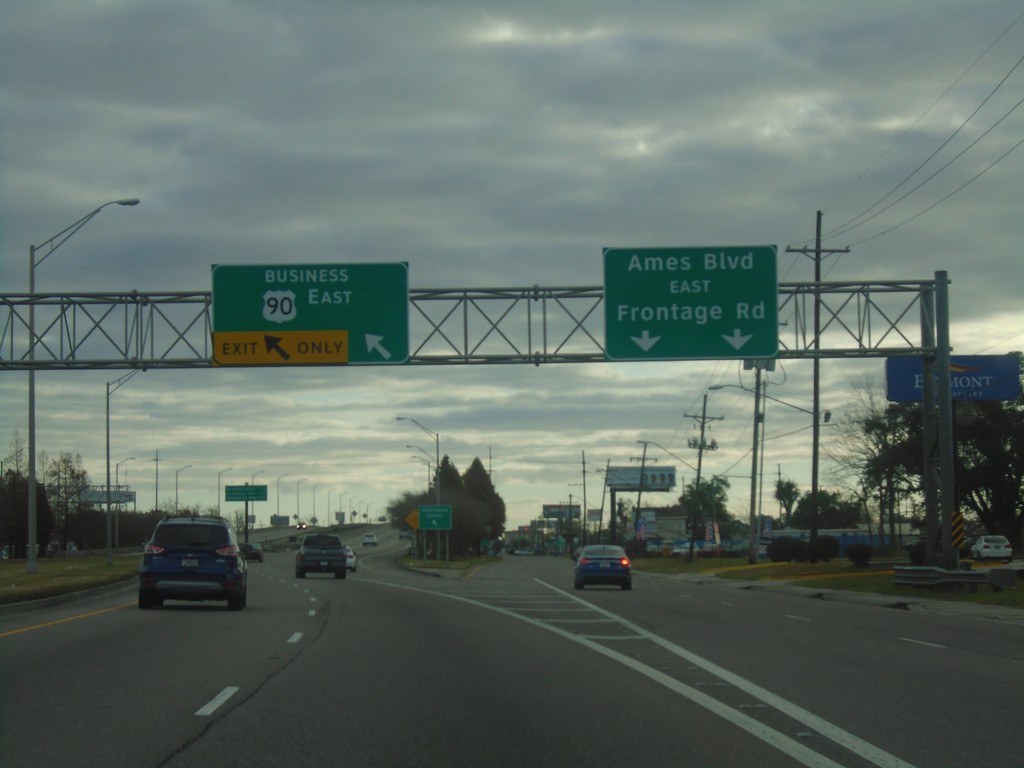
Bus. US-90 East - Begin Freeway
Begin Freeway on Bus. US-90 East. Use left lane for freeway; right lanes for Ames Blvd/East Frontage Road.
Taken 12-23-2018
Marrero
Jefferson Parish
Louisiana
United States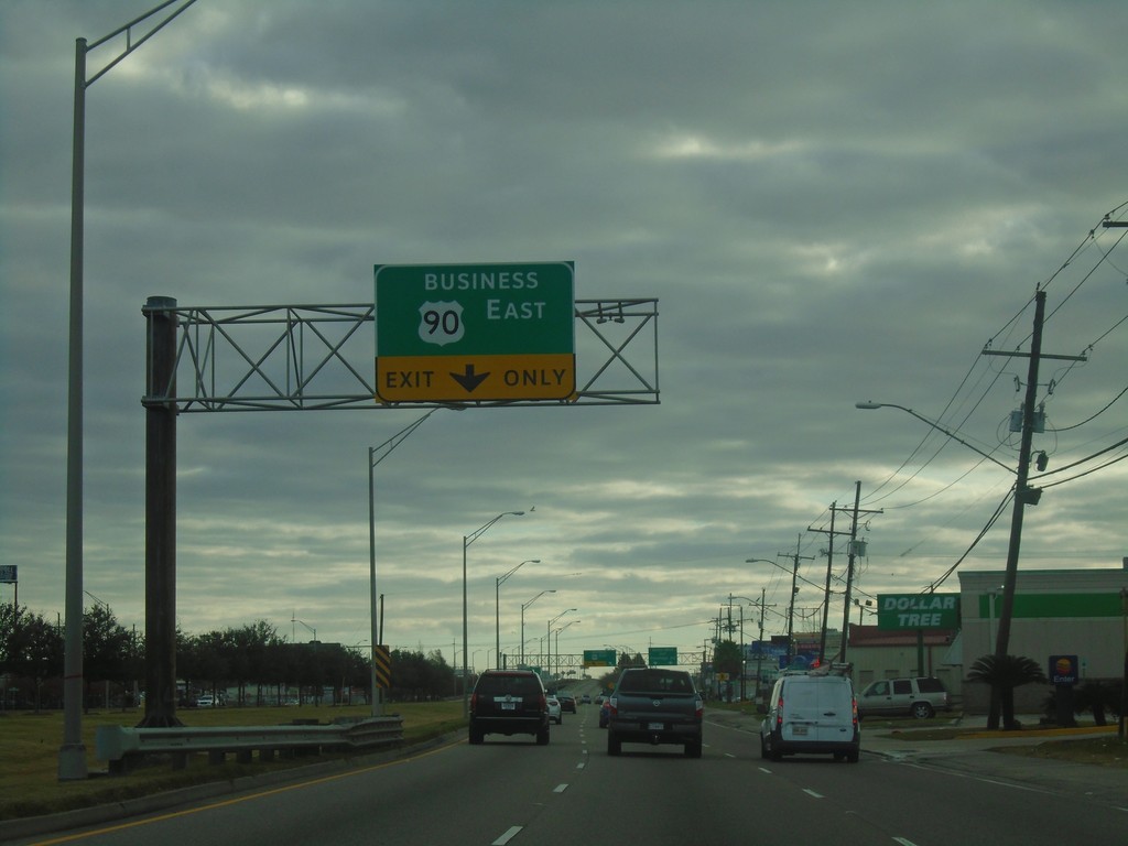
Use Left Lanes for Bus. US-90 East
Use Left Lanes for Bus. US-90 East in Jefferson Parish. Use right lane for Frontage Road. The Bus. US-90 East freeway begins here.
Taken 12-23-2018
Marrero
Jefferson Parish
Louisiana
United States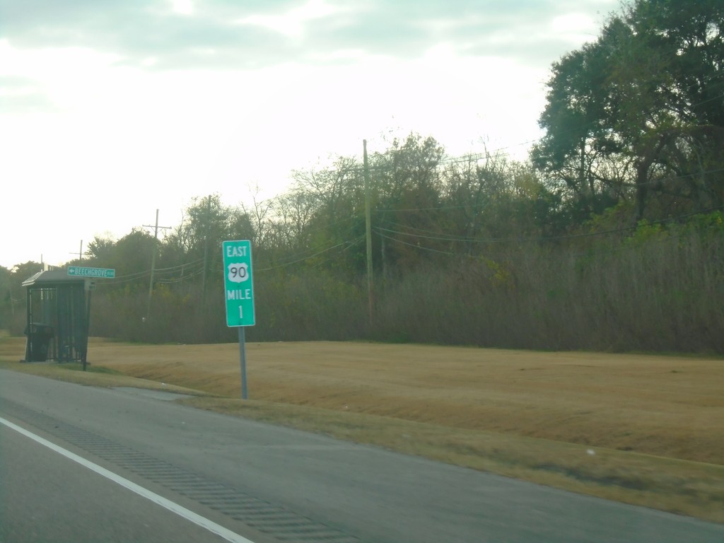
Bus. US-90 East - Milemarker
Milemarker 1 on Bus. US-90 East in Jefferson Parish.
Taken 12-23-2018
Bridge City
Jefferson Parish
Louisiana
United States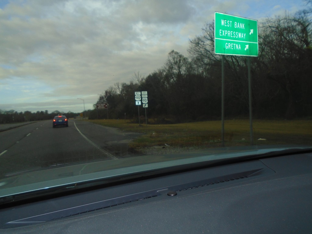
US-90 West At Bus. US-90 East
US-90 West At Bus. US-90 East/Westbank Expressway/Gretna.
Taken 12-23-2018
 Avondale
Jefferson Parish
Louisiana
United States
Avondale
Jefferson Parish
Louisiana
United States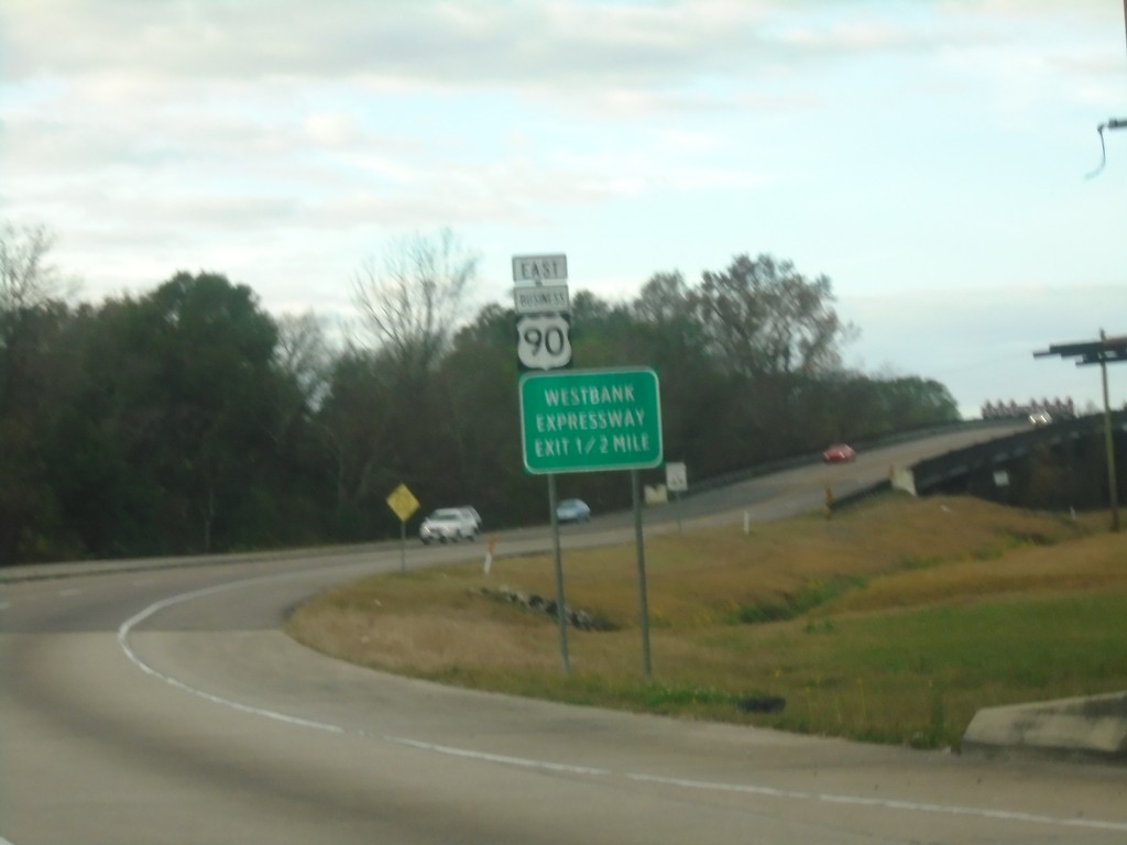
US-90 West Approaching Bus. US-90 East
US-90 West Approaching Bus. US-90 East/Westbank Expressway.
Taken 12-23-2018
Westwego
Jefferson Parish
Louisiana
United States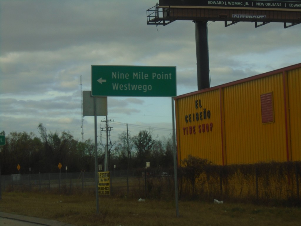
US-90 West on LA-18 East Offramp
US-90 West on LA-18 East Offramp. Turn left on LA-18 East for Nine Mile Point and Westwego.
Taken 12-23-2018
Avondale
Jefferson Parish
Louisiana
United States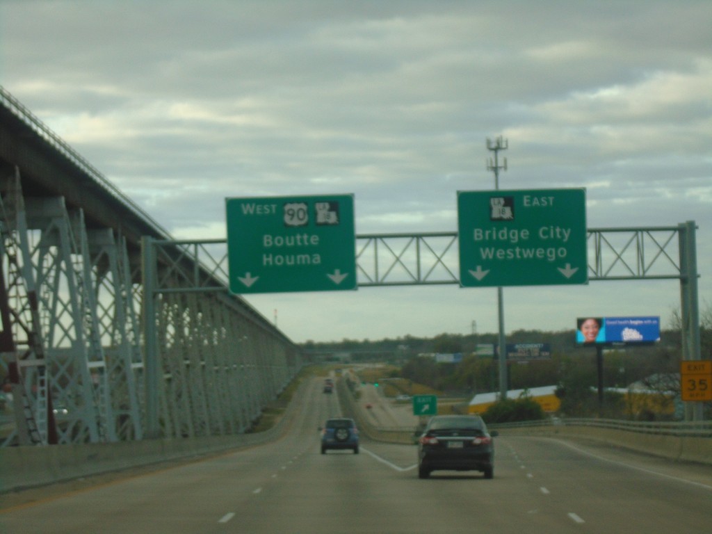
US-90 West at LA-18 Interchange
US-90 West at LA-18 East/Bridge City/Westwego. Continue west on US-90/LA-18 for Boutte and Houma.
Taken 12-23-2018
Bridge City
Jefferson Parish
Louisiana
United States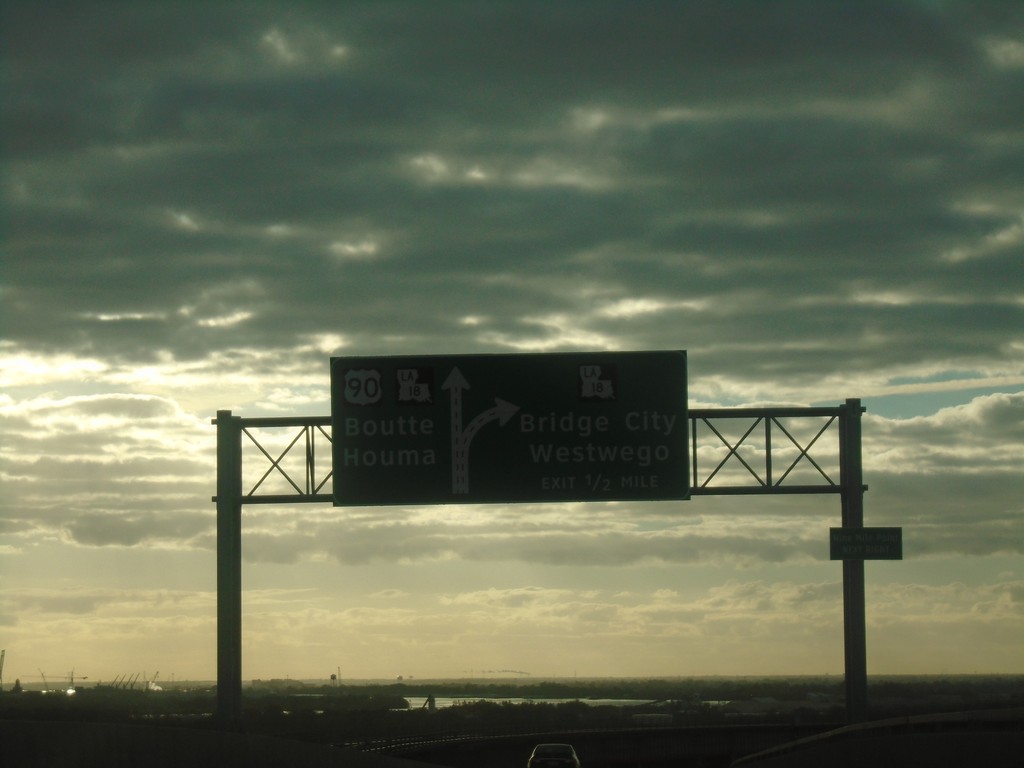
US-90 West Approaching LA-18 Interchange
US-90 West approaching LA-18 interchange. Exit for LA-18 East/Bridge City/Westwego. Continue on US-90/LA-18 West for Boutte and Houma. LA-18 west joins US-90 west.
Taken 12-23-2018
Westwego
Jefferson Parish
Louisiana
United States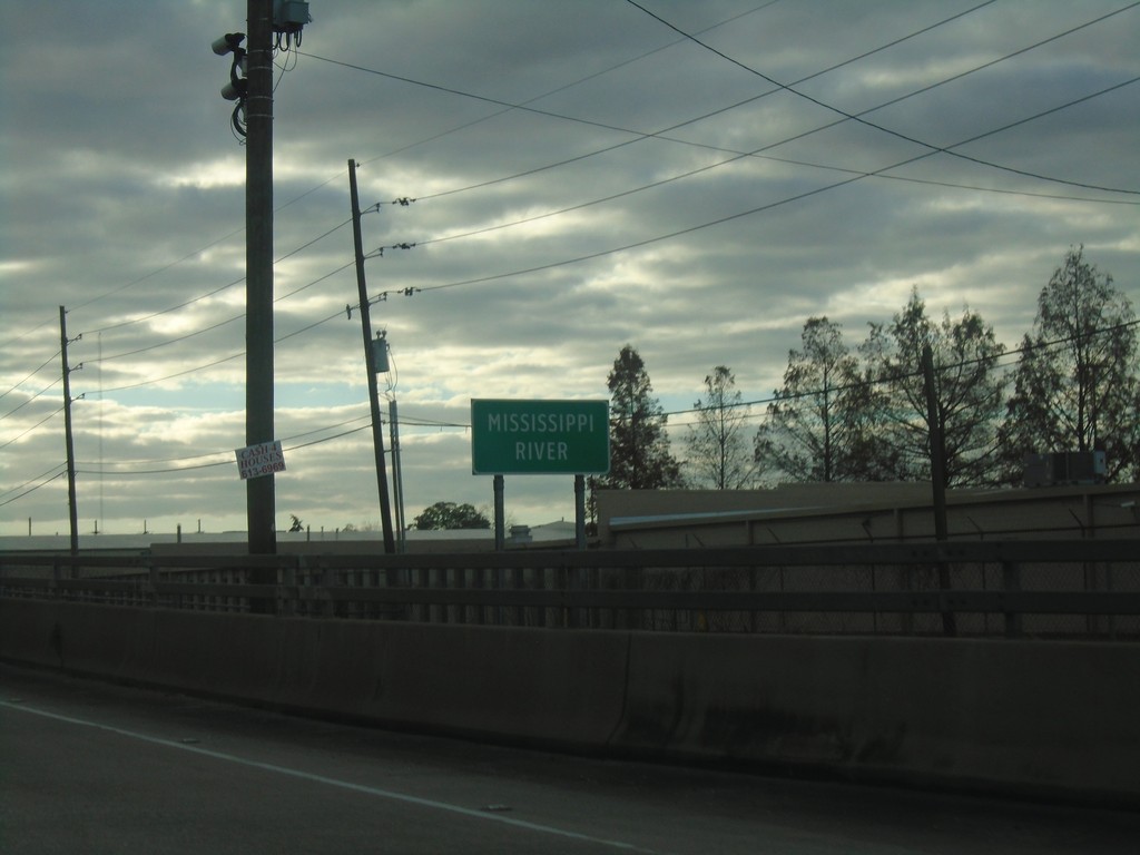
US-90 West - Mississippi River
Crossing the Mississippi River at the Huey Long Bridge on US-90 west.
Taken 12-23-2018
Elmwood
Jefferson Parish
Louisiana
United States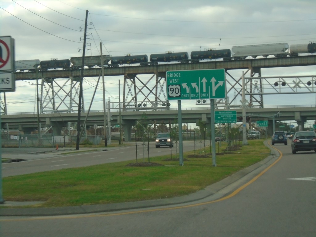
US-90 West Approaching Huey Long Bridge
US-90 West Approaching Huey Long Bridge over the Mississippi River. Use left lanes to continue west on US-90 over the bridge.
Taken 12-23-2018
New Orleans
Jefferson Parish
Louisiana
United States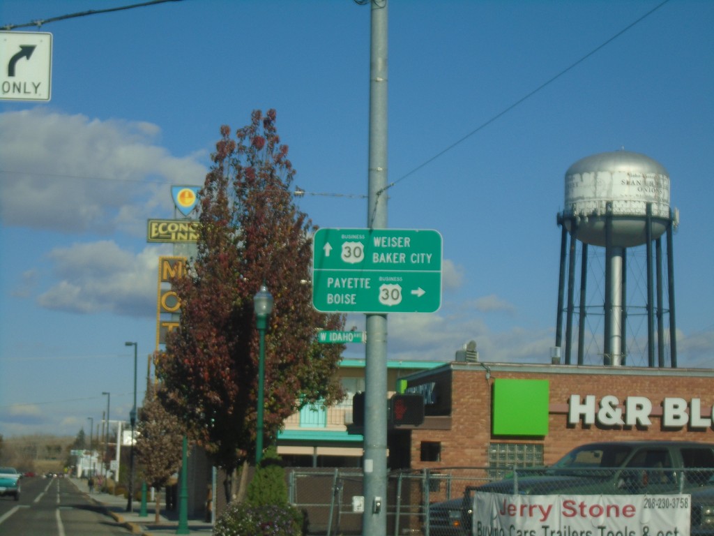
Oregon St. North at Idaho Ave. - Bus. US-30 Jct.
Oregon St. North at Idaho Ave. - Bus. US-30 Jct. in Ontario. Turn right on Bus. US-30 East for Payette (Idaho) and Boise (Idaho). Continue north on Oregon St. for Bus. US-30 West to Baker City and Weiser (Idaho).
Taken 11-10-2018
 Ontario
Malheur County
Oregon
United States
Ontario
Malheur County
Oregon
United States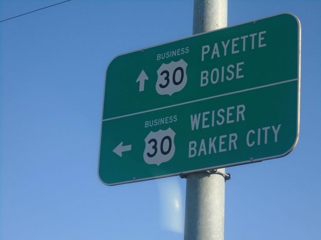
East Idaho Ave. at Oregon St. North - Bus. US-30 Jct.
East Idaho Ave. at Oregon St. North - Bus. US-30 Jct. in Ontario. Turn left on Oregon St. for Bus. US-30 West to Baker City and Weiser (Idaho). Continue east on Bus. US-30 East for Payette (Idaho) and Boise (Idaho).
Taken 11-10-2018
Ontario
Malheur County
Oregon
United States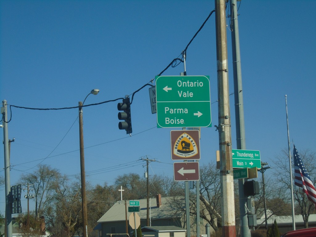
OR-201 North at US-20/US-26 - Nyssa.
OR-201 North at US-20/US-26 in Nyssa. Turn left for US-20/US-26 West/OR-201 north to Ontario and Vale; turn right for US-20/US-26 East to Parma (Idaho) and Boise (Idaho).
Taken 11-10-2018


 Nyssa
Malheur County
Oregon
United States
Nyssa
Malheur County
Oregon
United States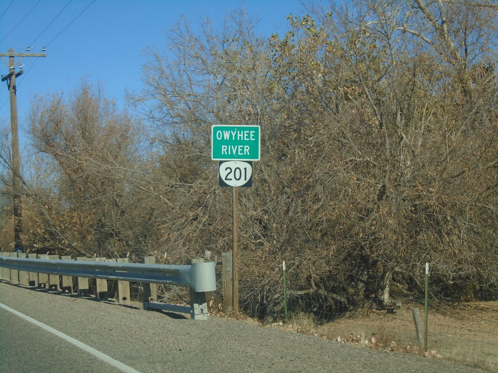
OR-201 North - Owyhee River
OR-201 north at the Owyhee River.
Taken 11-10-2018
Nyssa
Malheur County
Oregon
United States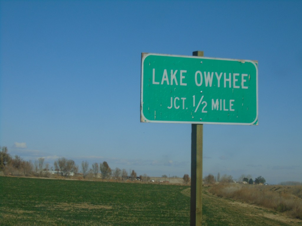
OR-201 North - Lake Owyhee Jct.
OR-201 north approaching Lake Owyhee Jct. (Overstreet Road).
Taken 11-10-2018
Nyssa
Malheur County
Oregon
United States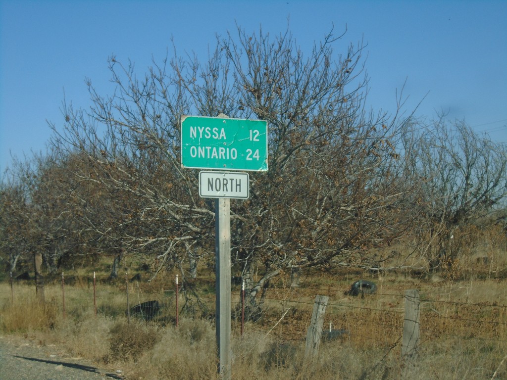
OR-201 North - Distance Marker
Distance marker on OR-201 north. Distance to Nyssa and Ontario.
Taken 11-10-2018
Adrian
Malheur County
Oregon
United States