Signs Tagged With Big Green Sign
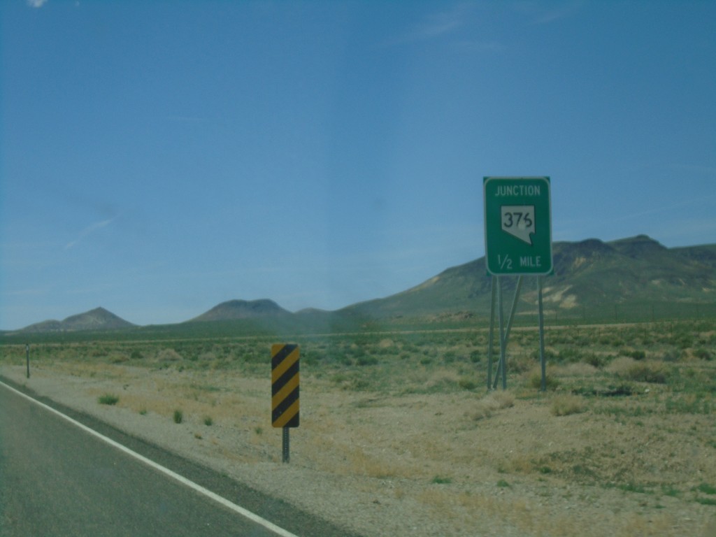
US-6 West Approaching NV-375 North
US-6 West approaching NV-375 North in Nye County.
Taken 04-26-2019

 Tonopah
Nye County
Nevada
United States
Tonopah
Nye County
Nevada
United States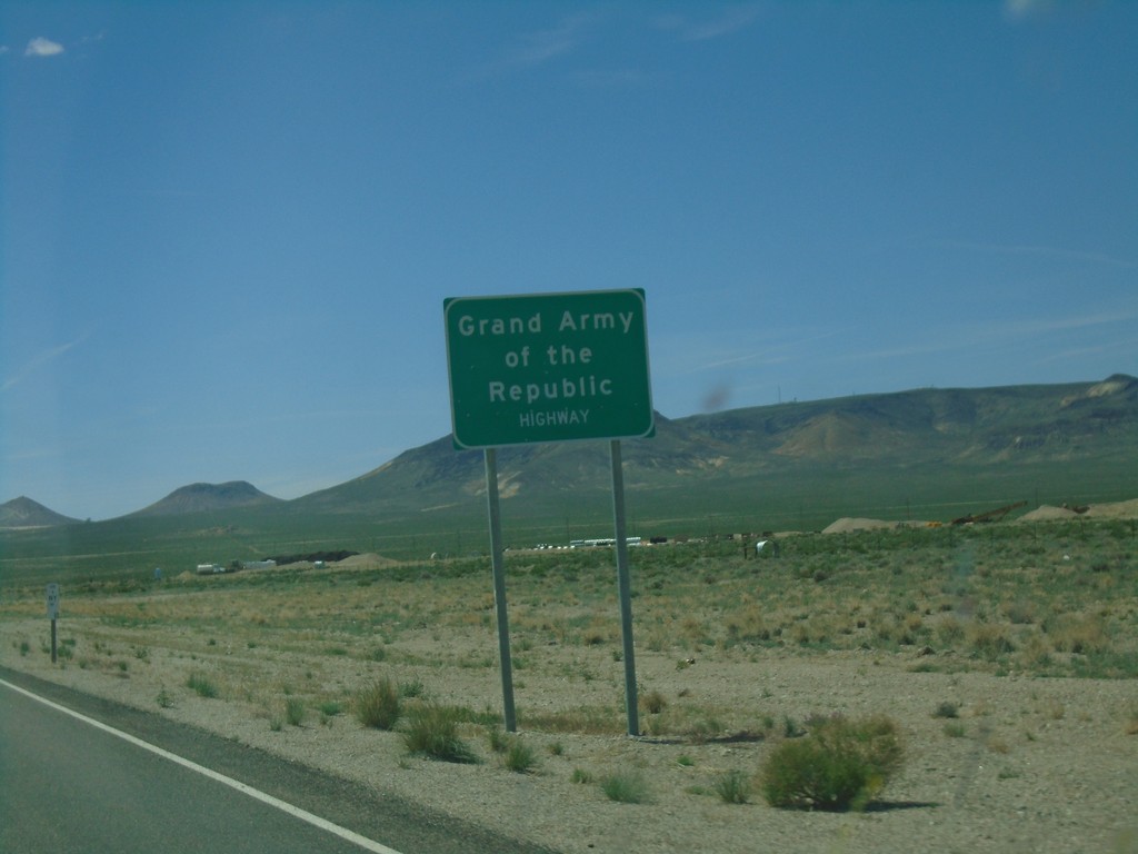
US-6 West - Grand Army of the Republic Highway
US-6 West - Grand Army of the Republic Highway in Nye County.
Taken 04-26-2019
Tonopah
Nye County
Nevada
United States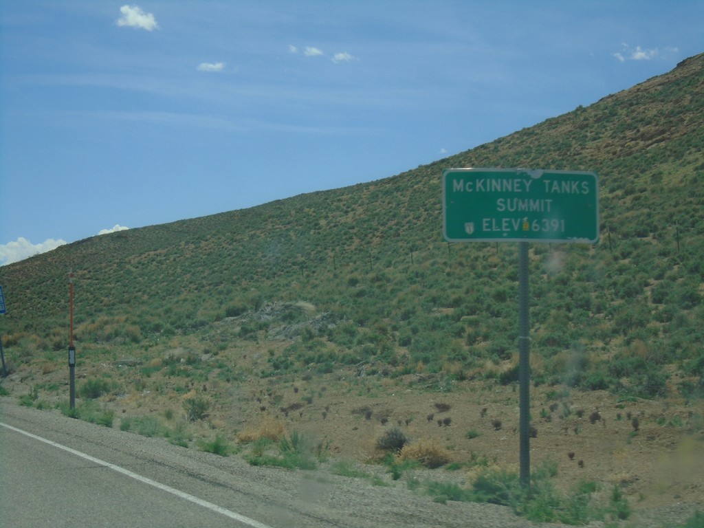
US-6 West - McKinney Tanks Summit
US-6 west at McKinney Tanks Summit - Elevation 6391 Feet.
Taken 04-26-2019
Tonopah
Nye County
Nevada
United States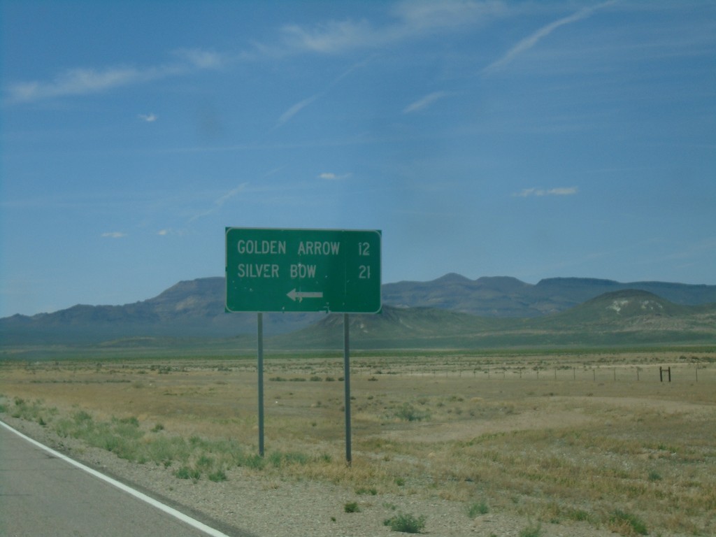
US-6 West - Silver Bow/Golden Arrow Junction
US-6 west at Sliver Bow/Golden Arrow junction.
Taken 04-26-2019
Tonopah
Nye County
Nevada
United States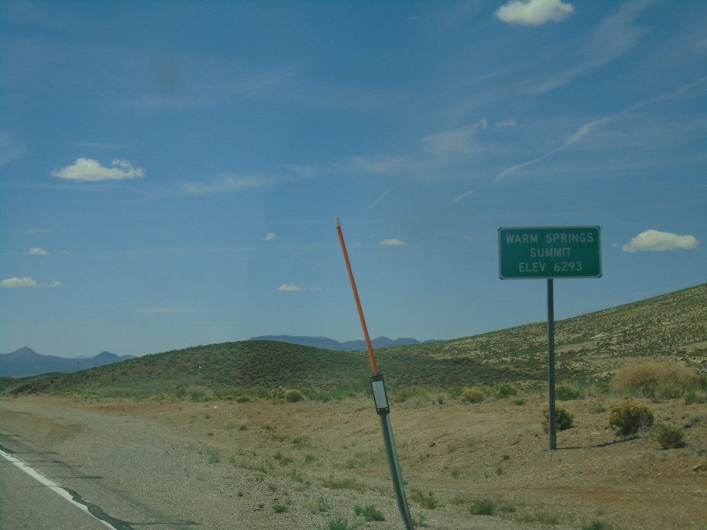
US-6 West - Warm Springs Summit
US-6 west at Warm Springs Summit - Elevation 6293 Feet.
Taken 04-26-2019
Tonopah
Nye County
Nevada
United States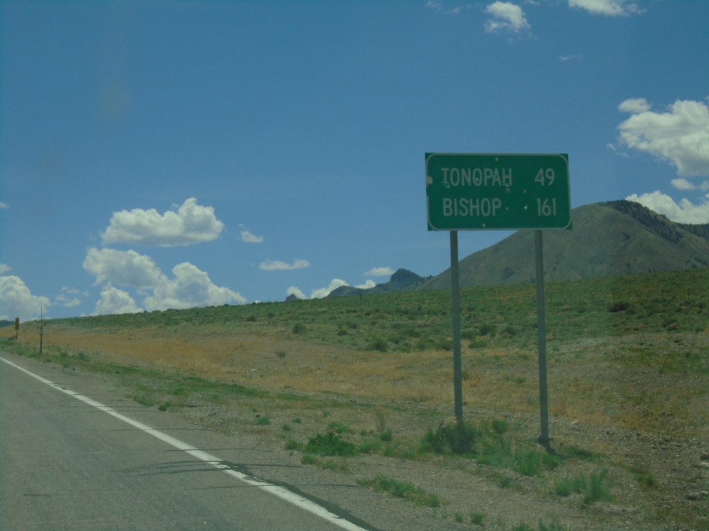
US-6 West - Distance Marker
Distance marker on US-6 west. Distance to Tonopah and Bishop (California).
Taken 04-26-2019
Warm Springs
Nye County
Nevada
United States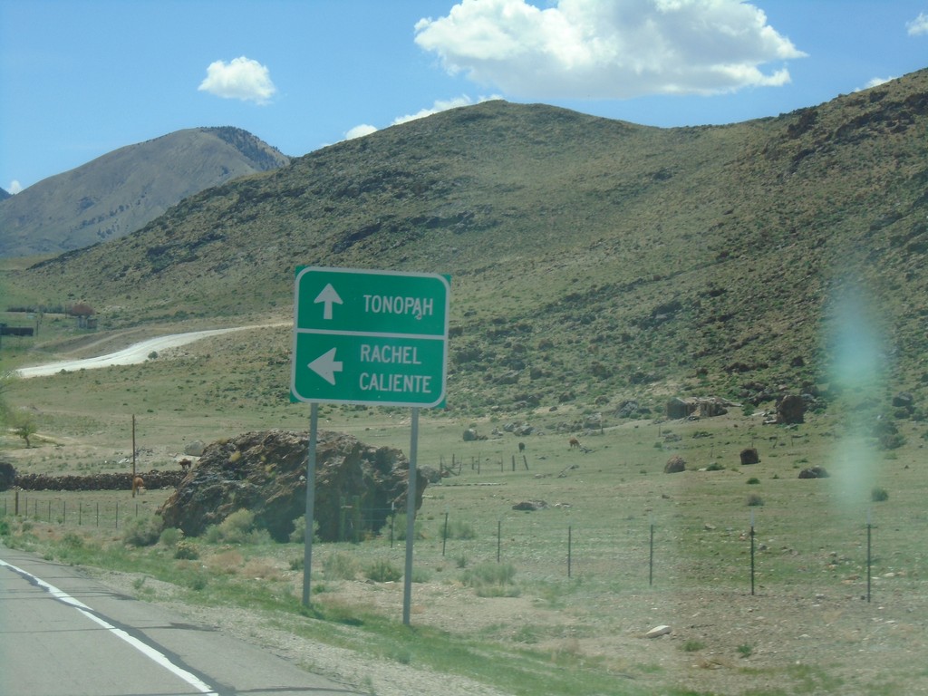
US-6 West at NV-375 South
US-6 west at NV-375 south to Rachel and Caliente. Continue west on US-6 for Tonopah.
Taken 04-26-2019
 Tonopah
Nye County
Nevada
United States
Tonopah
Nye County
Nevada
United States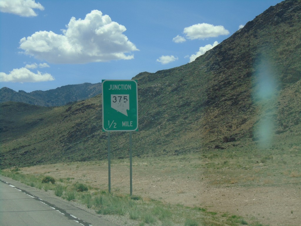
US-6 West Approaching NV-375 - Warm Springs Junction
US-6 West approaching NV-375 - Warm Springs Junction.
Taken 04-26-2019
Warm Springs
Nye County
Nevada
United States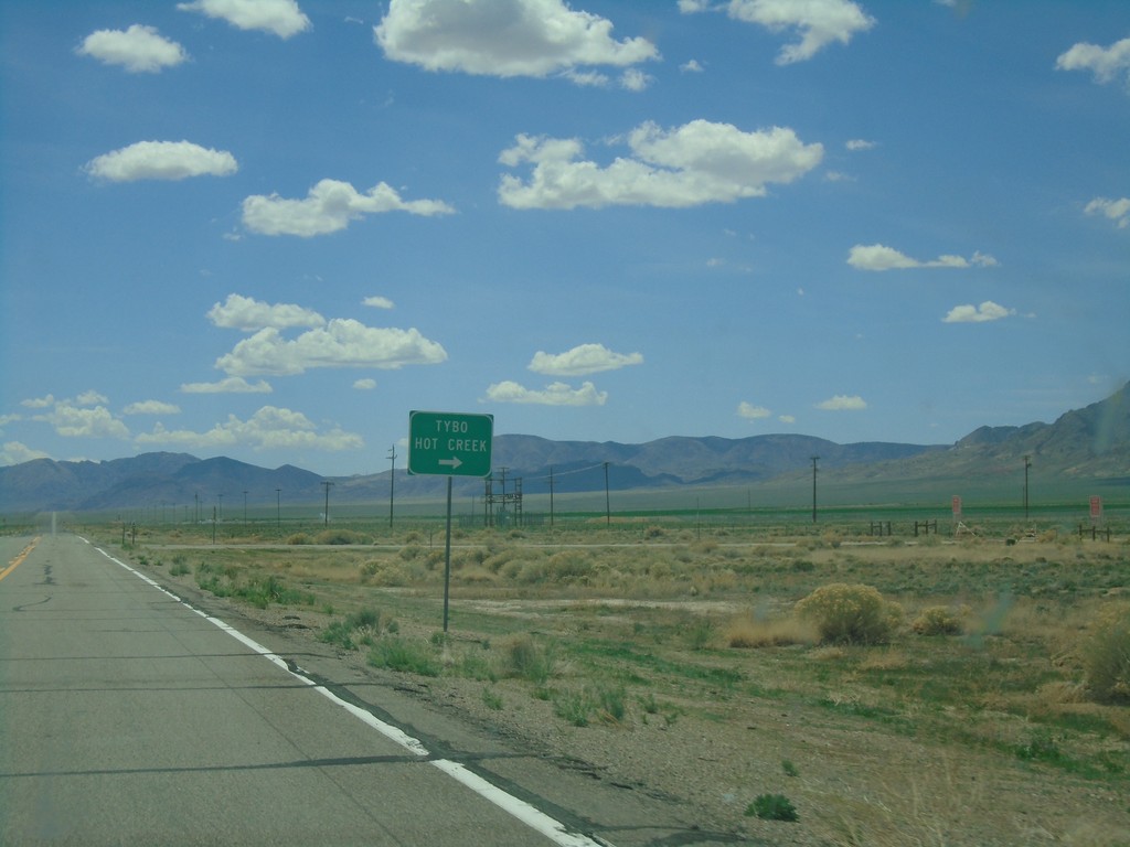
US-6 West - Tybo Jct.
US-6 west at Tybo/Hot Creek Jct.
Taken 04-26-2019
Warm Springs
Nye County
Nevada
United States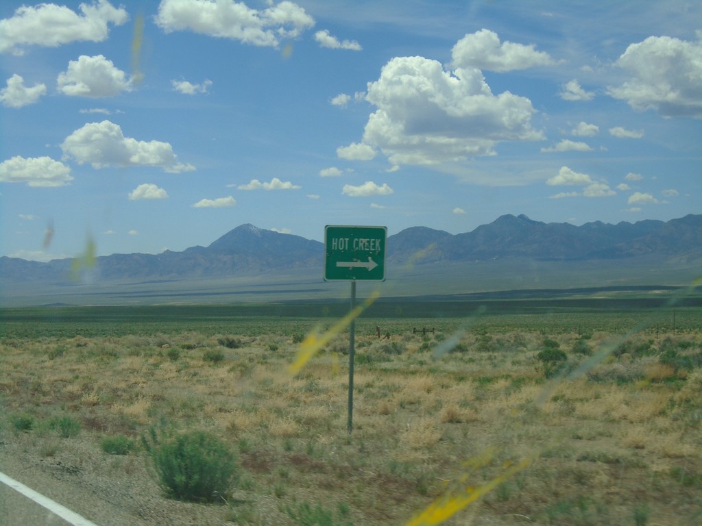
US-6 West - Hot Creek Junction
US-6 west at Hot Creek junction.
Taken 04-26-2019
Tonopah
Nye County
Nevada
United States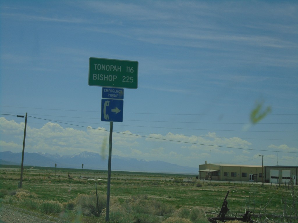
US-6 West - Distance Marker
Distance marker on US-6 west. Distance to Tonopah and Bishop (California). This is the first appearance of Bishop as a control city on US-6 westbound.
Taken 04-26-2019
Tonopah
Nye County
Nevada
United States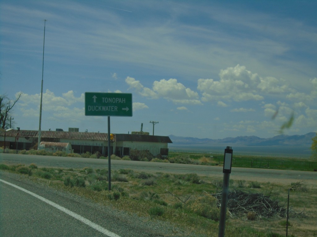
US-6 West Approaching NV-379
US-6 West approaching NV-379 north to Duckwater. Continue west on US-6 for Tonopah.
Taken 04-26-2019
 Tonopah
Nye County
Nevada
United States
Tonopah
Nye County
Nevada
United States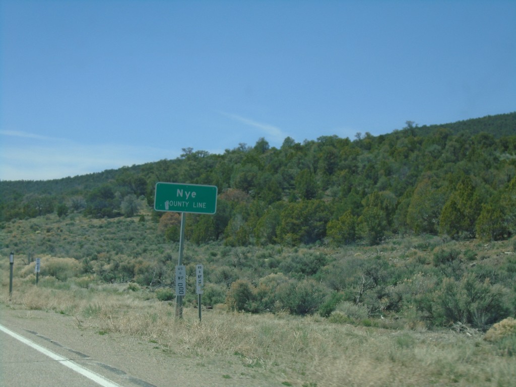
US-6 West - Nye County
Entering Nye County on US-6 West. Nye County is the largest county by area in Nevada and the third largest by area in the United States.
Taken 04-26-2019
Nye County
Nevada
United States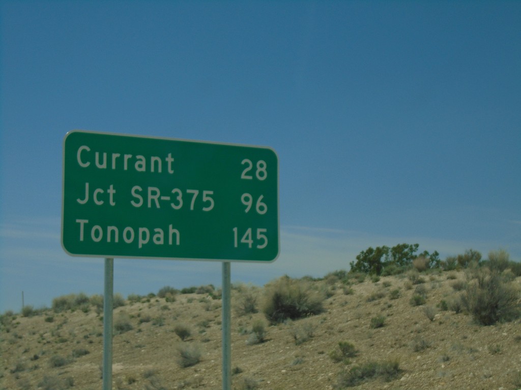
US-6 West - Distance Marker
Distance marker on US-6 West. Distance to Currant, Jct. SR-375, and Tonopah.
Taken 04-26-2019
Lund
White Pine County
Nevada
United States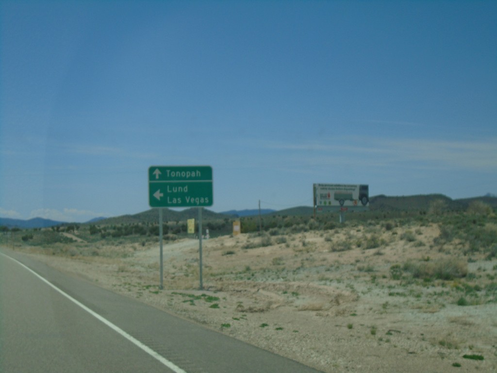
US-6 West Approaching NV-318
US-6 West approaching NV-318 South to Lund and Las Vegas. Continue west on US-6 for Tonopah.
Taken 04-26-2019
 Preston
White Pine County
Nevada
United States
Preston
White Pine County
Nevada
United States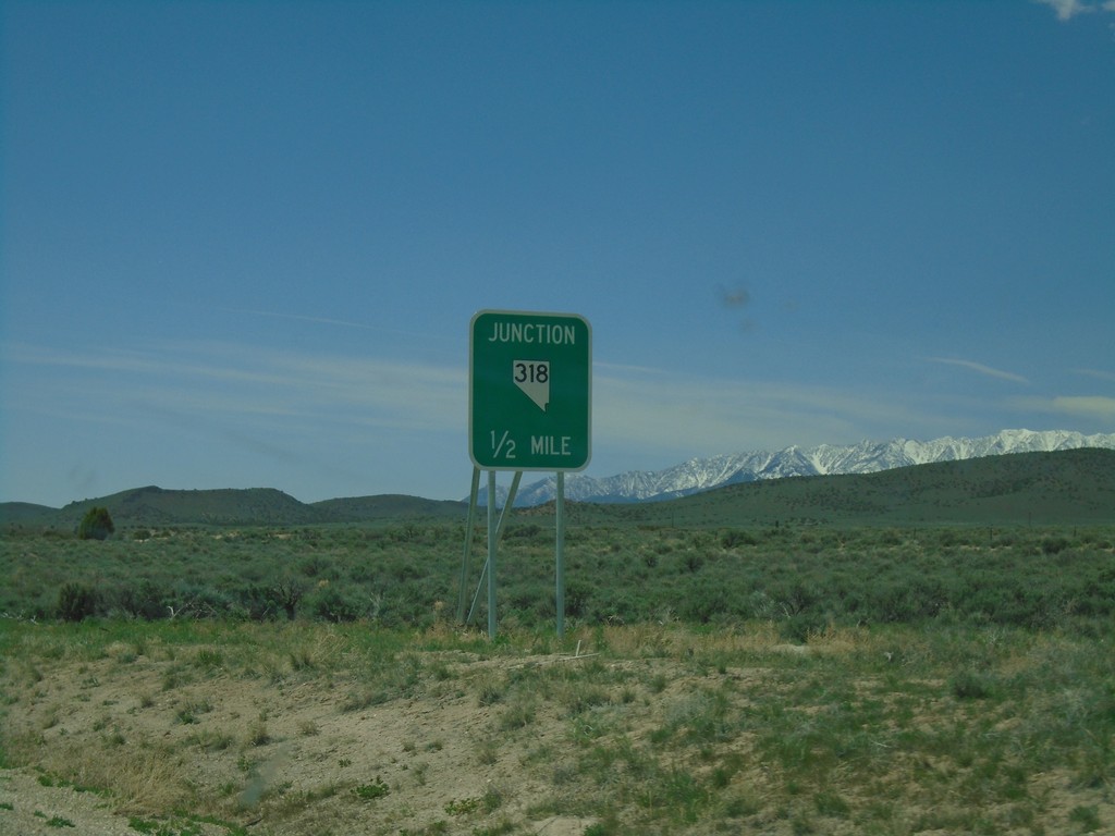
US-6 West Approaching NV-318
US-6 west approaching NV-318 South - Lund Jct.
Taken 04-26-2019
Preston
White Pine County
Nevada
United States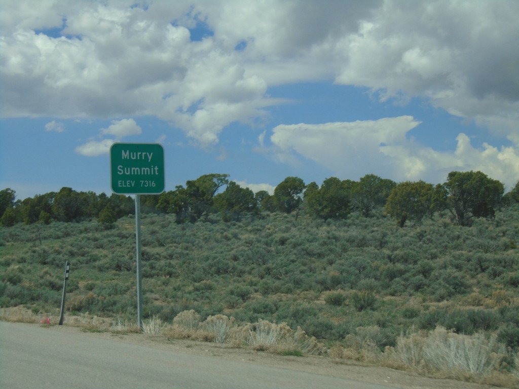
US-6 West - Murry Summit
US-6 west at Murry Summit - Elevation 7316 Feet.
Taken 04-26-2019
Ruth
White Pine County
Nevada
United States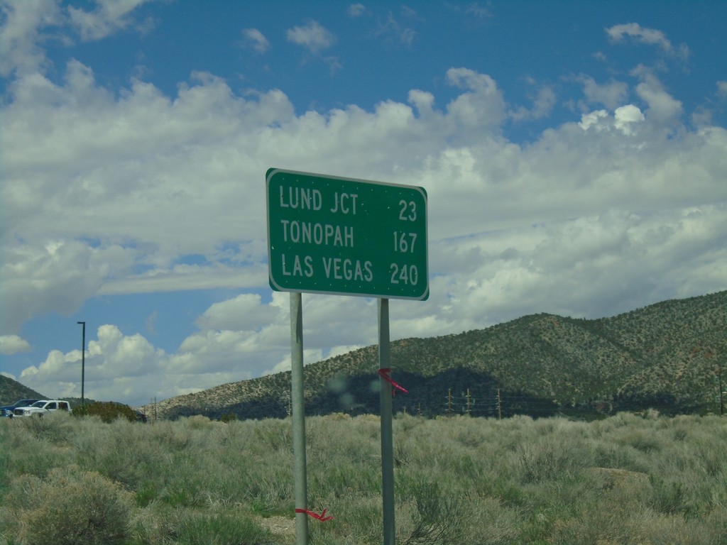
US-6 West - Distance Marker
Distance marker on US-6 west. Distance to Lund Jct., Tonopah, and Las Vegas (via NV-318).
Taken 04-26-2019
Ely
White Pine County
Nevada
United States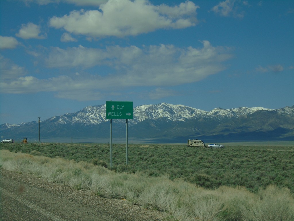
End Alt. US-95 South at US-93
End Alt. US-95 South at US-93 at Lages Station. Turn right for US-93 north to Wells; straight for US-93 south to Ely.
Taken 04-26-2019

 Ely
White Pine County
Nevada
United States
Ely
White Pine County
Nevada
United States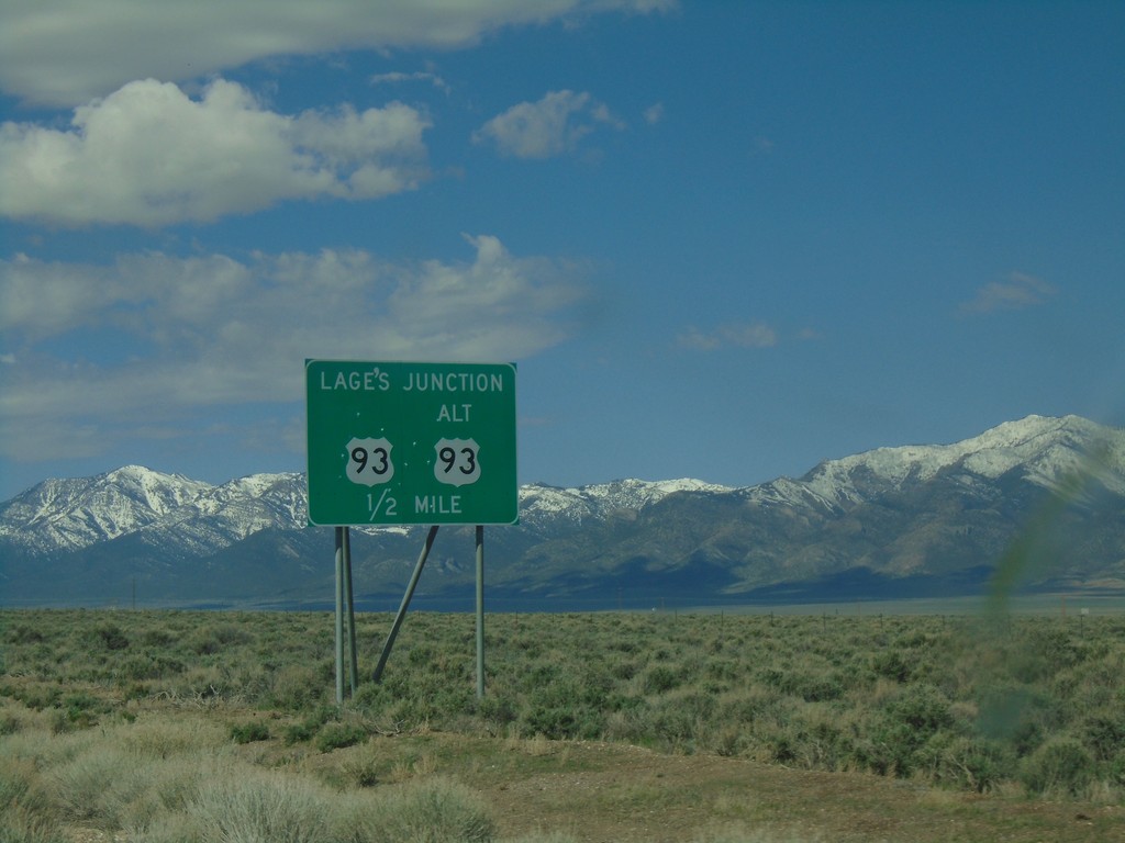
Alt. US-93 South Approaching US-93
Alt. US-93 South approaching US-93 - Lages Junction.
Taken 04-26-2019
Ely
White Pine County
Nevada
United States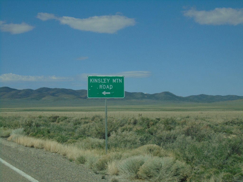
Alt. US-93 South - Kinsley Mountain Road
Alt. US-93 south at Kinsley Mountain Road.
Taken 04-26-2019
West Wendover
Elko County
Nevada
United States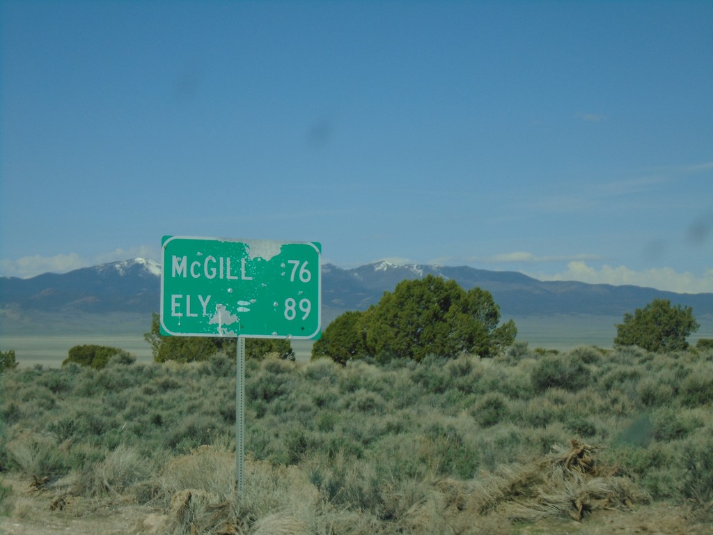
Alt. US-93 South - Distance Marker
Distance marker on Alt. US-93 South. Distance to McGill and Ely.
Taken 04-26-2019
Elko County
Nevada
United States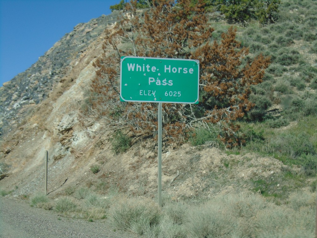
Alt. US-93 South - White Horse Pass
Alt. US-93 South at White Horse Pass - Elevation 6025 Feet.
Taken 04-26-2019
Elko County
Nevada
United States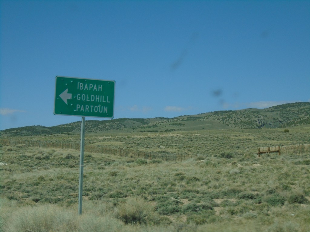
Alt. US-93 South at Ibapah Junction
Alt. US-93 South at junction to Ibapah, Goldhill, and Partoun.
Taken 04-26-2019
Elko County
Nevada
United States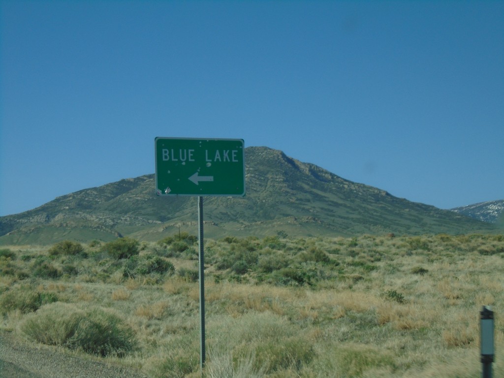
US-93 Alt. South Approaching Blue Lake Junction
US-93 Alt. South approaching Blue Lake Junction. Blue Lake is a popular spot for scuba divers.
Taken 04-26-2019
Elko County
Nevada
United States