Signs Tagged With Big Green Sign
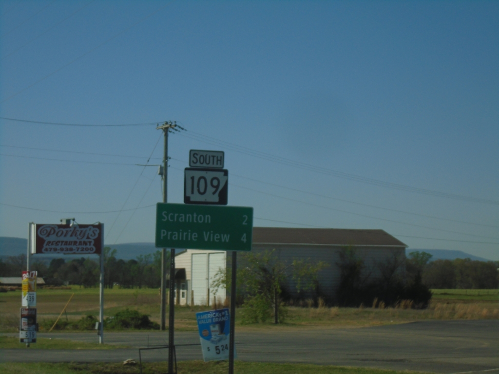
AR-109 South - Distance Marker
Distance marker on AR-109 south. Distance to Scranton and Prairie View.
Taken 03-28-2026
 Scranton
Logan County
Arkansas
United States
Scranton
Logan County
Arkansas
United States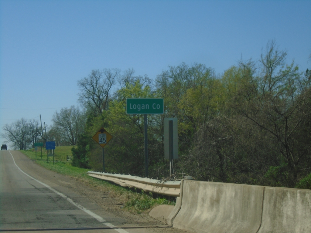
AR-109 South - Logan County
Logan County on AR-109 South
Taken 03-28-2026
Scranton
Logan County
Arkansas
United States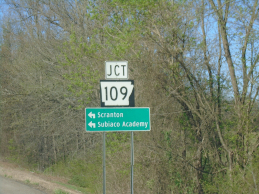
US-64 West Approaching AR-109
US-64 West approaching AR-109 in Johnson County. Use AR-109 South to Scranton and Subiaco Academy.
Taken 03-28-2026
 Clarksville
Johnson County
Arkansas
United States
Clarksville
Johnson County
Arkansas
United States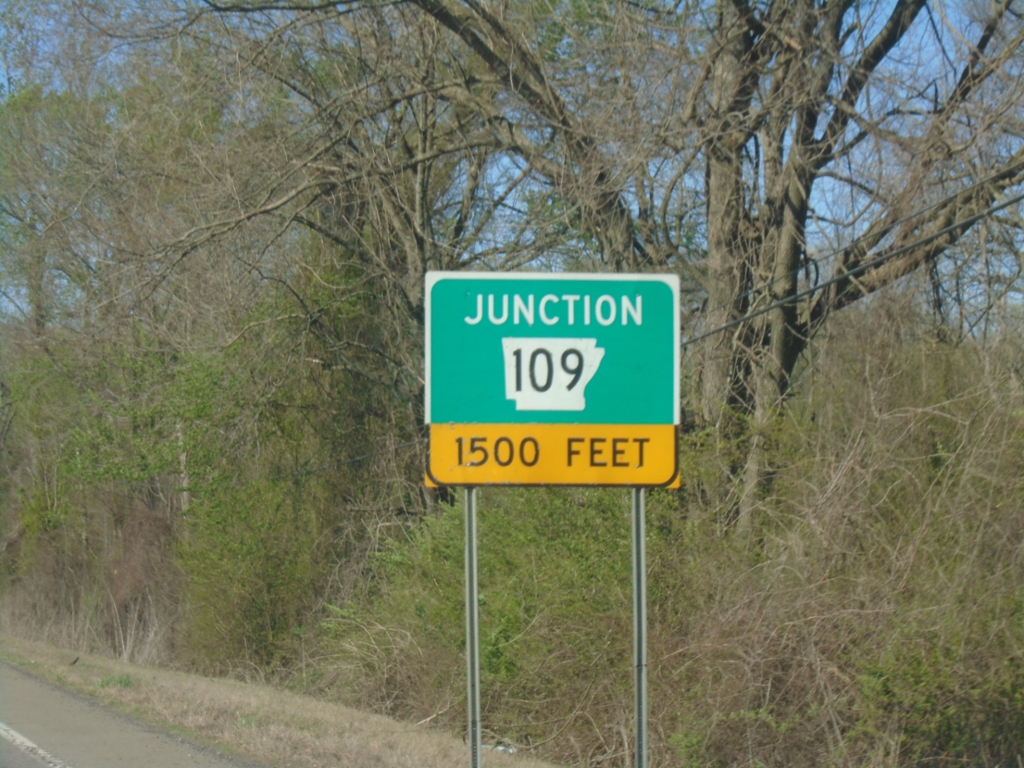
US-64 West Approaching AR-109
US-64 West Approaching AR-109 in Johnson County.
Taken 03-28-2026
Clarksville
Johnson County
Arkansas
United States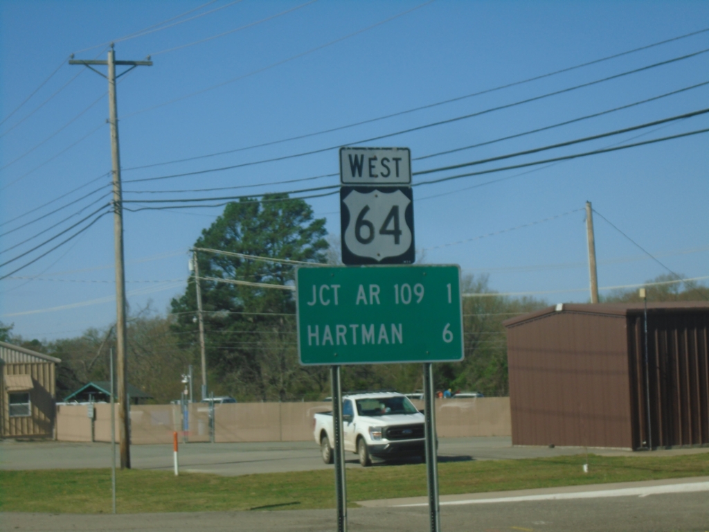
US-64 West - Distance Marker
Distance marker on US-64 West. Distance to Jct. AR-109 and Hartman.
Taken 03-28-2026
Clarksville
Johnson County
Arkansas
United States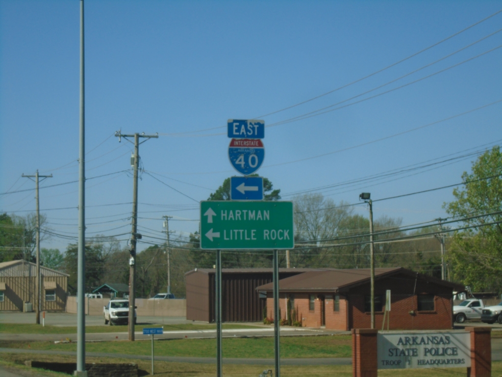
US-64 West at I-40
US-64 West at I-40 in Clarksville. Use I-40 East to Little Rock; continue west on I-64 for Hartman.
Taken 03-28-2026
 Clarksville
Johnson County
Arkansas
United States
Clarksville
Johnson County
Arkansas
United States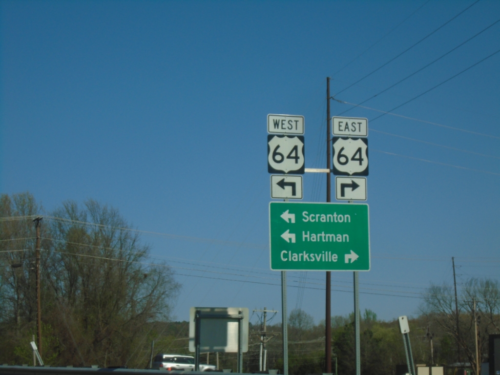
I-40 West (Exit 64) at US-64
I-40 West (Exit 64) at US-64 junction. Use US-64 East to Clarksville; US-64 West to Scranton and Hartman.
Taken 03-28-2026
Clarksville
Johnson County
Arkansas
United States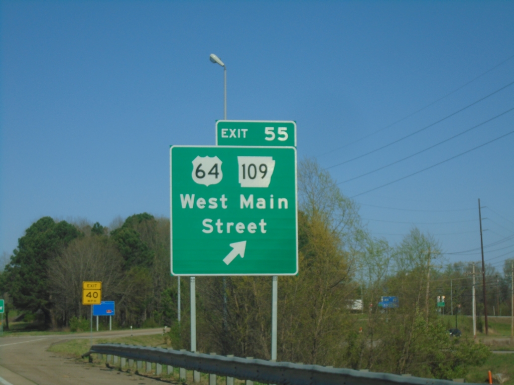
I-40 West - Exit 55
I-40 west at Exit 55 - US-64/AR-109/West Main St.
Taken 03-28-2026
Clarksville
Johnson County
Arkansas
United States
I-40 West - Exit 55
I-40 west approaching Exit 55 - US-64/AR-109/West Main Street.
Taken 03-28-2026
Clarksville
Johnson County
Arkansas
United States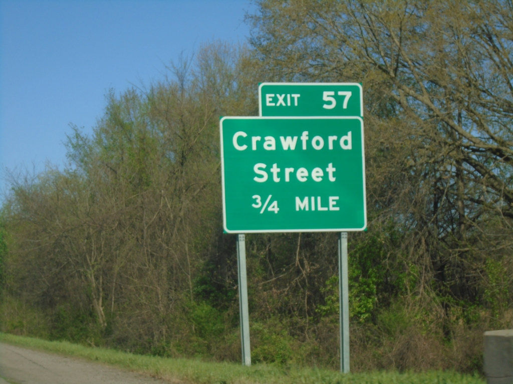
I-40 West - Exit 57
I-40 west approaching Exit 57 - Crawford St.
Taken 03-28-2026
Clarksville
Johnson County
Arkansas
United States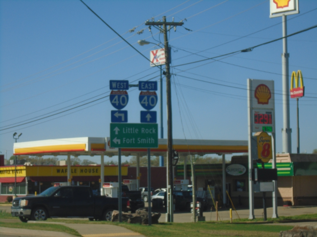
AR-103 South Approaching I-40
AR-103 South approaching I-40 in Clarksville. Use I-40 East to Little Rock; I-40 West to Fort Smith.
Taken 03-28-2026
 Clarksville
Johnson County
Arkansas
United States
Clarksville
Johnson County
Arkansas
United States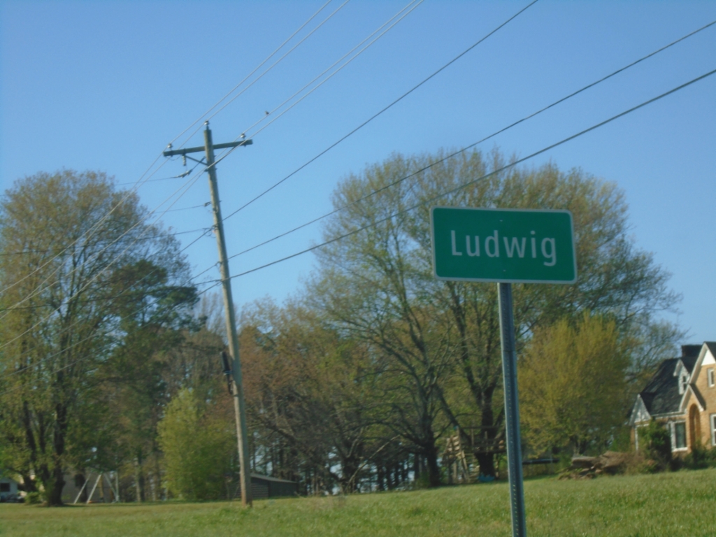
AR-21 South - Ludwig
Entering Ludwig on AR-21 South.
Taken 03-28-2026
 Clarksville
Johnson County
Arkansas
United States
Clarksville
Johnson County
Arkansas
United States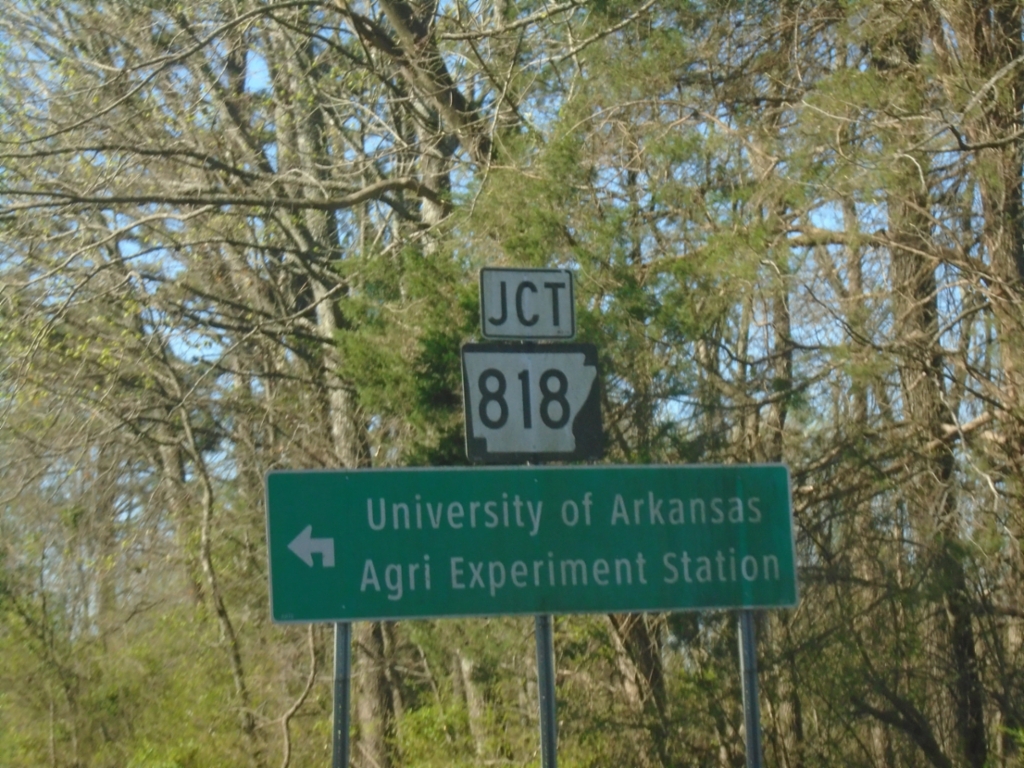
AR-21 South at AR-818
AR-21 South at AR-818 to University of Arkansas Agriculture Experiment Station.
Taken 03-28-2026
 Clarksville
Johnson County
Arkansas
United States
Clarksville
Johnson County
Arkansas
United States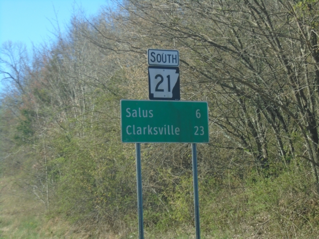
AR-21 South - Distance Marker
Distance marker on AR-21 South. Distance to Salus and Clarksville.
Taken 03-28-2026
Fallsville
Newton County
Arkansas
United States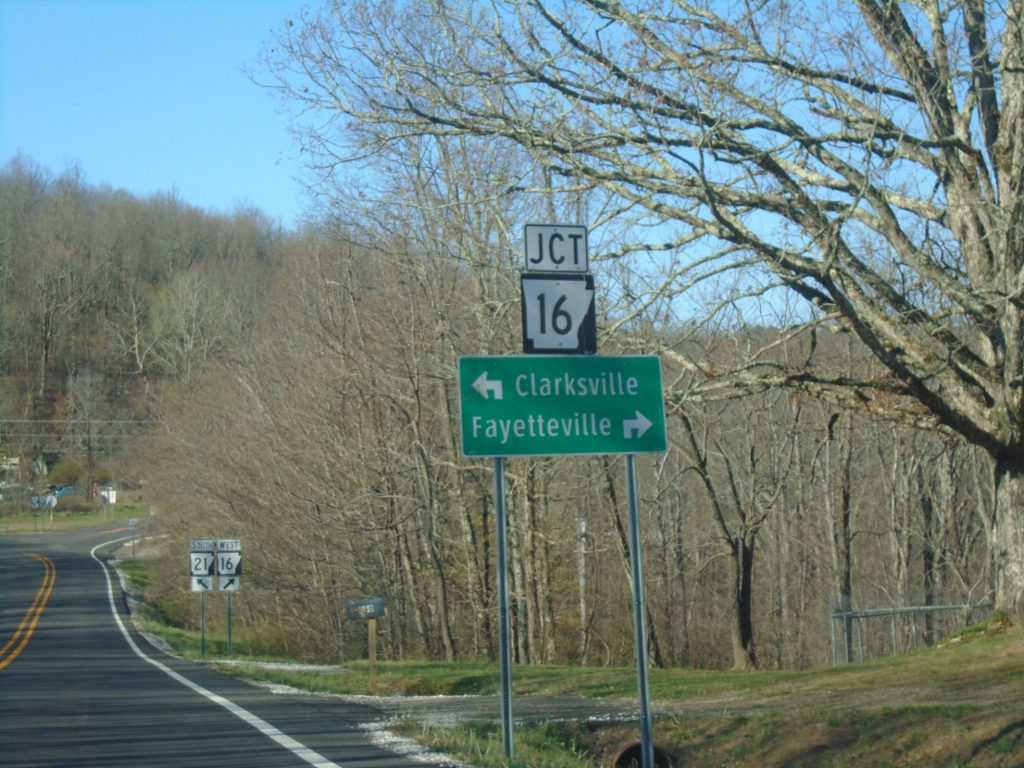
AR-16 West/AR-21 South at AR-16/AR-21 Split
AR-16 West/AR-21 South at AR-16/AR-21 split in Fallsville. Use AR-16 West to Fayetteville; AR-21 South to Clarksville.
Taken 03-28-2026
 Ozone
Newton County
Arkansas
United States
Ozone
Newton County
Arkansas
United States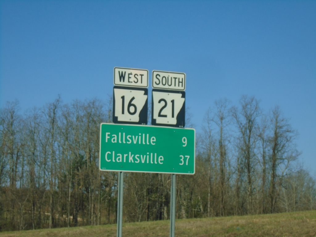
AR-16 West/AR-21 South - Distance Marker
Distance Marker on AR-16 West/AR-21 South. Distance to Fallsville and Clarksville.
Taken 03-28-2026
Newton County
Arkansas
United States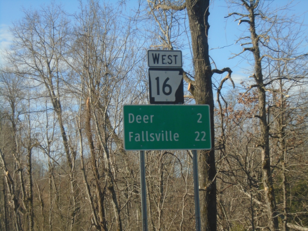
AR-16 West - Distance Marker
Distance marker on AR-16 West. Distance to Deer and Fallsville.
Taken 03-28-2026
Cowell
Newton County
Arkansas
United States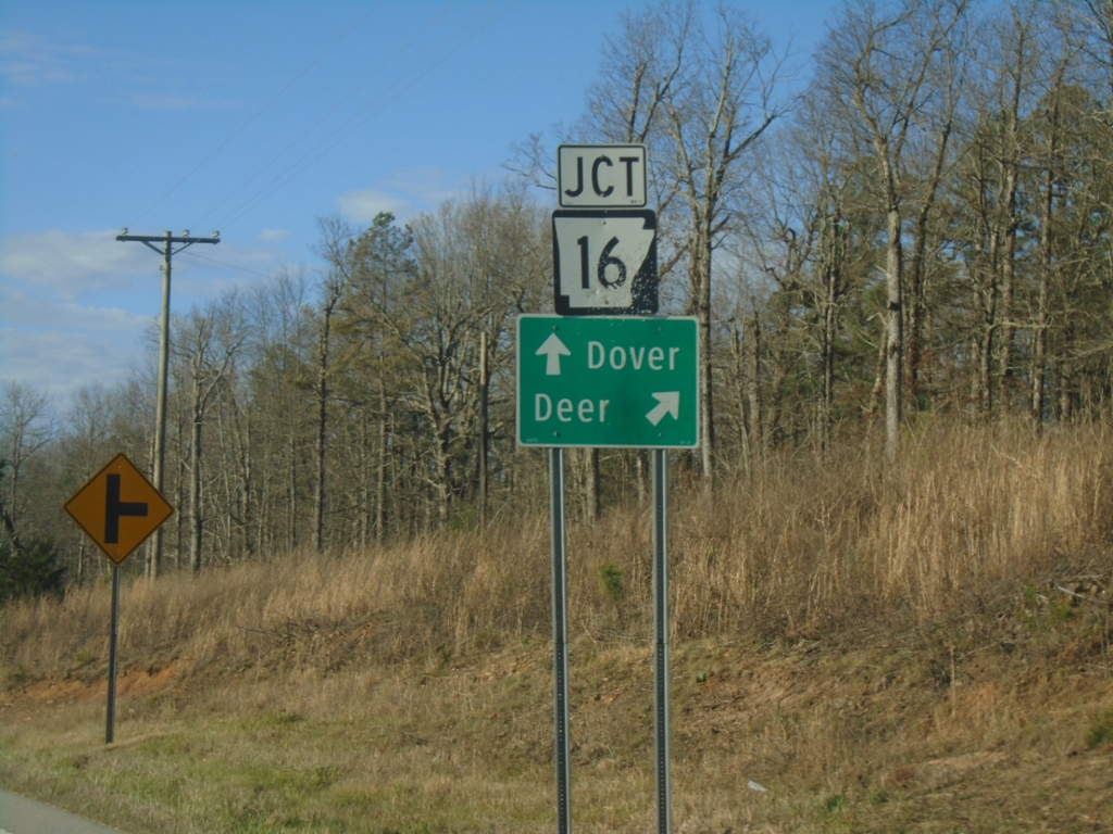
AR-7 South at AR-16
AR-7 South at AR-16 to Deer. Continue south on AR-7 to Dover.
Taken 03-28-2026
 Jasper
Newton County
Arkansas
United States
Jasper
Newton County
Arkansas
United States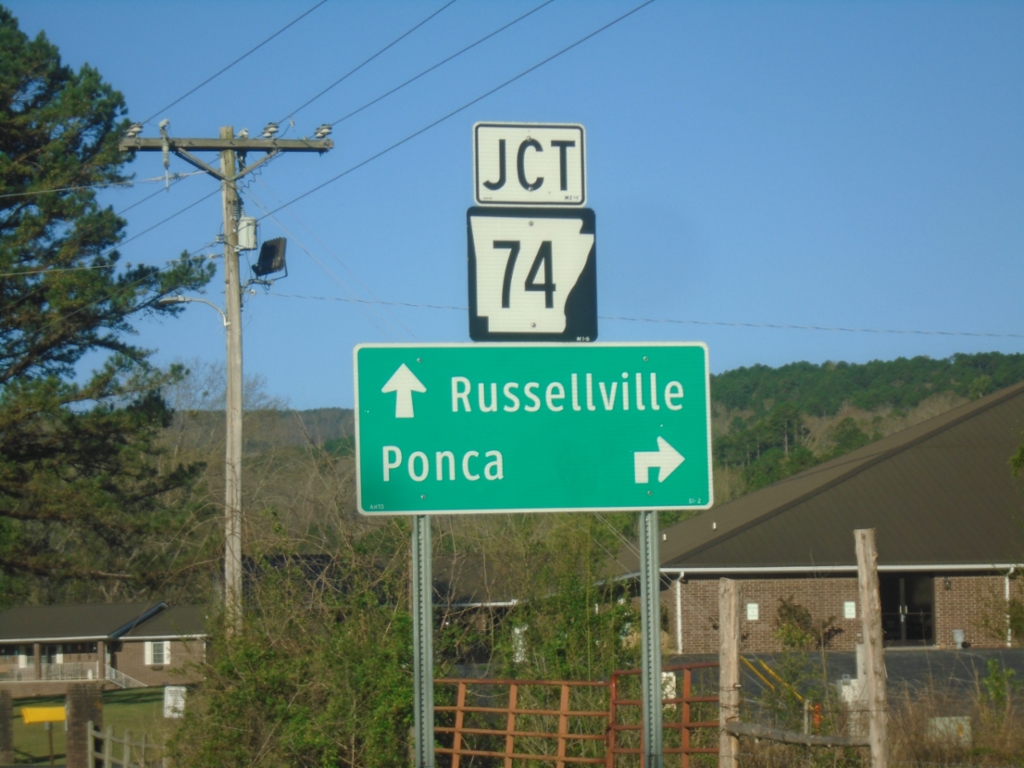
AR-7 South Approaching AR-74
AR-7 South Approaching AR-74 in Jasper. Use AR-74 West to Ponca. Continue on AR-7 South/AR-74 West to Russellville. AR-74 joins AR-7 south through Jasper.
Taken 03-28-2026
 Jasper
Newton County
Arkansas
United States
Jasper
Newton County
Arkansas
United States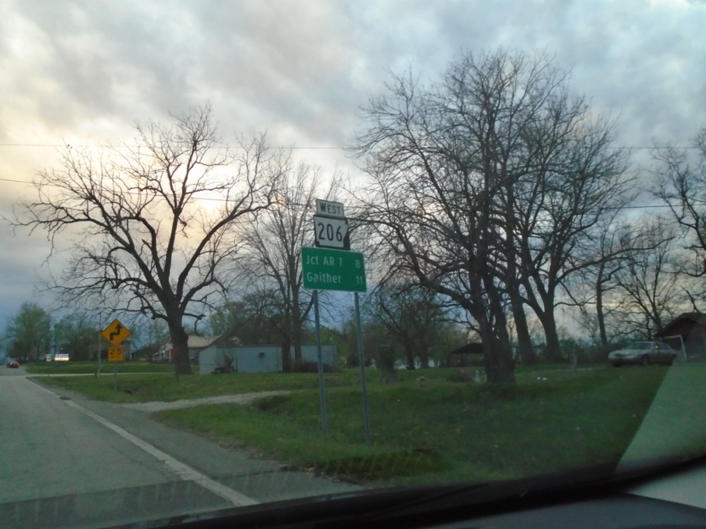
AR-206 West - Distance Marker
Distance marker on AR-206 west. Distance to Jct. AR-7 and Gaither.
Taken 03-27-2026
 Bellefonte
Boone County
Arkansas
United States
Bellefonte
Boone County
Arkansas
United States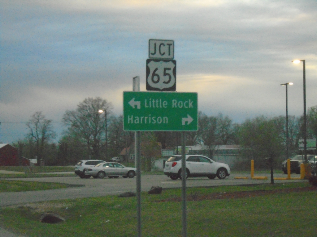
US-62/US-412 West at US-65
US-62/US-412 West at US-65. Use US-65 North/US-62/US-412 West to Harrison; US-65 South to Little Rock.
Taken 03-27-2026


 Harrison
Boone County
Arkansas
United States
Harrison
Boone County
Arkansas
United States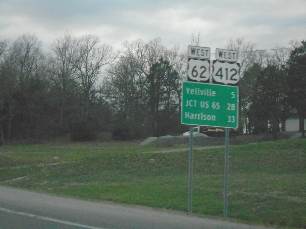
US-62/US-412 West - Distance Marker
Distance Marker on US-62/US-412 West. Distance to Yellville, Jct. US-65, and Harrison.
Taken 03-27-2026
Flippin
Marion County
Arkansas
United States
US-62/US-412 West at AR-178
US-62/US-412 West at AR-178 to Flippin and Bull Shoals. Continue west on US-62/US-412 to Harrison.
Taken 03-27-2026
 Flippin
Marion County
Arkansas
United States
Flippin
Marion County
Arkansas
United States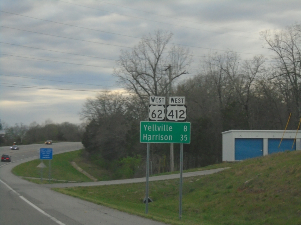
US-62/US-412 West - Distance Marker
Distance marker on US-62/US-412 West. Distance to Yellville and Harrison.
Taken 03-27-2026
Mountain Home
Baxter County
Arkansas
United States
US-62/US-412 West at Bus. US-62
US-62/US-412 West at Bus. US-62 in Mountain Home. Use US-62/US-412 West to Cotter; Bus. US-62 East to Mountain Home. This is the western end of the Mountain Home bypass.
Taken 03-27-2026
 Mountain Home
Baxter County
Arkansas
United States
Mountain Home
Baxter County
Arkansas
United States