Signs Tagged With Big Green Sign
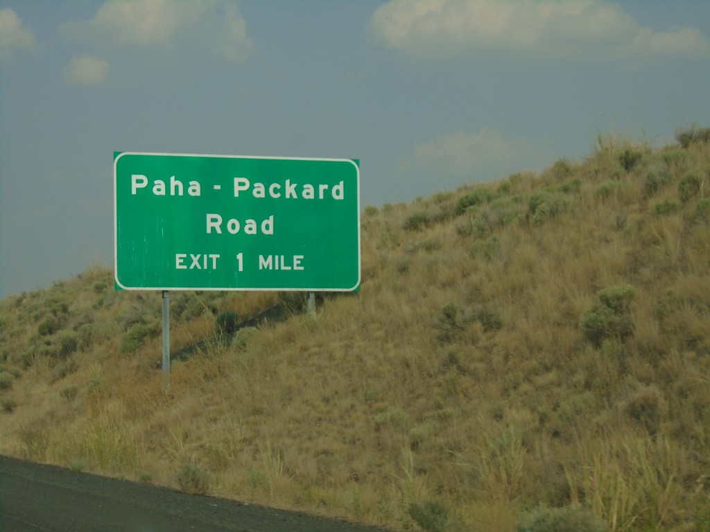
US-395 North - Paha-Packard Interchange
US-395 North approaching Paha-Packard Road interchange
Taken 08-04-2018
 Ritzville
Adams County
Washington
United States
Ritzville
Adams County
Washington
United States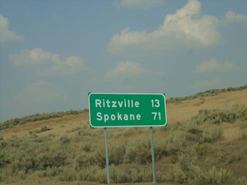
US-395 North - Distance Marker
Distance marker on US-395 north. Distance to Ritzville and Spokane.
Taken 08-04-2018
Ritzville
Adams County
Washington
United States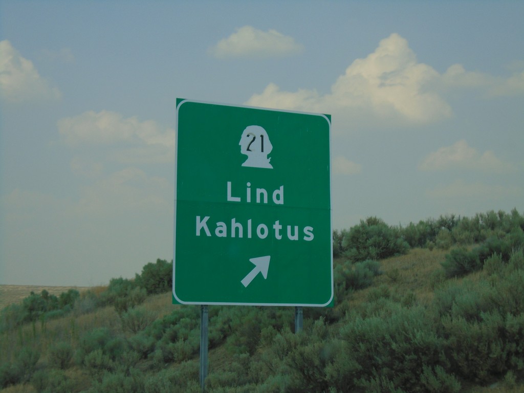
US-395 North - WA-21 Interchange
US-395 north at WA-21/Lind/Kahlotus interchange.
Taken 08-04-2018
 Ritzville
Adams County
Washington
United States
Ritzville
Adams County
Washington
United States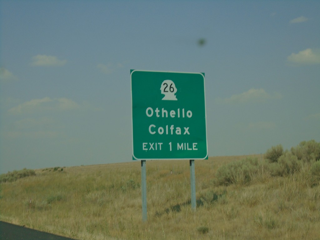
US-395 North - WA-26 Interchange
US-395 north approaching WA-26/Othello/Colfax interchange.
Taken 08-04-2018
 Lind
Adams County
Washington
United States
Lind
Adams County
Washington
United States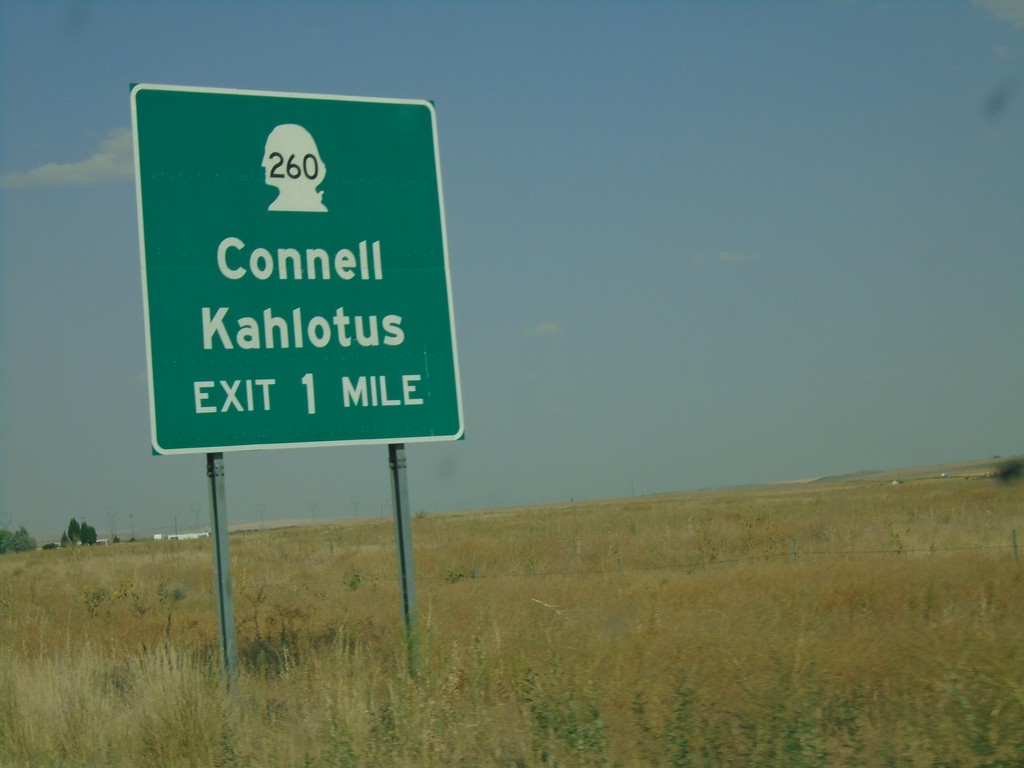
US-395 North - WA-260 Interchange
US-395 north approaching WA-260/Connell/Kahlotus.
Taken 08-04-2018
 Mesa
Franklin County
Washington
United States
Mesa
Franklin County
Washington
United States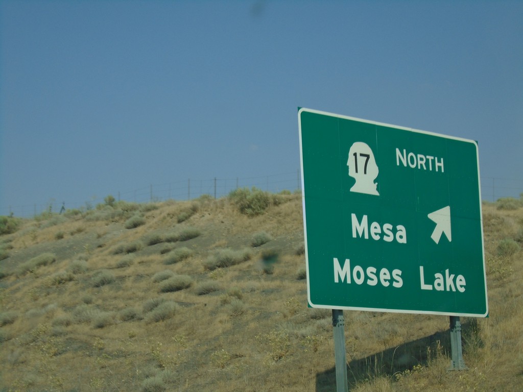
US-395 North - WA-17 Interchange
US-395 North at WA-17 North to Mesa and Moses Lake.
Taken 08-04-2018
 Mesa
Franklin County
Washington
United States
Mesa
Franklin County
Washington
United States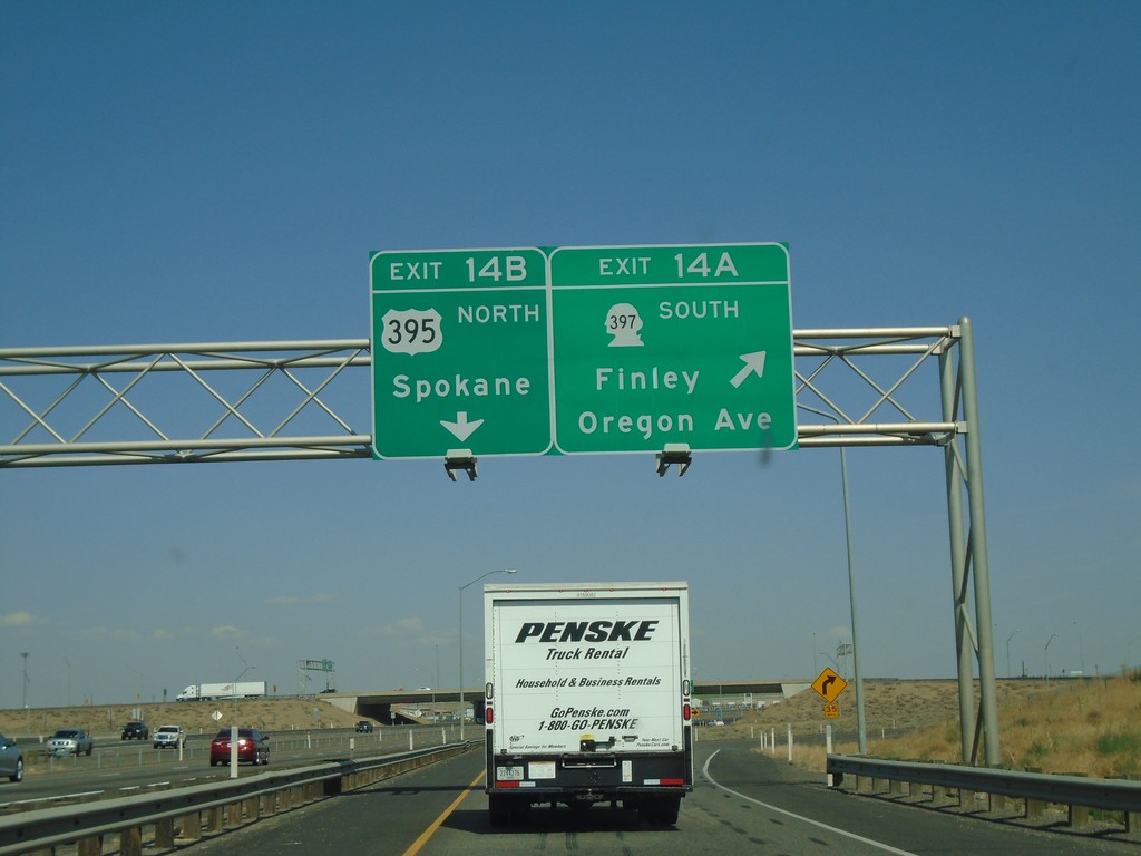
I-182 East/US-12 East - Exits 14A and 14B
I-182 East/US-12 East at Exit 14A - WA-397 South/Finley/Oregon Ave. Exit 14B - US-395 North/Spokane. US-395 northbound leaves I-182/US-12 eastbound here.
Taken 08-04-2018


 Pasco
Franklin County
Washington
United States
Pasco
Franklin County
Washington
United States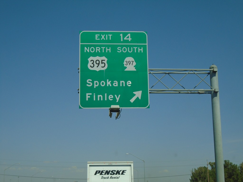
I-182 East - Exit 14
I-182/US-12 East/US-395 North - Exit 14 - US-395 North/WA-397 South/Spokane/Finley. US-395 north leaves I-182/US-12 eastbound here.
Taken 08-04-2018
Pasco
Franklin County
Washington
United States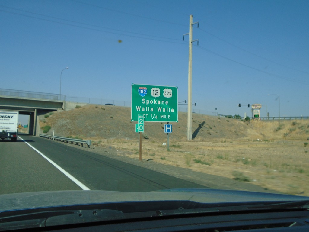
US-395 North Approaching I-182/US-12
US-395 North approaching I-182 (West)/US-12 (West) to Spokane and Walla Walla. US-395 north joins US-12 and I-182 west briefly through Pasco.
Taken 08-04-2018
Pasco
Franklin County
Washington
United States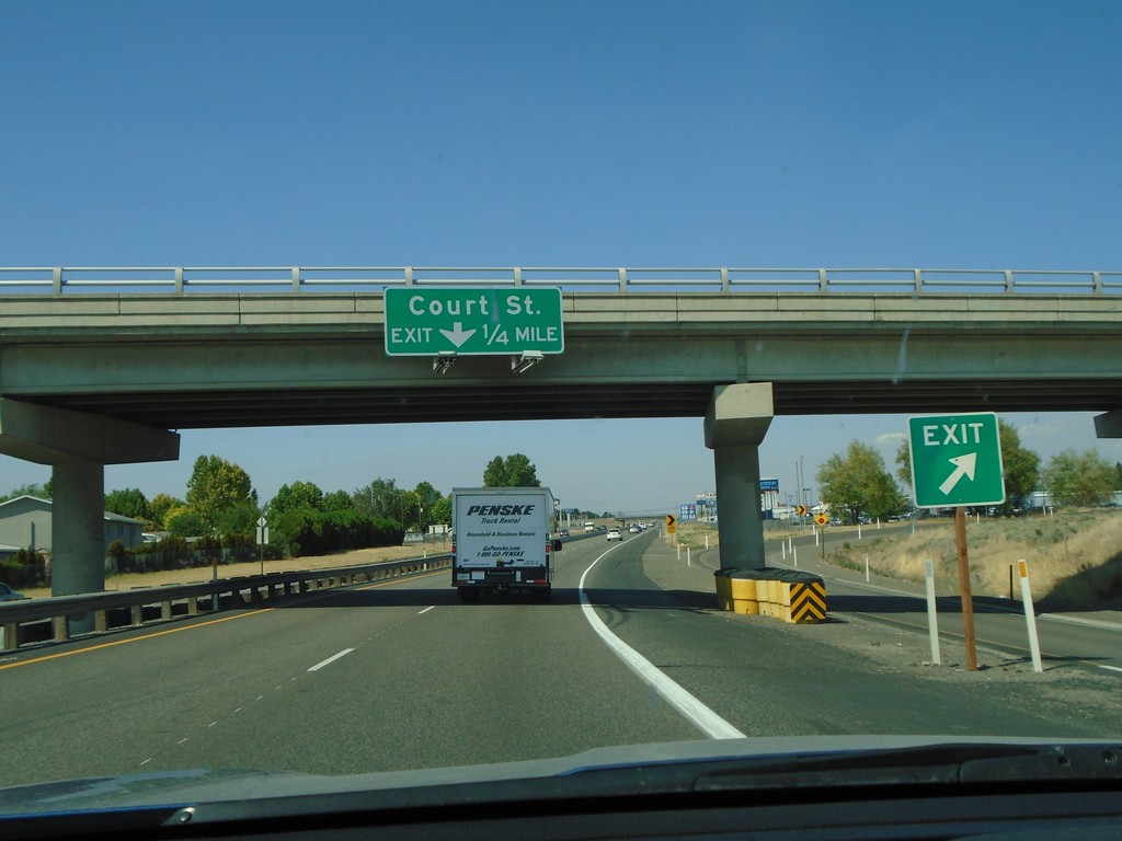
US-395 North - Court St.
US-395 north approaching Court St. in Pasco.
Taken 08-04-2018
Pasco
Franklin County
Washington
United States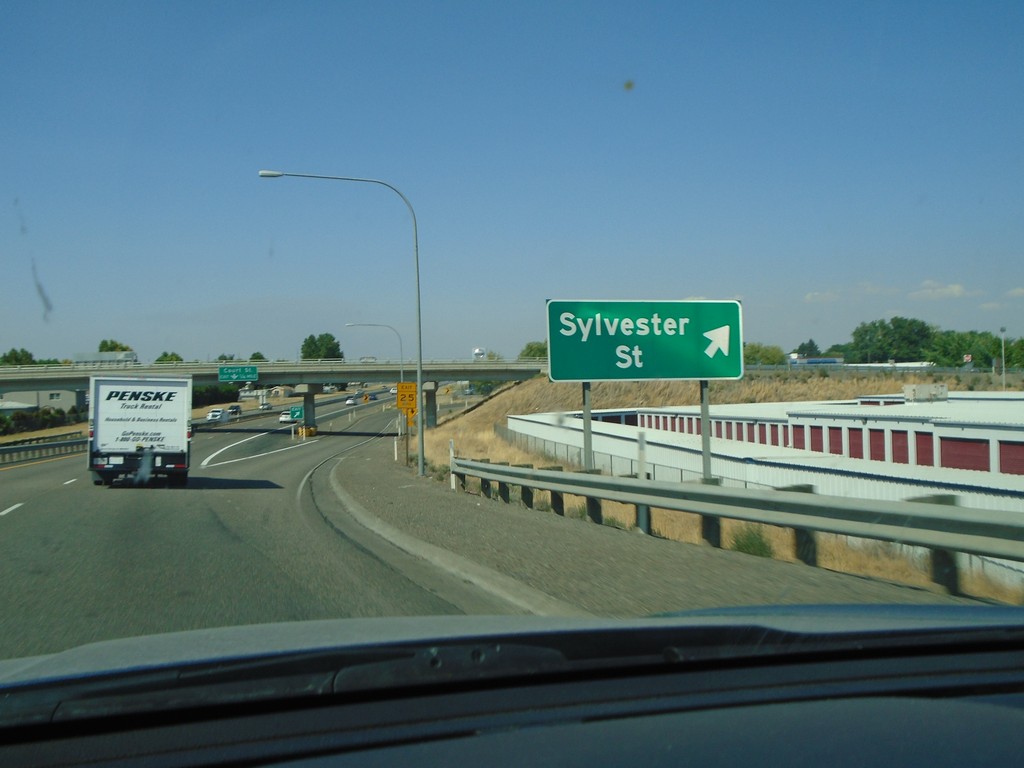
US-395 North - Sylvester St.
US-395 North at Sylvester St. interchange in Pasco.
Taken 08-04-2018
Pasco
Franklin County
Washington
United States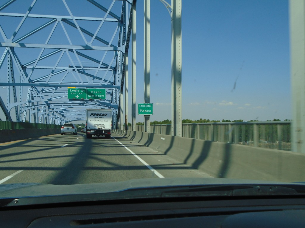
US-395 North - Entering Pasco and Franklin County
Entering Pasco and Franklin County (not signed) on US-395 north. Picture taken on the Blue Bridge over the Columbia River between Kennewick and Pasco.
Taken 08-04-2018
Kennewick
Franklin County
Washington
United States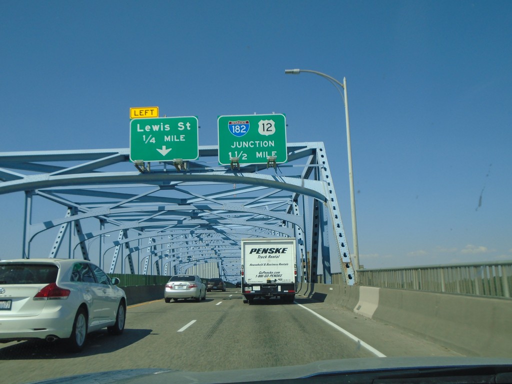
US-395 North - Blue Bridge
Crossing the Blue Bridge over the Columbia River on US-395 north from Kennewick to Pasco Washington. Approaching left exit to Lewis St. Also approaching US-12 and I-182.
Taken 08-04-2018
Kennewick
Benton County
Washington
United States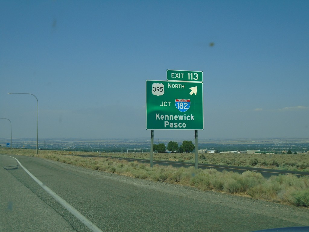
I-82 West - Exit 113
I-82 west at Exit 113 - US-395 North/Jct I-182/Kennewick/Pasco. US-395 leaves I-82 westbound.
Taken 08-04-2018
 Kennewick
Benton County
Washington
United States
Kennewick
Benton County
Washington
United States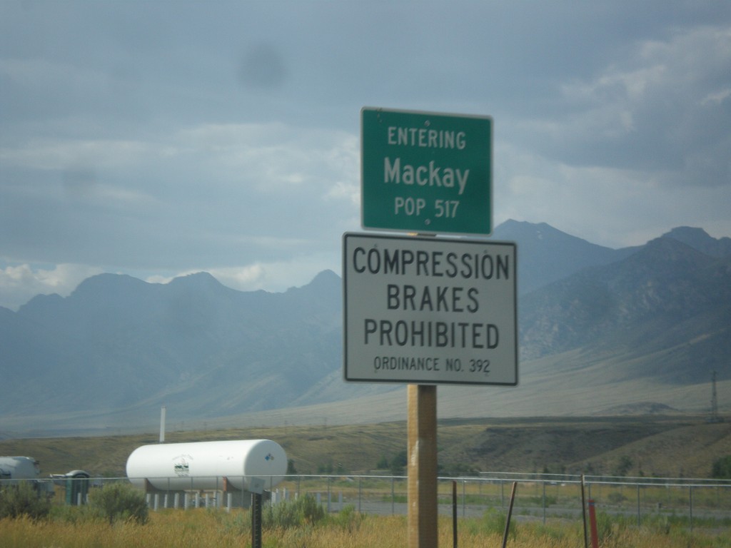
US-93 North - Mackay
Entering Mackay on US-93 north.
Taken 07-21-2018
 Mackay
Custer County
Idaho
United States
Mackay
Custer County
Idaho
United States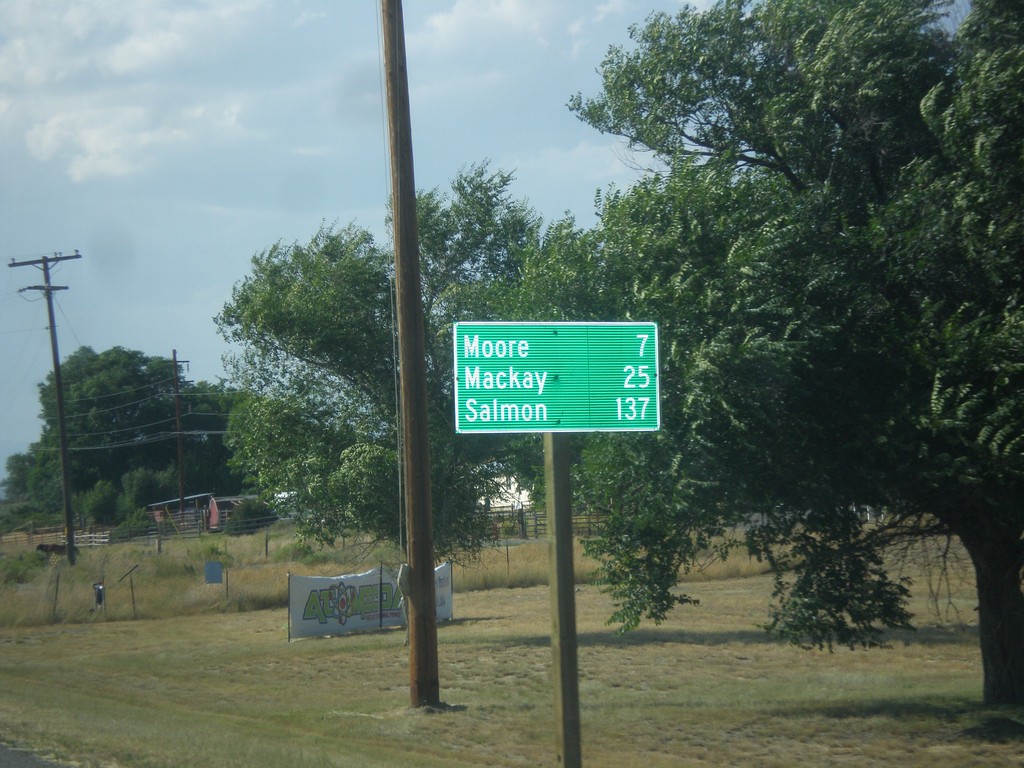
US-93 North - Distance Marker
Distance marker on US-93 north. Distance to Moore, Mackay, and Salmon.
Taken 07-21-2018
Arco
Butte County
Idaho
United States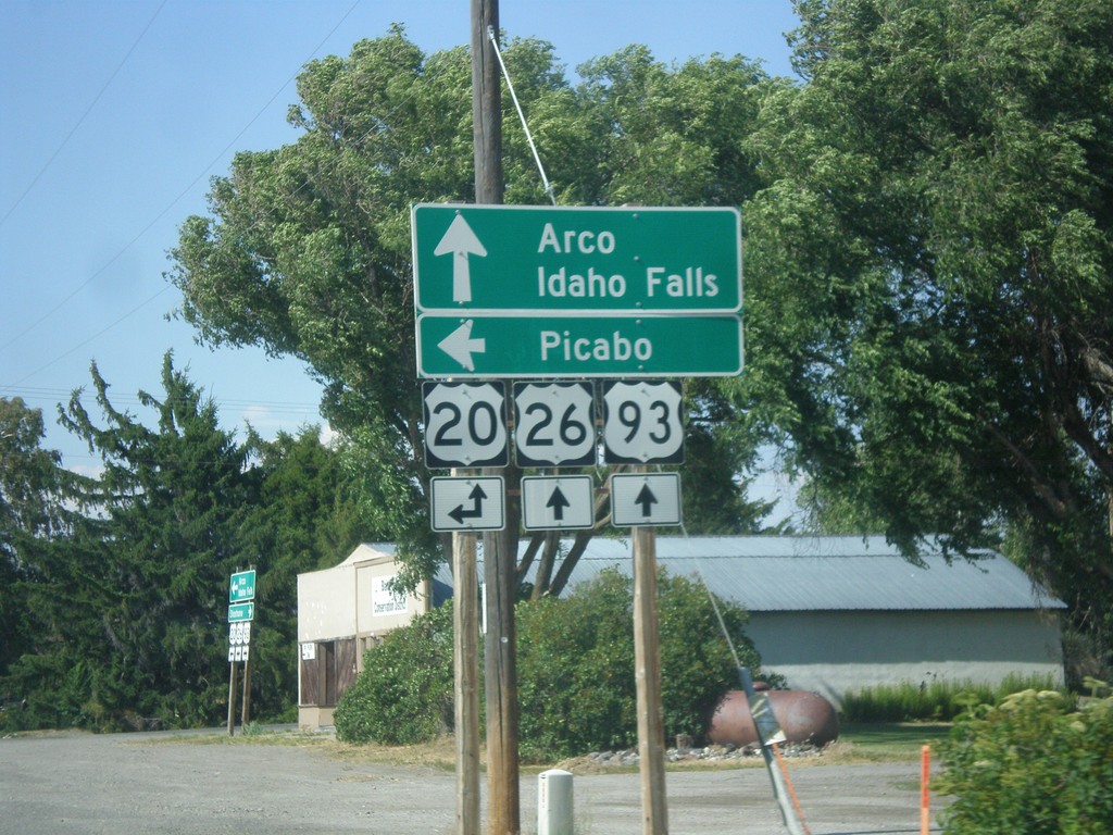
US-26 East/US-93 North at US-20
US-26 East/US-93 North at US-20 in Carey. Turn left for US-20 west to Picabo. Continue straight for US-20 East/US-26 East/US-93 North to Arco and Idaho Falls.
Taken 07-21-2018

 Carey
Blaine County
Idaho
United States
Carey
Blaine County
Idaho
United States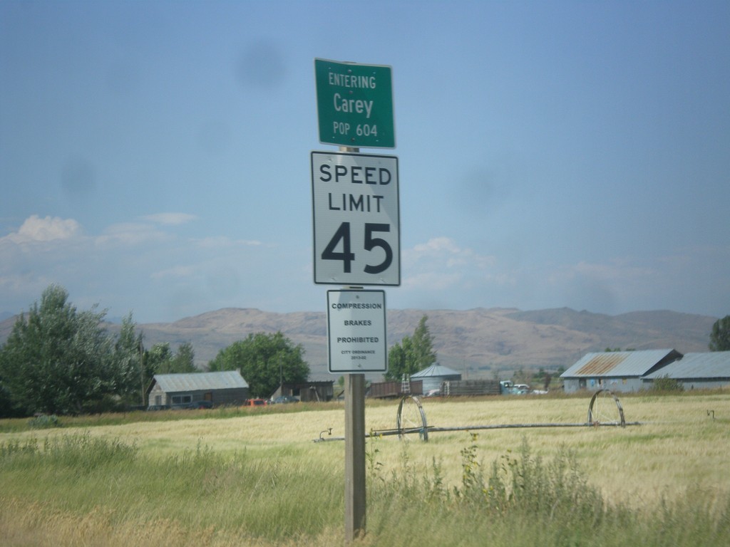
US-26 East/US-93 North - Entering Carey
Entering Carey on US-26 East/US-93 North.
Taken 07-21-2018
Carey
Blaine County
Idaho
United States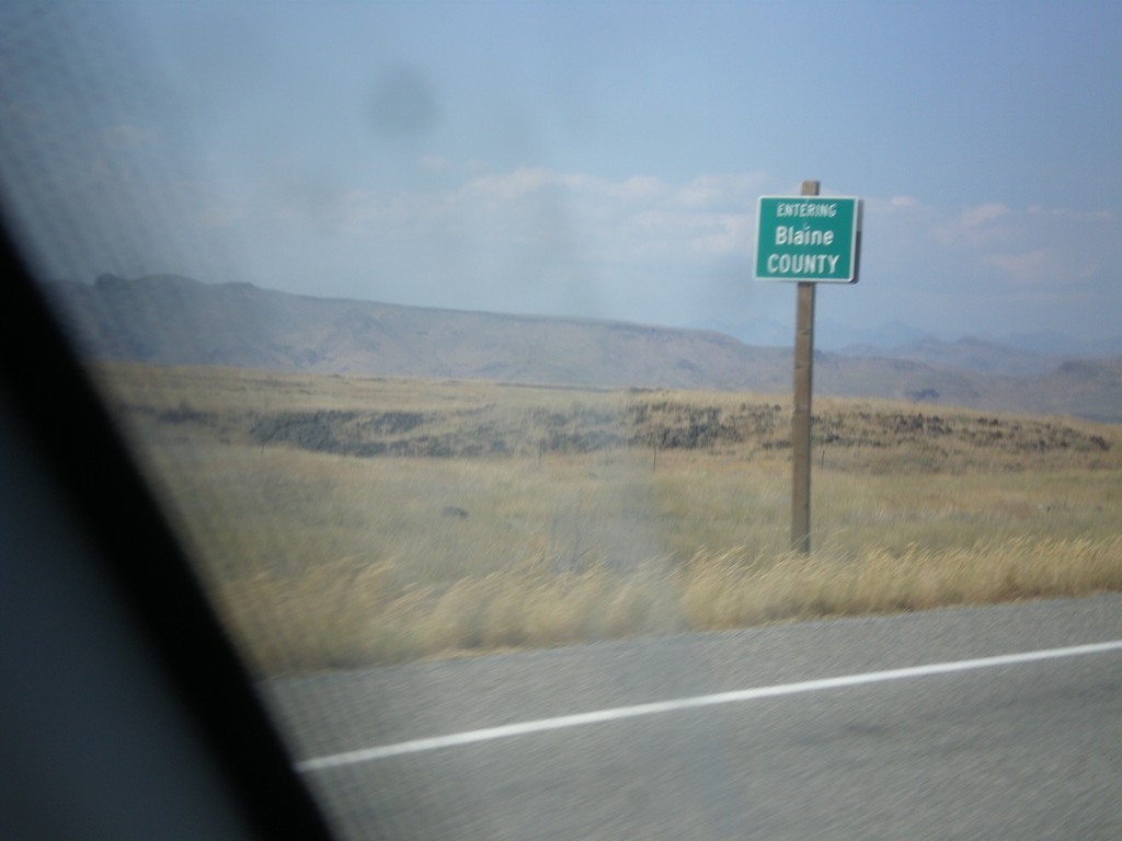
US-26 East/US-93 North - Blaine County
Entering Blane County on US-26 East/US-93 North.
Taken 07-21-2018
Carey
Blaine County
Idaho
United States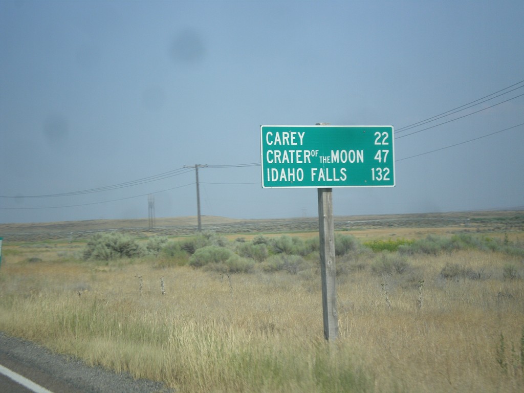
US-26 East/US-93 North - Distance Marker
Distance Marker on US-26 East/US-93 North. Distance to Carey, Craters of the Moon, and Idaho Falls.
Taken 07-21-2018
Richfield
Lincoln County
Idaho
United States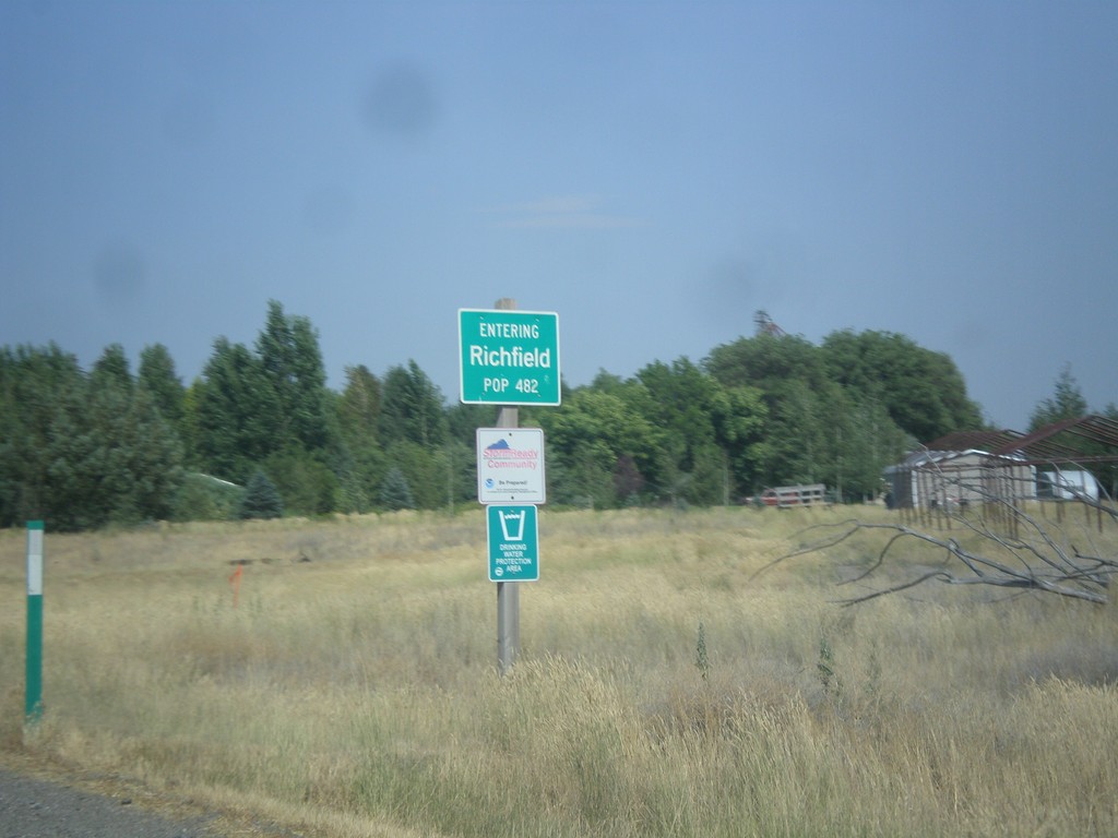
US-26 East/US-93 North - Richfield
Entering Richfield on US-26 East/US-93 North.
Taken 07-21-2018
Richfield
Lincoln County
Idaho
United States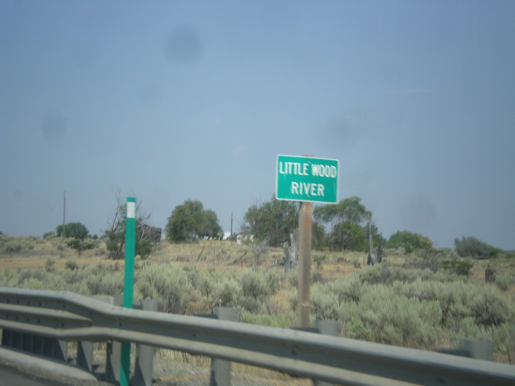
US-26 East/US-93 North - Little Wood River
Little Wood River bridge on US-26 East/US-93 north.
Taken 07-21-2018
Marley
Lincoln County
Idaho
United States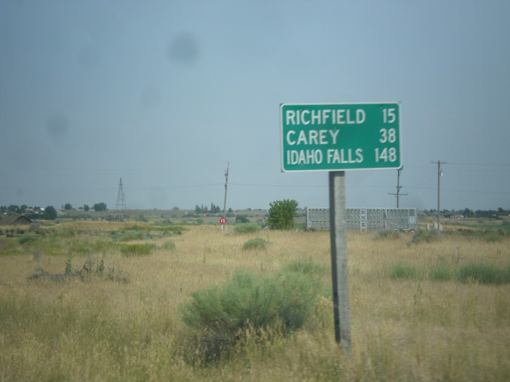
US-93 North/US-26 East - Distance Marker
Distance Marker on US-93 North/US-26 East. Distance to Richfield, Carey, and Idaho Falls.
Taken 07-21-2018
Shoshone
Lincoln County
Idaho
United States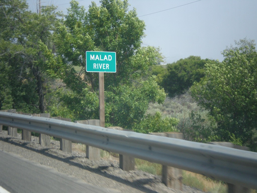
US-26 East - Malad River
Malad River bridge on US-26 east.
Taken 07-21-2018
Gooding
Gooding County
Idaho
United States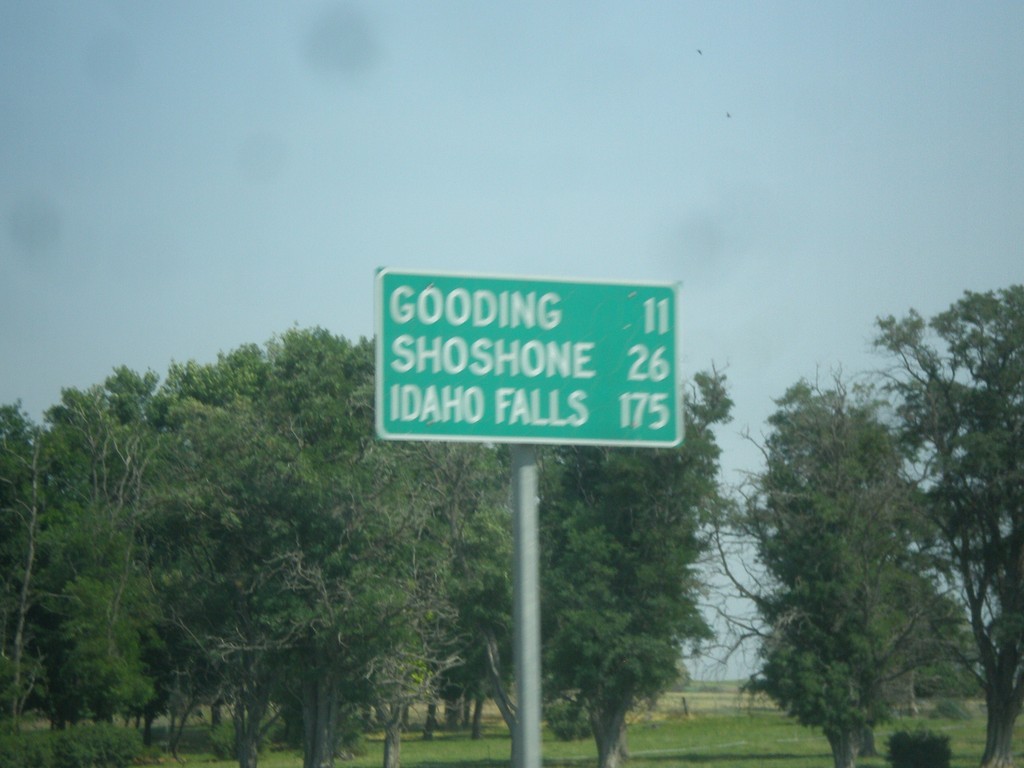
US-26 East - Distance Marker
Distance Marker on US-26 east. Distance to Gooding, Shoshone, and Idaho Falls.
Taken 07-21-2018
Bliss
Gooding County
Idaho
United States