Signs Tagged With Big Green Sign
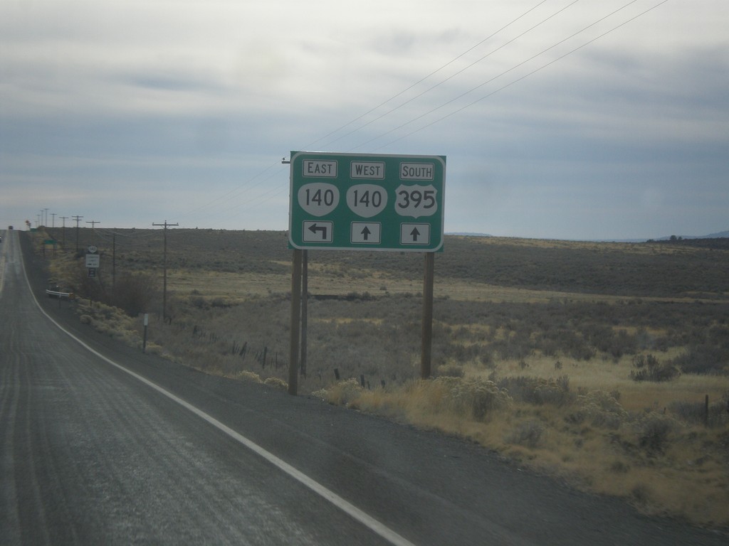
US-395 South Approaching OR-140
US-395 south approaching OR-140. OR-140 west joins US-395 south into Lakeview.
Taken 11-19-2017

 Lakeview
Lake County
Oregon
United States
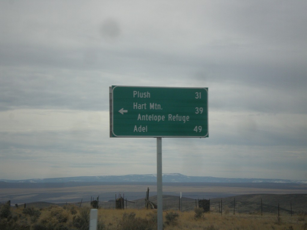
US-395 South - Hogback Road Jct.
US-395 South at Hogback Road Jct. Use Hogback Road for Plush, Hart Mountain Antelope Refuge, and Adel.
Taken 11-19-2017
 Lake County
Oregon
United States
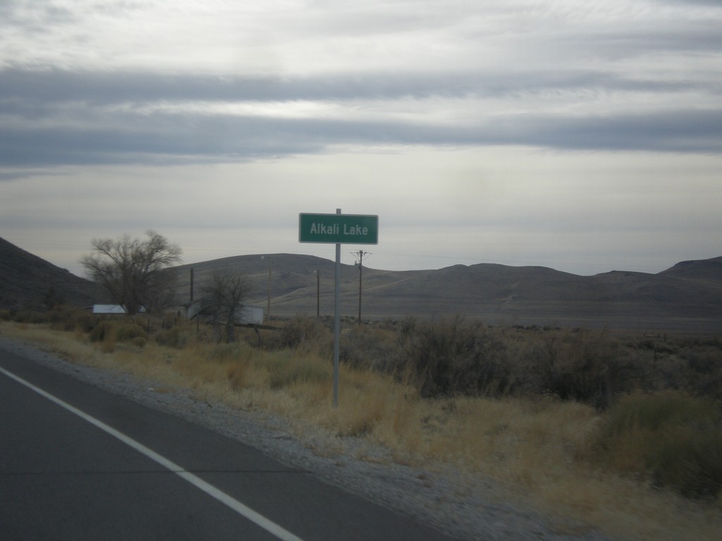
US-395 South - Alkali Lake
Entering Alkali Lake on US-395 south. Alkali Lake is home to a state rest area and a state highway maintenance station.
Taken 11-19-2017
 Lakeview
Lake County
Oregon
United States
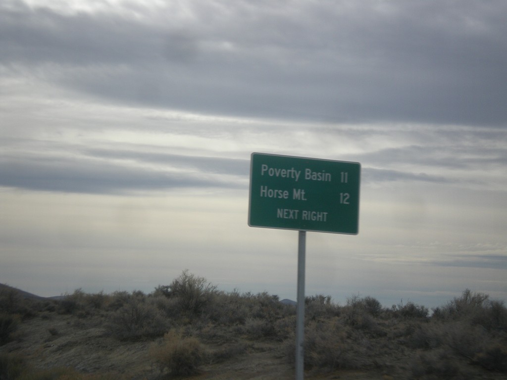
US-395 South - Horse Mountain Road
US-395 South approaching Horse Mountain Road to Horse Mountain and Poverty Basin.
Taken 11-19-2017
 Lakeview
Lake County
Oregon
United States
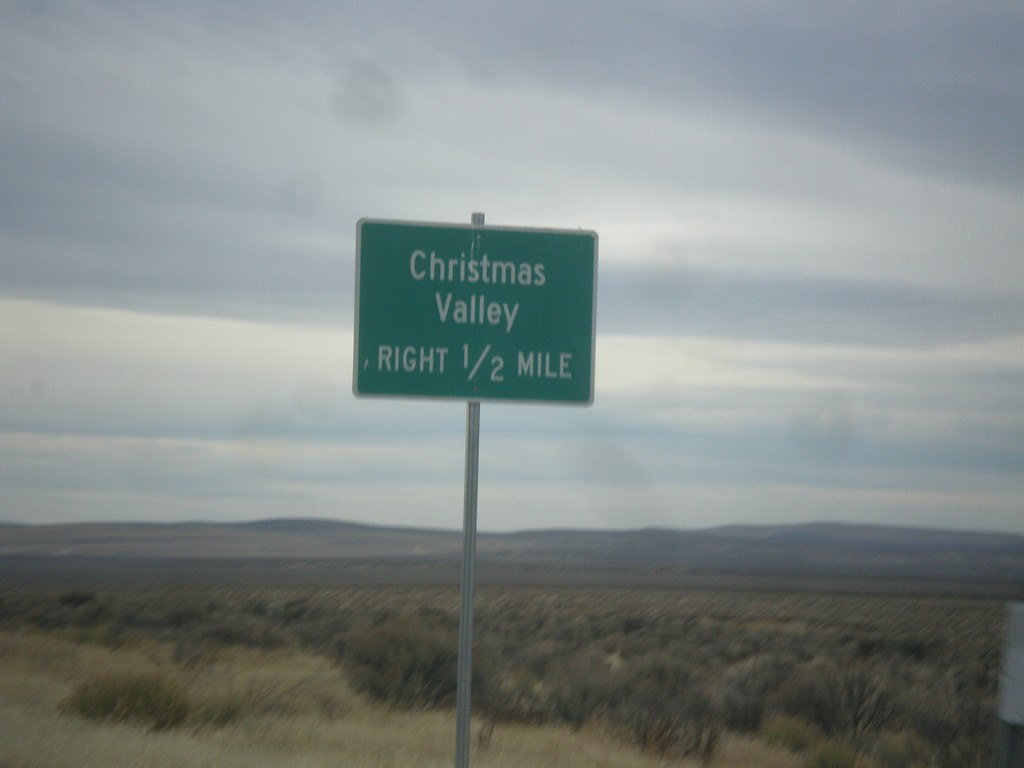
US-395 South Approaching Christmas Valley Junction
US-395 South approaching Christmas Valley junction in Lake County.
Taken 11-19-2017
 Wagontire
Harney County
Oregon
United States
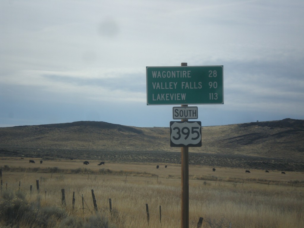
US-395 South - Distance Marker
Distance marker on US-395 south. Distance to Wagontire, Valley Falls, and Lakeview.
Taken 11-19-2017
 Riley
Harney County
Oregon
United States
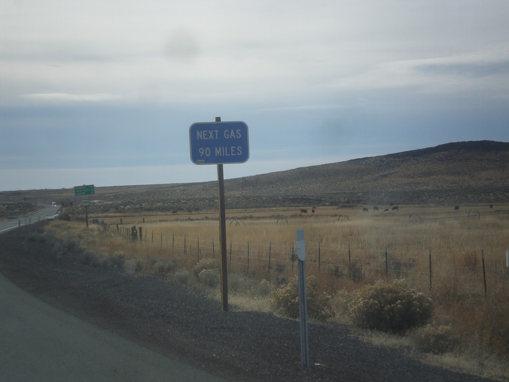
US-395 South - Next Gas 90 Miles
Next Gas 90 Miles on US-395 south. The next gas in this case is in Valley Falls. These types of signs are common in eastern Oregon after leaving a settlement with a gas pump.
Taken 11-19-2017
 Riley
Harney County
Oregon
United States
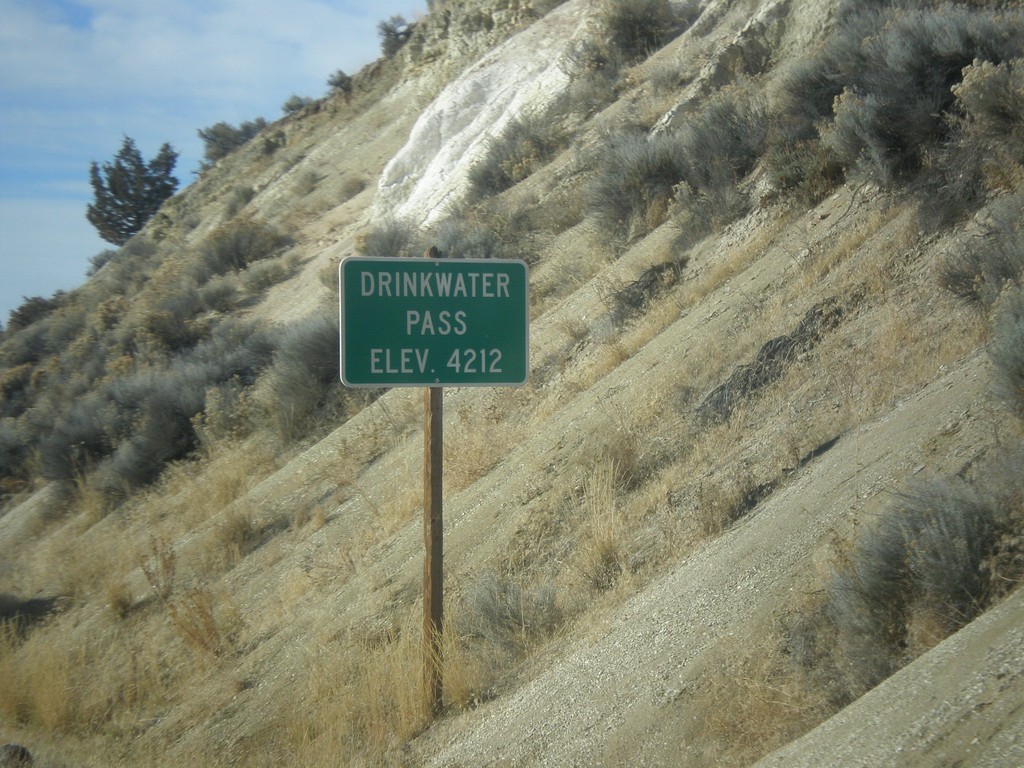
US-20 West - Drinkwater Pass
Drinkwater Pass - Elevation 4212 Feet on US-20 West.
Taken 11-19-2017
 Drewsey
Harney County
Oregon
United States
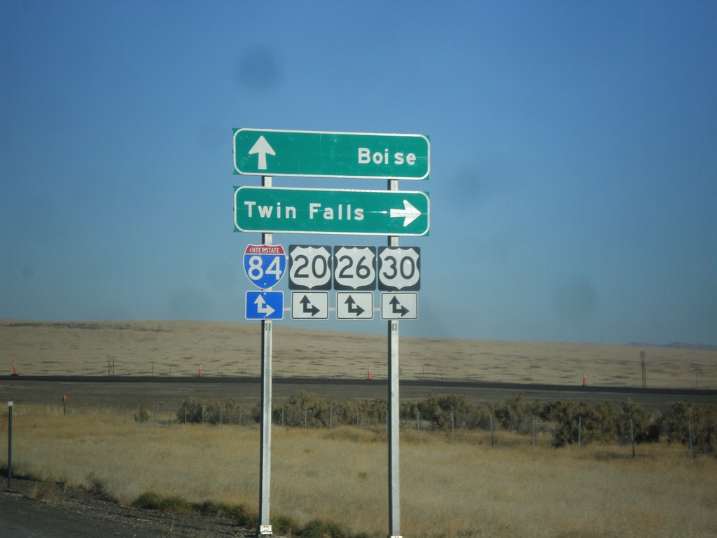
End BL-84 East at I-84 (Exit 90)
End BL-84 east at I-84, Exit 90 onramps. Use I-84/US-20/US-26/US-30 east for Twin Falls; use I-84/US-20/US-26/US-30 west for Boise. This is the western end of the Mountain Home business loop.
Taken 10-29-2017


 Mountain Home
Elmore County
Idaho
United States
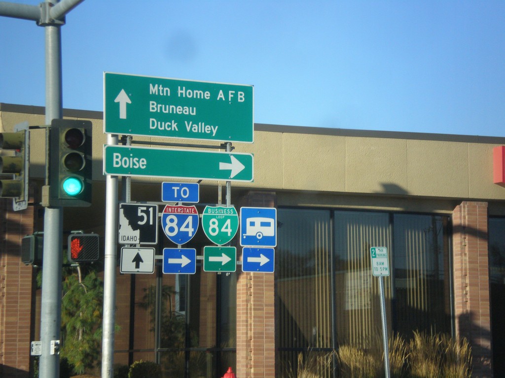
BL-84 West at ID-51 - Mountain Home
BL-84 west at ID-51 in Mountain Home (American Legion Blvd. at N 2nd E). Turn right on N 2nd E to continue west on BL-84 and for I-84 and Boise. Continue straight for ID-51 south to Mountain Home AFB, Bruneau, and Duck Valley (Indian Reservation).
Taken 10-29-2017


 Mountain Home
Elmore County
Idaho
United States
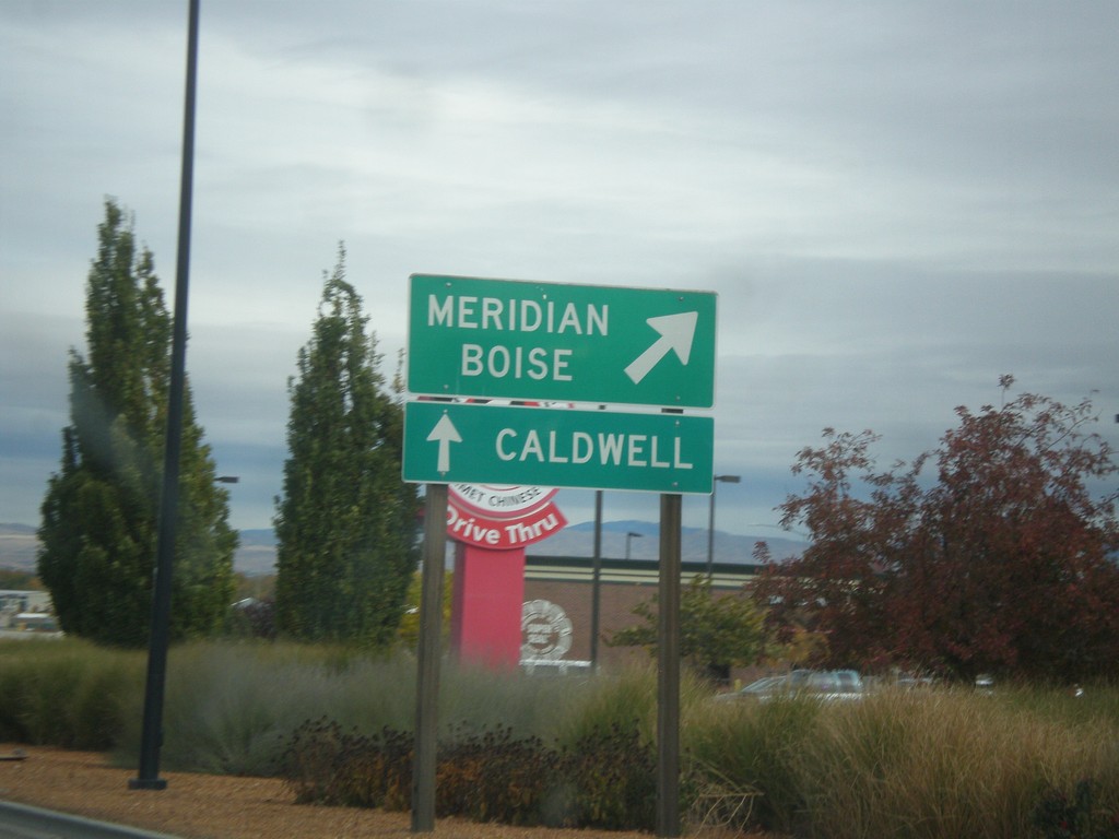
End BL-84 East at I-84/US-30/ID-55
End BL-84 East at I-84/US-30/ID-55 in Nampa. Merge right for I-84/US-30 East and ID-55 north to Meridian and Boise; continue under freeway for I-84/US-30 West and ID-55 south to Caldwell.
Taken 10-22-2017


 Nampa
Canyon County
Idaho
United States
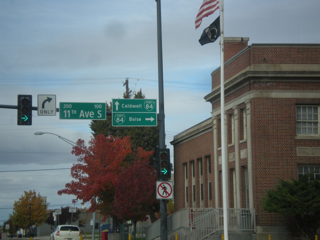
End ID-45 North at BL-84
End ID-45 North at BL-84 in Nampa. Turn right on 11th Ave. South for BL-84 east to Boise. Continue straight on 2nd St. South for BL-84 west to Caldwell.
Taken 10-22-2017

 Nampa
Canyon County
Idaho
United States
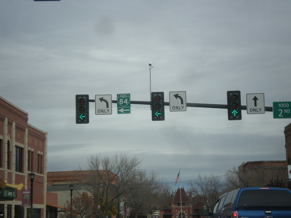
ID-45 North (12th Ave S) at 2nd St. South
ID-45 North (12th Ave S) at 2nd St. South in downtown Nampa. Turn left to continue north on ID-45 and for BL-84.
Taken 10-22-2017

 Nampa
Canyon County
Idaho
United States
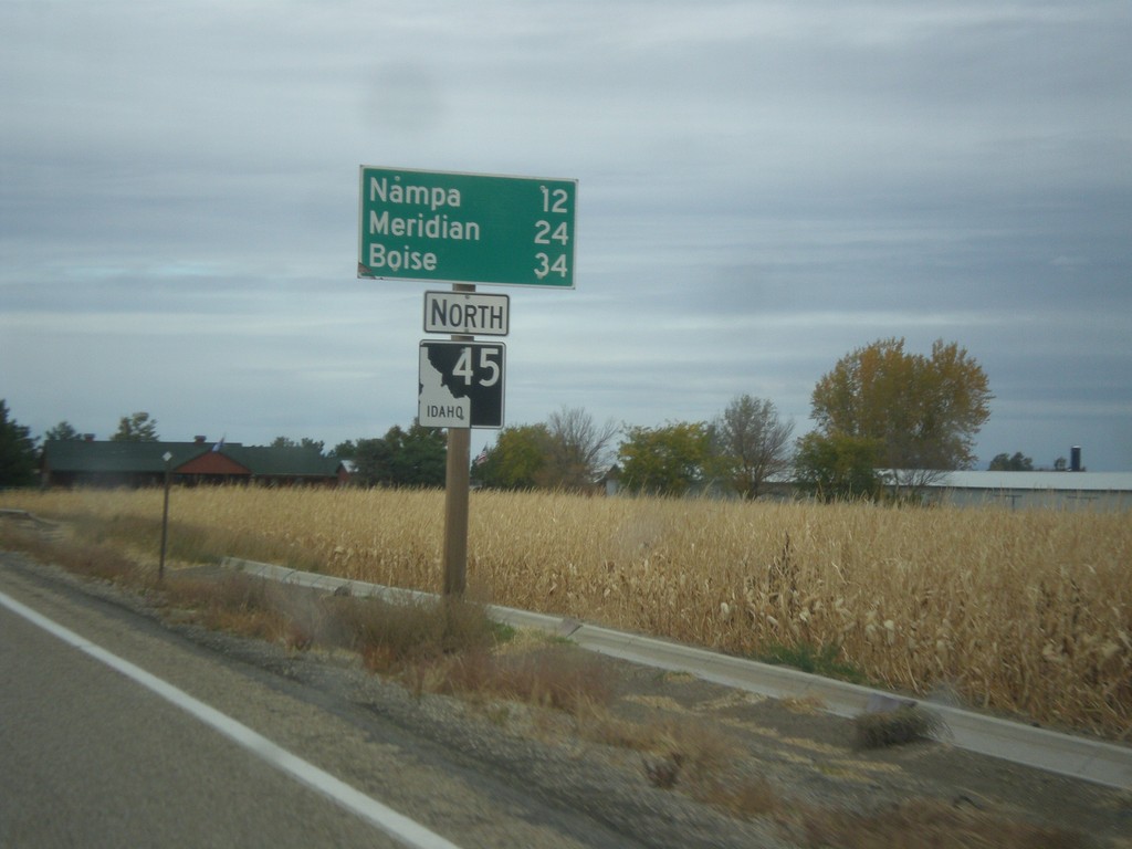
ID-45 North - Distance Marker
Distance maker on ID-45 north. Distance to Nampa, Meridian, and Boise.
Taken 10-22-2017
 Melba
Canyon County
Idaho
United States
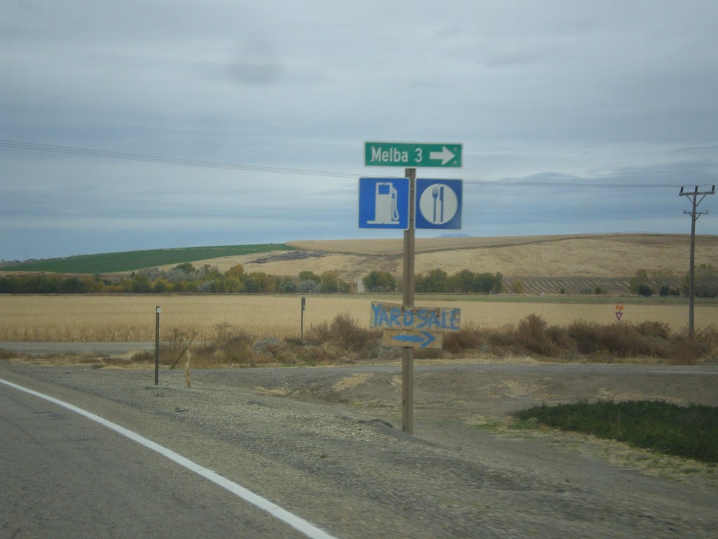
ID-45 North - Melba Junction
ID-45 north at Melba Road east to Melba.
Taken 10-22-2017
 Melba
Canyon County
Idaho
United States
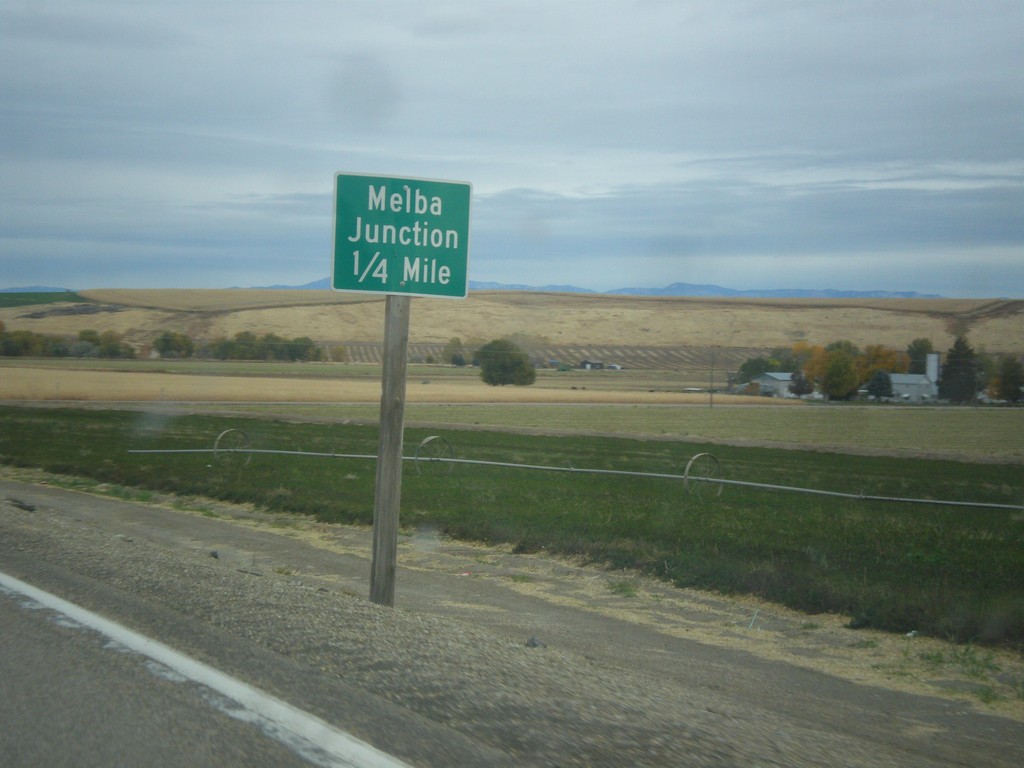
ID-45 North - Melba Junction
ID-45 north approaching Melba Road.
Taken 10-22-2017
 Melba
Canyon County
Idaho
United States
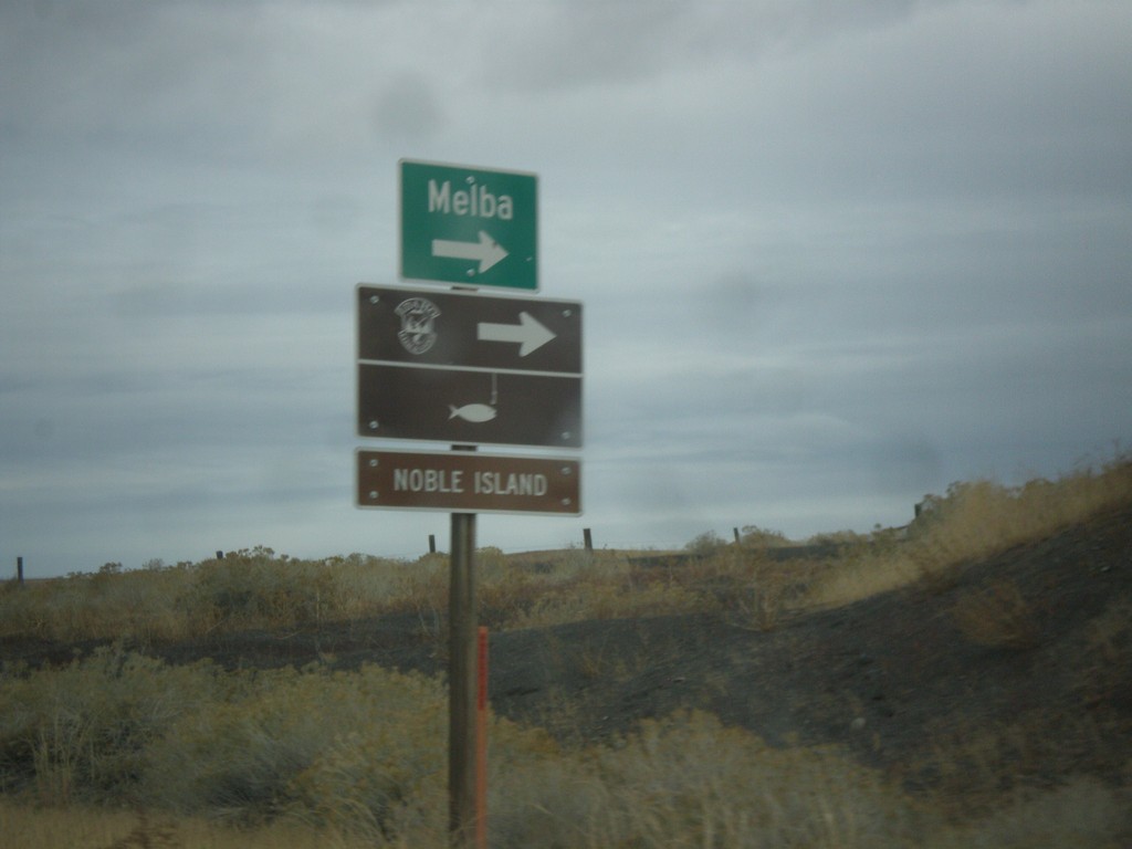
ID-45 North - Melba
ID-45 North at Ferry Road junction to Melba. Also turn right for Noble Island fishing access.
Taken 10-22-2017
 Melba
Canyon County
Idaho
United States
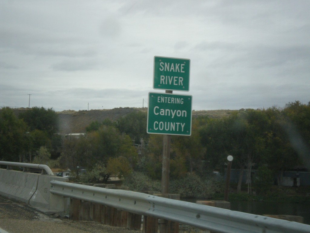
ID-45 North - Canyon County / Snake River
Entering Canyon County on ID-45 north at the Snake River bridge.
Taken 10-22-2017
 Melba
Canyon County
Idaho
United States
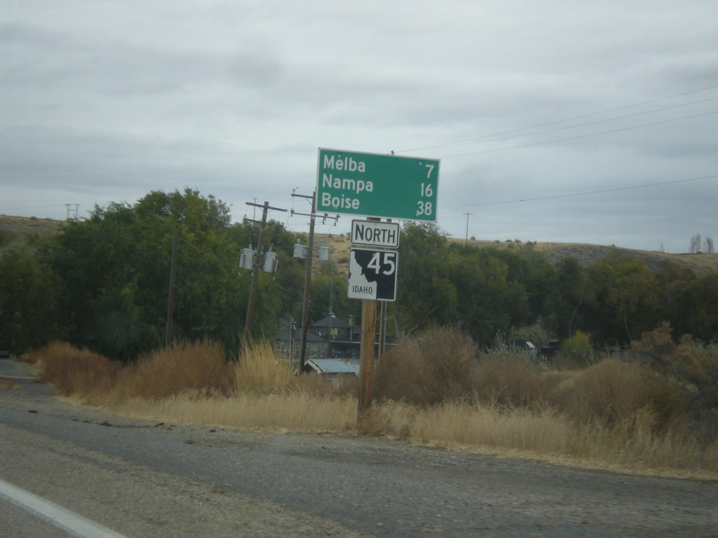
ID-45 North - Distance Marker
Distance marker on ID-45 north. Distance to Melba, Nampa, and Boise.
Taken 10-22-2017
 Melba
Owyhee County
Idaho
United States
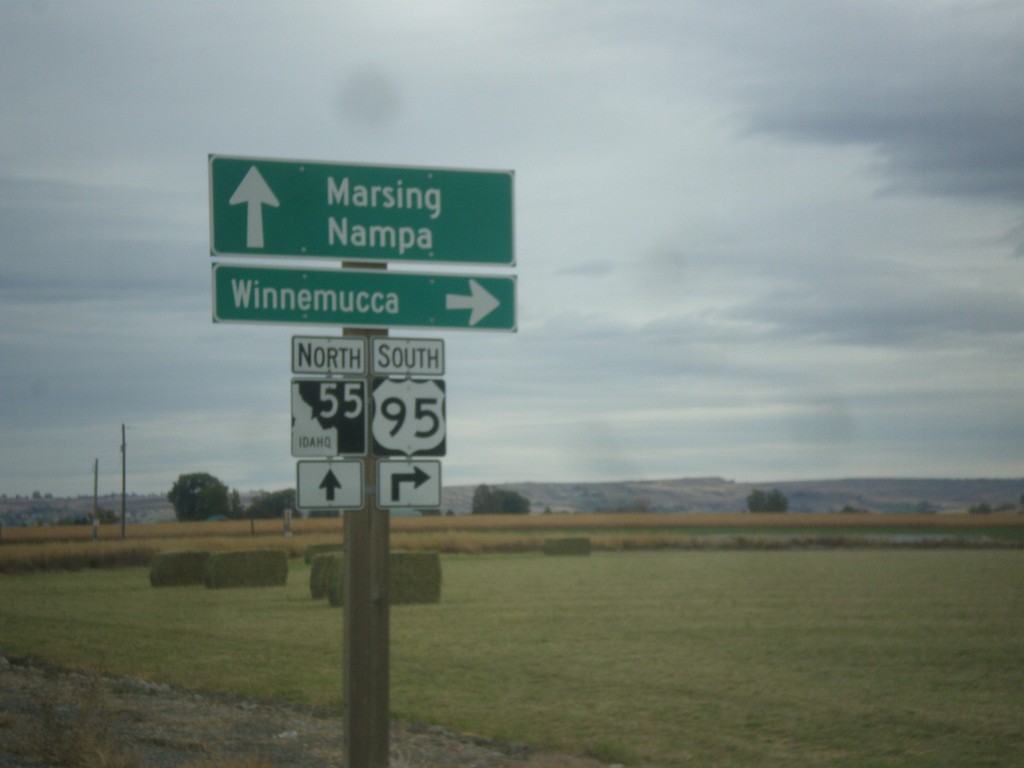
US-95 South Approaching ID-55
US-95 south approaching ID-55. Turn right to continue south on US-95 to Winnemucca (Nevada); straight for ID-55 north to Marsing and Nampa.
Taken 10-22-2017

 Marsing
Owyhee County
Idaho
United States
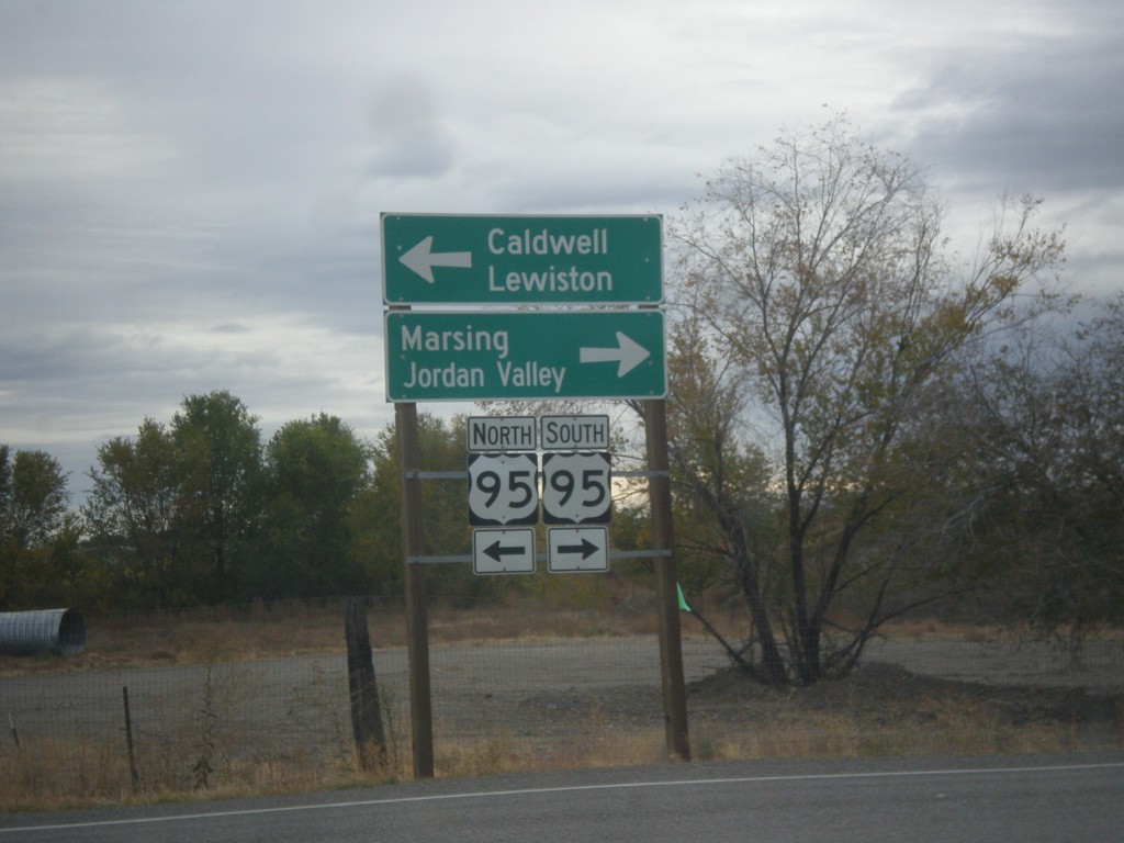
Main St. South at US-95
Main St. South at US-95 in Homedale. Turn left for US-95 north to Caldwell and Lewiston. Turn right for US-95 south to Marsing and Jordan Valley (Oregon).
Taken 10-22-2017
 Homedale
Owyhee County
Idaho
United States
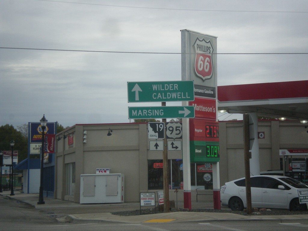
ID-19 East at US-95 in Homedale
ID-19 East at US-95 in Homedale. Turn right for US-95 south to Marsing. Continue straight for US-95 North/ID-19 East to Caldwell and Wilder.
Taken 10-22-2017

 Homedale
Owyhee County
Idaho
United States
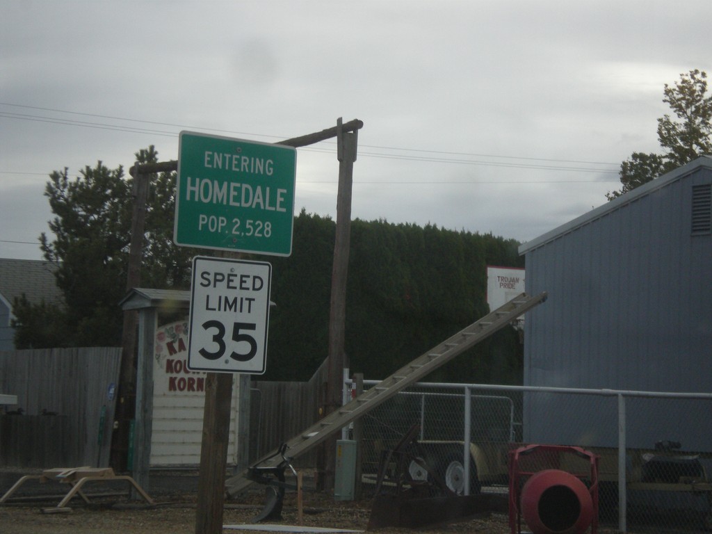
ID-19 East - Entering Homedale
Entering Homedale on ID-19 east. Homedale is the largest city on Owyhee County.
Taken 10-22-2017
 Homedale
Owyhee County
Idaho
United States
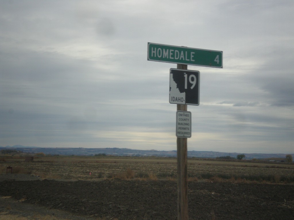
ID-19 East - Distance Marker
Distance marker on ID-19 east. Distance to Homedale.
Taken 10-22-2017
 Homedale
Owyhee County
Idaho
United States
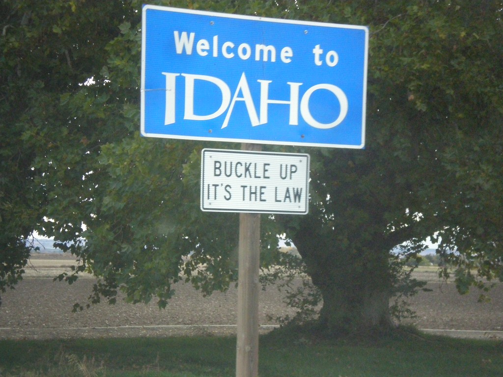
ID-19 East - Welcome To Idaho
Welcome To Idaho on ID-19 east.
Taken 10-22-2017
 Homedale
Owyhee County
Idaho
United States