Signs Tagged With Big Green Sign
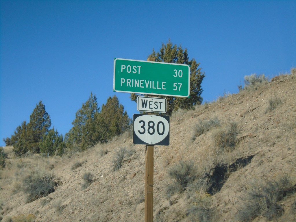
OR-380 West - Distance Marker
Distance marker on OR-380 west. Distance to Post and Prineville. This is the first OR-380 shield on OR-380 westbound.
Taken 10-13-2018
 Paulina
Crook County
Oregon
United States
Paulina
Crook County
Oregon
United States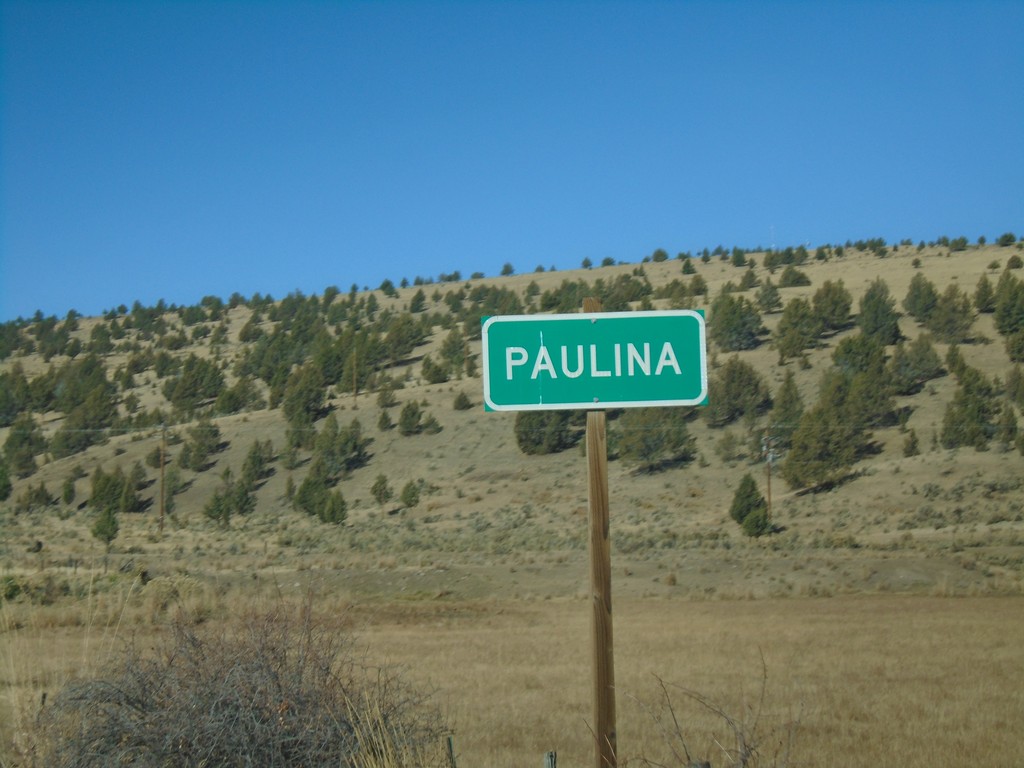
Being OR-380 West - Paulina
Entering Paulina Oregon at the beginning of OR-380 West.
Taken 10-13-2018
Paulina
Crook County
Oregon
United States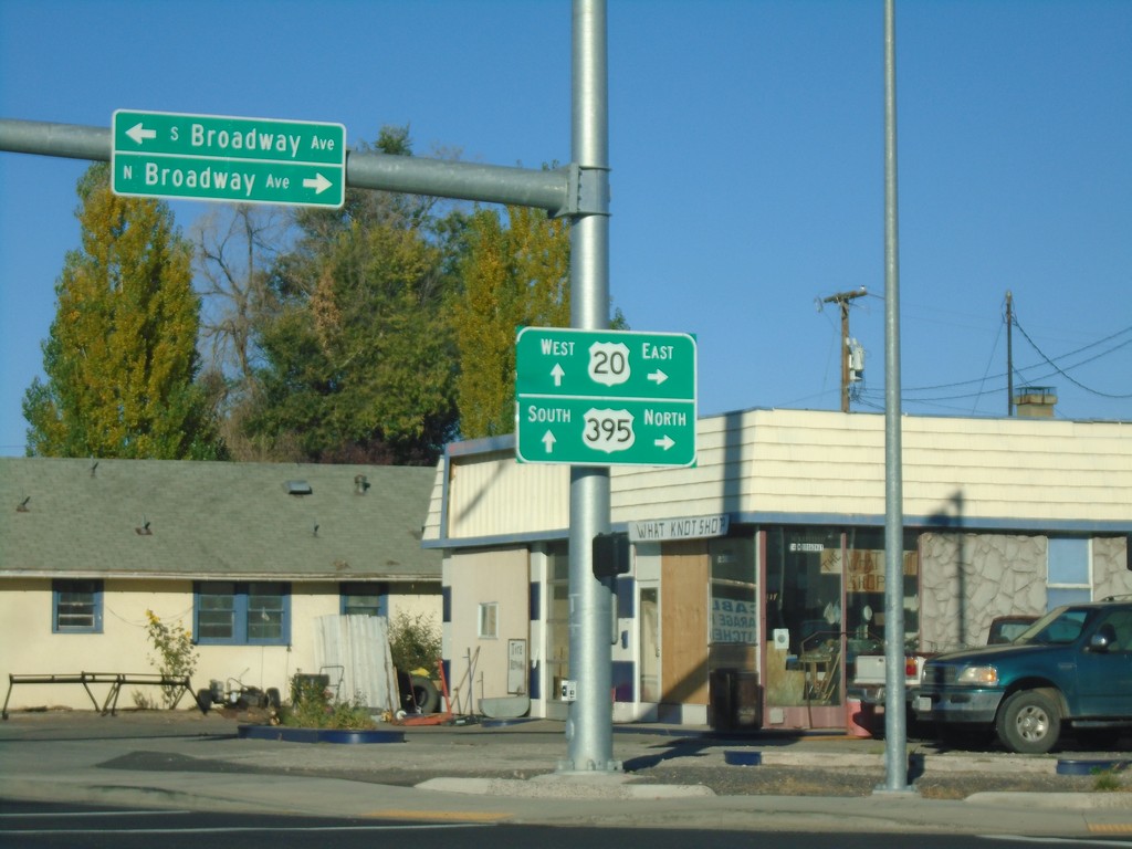
End OR-78 at US-20/US-395
End OR-78 at US-20/US-395 in Burns. Turn right for US-20 East/US-395 North; continue straight for US-20 West/US-395 South.
Taken 10-13-2018


 Burns
Harney County
Oregon
United States
Burns
Harney County
Oregon
United States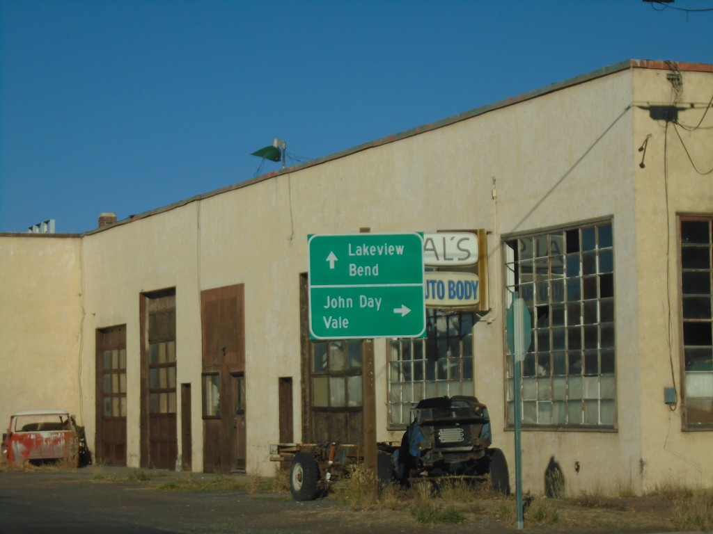
OR-78 West Approaching US-20/US-395
OR-78 West Approaching US-20/US-395 in Burns. Turn right for US-20 East/US-395 North to John Day (via US-395) and Vale (via US-20). Continue straight for US-20 West/US-395 South to Lakeview (via US-395) and Bend (via US-20).
Taken 10-13-2018
Burns
Harney County
Oregon
United States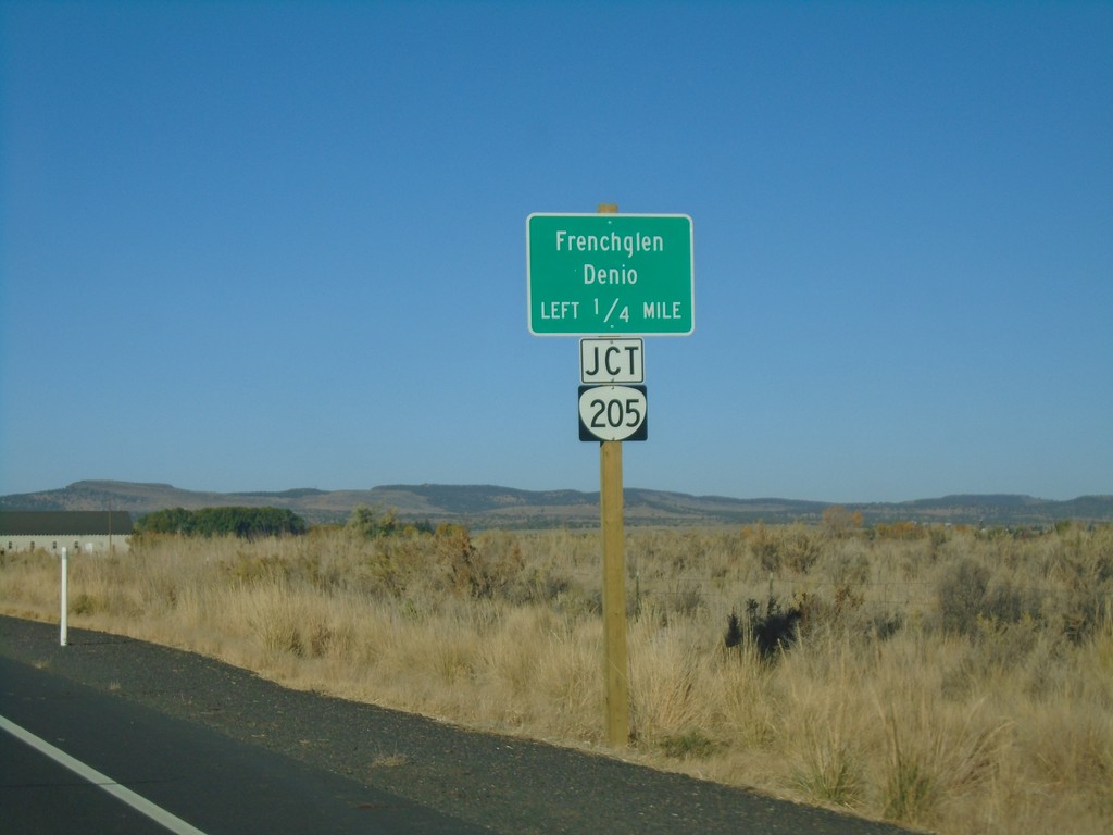
OR-78 West Approaching OR-205
OR-78 West approaching OR-205 south to Frenchglen and Denio (Nevada).
Taken 10-13-2018
 Burns
Harney County
Oregon
United States
Burns
Harney County
Oregon
United States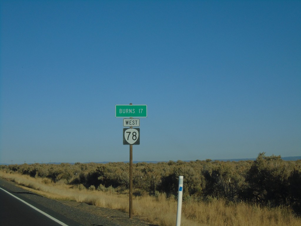
OR-78 West - Distance Marker
Distance marker on OR-78 west. Distance to Burns.
Taken 10-13-2018
Burns
Harney County
Oregon
United States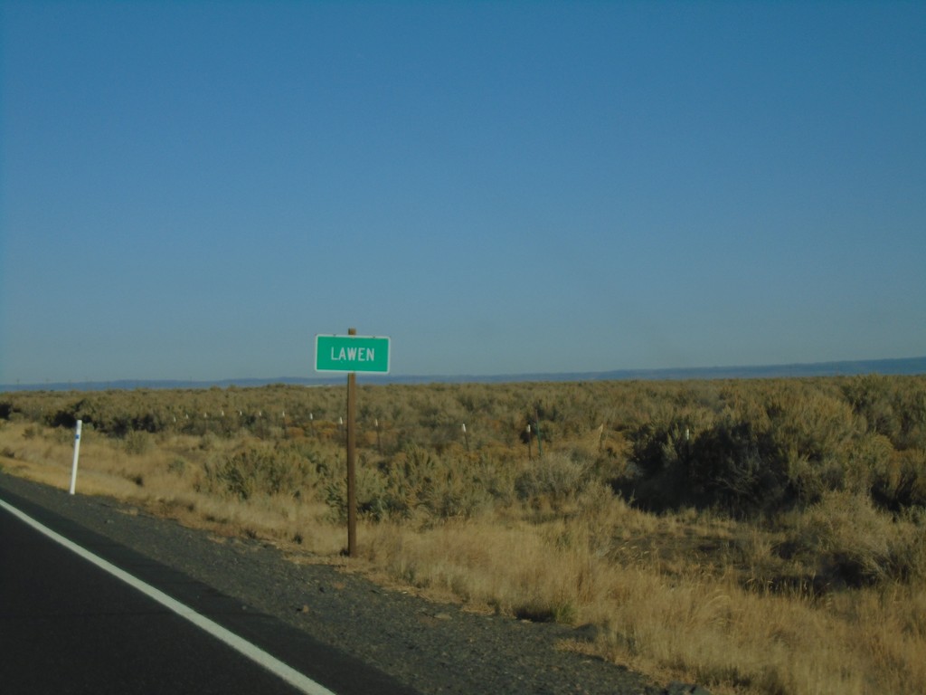
OR-78 West - Lawen
Community of Lawen on OR-78 west.
Taken 10-13-2018
Princeton
Harney County
Oregon
United States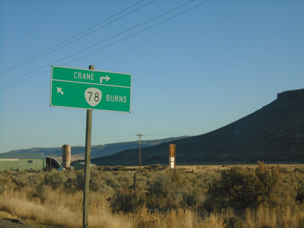
OR-78 - Crane Jct.
OR-78 at Crane Jct. Turn right for Crane, merge left for OR-78 West to Burns.
Taken 10-13-2018
Crane
Harney County
Oregon
United States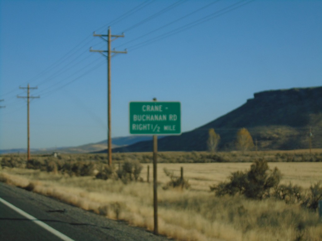
OR-78 West - Crane-Buchannan Road Jct.
OR-78 West approaching Crane-Buchannan Road Jct.
Taken 10-13-2018
Burns
Harney County
Oregon
United States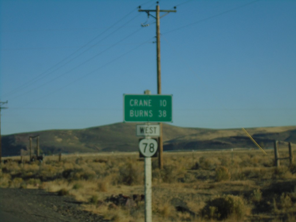
OR-78 West - Distance Marker
Distance marker on OR-78 west. Distance to Crane and Burns.
Taken 10-13-2018
Princeton
Harney County
Oregon
United States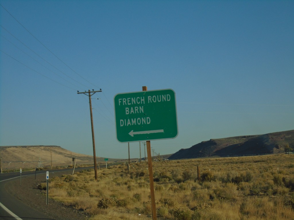
OR-78 North - French Round Barn/Diamond Jct.
OR-78 North at French Round Barn/Diamond Jct.
Taken 10-13-2018
New Princeton
Harney County
Oregon
United States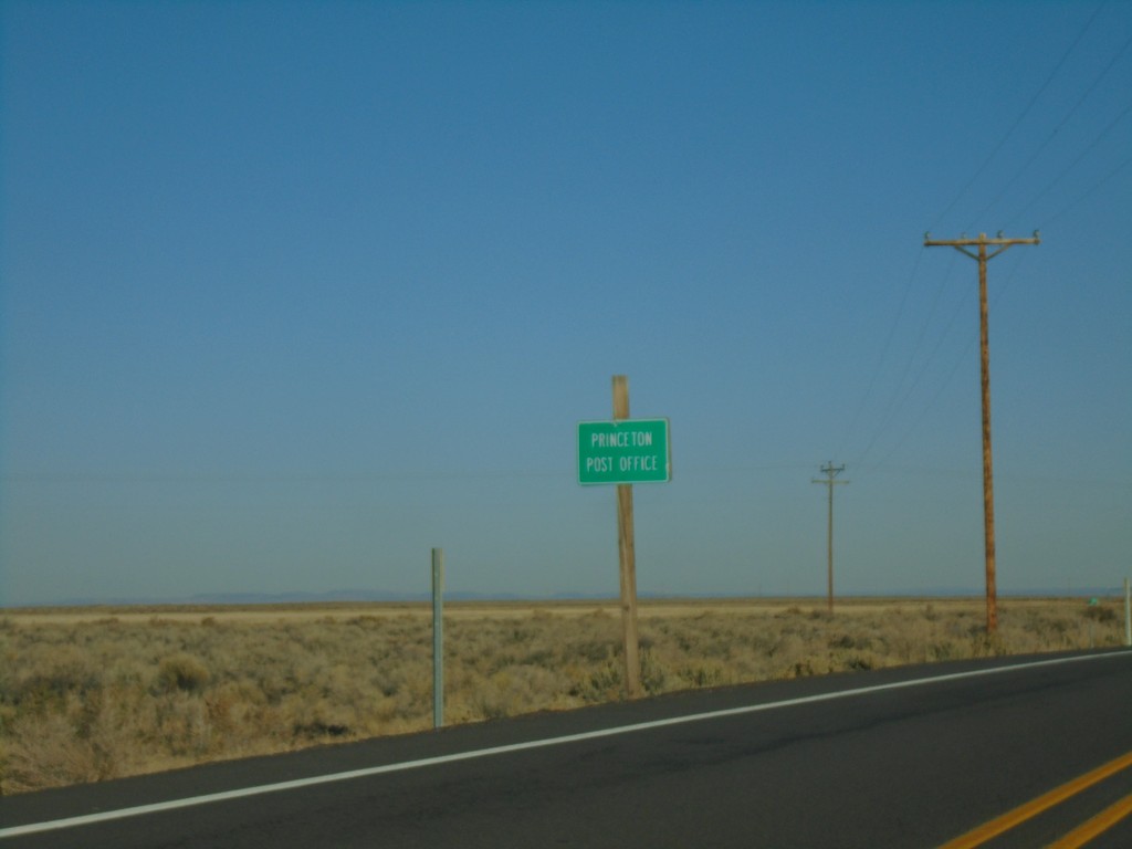
OR-78 West - Princeton Post Office
OR-78 west approaching Diamond Jct. Turn left for Princeton Post Office.
Taken 10-13-2018
Princeton
Harney County
Oregon
United States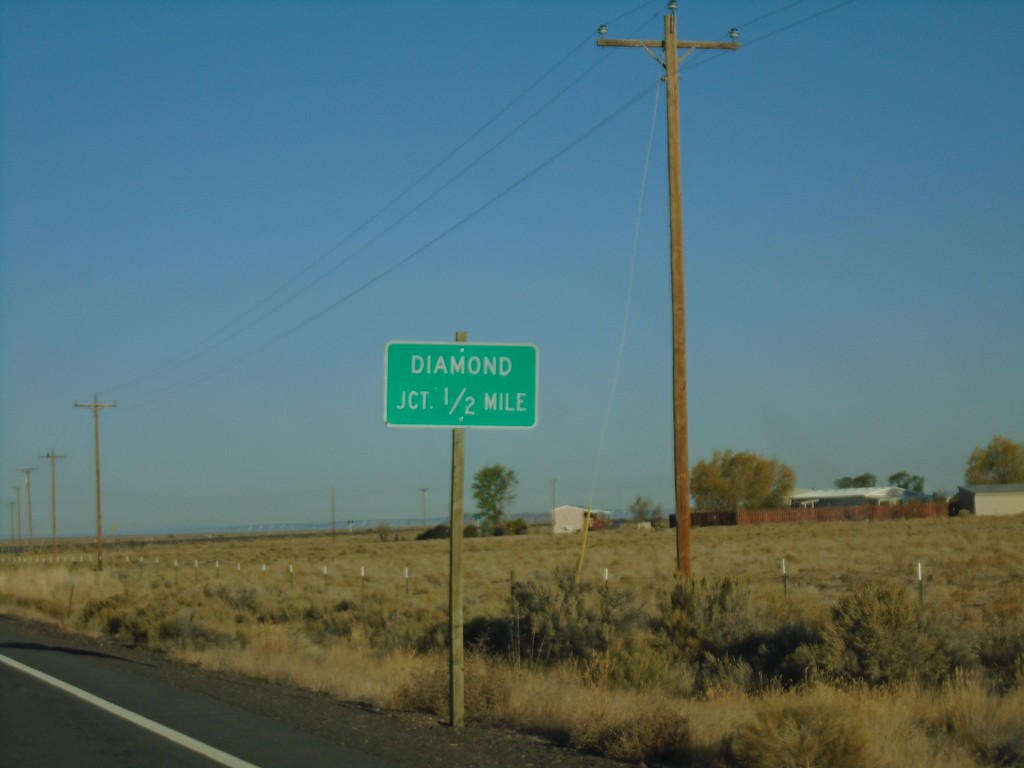
OR-78 West - Diamond Jct.
OR-78 West approaching Diamond Jct.
Taken 10-13-2018
Princeton
Harney County
Oregon
United States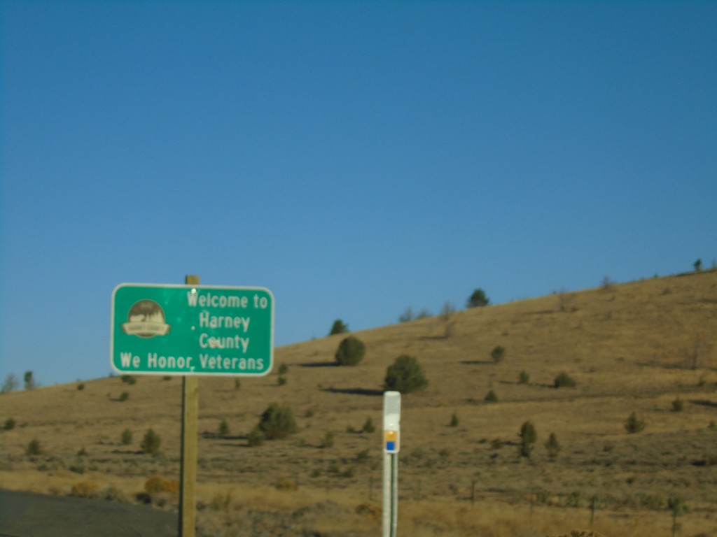
OR-78 West - Harney County
Entering Harney County on OR-78 west. Many of the eastern Oregon counties have a tagline on their county welcome sign saying “We Honor Veterans”.
Taken 10-13-2018
Princeton
Harney County
Oregon
United States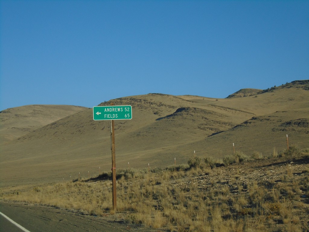
OR-78 West - Fields and Andrews Jct.
OR-78 West at Fields and Andrews Jct. This road travels south to the Nevada border reaching NV-140 at Denio. The road parallels the east side of Steens Mountain and the Alvord Desert.
Taken 10-13-2018
Jordan Valley
Malheur County
Oregon
United States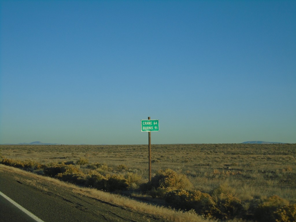
OR-78 West - Distance Marker
Distance marker on OR-78 west. Distance to Crane and Burns.
Taken 10-13-2018
Jordan Valley
Malheur County
Oregon
United States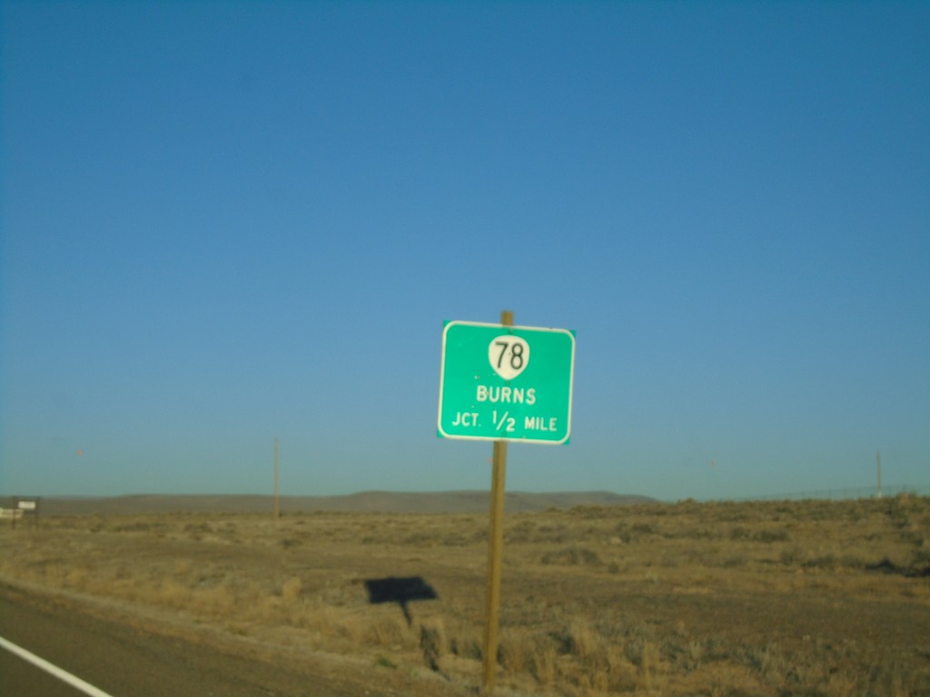
US-95 South Approaching OR-78
US-95 south approaching OR-78 to Burns at Burns Jct.
Taken 10-13-2018
 Jordan Valley
Malheur County
Oregon
United States
Jordan Valley
Malheur County
Oregon
United States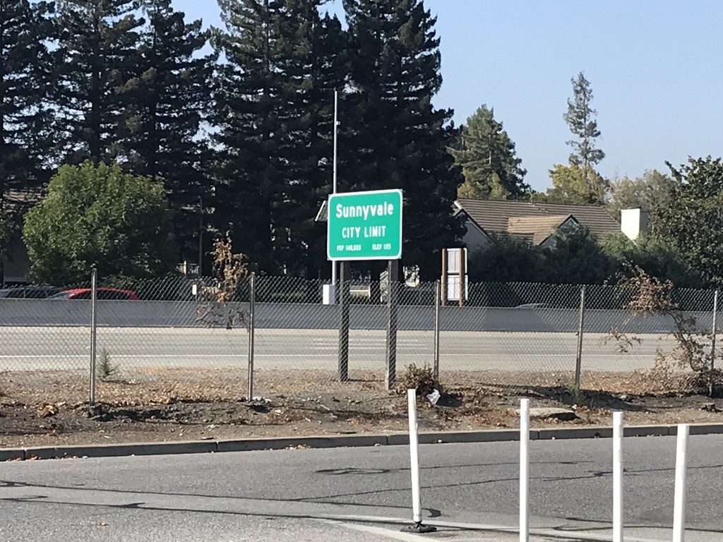
US-101 North - Sunnyvale City Limit
Entering Sunnyvale on US-101 north.
Taken 09-22-2018
 Sunnyvale
Santa Clara County
California
United States
Sunnyvale
Santa Clara County
California
United States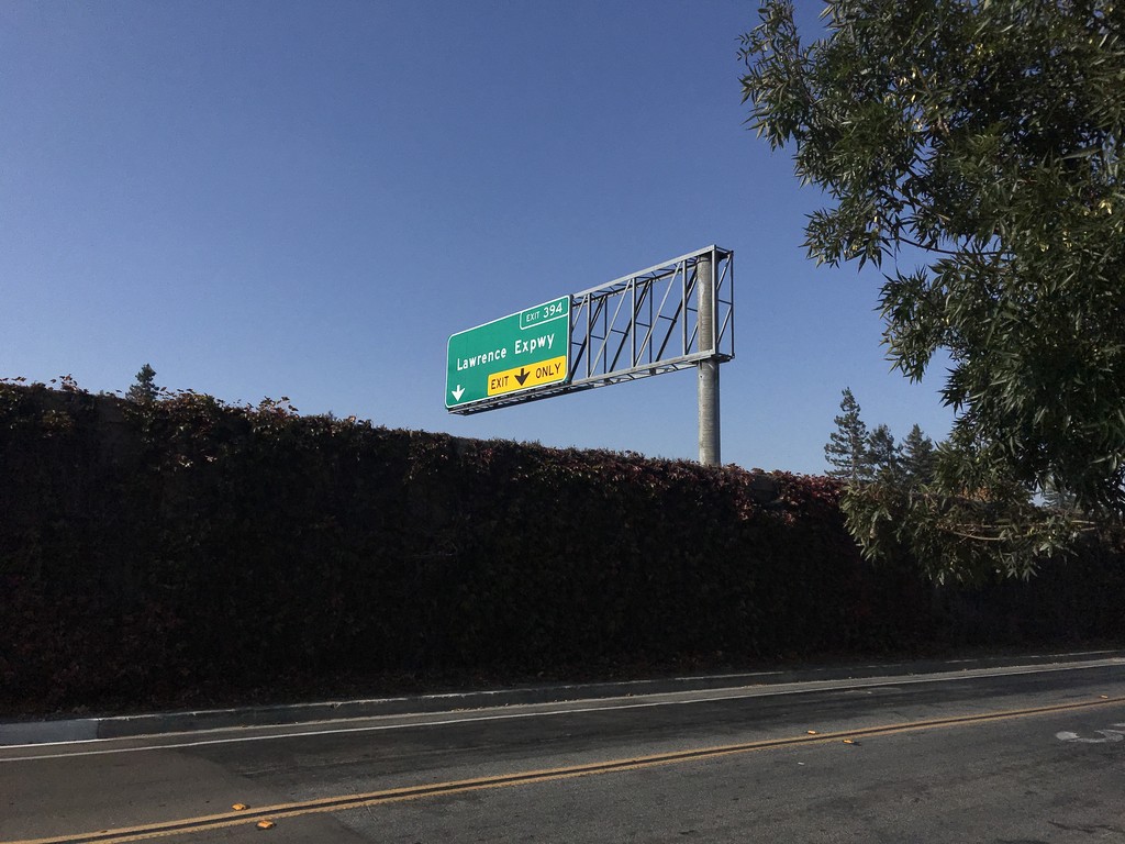
US-101 North - Exit 394
US-101 north at Exit 394 - Lawrence Expressway.
Taken 09-22-2018
Sunnyvale
Santa Clara County
California
United States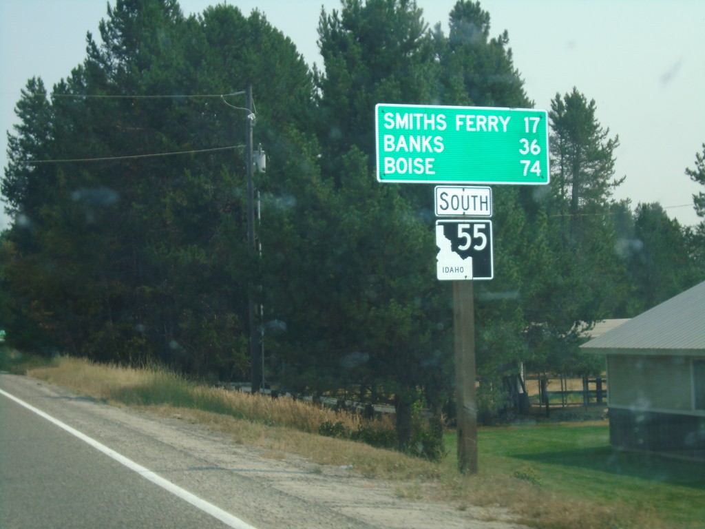
ID-55 South - Distance Marker
Distance marker on ID-55 south. Distance to Smith Ferry, Banks, and Boise.
Taken 08-11-2018
 Cascade
Valley County
Idaho
United States
Cascade
Valley County
Idaho
United States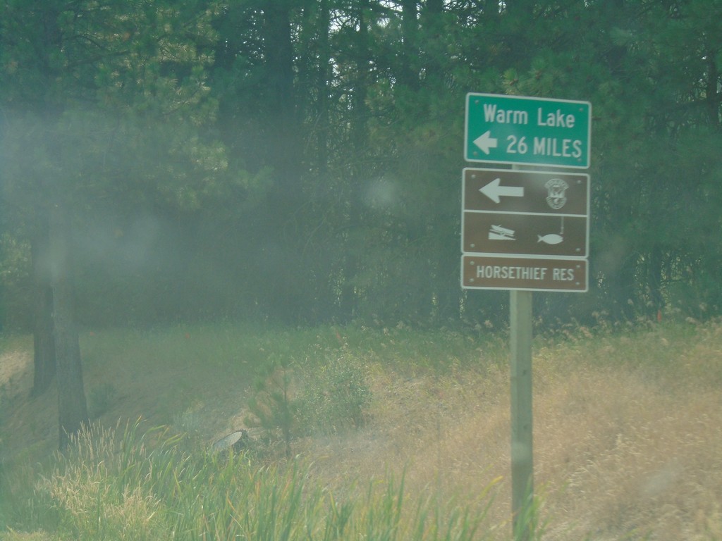
ID-55 South - Warm Lake Road
ID-55 south at Warm Lake Road Jct to Warm Lake and Horsethief Reservoir.
Taken 08-11-2018
Cascade
Valley County
Idaho
United States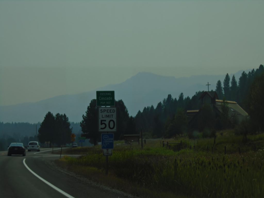
ID-55 South - Cascade
Entering Cascade on ID-55 south. Speed Limit 50 MPH.
Taken 08-11-2018
Cascade
Valley County
Idaho
United States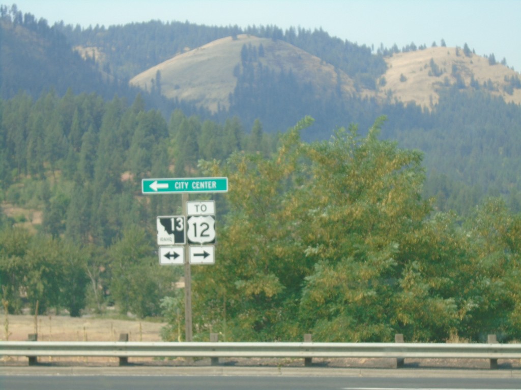
End Bus. ID-13 West at ID-13 - Kooskia
End Bus. ID-13 West at ID-13 in Kooskia. Turn right for ID-13 east to US-12 jct; left for ID-13 west to (Kooskia) City Center.
Taken 08-11-2018


 Kooskia
Idaho County
Idaho
United States
Kooskia
Idaho County
Idaho
United States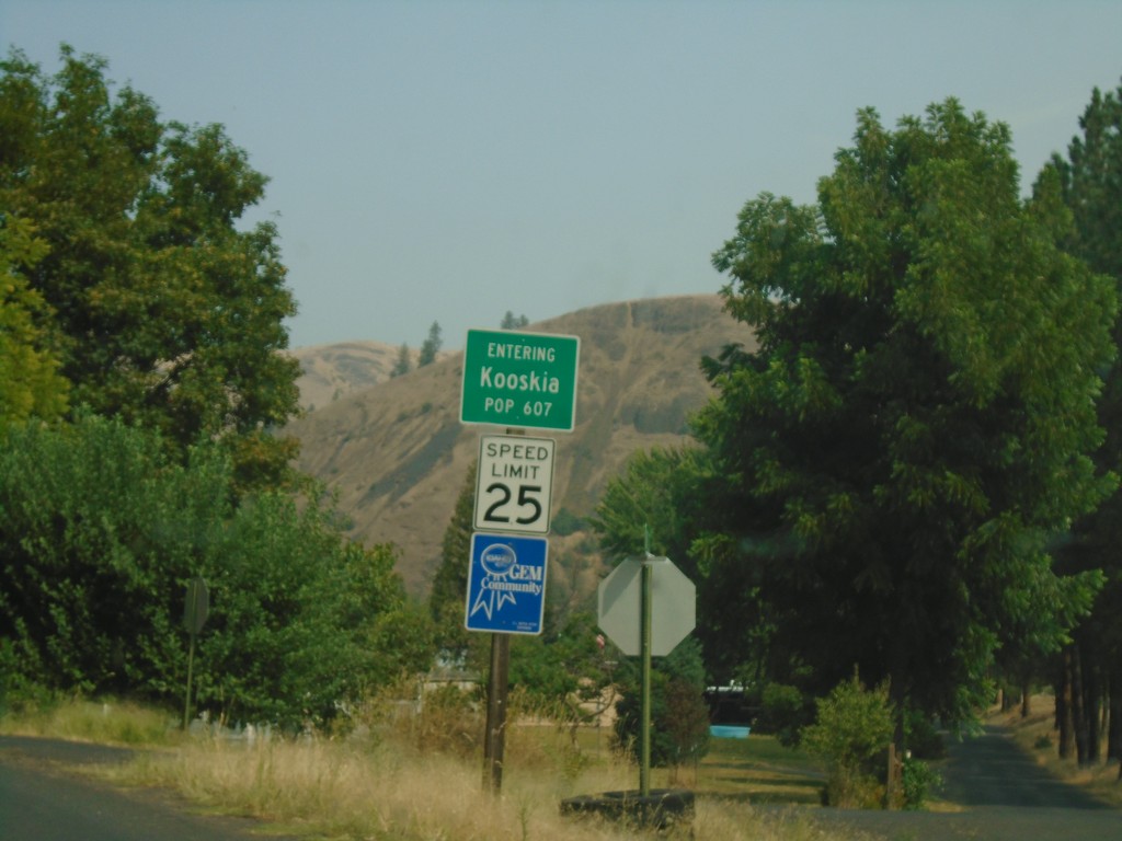
Bus. ID-13 West - Entering Kooskia
Entering Kooskia on Bus. ID-13 West.
Taken 08-11-2018
Kooskia
Idaho County
Idaho
United States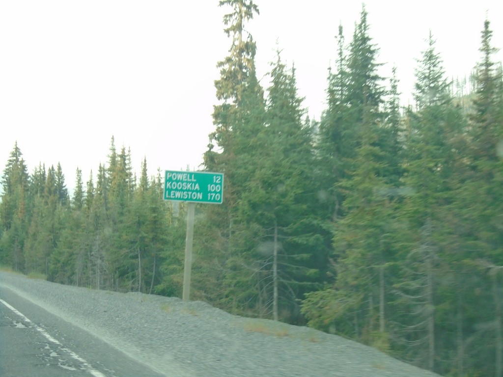
US-12 West - Distance Marker
Distance marker on US-12 west. Distance to Powell, Kooskia, and Lewiston.
Taken 08-11-2018
Powell Junction
Idaho County
Idaho
United States