Signs Tagged With Big Green Sign
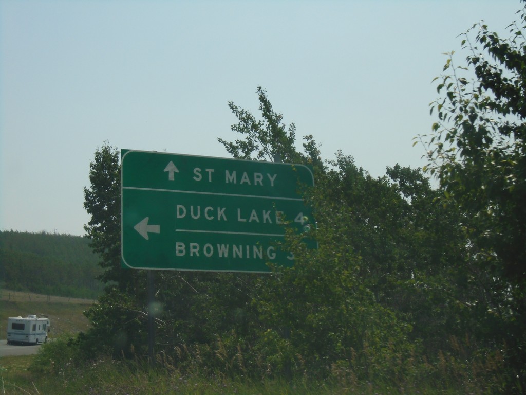
US-89 South at MTS-464
US-89 South at MTS-464. Use MTS-464 for Duck Lake and Browning; continue south on US-89 for St Mary.
Taken 08-10-2018

 Babb
Glacier County
Montana
United States
Babb
Glacier County
Montana
United States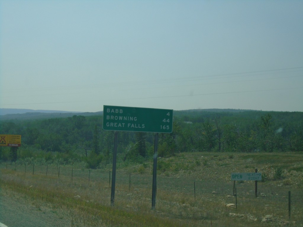
US-89 South - Distance Marker
Distance marker on US-89 south. Distance to Babb, Browning, and Great Falls.
Taken 08-10-2018
Babb
Glacier County
Montana
United States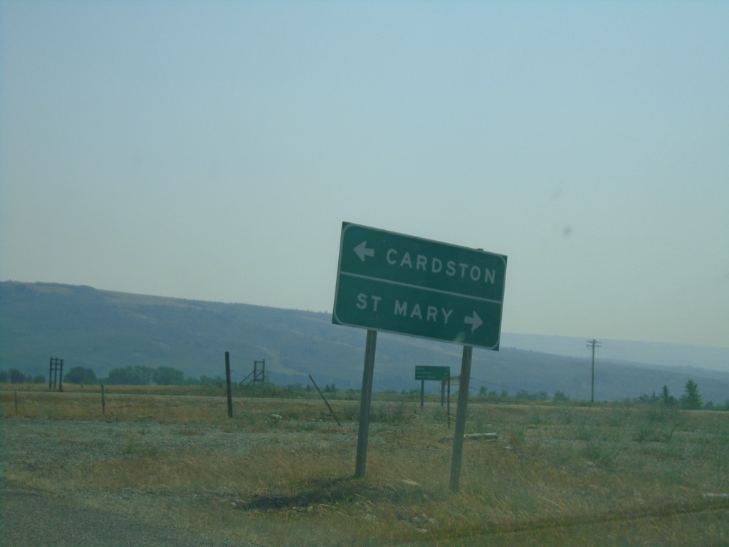
End MT-17 South at US-89
End MT-17 South at US-89 in Glacier County. Turn left for US-89 north to Cardston (Alberta); right for US-89 south to St. Mary.
Taken 08-10-2018
 Babb
Glacier County
Montana
United States
Babb
Glacier County
Montana
United States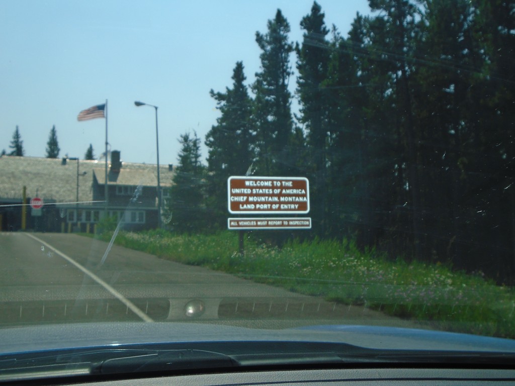
MT-17 South - Welcome To The United States
MT-17 South - Welcome To The United States of America. Chief Mountain Montana Land Port of Entry.
Taken 08-10-2018
Browning
Glacier County
Montana
United States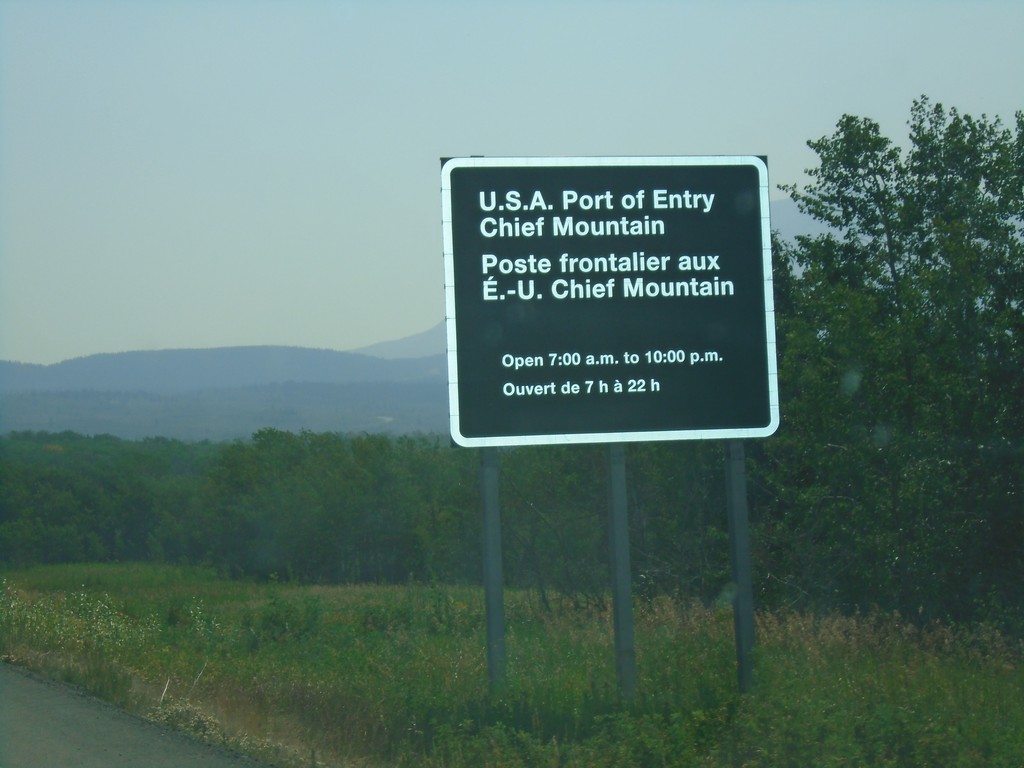
AB-6 South - Border Crossing Information
AB-6 South hours for the border crossing into the United States. U.S.A. Port of Entry - Chief Mountain open 7AM to 10PM.
Taken 08-10-2018
 Waterton Park
Improvement District No. 4
Alberta
Canada
Waterton Park
Improvement District No. 4
Alberta
Canada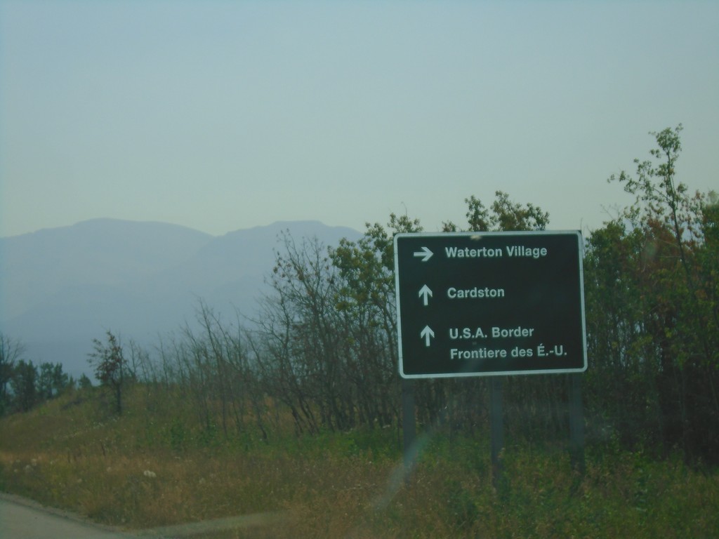
AB-6 South Approaching AB-5 - Waterton Lakes National Park
AB-6 South approaching AB-5 in Waterton Lakes National Park. Turn right for AB-5 south to Waterton Village; straight for AB-6 South/AB-5 North to Cardston and the U.S.A. Border.
Taken 08-10-2018
 Waterton Park
Improvement District No. 4
Alberta
Canada
Waterton Park
Improvement District No. 4
Alberta
Canada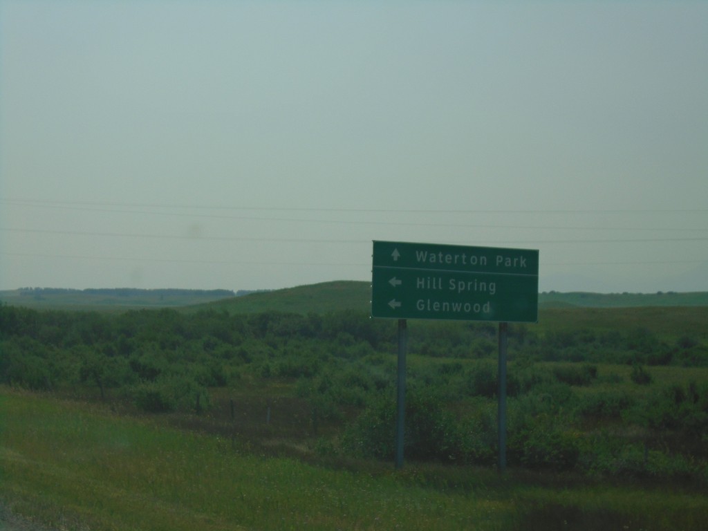
AB-6 South at AB-505
AB-6 South at AB-505 east to Hill Spring and Glenwood. Continue south on AB-6 south for Waterton Park.
Taken 08-10-2018
 Pincher Creek No. 9
Alberta
Canada
Pincher Creek No. 9
Alberta
Canada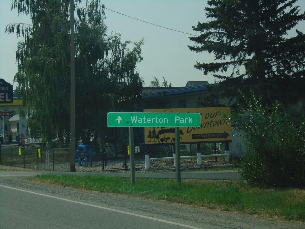
AB-6 South - To Waterton Park
AB-6 South - Continue ahead for Waterton Park.
Taken 08-10-2018
Pincher Creek
Pincher Creek No. 9
Alberta
Canada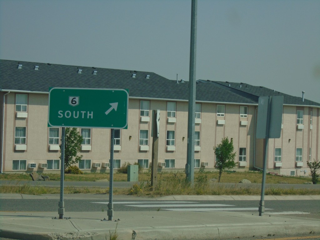
AB-6/AB-507 Roundabout - Pincher Creek
AB-6/AB-507 Roundabout in Pincher Creek. Merge right for AB-6 South.
Taken 08-10-2018
 Pincher Creek
 No. 9
Alberta
Canada
Pincher Creek
Pincher Creek No. 9
Alberta
Canada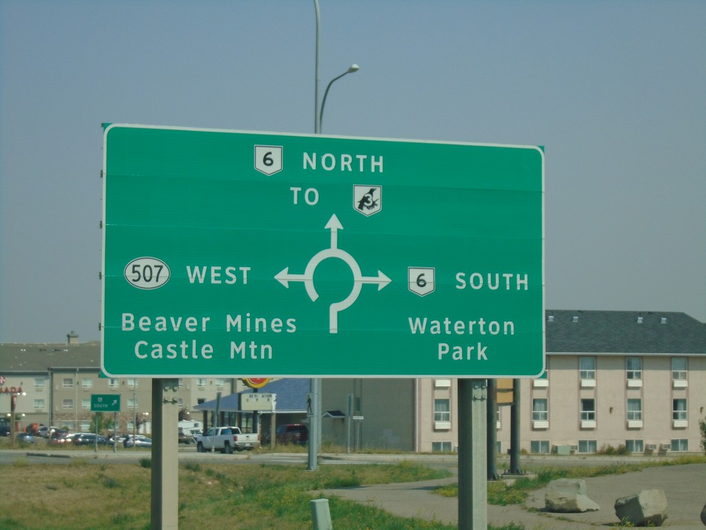
Heweston Ave. North at AB-6/AB-507 Roundabout
Heweston Ave. North at AB-6/AB-507 roundabout in Pincher Creek. Use AB-6 North for AB-3 (Crowsnest Highway); use AB-6 south for Waterton Park; use AB-507 West for Beaver Mines and Castle Mountain.
Taken 08-10-2018
 Pincher Creek
 No. 9
Alberta
Canada
Pincher Creek
Pincher Creek No. 9
Alberta
Canada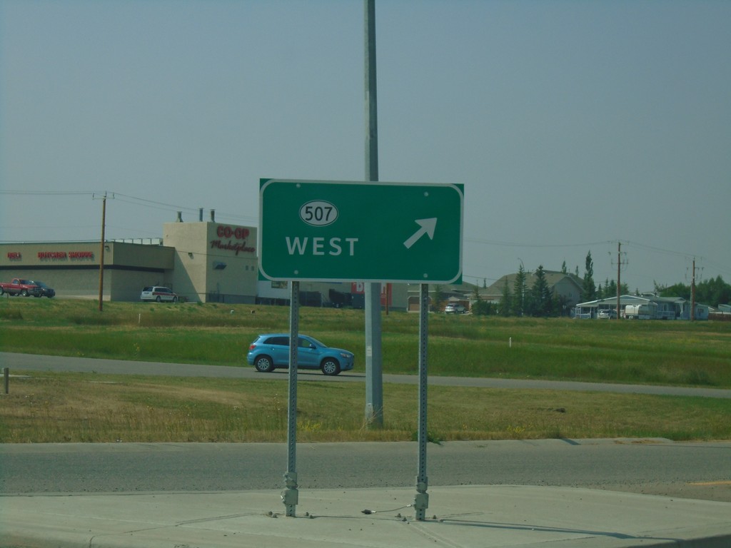
AB-6 South at AB-507 Junction
AB-6 South at AB-507 West Junction in a roundabout. Merge right for AB-507 west.
Taken 08-10-2018
Pincher Creek
Pincher Creek No. 9
Alberta
Canada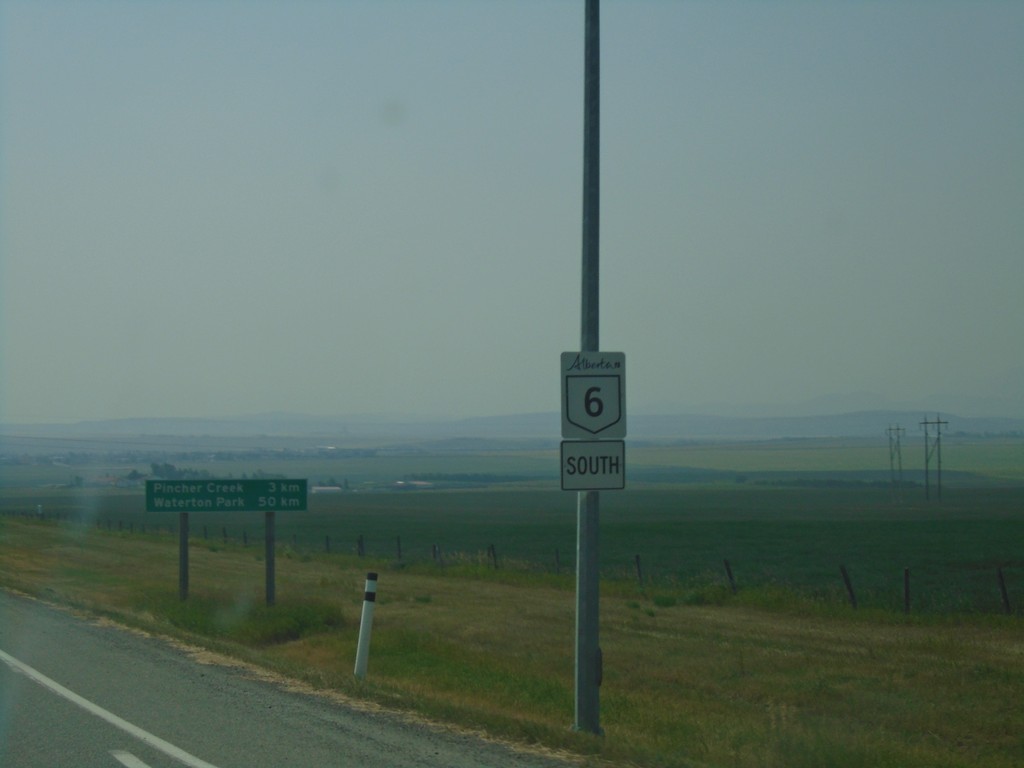
AB-6 South - Pincher Creek
AB-6 south shield in Pincher Creek.
Taken 08-10-2018
Pincher Creek
Pincher Creek No. 9
Alberta
Canada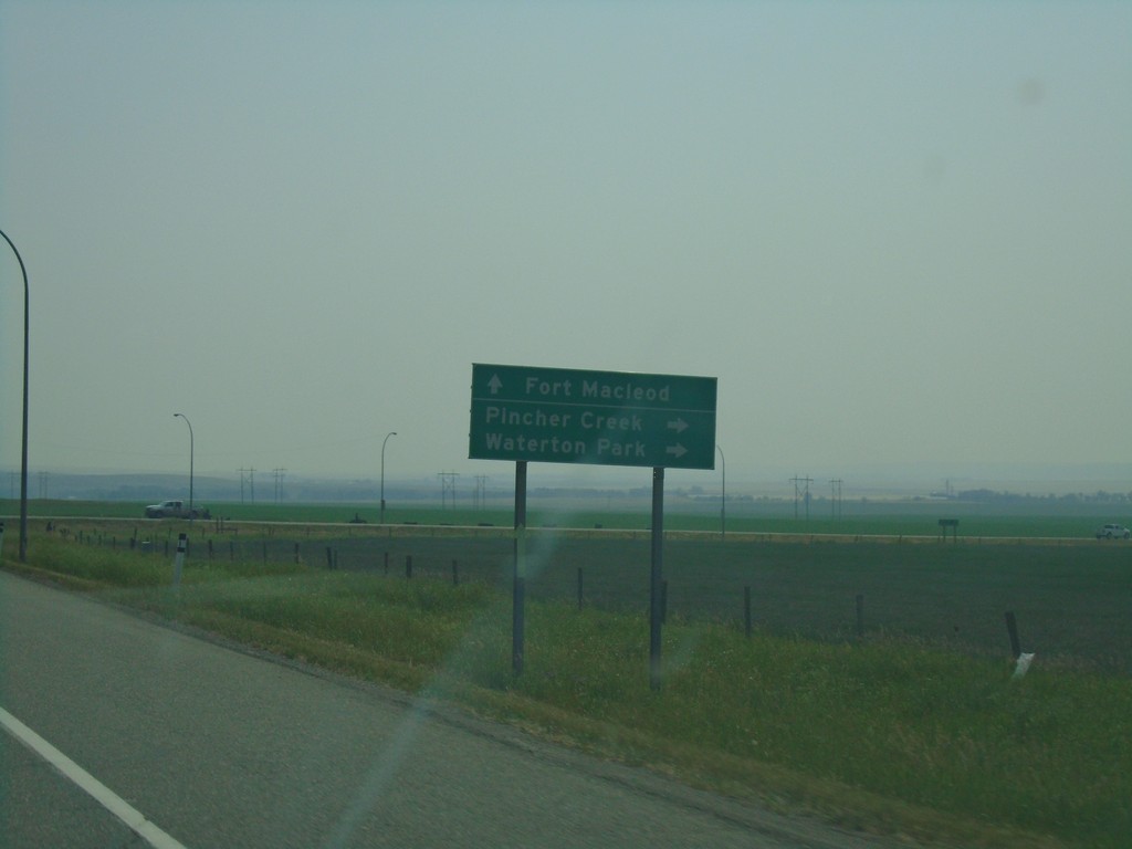
AB-3 East Approaching AB-6 South
AB-3 East Approaching AB-6 South to Pincher Creek and Waterton Park. Continue east on AB-3 for Fort Macleod.
Taken 08-10-2018
Pincher Creek
Pincher Creek No. 9
Alberta
Canada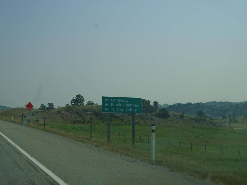
AB-3 East Approaching AB-22 North
AB-3 East approaching AB-22 North. Use AB-22 north for Longview, Black Diamond, and Turner Valley.
Taken 08-10-2018
 Lundbreck
Pincher Creek No. 9
Alberta
Canada
Lundbreck
Pincher Creek No. 9
Alberta
Canada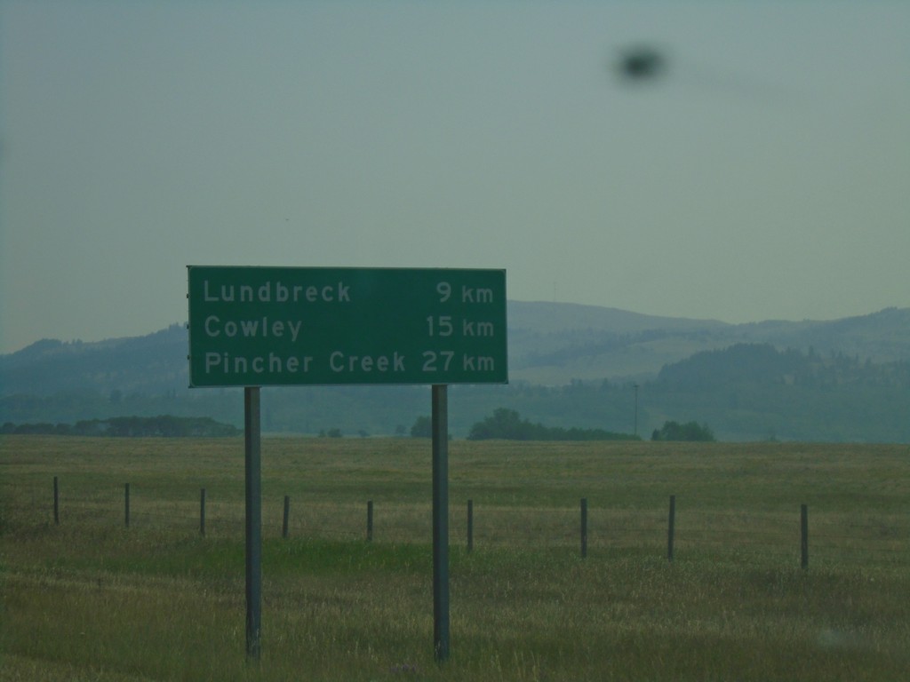
AB-3 East - Distance Marker
Distance marker on AB-3 east. Distance to Lundbreck, Cowley, and Pincher Creek.
Taken 08-10-2018
Lundbreck
Pincher Creek No. 9
Alberta
Canada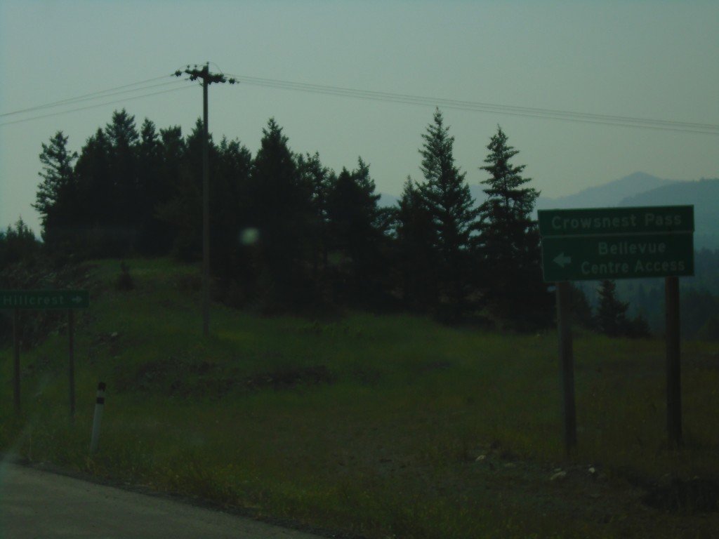
AB-3 East - Bellevue Centre Access
AB-3 East at Bellevue Centre Access.
Taken 08-10-2018
Bellevue
Crowsnest Pass
Alberta
Canada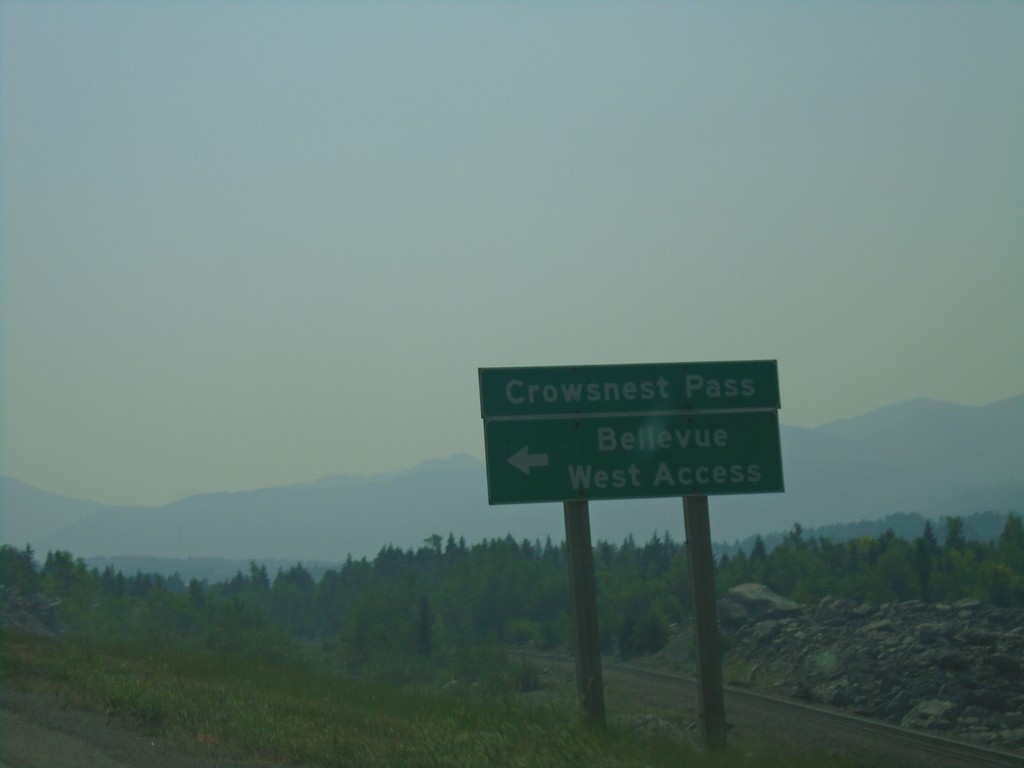
AB-3 East - Bellevue West Access
AB-3 East at Bellevue West Access.
Taken 08-10-2018
Bellevue
Pincher Creek No. 9
Alberta
Canada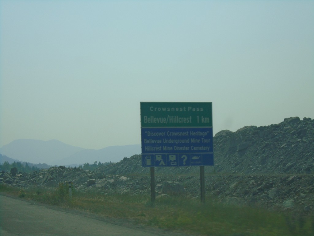
AB-3 East Approaching Bellvue/Hillcrest
AB-3 East approaching Bellvue/Hillcrest communities in Crowsnest Pass.
Taken 08-10-2018
Bellevue
Crowsnest Pass
Alberta
Canada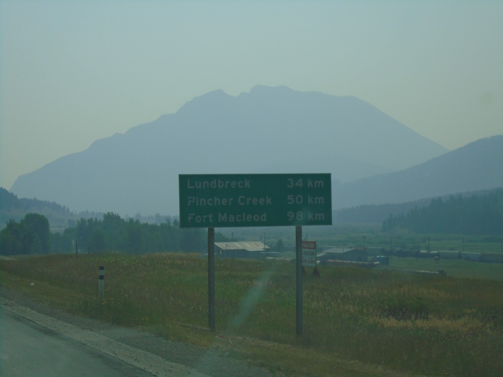
AB-3 East - Distance Marker
Distance marker on AB-3 East. Distance to Lundbreck, Pincher Creek, and Fort Macleod.
Taken 08-10-2018
Crowsnest Pass
Alberta
Canada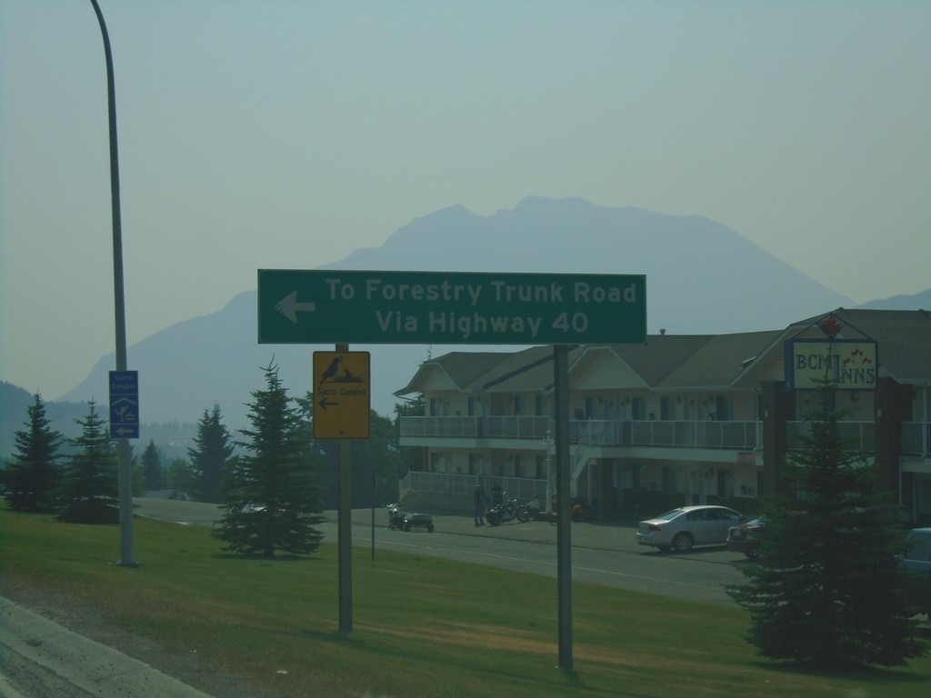
AB-3 East at AB-40 North - Coleman
AB-3 East at AB-40 North in Coleman. Use AB-40 north for Forestry Trunk Road.
Taken 08-10-2018
 Frank
Crowsnest Pass
Alberta
Canada
Frank
Crowsnest Pass
Alberta
Canada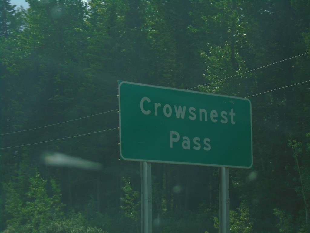
AB-3 East - Crowsnest Pass
Entering Crowsnest Pass on AB-3 east.
Taken 08-10-2018
Crowsnest Pass
Alberta
Canada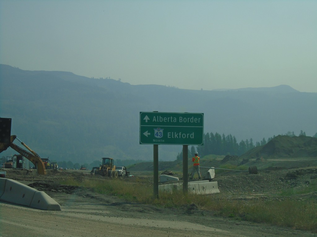
BC-3 East at BC-43 North - Sparwood
BC-3 East at BC-43 North in Sparwood. Turn left for BC-43 north to Elkford; continue east on BC-3 for the Alberta Border.
Taken 08-10-2018

 Sparwood
East Kootenay
British Columbia
Canada
Sparwood
East Kootenay
British Columbia
Canada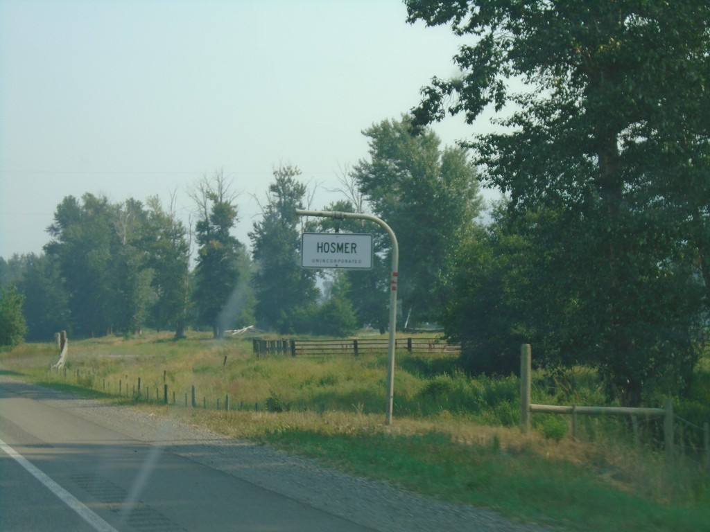
BC-3 East - Hosmer
Entering Hosmer (Unincorporated) on BC-3 east.
Taken 08-10-2018
Fernie
East Kootenay
British Columbia
Canada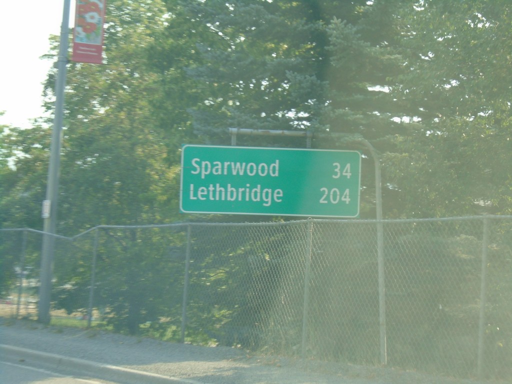
BC-3 East - Distance Marker
Distance marker on BC-3 east in Fernie. Distance to Sparwood and Lethbridge (Alberta).
Taken 08-10-2018
Fernie
East Kootenay
British Columbia
Canada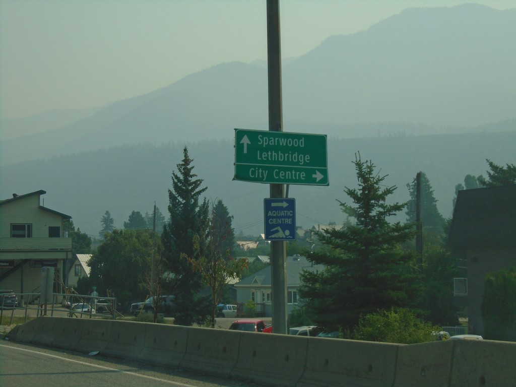
BC-3 East - Fernie
BC-3 east in Fernie. Turn right on 4th St. for (Fernie) City Centre. Continue east on BC-3 for Sparwood and Lethbridge (Alberta).
Taken 08-10-2018
Fernie
East Kootenay
British Columbia
Canada