Signs Tagged With Big Green Sign
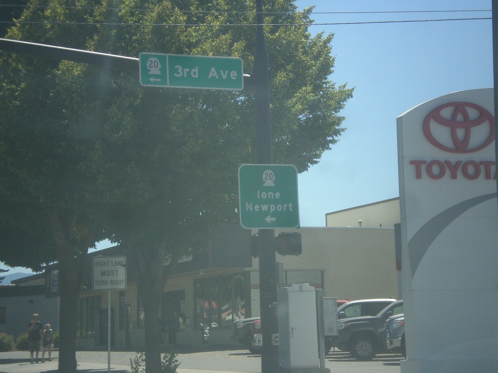
US-395 South/WA-20 East at US-395/WA-20 Split
US-395 South/WA-20 East at US-395/WA-20 Split in Colville. Turn left for WA-20 East (3rd Ave.) to Ione and Newport.
Taken 07-29-2017

 Colville
Stevens County
Washington
United States
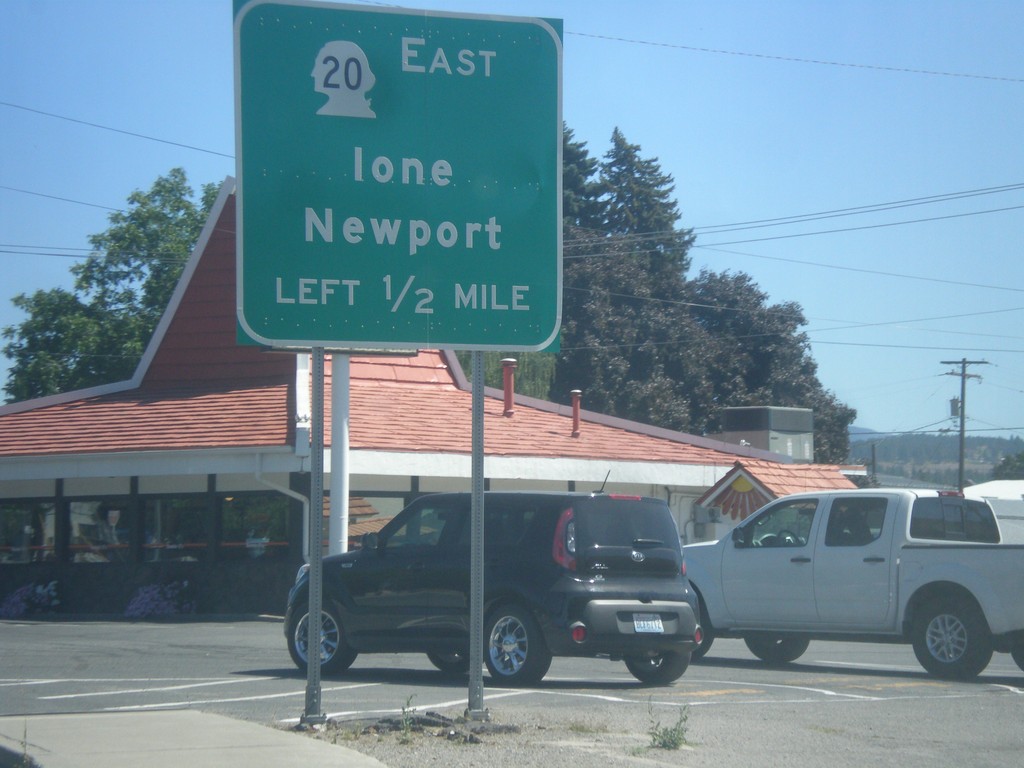
US-395 South/WA-20 East Approaching US-395/WA-20 Split
US-395 South/WA-20 East approaching US-395/WA-20 split. Use WA-20 East for Newport and Ione.
Taken 07-29-2017

 Colville
Stevens County
Washington
United States
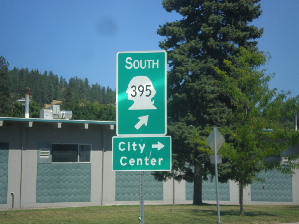
US-395 South/WA-20 East - Railroad St. Roundabout
US-395 South/WA-20 East - Railroad St. Roundabout in Colville. Merge right for Railroad St. south to (Colville) City Center. Merge left to continue on US-395 south, which is incorrectly signed as WA-395.
Taken 07-29-2017

 Colville
Stevens County
Washington
United States
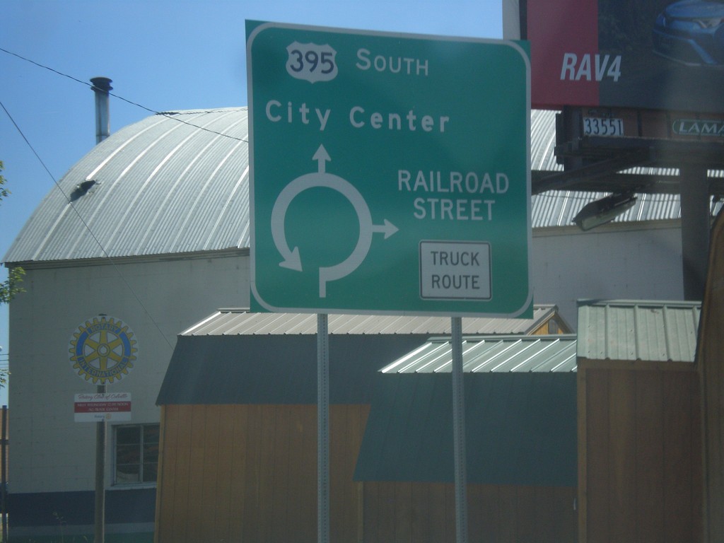
US-395 South/WA-20 East - Railroad Street Roundabout
US-395 South/WA-20 East at Railroad Street Roundabout in Colville.
Taken 07-29-2017

 Colville
Stevens County
Washington
United States
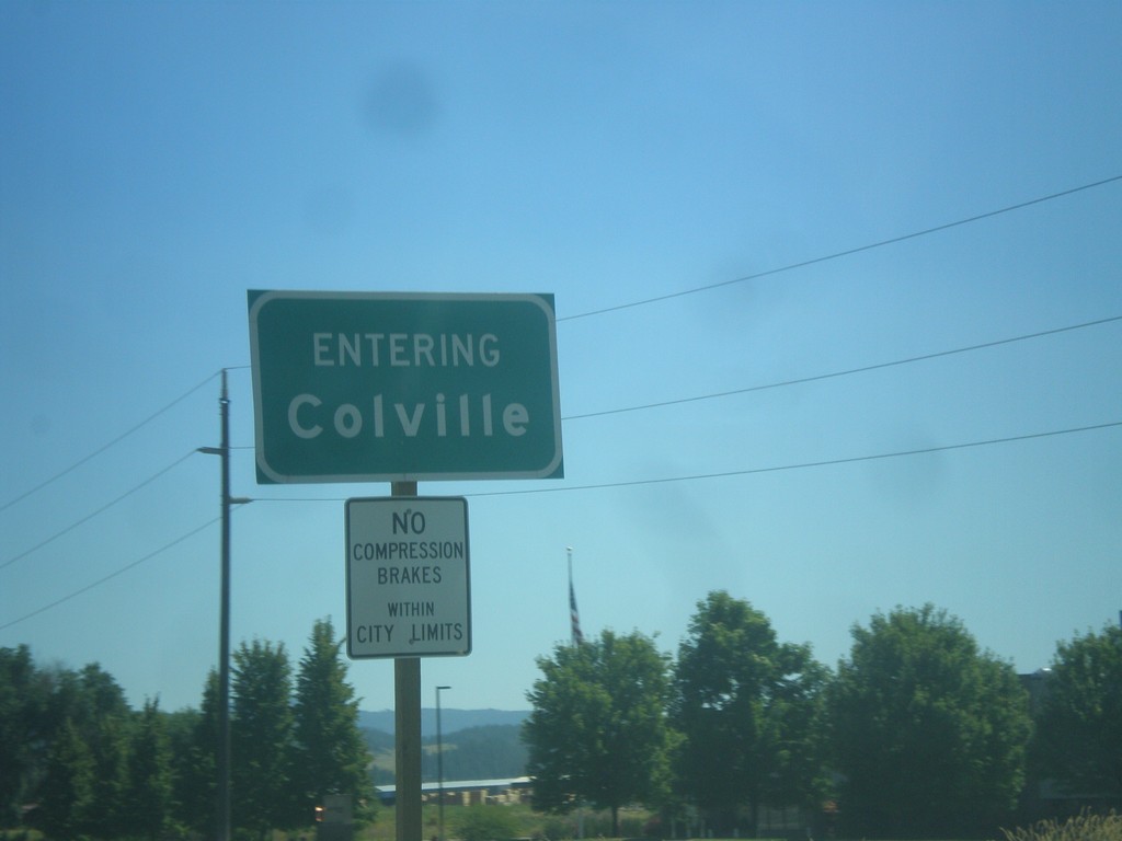
US-395 South/WA-20 East - Entering Colville
Entering Colville on US-395 South/WA-20 East. Colville is the county seat of Stevens County.
Taken 07-29-2017

 Colville
Stevens County
Washington
United States
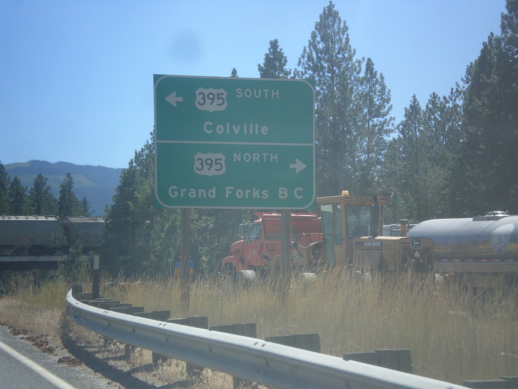
WA-25 South at US-395/WA-20
WA-25 South at US-395/WA-20 near Kettle Falls. Turn right for US-395 North/(WA-20 West) to Grand Forks, BC (Canada). Turn left for US-395 South/(WA-20 East) to Colville.
Taken 07-29-2017


 Kettle Falls
Stevens County
Washington
United States
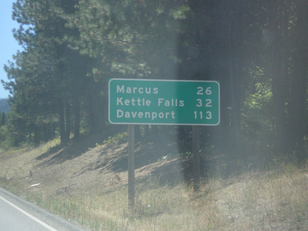
WA-25 South - Distance Marker
Distance maker on WA-25 south. Distance to Marcus, Kettle Falls, and Davenport. This is the first distance marker on WA-25 south of the US-Canada border.
Taken 07-29-2017
 Northport
Stevens County
Washington
United States
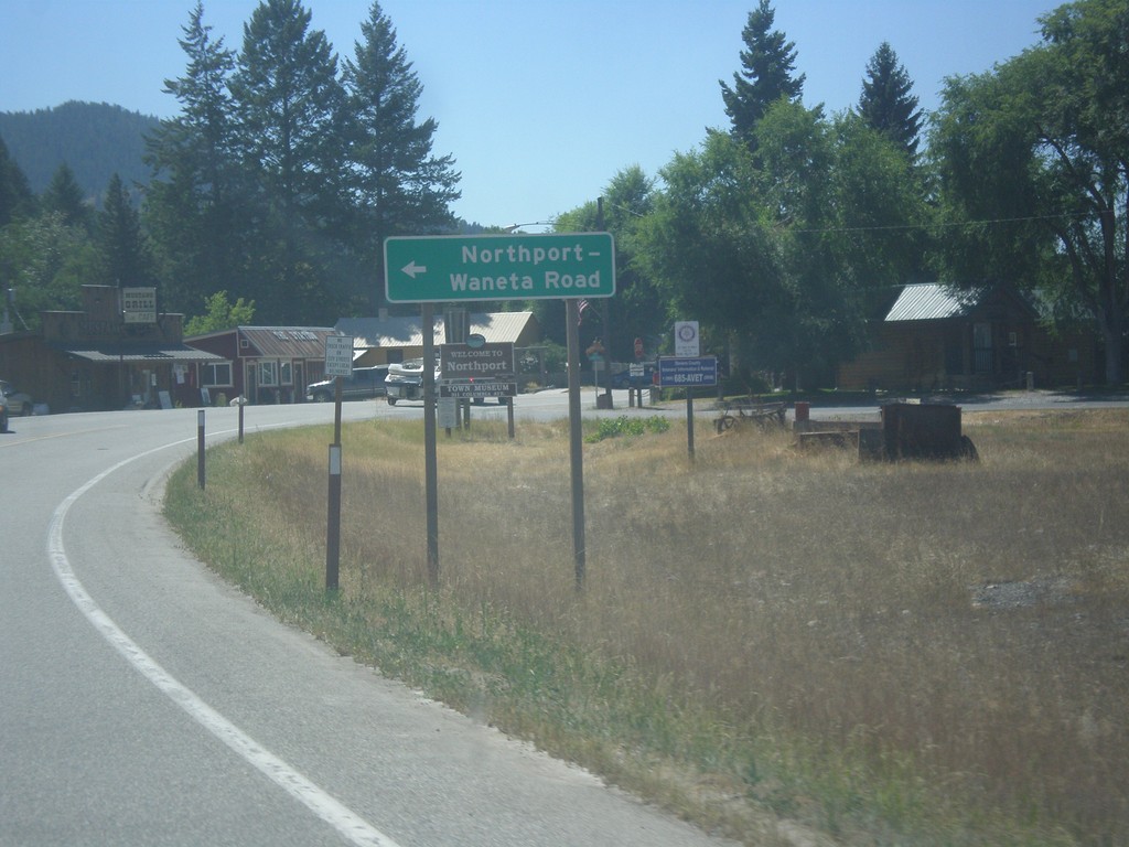
WA-25 South - Northport-Waneta Road
WA-25 South at Northport-Waneta Road. Use Northport-Waneta Road for access to Canada at the Port of Waneta.
Taken 07-29-2017
 Northport
Stevens County
Washington
United States
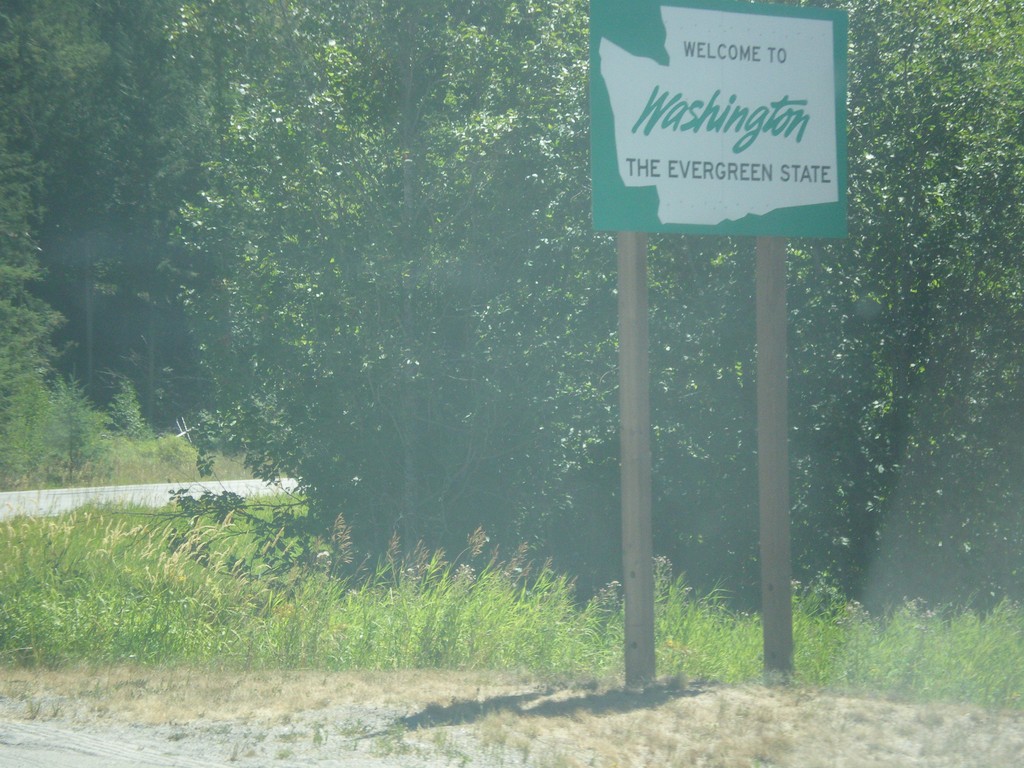
WA-25 South - Welcome to Washington
Welcome to Washington on WA-25 south. Taken just south of the Port of Frontier border inspection facility.
Taken 07-29-2017
 Northport
Stevens County
Washington
United States
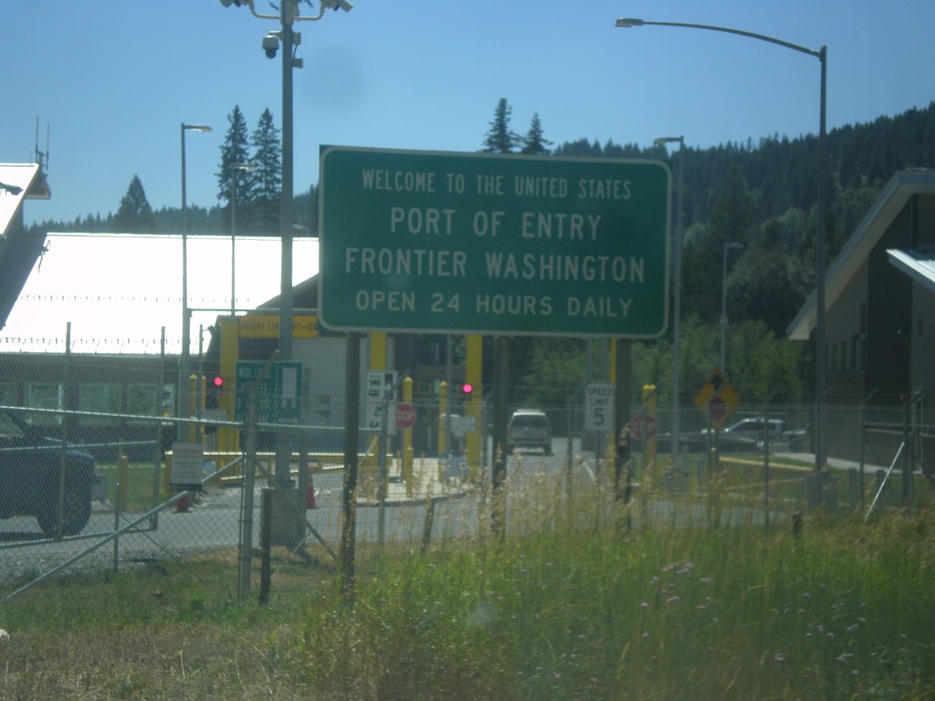
WA-25 South - Welcome To The United States
Welcome To The United States on WA-25 South. Port of Entry at Frontier Washington. Open 24 hours a day. The border facility is in the background.
Taken 07-29-2017
 Northport
Stevens County
Washington
United States
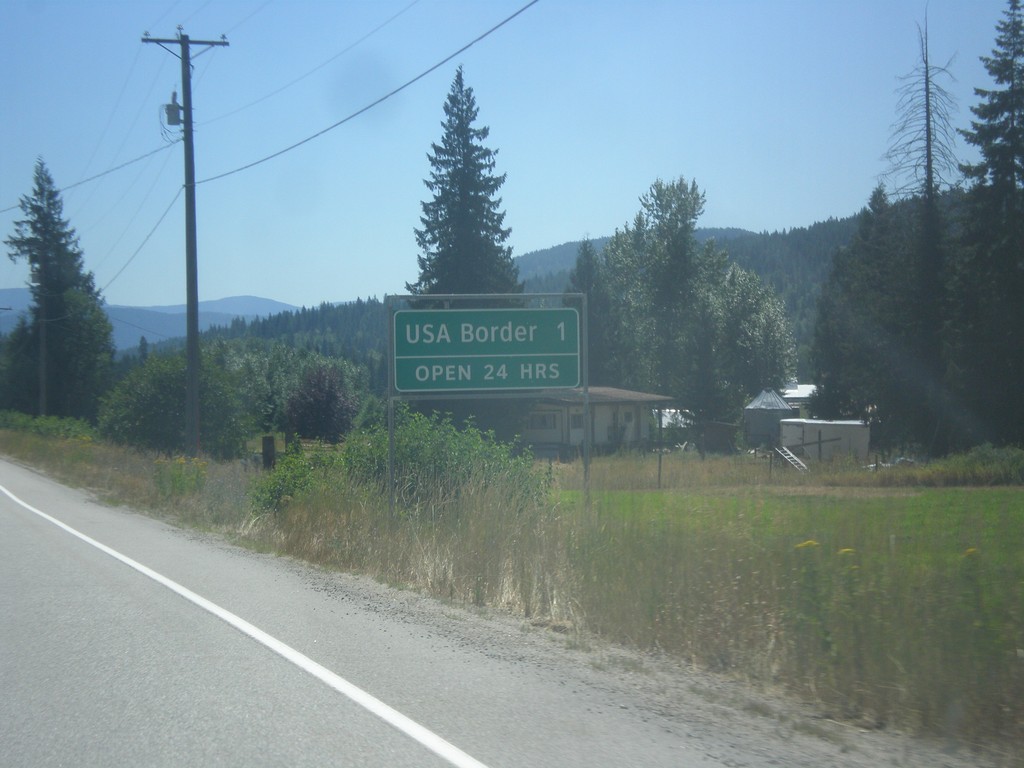
BC-22 South - Distance Marker
Distance Marker on BC-22 South. Distance to USA Border - 1 km. Border crossing at Port of Frontier is open 24 hours.
Taken 07-29-2017
 Rossland
Kootenay Boundary
British Columbia
Canada
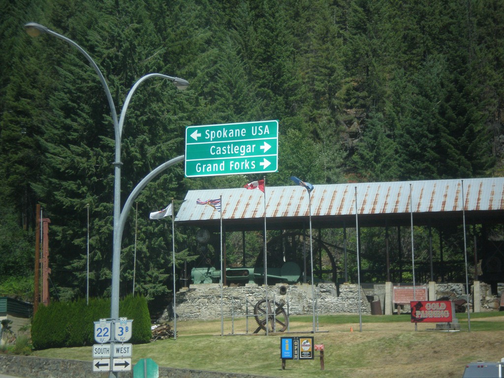
BC-22 South/BC-3B West at BC-22/BC-3B Split
BC-22 South/BC-3B West at BC-22/BC-3B split. Turn right for BC-3B West to Grand Forks and Castlegar. Turn left for BC-22 South to Spokane USA.
Taken 07-29-2017

 Rossland
Kootenay Boundary
British Columbia
Canada
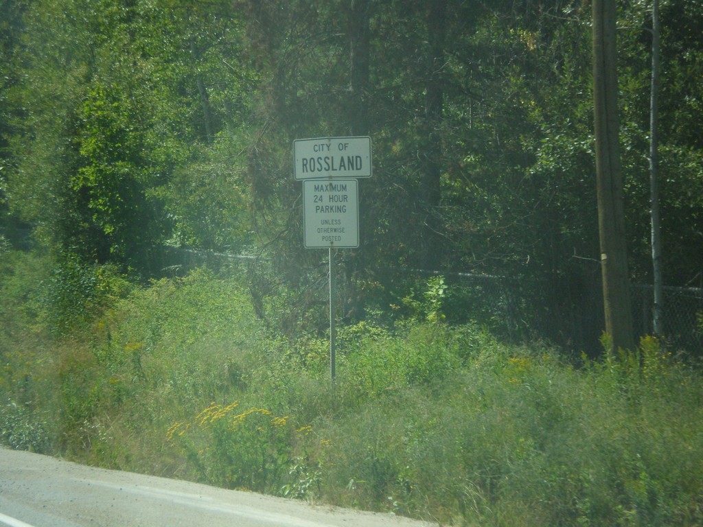
BC-22 South/BC-3B West - Rossland
Rossland City Limit on BC-22 South/BC-3B West.
Taken 07-29-2017

 Rossland
Kootenay Boundary
British Columbia
Canada
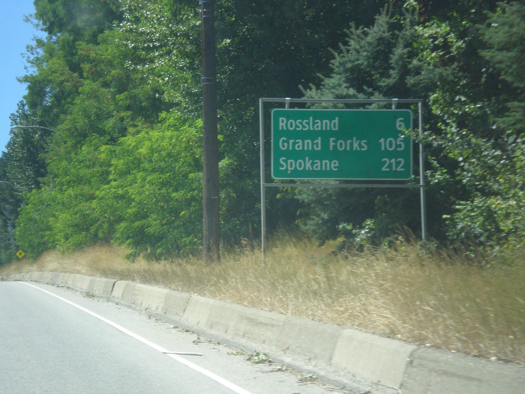
BC-22 South/BC-3B West - Distance Marker
Distance Marker on BC-22 South/BC-3B West. Distance to Rossland, Grand Forks (via BC-3B), and Spokane (Washington, via BC-22).
Taken 07-29-2017

 Trail
Kootenay Boundary
British Columbia
Canada
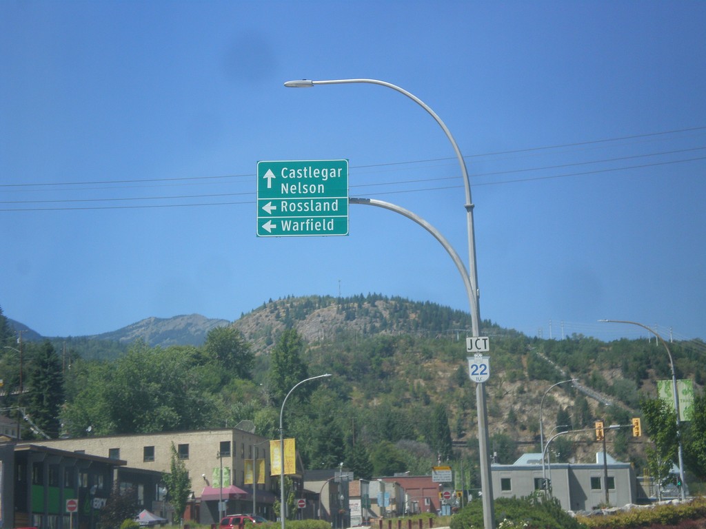
BC-3B West at BC-22 - Trail
BC-3B West at BC-22 in Trail. Use BC-22 north to Castlegar and Nelson. Use BC-22 South/BC-3B West to Warfield and Rossland.
Taken 07-29-2017

 Trail
Kootenay Boundary
British Columbia
Canada
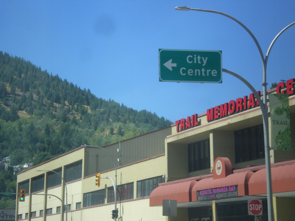
BC-3B West (Victoria St.) at Bay St.
BC-3B West (Victoria St.) at Bay St to (Trail) City Centre.
Taken 07-29-2017
 Trail
Kootenay Boundary
British Columbia
Canada
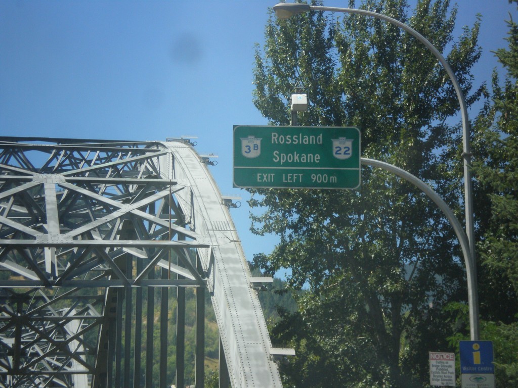
BC-3B West Approaching BC-22
BC-3B West approaching BC-22 in Trail. Use BC-3B West/BC-22 South for Rossland and Spokane (Washington). Bridge in background of photo is the Columbia River bridge in Trail.
Taken 07-29-2017

 Trail
Kootenay Boundary
British Columbia
Canada
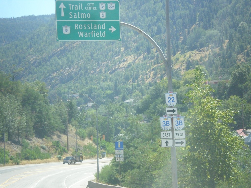
BC-22 South at BC-3B - Trail
BC-22 South at BC-3B in Trail. Turn right for BC-22 South/BC-3A West to Rossland/Warfield. Continue straight for BC-3B to BC-22A/BC-3/Trail City Centre/Salmo. BC-3B West joins BC-22A South to Rossland.
Taken 07-29-2017


 Trail
Kootenay Boundary
British Columbia
Canada
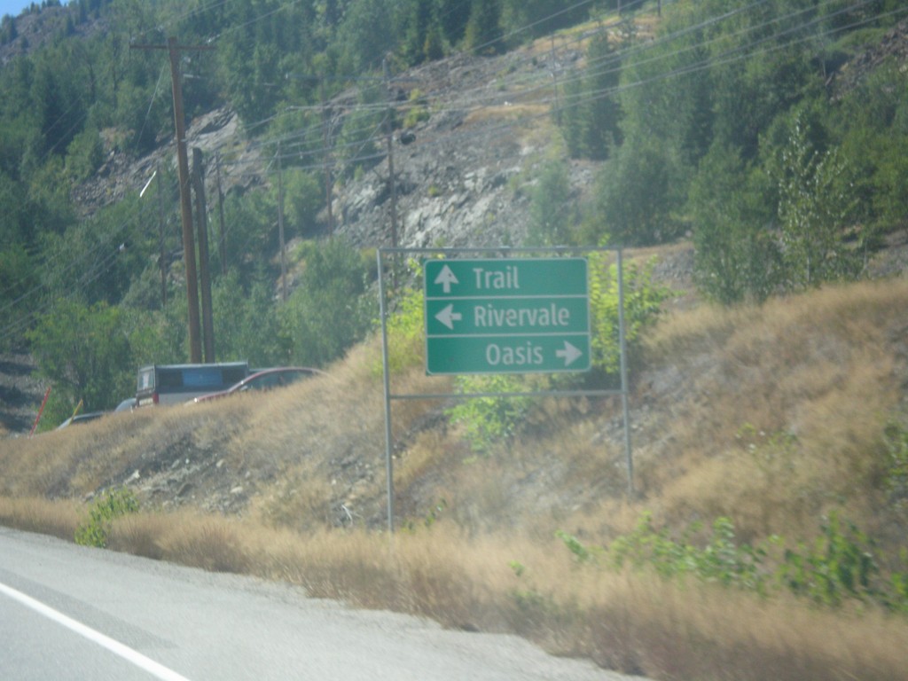
BC-22 South - Rivervale/Oasis Jct.
BC-22 South at Rivervale/Oasis Jct. Continue south on BC-22 for Trail.
Taken 07-29-2017
 Trail
Kootenay Boundary
British Columbia
Canada
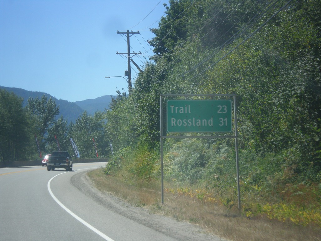
BC-22 South - Distance Marker
Distance marker on BC-22 south. Distance to Trail and Rossland.
Taken 07-29-2017
 Castlegar
Central Kootenay
British Columbia
Canada
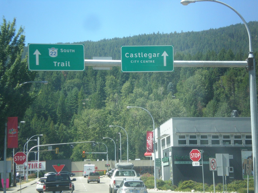
BC-3 West - BC-22 Offramp at 6th Ave.
BC-3 West - BC-22 Offramp at 6th Ave. in Castlegar. Continue ahead for BC-22 south/Trail and Castlegar City Centre.
Taken 07-29-2017

 Castlegar
Central Kootenay
British Columbia
Canada
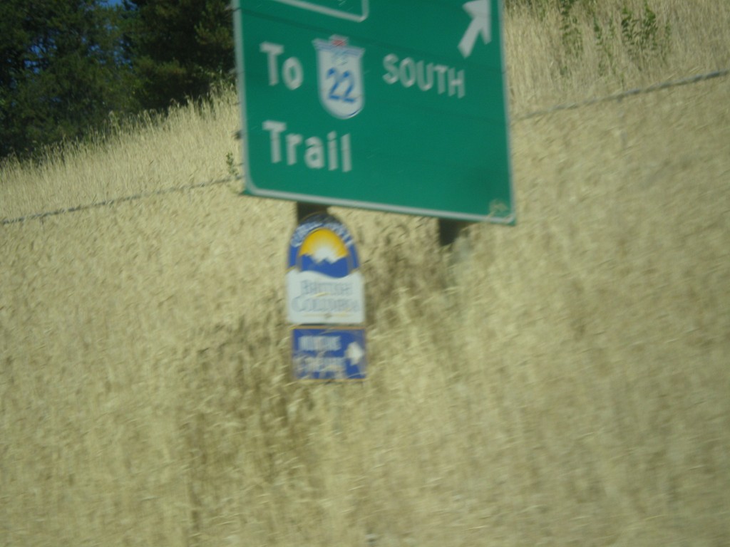
BC-3 West at BC-22 South Interchange
BC-3 West at BC-22 South/Trail interchange.
Taken 07-29-2017

 Castlegar
Central Kootenay
British Columbia
Canada
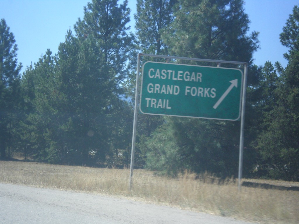
End BC-3A West at BC-3
End BC-3A West at BC-3. Use BC-3 West for Castlegar, Grand Forks, and Trail.
Taken 07-29-2017

 Castlegar
Central Kootenay
British Columbia
Canada
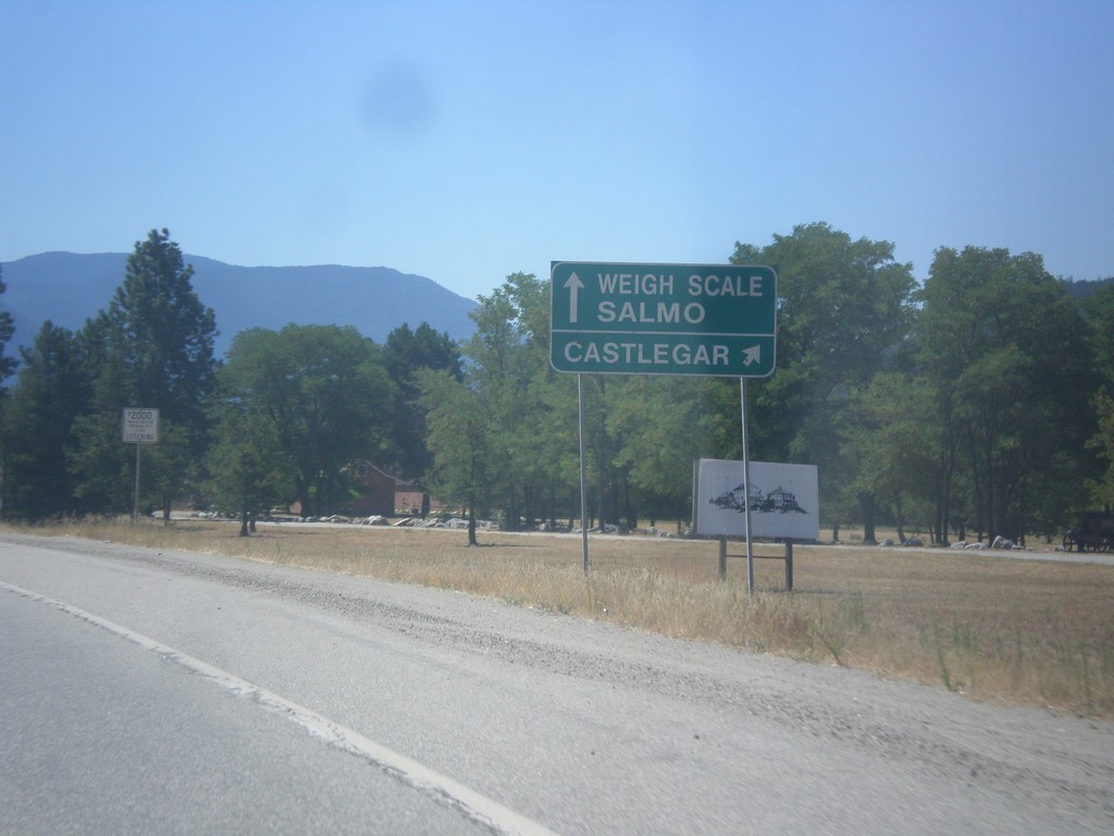
BC-3A West approaching BC-3
BC-3A West approaching BC-3. Use right lane for BC-3 West/Castlegar. Use left lane for BC-3 East/Weigh Station/Salmo.
Taken 07-29-2017

 Castlegar
Central Kootenay
British Columbia
Canada
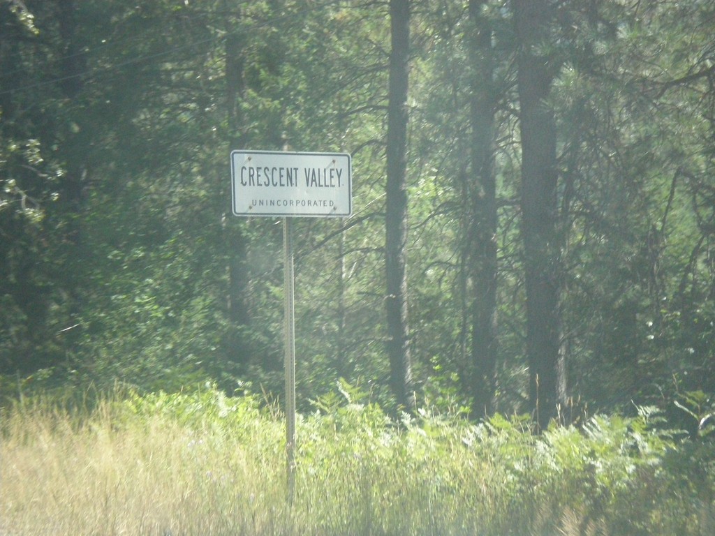
BC-6 South - Entering Crescent Valley
BC-6 South - Entering Crescent Valley (Unincorporated).
Taken 07-28-2017
 Castlegar
Central Kootenay
British Columbia
Canada