Signs Tagged With Big Green Sign
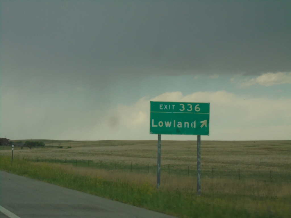
I-70 West - Exit 336
I-70 west at Exit 336 - Lowland
Taken 06-20-2026


 Elbert County
Colorado
United States
Elbert County
Colorado
United States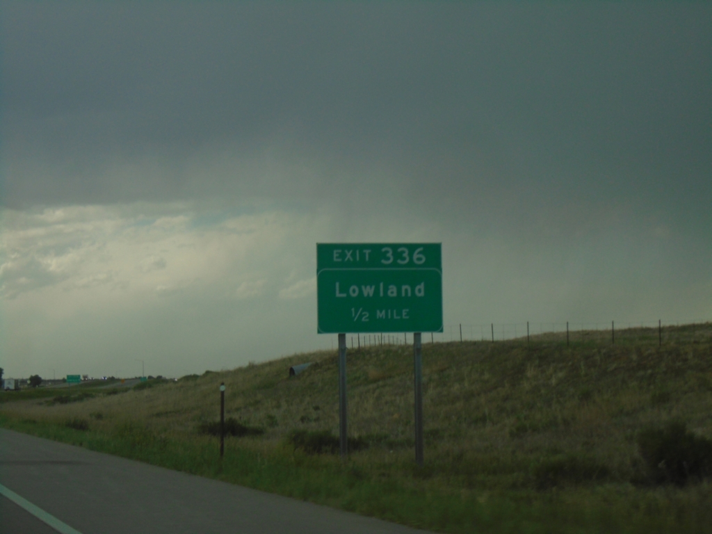
I-70 West - Exit 336
I-70 west approaching Exit 336 - Lowland.
Taken 06-20-2026
Agate
Elbert County
Colorado
United States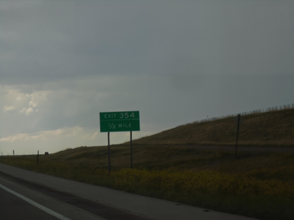
I-70 West - Exit 354
I-70 west approaching Exit 354. Exit 354 does not have any named destinations.
Taken 06-20-2026
Elbert County
Colorado
United States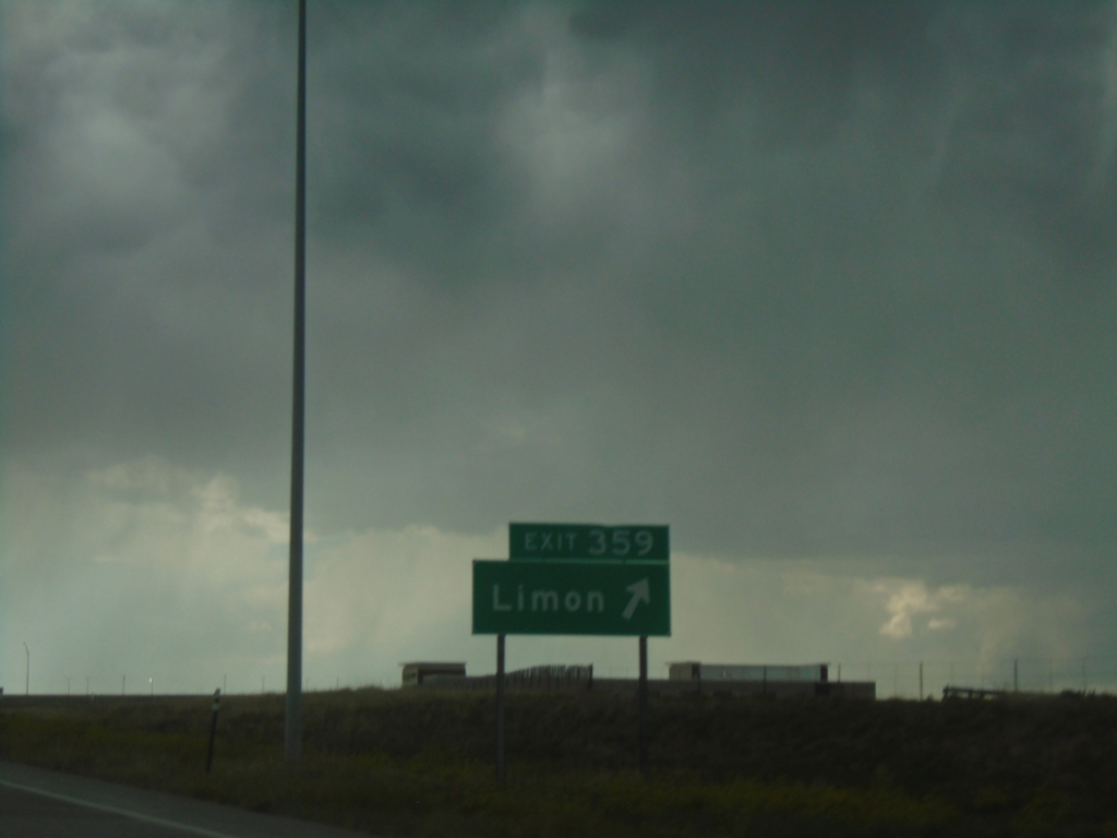
I-70 West - Exit 359
I-70 west at Exit 359 - Limon
Taken 06-20-2026
 Limon
Lincoln County
Colorado
United States
Limon
Lincoln County
Colorado
United States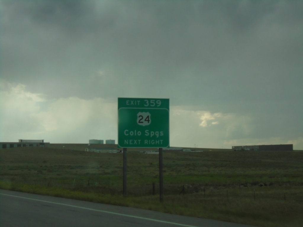
I-70 West - Exit 359
I-70 west approaching Exit 359. Use Exit 359 for US-24 West to Colorado Springs.
Taken 06-20-2026
 Limon
Lincoln County
Colorado
United States
Limon
Lincoln County
Colorado
United States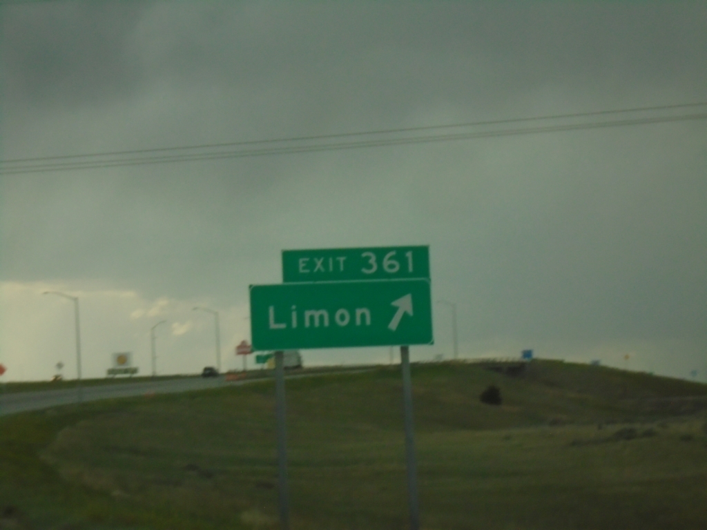
I-70 West - Exit 361
I-70 west at Exit 361 - Limon
Taken 06-20-2026
Limon
Lincoln County
Colorado
United States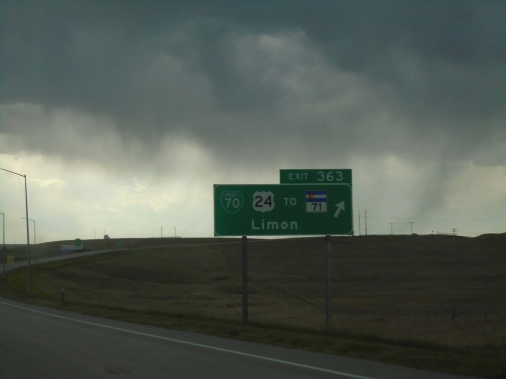
I-70 West - Exit 363
I-70 west at Exit 363 - BL-70/US-24/To CO-71/Limon. US-24 leaves I-70 here westbound.
Taken 06-20-2026
 Lincoln County
Colorado
United States
Lincoln County
Colorado
United States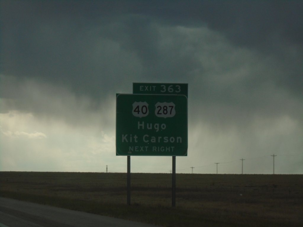
I-70 West - Exit 363
I-70 west approaching Exit 363. Use Exit 363 for US-40/US-287/Hugo/Kit Carson.
Taken 06-20-2026
Lincoln County
Colorado
United States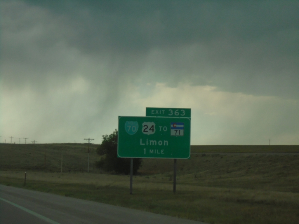
I-70 West - Exit 363
I-70 west approaching Exit 363 - BL-70/US-24/To CO-71/Limon
Taken 06-20-2026
Genoa
Lincoln County
Colorado
United States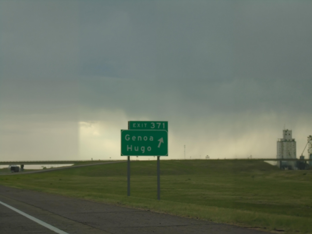
I-70 West - Exit 371
I-70 west at Exit 371 - Genoa/Hugo
Taken 06-20-2026
Genoa
Lincoln County
Colorado
United States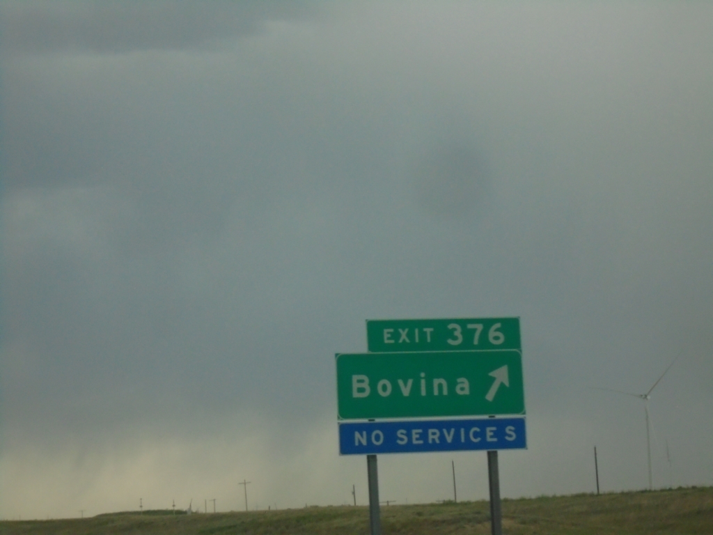
I-70 West - Exit 376
I-70 west at Exit 376 - Bovina.
Taken 06-20-2026
Genoa
Lincoln County
Colorado
United States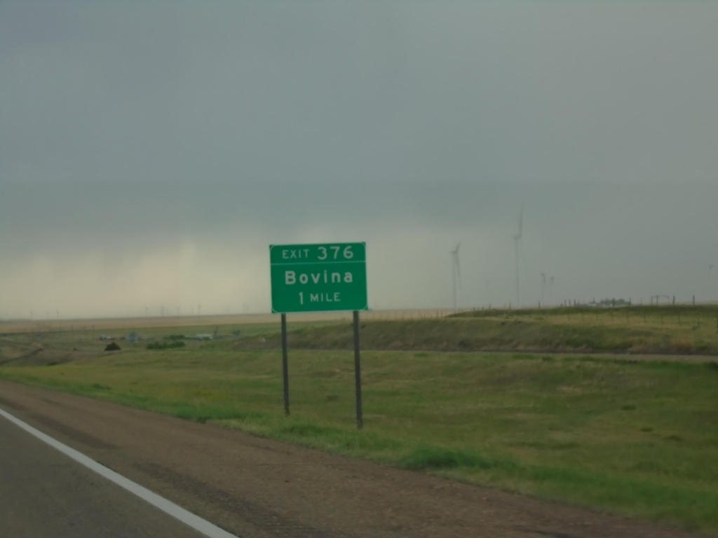
I-70 West - Exit 376
I-70 west approaching Exit 376 - Bovina
Taken 06-20-2026
Bovina
Lincoln County
Colorado
United States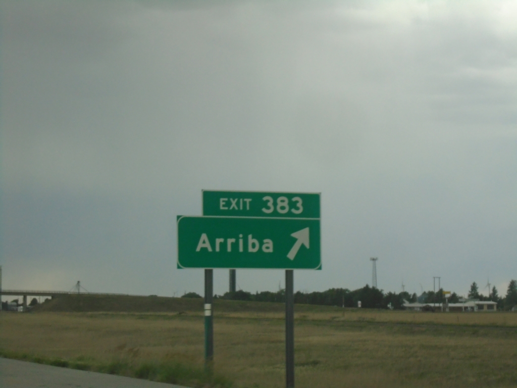
I-70 West - Exit 383
I-70 west at Exit 383 - Arriba
Taken 06-20-2026
Arriba
Lincoln County
Colorado
United States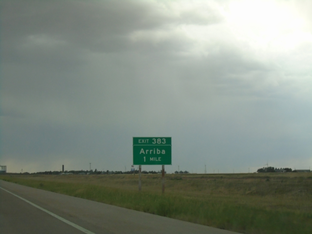
I-70 West - Exit 383
I-70 west approaching Exit 383 - Arriba
Taken 06-20-2026
Lincoln County
Colorado
United States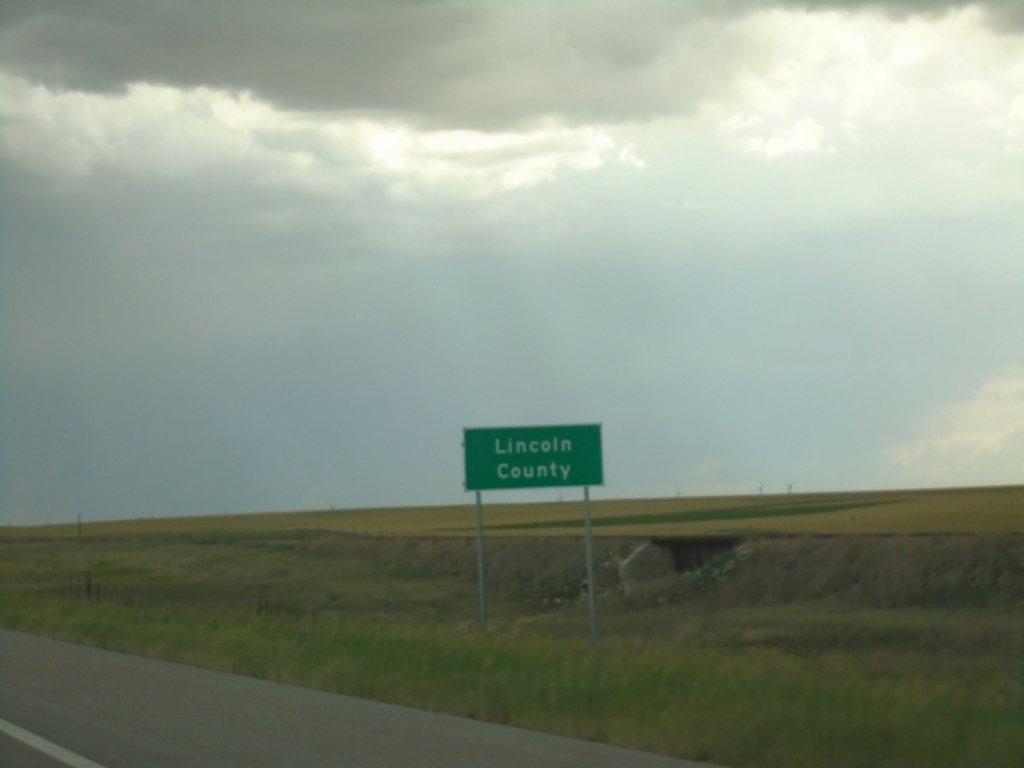
I-70 - Lincoln County
Entering Lincoln County on I-70 west.
Taken 06-20-2026
Lincoln County
Colorado
United States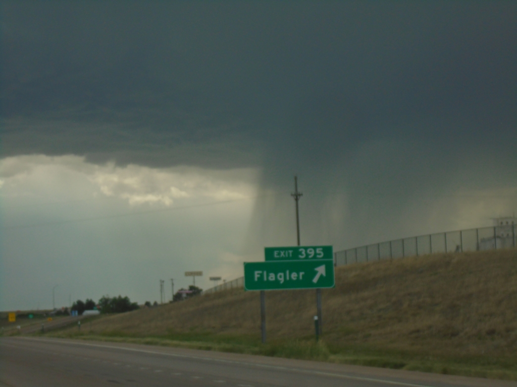
I-70 West - Exit 395
I-70 west at Exit 395 - Flagler. A thunderstorm is in the background of the photograph. This day ended up having Severe Thunderstorms all over eastern Colorado and western Kansas, with most of that area also being under a Tornado Watch.
Taken 06-20-2026
Flagler
Kit Carson County
Colorado
United States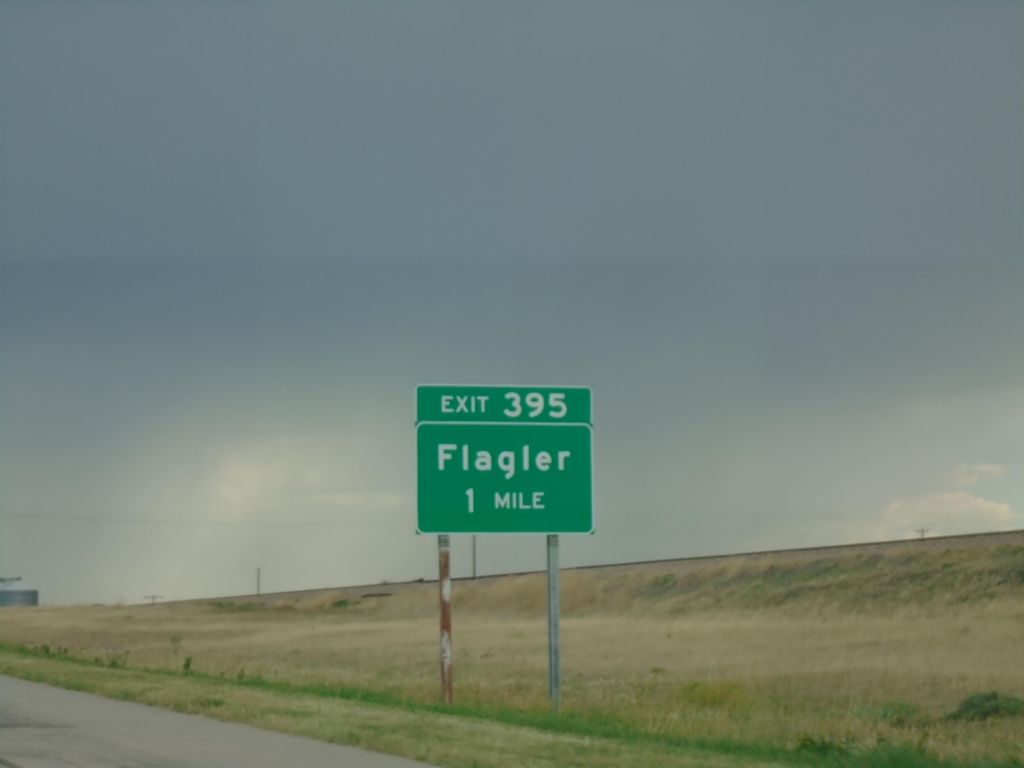
I-70 West - Exit 395
I-70 west approaching Exit 395 - Flagler
Taken 06-20-2026
Kit Carson County
Colorado
United States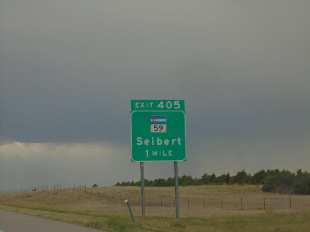
I-70 West - Exit 405
I-70 west approaching Exit 405 - CO-59/Seibert.
Taken 06-20-2026
 Kit Carson County
Colorado
United States
Kit Carson County
Colorado
United States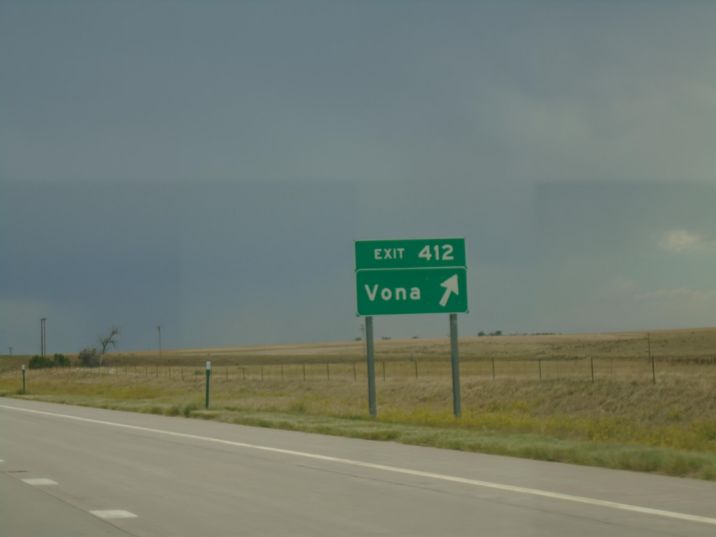
I-70 West - Exit 412
I-70 west at Exit 412 - Vona
Taken 06-20-2026
Kit Carson County
Colorado
United States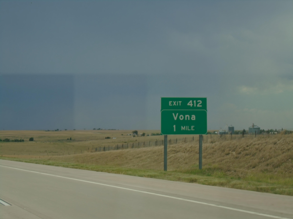
I-70 West - Exit 412
I-70 west approaching Exit 412 - Vona
Taken 06-20-2026
Kit Carson County
Colorado
United States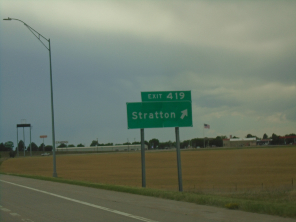
I-70 West - Exit 419
I-70 west at Exit 419 - Stratton.
Taken 06-20-2026
Stratton
Kit Carson County
Colorado
United States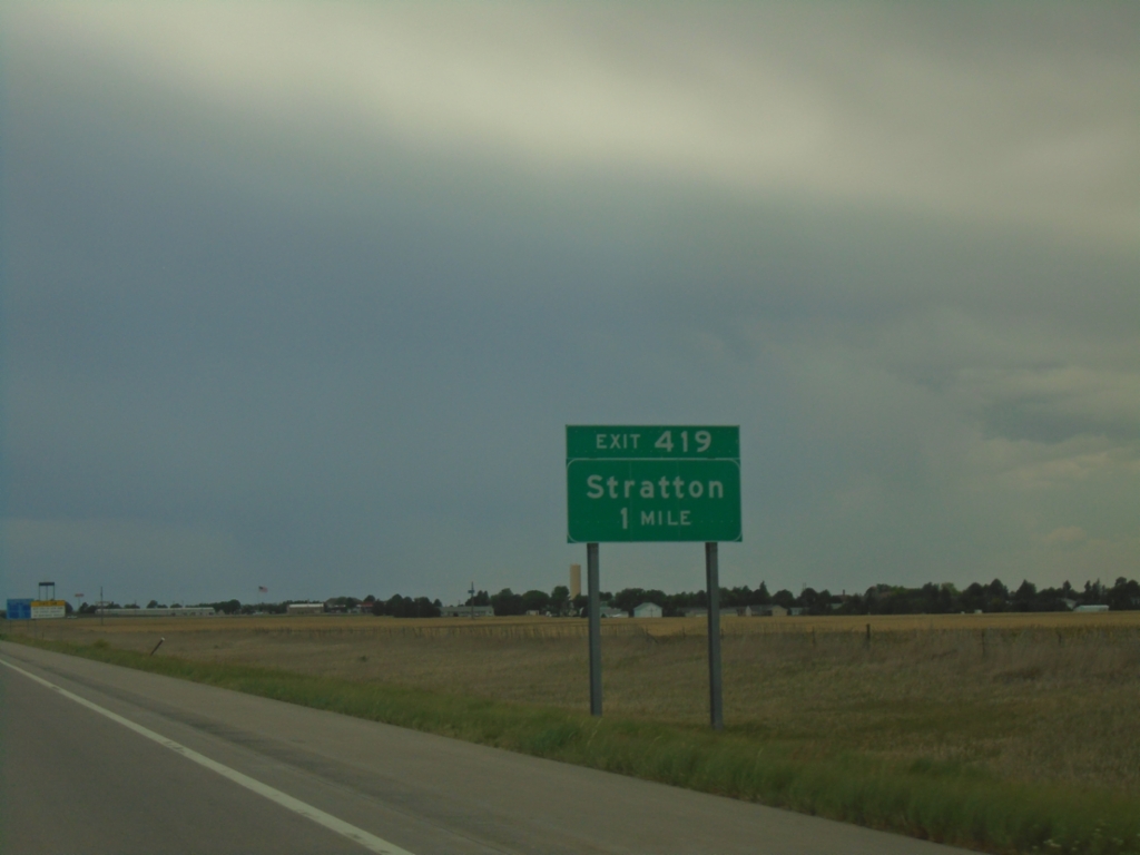
I-70 West - Exit 419
I-70 west approaching Exit 419 - Stratton.
Taken 06-20-2026
Kit Carson County
Colorado
United States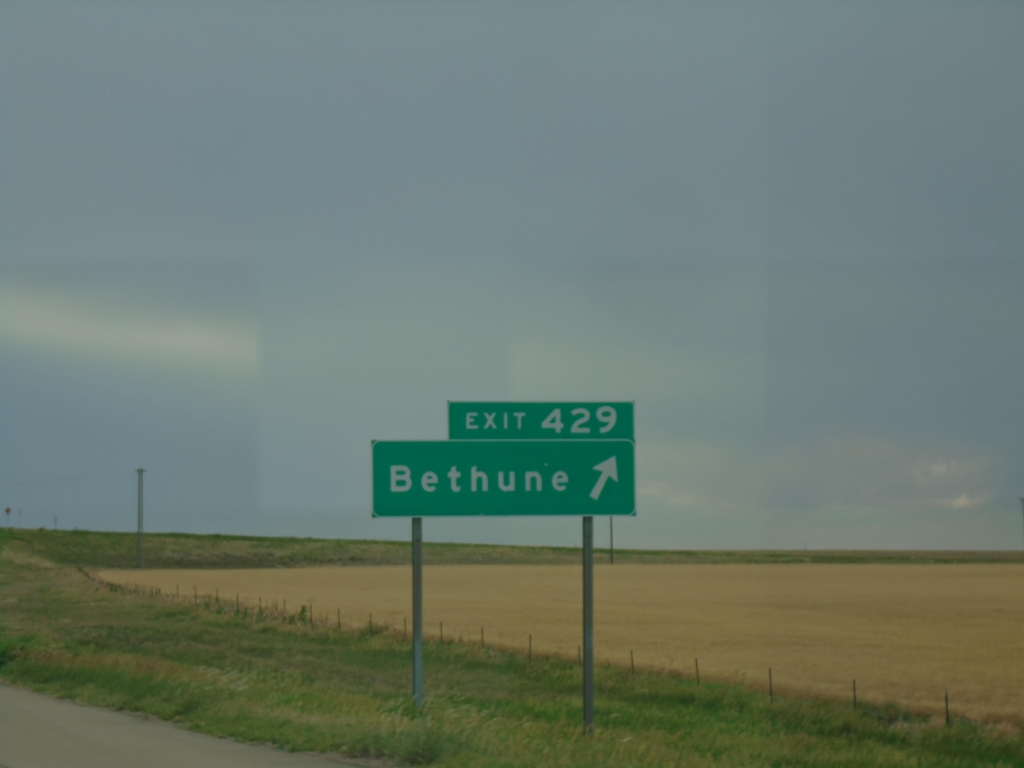
I-70 West - Exit 429
I-70 west at Exit 429 - Bethune.
Taken 06-20-2026
Bethune
Kit Carson County
Colorado
United States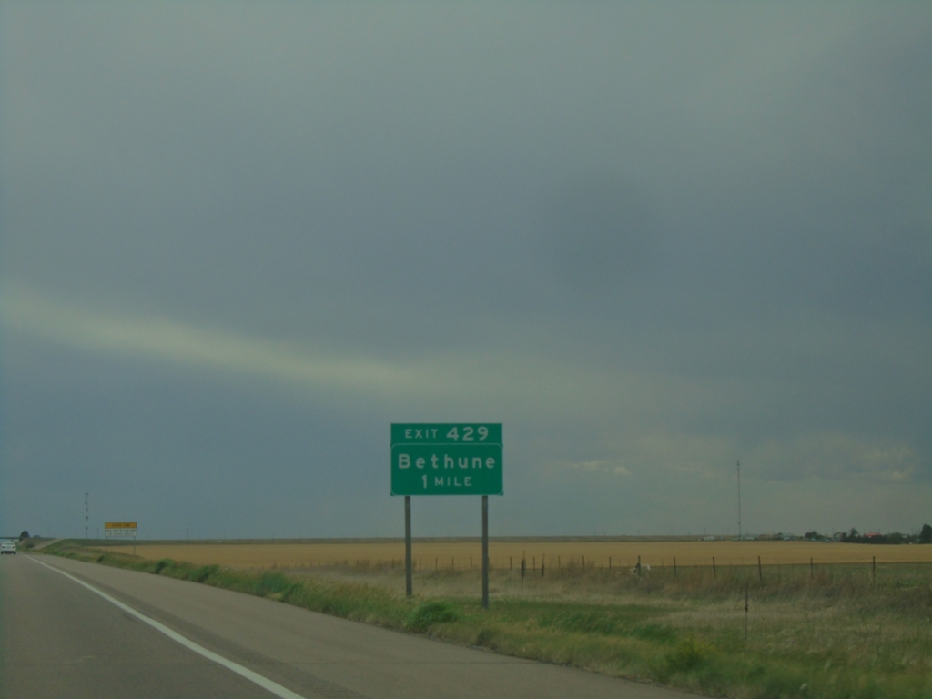
I-70 West - Exit 429
I-70 west approaching Exit 429 - Bethune.
Taken 06-20-2026
West Burlington
Kit Carson County
Colorado
United States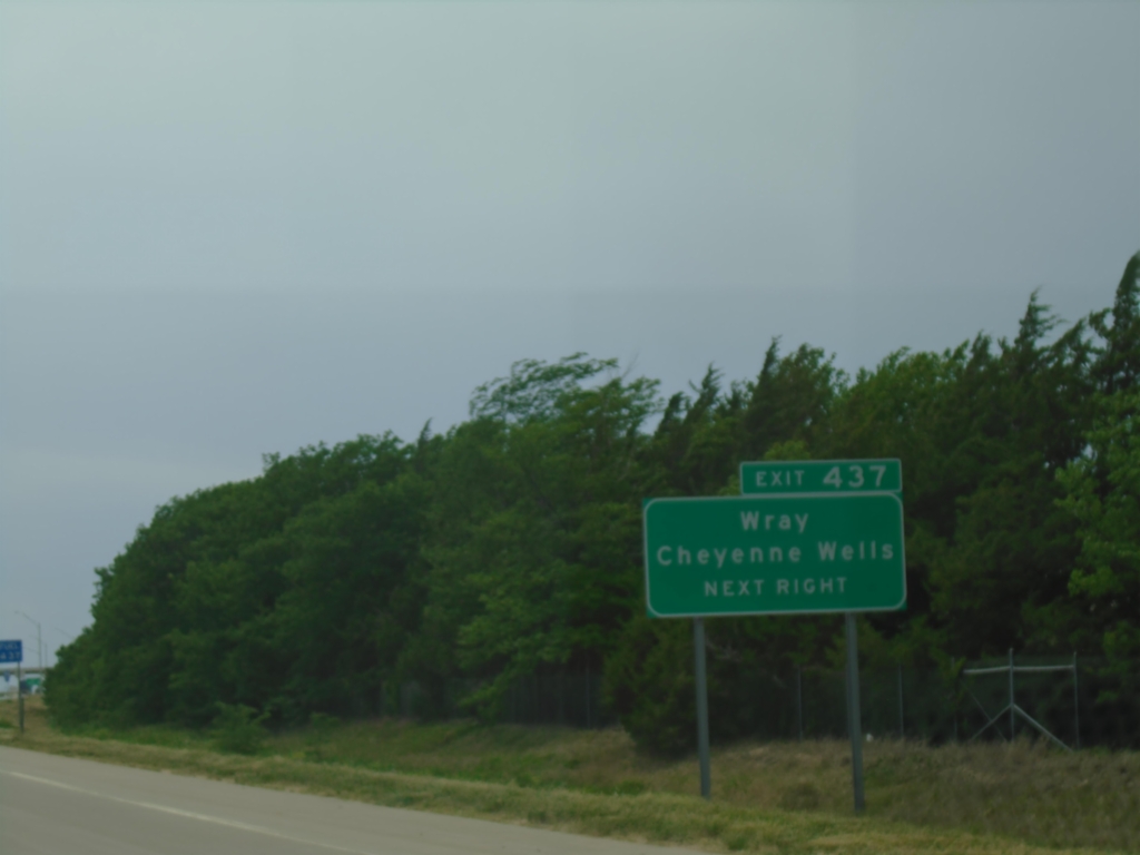
I-70 West - Exit 437
I-70 west approaching Exit 437. Use Exit 437 for Cheyenne Wells and Wray (both via US-385).
Taken 06-20-2026
 Kit Carson County
Colorado
United States
Kit Carson County
Colorado
United States