Signs Tagged With Big Green Sign
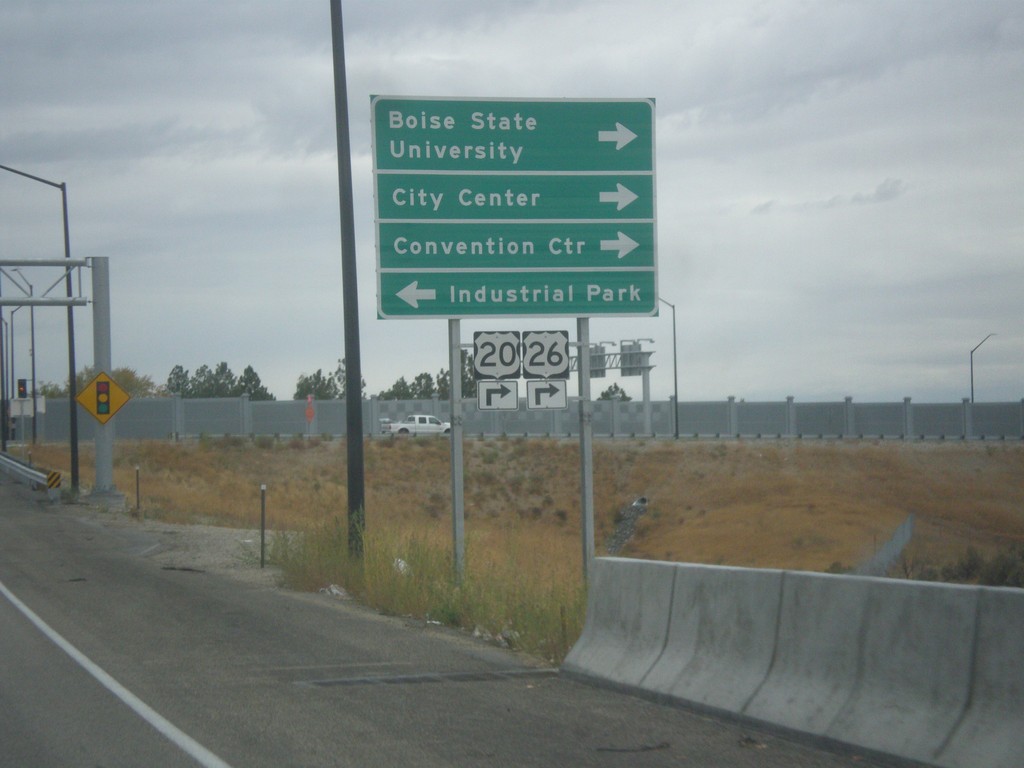
I-84 West Offramp at US-20/US-26 - Broadway Ave.
I-84 West Offramp at US-20/US-26 - Broadway Ave. Turn right on Broadway Ave. to continue west on US-20/US-26, Boise State University, Convention Center, and City Center. Turn left for Broadway Ave. south to Industrial Park. US-20/US-26 leaves I-84 westbound here, and rejoins I-84 in Caldwell.
Taken 10-15-2016


 Boise
Ada County
Idaho
United States
Boise
Ada County
Idaho
United States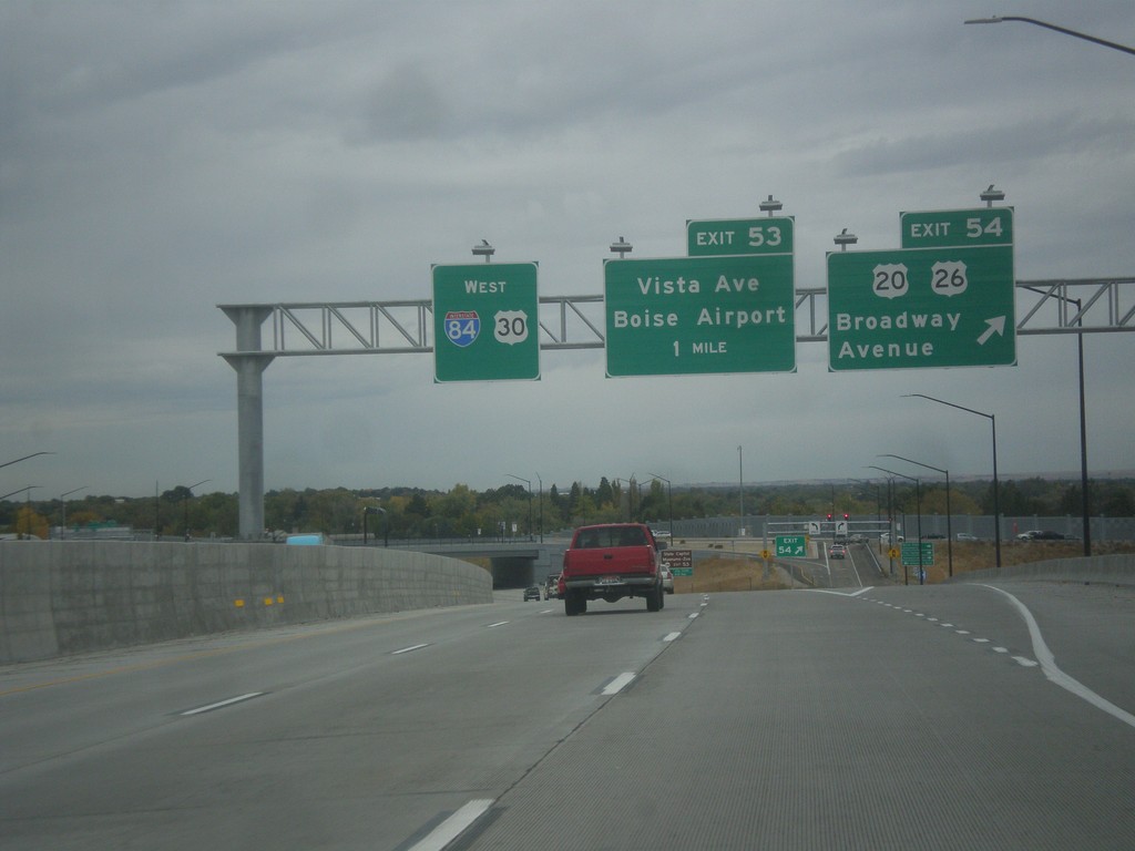
I-84 West - Exits 53 and 54
I-84 west at Exit 54 - US-20/US-26/Broadway Ave. Approaching Exit 53 - Vista Ave./Boise Airport. US-20/US-26 leave I-84 here.
Taken 10-15-2016
Boise
Ada County
Idaho
United States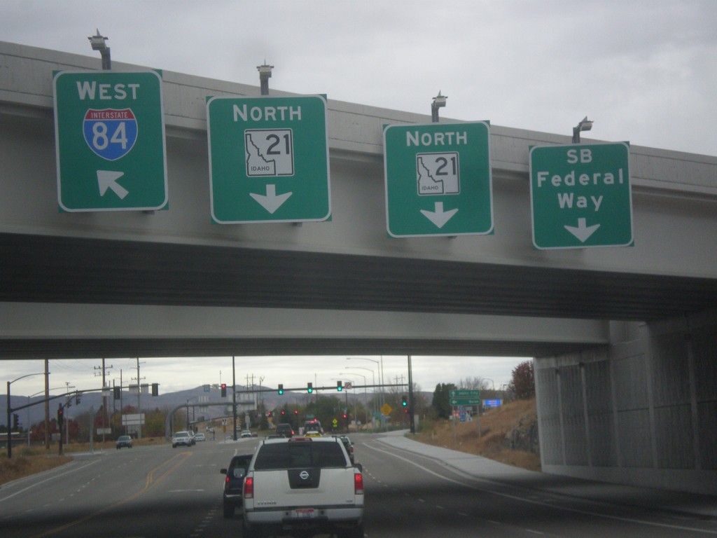
Begin ID-21 North at I-84
Begin ID-21 North at I-84. Use left lane for I-84 west; use right lane for Southbound Federal Way.
Taken 10-15-2016
 Boise
Ada County
Idaho
United States
Boise
Ada County
Idaho
United States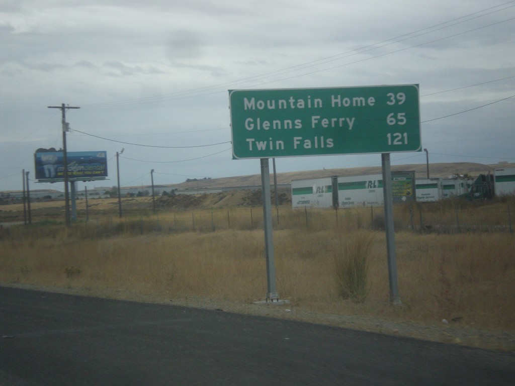
I-84 East - Distance Marker
Distance marker on I-84 east. Distance to Mountain Home, Glenns Ferry, and Twin Falls.
Taken 10-15-2016
Boise
Ada County
Idaho
United States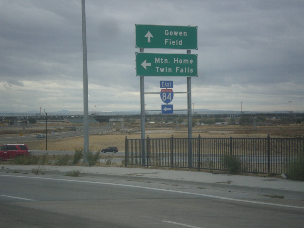
Orchard St. South at I-84 East
Orchard St. South at I-84 East to Mountain Home and Twin Falls. Orchard St. continues south as Gowen Road.
Taken 10-15-2016
Boise
Ada County
Idaho
United States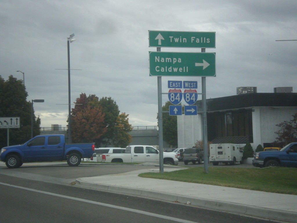
Orchard St. South at I-84
Orchard St. South at I-84. Use I-84 west for Nampa and Caldwell; I-84 east for Twin Falls.
Taken 10-15-2016
Boise
Ada County
Idaho
United States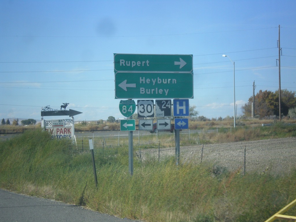
I-84 West Exit 211 Offramp at US-30/ID-24
I-84 west on Exit 211 offramp. Turn right for ID-24 west to Rupert; turn left for BL-84 West/US-30 West to Burley and Heyburn.
Taken 10-09-2016

 Heyburn
Minidoka County
Idaho
United States
Heyburn
Minidoka County
Idaho
United States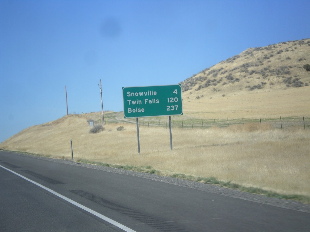
I-84 West - Distance Marker
Distance marker on I-84 west. Distance to Snowville, Twin Falls (ID), and Boise(ID).
Taken 10-09-2016
Snowville
Box Elder County
Utah
United States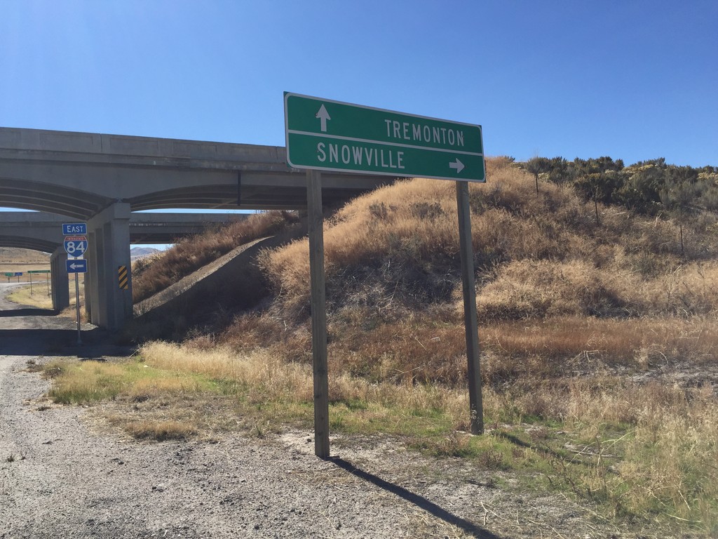
I-84 Onramp at Blue Creek IC
I-84 Onramp at Blue Creek IC in Box Elder County. Use I-84 west to Snowville; I-84 east to Tremonton.
Taken 10-09-2016
Howell
Box Elder County
Utah
United States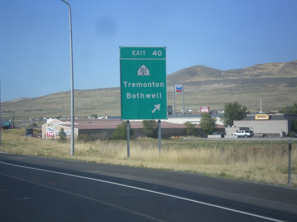
I-84 West - Exit 40
I-84 west at Exit 40 - UT-102/Tremonton/Bothwell.
Taken 10-09-2016
 Tremonton
Box Elder County
Utah
United States
Tremonton
Box Elder County
Utah
United States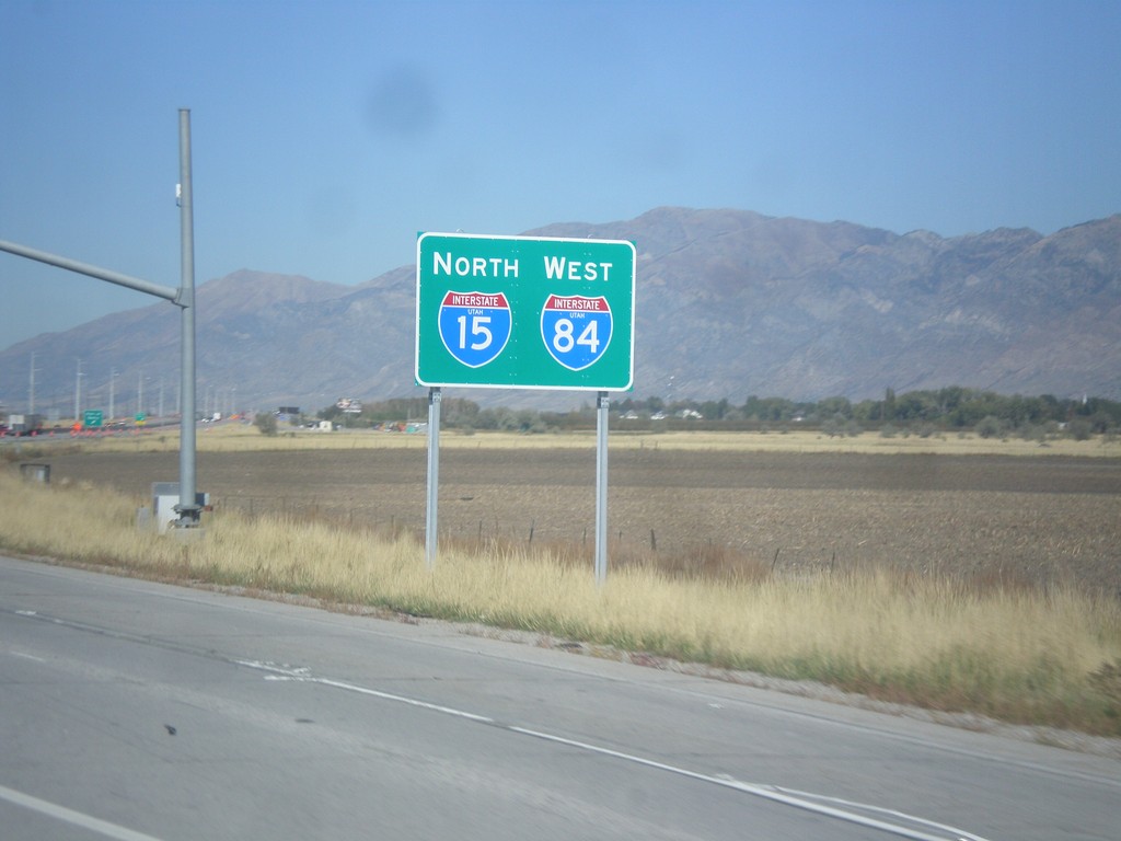
I-15 North/I-84 West - Willard
I-15 North/I-84 West in Willard.
Taken 10-09-2016
 Willard
Box Elder County
Utah
United States
Willard
Box Elder County
Utah
United States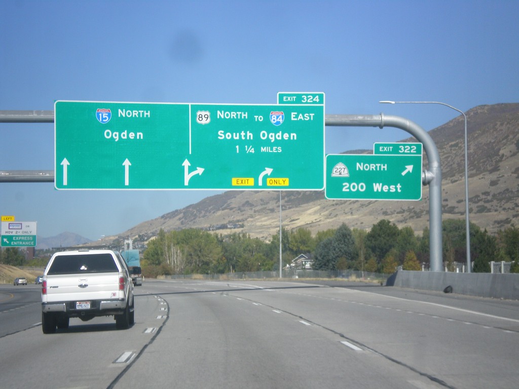
I-15 North - Exit 322
I-15 north at Exit 322 - UT-227 North/200 West. Approaching Exit 324 - US-89 North/To I-84 East/South Ogden. Continue north on I-15 to Ogden.
Taken 10-09-2016

 Farmington
Davis County
Utah
United States
Farmington
Davis County
Utah
United States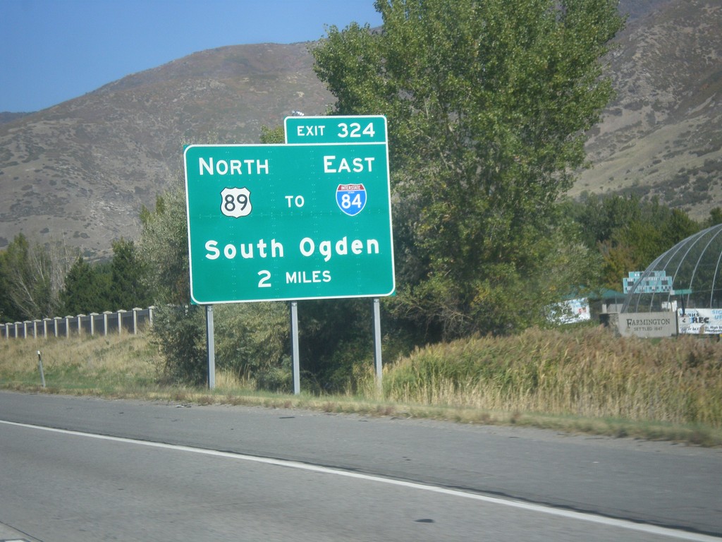
I-15 North - Exit 324
I-15 north approaching Exit 324 - US-89 North/To I-84 East/South Ogden.
Taken 10-09-2016
Centerville
Davis County
Utah
United States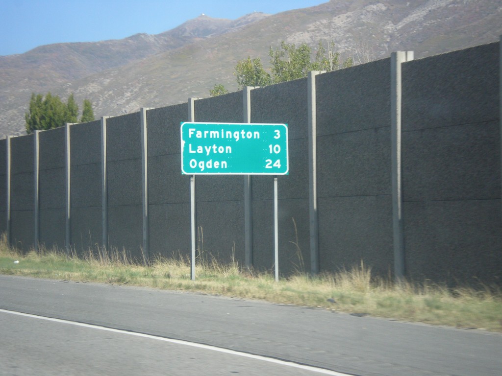
I-15 North - Distance Marker
Distance marker on I-15 north. Distance to Farmington, Layton, and Ogden.
Taken 10-09-2016
Centerville
Davis County
Utah
United States
UT-68 West at I-15
UT-68 West at I-15. Use I-15 north to Ogden; I-15 south to Salt Lake City.
Taken 10-09-2016
 Bountiful
Davis County
Utah
United States
Bountiful
Davis County
Utah
United States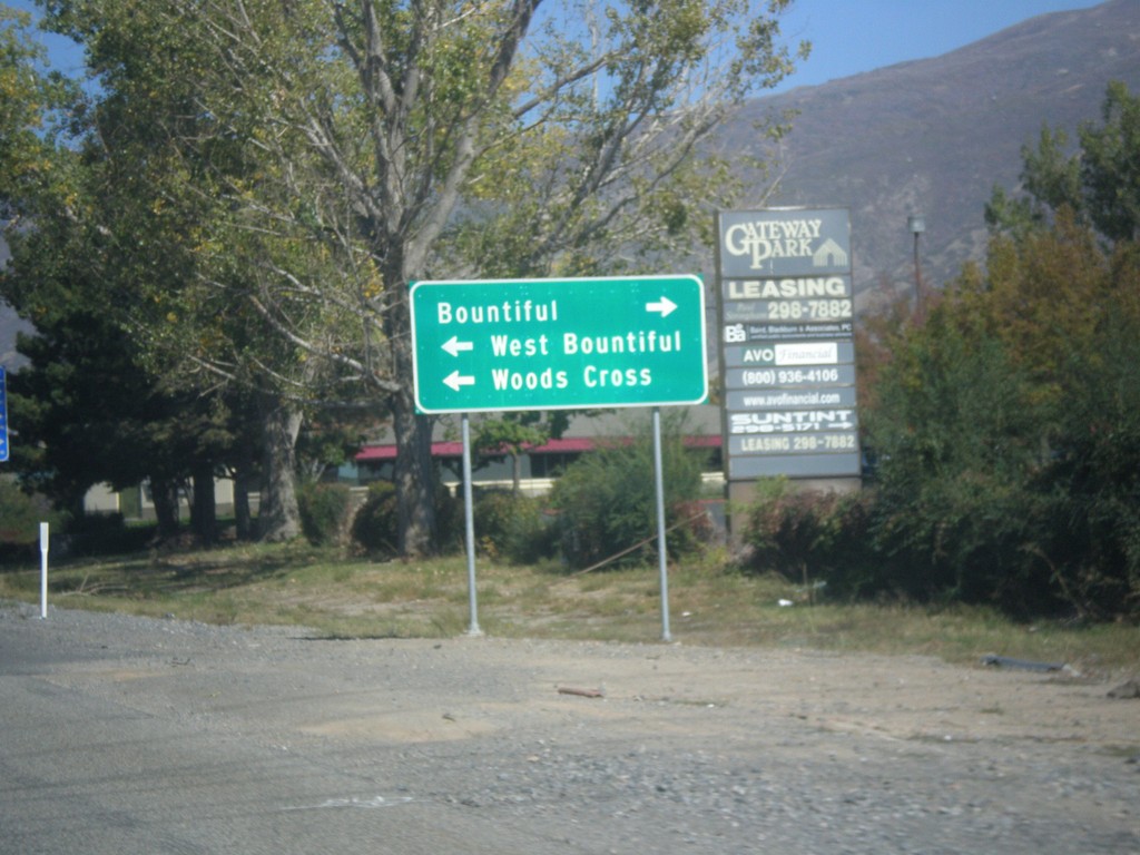
I-15 Exit 316 Offramp at UT-68
I-15 Exit 316 Offramp at UT-68 (West 500 South). Turn left for Woods Cross and West Bountiful. Turn right for Bountiful.
Taken 10-09-2016
Bountiful
Davis County
Utah
United States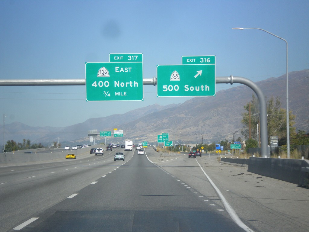
I-15 North - Exit 316
I-15 north at Exit 316 - UT-68/500 South. Approaching Exit 317 - UT-106 East/400 North.
Taken 10-09-2016
 Woods Cross
Davis County
Utah
United States
Woods Cross
Davis County
Utah
United States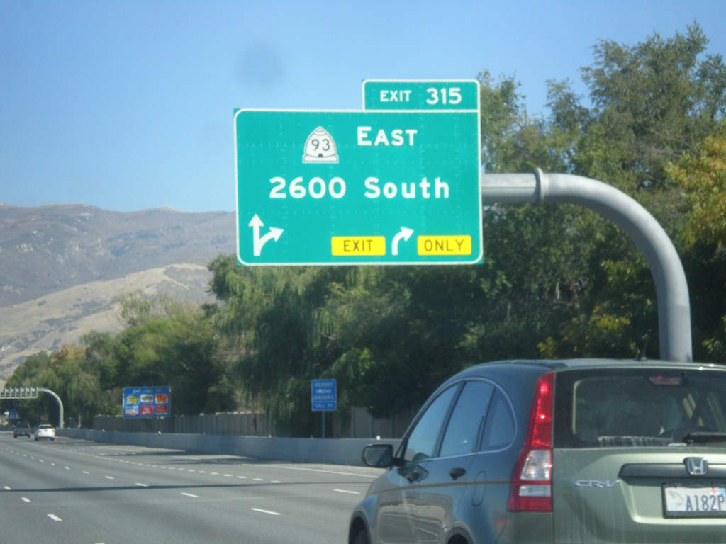
I-15 North - Exit 315
I-15 north at Exit 315 - UT-93 East/2600 South.
Taken 10-09-2016
 North Salt Lake
Davis County
Utah
United States
North Salt Lake
Davis County
Utah
United States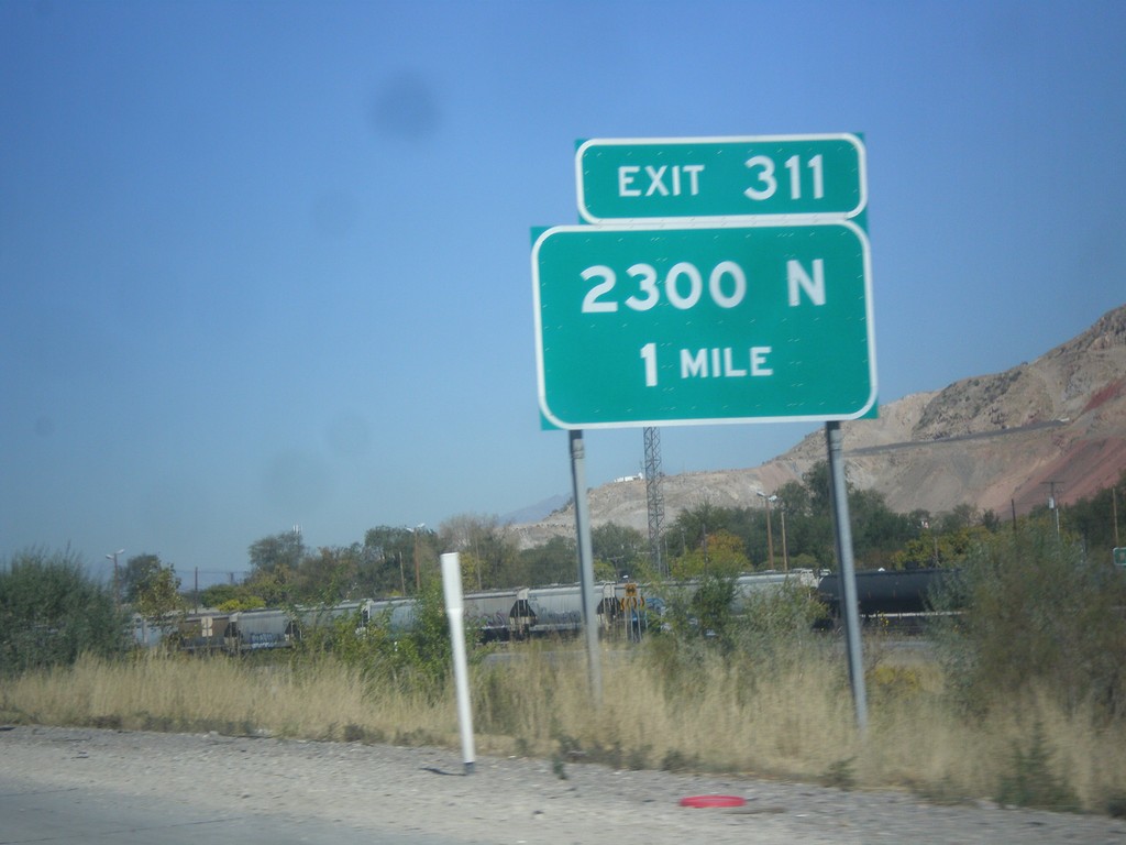
I-15 North - Exit 311
I-15 north approaching Exit 311 - 2300 North.
Taken 10-09-2016
Salt Lake City
Salt Lake County
Utah
United States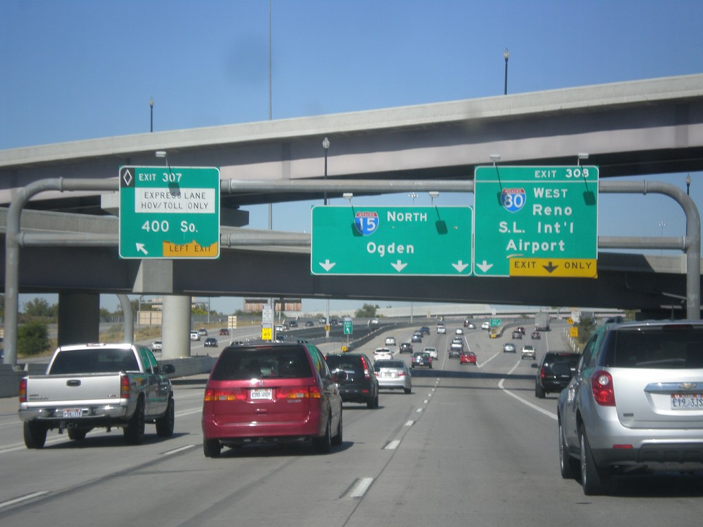
I-15 North/I-80 West - Exits 307 and Exit 308
I-15 North/I-80 West at Exit 307 (HOV) - 400 South. Approaching Exit 308 - I-80 West/Reno/Salt Lake International Airport. I-15 continues north to Ogden.
Taken 10-09-2016
 Salt Lake City
Salt Lake County
Utah
United States
Salt Lake City
Salt Lake County
Utah
United States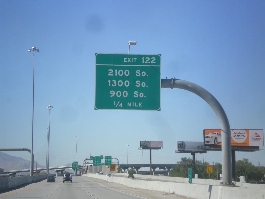
I-80 West - Exit 122
I-80 west approaching Exit 122 - 2100 South/1300 South/900 South.
Taken 10-09-2016
South Salt Lake
Salt Lake County
Utah
United States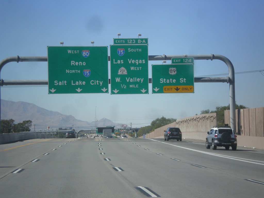
I-80 West Exit 124 and 123 B-A
I-80 West approaching Exit 124 - US-89/State St. Approaching Exit 123B-A - I-15 South/Las Vegas/UT-201 West/West Valley. Use left lanes for I-80 West/Reno/I-15 North/Salt Lake City. I-80 joins I-15 north through downtown Salt Lake City.
Taken 10-09-2016
South Salt Lake
Salt Lake County
Utah
United States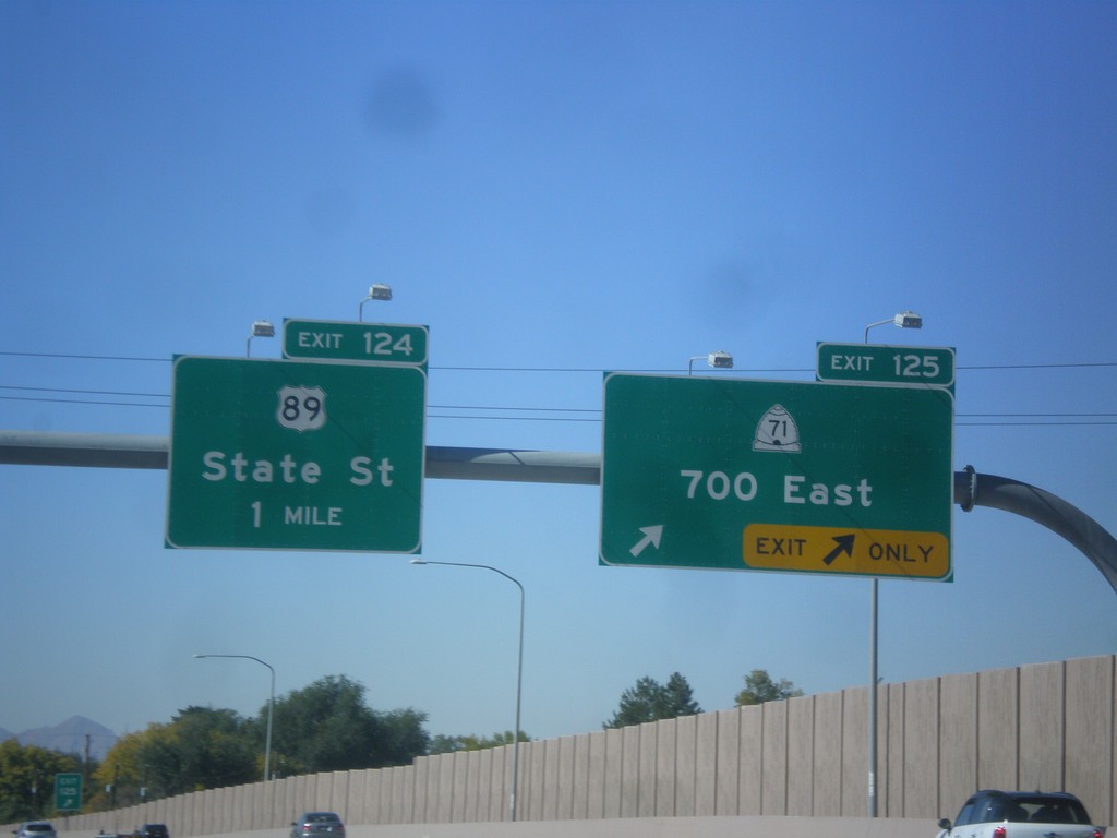
I-80 West - Exits 124 and 125
I-80 west at Exit 125 - UT-71/700 East. Approaching Exit 124 - US-89/State St.
Taken 10-09-2016
 Salt Lake City
Salt Lake County
Utah
United States
Salt Lake City
Salt Lake County
Utah
United States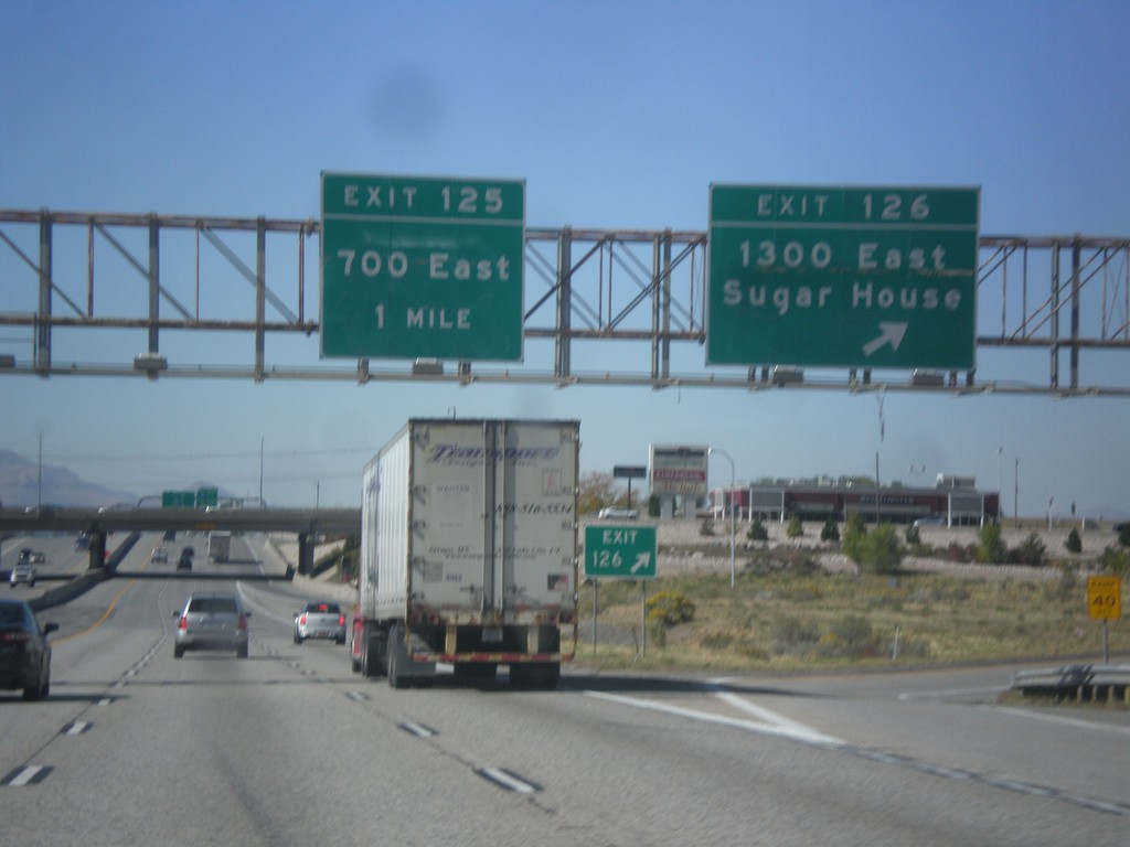
I-80 West - Exits 125 and 126
I-80 West at Exit 126 - 1300 East/Sugar House. Approaching Exit 125 - 700 East.
Taken 10-09-2016
Salt Lake City
Salt Lake County
Utah
United States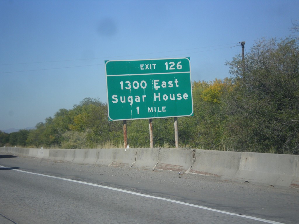
I-80 West - Exit 126
I-80 approaching Exit 126 - 1300 East/Sugar House
Taken 10-09-2016
Salt Lake City
Salt Lake County
Utah
United States