Signs Tagged With Big Green Sign
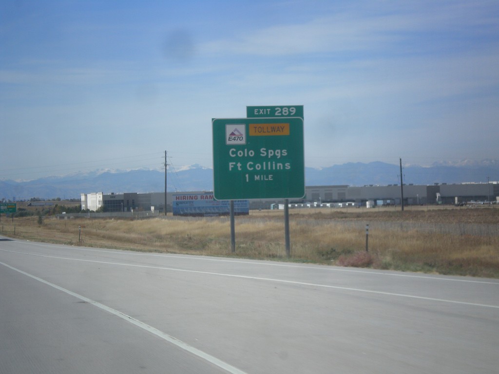
I-70 West - Exit 287
I-70 West at E-470 Junction to Colorado Springs and Fort Collins. E-470 is part of the beltway around Denver. The eastern part of the beltway is tolled and is signed as E-470. The western part of the beltway is free and is signed as CO-470.
Taken 10-08-2016


 Aurora
Adams County
Colorado
United States
Aurora
Adams County
Colorado
United States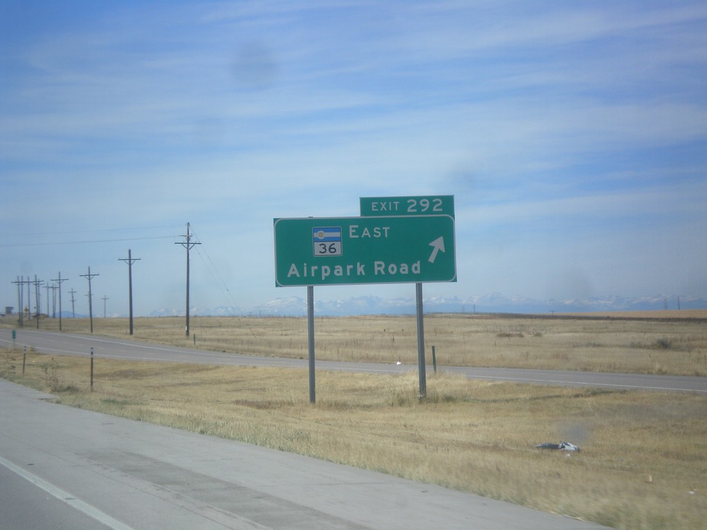
I-70 West - Exit 292
I-70 west at Exit 292 - CO-36 East/Airpark Road.
Taken 10-08-2016
 Watkins
Adams County
Colorado
United States
Watkins
Adams County
Colorado
United States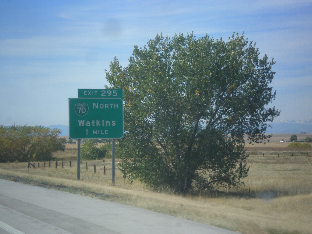
I-70 West - Exit 295
I-70 west approaching Exit 295 - BL-70 North/Watkins.
Taken 10-08-2016
 Watkins
Adams County
Colorado
United States
Watkins
Adams County
Colorado
United States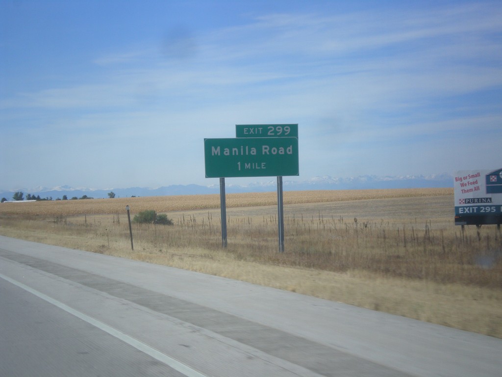
I-70 West - Exit 299
I-70 west approaching Exit 299 - Manilla Road.
Taken 10-08-2016
Bennett
Adams County
Colorado
United States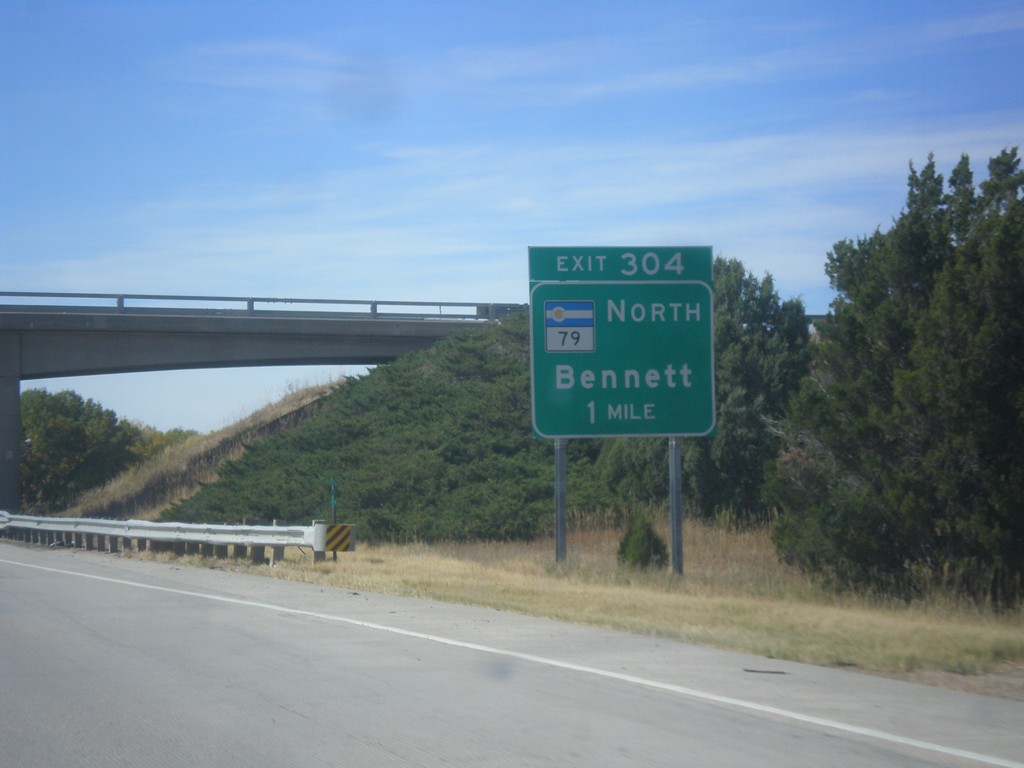
I-70 West - Exit 304
I-70 West approaching Exit 304 - CO-79 North/Bennett
Taken 10-08-2016
 Bennett
Adams County
Colorado
United States
Bennett
Adams County
Colorado
United States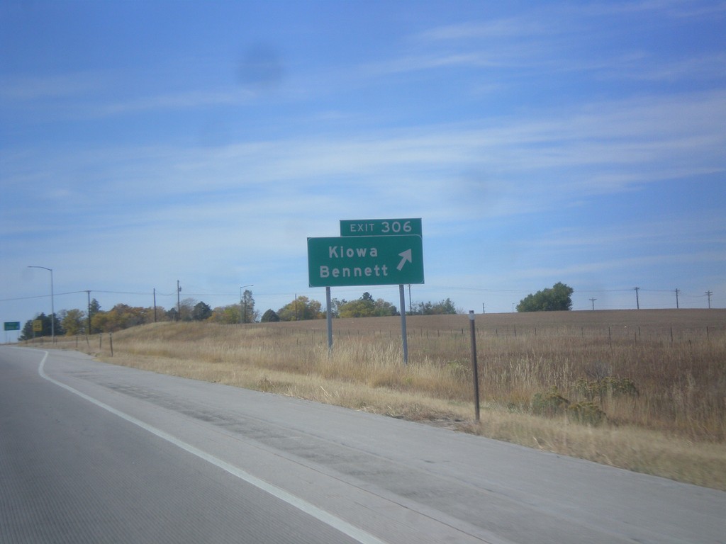
I-70 West - Exit 306
I-70 west at Exit 306 - Kiowa/Bennett.
Taken 10-08-2016
Bennett
Arapahoe County
Colorado
United States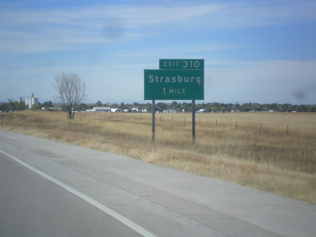
I-70 West - Exit 310
I-70 west approaching Exit 310 - Strasburg.
Taken 10-08-2016
Strasburg
Arapahoe County
Colorado
United States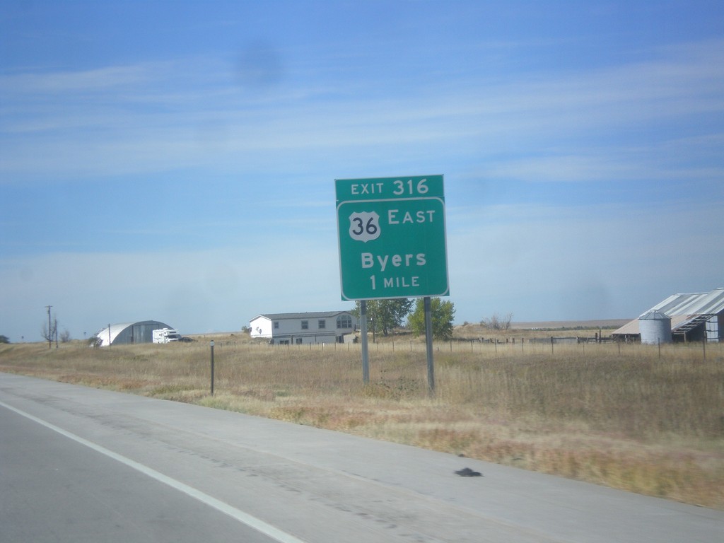
I-70 West - Exit 316
I-70 west approaching Exit 316 - US-36 East/Byers. US-36 joins I-70 westbound to Denver.
Taken 10-08-2016
Byers
Arapahoe County
Colorado
United States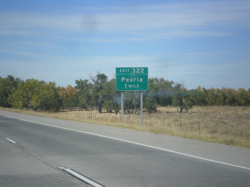
I-70 West - Exit 322
I-70 west approaching Exit 322 - Peoria.
Taken 10-08-2016
Deer Trail
Arapahoe County
Colorado
United States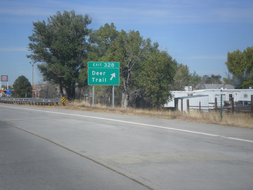
I-70 West - Exit 328
I-70 west at Exit 328 - Deer Trail
Taken 10-08-2016
Deer Trail
Arapahoe County
Colorado
United States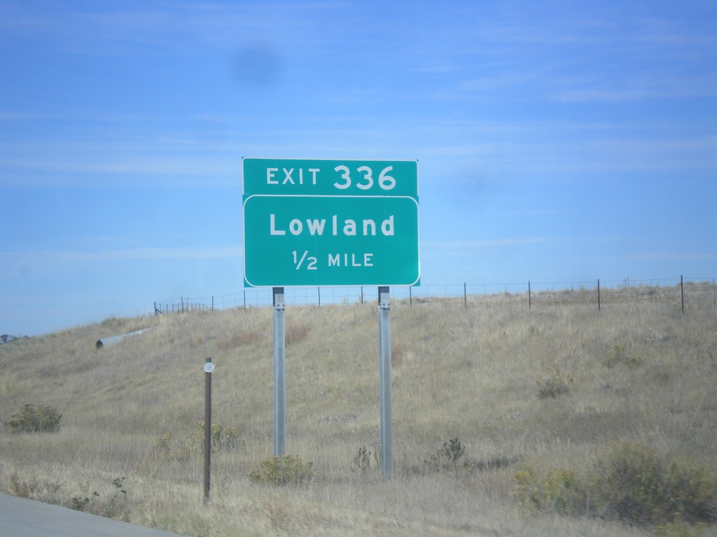
I-70 West - Exit 336
I-70 west approaching Exit 336 - Lowland.
Taken 10-08-2016
Agate
Elbert County
Colorado
United States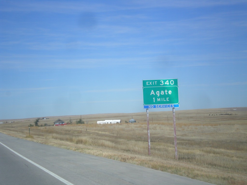
I-70 West - Exit 340
I-70 west approaching Exit 340 - Agate.
Taken 10-08-2016
Agate
Elbert County
Colorado
United States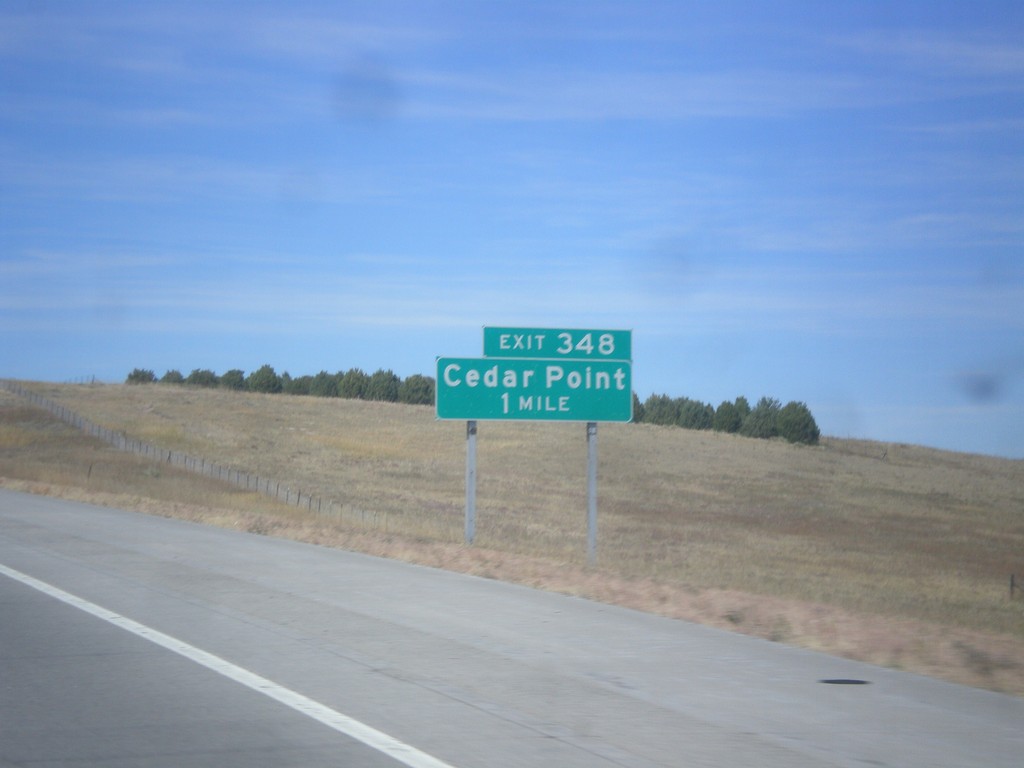
I-70 West - Exit 348
I-70 west approaching Exit 348 - Cedar Point
Taken 10-08-2016
Matheson
Elbert County
Colorado
United States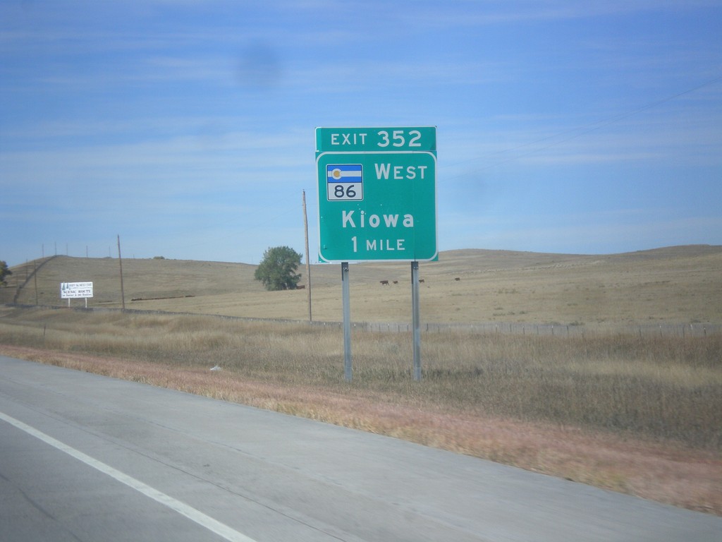
I-70 West - Exit 352
I-70 west approaching Exit 352 - CO-86 West/Kiowa.
Taken 10-08-2016
 Limon
Elbert County
Colorado
United States
Limon
Elbert County
Colorado
United States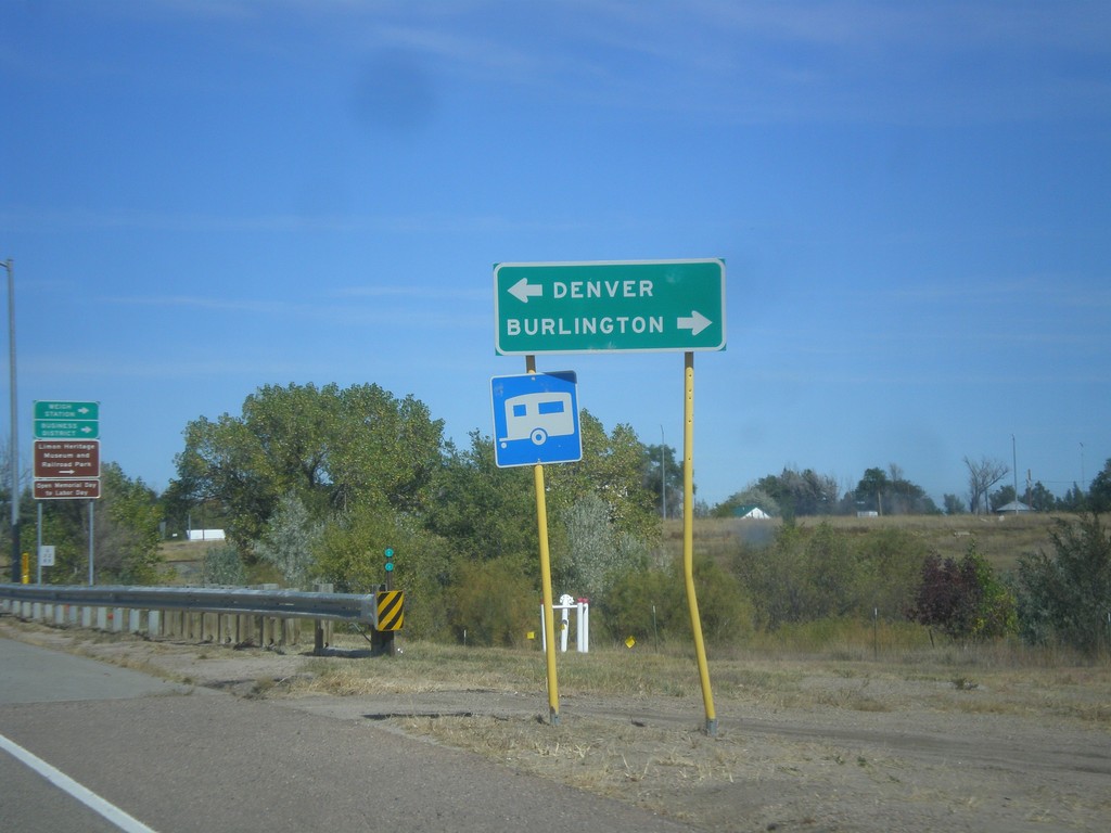
CO-71 North at US-24/US-40/US-287
CO-71 North at US-24/US-40/US-287 in Limon. Turn right for Burlington (via I-70); turn left for Denver (via I-70).
Taken 10-08-2016

 Limon
Lincoln County
Colorado
United States
Limon
Lincoln County
Colorado
United States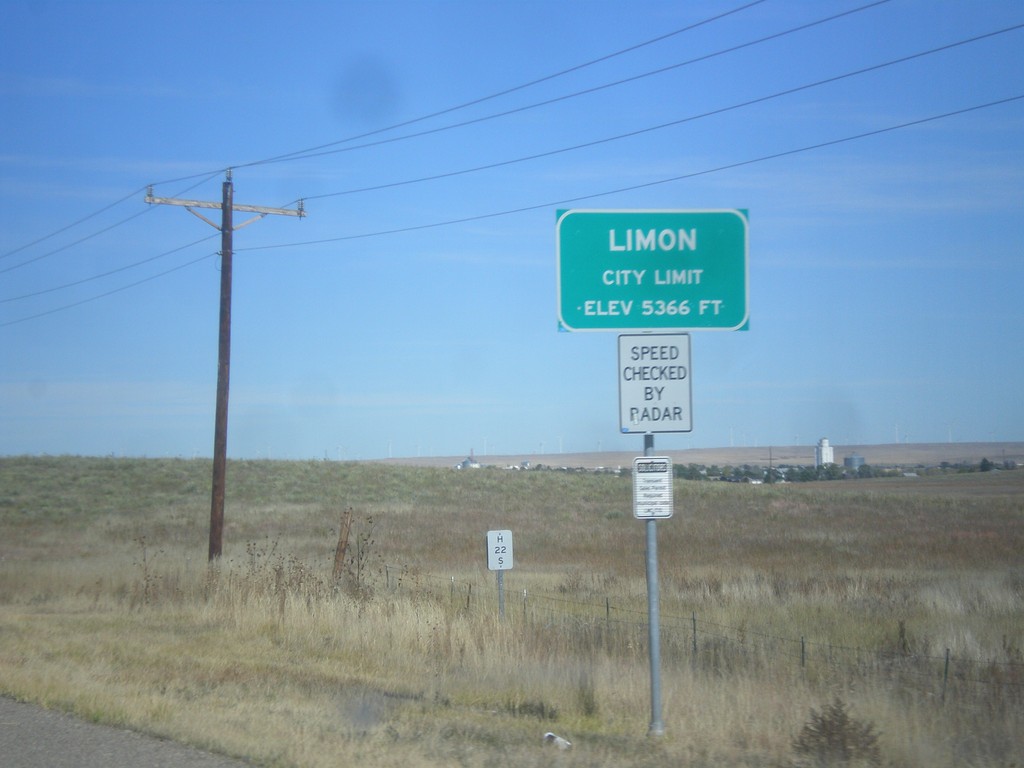
CO-71 North - Limon
Entering Limon on CO-71 north. Limon is the county seat of Lincoln County.
Taken 10-08-2016
Limon
Lincoln County
Colorado
United States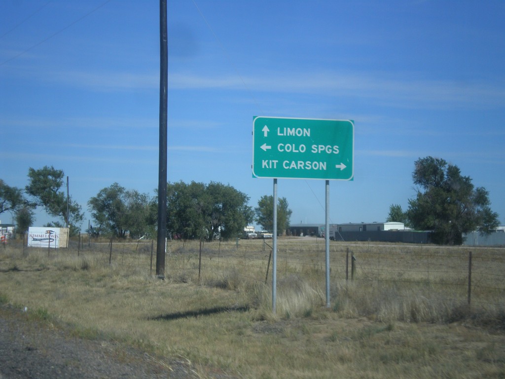
CO-71 North at CO-94
CO-71 North at CO-94 in Punkin Center. Turn right for CO-94 east to Kit Carson; left for CO-94 west to Limon. Continue straight on CO-71 north for Limon.
Taken 10-08-2016
 Hugo
Lincoln County
Colorado
United States
Hugo
Lincoln County
Colorado
United States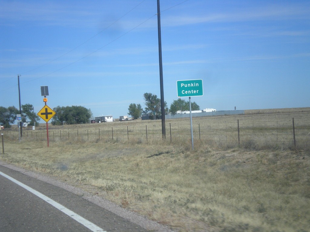
CO-71 North - Punkin Center
Entering Punkin Center on CO-71 north. Punkin Center is the small community at the junction of CO-71 and CO-94 in Lincoln County.
Taken 10-08-2016
Hugo
Lincoln County
Colorado
United States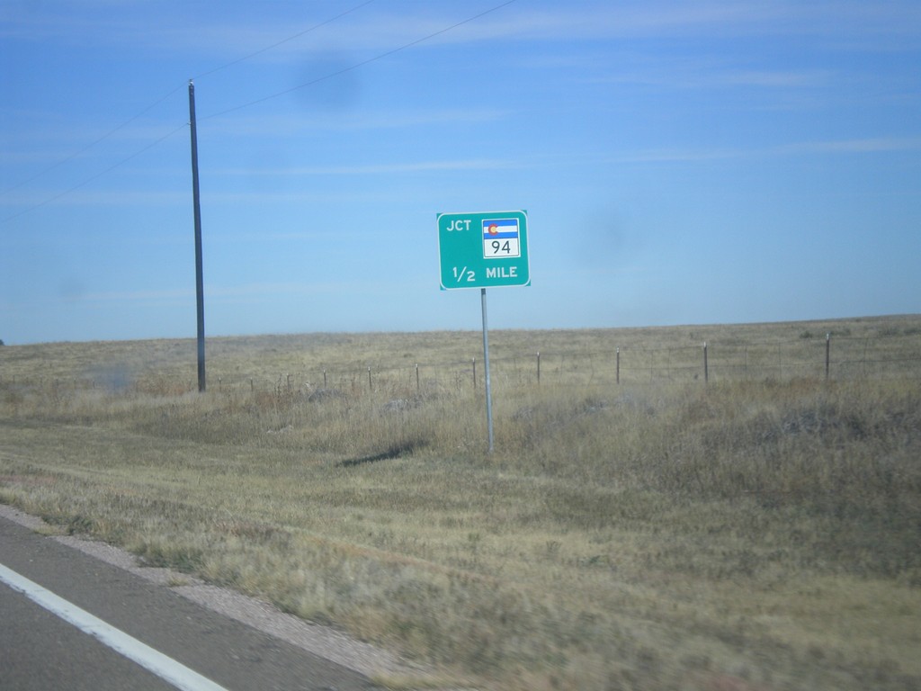
CO-71 North Approaching CO-94
CO-71 North Approaching CO-94 at Punkin Center.
Taken 10-08-2016
Hugo
Lincoln County
Colorado
United States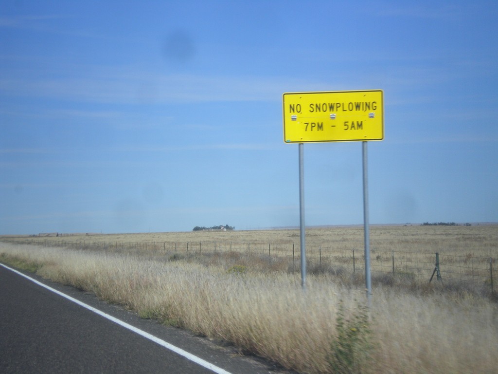
CO-71 North - Snowplow Hours
No Snowplowing on CO-71 north of Ordway between the hours of 7 PM and 5 AM.
Taken 10-08-2016
Ordway
Crowley County
Colorado
United States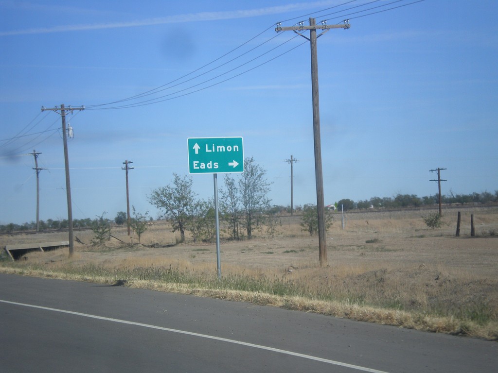
CO-71 North/CO-96 East at CO-71/CO-96 Junction
CO-71 North/CO-96 East at CO-71/CO-96 junction. Turn right on CO-96 East for Eads; continue north on CO-71 to Limon.
Taken 10-08-2016
 Ordway
Crowley County
Colorado
United States
Ordway
Crowley County
Colorado
United States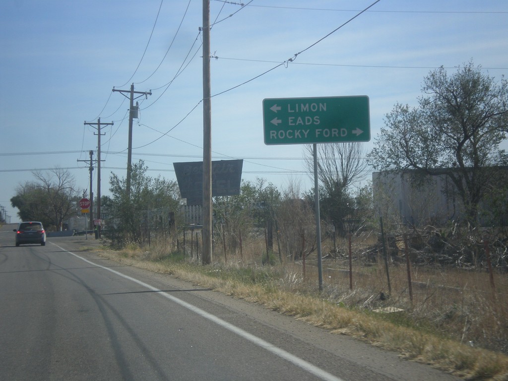
CO-96 East at CO-71
CO-96 East at CO-71 in Ordway. CO-96 East joins CO-71 North through Ordway. Turn right for CO-71 south to Rocky Ford. Turn left for CO-71 North/CO-96 East to Limon (via CO-71) and Eads (via CO-96).
Taken 10-08-2016
Ordway
Crowley County
Colorado
United States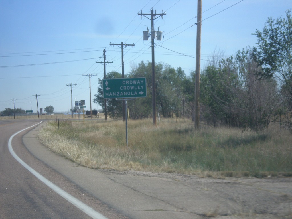
CO-96 East at CO-207
CO-96 East at CO-207 south to Manzanola. Turn left for Crowley; continue east on CO-96 for Ordway.
Taken 10-08-2016
 Olney Springs
Crowley County
Colorado
United States
Olney Springs
Crowley County
Colorado
United States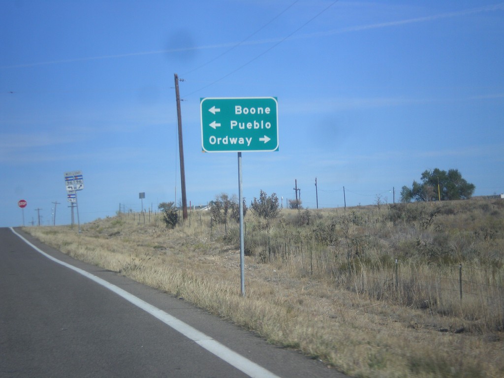
CO-167 North Approaching CO-96
CO-167 North approaching CO-96. Turn left for CO-96 west to Boone and Pueblo; right for CO-96 east to Ordway.
Taken 10-08-2016
 Fowler
Crowley County
Colorado
United States
Fowler
Crowley County
Colorado
United States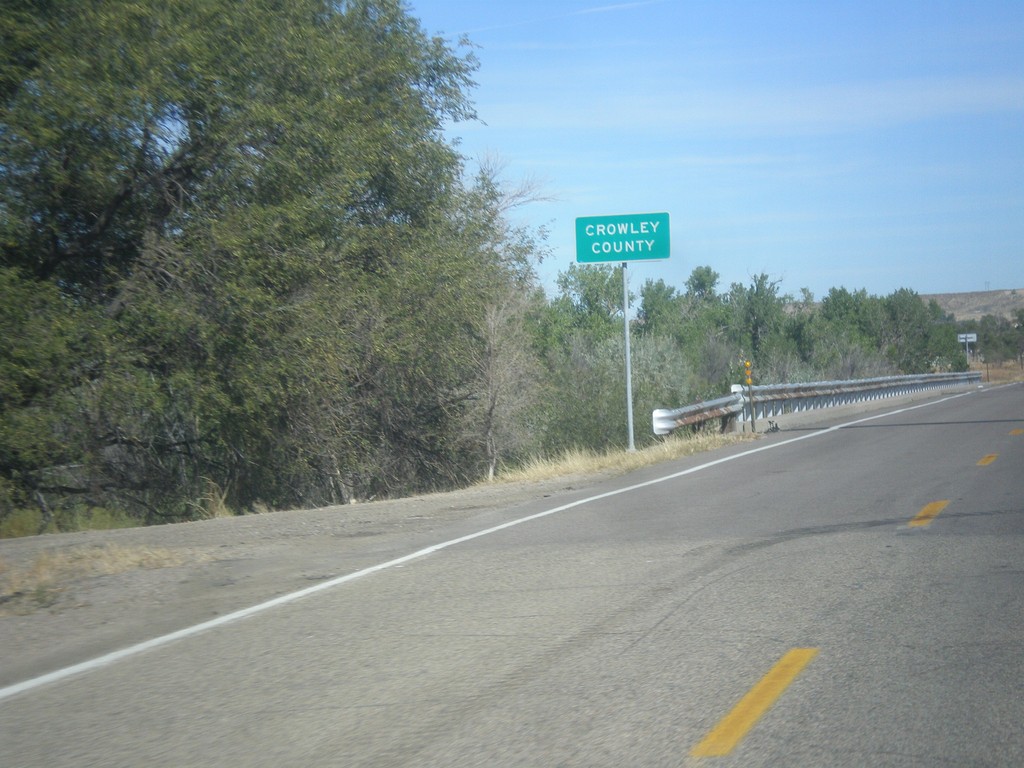
CO-167 North - Crowley County
Entering Crowley County on CO-167 north at the Arkansas River bridge.
Taken 10-08-2016
Fowler
Crowley County
Colorado
United States