Signs Tagged With Big Green Sign
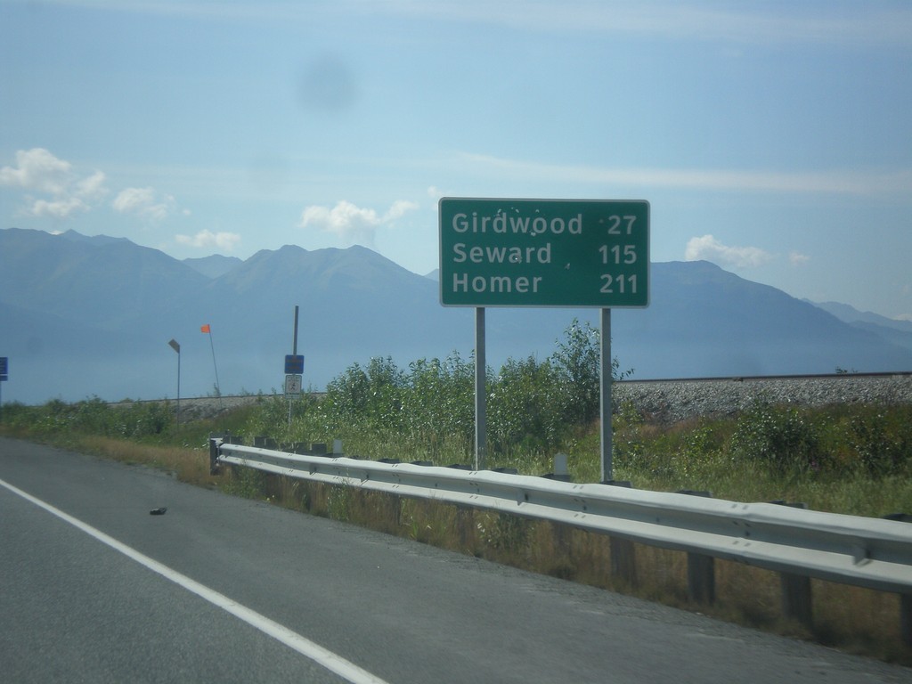
AK-1 South - Distance Marker
Distance marker on AK-1 south. Distance to Girdwood, Seward, and Homer (via Sterling Highway).
Taken 07-16-2016
 Anchorage
 Municipality
Alaska
United States
Anchorage
Anchorage Municipality
Alaska
United States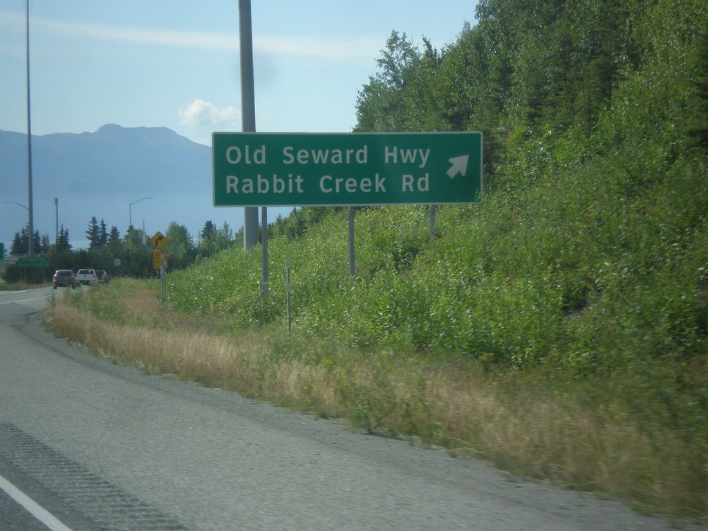
AK-1 South - Old Seward Highway/Rabbit Creek Road
AK-1 South at Old Seward Highway/Rabbit Creek Road interchange. The freeway along the Seward Highway ends just south of here.
Taken 07-16-2016
Anchorage
Anchorage Municipality
Alaska
United States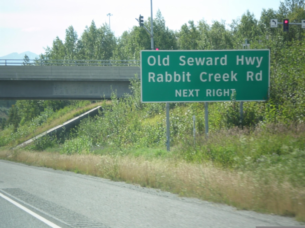
AK-1 South - Old Seward Highway/Rabbit Creek Road
AK-1 South approaching Old Seward Highway/Rabbit Creek Road interchange.
Taken 07-16-2016
Anchorage
Anchorage Municipality
Alaska
United States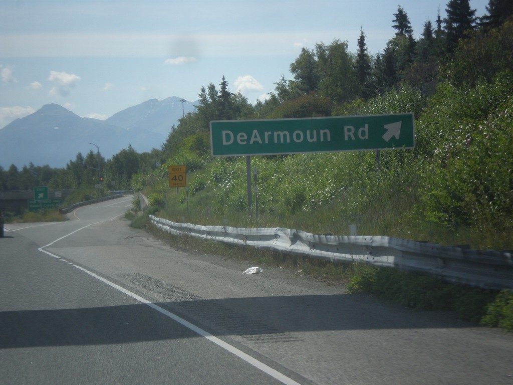
AK-1 South - DeArmoun Road
AK-1 South at DeArmoun Road interchange.
Taken 07-16-2016
Anchorage
Anchorage Municipality
Alaska
United States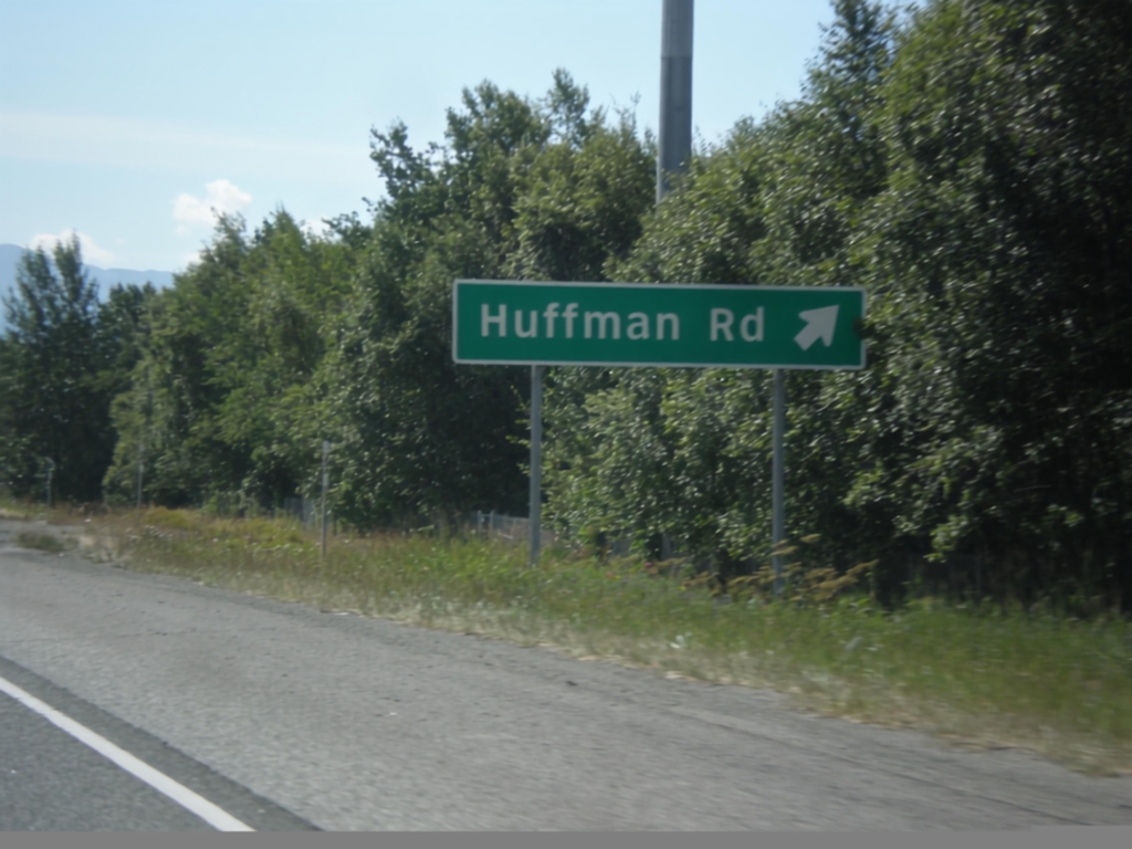
AK-1 South - Huffman Road
AK-1 south at Huffman Road interchange.
Taken 07-16-2016
Anchorage
Anchorage Municipality
Alaska
United States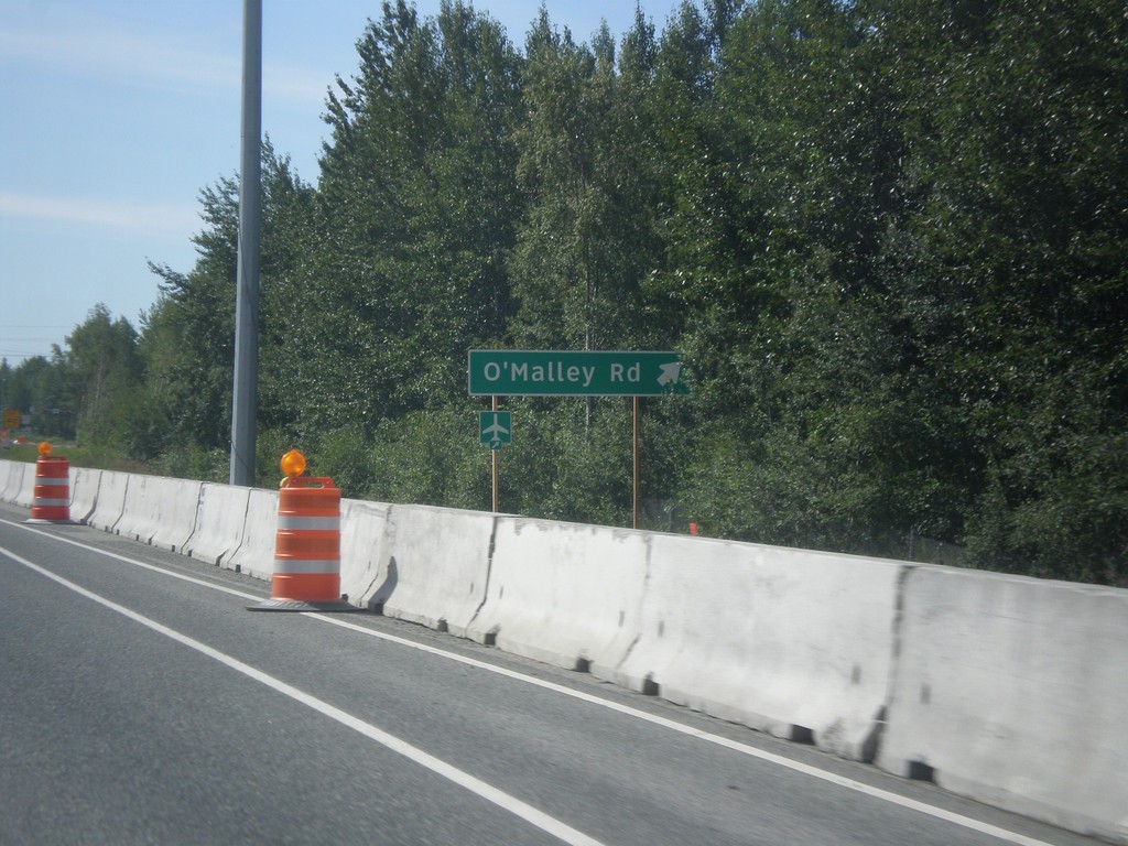
AK-1 South - O'Malley Road
AK-1 south at O’Malley Road interchange.
Taken 07-16-2016
Anchorage
Anchorage Municipality
Alaska
United States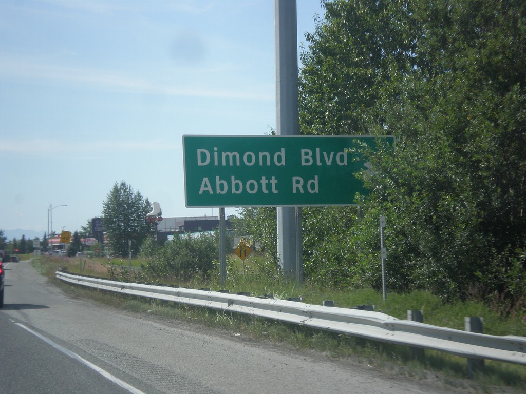
AK-1 South - Dimond Blvd./Abbot Road
AK-1 south at Dimond Blvd./Abbot Road interchange.
Taken 07-16-2016
Anchorage
Anchorage Municipality
Alaska
United States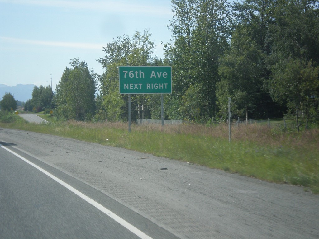
AK-1 South - 76th Ave.
AK-1 south approaching 76th Ave. interchange.
Taken 07-16-2016
Anchorage
Anchorage Municipality
Alaska
United States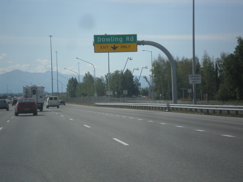
AK-1 South - Dowling Road
AK-1 south approaching Dowling Road interchange.
Taken 07-16-2016
Anchorage
Anchorage Municipality
Alaska
United States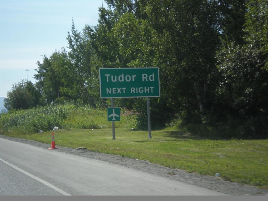
AK-1 South - Tudor Road
AK-1 south approaching Tudor Road interchange.
Taken 07-16-2016
Anchorage
Anchorage Municipality
Alaska
United States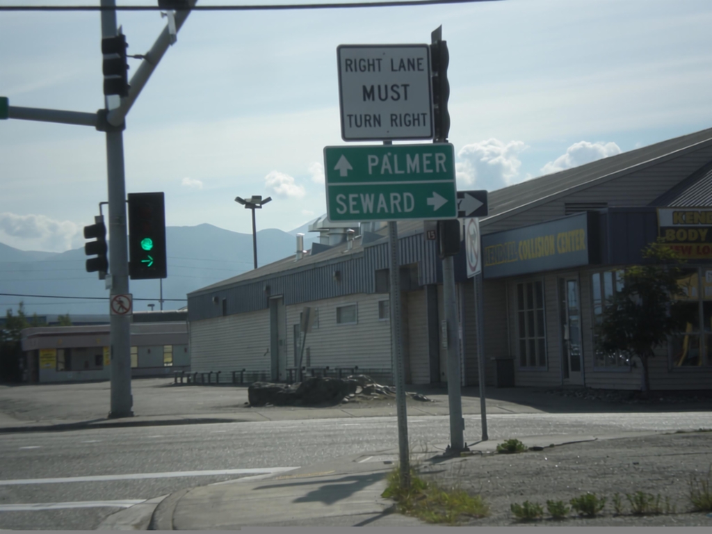
East 6th Ave. at Gambell St. - Glenn and Seward Highways
East 6th Ave. at Glenn and Seward Highway junction. Turn right for the Seward Highway (AK-1 South) to Seward. Continue straight on East 6th Ave. for Palmer and the Glenn Highway. The Seward Highway and Glenn Highway both begin here.
Taken 07-16-2016
Anchorage
Anchorage Municipality
Alaska
United States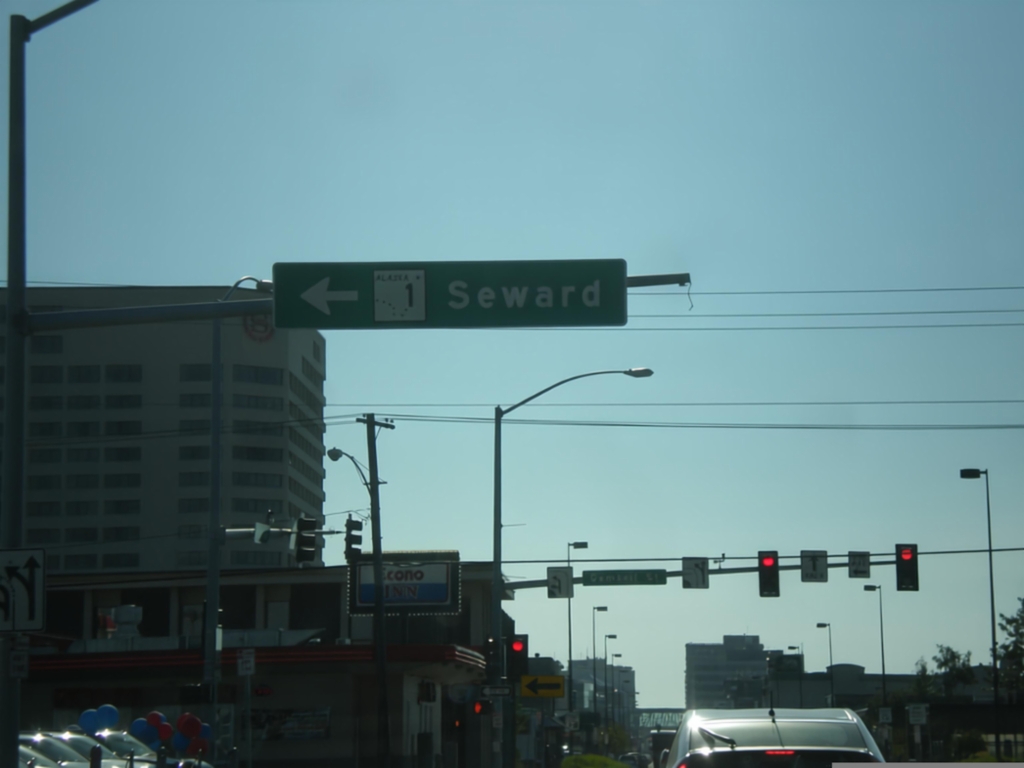
AK-1 South - Glenn Highway at Seward Highway Jct.
AK-1 south (East 5th Ave.) at end of Glenn Highway in Anchorage. Turn left to continue south on AK-1 (Gambell St.) for the Seward Highway to Seward.
Taken 07-15-2016
Anchorage
Anchorage Municipality
Alaska
United States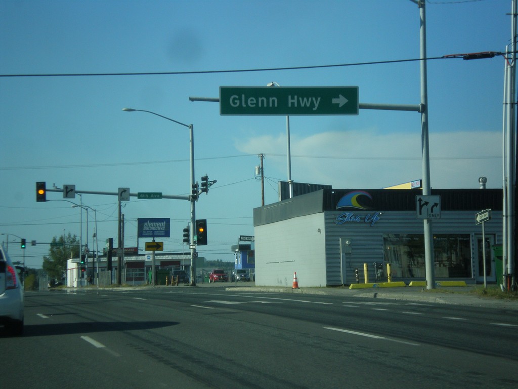
AK-1 North - Seward Highway at Glenn Highway Jct.
AK-1 north (Ingra St.) at East 6th Ave. Turn right to continue north on AK-1 as the Glenn Highway. The Glenn Highway starts at this intersection and runs northeast to Glenallen.
Taken 07-15-2016
Anchorage
Anchorage Municipality
Alaska
United States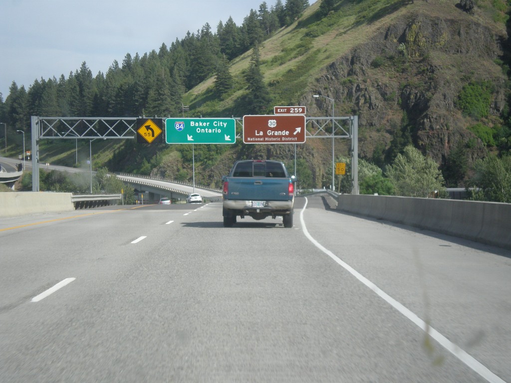
I-84 East - Exit 259
I-84 east at Exit 259 - US-30/La Grande/National Historic District. Overhead for I-84 to Baker City and Ontario. US-30 leaves I-84 eastbound here, and rejoins with I-84 on the other side of LaGrande. LaGrande is the county seat of Union County.
Taken 06-05-2016

 La Grande
Union County
Oregon
United States
La Grande
Union County
Oregon
United States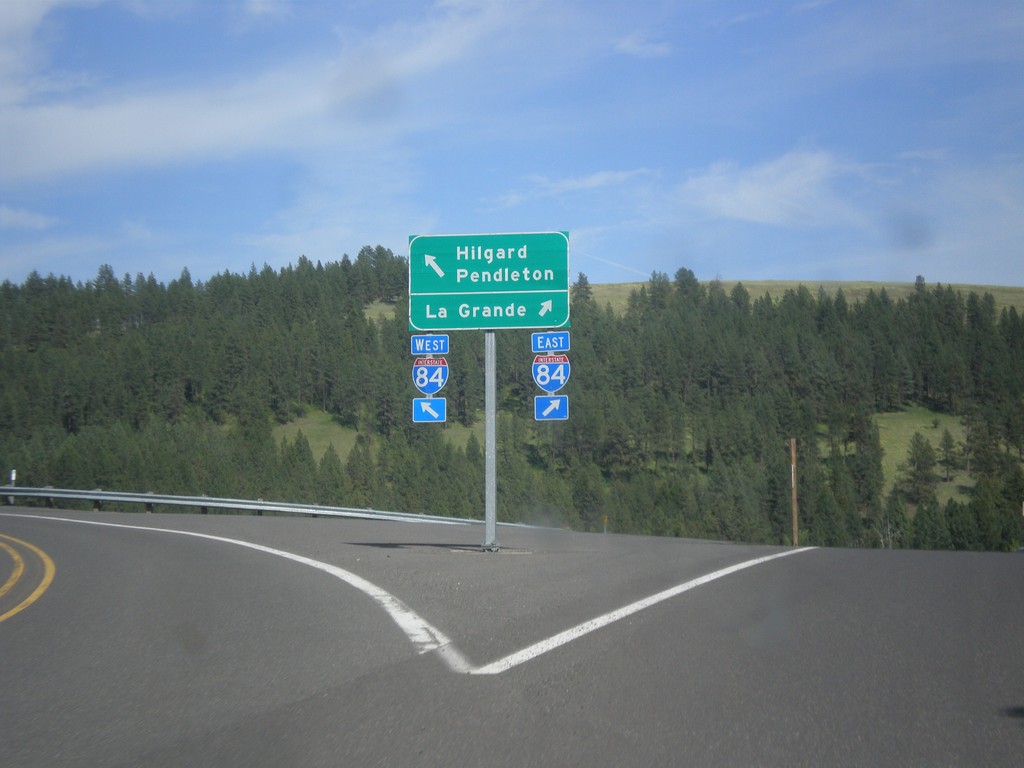
End OR-244 at I-84/US-30
End OR-244 at I-84/US-30 at Hilgard Junction. Merge right for I-84/US-30 East to LaGrande; merge left for I-84/US-30 west to Hilgard and Pendleton.
Taken 06-05-2016
 Hilgard
Union County
Oregon
United States
Hilgard
Union County
Oregon
United States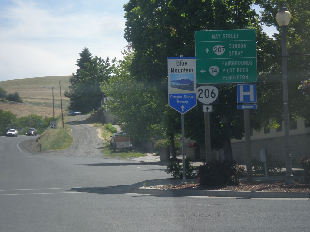
OR-74 East/OR-207 South at OR-206
OR-74 East/OR-207 South at OR-206 in Heppner. Turn left to continue east on OR-74 to Fairgrounds, Pilot Rock, and Pendleton. Continue straight for OR-206/OR-207 South to Condon and Spray. Use OR-206/OR-207 for the Blue Mountain Scenic Byway.
Taken 06-05-2016


 Heppner
Morrow County
Oregon
United States
Heppner
Morrow County
Oregon
United States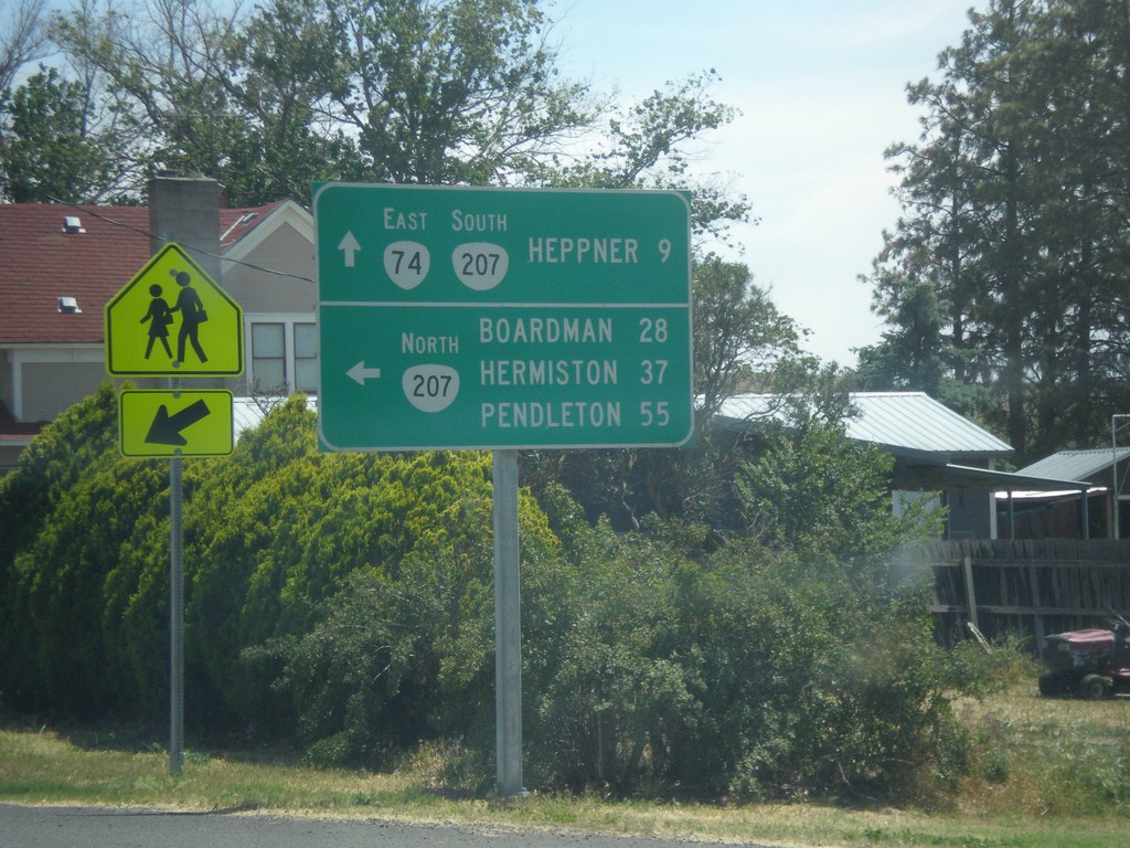
OR-74 East at OR-207
OR-74 East at OR-207. Turn left for OR-207 north to Boardman, Hermiston, and Pendleton. Continue straight for OR-74 East/OR-207 South to Heppner.
Taken 06-05-2016
Lexington
Morrow County
Oregon
United States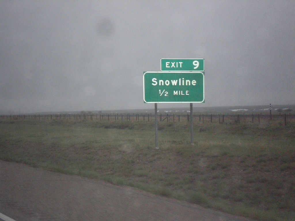
I-15 South - Exit 9
I-15 south approaching Exit 9 - Snowline.
Taken 05-16-2016
 Lima
Beaverhead County
Montana
United States
Lima
Beaverhead County
Montana
United States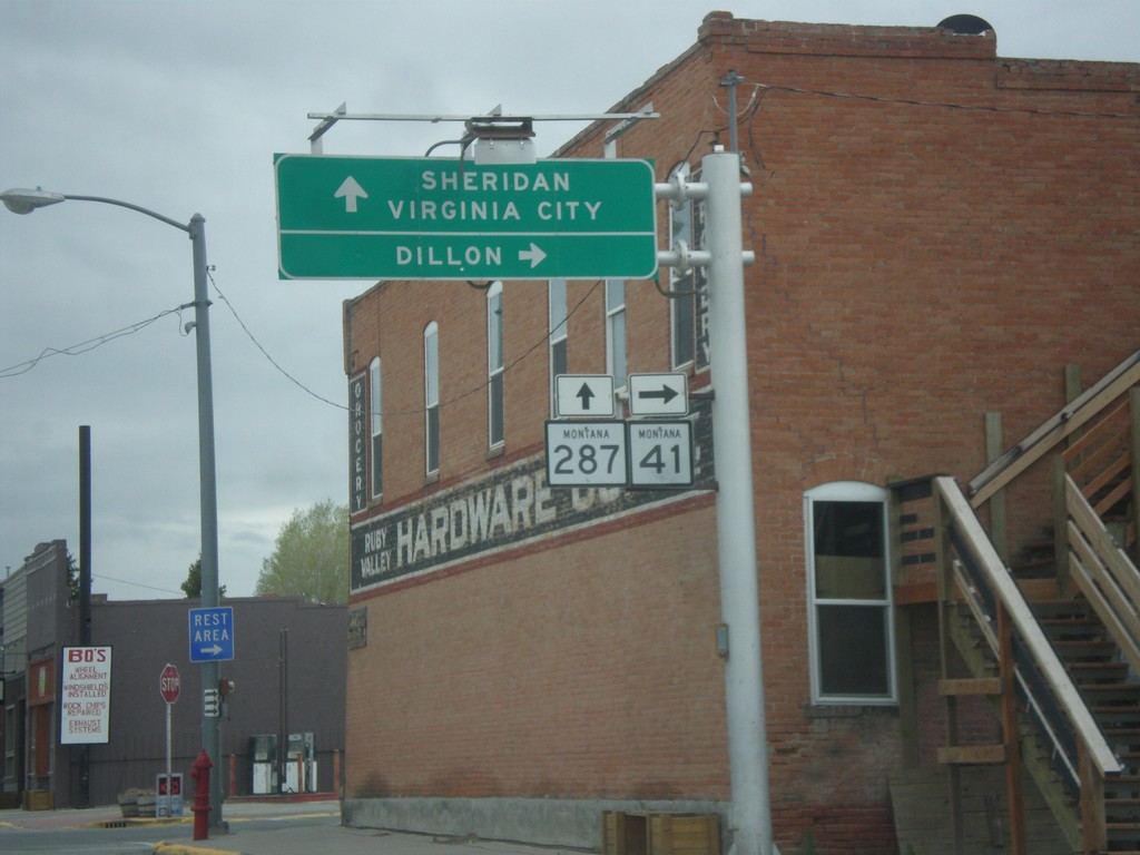
MT-41 South at MT-287
MT-41 South at MT-287 in Twin Bridges. Turn right to continue south on MT-41 to Dillon. Continue straight for MT-287 south to Sheridan and Virginia City.
Taken 05-15-2016

 Twin Bridges
Madison County
Montana
United States
Twin Bridges
Madison County
Montana
United States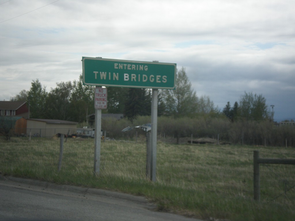
MT-41 South - Twin Bridges
Entering Twin Bridges on MT-41 south.
Taken 05-15-2016
Twin Bridges
Madison County
Montana
United States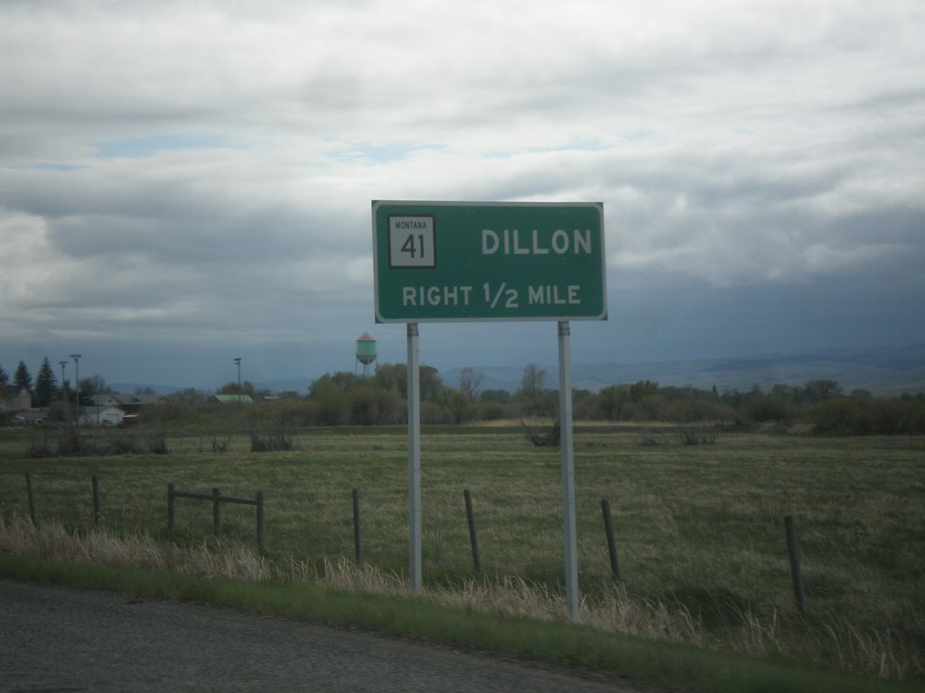
MT-41 South Approaching MT-287
MT-41 South approaching MT-287. Use MT-41 south for Dillon. Drivers will need to turn right in Twin Bridges to continue south on MT-41.
Taken 05-15-2016
Twin Bridges
Madison County
Montana
United States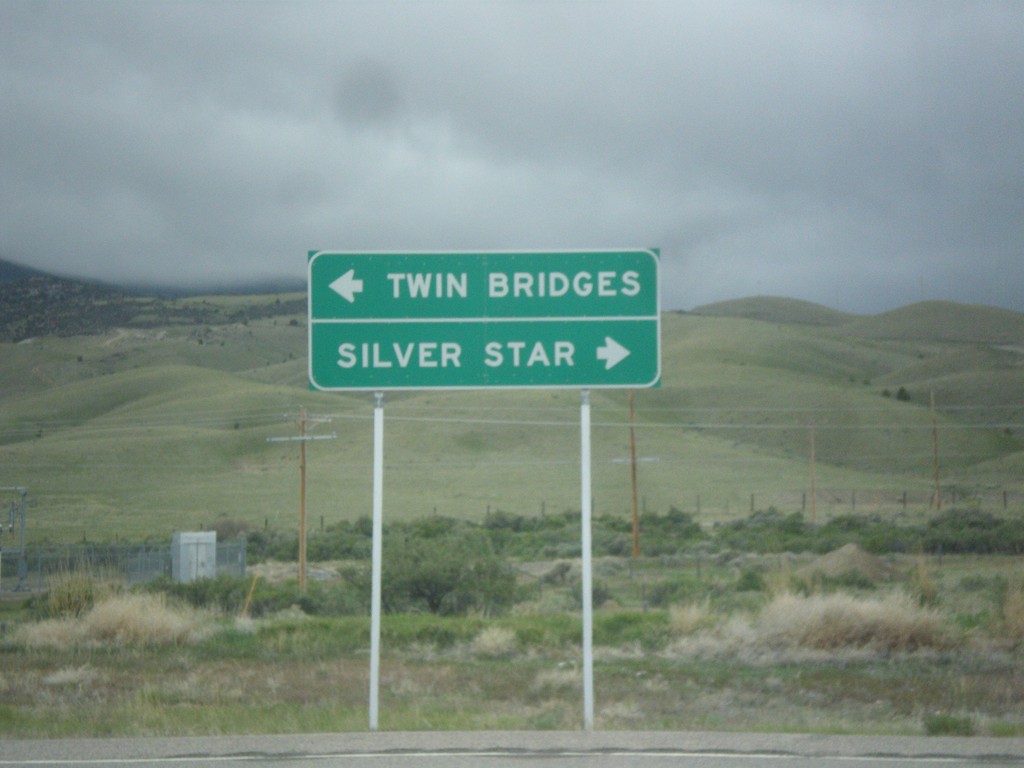
End MTS-422 at MT-41
End MTS-422 at MT-41 in Silver Star. Turn right for Silver Star; left for Twin Bridges.
Taken 05-15-2016
 Silver Star
Madison County
Montana
United States
Silver Star
Madison County
Montana
United States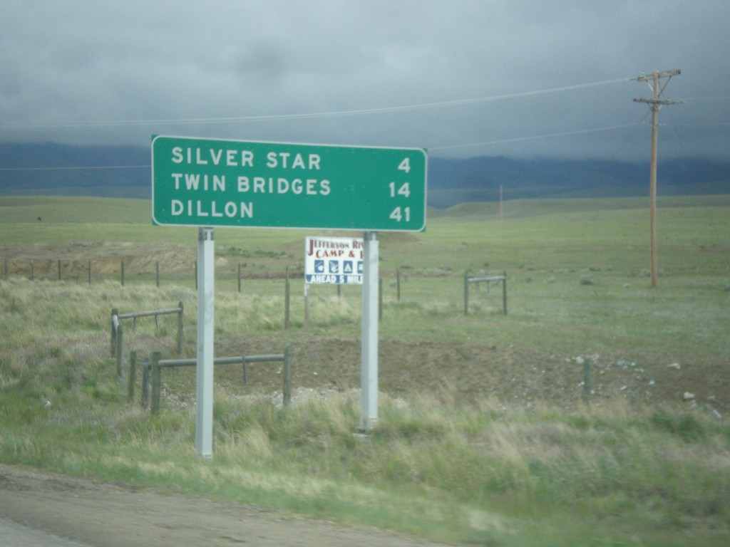
MT-41 South - Distance Marker
Distance marker on MT-41 south. Distance to Silver Star, Twin Bridges, and Dillon.
Taken 05-15-2016
Silver Star
Madison County
Montana
United States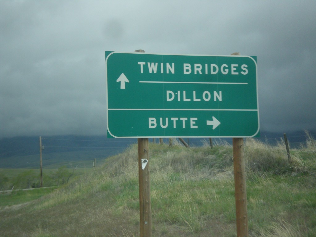
End MT-55 South at MT-41
End MT-55 South at MT-41. Turn right for MT-41 north to Butte; continue straight for MT-41 south to Twin Bridges and Dillon.
Taken 05-15-2016
 Silver Star
Madison County
Montana
United States
Silver Star
Madison County
Montana
United States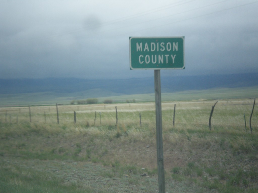
MT-55 South - Madison County
Entering Madison County on MT-55 south.
Taken 05-15-2016
Whitehall
Madison County
Montana
United States