Signs Tagged With Big Green Sign
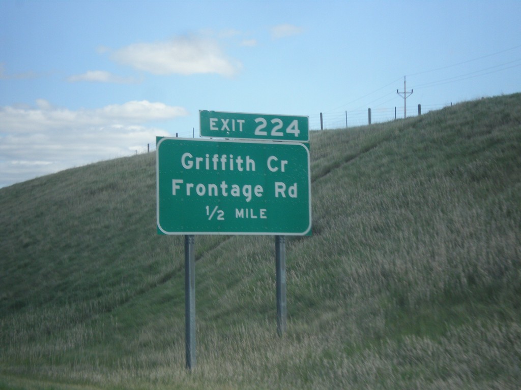
I-94 East - Exit 224
I-94 East approaching Exit 224 - Griffith Creek/Frontage Road.
Taken 05-14-2016
 Glendive
Dawson County
Montana
United States
Glendive
Dawson County
Montana
United States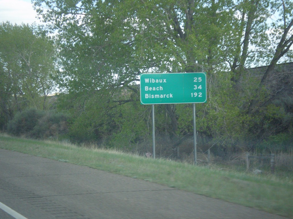
I-94 East - Distance Marker
Distance marker on I-94 east. Distance to Wibaux, Beach (ND), and Bismarck (ND).
Taken 05-14-2016
Glendive
Dawson County
Montana
United States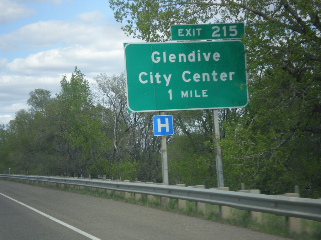
I-94 East - Exit 215
I-94 east approaching Exit 215 - Glendive City Center. This is the eastern end of the Glendive business loop.
Taken 05-14-2016
Glendive
Dawson County
Montana
United States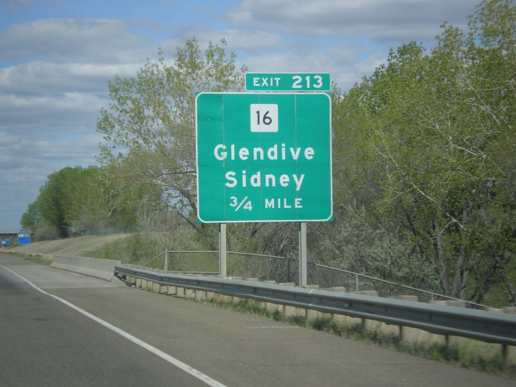
I-94 East - Exit 213
I-94 east approaching Exit 213 - MT-16/Glendive/Sidney.
Taken 05-14-2016
Glendive
Dawson County
Montana
United States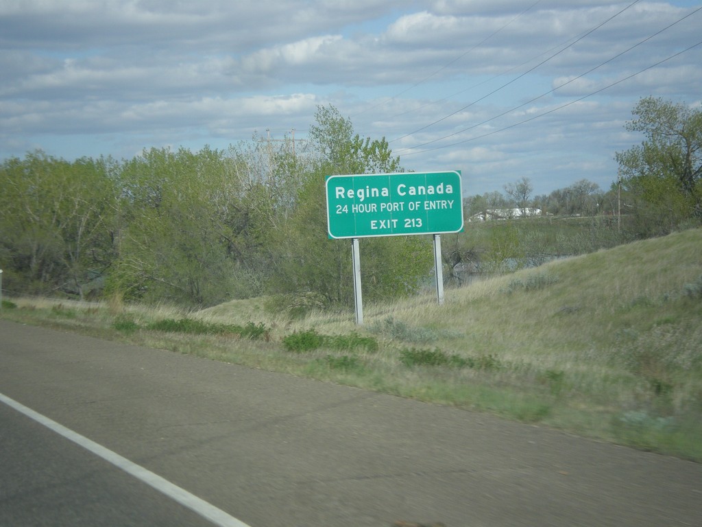
I-94 East - Use Exit 213 for Regina Canada
I-94 east approaching Exit 213. Use Exit 213 for Regina, Canada (via MT-16 North).
Taken 05-14-2016
 Glendive
Dawson County
Montana
United States
Glendive
Dawson County
Montana
United States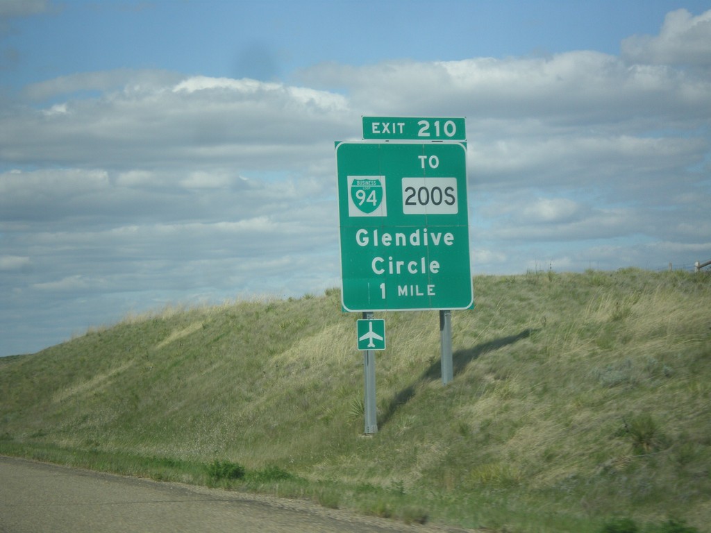
I-94 East - Exit 210
I-94 east approaching Exit 210 - BL-94/To MT-200S/Glendive/Circle. This is the western end of the Glendive business loop.
Taken 05-14-2016

 Glendive
Dawson County
Montana
United States
Glendive
Dawson County
Montana
United States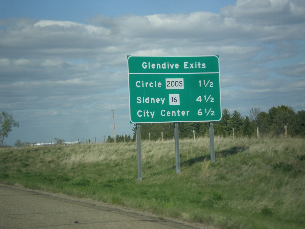
I-94 East - Glendive Exits
Glendive exits on I-94 east. MT-200S/Circle, MT-16/Sidney, and City Center.
Taken 05-14-2016
Glendive
Dawson County
Montana
United States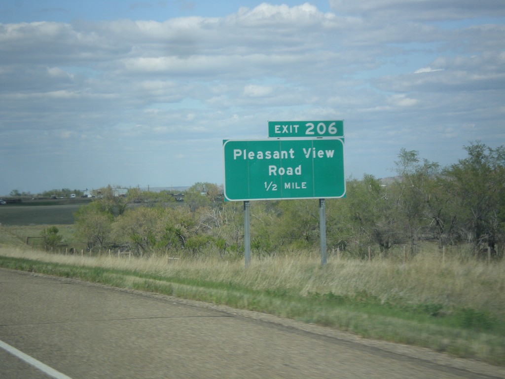
I-94 East - Exit 206
I-94 east approaching Exit 206 - Pleasant View Road.
Taken 05-14-2016
Glendive
Dawson County
Montana
United States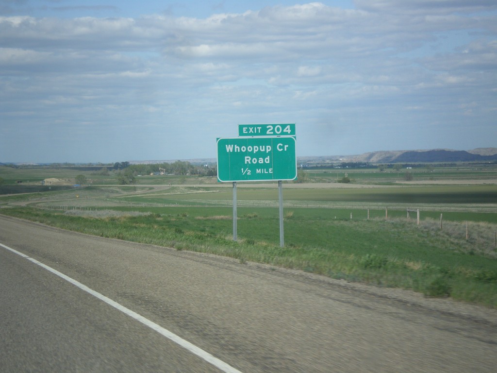
I-94 East - Exit 204
I-94 east approaching Exit 204 - Whoopup Creek Road.
Taken 05-14-2016
Glendive
Dawson County
Montana
United States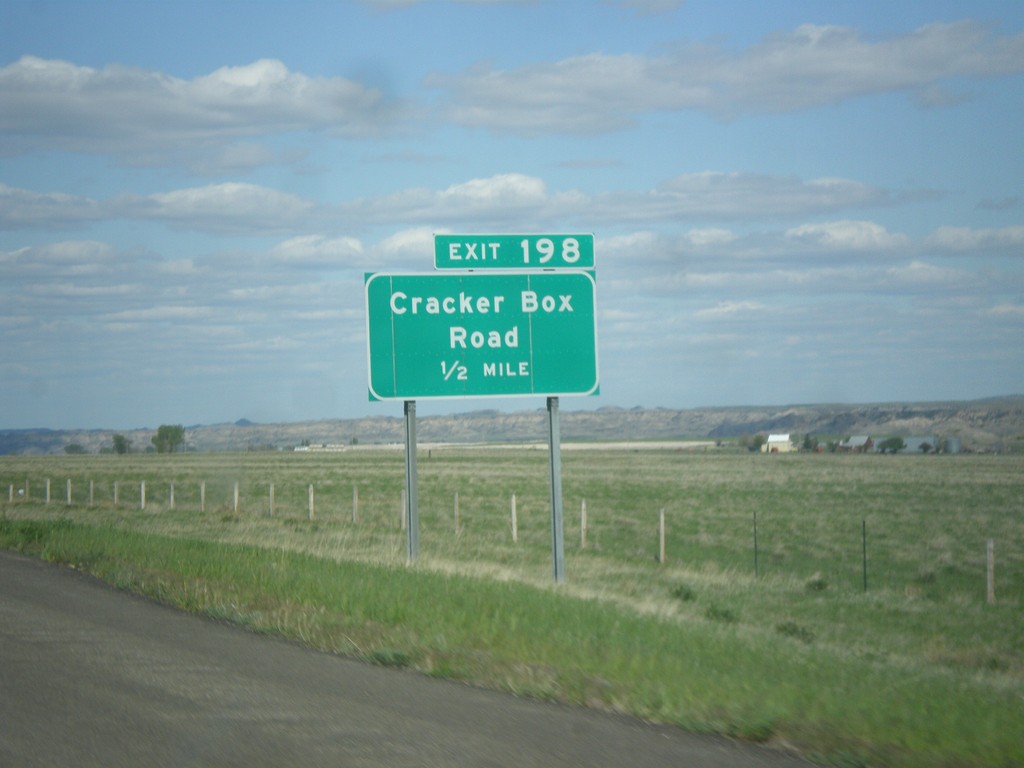
I-94 East - Exit 198
I-94 east approaching Exit 198 - Cracker Box Road.
Taken 05-14-2016
Hoyt
Dawson County
Montana
United States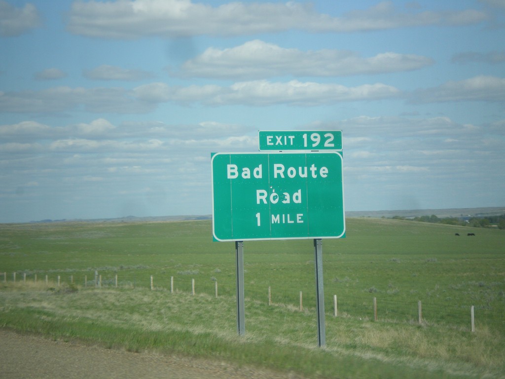
I-94 East - Exit 192
I-94 east approaching Exit 192 - Bad Route Road.
Taken 05-14-2016
Glendive
Dawson County
Montana
United States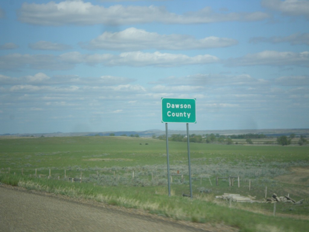
I-94 East - Dawson County
Entering Dawson County on I-94 east.
Taken 05-14-2016
Glendive
Dawson County
Montana
United States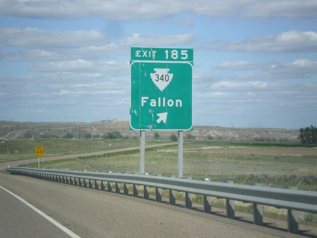
I-94 East - Exit 185
I-94 east approaching Exit 185 - MTS-340/Fallon.
Taken 05-14-2016
 Fallon
Prairie County
Montana
United States
Fallon
Prairie County
Montana
United States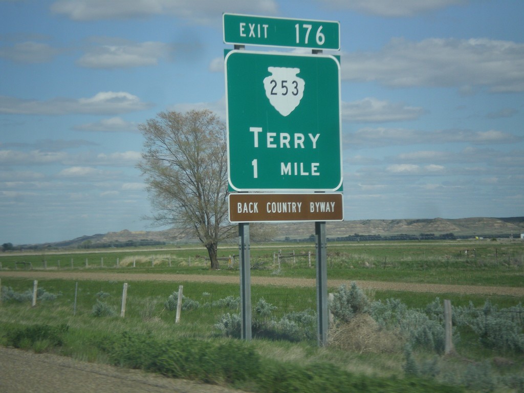
I-94 East - Exit 176
I-94 east approaching Exit 176 - MTS-253/Terry. Terry is the county seat of Prairie County.
Taken 05-14-2016
 Terry
Prairie County
Montana
United States
Terry
Prairie County
Montana
United States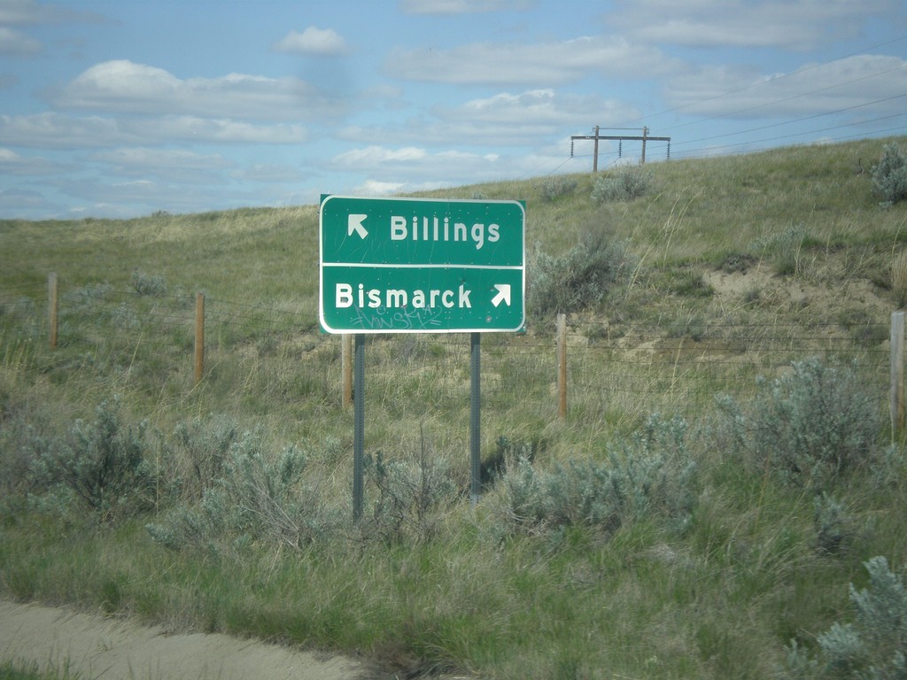
Powder River Road at I-94 (Exit 169)
Powder River Road at I-94 (Exit 169). Turn right for I-94 west to Billings; left for I-94 east to Bismarck (North Dakota).
Taken 05-14-2016
Blatchford
Prairie County
Montana
United States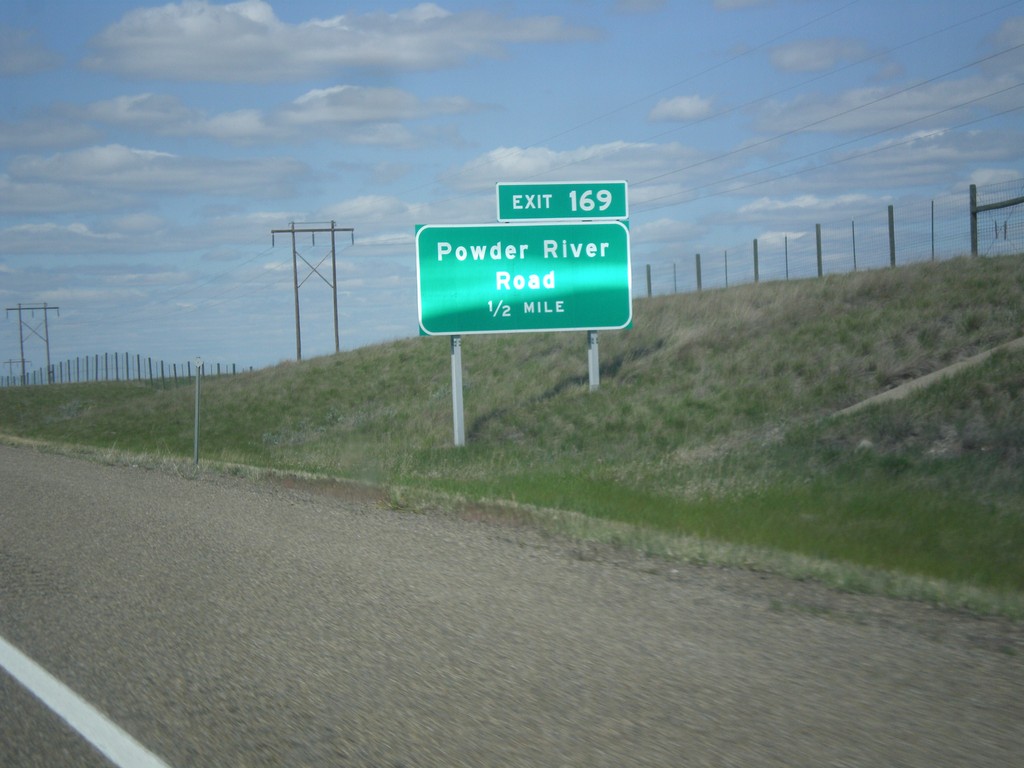
I-94 East - Exit 169
I-94 east approaching Exit 169 - Powder River Road.
Taken 05-14-2016
Terry
Prairie County
Montana
United States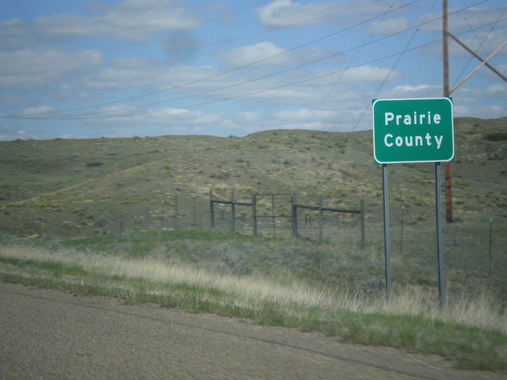
I-94 East - Prairie County
Entering Prairie County on I-94 east.
Taken 05-14-2016
Terry
Prairie County
Montana
United States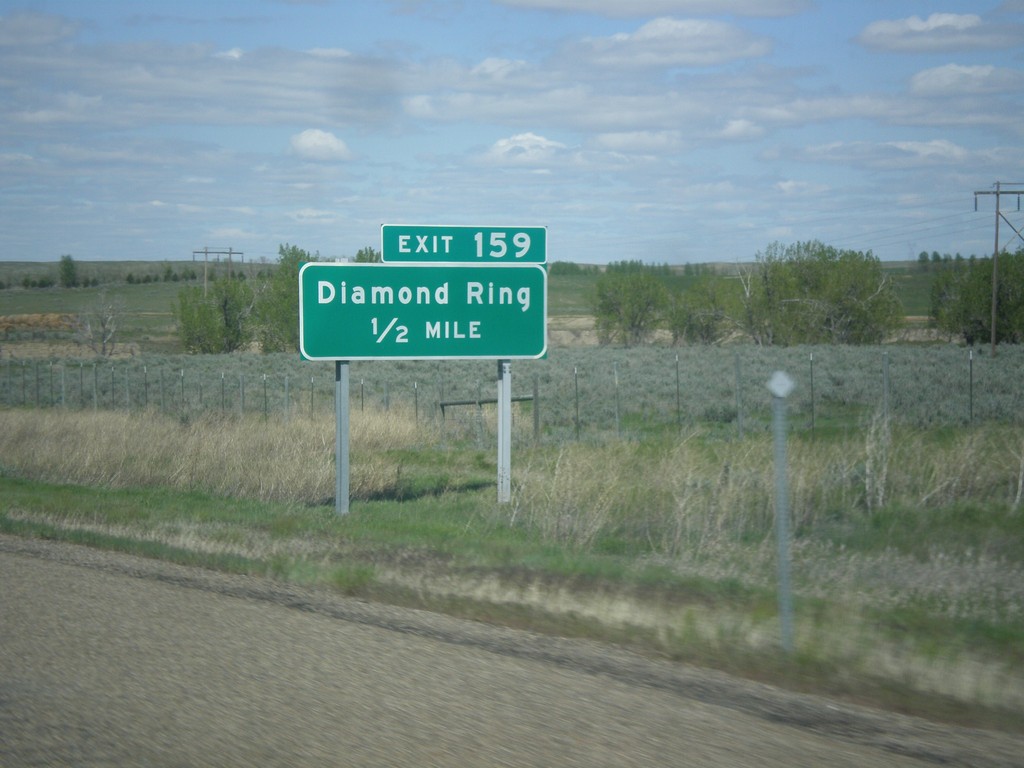
I-94 East - Exit 159
I-94 east approaching Exit 159 - Diamond Ring.
Taken 05-14-2016
Shirley
Custer County
Montana
United States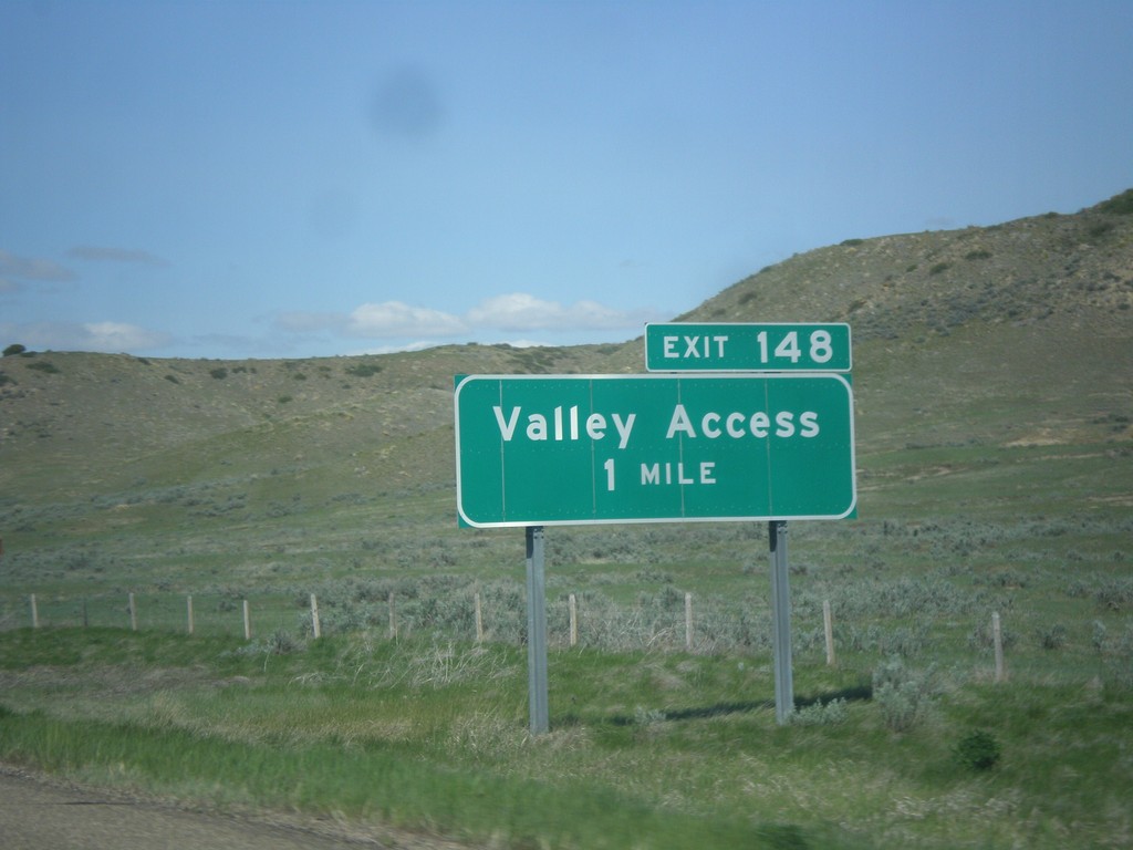
I-94 East - Exit 148
I-94 east at Exit 148 - Valley Access
Taken 05-14-2016
Miles City
Custer County
Montana
United States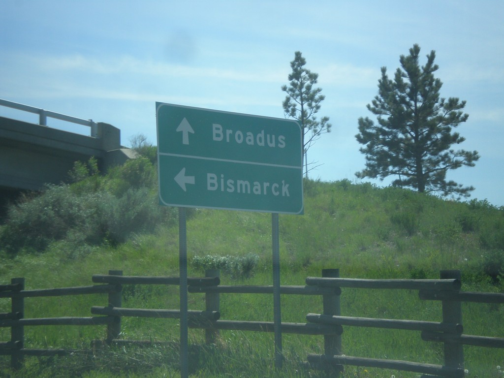
MT-59 South at I-94 East
MT-59 South at I-94 East to Bismarck (North Dakota). Continue south on MT-59 to Broadus.
Taken 05-14-2016
 Miles City
Custer County
Montana
United States
Miles City
Custer County
Montana
United States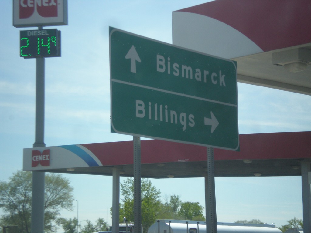
MT-59 South at I-94 West
MT-59 South at I-94 West to Billings. Continue under freeway for I-94 East to Bismarck (North Dakota).
Taken 05-14-2016
Miles City
Custer County
Montana
United States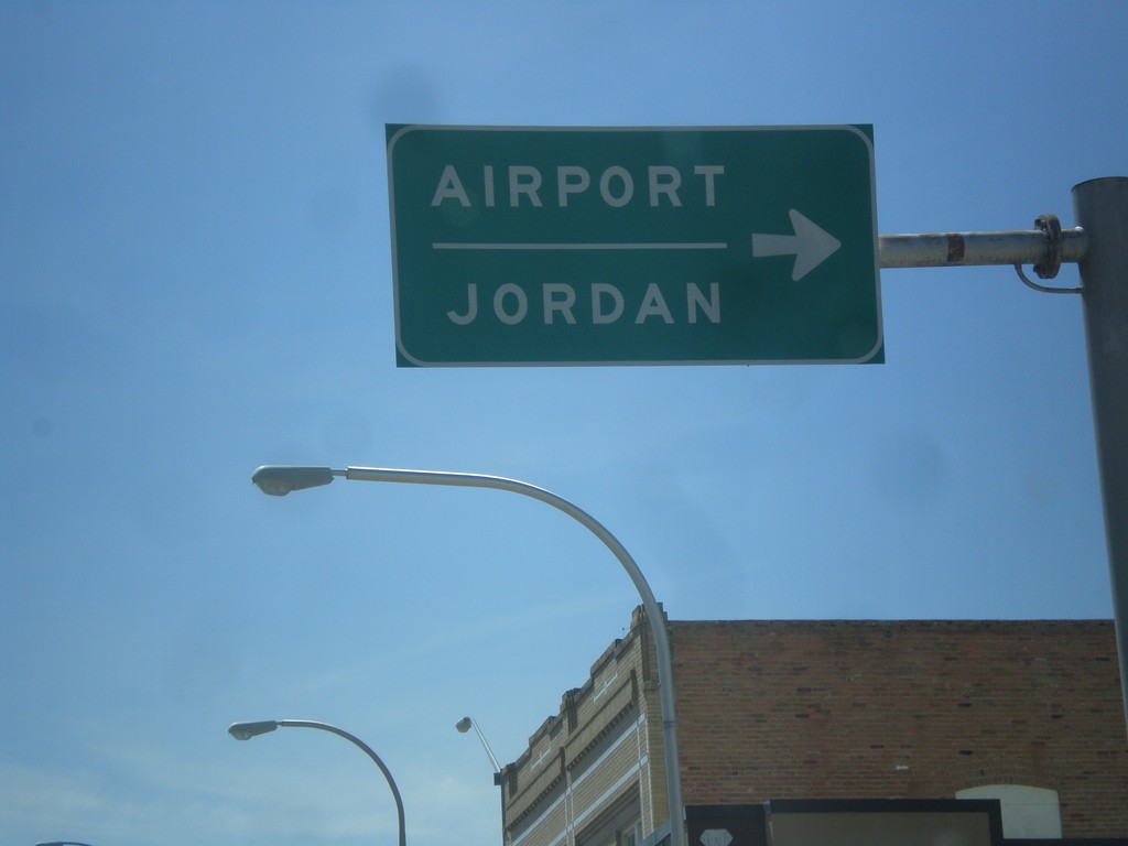
BL-94 West/MT-59 North at MT-59 North Jct.
BL-94 West/MT-59 North (Main St.) at MT-59 North(7th St.) Jct. Use MT-59 north for Airport and Jordan.
Taken 05-14-2016
Miles City
Custer County
Montana
United States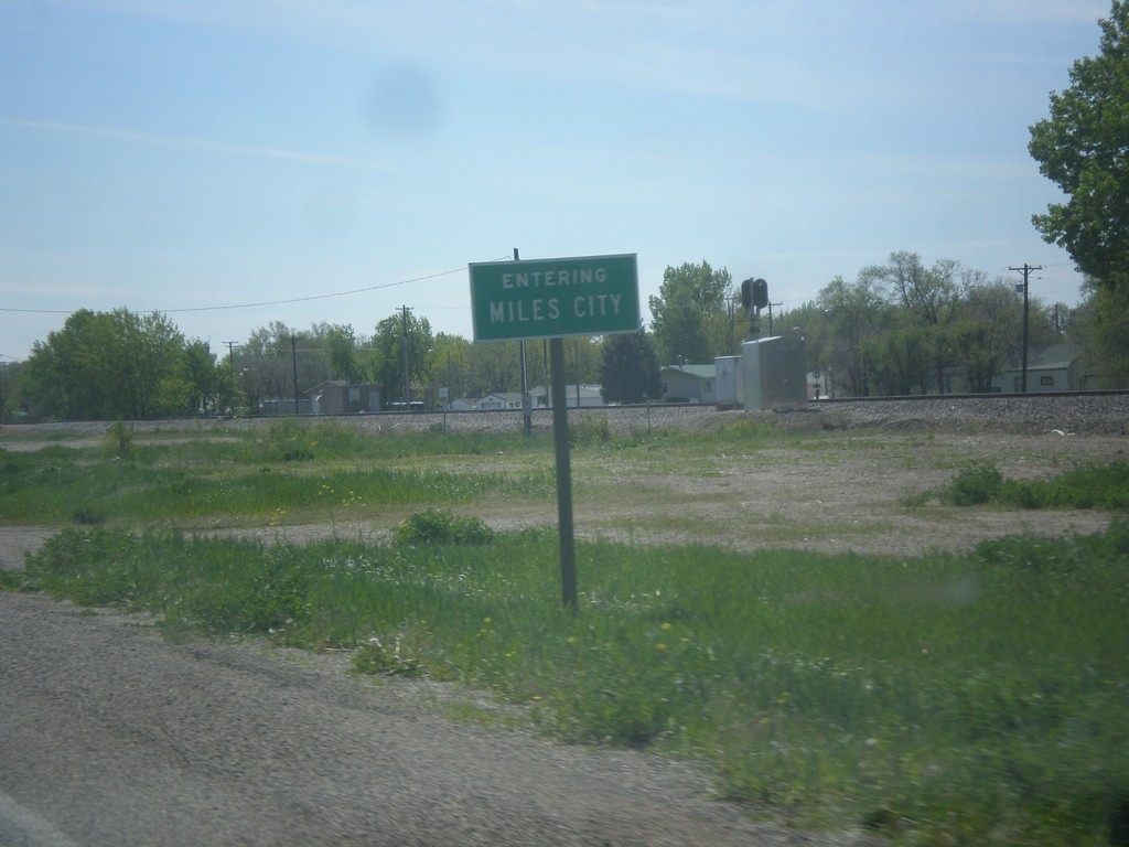
BL-94 West - Miles City
Entering Miles City on BL-94 west. Miles City is the county seat of Custer County, and the largest city in eastern Montana.
Taken 05-14-2016
Miles City
Custer County
Montana
United States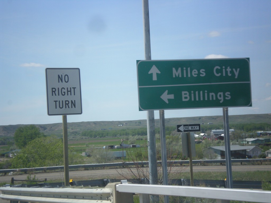
US-12 West at I-94 West and BL-94
US-12 West at I-94 West to Billings. US-12 joins I-94 westbound. Continue straight for BL-94 west to Miles City.
Taken 05-14-2016
 Miles City
Custer County
Montana
United States
Miles City
Custer County
Montana
United States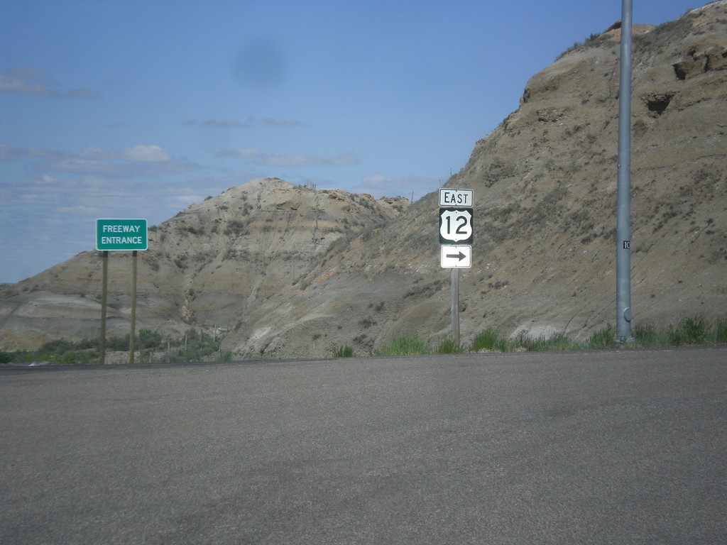
I-94 East - Exit 141 Offramp at US-12
I-94 East - Exit 141 Offramp at US-12. Turn right to continue east on US-12.
Taken 05-14-2016
Miles City
Custer County
Montana
United States