Signs Tagged With Big Green Sign
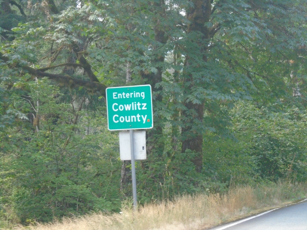
Begin WA-503 Spur West/Entering Cowlitz County
Entering Cowlitz County / Begin WA-503 Spur West
Taken 08-09-2024
 Cougar
Cowlitz County
Washington
United States
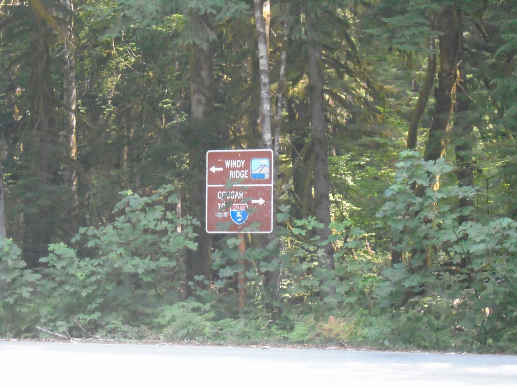
Lava Canyon Road South at Lewis River Road
Lava Canyon Road South at Lewis River Road. Turn left for Windy Ridge (part of the Mt. St. Helens National Monument). Turn right for I-5 and Cougar.
Taken 08-09-2024
 Ariel
Skamania County
Washington
United States
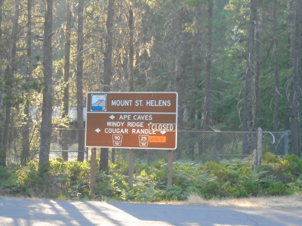
Lewis River Road (FR-90) at Lewis River-Randle Road (FR-25)
Lewis River Road (FR-90) at Lewis River-Randle Road (FR-25) in Northwoods. Use FR-25 north to Windy Ridge and Randle; FR-90 west to Ape Cave and Cougar. FR-25 is closed due to a slide between Northwoods and Wind Ridge when this photograph was taken.
Taken 08-08-2024
Cougar Skamania County Washington United States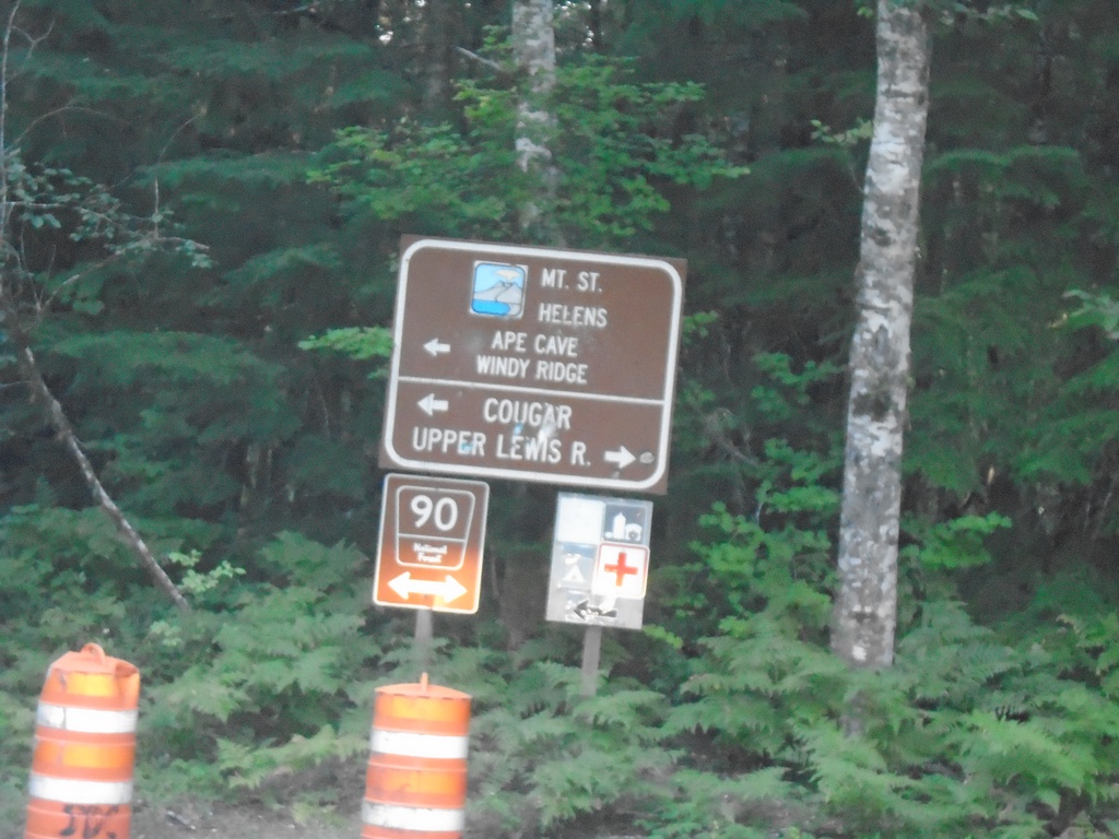
Curly Creek Road North at Lewis River Road (FR-90)
Curly Creek Road North at Lewis River Road (FR-90). Turn right for Upper Lewis River; left for Mt. St. Helens, Ape Cave, and Windy Ridge.
Taken 08-08-2024
Northwoods Skamania County Washington United States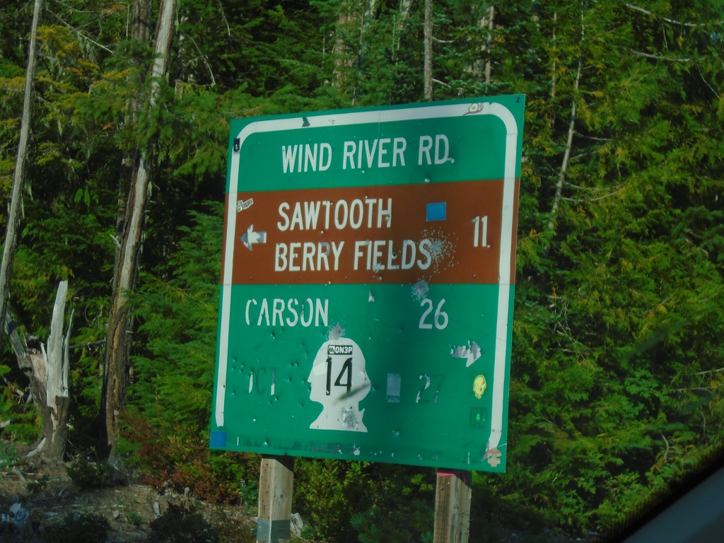
Curly Creek Road at Wind River Road
Curly Creek Road at Wind River Road. Use Wind River Road south to WA-14 and Carson. Use Wind River Road north to Sawtooth Berry Fields.
Taken 08-08-2024
 Northwoods
Skamania County
Washington
United States
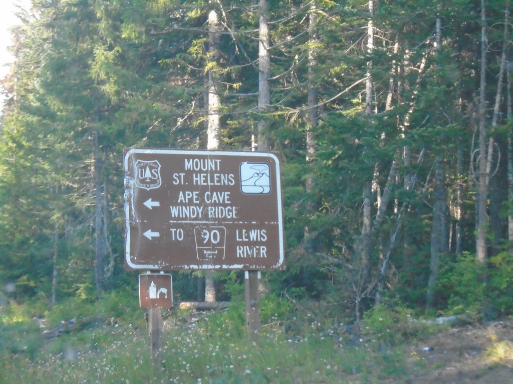
Wind River Road North at Curly Creek Road
Wind River Road North at Curly Creek Road to Mount St. Helens, Ape Cave, Windy Ridge, and FR-90 to Lewis River.
Taken 08-08-2024
Northwoods Skamania County Washington United States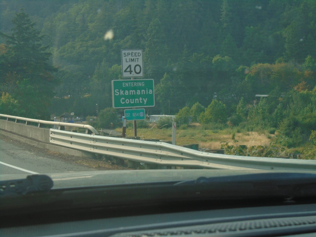
WA-14 West - Skamania County
Entering Skamania County on WA-14 west.
Taken 08-08-2024
 Underwood
Skamania County
Washington
United States
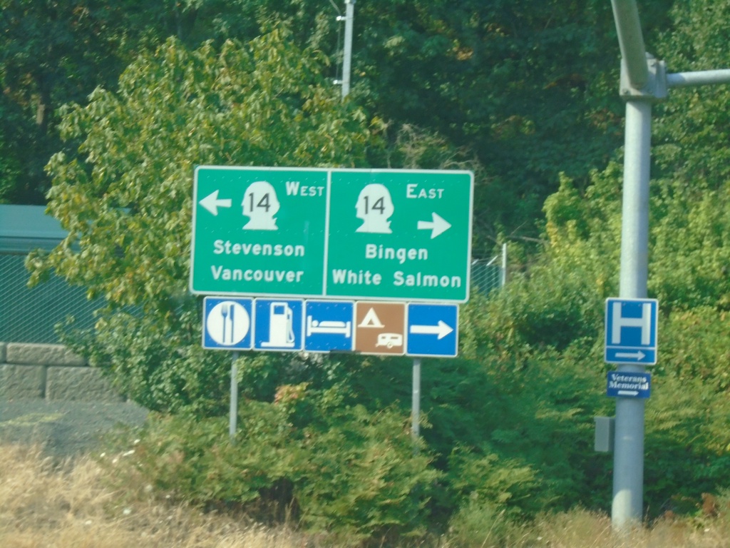
Hood River Bridge at WA-14
Hood River Bridge at WA-14. Use WA-14 East to Bingen and White Salmon; WA-14 west to Stevenson and Vancouver.
Taken 08-08-2024
 White Salmon
Klickitat County
Washington
United States
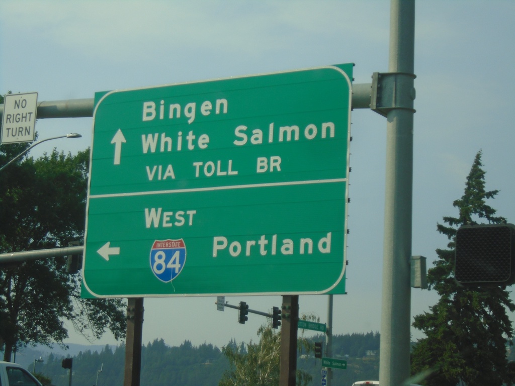
OR-35 North at I-84
OR-35 North at I-84. Use I-84 West to Portland. Continue north for the Toll Bridge over the Columbia River to White Salmon and Bingen, Washington.
Taken 08-08-2024


 Hood River
 County
Oregon
United States
Hood River
Hood River County
Oregon
United States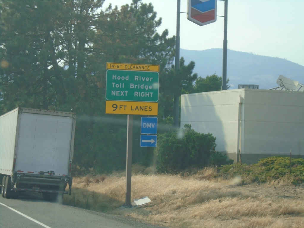
I-84 West Exit 64 Offramp
I-84 West Exit 64 offramp - use right lanes for Hood River Toll Bridge.
Taken 08-08-2024


 Hood River
 County
Oregon
United States
Hood River
Hood River County
Oregon
United States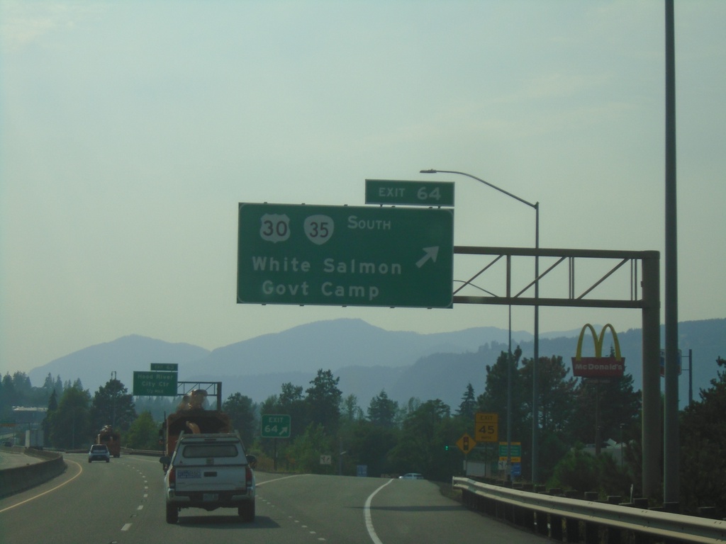
I-84 West - Exit 64
I-84 west at Exit 64 - US-30/OR-35 South/White Salmon(WA)/Government Camp.
Taken 08-08-2024


 Hood River
 County
Oregon
United States
Hood River
Hood River County
Oregon
United States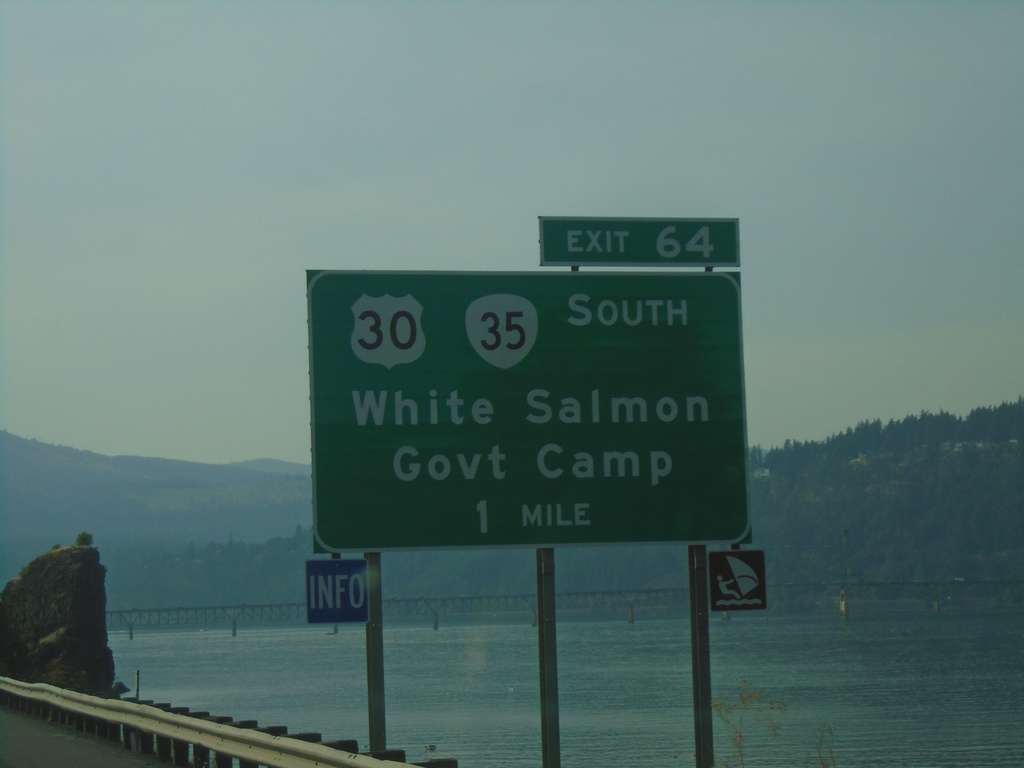
I-84 West Approaching Exit 64
I-84 west approaching Exit 64 - US-30/OR-35 South/White Salmon (WA)/Government Camp. The Columbia River is in the background.
Taken 08-08-2024


 Hood River
 County
Oregon
United States
Hood River
Hood River County
Oregon
United States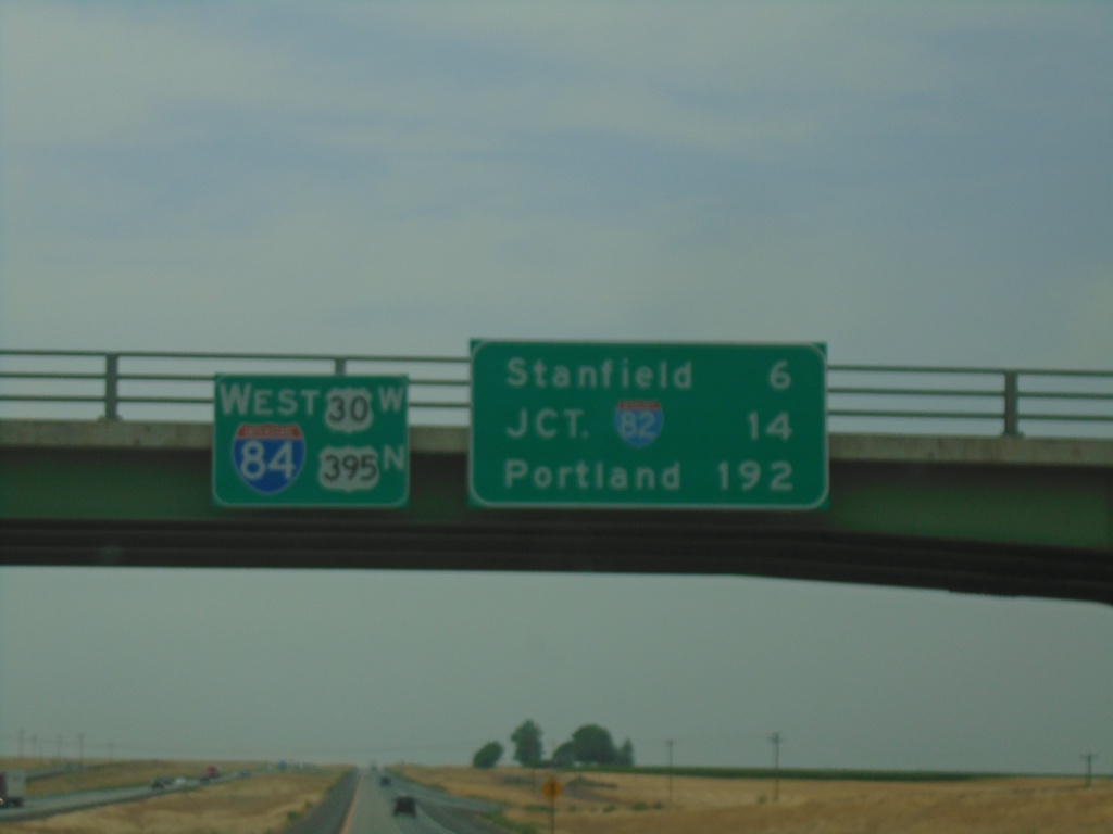
I-84/US-30 West/US-395 North - Distance Marker
Distance Marker on I-84/US-30 West/US-395 North at the overpass over Exit 193. Distance to Stanfield, Jct. I-82, and Portland.
Taken 08-08-2024


 Echo
Umatilla County
Oregon
United States
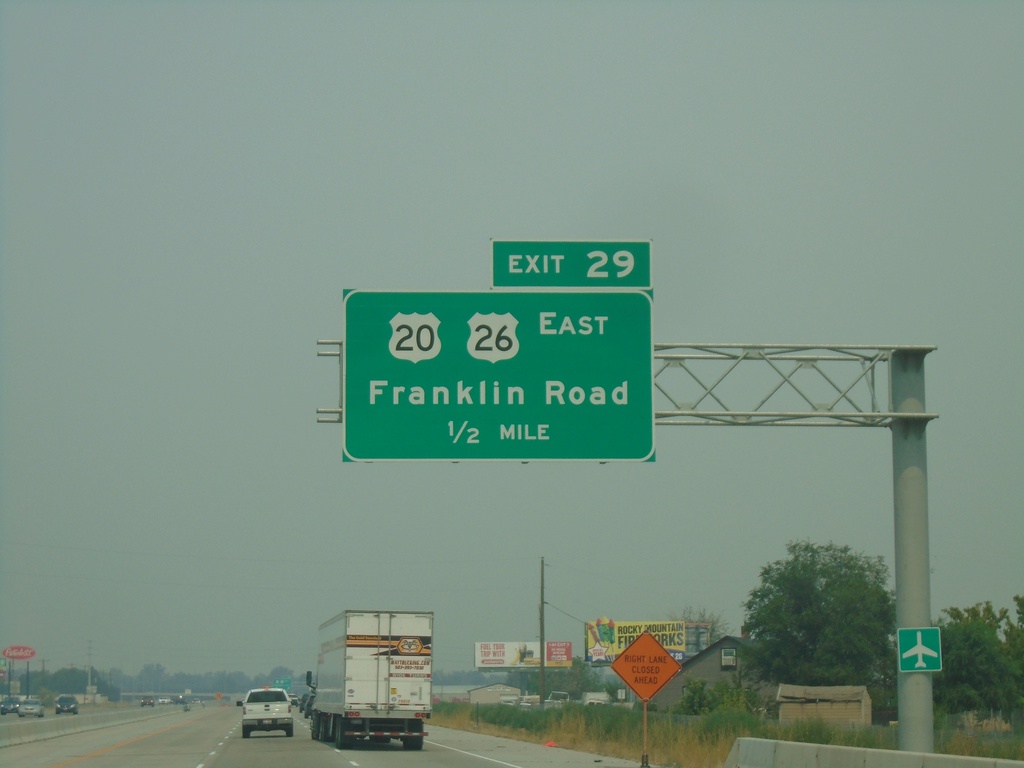
I-84 West - Exit 29
I-84 west approaching Exit 29 - US-20/US-26 East/Franklin Road.
Taken 08-08-2024


 Caldwell
Canyon County
Idaho
United States
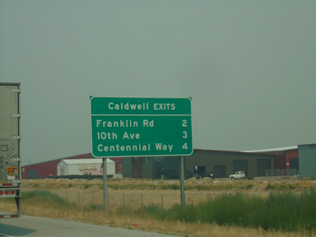
I-84 West - Caldwell Exits
Caldwell exits on I-84 west: Franklin Road, 10th Ave., Centennial Way
Taken 08-08-2024

 Caldwell
Canyon County
Idaho
United States
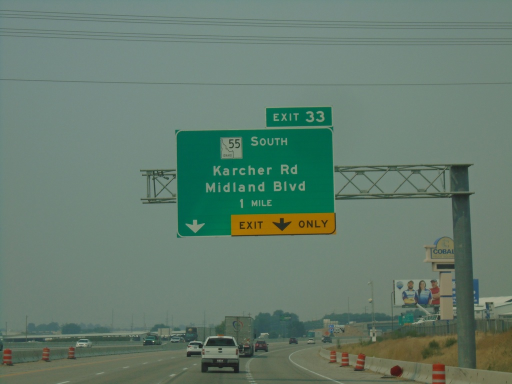
I-84 West - Exit 33
I-84 west approaching Exit 33 - ID-55 South/Karcher Road/Midland Blvd. ID-55 south leaves I-84 westbound.
Taken 08-08-2024


 Nampa
Canyon County
Idaho
United States
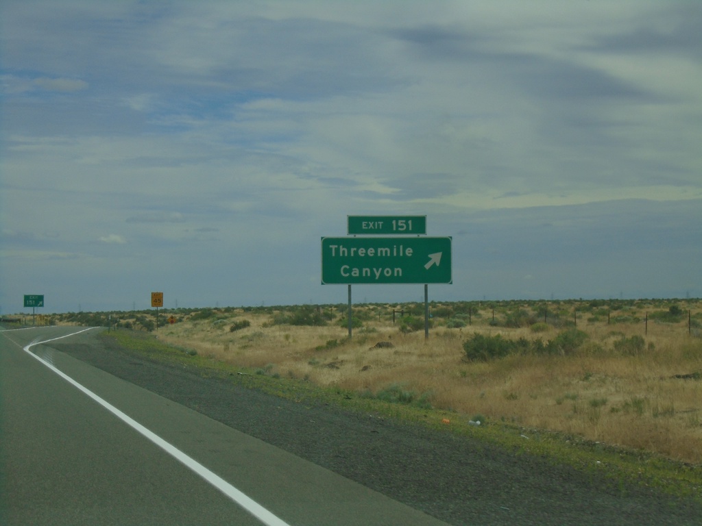
I-84 East - Exit 151
I-84 east at Exit 151 - Threemile Canyon
Taken 06-16-2024

 Boardman
Morrow County
Oregon
United States
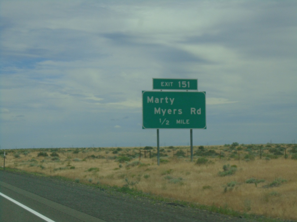
I-84 East - Exit 151
I-84 east at Exit 151 - Marty Myers Road. This exit is called Threemile Canyon at the actual interchange.
Taken 06-16-2024

 Boardman
Morrow County
Oregon
United States
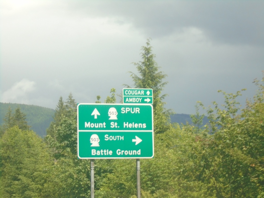
WA-503 South Approaching WA-503 Spur
WA-503 South Approaching WA-503 Spur in Cowlitz County. Turn right to continue south on WA-503 to Battle Ground and Amboy. Continue straight on roadway for WA-503 Spur to Mount St. Helens and Cougar.
Taken 06-15-2024

 Ariel
Cowlitz County
Washington
United States
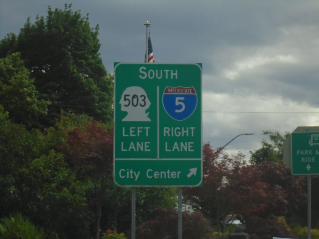
Pacific Ave. South at I-5/WA-503
Pacific Ave. South at I-5/WA-503. Use right lane for I-5 South and City Center; left lane for WA-503 south.
Taken 06-15-2024

 Woodland
Cowlitz County
Washington
United States
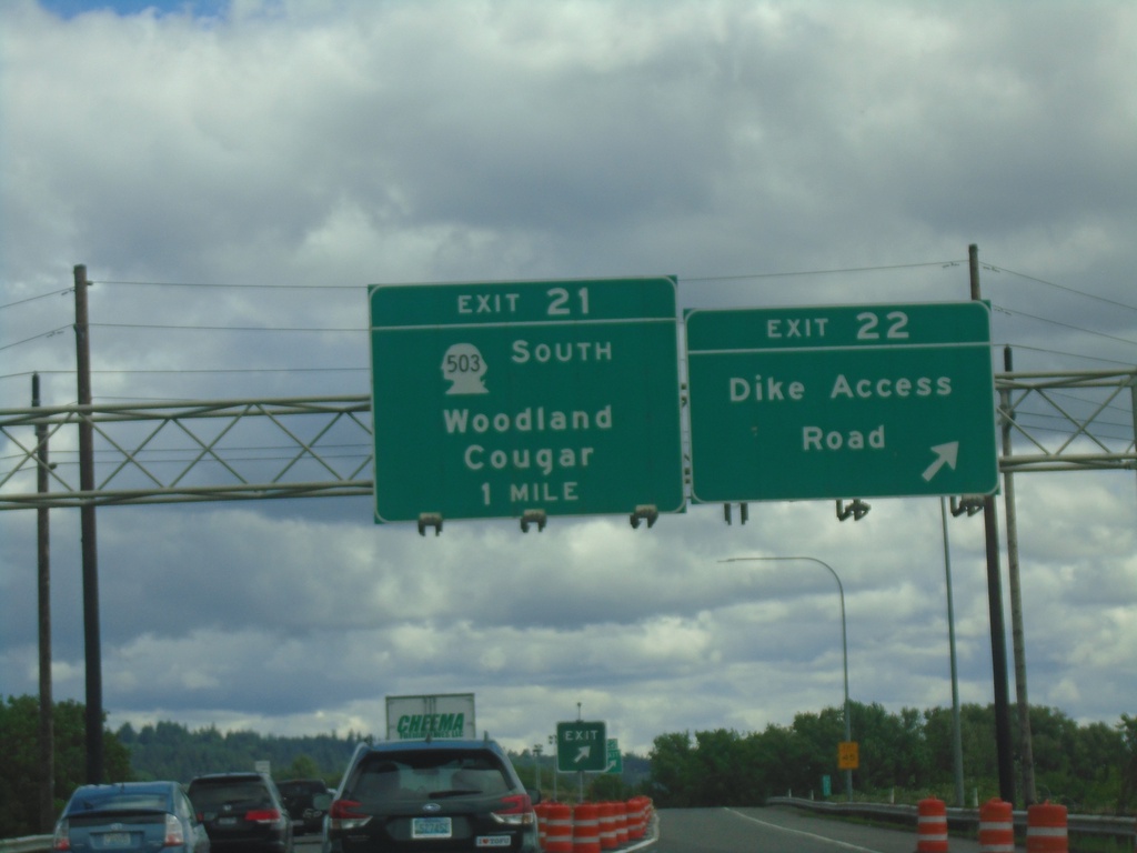
I-5 South - Exits 22 and 21
I-5 south at Exit 22 - Dyke Access Road. Approaching Exit 21 - WA-503 South/Woodland/Cougar.
Taken 06-15-2024

 Woodland
Cowlitz County
Washington
United States
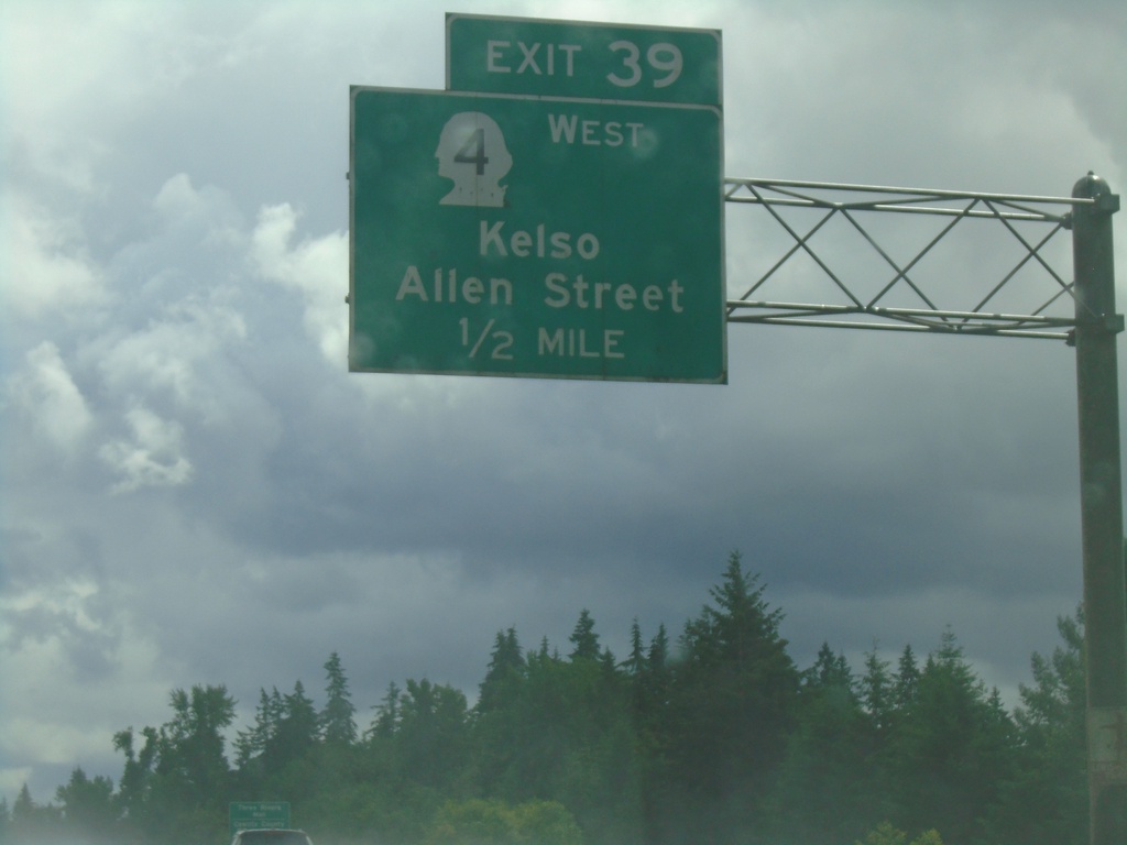
I-5 South - Exit 39
I-5 south approaching Exit 39 - WA-4 West/Kelso/Allen St.
Taken 06-15-2024

 Kelso
Cowlitz County
Washington
United States
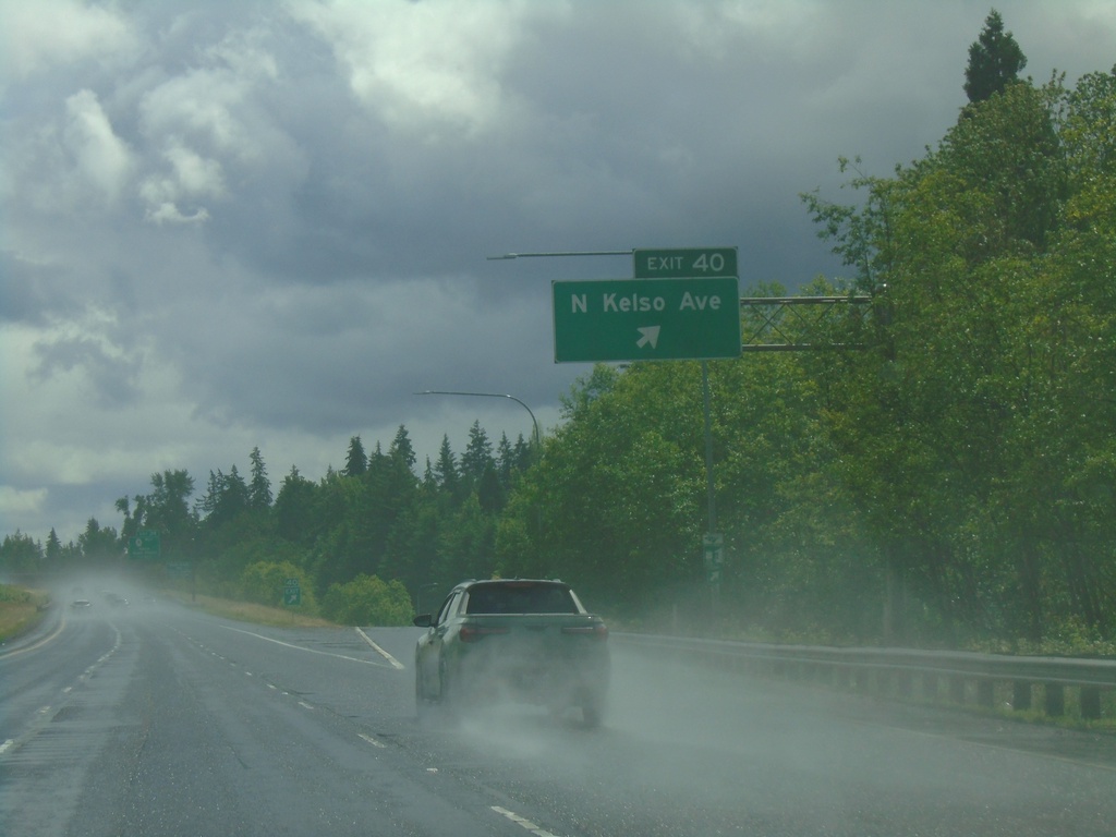
I-5 South - Exit 40
I-5 south at Exit 40 - Kelso Ave.
Taken 06-15-2024
 Kelso
Cowlitz County
Washington
United States
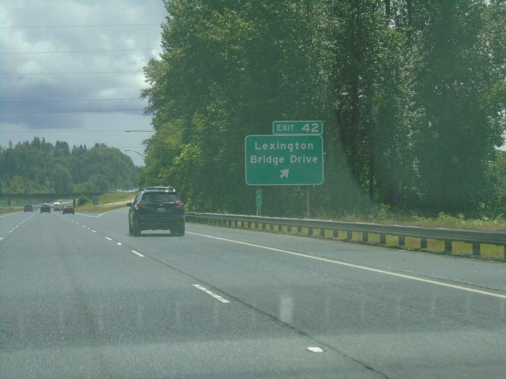
I-5 South - Exit 42
I-5 south at Exit 42 - Lexington Bridge Drive.
Taken 06-15-2024
 Kelso
Cowlitz County
Washington
United States
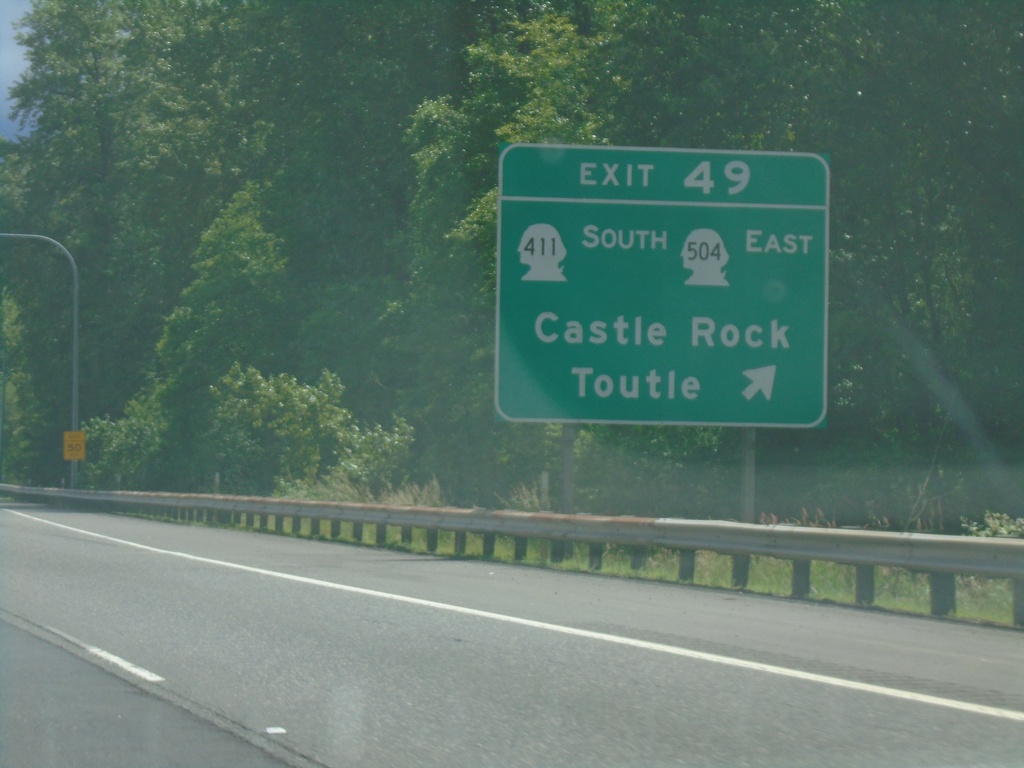
I-5 South - Exit 49
I-5 south at Exit 49 - WA-411 South/WA-504 East/Castle Rock/Toutle.
Taken 06-15-2024


 Castle Rock
Cowlitz County
Washington
United States