Signs Tagged With Big Green Sign
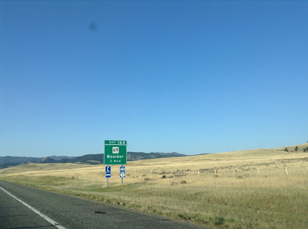
I-15 South - Exit 164
I-15 south approaching Exit 164 - MT-69/Boulder.
Taken 05-10-2015

 Boulder
Jefferson County
Montana
United States
Boulder
Jefferson County
Montana
United States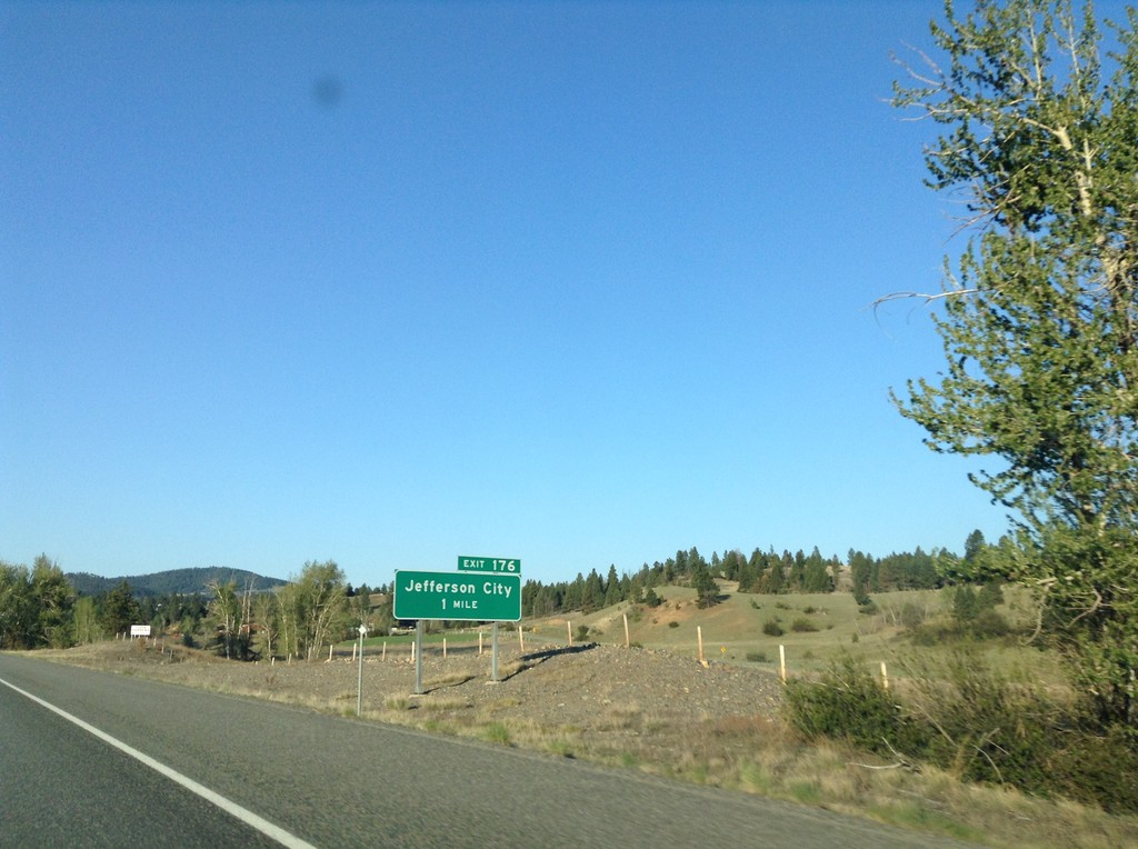
I-15 South - Exit 176
I-15 south approaching Exit 176 - Jefferson City.
Taken 05-10-2015
Clancy
Jefferson County
Montana
United States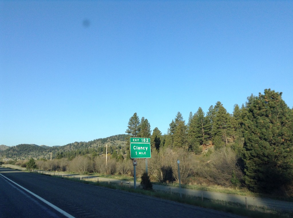
I-15 South - Exit 182
I-15 south approaching Exit 182 - Clancy.
Taken 05-10-2015
Clancy
Jefferson County
Montana
United States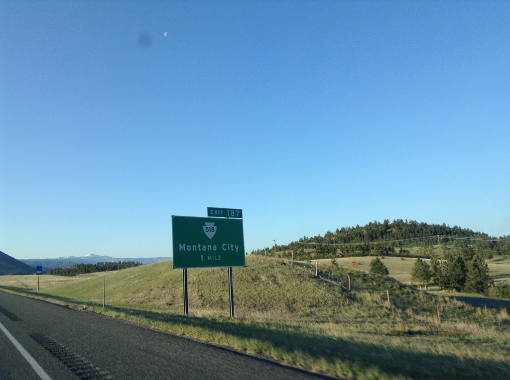
I-15 South - Exit 187
I-15 south approaching Exit 187 - MTS-518/Montana City.
Taken 05-10-2015
 Montana City
Jefferson County
Montana
United States
Montana City
Jefferson County
Montana
United States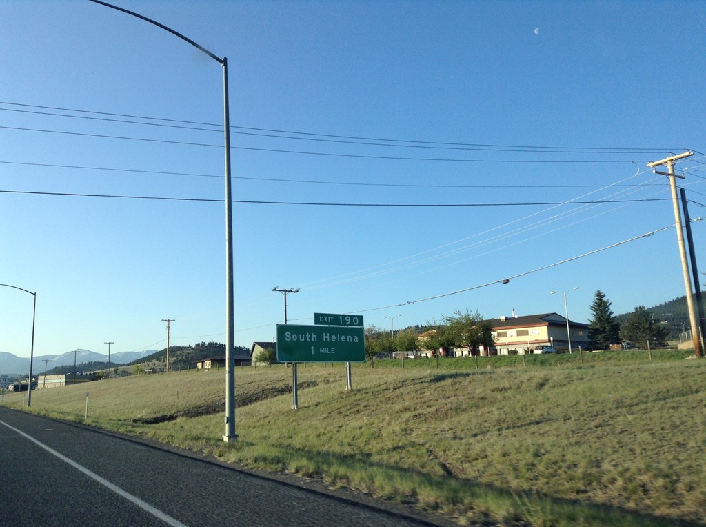
I-15 South - Exit 190
I-15 south approaching Exit 190 - South Helena.
Taken 05-10-2015
Helena
Lewis and Clark County
Montana
United States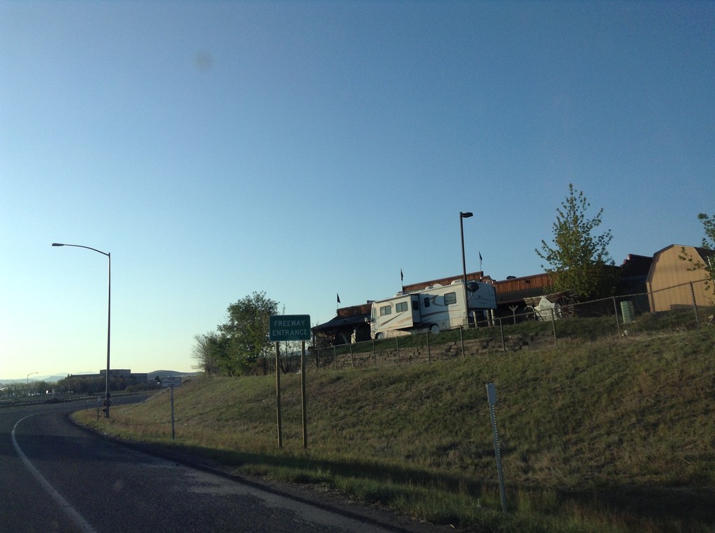
I-15 - Exit 192 Onramp
Freeway Entrance on I-15 onramp (Exit 192) in Helena.
Taken 05-10-2015


 Helena
Lewis and Clark County
Montana
United States
Helena
Lewis and Clark County
Montana
United States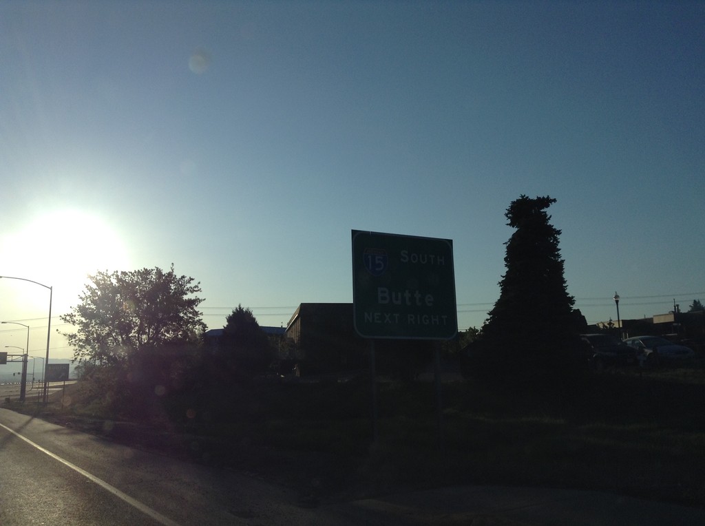
US-12 East at I-15 South Onramp
US-12 east at I-15 south to Butte. US-287 joins US-12 eastbound here. This is the southern end of the I-15 Business Loop in Helena.
Taken 05-10-2015
Helena
Lewis and Clark County
Montana
United States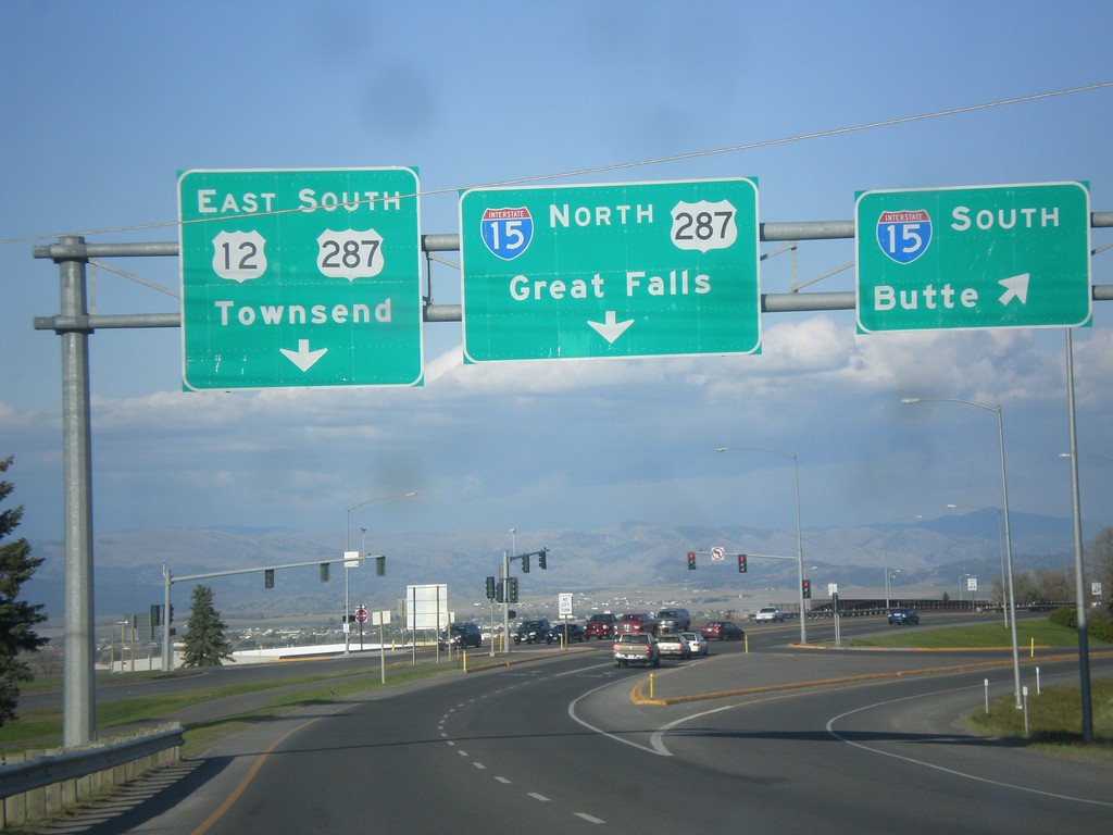
US-12 West/BL-15 South at I-15/US-287
US-12 West/BL-15 South (Prospect Ave.) at I-15. Turn right for I-15 south to Butte; stay right for I-15/US-287 North to Great Falls. Continue straight for US-12 East/US-287 South/Townsend. This is the southern end of the Helena business loop.
Taken 05-09-2015
Helena
Lewis and Clark County
Montana
United States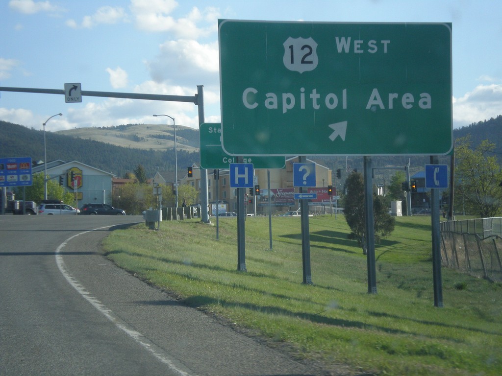
I-15 South - Exit 192 Offramp at US-12/US-287/BL-15
I-15 South - Exit 192 Offramp at US-12/US-287/BL-15. Merge right for US-12 West/Capitol Area (Prospect Ave.)
Taken 05-09-2015
Helena
Lewis and Clark County
Montana
United States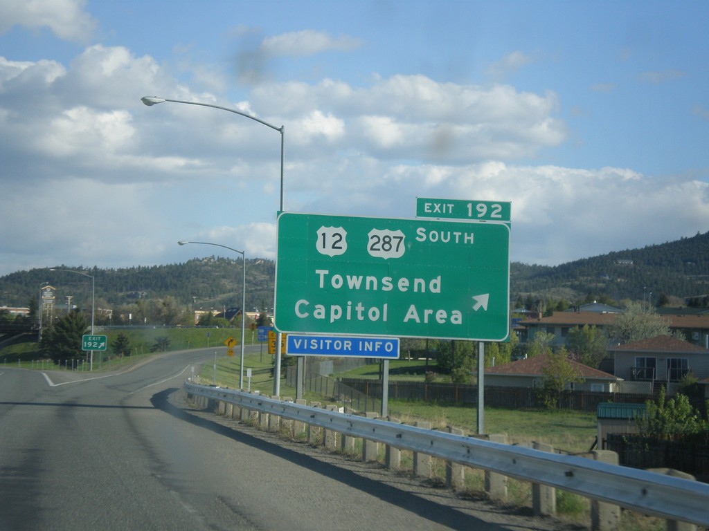
I-15 South - Exit 192
I-15 south at Exit 192 - US-12/US-287 South/Townsend/Capitol Area. US-287 leaves I-15 southbound here.
Taken 05-09-2015
Helena
Lewis and Clark County
Montana
United States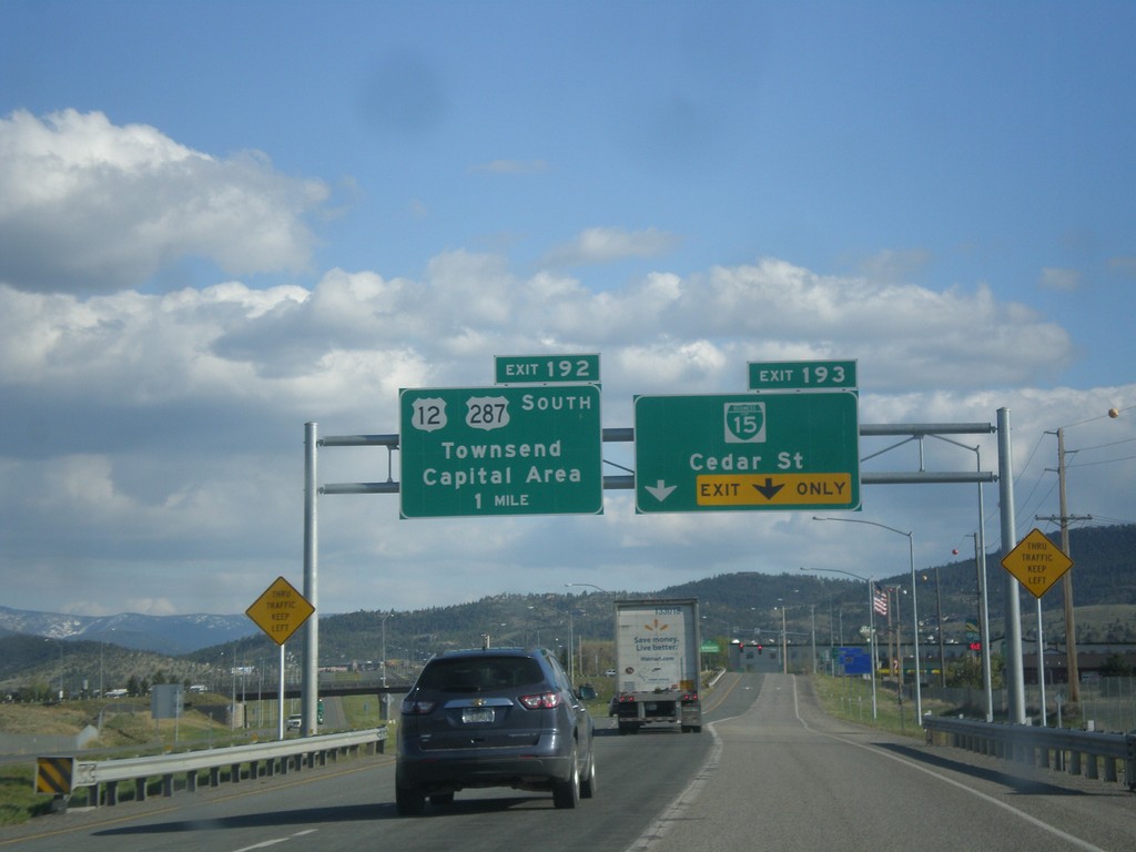
I-15 South - Exits 193 and 192
I-15 south at Exit 193 - BL-15/Cedar St. Approaching Exit 192 - US-12/US-287 South/Townsend/Capital Area.
Taken 05-09-2015
Helena
Lewis and Clark County
Montana
United States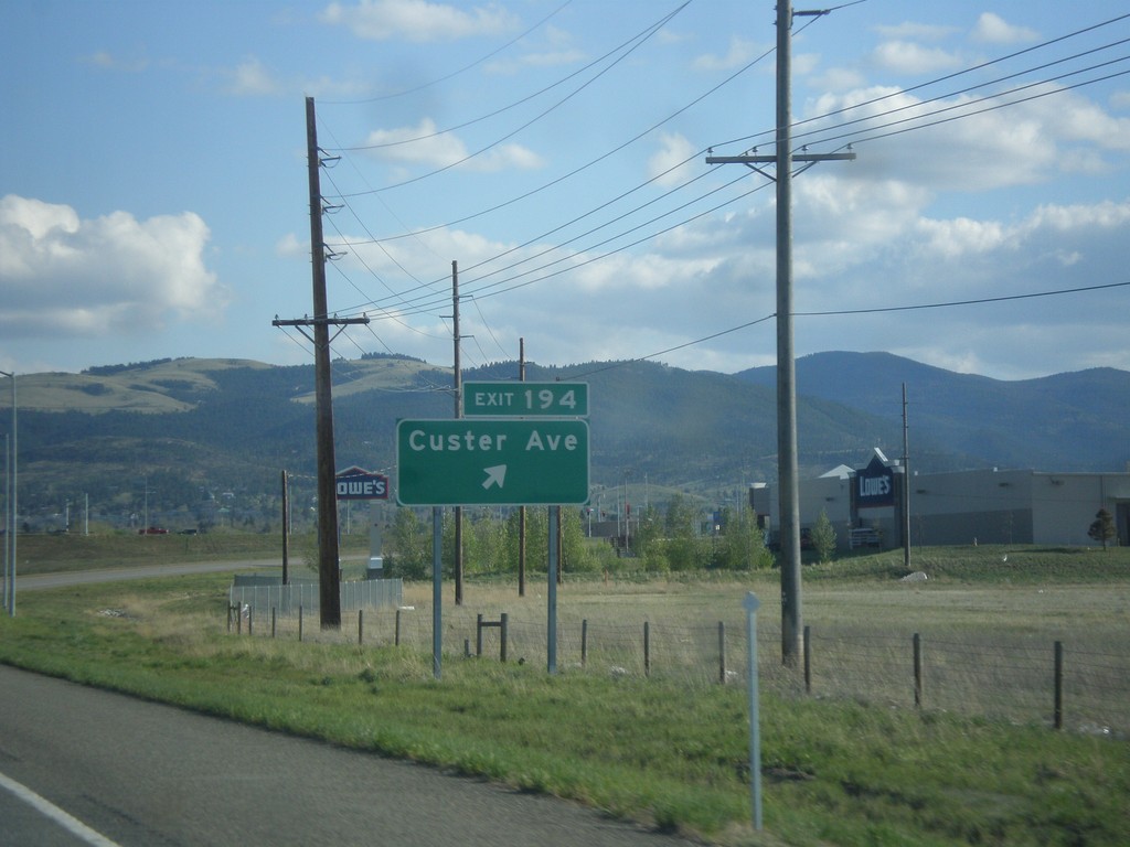
I-15 South - Exit 194
I-15 south at Exit 194 - Custer Ave. This interchange was opened in 2012.
Taken 05-09-2015
Helena
Lewis and Clark County
Montana
United States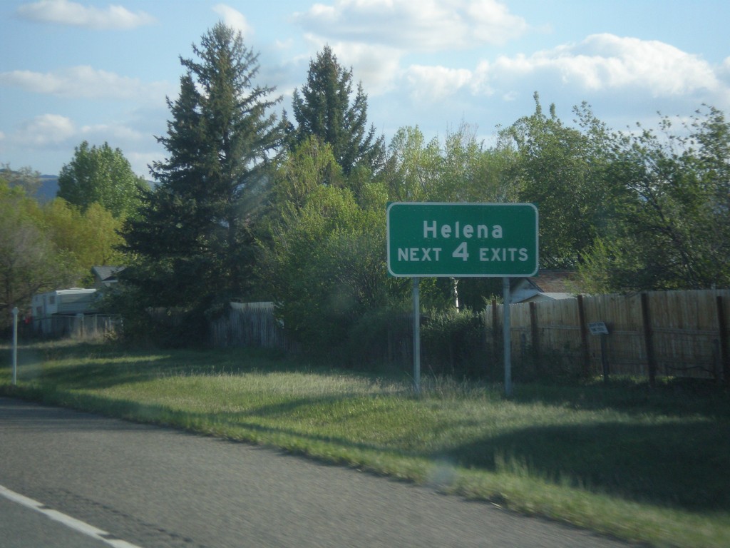
I-15 South - Helena Exits
Helena - Next 4 Exits on I-15 south.
Taken 05-09-2015
Helena
Lewis and Clark County
Montana
United States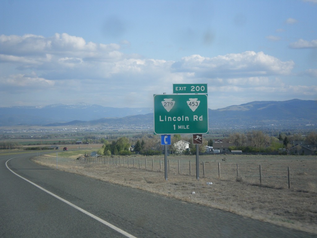
I-15 South - Exit 200
I-15 south approaching Exit 200 - MTS-279/MTS-453/Lincoln Road.
Taken 05-09-2015

 Helena
Lewis and Clark County
Montana
United States
Helena
Lewis and Clark County
Montana
United States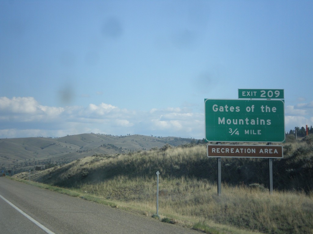
I-15 South - Exit 209
I-15 south approaching Exit 209 - Gates of the Mountains.
Taken 05-09-2015
Helena
Lewis and Clark County
Montana
United States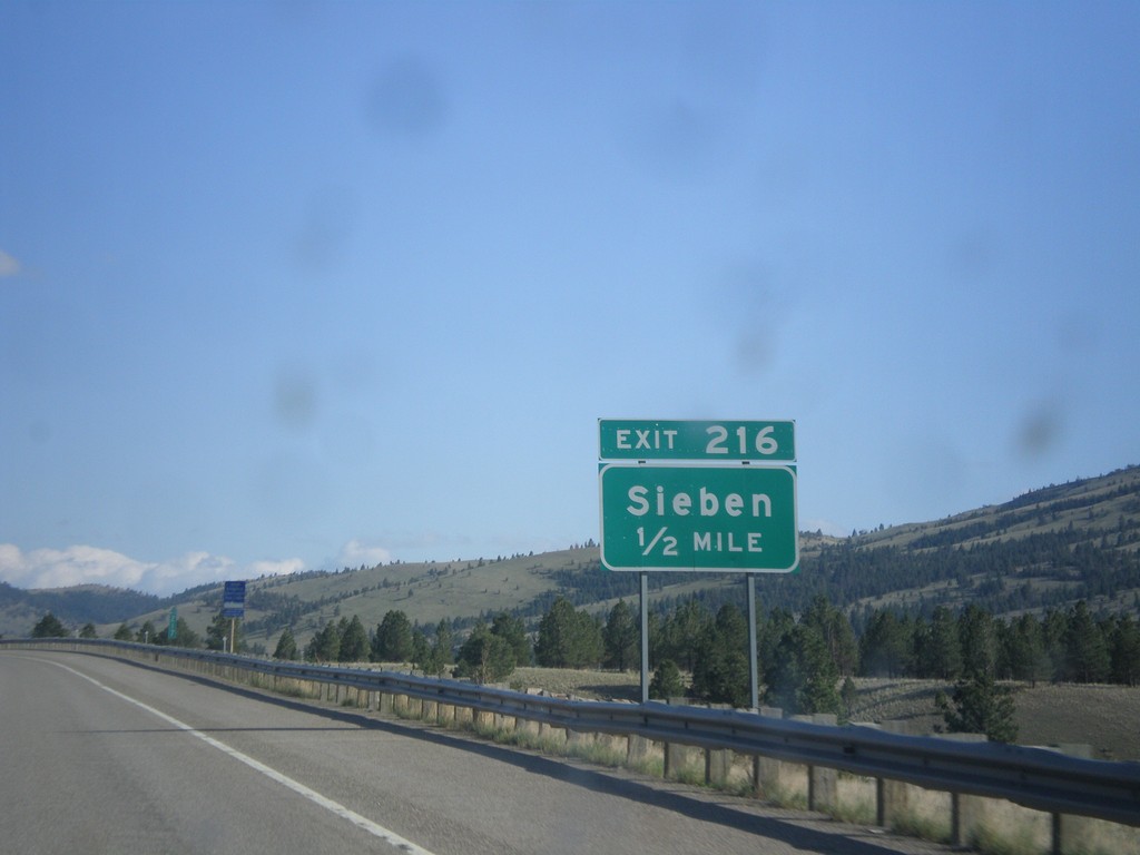
I-15 South - Exit 216
I-15 south approaching Exit 216 - Sieben.
Taken 05-09-2015
Wolf Creek
Lewis and Clark County
Montana
United States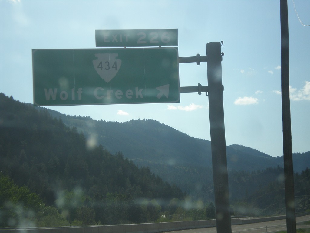
I-15 South - Exit 226
I-15 south at Exit 226 - MTS-434/Wolf Creek.
Taken 05-09-2015
Wolf Creek
Lewis and Clark County
Montana
United States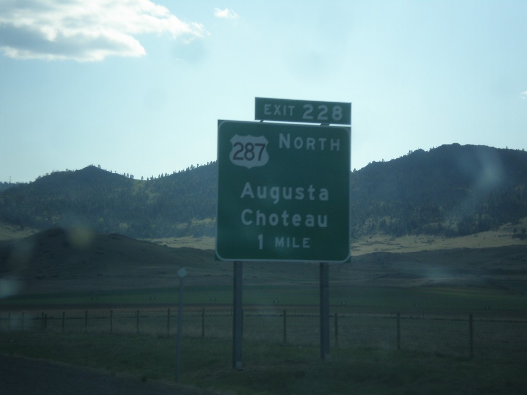
I-15 South - Exit 228
I-15 south approaching Exit 228 - US-287 North/Augusta/Choteau. US-287 joins I-15 south to Helena.
Taken 05-09-2015
Wolf Creek
Lewis and Clark County
Montana
United States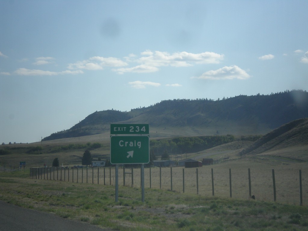
I-15 South - Exit 234
I-15 south at Exit 234 - Craig.
Taken 05-09-2015
Craig
Lewis and Clark County
Montana
United States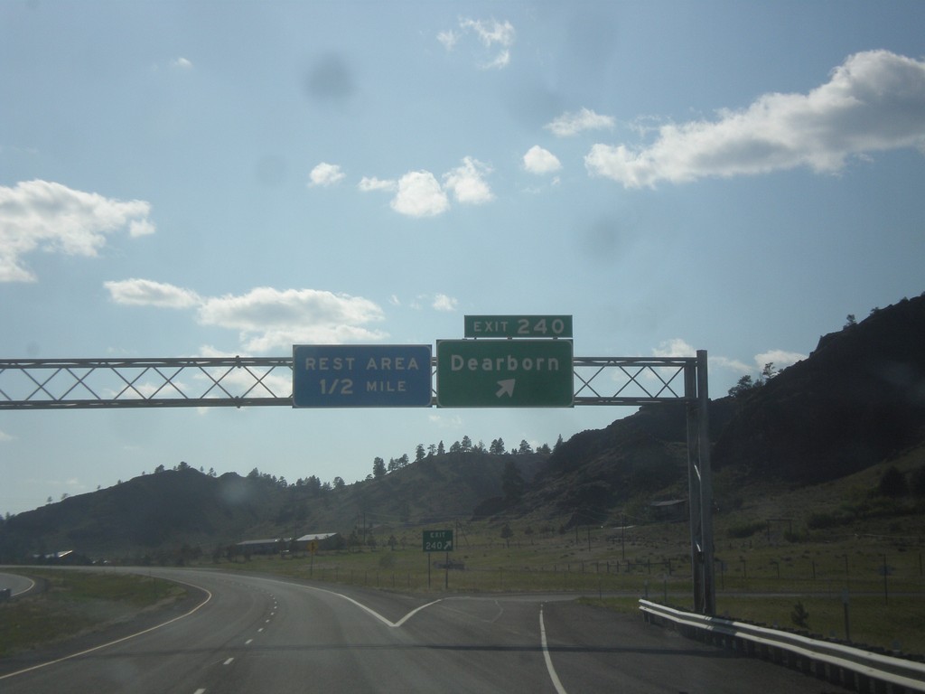
I-15 South - Exit 240
I-15 south at Exit 240 - Dearborn. Approaching Rest Area.
Taken 05-09-2015
Cascade
Cascade County
Montana
United States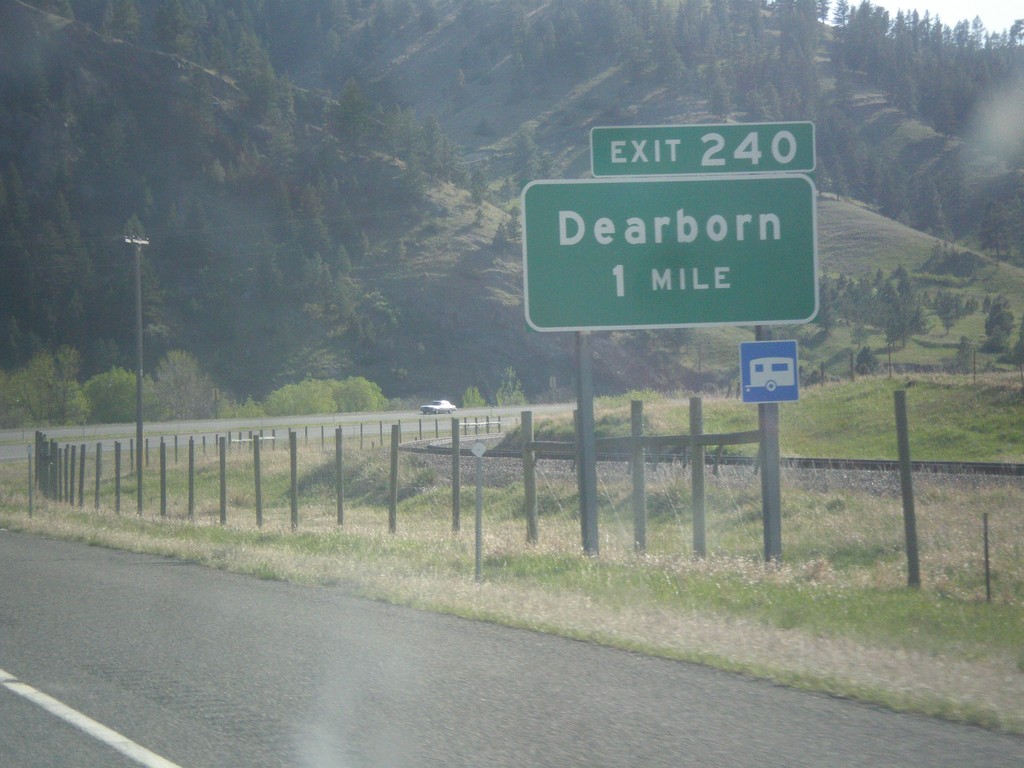
I-15 South - Exit 240
I-15 south approaching Exit 240 - Dearborn.
Taken 05-09-2015
Cascade
Cascade County
Montana
United States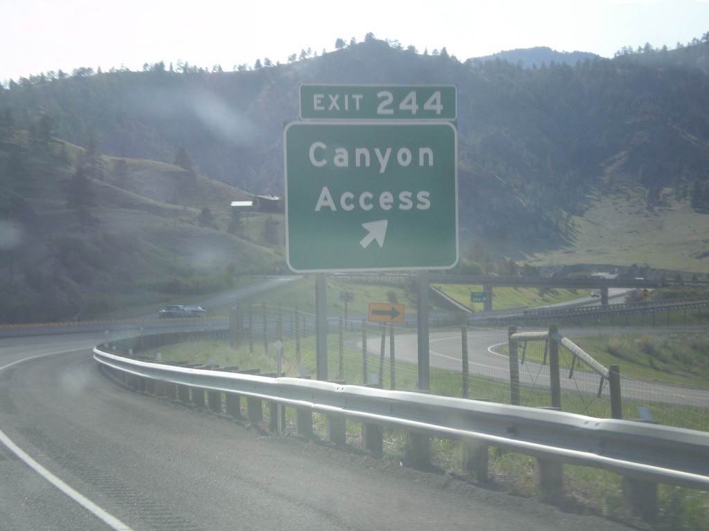
I-15 South - Exit 244
I-15 south at Exit 244 - Canyon Access.
Taken 05-09-2015
Cascade
Cascade County
Montana
United States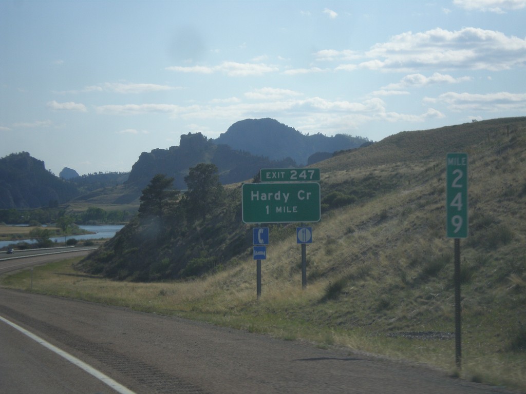
I-15 South - Exit 247
I-15 south approaching Exit 247 - Hardy Creek.
Taken 05-09-2015
Cascade
Cascade County
Montana
United States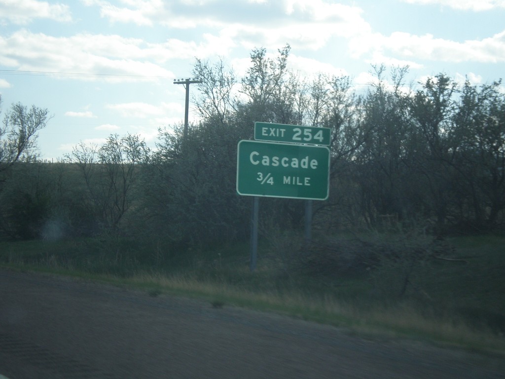
I-15 South - Exit 254
I-15 south approaching Exit 254 - Cascade.
Taken 05-09-2015
 Cascade
 County
Montana
United States
Cascade
Cascade County
Montana
United States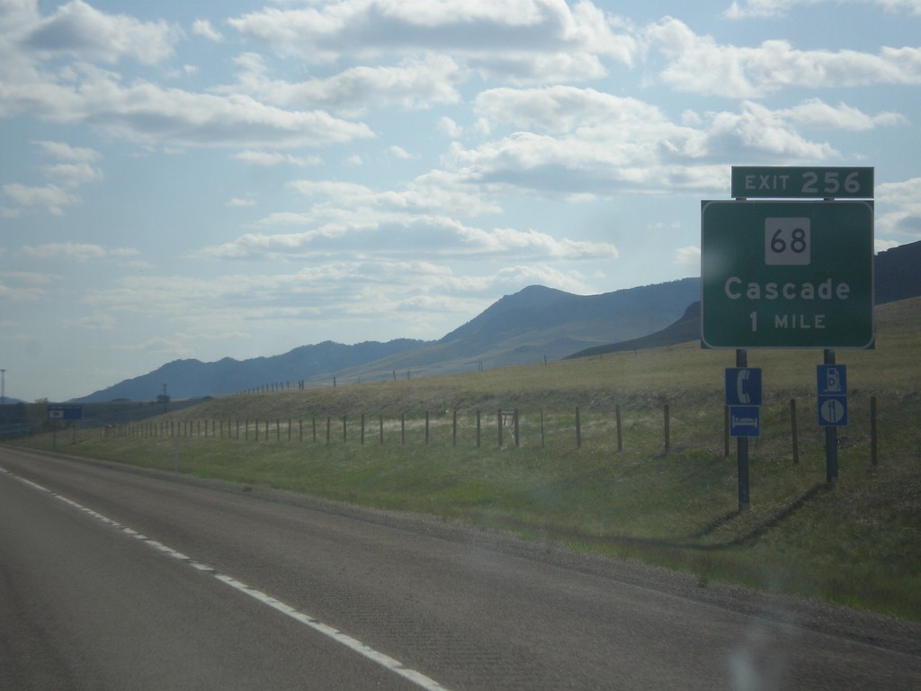
I-15 South - Exit 256
I-15 south approaching Exit 256 - MT-68/Cascade.
Taken 05-09-2015
Cascade
Cascade County
Montana
United States