Signs Tagged With Big Green Sign
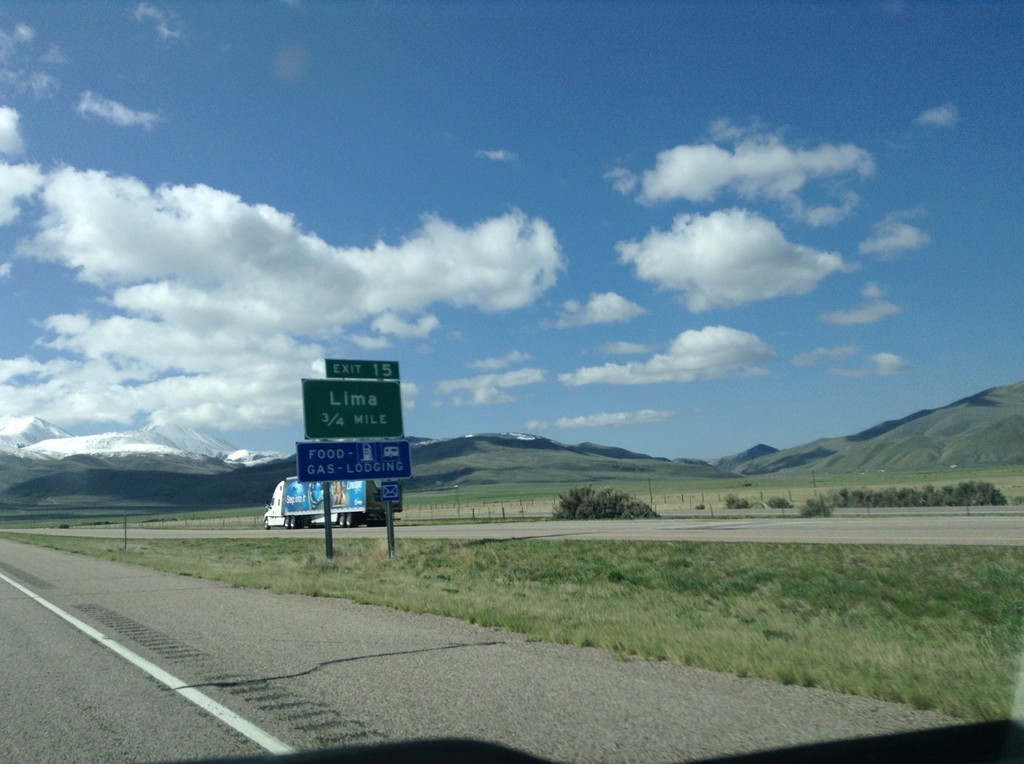
I-15 South - Exit 15
I-15 south approaching Exit 15 - Lima.
Taken 05-10-2015
 Lima
Beaverhead County
Montana
United States
Lima
Beaverhead County
Montana
United States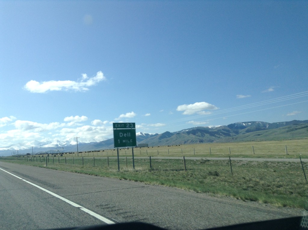
I-15 South - Exit 23
I-15 south approaching Exit 23 - Dell.
Taken 05-10-2015
Dillon
Beaverhead County
Montana
United States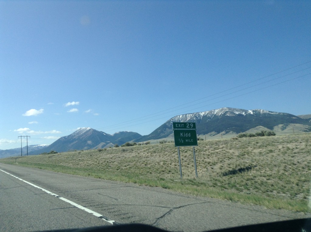
I-15 South - Exit 29
I-15 south approaching Exit 29 - Kidd.
Taken 05-10-2015
Dillon
Beaverhead County
Montana
United States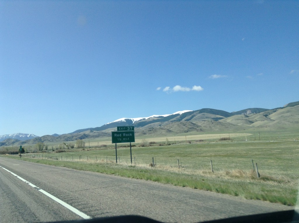
I-15 South - Exit 37
I-15 south approaching Exit 37 - Red Rock.
Taken 05-10-2015
Dillon
Beaverhead County
Montana
United States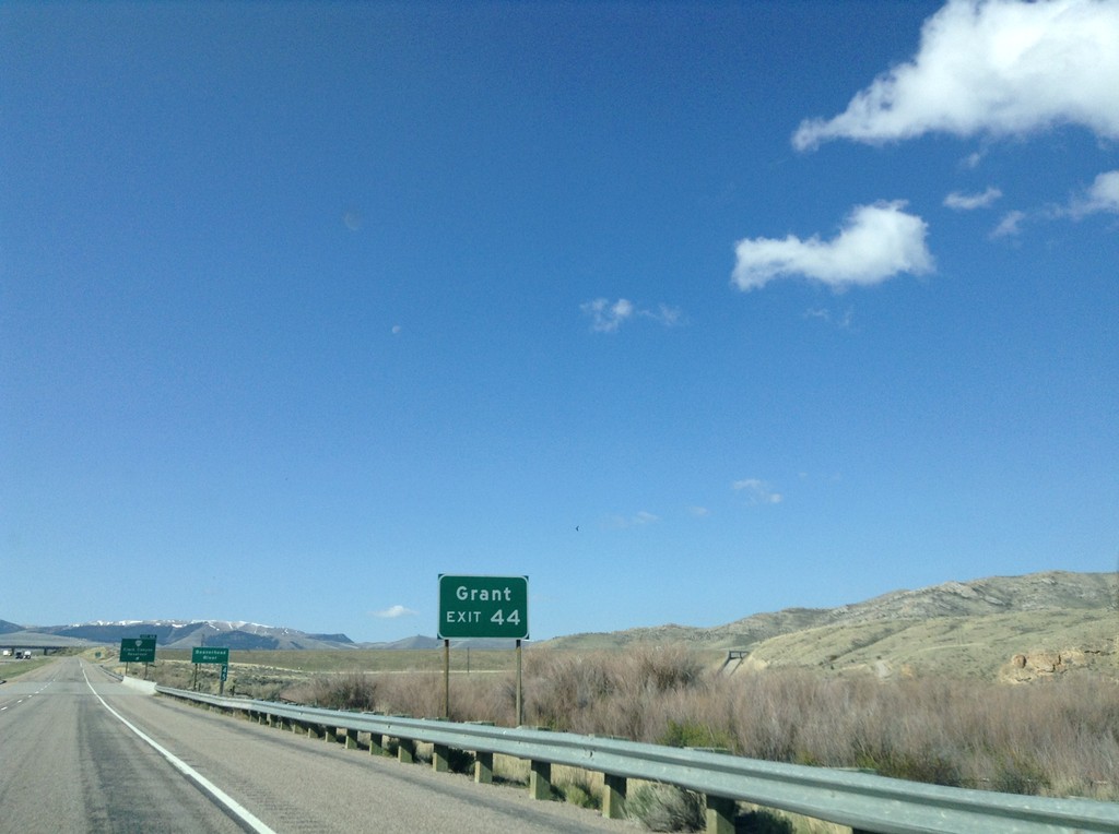
I-15 South - Exit 44
I-15 south approaching Exit 44. Use Exit 44 for Grant, Montana.
Taken 05-10-2015
 Dillon
Beaverhead County
Montana
United States
Dillon
Beaverhead County
Montana
United States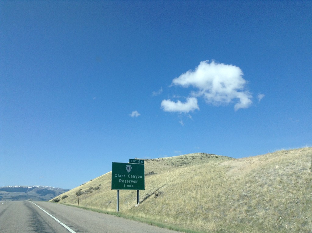
I-15 South - Exit 44
I-15 south approaching Exit 44 - MTS-324/Clark Canyon Dam.
Taken 05-10-2015
Dillon
Beaverhead County
Montana
United States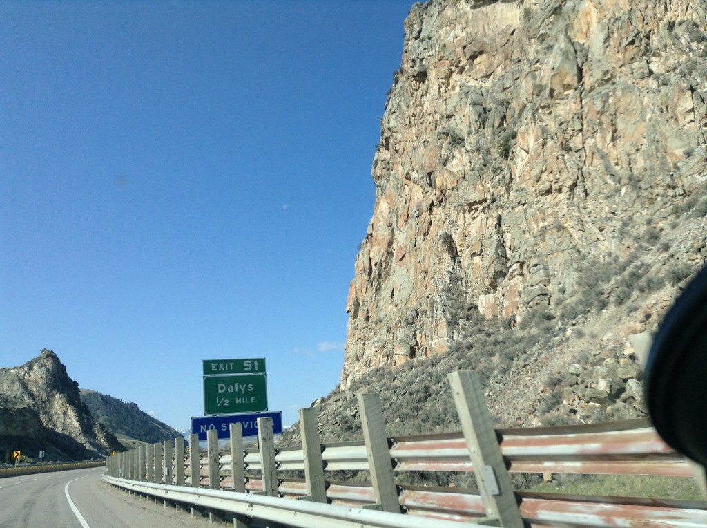
I-15 South - Exit 51
I-15 south approaching Exit 51 - Dalys.
Taken 05-10-2015
Dillon
Beaverhead County
Montana
United States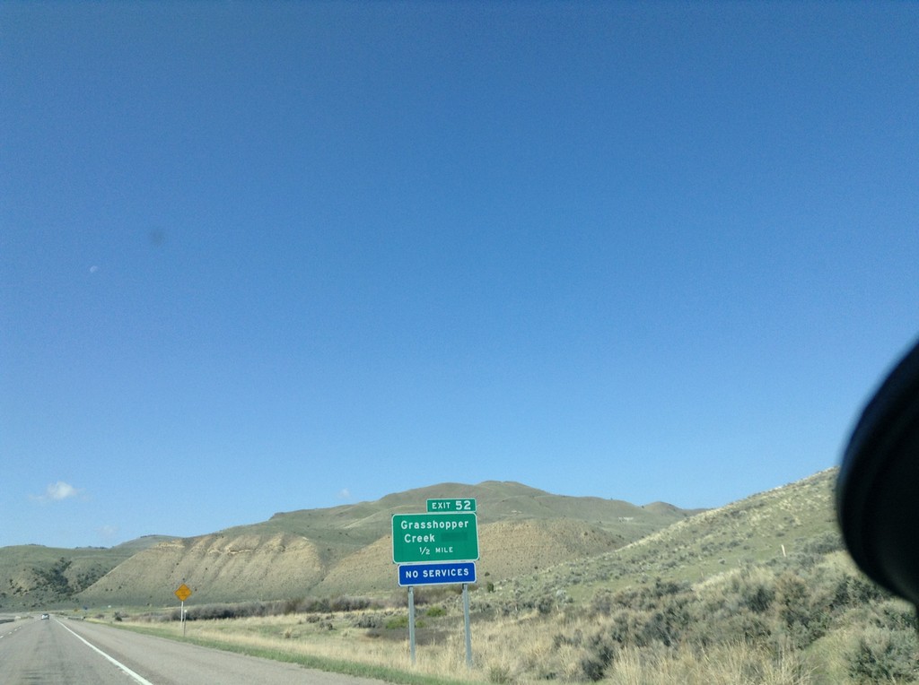
I-15 South - Exit 52
I-15 south approaching Exit 52 - Grasshopper Creek.
Taken 05-10-2015
Dillon
Beaverhead County
Montana
United States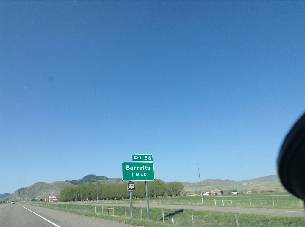
I-15 South - Exit 56
I-15 south at Exit 56 - Barretts.
Taken 05-10-2015
Dillon
Beaverhead County
Montana
United States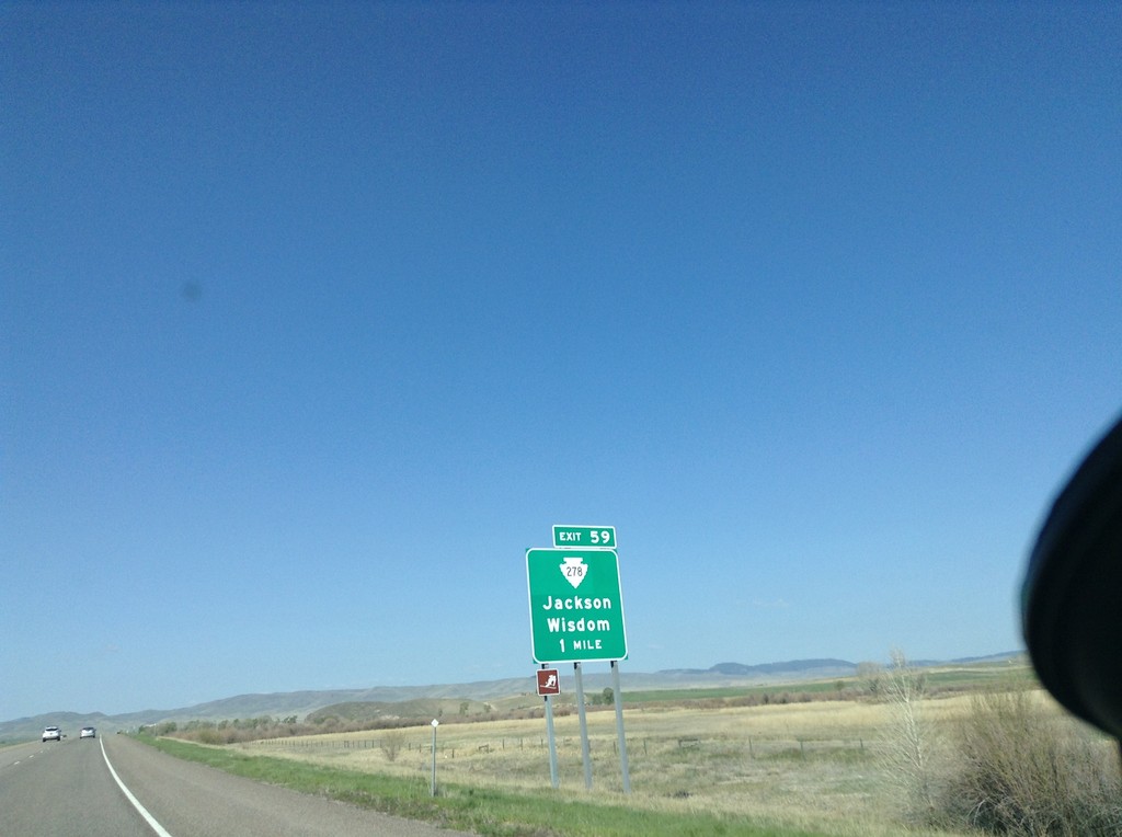
I-15 South - Exit 62
I-15 south approaching Exit 62 - MTS-278/Jackson/Wisdom.
Taken 05-10-2015
 Dillon
Beaverhead County
Montana
United States
Dillon
Beaverhead County
Montana
United States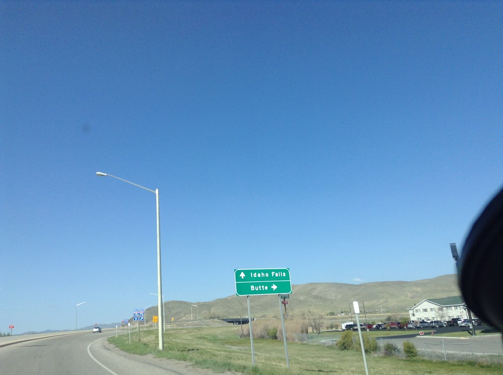
BL-15 North at I-15
BL-15 North at I-15. Merge right for I-15 north to Butte; left for I-15 south to Idaho Falls. This is the northern end of the Dillon business loop.
Taken 05-10-2015
 Dillon
Beaverhead County
Montana
United States
Dillon
Beaverhead County
Montana
United States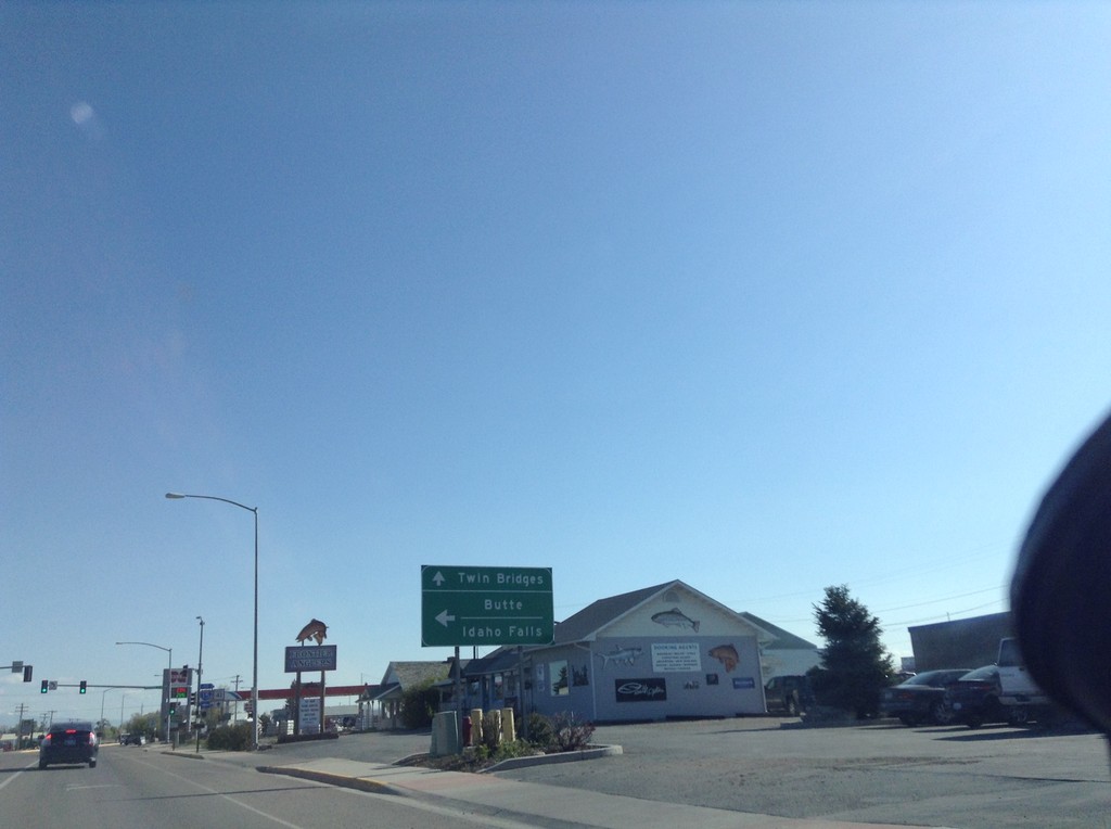
BL-15 North at MT-41
BL-15 north at MT-41 in Dillon. Turn left for I-15 to Butte and Idaho Falls. Continue straight for MT-41 north to Twin Bridges.
Taken 05-10-2015
 Dillon
Beaverhead County
Montana
United States
Dillon
Beaverhead County
Montana
United States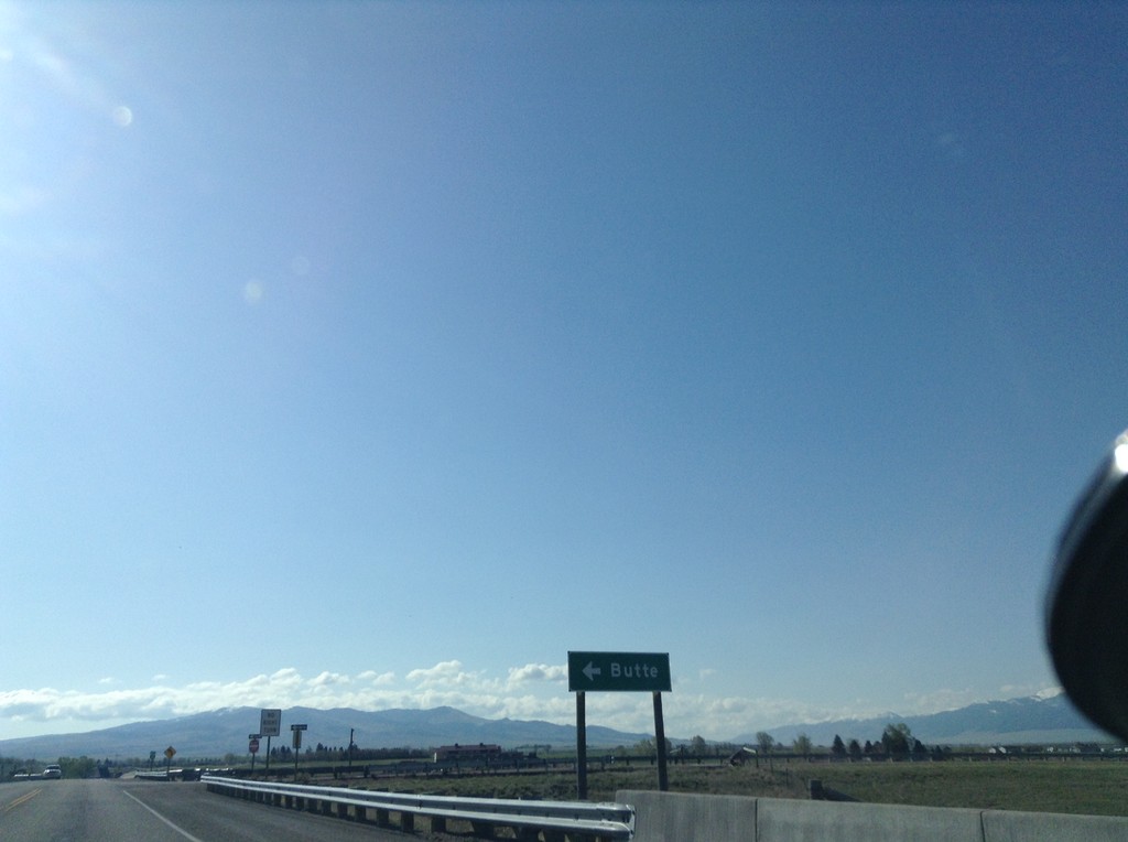
Begin BL-15 North at I-15 North
Begin BL-15 North at I-15 North to Butte (Exit 62).
Taken 05-10-2015
Dillon
Beaverhead County
Montana
United States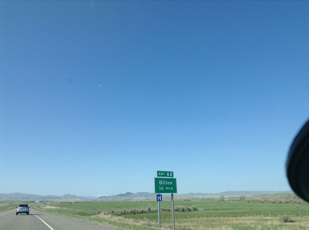
I-15 South - Exit 62
I-15 south approaching Exit 62 - Dillon. This is the southern end of the Dillon business loop.
Taken 05-10-2015
Dillon
Beaverhead County
Montana
United States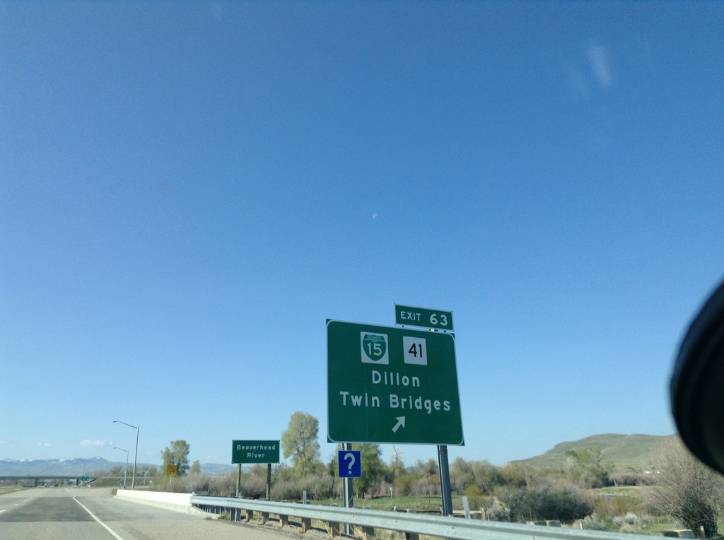
I-15 South - Exit 63
I-15 south at Exit 63 - BL-15/MT-41/Dillon/Twin Bridges. This is the northern end of the Dillon business loop.
Taken 05-10-2015
Dillon
Beaverhead County
Montana
United States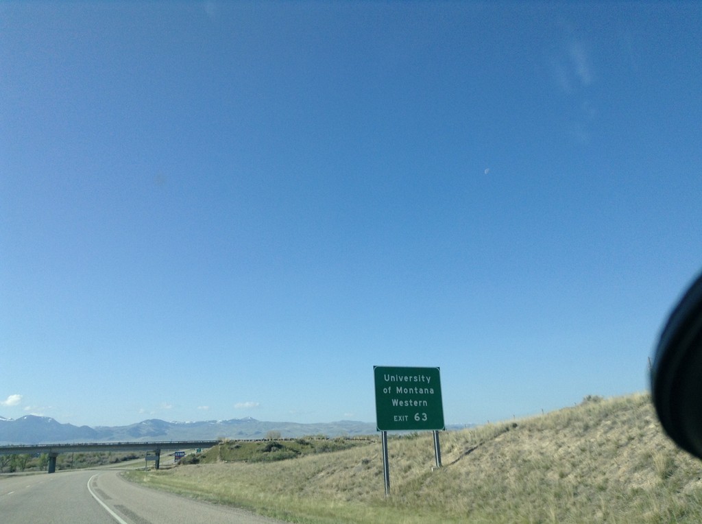
I-15 South - University of Montana Western
Use Exit 63 for University of Montana Western on I-15 south.
Taken 05-10-2015
Dillon
Beaverhead County
Montana
United States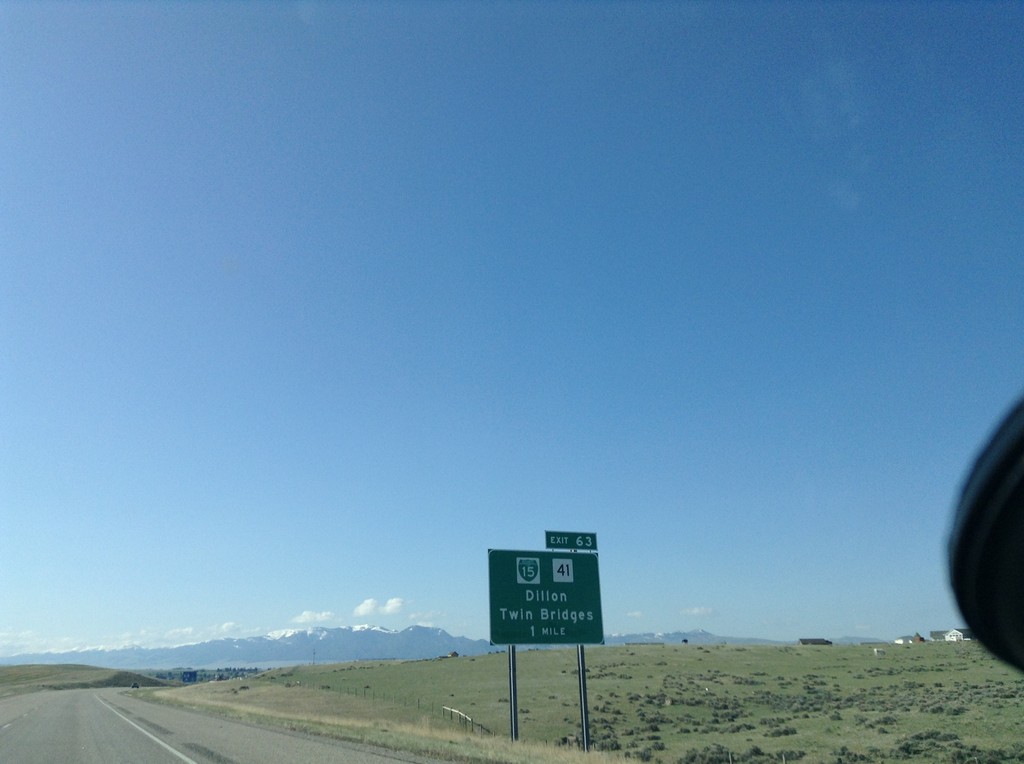
I-15 South - Exit 63
I-15 south approaching Exit 63 - BL-15/MT-41/Dillon/Twin Bridges.
Taken 05-10-2015
Dillon
Beaverhead County
Montana
United States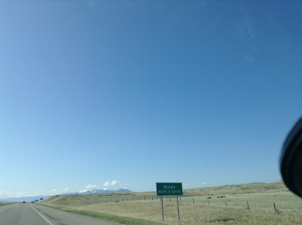
I-15 South - Dillon Exits
I-15 south - Dillon Next 2 Exits. Dillon is the county seat of Beaverhead County and home to the University of Western Montana.
Taken 05-10-2015
Dillon
Beaverhead County
Montana
United States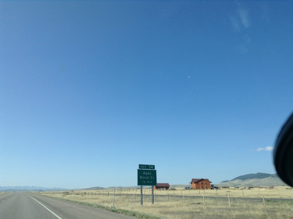
I-15 South - Exit 74
I-15 south approaching Exit 74 - Apex/Birch Creek.
Taken 05-10-2015
Twin Bridges
Beaverhead County
Montana
United States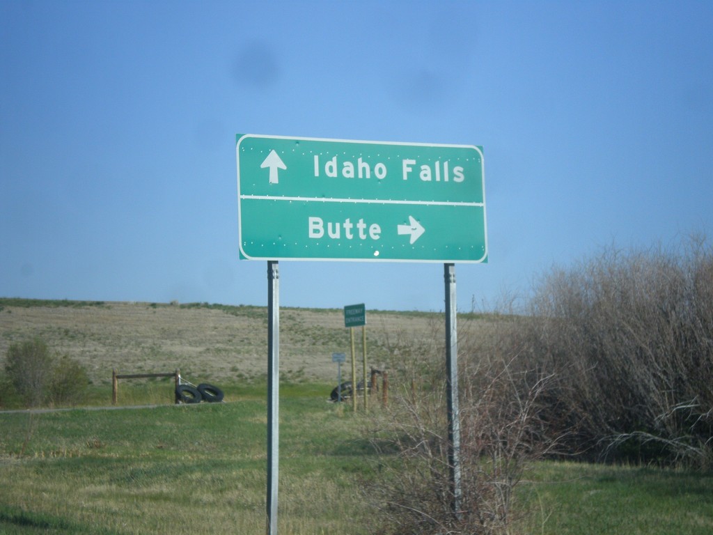
I-15 Exit 85 Onramp
I-15 Exit 85 Onramp at Glen interchange. Turn right for I-15 north to Butte; continue under the freeway for I-15 south to Idaho Falls.
Taken 05-10-2015
Wise River
Beaverhead County
Montana
United States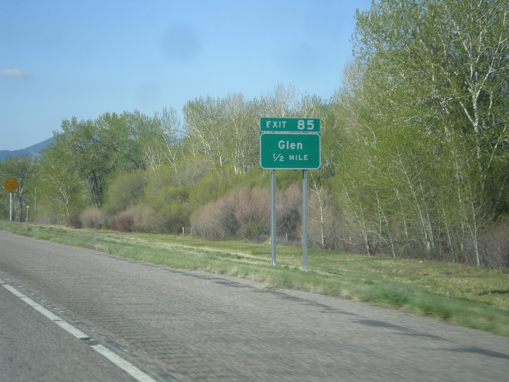
I-15 South - Exit 85
I-15 south approaching Exit 85 - Glen.
Taken 05-10-2015
Silver Star
Madison County
Montana
United States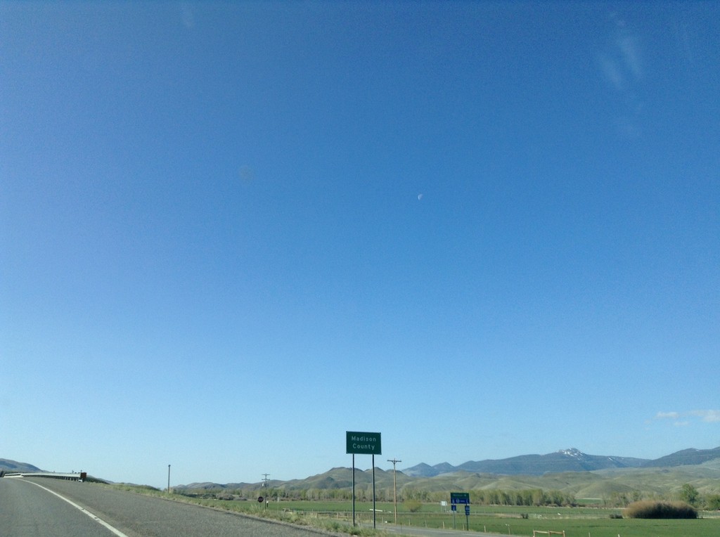
I-15 South - Madison County
Madison County on I-15 south.
Taken 05-10-2015
Silver Star
Madison County
Montana
United States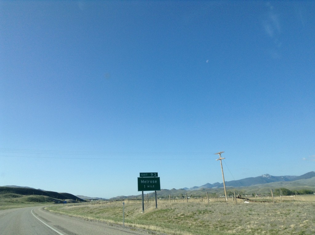
I-15 South - Exit 93
I-15 south approaching Exit 93 - Melrose
Taken 05-10-2015
Butte
Silver Bow County
Montana
United States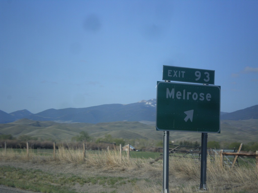
I-15 South - Exit 93
I-15 south at Exit 93 - Melrose.
Taken 05-10-2015
Butte
Silver Bow County
Montana
United States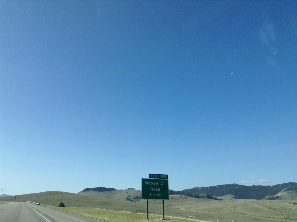
I-15 South - Exit 99
I-15 south approaching Exit 99 - Moose Creek Road.
Taken 05-10-2015
Butte
Silver Bow County
Montana
United States