Signs Tagged With Big Green Sign
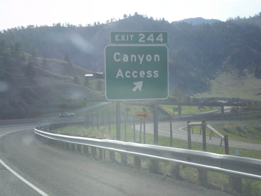
I-15 South - Exit 244
I-15 south at Exit 244 - Canyon Access.
Taken 05-09-2015
 Cascade
 County
Montana
United States
Cascade
Cascade County
Montana
United States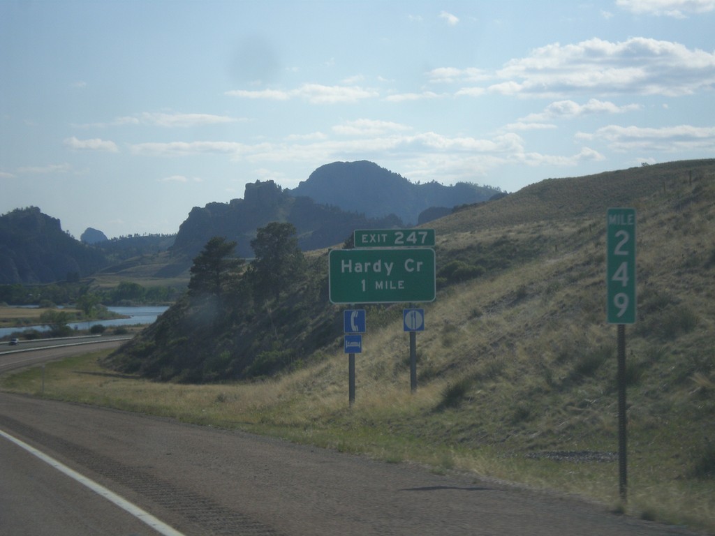
I-15 South - Exit 247
I-15 south approaching Exit 247 - Hardy Creek.
Taken 05-09-2015
Cascade
Cascade County
Montana
United States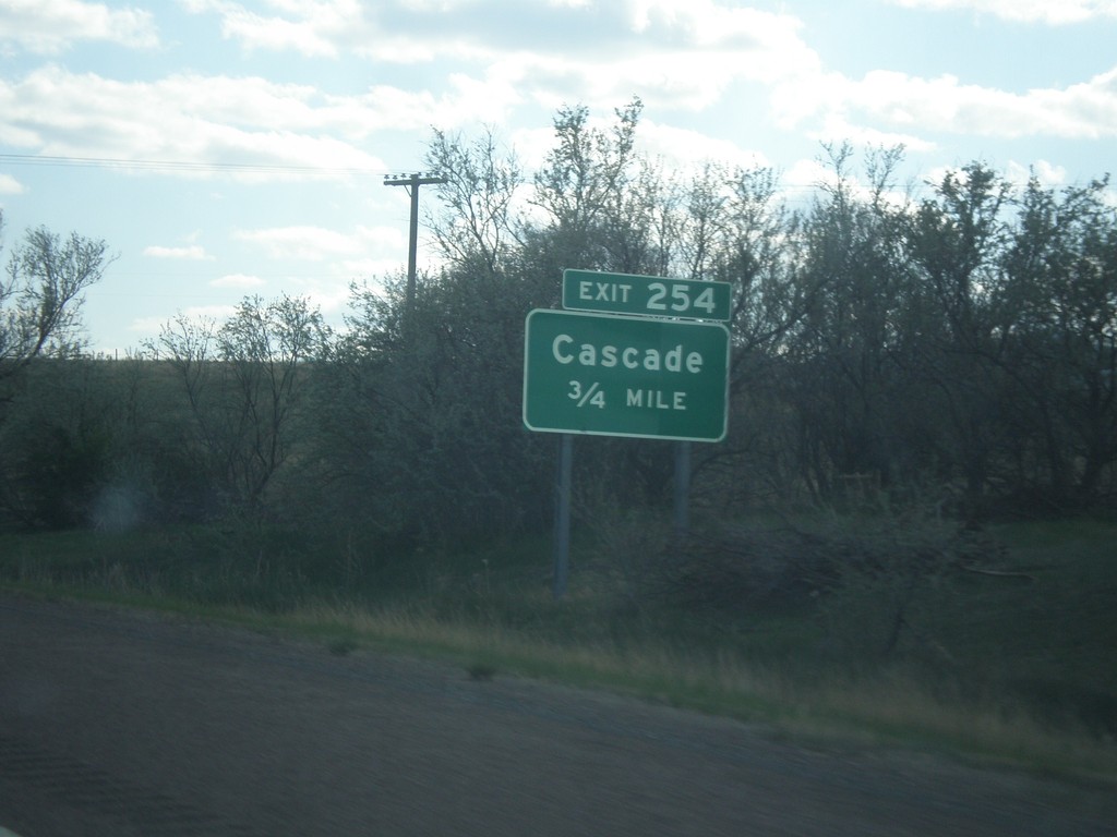
I-15 South - Exit 254
I-15 south approaching Exit 254 - Cascade.
Taken 05-09-2015
 Cascade
 County
Montana
United States
Cascade
Cascade County
Montana
United States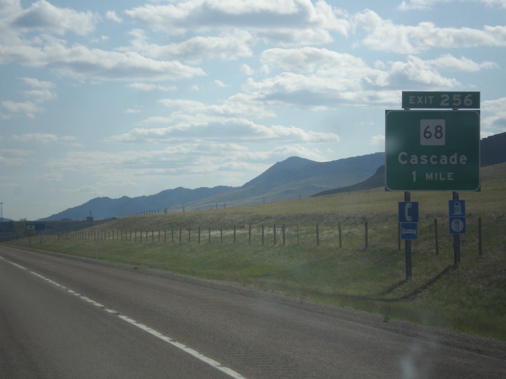
I-15 South - Exit 256
I-15 south approaching Exit 256 - MT-68/Cascade.
Taken 05-09-2015
Cascade
Cascade County
Montana
United States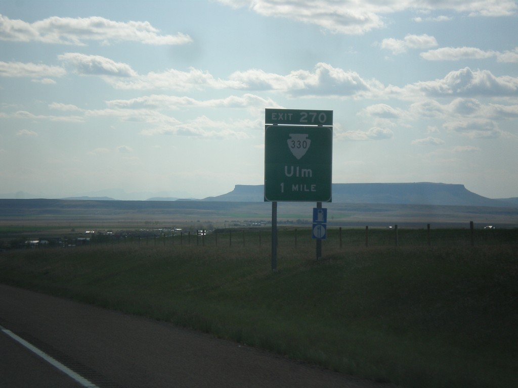
I-15 South - Exit 270
I-15 south approaching Exit 270 - MTS-330/Ulm.
Taken 05-09-2015
 Great Falls
Cascade County
Montana
United States
Great Falls
Cascade County
Montana
United States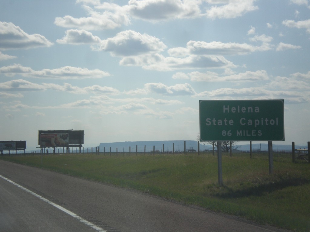
I-15 South - Helena Distance
I-15 South - Helena State Capitol distance. A similar sign is posted on I-15 leaving Butte.
Taken 05-09-2015
Great Falls
Cascade County
Montana
United States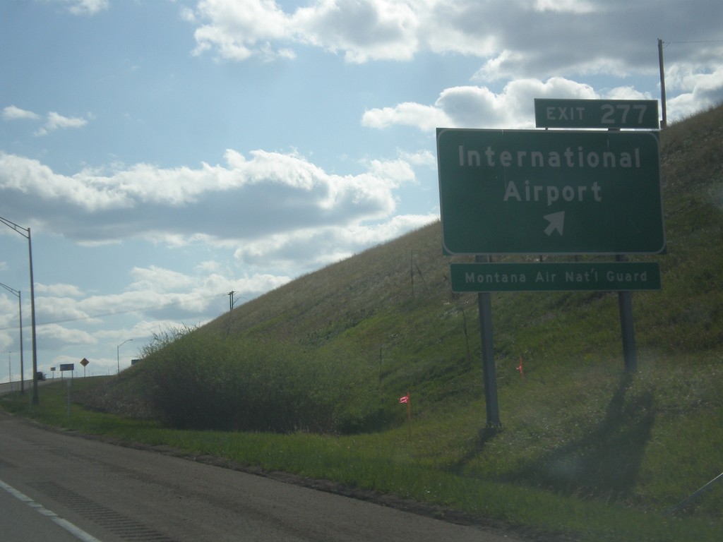
I-15 South - Exit 277
I-15 south at Exit 277 - International Airport. Use Exit 277 for the Montana Air National Guard.
Taken 05-09-2015
Great Falls
Cascade County
Montana
United States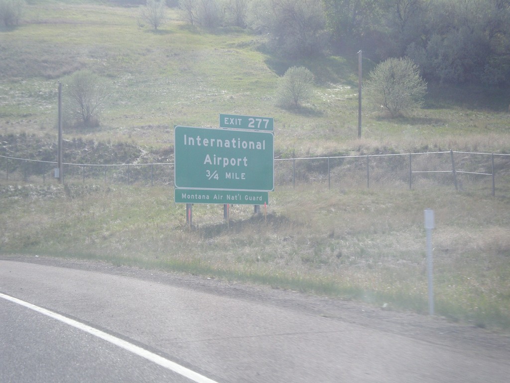
MT-3 Onramp onto I-15 North - Exit 277
MT-3 Onramp onto I-15 North approaching Exit 277 - International Airport. Use Exit 277 for Montana Air National Guard. This is the west end of MT-3.
Taken 05-09-2015
 Great Falls
Cascade County
Montana
United States
Great Falls
Cascade County
Montana
United States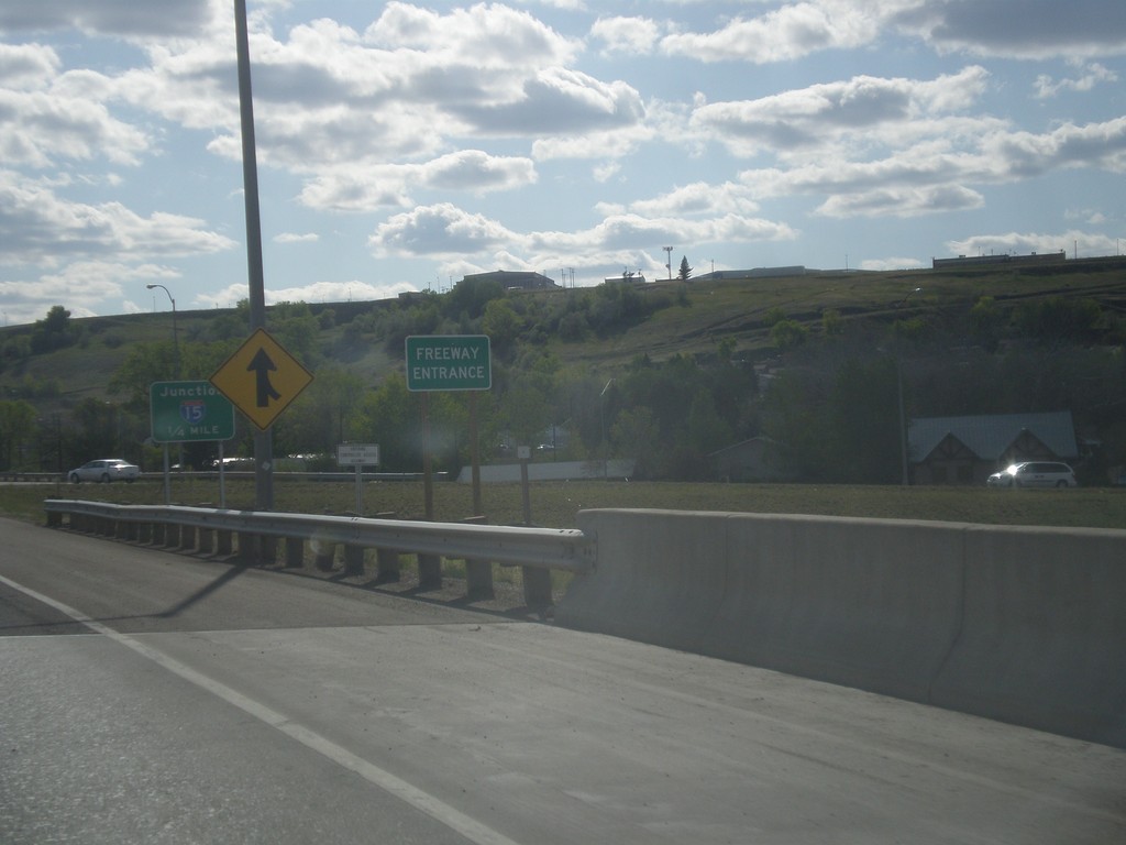
US-89 North/MT-3/MT-200 West - Freeway Entrance
Freeway Entrance on US-89 North/MT-3/MT-200 West in Great Falls.
Taken 05-09-2015

 Great Falls
Cascade County
Montana
United States
Great Falls
Cascade County
Montana
United States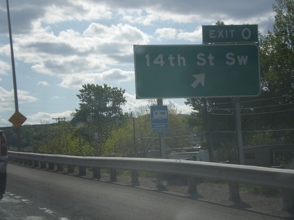
US-89 North/MT-3/MT-200 West - Exit 0
US-89 North/MT-3/MT-200 West at Exit 0 - 14th St. SW.
Taken 05-09-2015
Great Falls
Cascade County
Montana
United States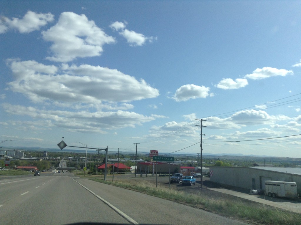
US-87 South - Black Eagle
Entering Black Eagle on US-87 south. Black Eagle is an unincorporated community on the north side of Great Falls. The city in the back ground is Great Falls proper.
Taken 05-09-2015
 Black Eagle
Cascade County
Montana
United States
Black Eagle
Cascade County
Montana
United States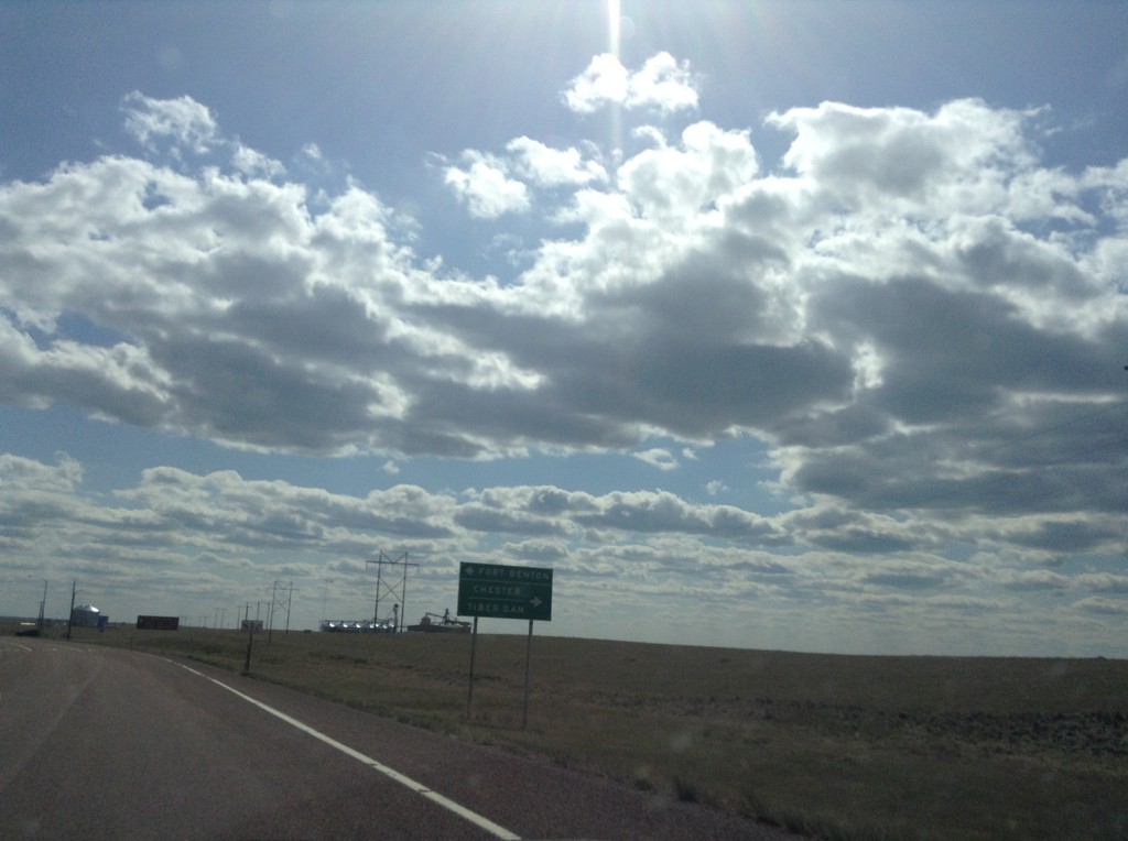
US-87 South at MT-80 and MTS-223
US-87 South at MT-80 and MTS-223. Use MT-80 for Fort Benton; use MTS-223 for Chester and Tiber Dam.
Taken 05-09-2015

 Fort Benton
Chouteau County
Montana
United States
Fort Benton
Chouteau County
Montana
United States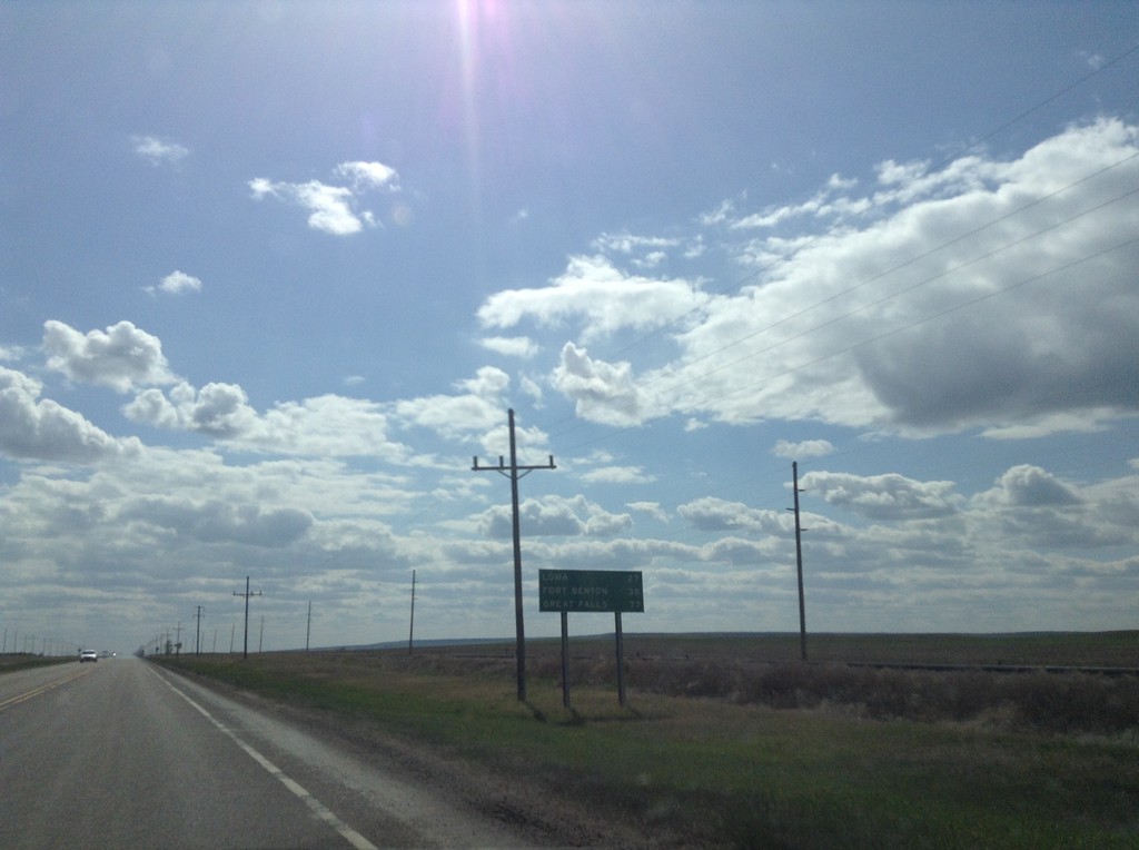
US-87 South - Distance Marker
Distance marker on US-87 south. Distance to Loma, Fort Benton, and Great Falls.
Taken 05-09-2015
Big Sandy
Chouteau County
Montana
United States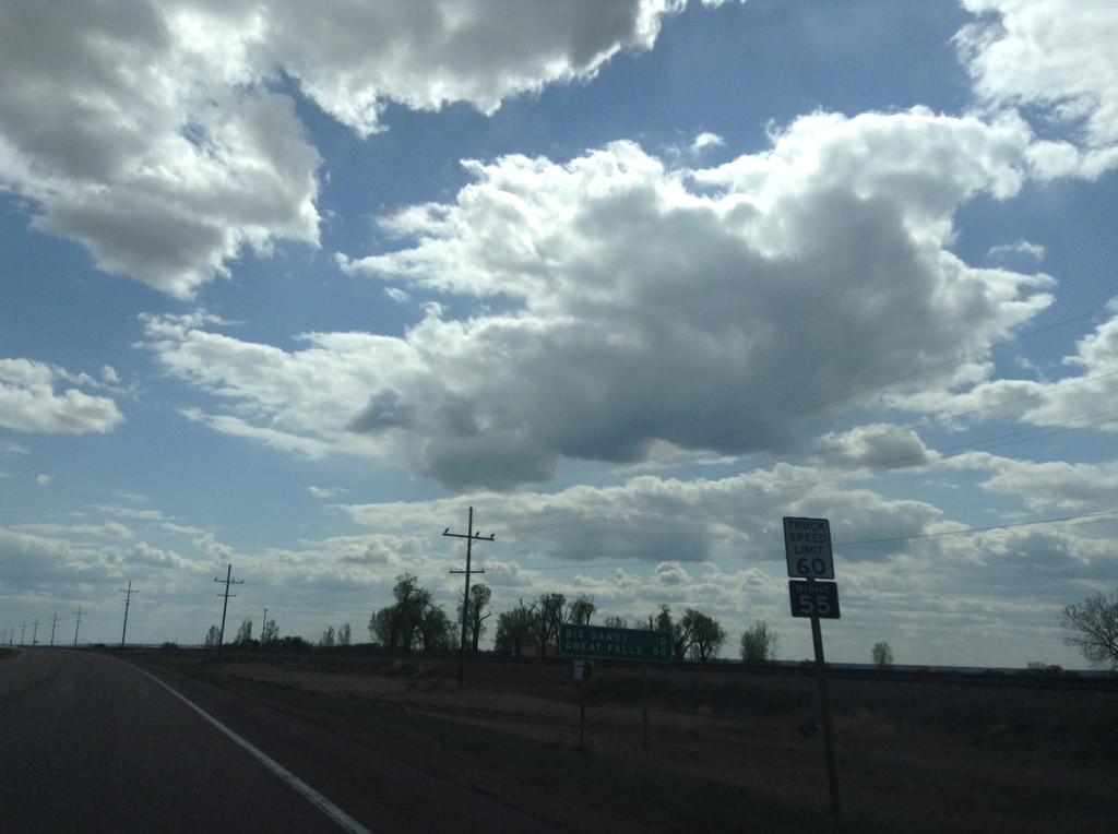
US-87 South - Distance Marker
Distance marker on US-87 south. Distance to Big Sandy and Great Falls. Truck Speed Limit - 60 MPH/Truck Night Speed Limit - 55 MPH.
Taken 05-09-2015
Box Elder
Hill County
Montana
United States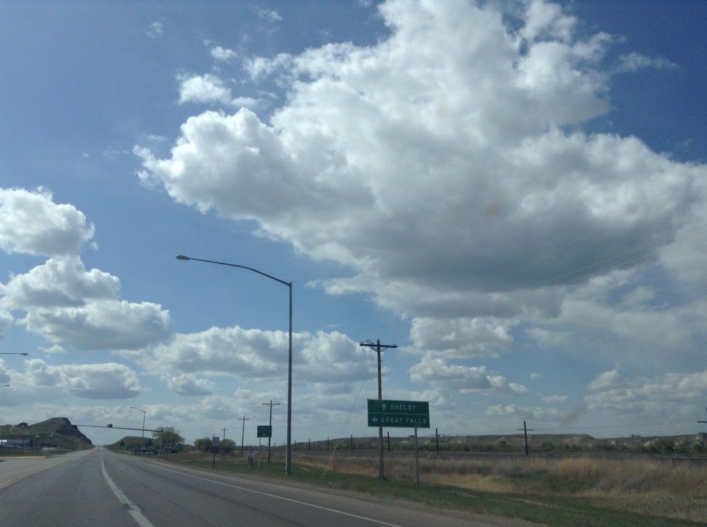
US-2 West at US-87 South
US-2 west approaching US-87 south. Use US-87 south for Great Falls; continue west on US-2 for Shelby.
Taken 05-09-2015
 Havre
Hill County
Montana
United States
Havre
Hill County
Montana
United States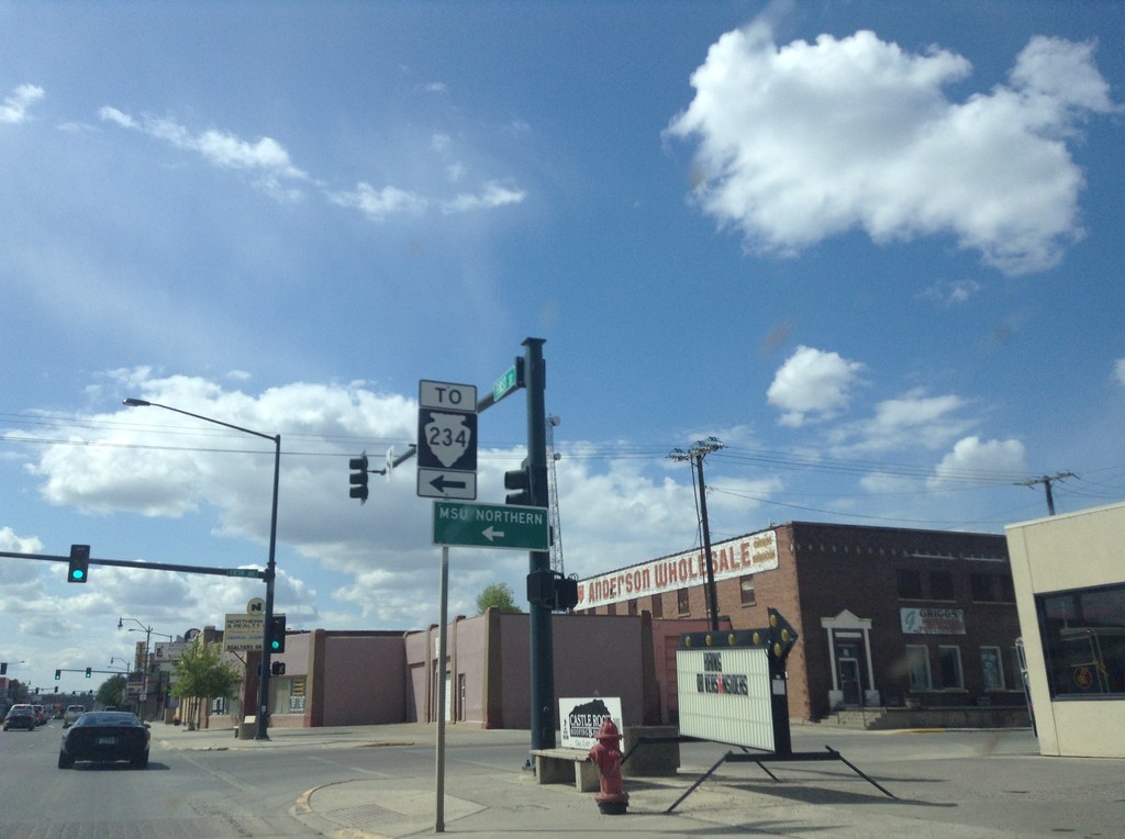
US-2 West at MTS-234 South
US-2 West at MTS-234 South to the MSU Northern campus.
Taken 05-09-2015
 Havre
Hill County
Montana
United States
Havre
Hill County
Montana
United States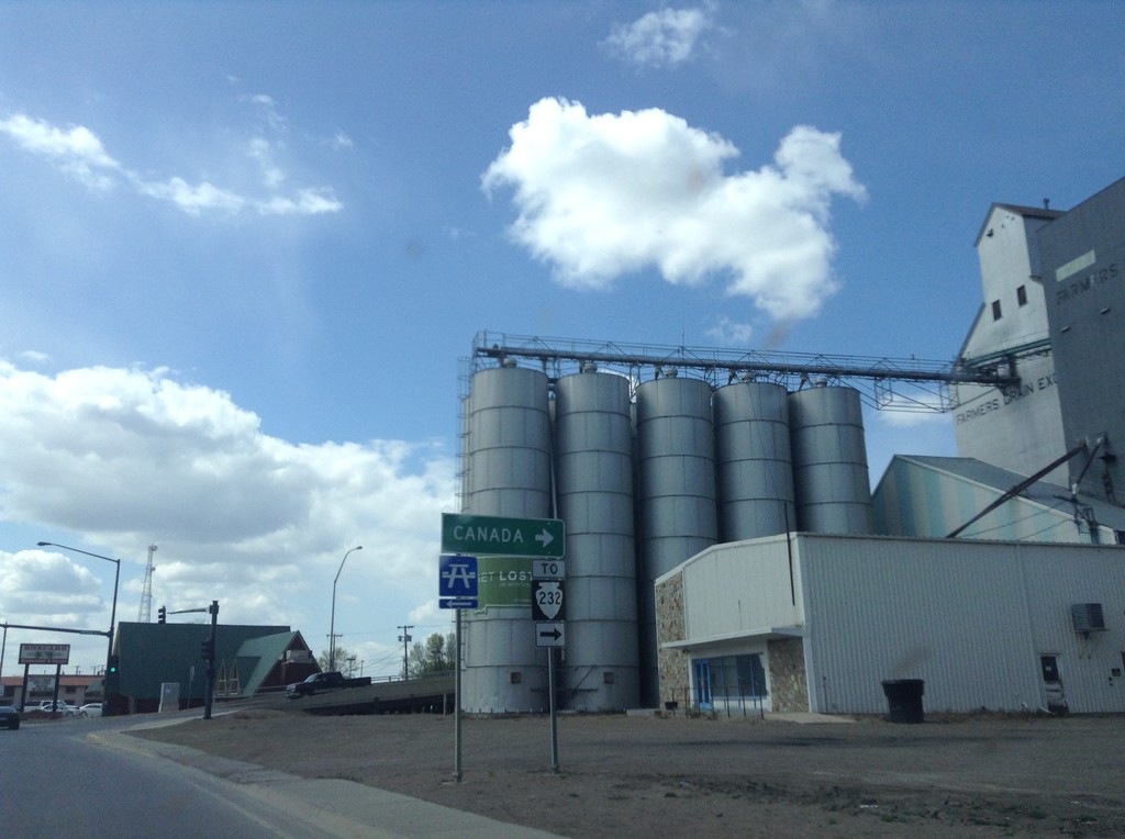
US-2 West at MTS-232
US-2 west at MTS-232 north to Canada.
Taken 05-09-2015
 Havre
Hill County
Montana
United States
Havre
Hill County
Montana
United States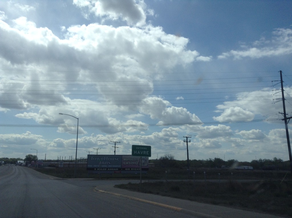
US-2 West - Entering Havre
Entering Havre on US-2 west. Havre is the county seat of Hill County, and the 8th largest city in Montana (as of 2015). Is the largest city on the hi-line in Montana.
Taken 05-09-2015
Havre
Hill County
Montana
United States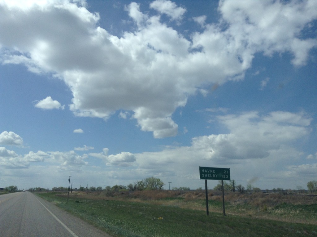
US-2 West - Distance Marker
Distance marker on US-2 west. Distance to Havre, and Shelby.
Taken 05-09-2015
Chinook
Blaine County
Montana
United States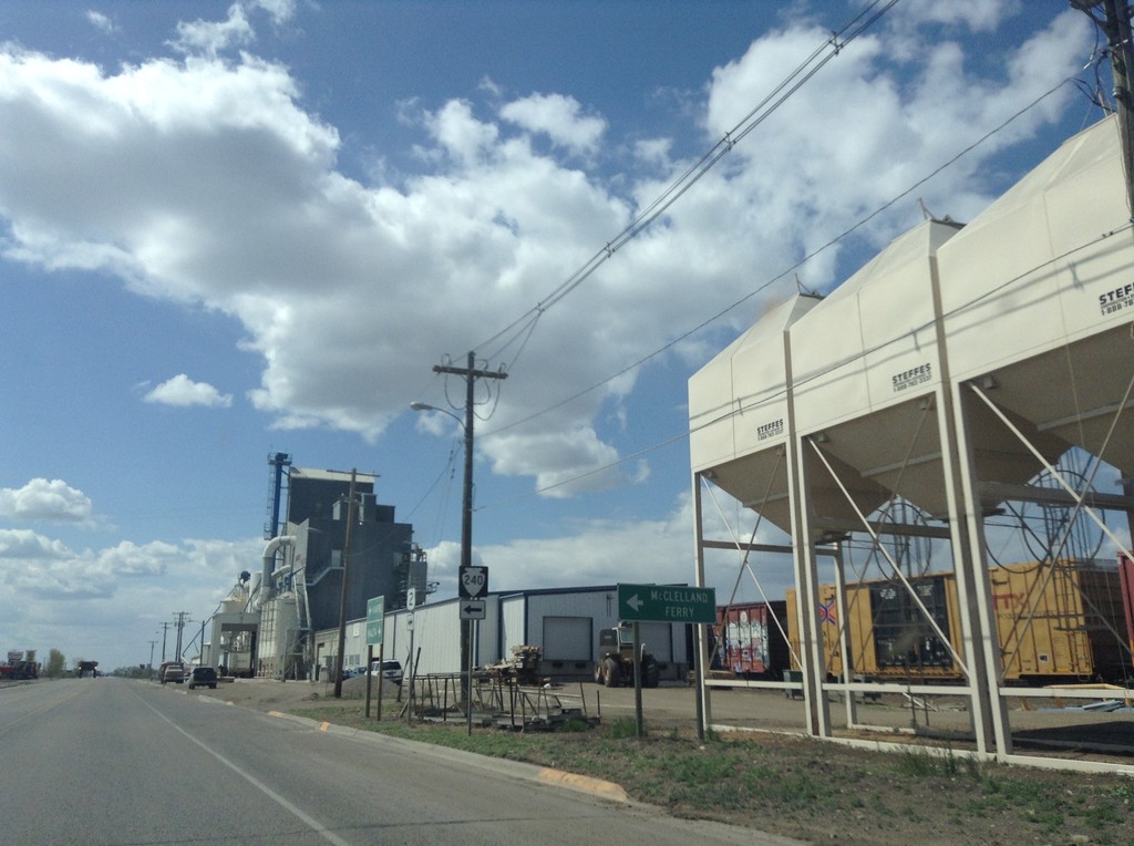
US-2 West at MTS-240 South
US-2 West at MTS-240 South to McClelland Ferry. The McClelland Ferry crosses the Missouri River south of Chinook.
Taken 05-09-2015
 Chinook
Blaine County
Montana
United States
Chinook
Blaine County
Montana
United States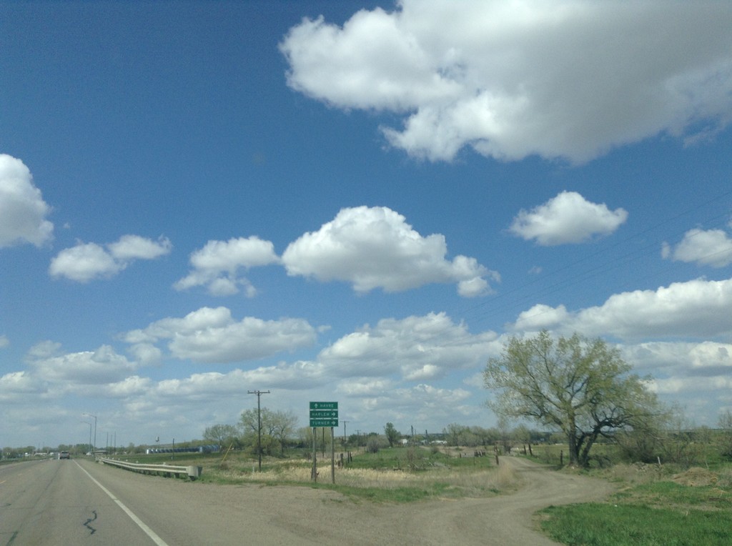
US-2 West Approaching MTS-241
US-2 west approaching MTS-241 north to Harlem and Turner. Continue west on US-2 for Havre.
Taken 05-09-2015
 Harlem
Blaine County
Montana
United States
Harlem
Blaine County
Montana
United States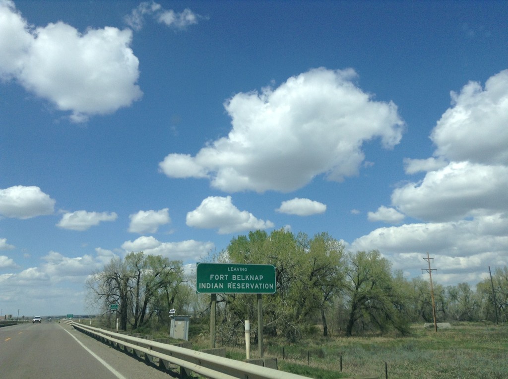
US-2 West - Leaving Fort Belknap Indian Reservation
Leaving Fort Belknap Indian Reservation on US-2 west.
Taken 05-09-2015
Harlem
Blaine County
Montana
United States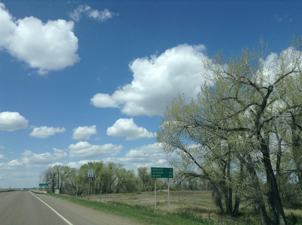
US-2 West - Distance Marker
Distance marker on US-2 west. Distance to Harlem, Chinook, and Havre.
Taken 05-09-2015
Harlem
Blaine County
Montana
United States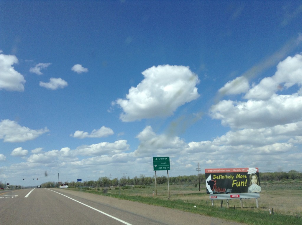
US-2 West Approaching MT-66
US-2 west approaching MT-66. Turn left on MT-66 south for Hays and Jct. US-191. Continue west on US-2 for Chinook.
Taken 05-09-2015
 Harlem
Blaine County
Montana
United States
Harlem
Blaine County
Montana
United States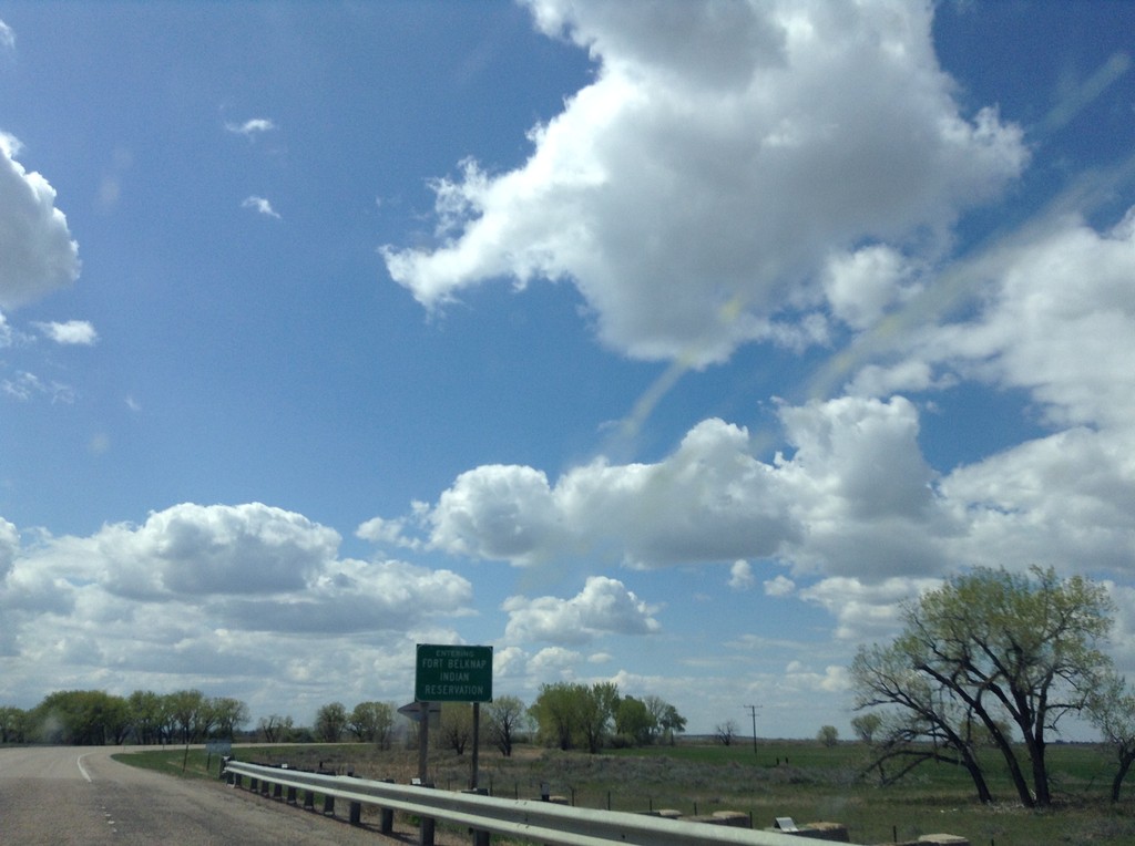
US-2 West - Entering Fort Belknap Indian Reservation
Entering Fort Belknap Indian Reservation on US-2 west.
Taken 05-09-2015
Dodson
Phillips County
Montana
United States