Signs Tagged With Big Green Sign
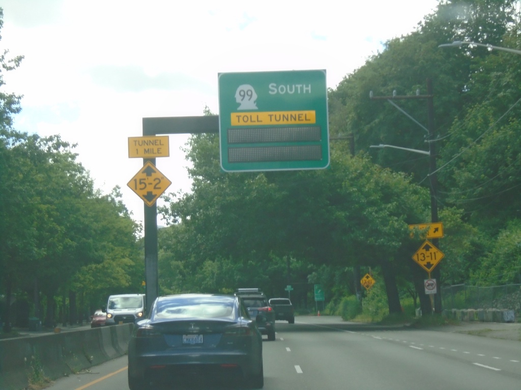
WA-99 South Approaching Toll Tunnel
WA-99 South approaching Toll Tunnel in Seattle.
Taken 06-15-2024
 Seattle
King County
Washington
United States
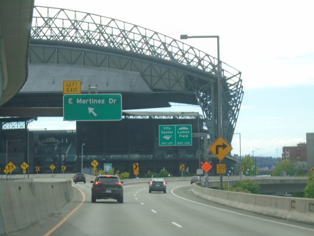
End I-90 West at Martinez Drive Interchange
End I-90 West at E. Martinez Drive Interchange. Right lanes continue to 4th St., City Center, and Lumen Field. T-Mobile Park, home of the Seattle Mariners baseball team is in the background.
Taken 06-13-2024
 Seattle
King County
Washington
United States
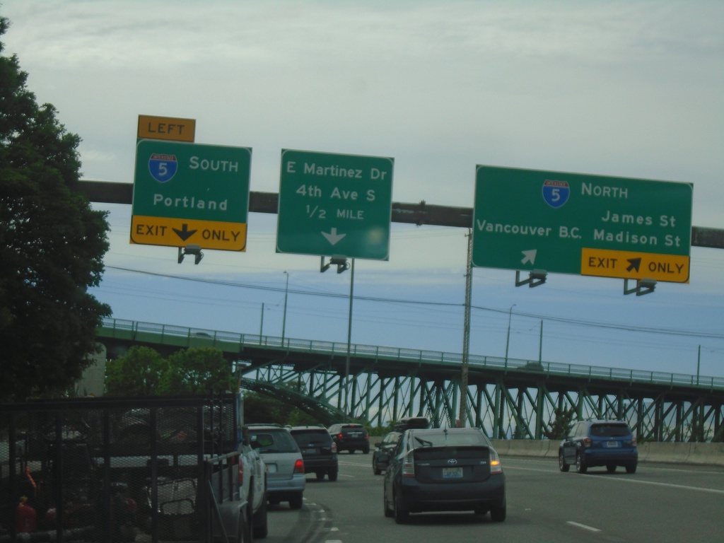
I-90 West at I-5
I-90 West at I-5. Use left lane for I-5 South/Portland (OR). Right lanes for I-5 North/Vancouver BC/James St./Madison St. Continue straight for E. Martinez St./4th Ave. South.
Taken 06-13-2024

 Seattle
King County
Washington
United States
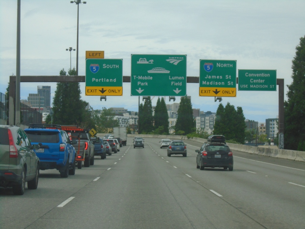
I-90 West Approaching I-5
I-90 West approaching I-5. Use I-5 south to Portland (Oregon). Use I-5 north to James St./Madison St. Continue straight for T-Mobile Park and Lumen Park. For Convention Center use I-5 south to Madison St.
Taken 06-13-2024

 Seattle
King County
Washington
United States
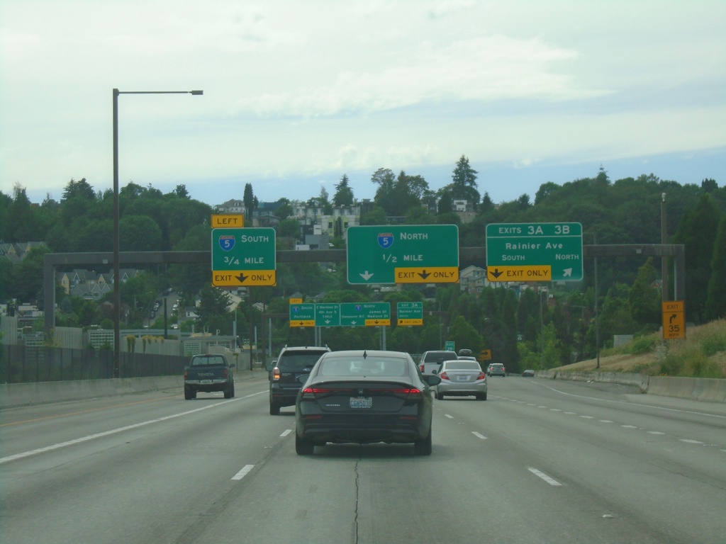
I-90 West - Exits 3A-B and I-5
I-90 West at Exits 3A-B - Rainier Ave. Approaching I-5 junction. The I-5 interchange does not have an exit number listed on this sign assembly.
Taken 06-13-2024

 Seattle
King County
Washington
United States
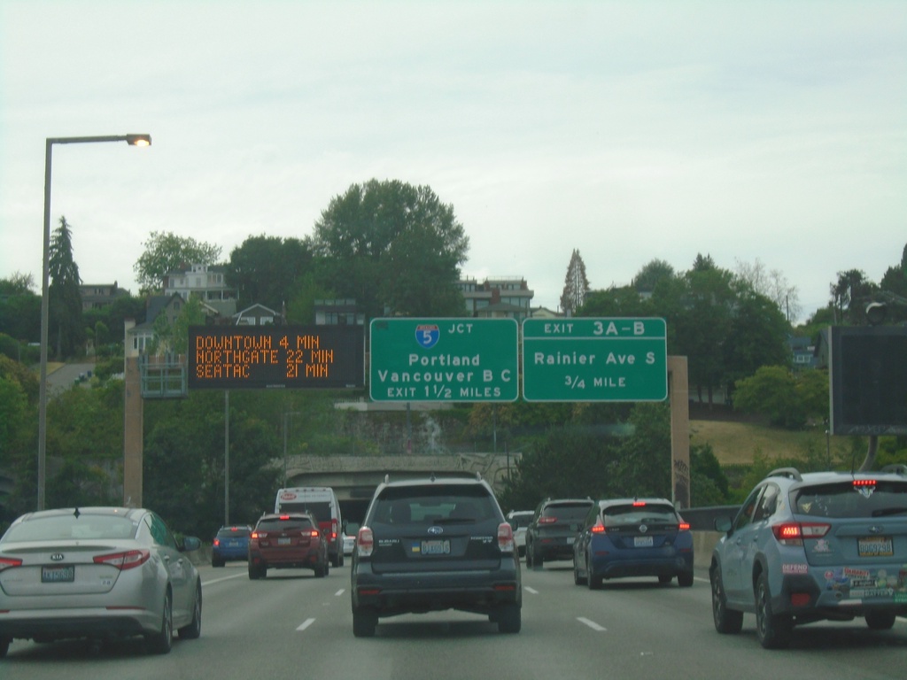
I-90 West - Exits 3A-B and I-5
I-90 West - Exits 3A-B and I-5. Use Exit 3A-B for Rainier Ave. South. Approaching I-5/Portland (Oregon)/Vancouver, BC (Canada). Electronic travel time sign showing distance to Downtown, Northgate, and SeaTac. Approaching Mount Baker Ridge Tunnel.
Taken 06-13-2024

 Seattle
King County
Washington
United States
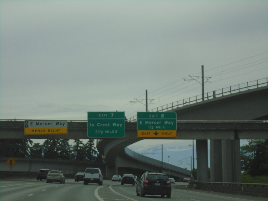
I-90 West - Exits 8 and 7
I-90 west at Exit 8 - East Mercer Way. Approaching Exit 7 - Island Crest Way. Left lane approaching HOV exit to East Mercer Way.
Taken 06-13-2024
 Bellevue
King County
Washington
United States
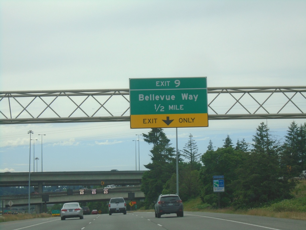
I-90 West - Exit 9
I-90 west approaching Exit 9 - Bellevue Way.
Taken 06-13-2024
 Bellevue
King County
Washington
United States
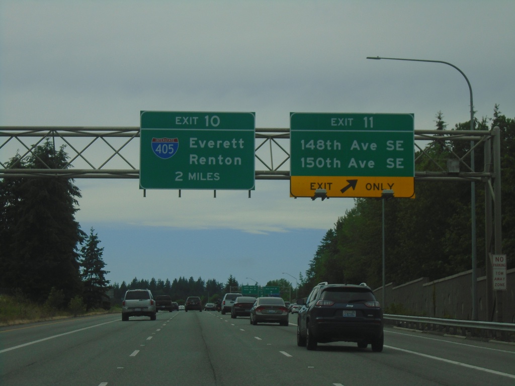
I-90 West - Exits 11 and 10
I-90 west at Exit 11 - 148th Ave. SE/150th Ave. SE. Approaching Exit 10 - I-405/Everett/Renton.
Taken 06-13-2024

 Bellevue
King County
Washington
United States
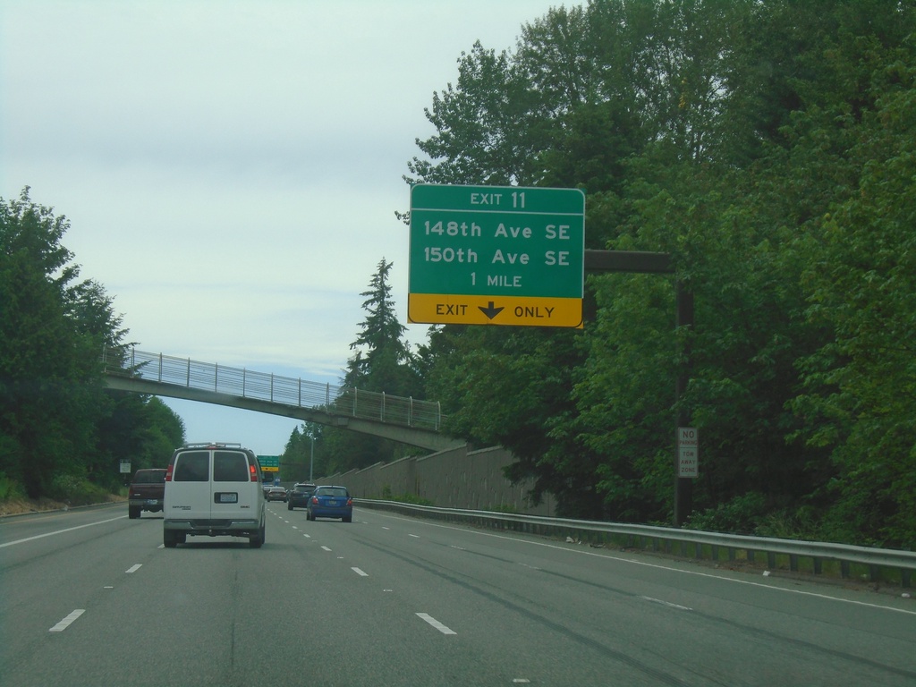
I-90 West - Exit 11
I-90 west approaching Exit 11 - 148th Ave SE/150th Ave SE
Taken 06-13-2024
 Bellevue
King County
Washington
United States
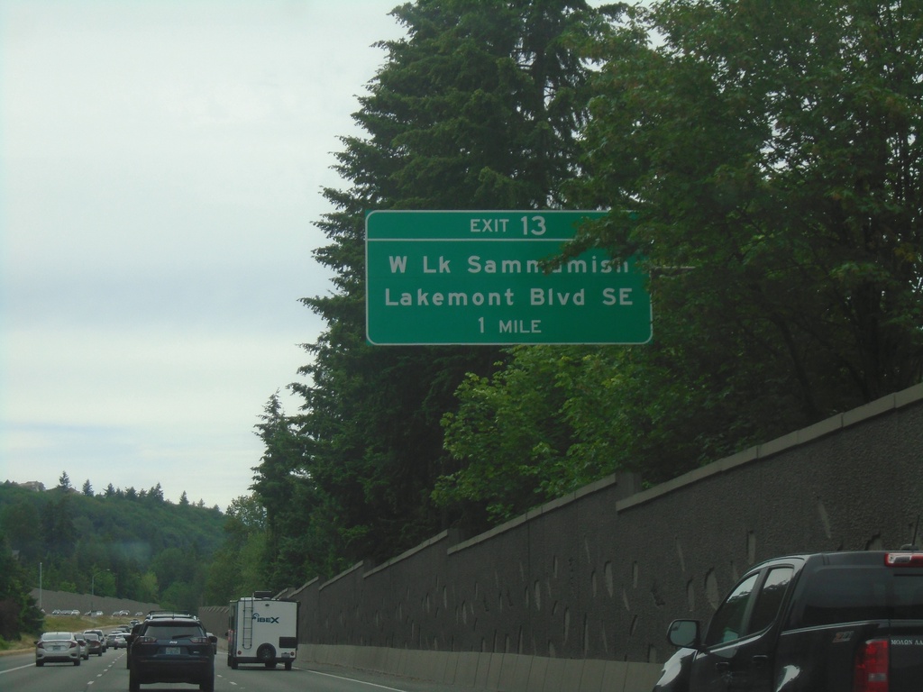
I-90 West - Exit 13
I-90 west approaching Exit 13 - West Lake Sammamish/Lakemont Blvd. SE
Taken 06-13-2024
 Issaquah
King County
Washington
United States
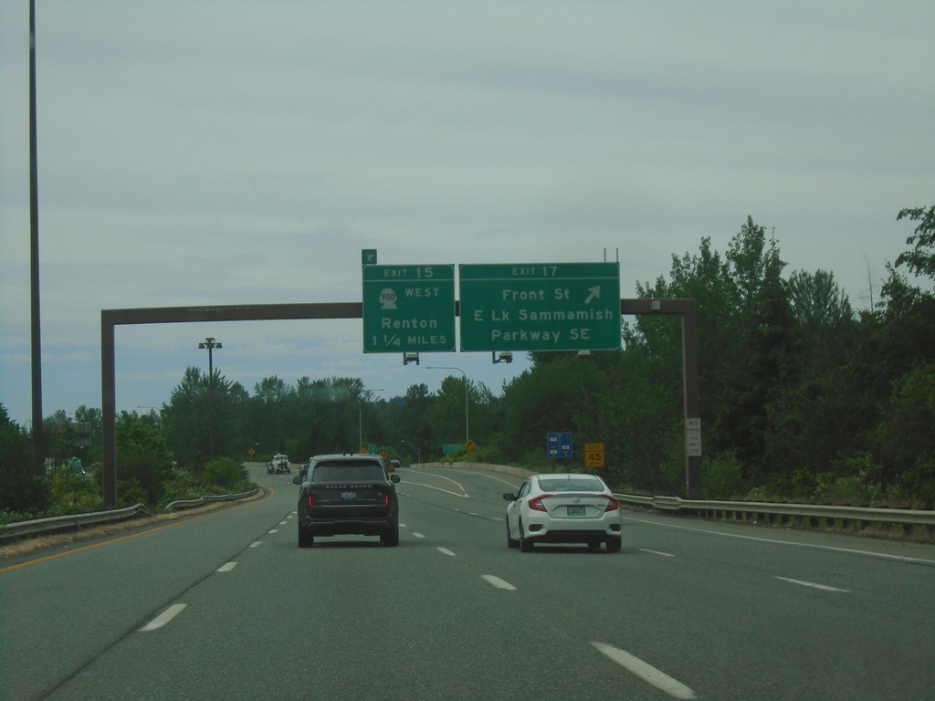
I-90 West - Exits 17 and 15
I-90 west at Exit 17 - Front St./East Lake Sammamish Parkway SE. Approaching Exit 15 - WA-900 West/Renton.
Taken 06-13-2024

 Issaquah
King County
Washington
United States
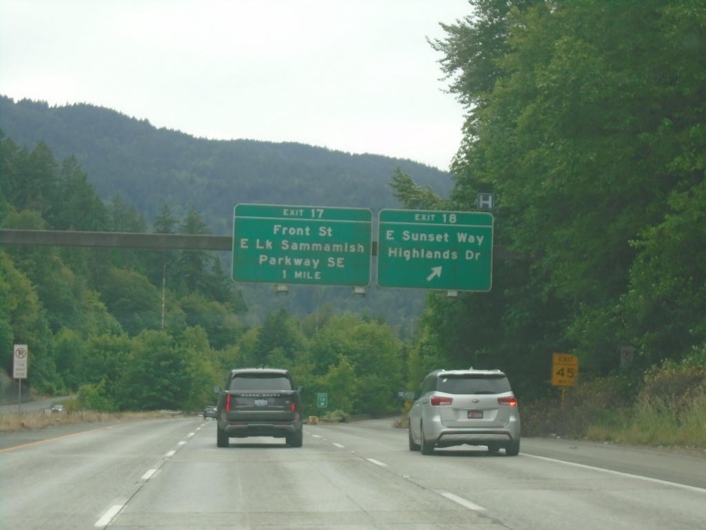
I-90 West - Exits 18 and 17
I-90 west at Exit 18 - East Sunset Way/Highlands Drive. Approaching Exit 17 - Front St./East Lake Sammamish Parkway SE
Taken 06-13-2024
 Issaquah
King County
Washington
United States
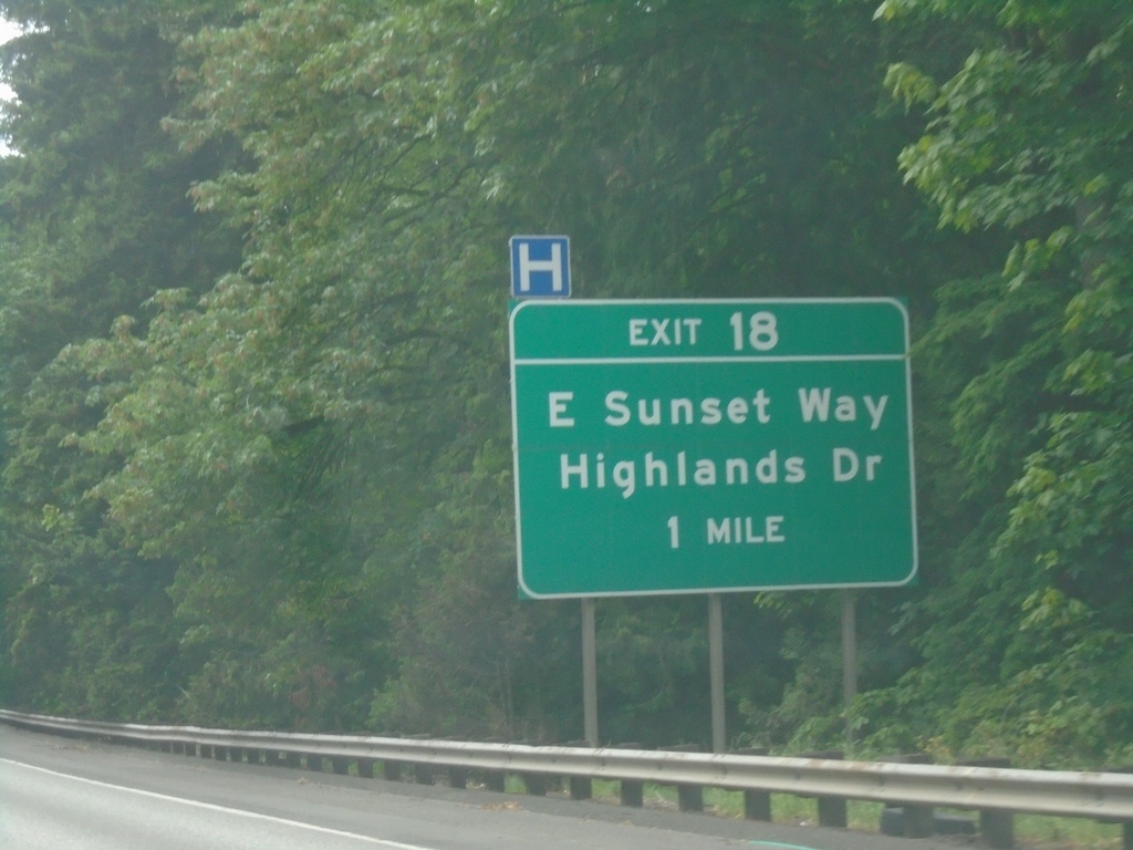
I-90 West - Exit 18
I-90 west approaching Exit 18 - East Sunset Way/Highlands Drive.
Taken 06-13-2024
 Issaquah
King County
Washington
United States
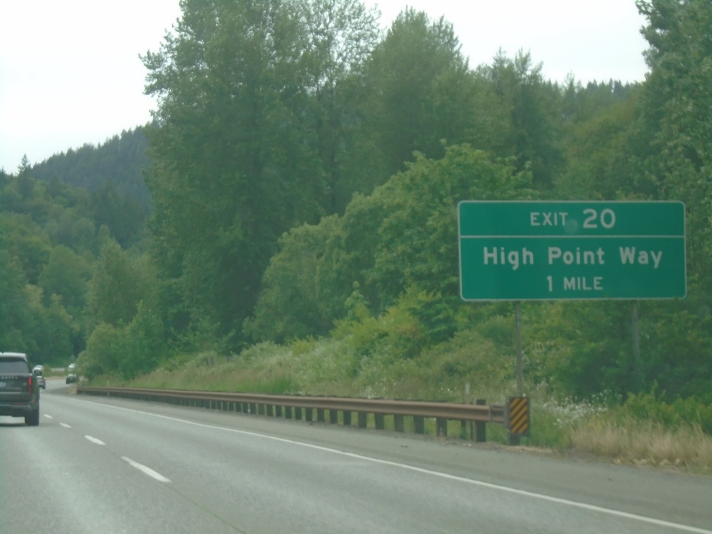
I-90 West - Exit 20
I-90 west approaching Exit 20 - High Point Way.
Taken 06-13-2024
 Issaquah
King County
Washington
United States
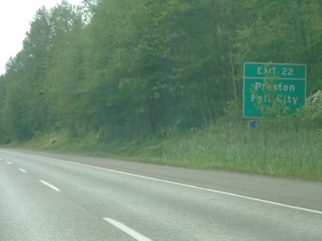
I-90 West - Exit 22
I-90 west approaching Exit 22 - Preston/Fall City.
Taken 06-13-2024
 Issaquah
King County
Washington
United States
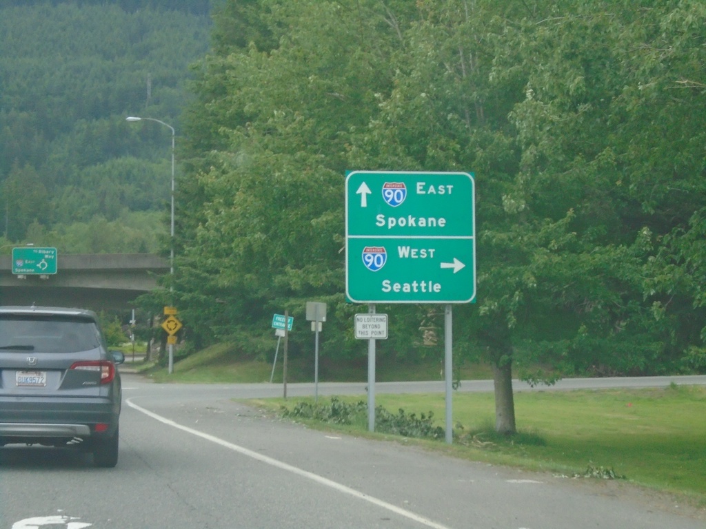
WA-202 East at I-90 Junction
WA-202 East at I-90 Junction. Use I-90 west to Seattle; I-90 east to Spokane.
Taken 06-13-2024

 North Bend
King County
Washington
United States
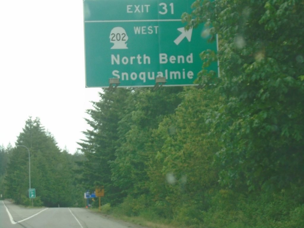
I-90 West - Exit 31
I-90 west at Exit 31 - WA-202 West/North Bend/Snoqualmie
Taken 06-13-2024

 North Bend
King County
Washington
United States
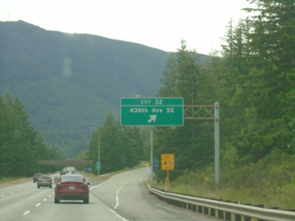
I-90 West - Exit 32
I-90 west at Exit 32 - 436th Ave. SE
Taken 06-13-2024
 North Bend
King County
Washington
United States
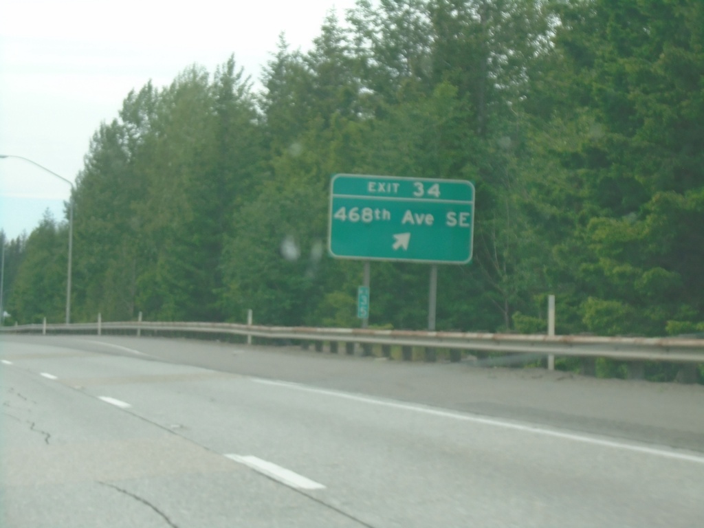
I-90 West - Exit 34
I-90 west at Exit 34 - 468th Ave SE
Taken 06-13-2024
 North Bend
King County
Washington
United States
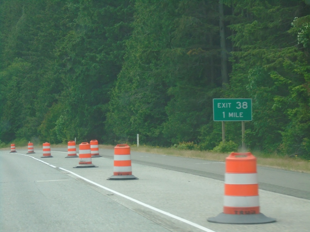
I-90 West - Exit 38
I-90 west approaching Exit 38
Taken 06-13-2024
 North Bend
King County
Washington
United States
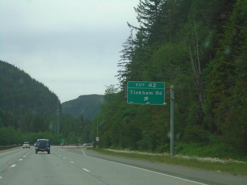
I-90 West - Exit 42
I-90 west at Exit 42 - Tinkham Road.
Taken 06-13-2024
 Garcia
King County
Washington
United States
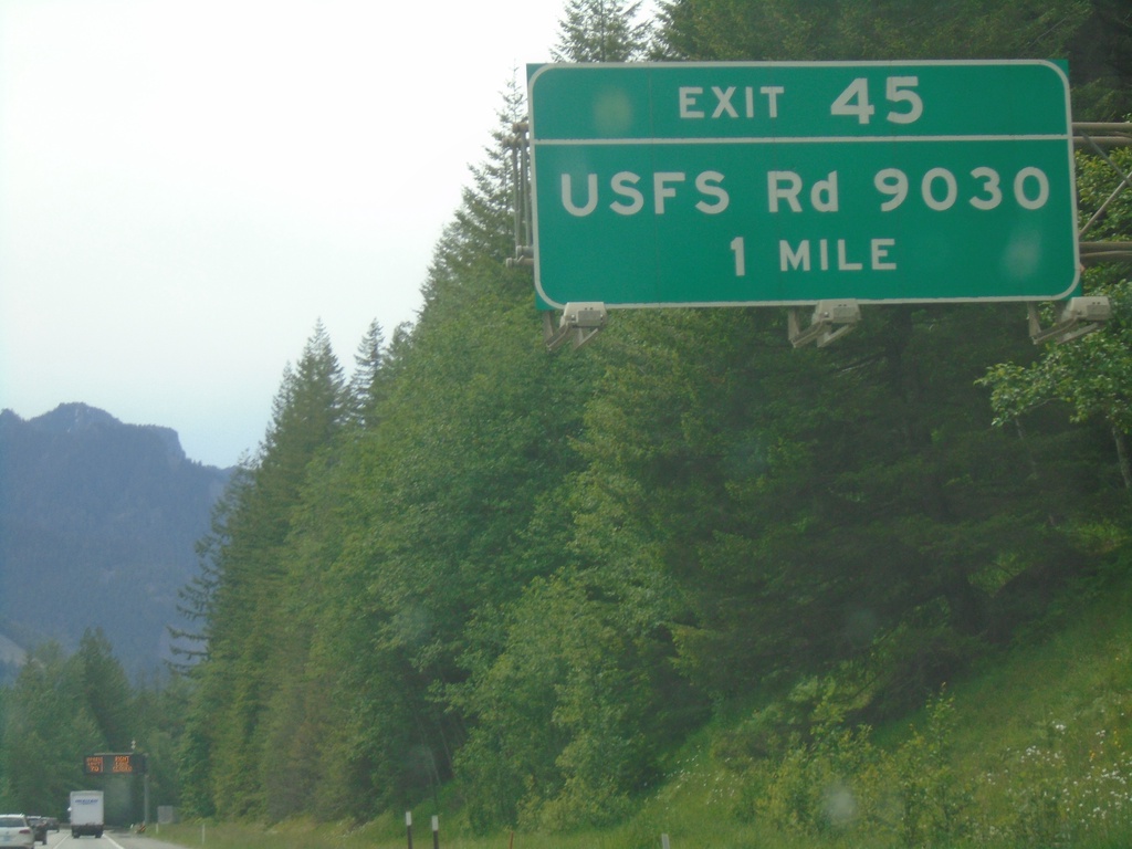
I-90 West - Exit 45
I-90 west approaching Exit 45 - USFS Road 9030
Taken 06-13-2024
 North Bend
King County
Washington
United States
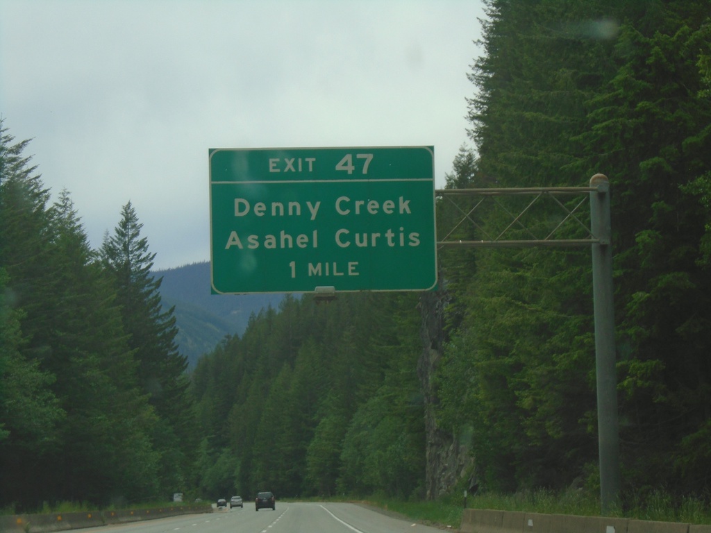
I-90 West - Exit 47
I-90 west approaching Exit 47 - Denny Creek/Asahel Curtis.
Taken 06-13-2024
 North Bend
King County
Washington
United States
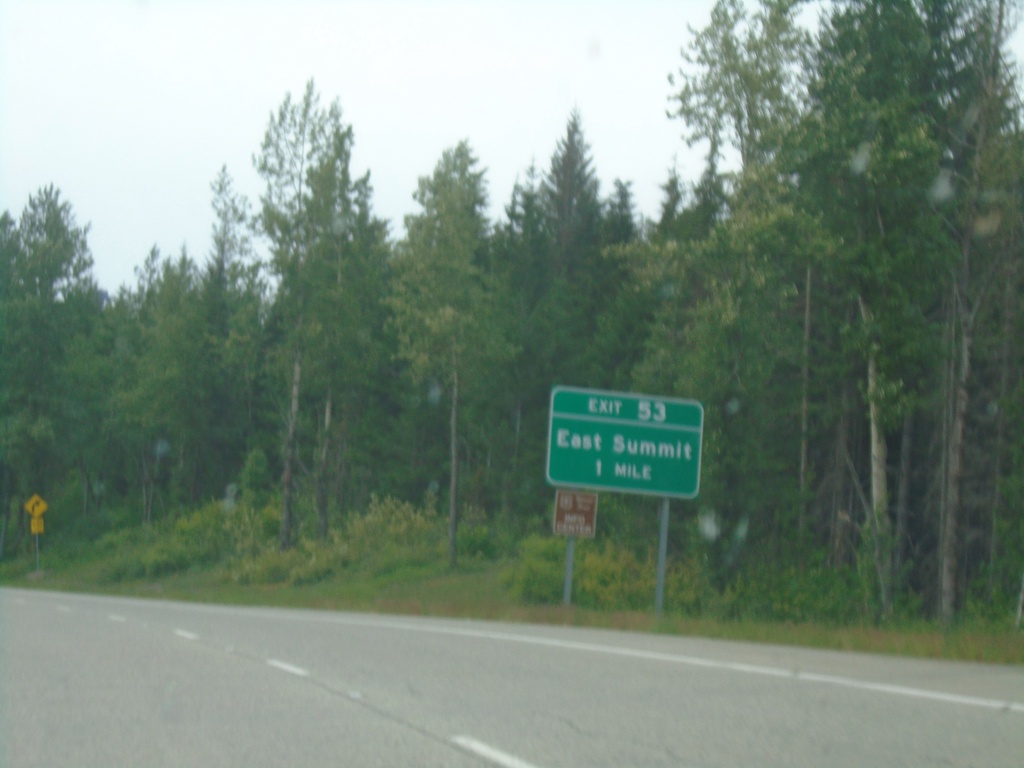
I-90 West - Exit 53
I-90 west approaching Exit 53 - East Summit. This is the last exit westbound on I-90 before Snoqualmie Pass.
Taken 06-13-2024
 Snoqualmie Pass
Kittitas County
Washington
United States