Signs Tagged With Big Green Sign
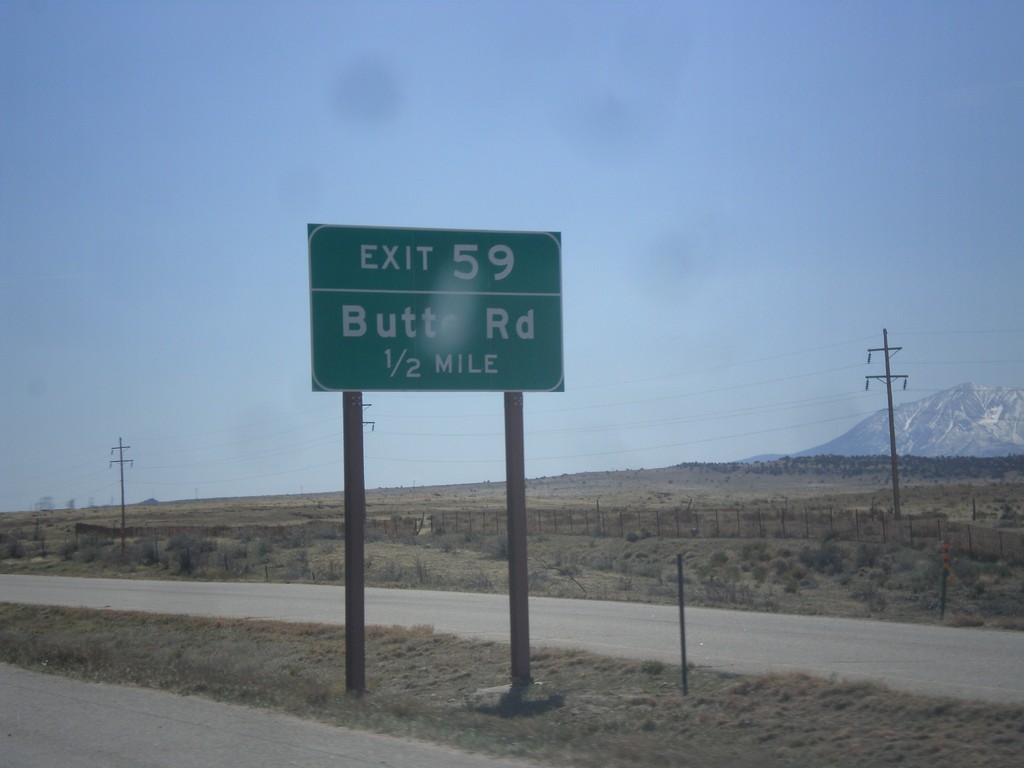
I-25 South - Exit 59
I-25 south approaching Exit 59 - Butte Road.
Taken 03-29-2014

 Walsenburg
Huerfano County
Colorado
United States
Walsenburg
Huerfano County
Colorado
United States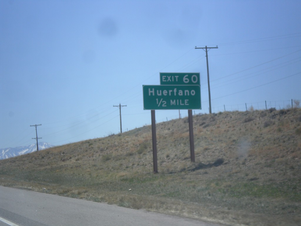
I-25 South - Exit 60
I-25 south approaching Exit 60 - Huerfano.
Taken 03-29-2014
Rye
Huerfano County
Colorado
United States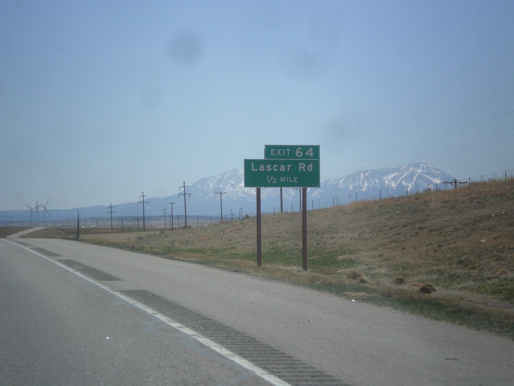
I-25 South - Exit 64
I-25 south approaching Exit 64 - Lascar Road. The Spanish Peaks are in the background.
Taken 03-29-2014
Rye
Huerfano County
Colorado
United States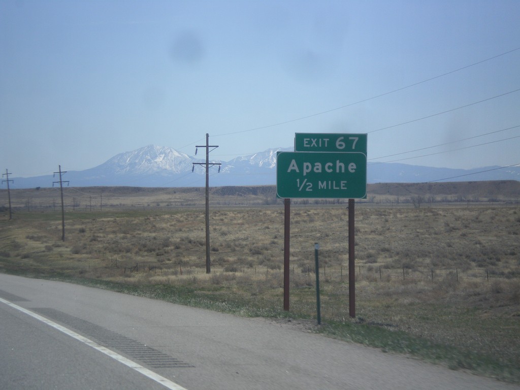
I-25 South - Exit 67
I-25 south approaching Exit 67 - Apache. The Spanish Peaks are in the background.
Taken 03-29-2014
Rye
Huerfano County
Colorado
United States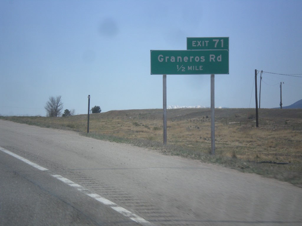
I-25 South - Exit 71
I-25 south approaching Exit 71 - Graneros Road.
Taken 03-29-2014
Pueblo
Pueblo County
Colorado
United States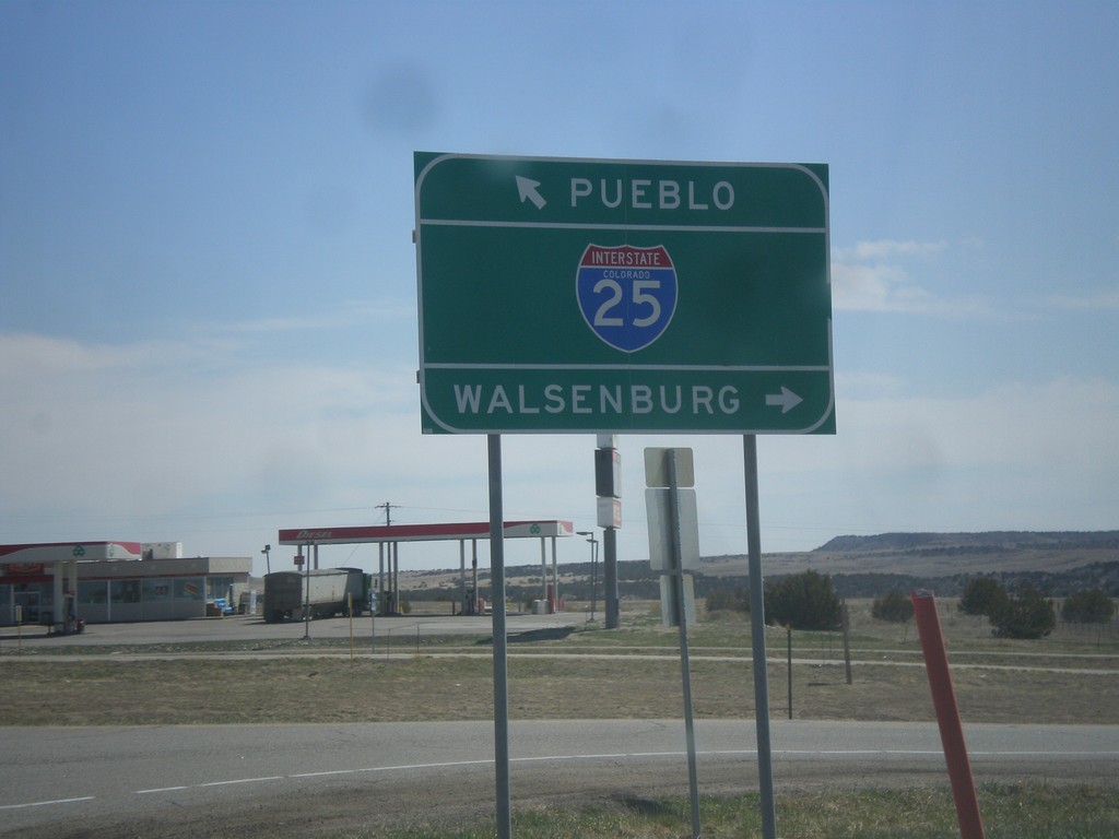
End CO-165 East at I-25
End CO-165 East at I-25. Use I-25 south for Walsenburg; I-25 north for Pueblo.
Taken 03-29-2014
 Pueblo
 County
Colorado
United States
Pueblo
Pueblo County
Colorado
United States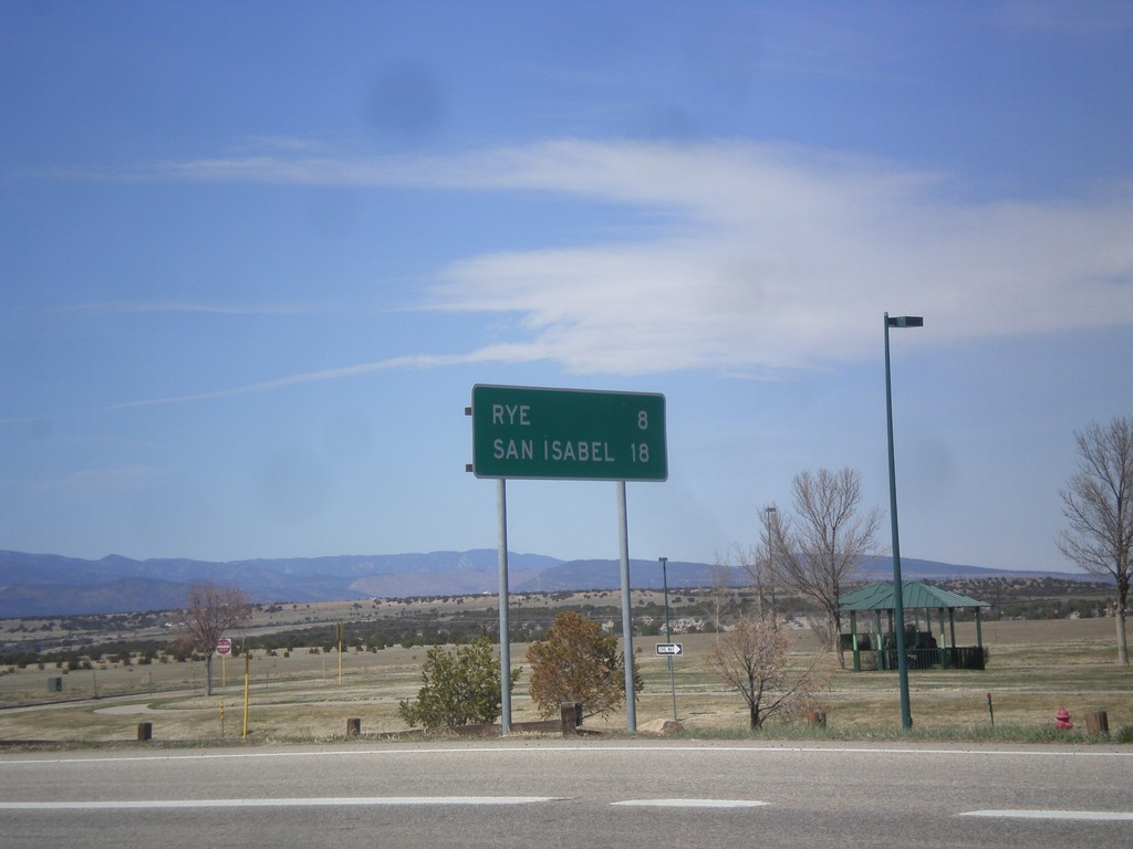
CO-165 West - Distance Marker
Distance marker on CO-165 west. Distance to Rye and San Isabel.
Taken 03-29-2014
Colorado City
Pueblo County
Colorado
United States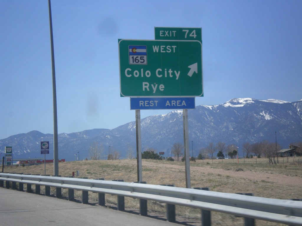
I-25 South - Exit 74
I-25 south at Exit 74 - CO-165/Colorado City/Rye.
Taken 03-29-2014
Pueblo
Pueblo County
Colorado
United States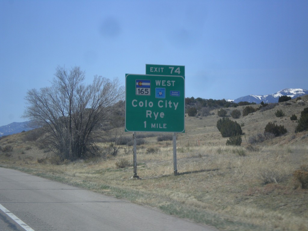
I-25 South Approaching Exit 74
I-25 south approaching Exit 74 - CO-165/Colorado City/Rye. CO-165 is part of the Frontier Pathways Scenic Byway.
Taken 03-29-2014
Pueblo
Pueblo County
Colorado
United States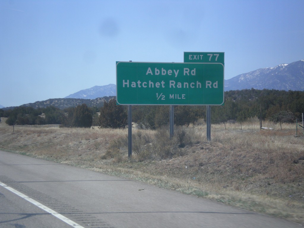
I-25 South - Exit 77
I-25 south approaching Exit 77 - Abbey Road/Hatchet Ranch Road.
Taken 03-29-2014
Pueblo
Pueblo County
Colorado
United States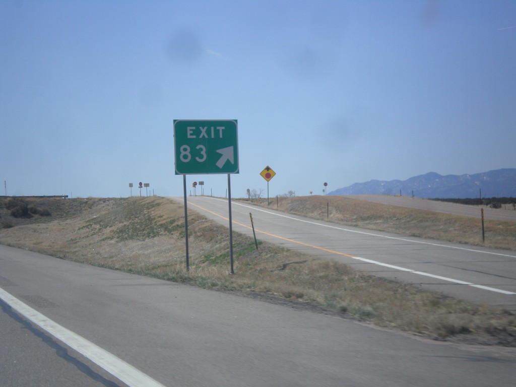
I-25 South - Exit 83
I-25 south at Exit 83 (No Name).
Taken 03-29-2014
Beulah Valley
Pueblo County
Colorado
United States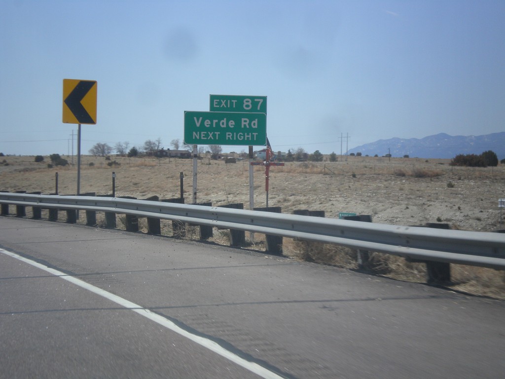
I-25 South - Exit 87
I-25 south approaching Exit 87 - Verde Road.
Taken 03-29-2014
Pueblo
Pueblo County
Colorado
United States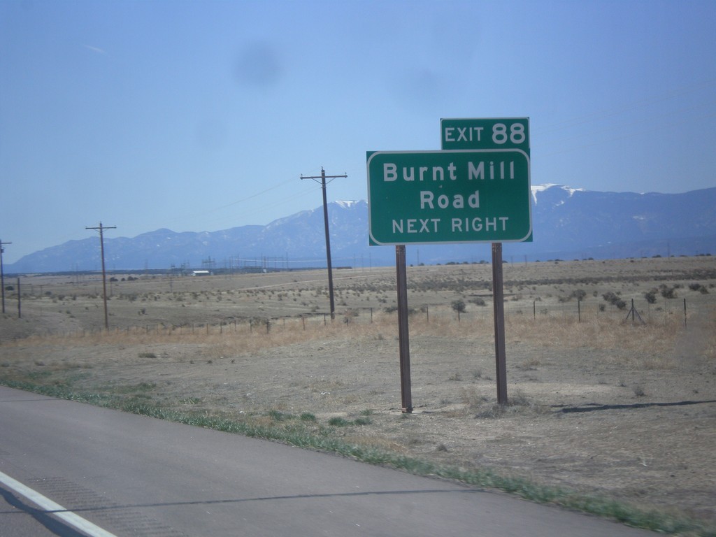
I-25 South - Exit 88
I-25 south at Exit 88 - Burnt Mill Road.
Taken 03-29-2014
Pueblo
Pueblo County
Colorado
United States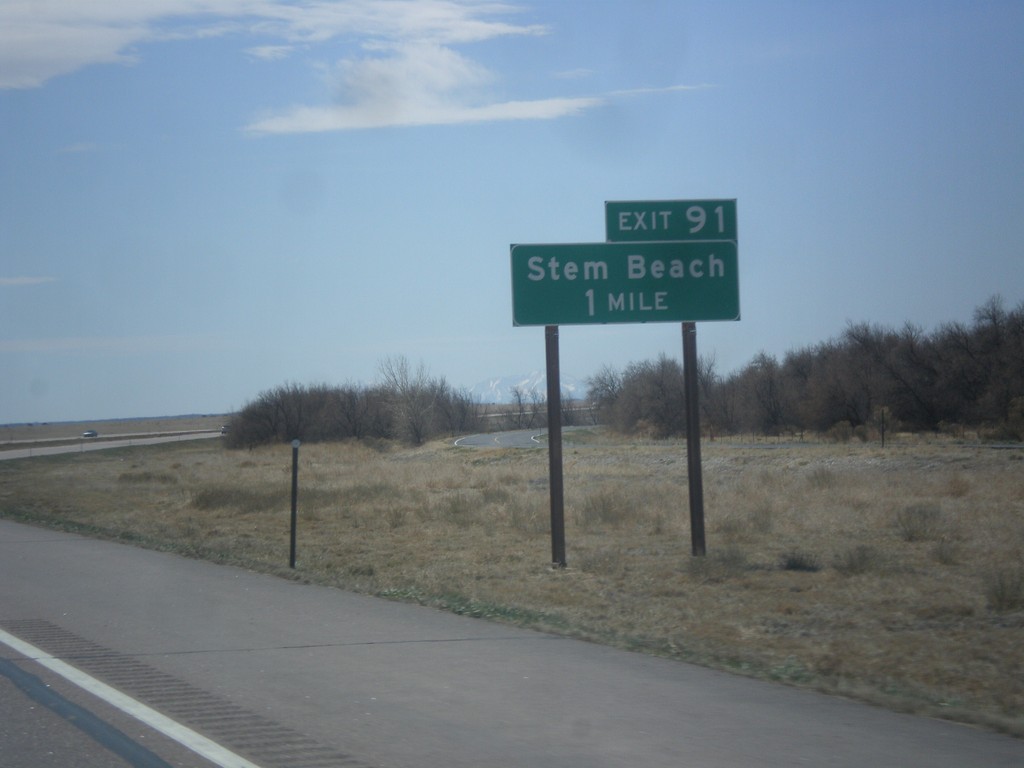
I-25 South - Exit 91
I-25 south at Exit 91 - Stem Beach.
Taken 03-29-2014
Pueblo
Pueblo County
Colorado
United States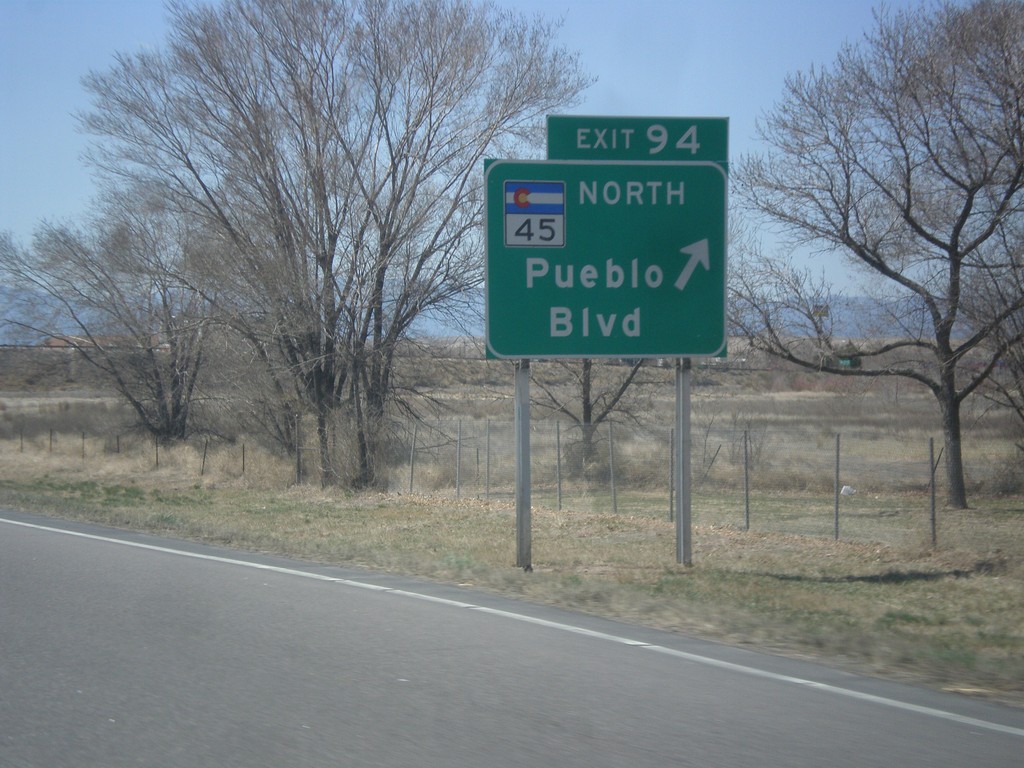
I-25 South - Exit 95
I-25 south at Exit 95 - CO-45 North/Pueblo Blvd. CO-45 is the western beltway around Pueblo.
Taken 03-29-2014
 Pueblo
 County
Colorado
United States
Pueblo
Pueblo County
Colorado
United States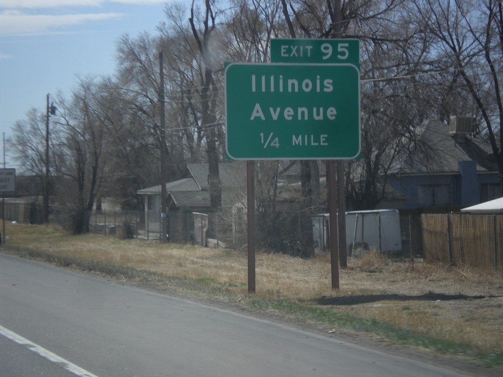
I-25 South - Exit 95
I-25 south approaching Exit 95 - Illinois Ave.
Taken 03-29-2014
Pueblo
Pueblo County
Colorado
United States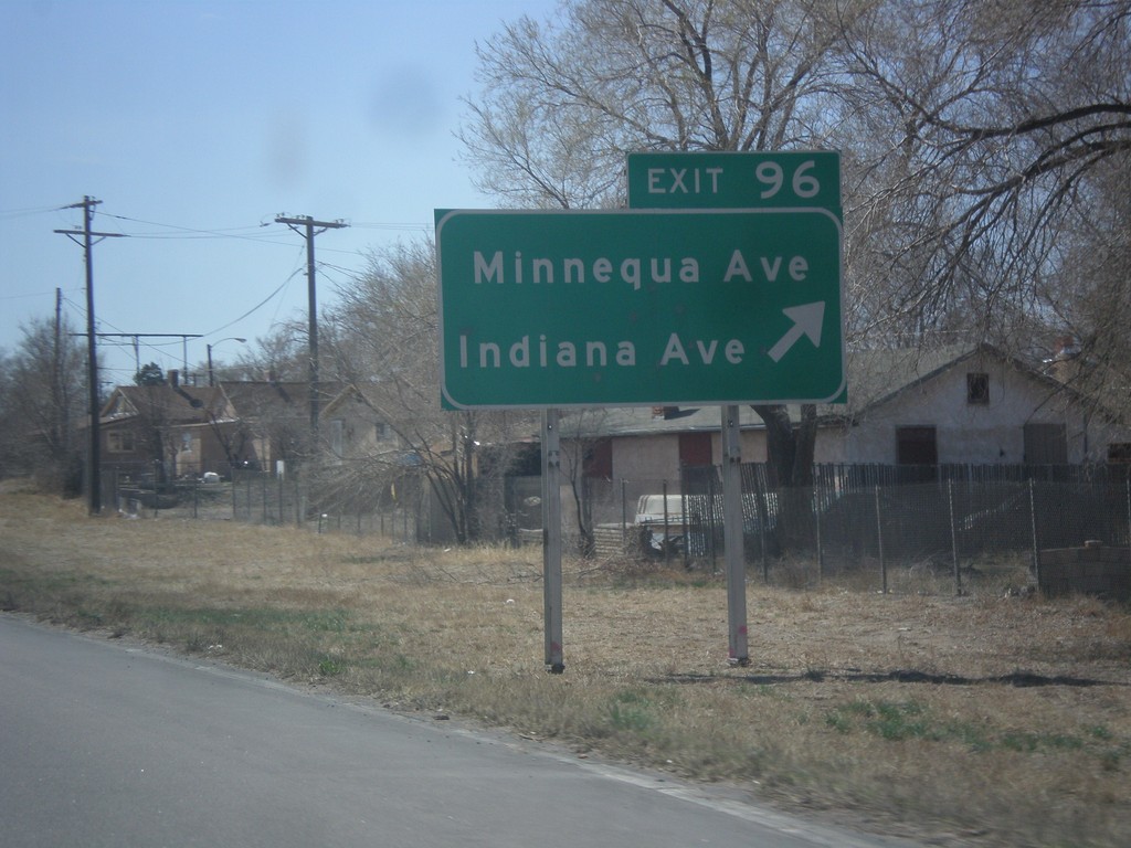
I-25 South - Exit 96
I-25 south at Exit 96 - Minnequa Ave./Indiana Ave.
Taken 03-29-2014
Pueblo
Pueblo County
Colorado
United States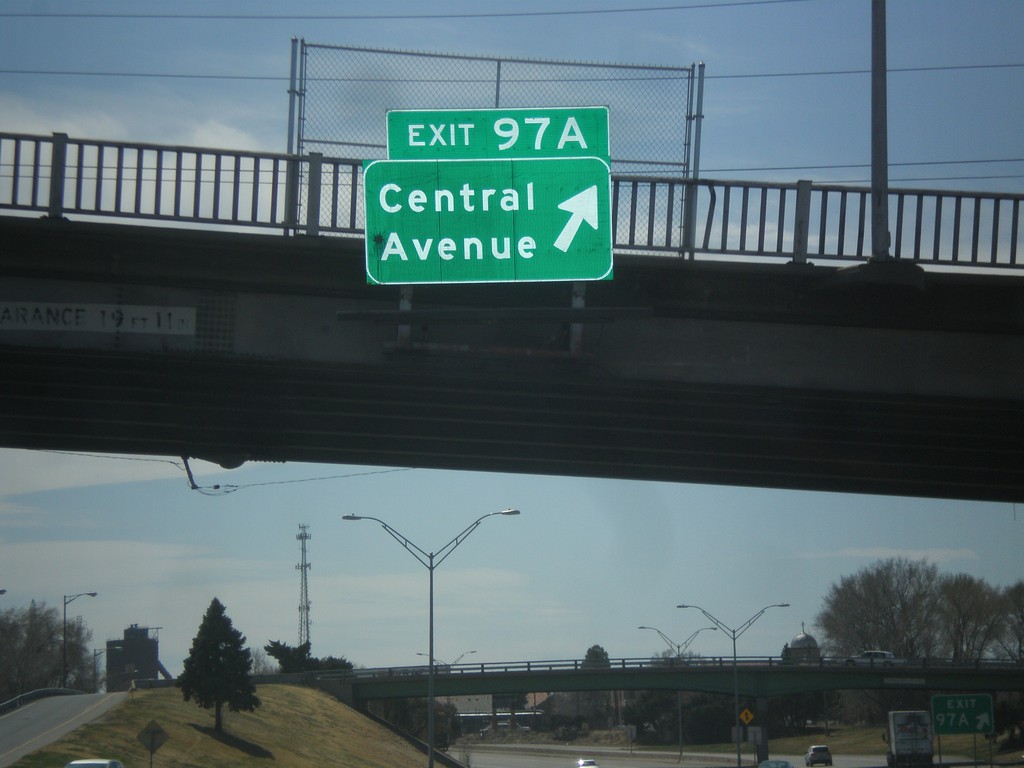
I-25 South - Exit 97A
I-25 south at Exit 97A - Central Ave.
Taken 03-29-2014
Pueblo
Pueblo County
Colorado
United States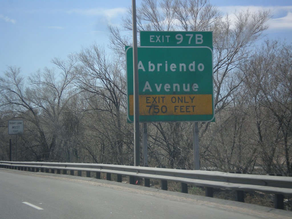
I-25 South - Exit 97B
I-25 south at Exit 97B - Abriendo Ave.
Taken 03-29-2014
Pueblo
Pueblo County
Colorado
United States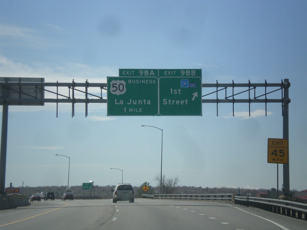
I-25 South - Exit 98B and 98A
I-25 south at Exit 98B - 1st St. Approaching Exit 98A - Business US-50/La Junta. Use 1st St. to access the Frontier Pathways Scenic Byway.
Taken 03-29-2014
 Pueblo
 County
Colorado
United States
Pueblo
Pueblo County
Colorado
United States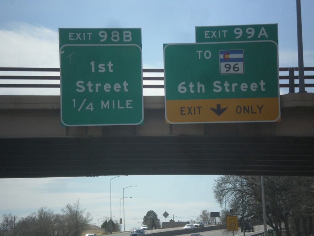
I-25 South - Exits 99A and 98B
I-25 south at Exit 99A - To CO-96/6th St. Approaching Exit 98B - 1st St.
Taken 03-29-2014
 Pueblo
 County
Colorado
United States
Pueblo
Pueblo County
Colorado
United States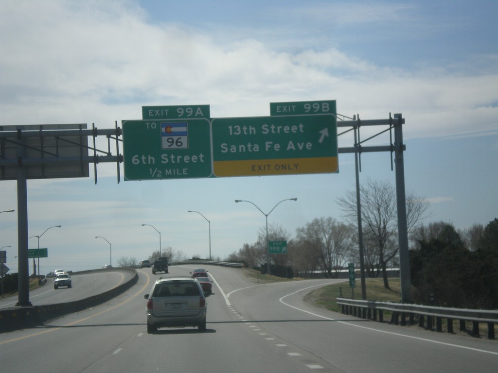
I-25 South - Exits 99A and 99B
I-25 south at Exit 99B - 13th St./Santa Fe Ave. Approaching Exit 99A - To CO-96/6th St.
Taken 03-29-2014
Pueblo
Pueblo County
Colorado
United States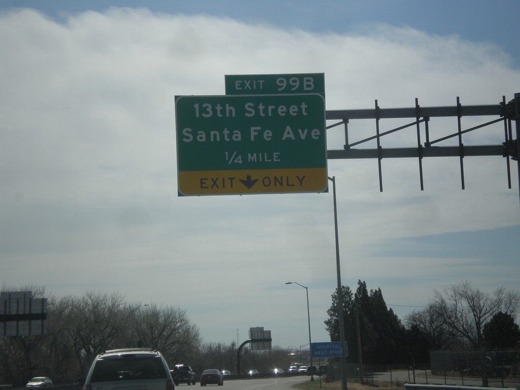
I-25 South - Exit 99B
I-25 south approaching Exit 99B - 13th St./Santa Fe Ave.
Taken 03-29-2014
Pueblo
Pueblo County
Colorado
United States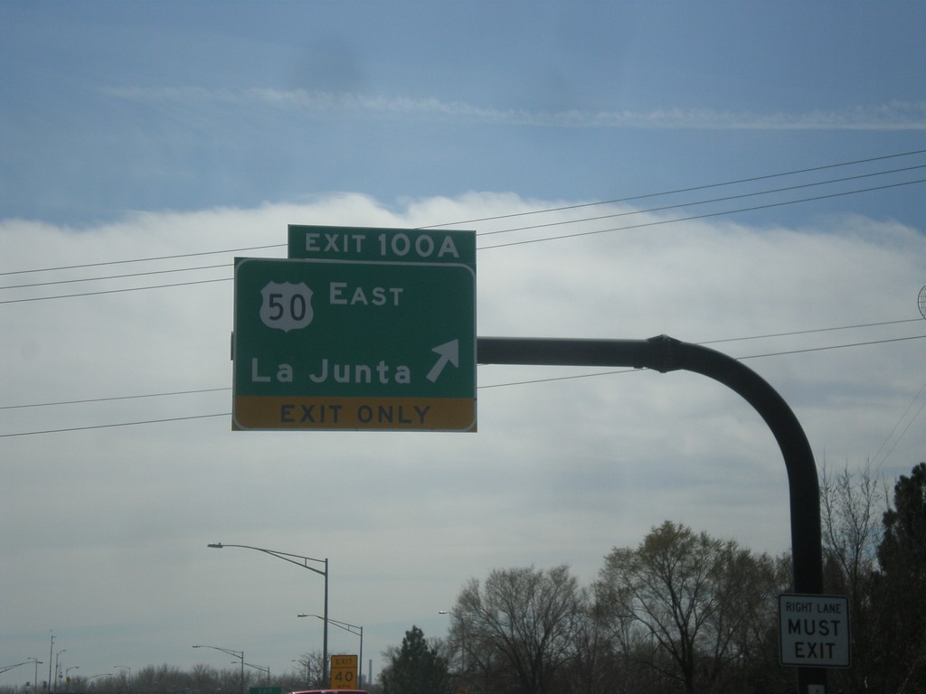
I-25 South - Exit 100A
I-25 south at Exit 100A - US-50 East/La Junta. US-50 leaves I-25 southbound here.
Taken 03-29-2014
 Pueblo
 County
Colorado
United States
Pueblo
Pueblo County
Colorado
United States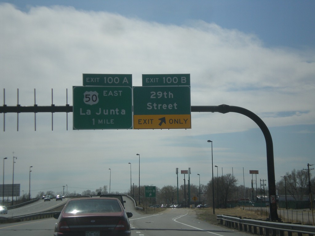
I-25 South - Exits 100B and 100A
I-25 south at Exit 100B - 29th St. Approaching Exit 100A - US-50 East/La Junta.
Taken 03-29-2014
Pueblo
Pueblo County
Colorado
United States