Signs Tagged With Big Green Sign
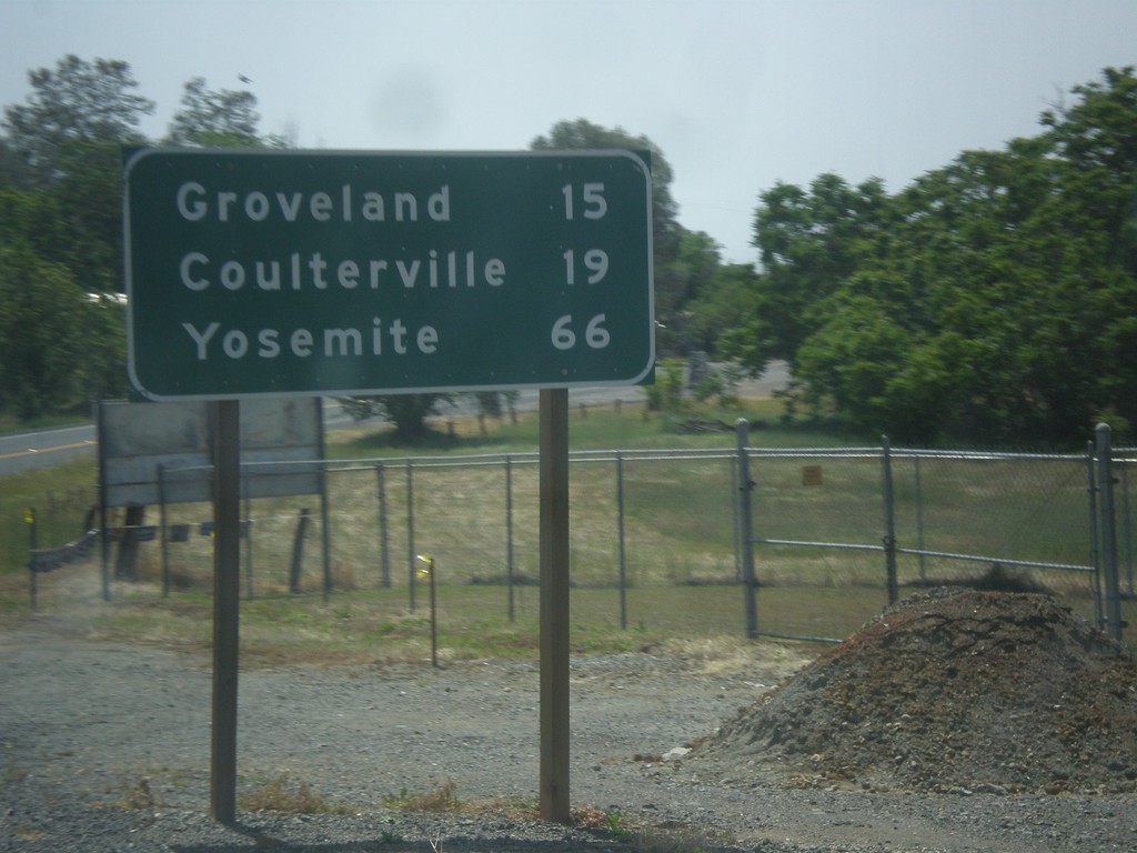
CA-49 South/CA-120 East - Distance Marker
Distance marker on CA-49 South/CA-120 East. Distance to Groveland, Coulterville, and Yosemite.
Taken 05-05-2014

 Chinese Camp
Tuolumne County
California
United States
Chinese Camp
Tuolumne County
California
United States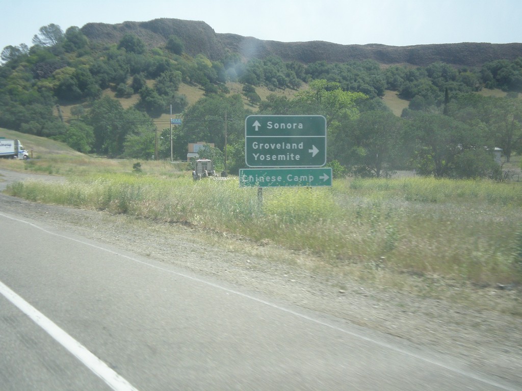
CA-108/CA-120 East at CA-120
CA-108/CA-120 East at CA-120 east to Groveland, Yosemite, and Chinese Camp. Continue east on CA-108 for Sonora.
Taken 05-05-2014
 Jamestown
Tuolumne County
California
United States
Jamestown
Tuolumne County
California
United States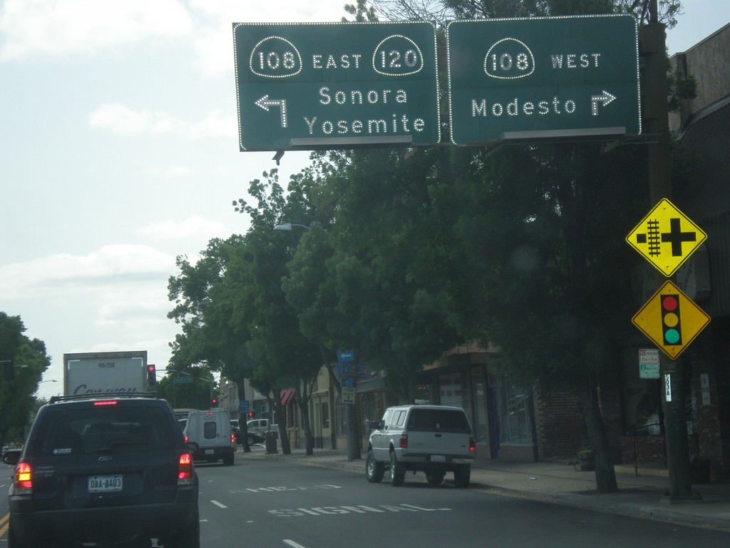
CA-120 East at CA-108
CA-120 east at CA-108 in Oakdale. Turn right for CA-108 west to Modesto. Turn left for CA-108/CA-120 east to Sonora and Yosemite. CA-120 joins CA-108 eastbound to the Chinese Camp area.
Taken 05-05-2014
Oakdale
Stanislaus County
California
United States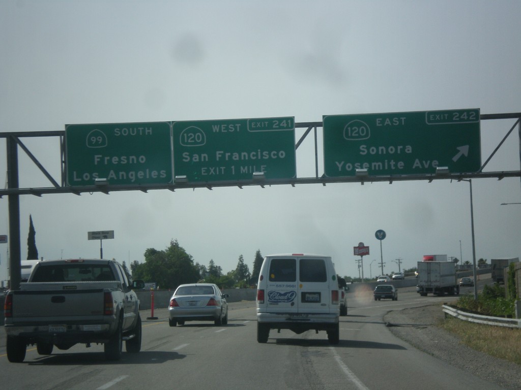
CA-99 South - Exits 242 and 241
CA-99 south at Exit 242 - CA-120 East/Sonora/Yosemite Ave. Approaching Exit 241 - CA-120 West/San Francisco. Continue south on CA-99 for Fresno and Los Angeles. CA-120 joins CA-99 south briefly through Manteca.
Taken 05-05-2014
 Manteca
San Joaquin County
California
United States
Manteca
San Joaquin County
California
United States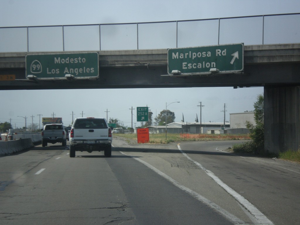
CA-99 South - Exit 252A
CA-99 south at Exit 252A - Mariposa Road/Escalon. Continue south on CA-99 for Modesto and Los Angeles.
Taken 05-05-2014
Stockton
San Joaquin County
California
United States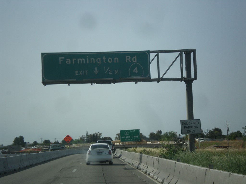
CA-99 South/CA-4 East - Exit 252B
CA-99 South/CA-4 East approaching Exit 252B - CA-4/Farmington Road. CA-4 leaves CA-99 southbound here.
Taken 05-05-2014
 Stockton
San Joaquin County
California
United States
Stockton
San Joaquin County
California
United States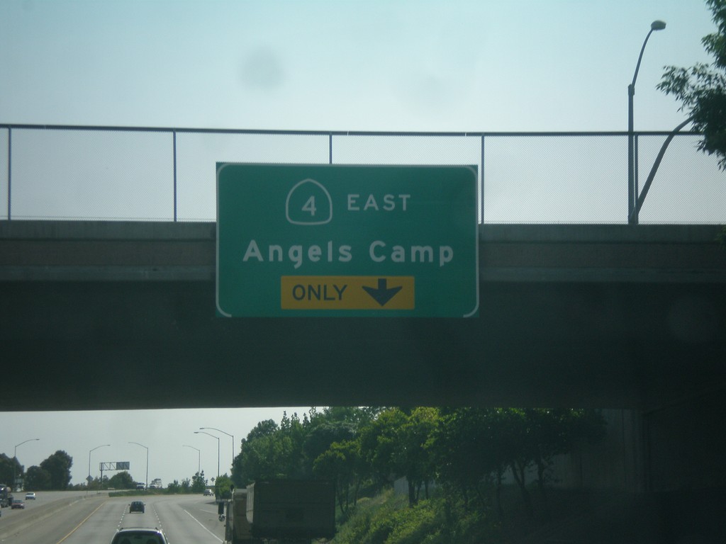
CA-99 South/CA-4 East Approaching CA-4 East
CA-99 South/CA-4 East Approaching CA-4 East/Angels Camp. This is Exit 252B (not signed). CA-4 east leaves CA-99 at Exit 252B.
Taken 05-05-2014
Stockton
San Joaquin County
California
United States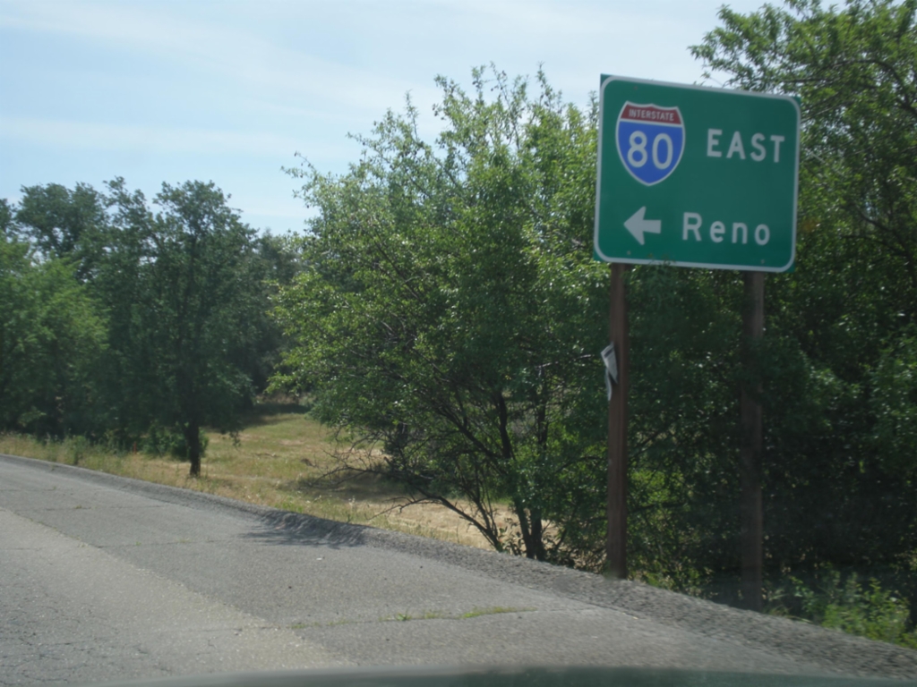
Horseshoe Bar Road East at I-80 East
Horseshoe Bar Road East at I-80 East to Reno.
Taken 05-04-2014
 Loomis
Placer County
California
United States
Loomis
Placer County
California
United States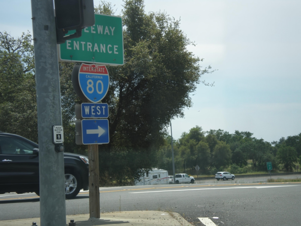
Horseshoe Bar Road East at I-80 West
Horseshoe Bar Road east at I-80 west onramp (Exit 110) in Loomis.
Taken 05-04-2014
Loomis
Placer County
California
United States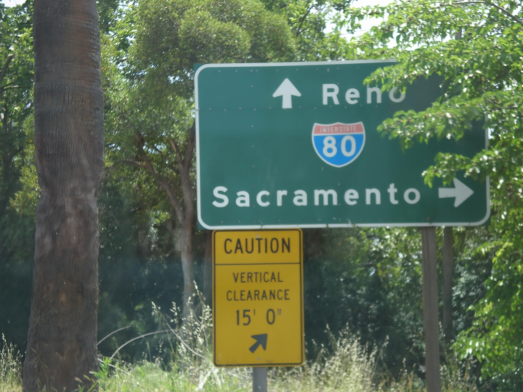
Horseshoe Bar Road East at I-80
Horseshoe Bar Road East at I-80. Turn right for I-80 west to Sacramento; continue over freeway for I-80 east to Reno.
Taken 05-04-2014
Loomis
Placer County
California
United States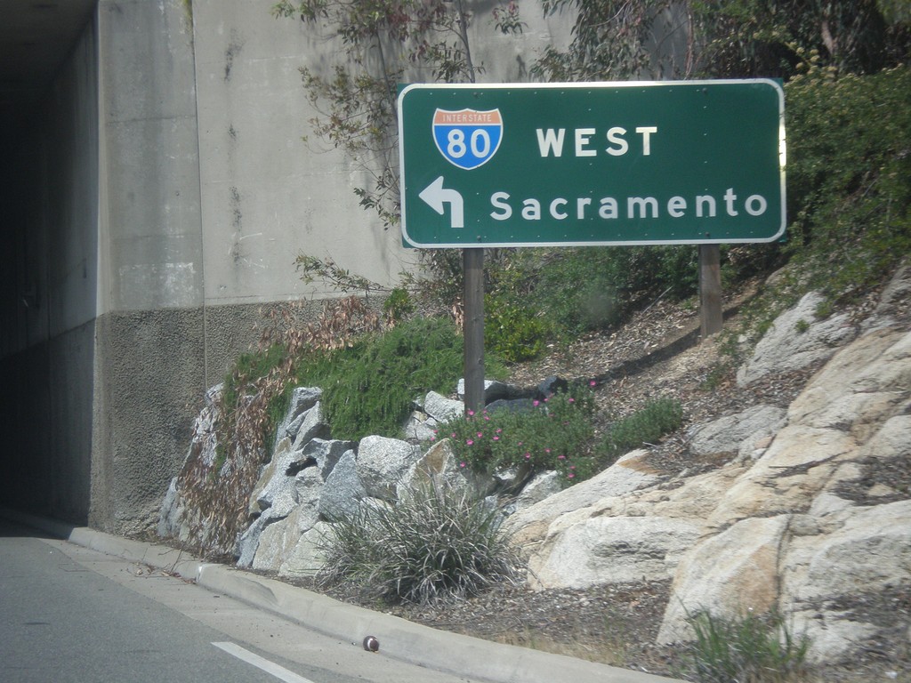
Rocklin Road West at I-80 West
Rocklin Road West at I-80 West to Sacramento (Exit 108).
Taken 05-04-2014
Rocklin
Placer County
California
United States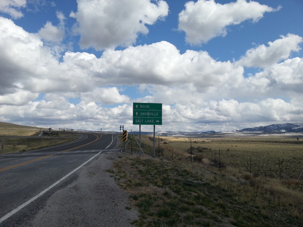
UT-30 East at I-84
UT-30 east at I-84 (Exit 5). Use I-84 west for Boise (Idaho); I-84 east for Salt Lake. Continue east on county road for Snowville. UT-30 ends here at I-84.
Taken 03-31-2014

 Snowville
Box Elder County
Utah
United States
Snowville
Box Elder County
Utah
United States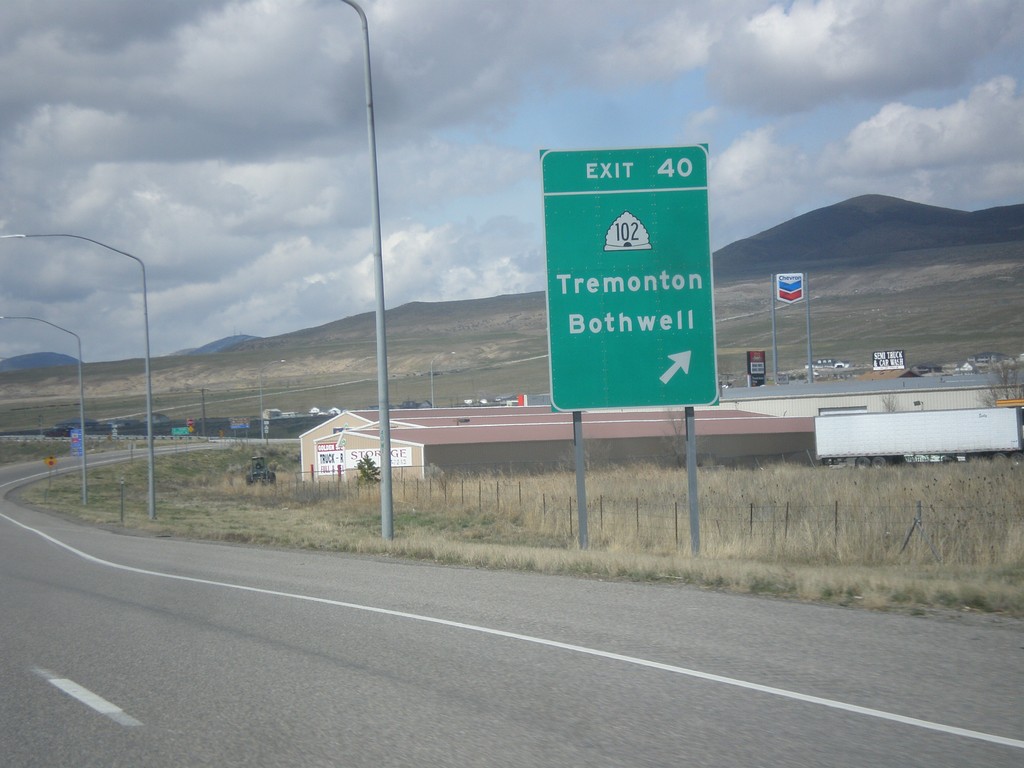
I-84 West - Exit 40
I-84 west at Exit 40 - UT-102/Tremonton/Bothwell.
Taken 03-31-2014
 Tremonton
Box Elder County
Utah
United States
Tremonton
Box Elder County
Utah
United States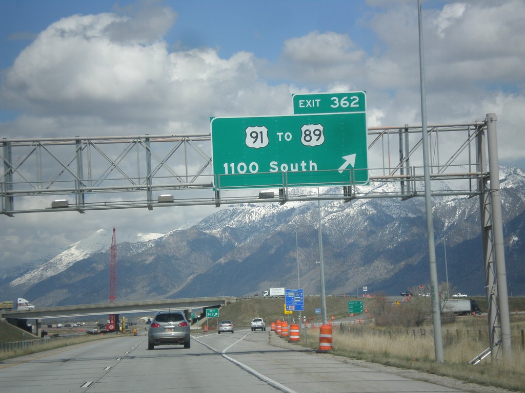
I-15 North/I-84 West - Exit 362
I-15 North/I-84 West at Exit 362 - US-91/To US-89/1100 South St.
Taken 03-31-2014


 Perry
Box Elder County
Utah
United States
Perry
Box Elder County
Utah
United States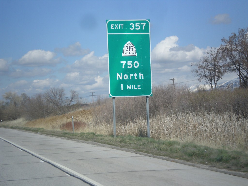
I-15 North/I-84 West - Exit 357
I-15 North/I-84 West approaching Exit 357 - UT-315/750 North.
Taken 03-31-2014
 Willard
Box Elder County
Utah
United States
Willard
Box Elder County
Utah
United States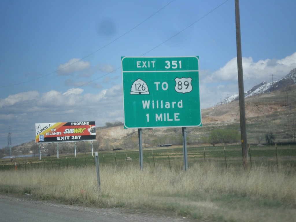
I-15 North/I-84 West - Exit 351
I-15 North/I-84 West approaching Exit 351 - UT-126/To US-89/Willard.
Taken 03-31-2014
 Ogden
Weber County
Utah
United States
Ogden
Weber County
Utah
United States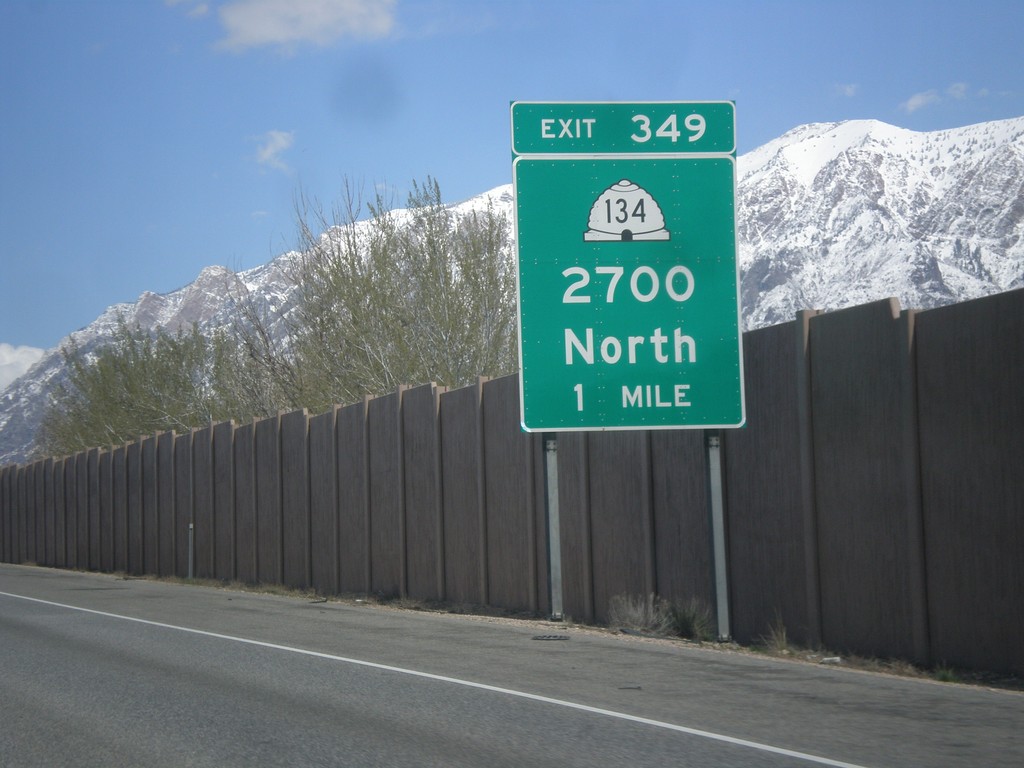
I-15 North/I-84 West - Exit 349
I-15 North/I-84 West approaching Exit 349 - UT-134/2700 North.
Taken 03-31-2014
 Farr West
Weber County
Utah
United States
Farr West
Weber County
Utah
United States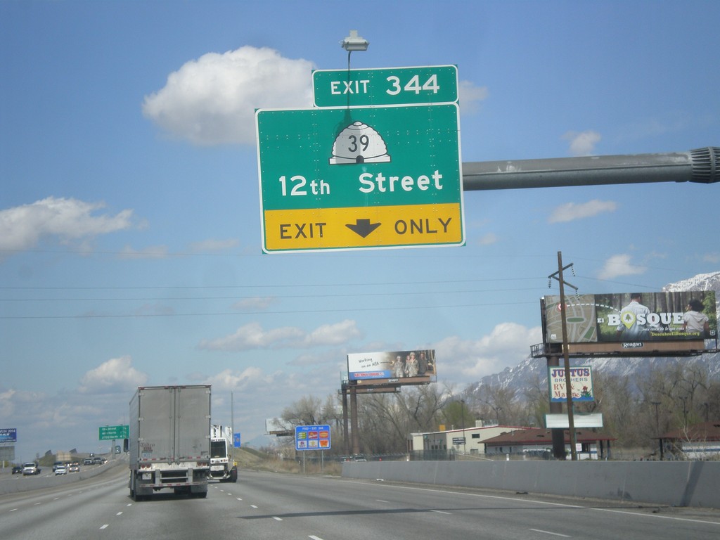
I-15 North/I-84 West - Exit 344
I-15 North/I-84 West approaching Exit 344 - UT-39/12th St.
Taken 03-31-2014
 West Haven
Weber County
Utah
United States
West Haven
Weber County
Utah
United States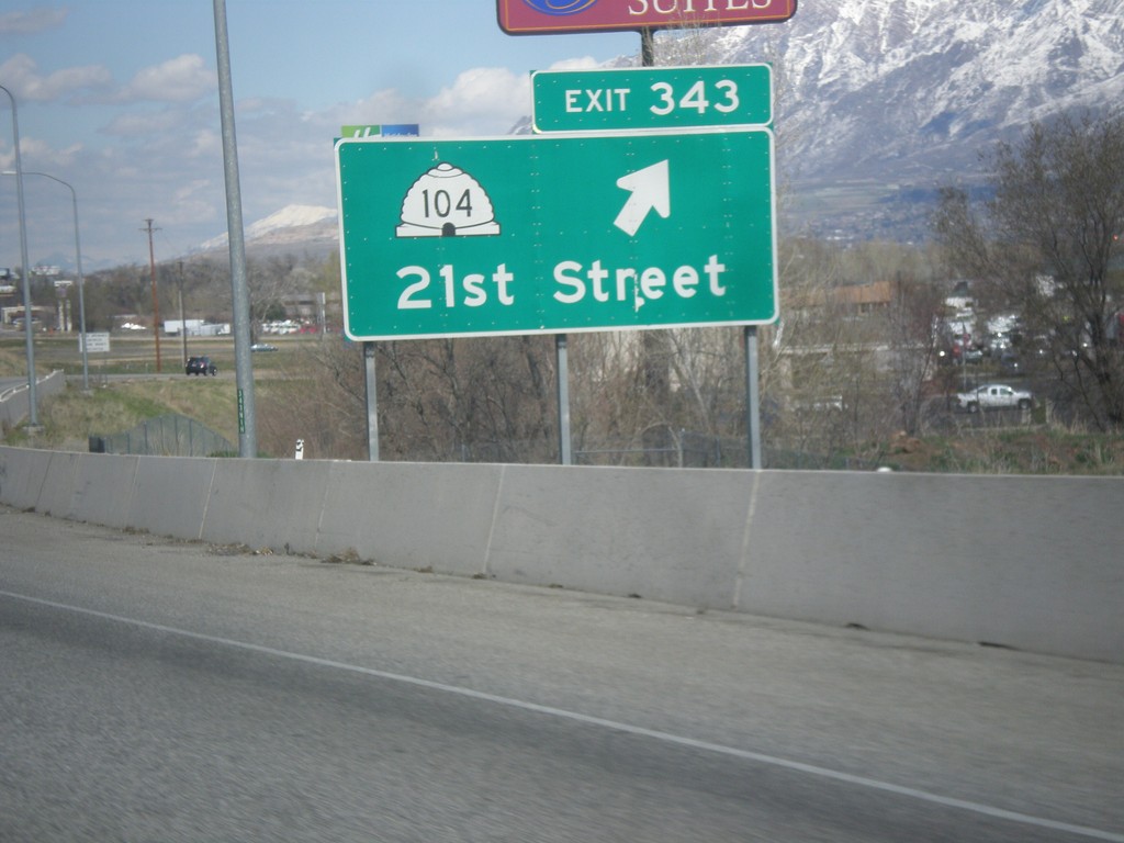
I-15 North/I-84 West - Exit 343
I-15 North/I-84 West at Exit 343 - UT-104/21st St.
Taken 03-31-2014
 Ogden
Weber County
Utah
United States
Ogden
Weber County
Utah
United States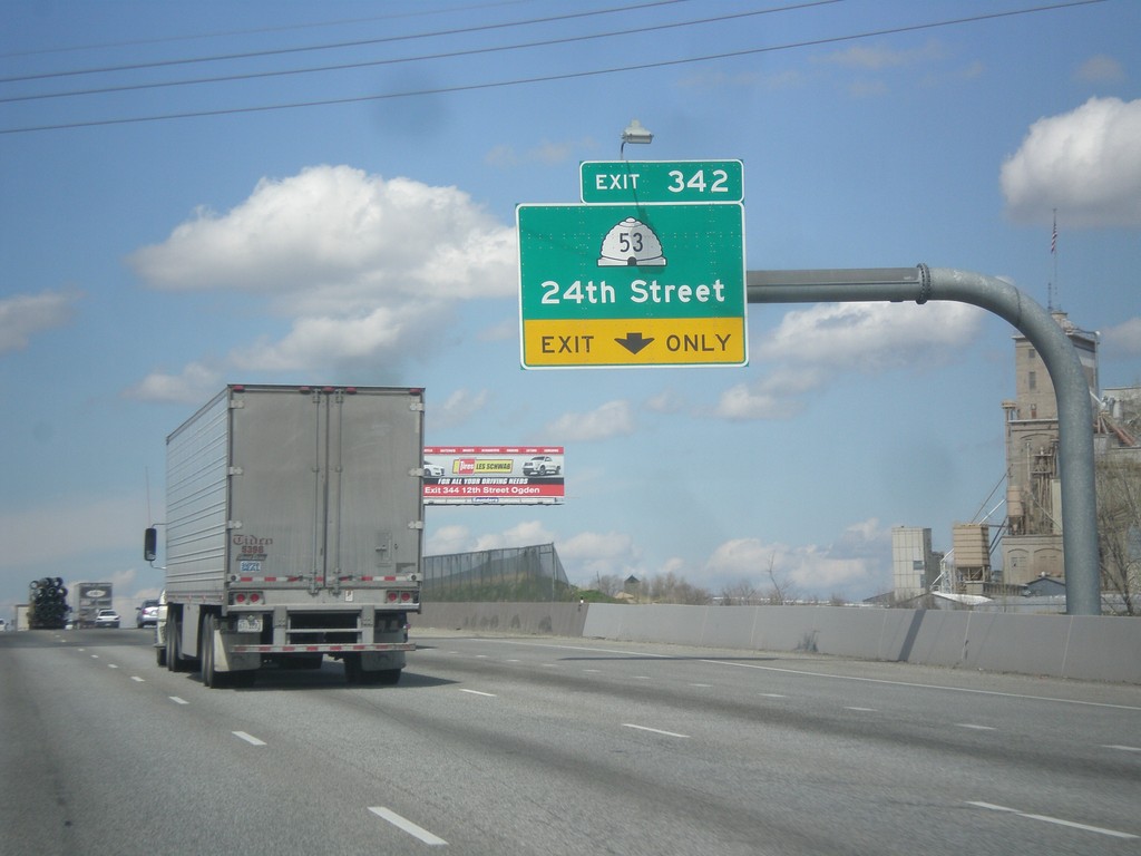
I-15 North/I-84 West - Exit 342
I-15 North/I-84 West approaching Exit 342 - UT-53/24th St.
Taken 03-31-2014
 Ogden
Weber County
Utah
United States
Ogden
Weber County
Utah
United States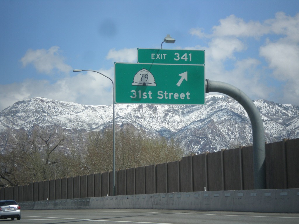
I-15 North - Exit 341
I-15 north at Exit 341 - UT-79/31st St.
Taken 03-31-2014
 Riverdale
Weber County
Utah
United States
Riverdale
Weber County
Utah
United States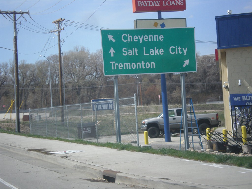
UT-26 West Approaching I-84
UT-26 West approaching I-84. Use I-84 west for Tremonton; I-84 east for Cheyenne (Wyoming). Continue west on UT-26 for Salt Lake City (via I-15 South).
Taken 03-31-2014
 Riverdale
Weber County
Utah
United States
Riverdale
Weber County
Utah
United States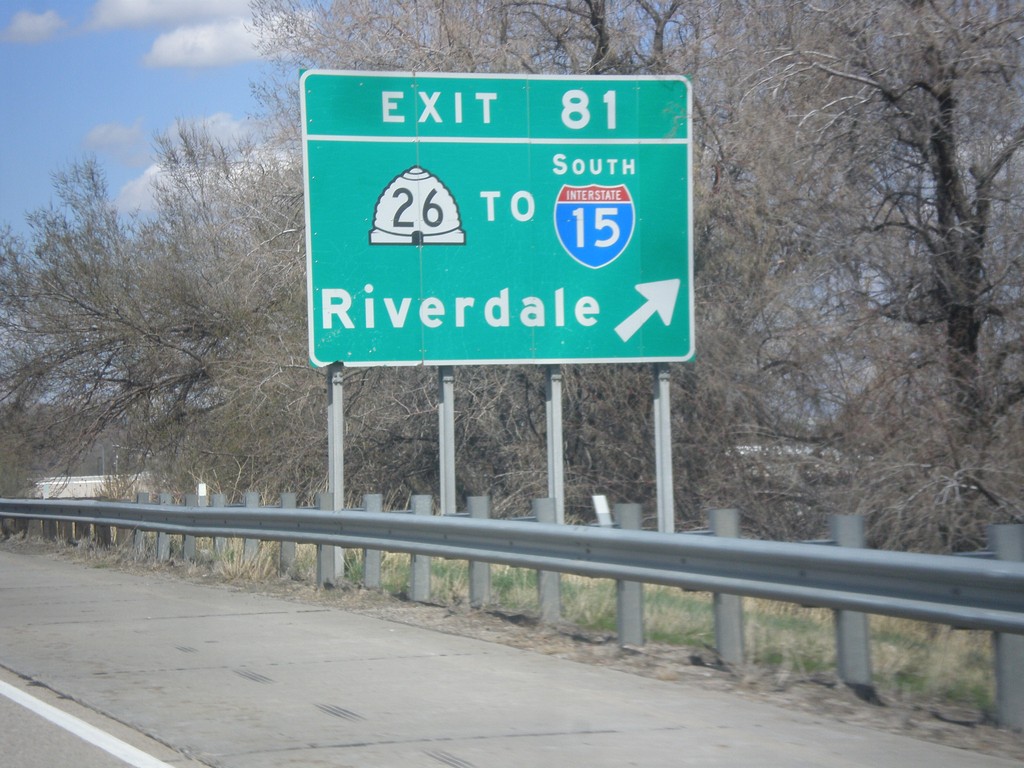
I-84 West - Exit 81
I-84 west at Exit 81 - UT-26/To I-15 South/Riverdale.
Taken 03-31-2014
Ogden
Weber County
Utah
United States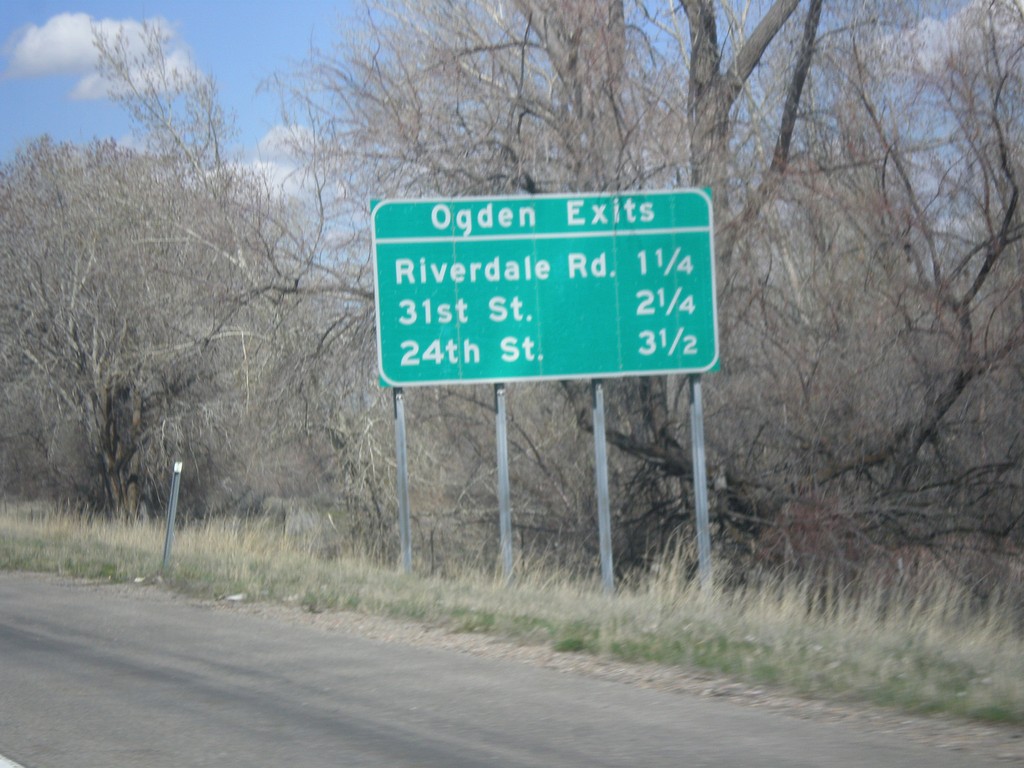
I-84 West - Ogden Exits
Ogden Exits on I-84 west. Next three exits: Riverdale Road, 31st St., and 24th St.
Taken 03-31-2014
South Weber
Weber County
Utah
United States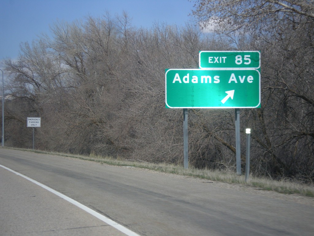
I-84 West - Exit 85
I-84 west at Exit 85 - Adams Ave.
Taken 03-31-2014
South Weber
Davis County
Utah
United States