Signs Tagged With Big Green Sign
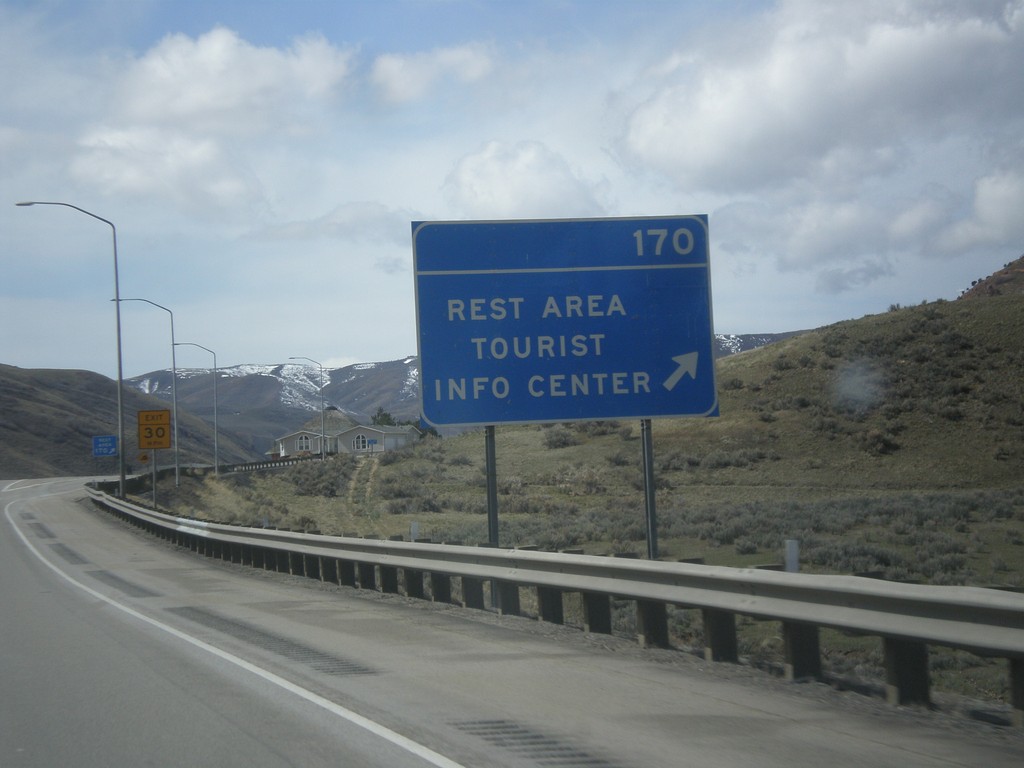
I-80 West - Exit 170
I-80 west at Exit 170 - Rest Area/Tourist Info Center.
Taken 03-31-2014
 Echo
Summit County
Utah
United States
Echo
Summit County
Utah
United States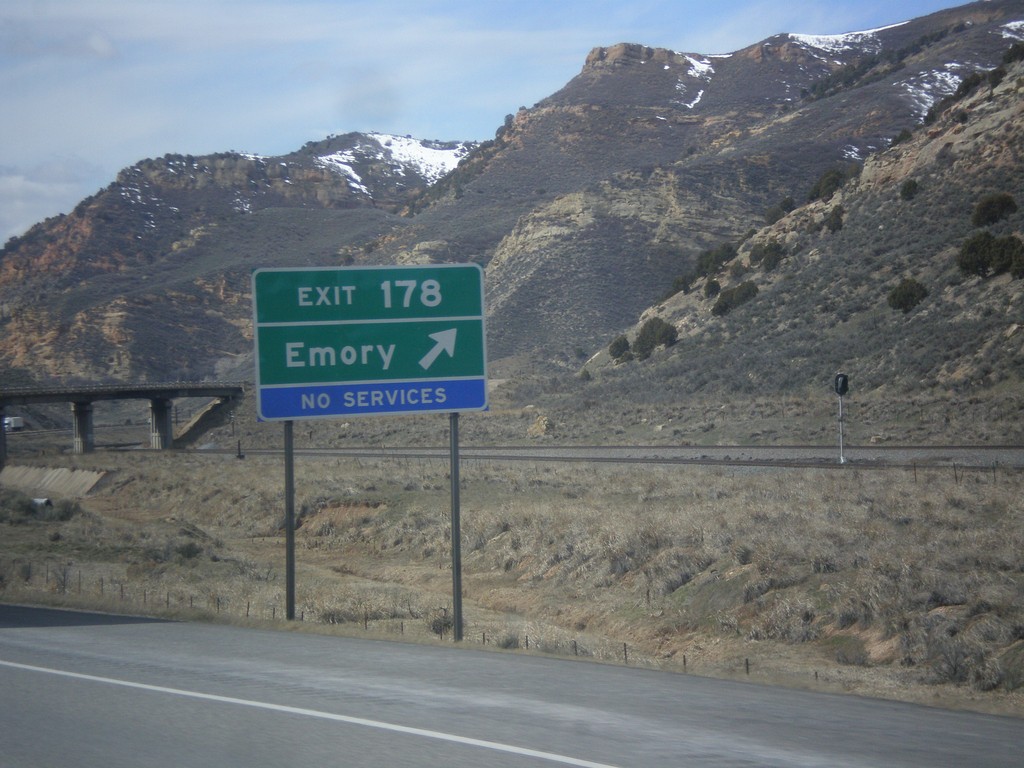
I-80 West - Exit 178
I-80 west at Exit 178 - Emery.
Taken 03-31-2014
Coalville
Summit County
Utah
United States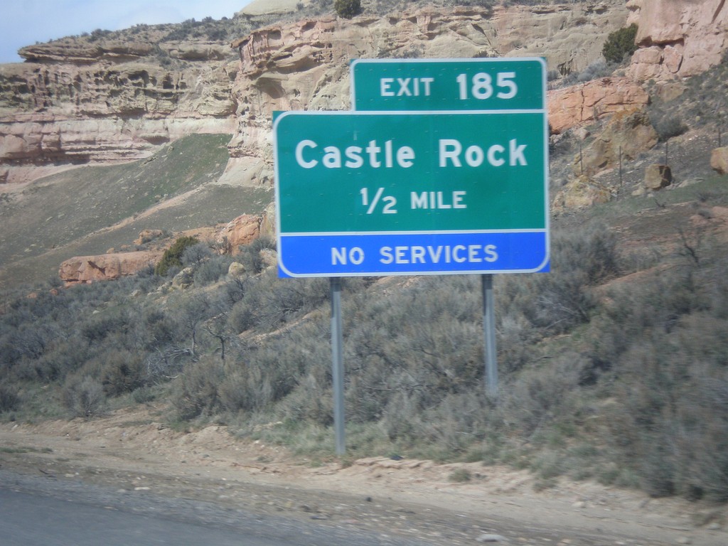
I-80 West - Exit 185
I-80 west approaching Exit 185 - Castle Rock.
Taken 03-31-2014
Coalville
Summit County
Utah
United States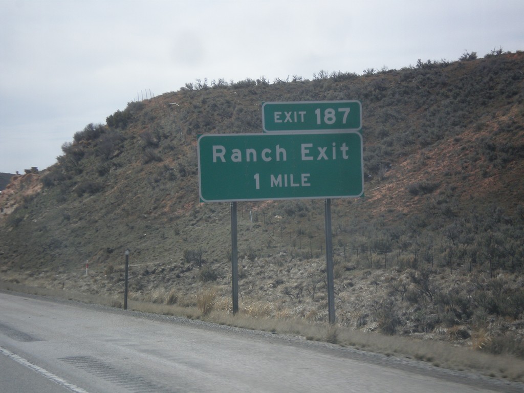
I-80 West - Exit 187
I-80 west approaching Exit 187 - Ranch Exit.
Taken 03-31-2014
Coalville
Summit County
Utah
United States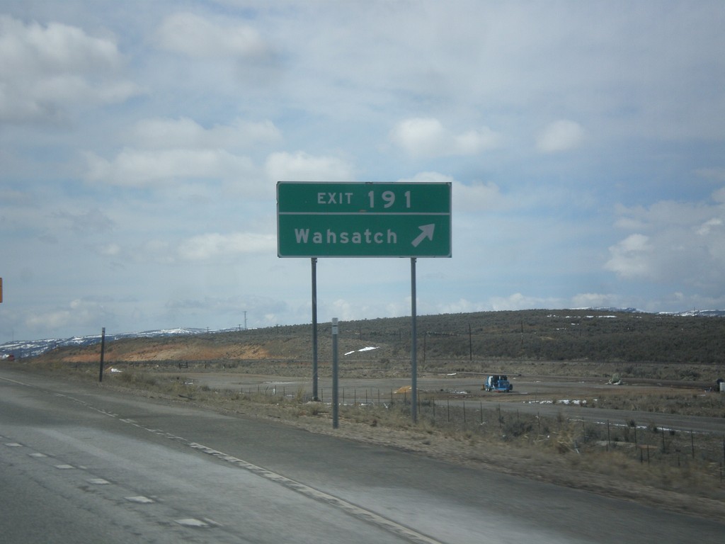
I-80 West - Exit 191
I-80 west at Exit 191 - Wahsatch.
Taken 03-31-2014
Coalville
Summit County
Utah
United States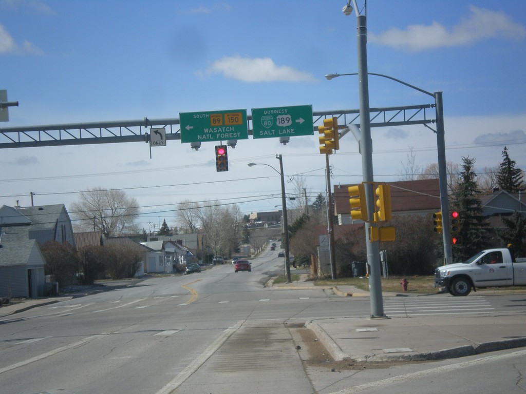
BL-80/Bus US-189 at WY-89/To WY-150
BL-80/Bus US-189 at WY-89/To WY-150. Turn left for WY-89 South/(To)WY-150 to Wasatch National Forest. Turn right for BL-80 East/Bus. US-189 South to Salt Lake.
Taken 03-31-2014


 Evanston
Uinta County
Wyoming
United States
Evanston
Uinta County
Wyoming
United States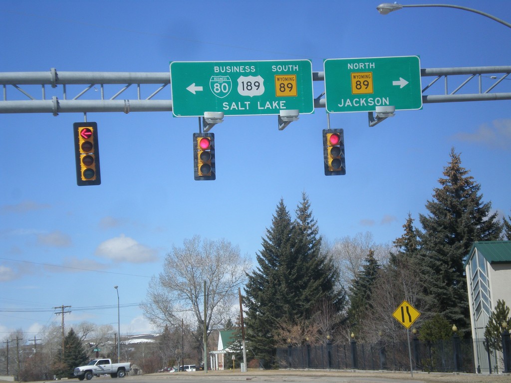
BL-80/Bus. US-189 West At WY-89
BL-80/Bus. US-189 West at WY-89. Turn right for WY-89 North to Jackson; left for WY-89 South/BL-80/Bus. US-189 to Salt Lake.
Taken 03-31-2014
Evanston
Uinta County
Wyoming
United States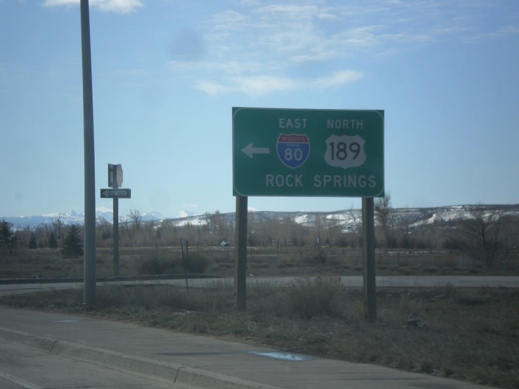
End BL-80/Bus. US-189 East at I-80 East
End BL-80/Bus. US-189 East at I-80 East/US-189 North to Rock Springs.
Taken 03-31-2014
 Evanston
Uinta County
Wyoming
United States
Evanston
Uinta County
Wyoming
United States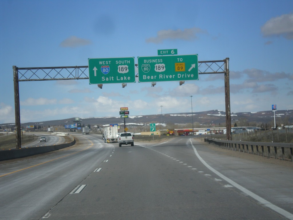
I-80 West - Exit 6
I-80 west at Exit 6 - BL-80/Business US-189/To WY-89/Bear River Drive. This is the eastern end of the Evanston business loop. Evanston is the last city in Wyoming along I-80 west.
Taken 03-31-2014
Evanston
Uinta County
Wyoming
United States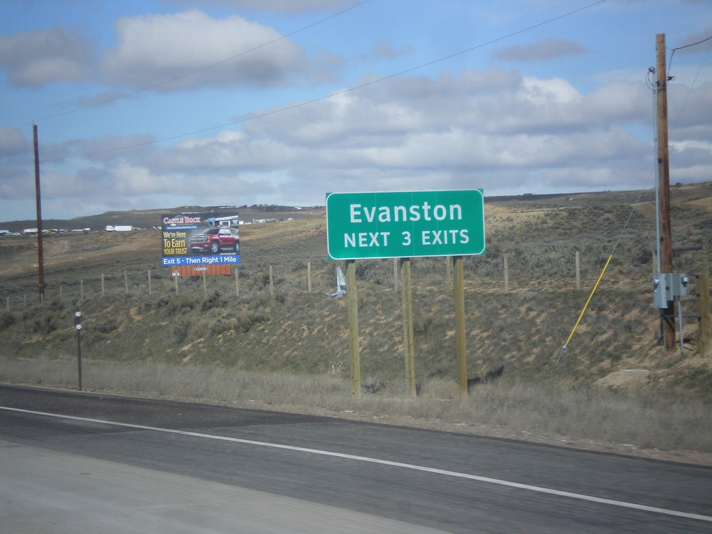
I-80 West - Evanston Exits
Evanston Next 3 Exits on I-80 west.
Taken 03-31-2014
Evanston
Uinta County
Wyoming
United States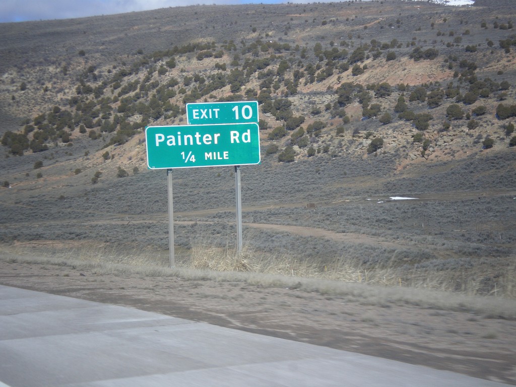
I-80 West - Exit 10
I-80 west approaching Exit 10 - Painter Road.
Taken 03-31-2014
Evanston
Uinta County
Wyoming
United States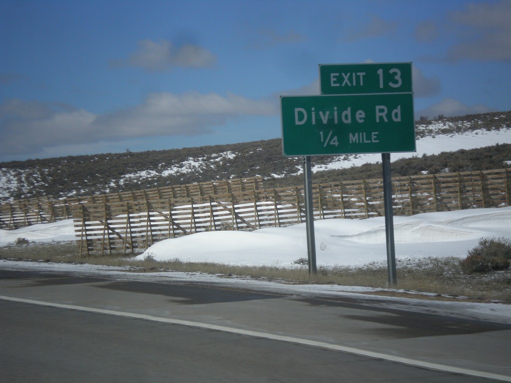
I-80 West - Exit 13
I-80 west approaching Exit 13 - Divide Road.
Taken 03-31-2014
Evanston
Uinta County
Wyoming
United States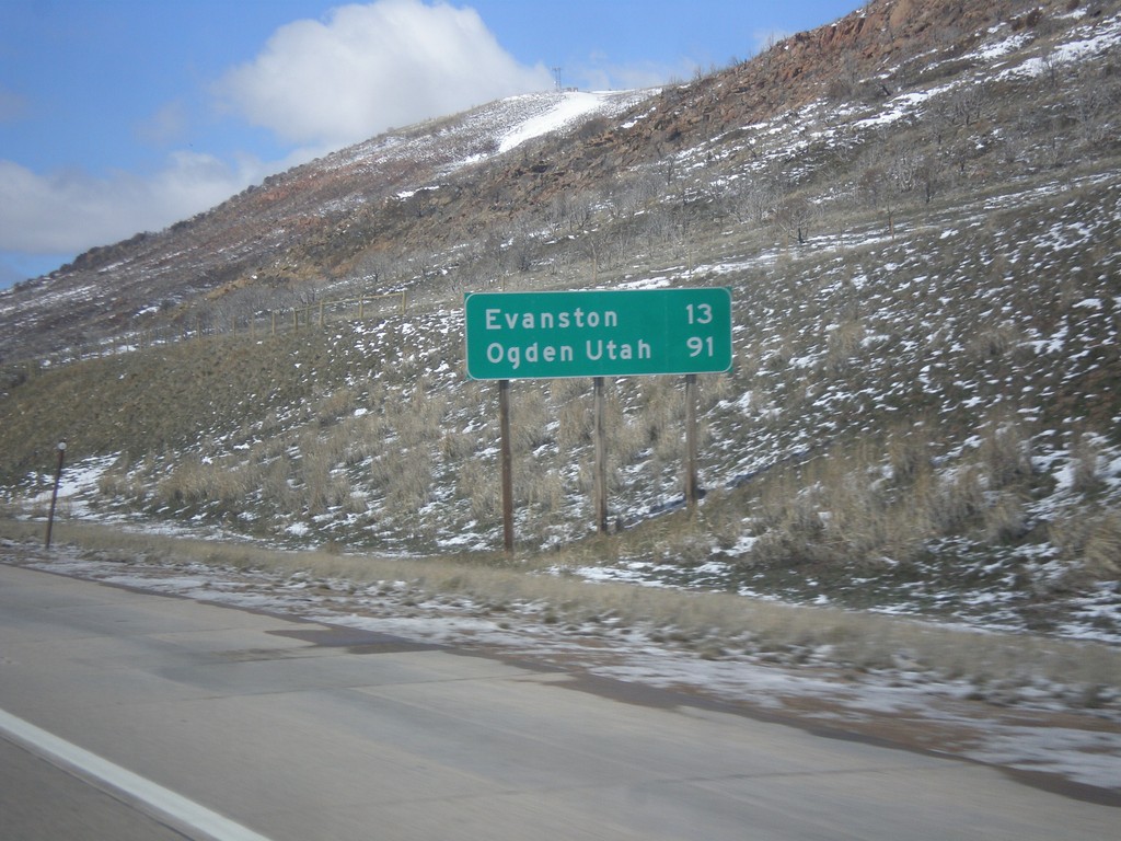
I-80 West - Distance Marker
Distance marker on I-80 west. Distance to Evanston, and Ogden, Utah (via I-84).
Taken 03-31-2014
Evanston
Uinta County
Wyoming
United States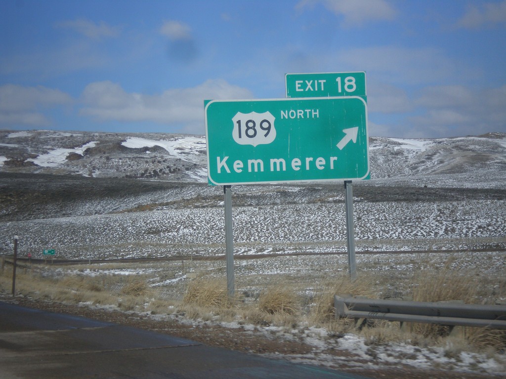
I-80 West - Exit 18
I-80 west at Exit 18 - US-189 North/Kemmerer. US-189 south joins I-80 west into Utah.
Taken 03-31-2014
Aspen
Uinta County
Wyoming
United States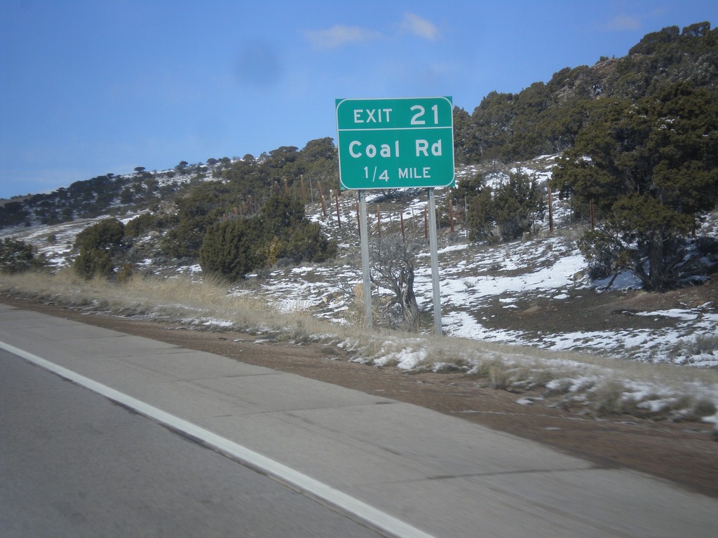
I-80 West - Exit 21
I-80 west at Exit 21 - Coal Road.
Taken 03-31-2014
Evanston
Uinta County
Wyoming
United States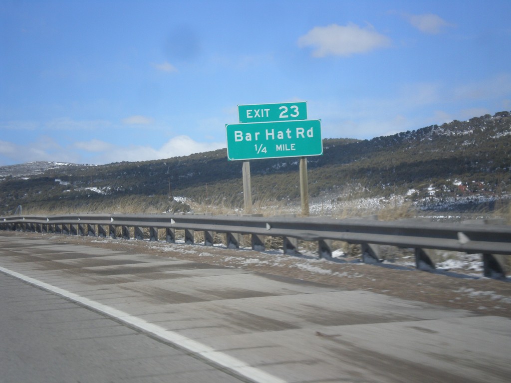
I-80 West - Exit 23
I-80 west approaching Exit 23 - Bar Hat Road.
Taken 03-31-2014
Piedmont
Uinta County
Wyoming
United States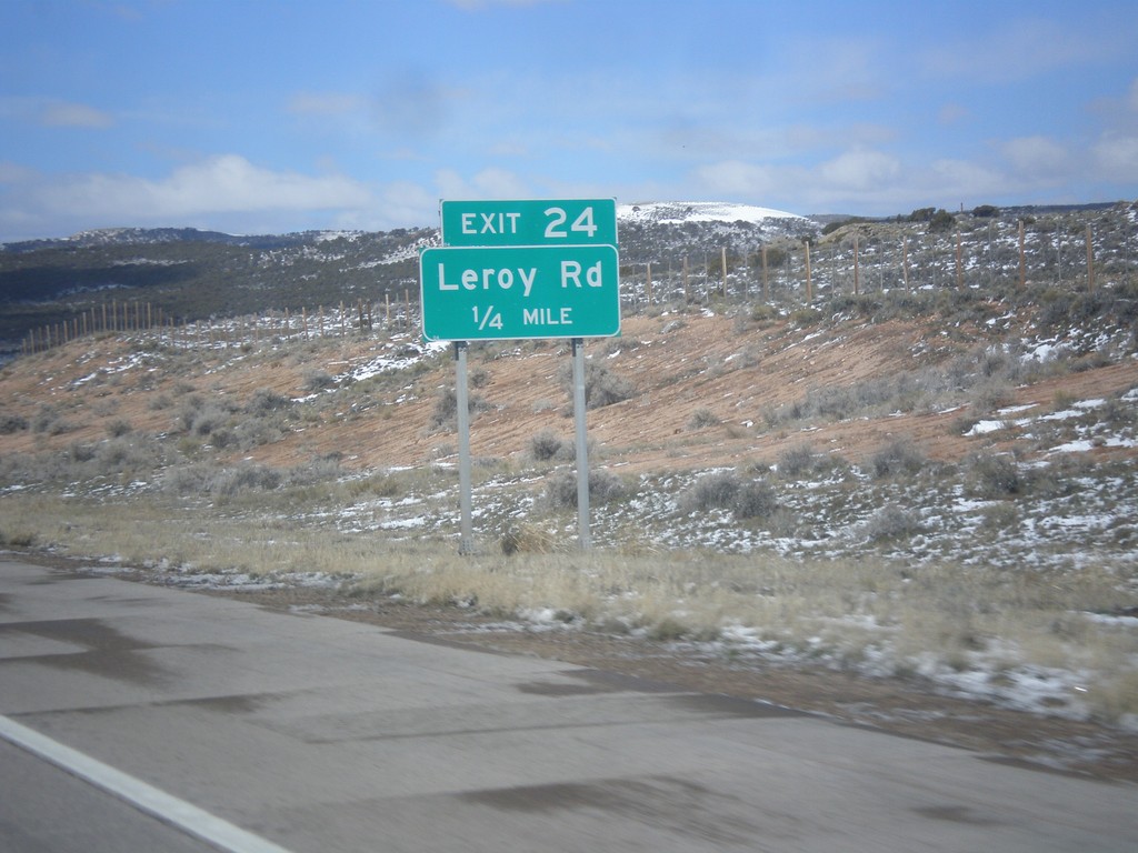
I-80 West - Exit 24
I-80 west approaching Exit 24 - Leroy Road.
Taken 03-31-2014
Piedmont
Uinta County
Wyoming
United States
I-80 West - Exit 28
I-80 west approaching Exit 28 - French Road.
Taken 03-31-2014
Fort Bridger
Uinta County
Wyoming
United States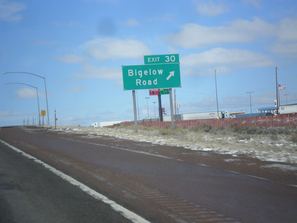
I-80 West - Exit 30
I-80 west at Exit 30 - Bigelow Road.
Taken 03-31-2014
Fort Bridger
Uinta County
Wyoming
United States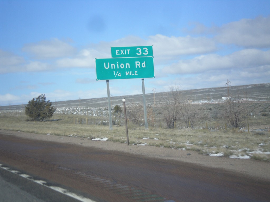
I-80 West - Exit 33
I-80 west approaching Exit 33 - Union Road.
Taken 03-31-2014
Fort Bridger
Uinta County
Wyoming
United States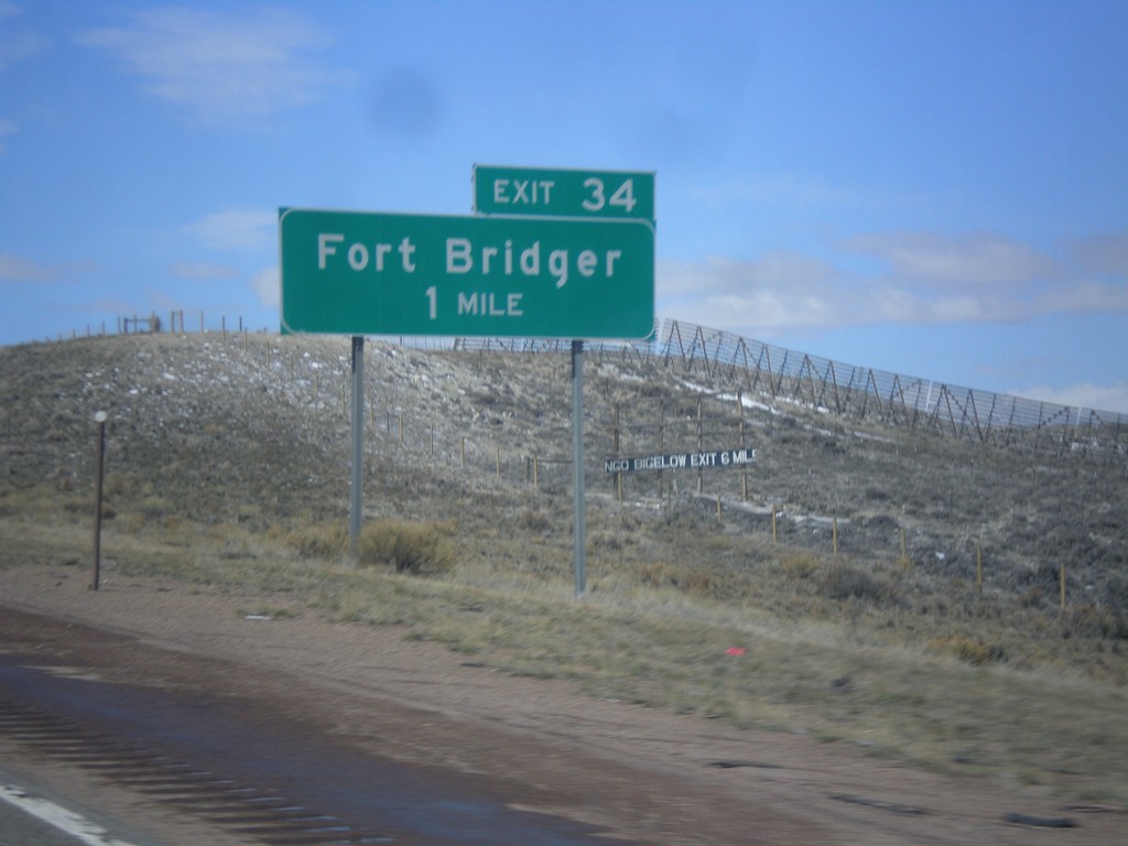
I-80 West - Exit 34
I-80 west approaching Exit 34 - Fort Bridger.
Taken 03-31-2014
Fort Bridger
Uinta County
Wyoming
United States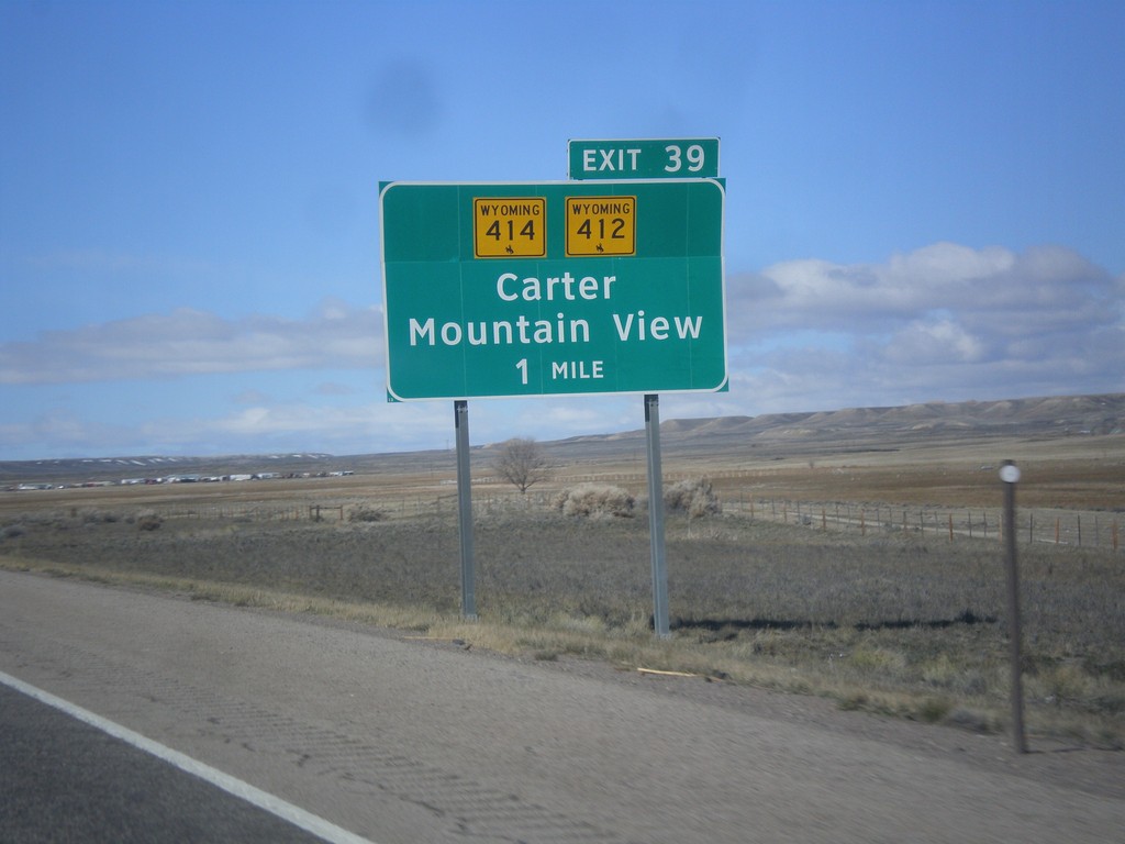
I-80 West - Exit 39
I-80 west approaching Exit 39 - WY-412/WY-414/Carter/Mountain View. The Wyoming shields on the interchange sign contain the bucking cowboy. Most Wyoming state highway shields on guide signs omit the cowboy.
Taken 03-31-2014

 Lyman
Uinta County
Wyoming
United States
Lyman
Uinta County
Wyoming
United States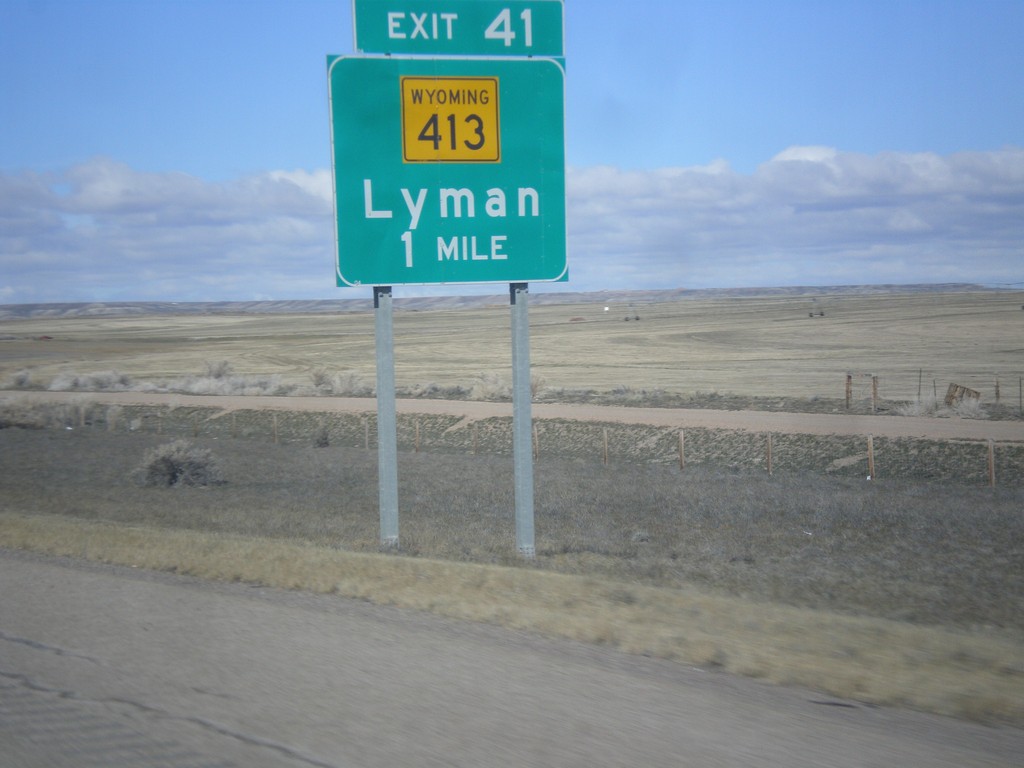
I-80 West - Exit 41
I-80 west approaching Exit 41 - WY-413/Lyman.
Taken 03-31-2014
 Lyman
Uinta County
Wyoming
United States
Lyman
Uinta County
Wyoming
United States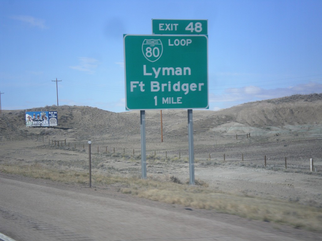
I-80 West - Exit 48
I-80 west approaching Exit 48 - BL-80/Lyman/Fort Bridger. This is the eastern end of the Bridger Valley business loop. BL-80 goes through Lyman and Fort Bridger.
Taken 03-31-2014
Lyman
Uinta County
Wyoming
United States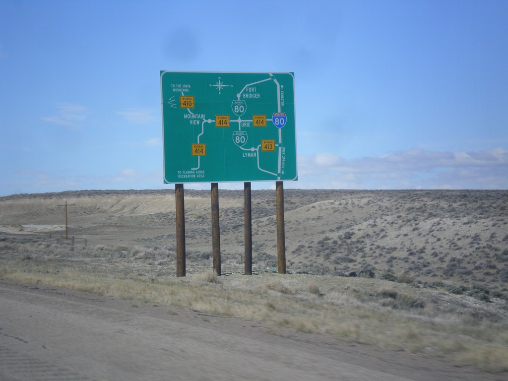
I-80 West - Bridger Valley Route Diagram
Bridger Valley route diagram on I-80 west.
Taken 03-31-2014
Lyman
Uinta County
Wyoming
United States