Signs Tagged With Big Green Sign
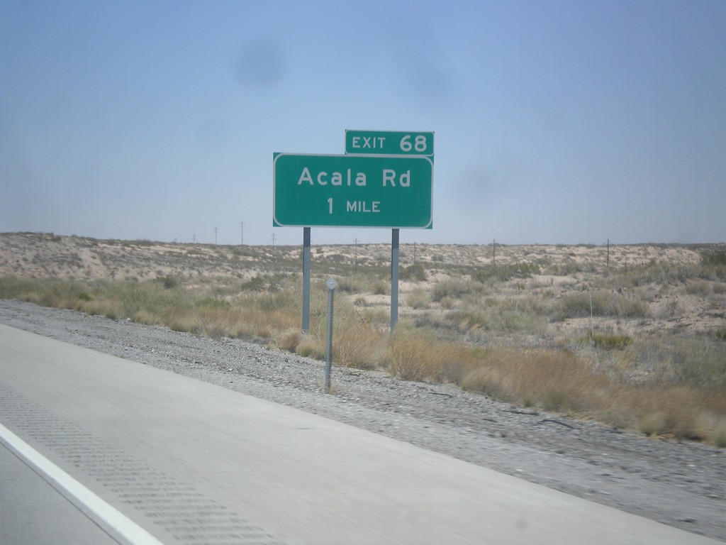
I-10 West - Exit 68
I-10 west approaching Exit 68 - Acala Road.
Taken 04-15-2013
 Fort Hancock
Hudspeth County
Texas
United States
Fort Hancock
Hudspeth County
Texas
United States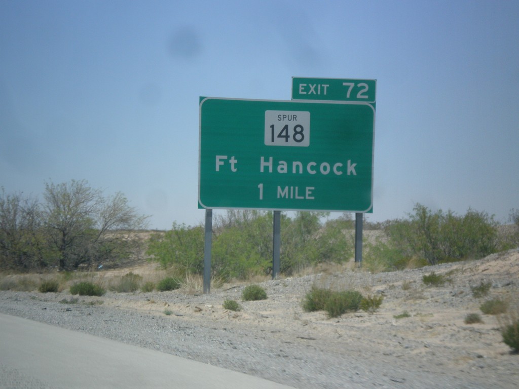
I-10 West - Exit 72
I-10 west approaching Exit 72 - TX-148 Spur/Ft. Hancock.
Taken 04-15-2013
 Fort Hancock
Hudspeth County
Texas
United States
Fort Hancock
Hudspeth County
Texas
United States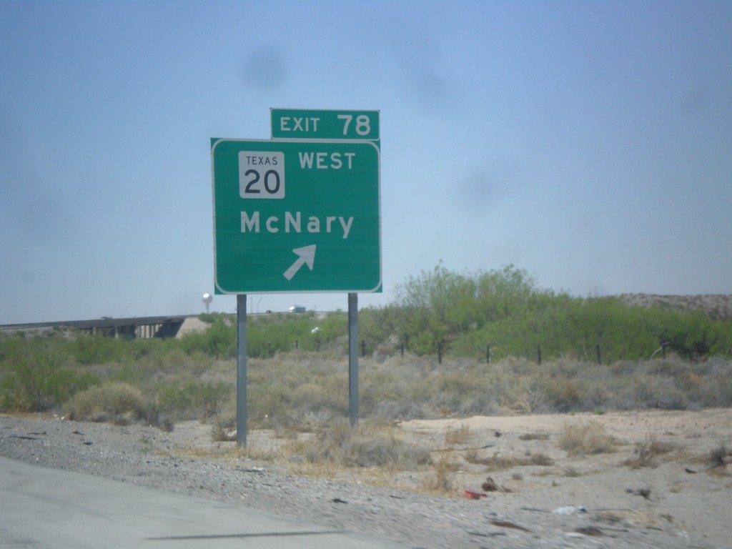
I-10 West - Exit 78
I-10 west at Exit 78 - TX-20/McNary. TX-20 runs between the Rio Grande and I-10 between here and El Paso. Views of the Rio Grande and Mexico can be seen south of the highway through through this area.
Taken 04-15-2013
 Fort Hancock
Hudspeth County
Texas
United States
Fort Hancock
Hudspeth County
Texas
United States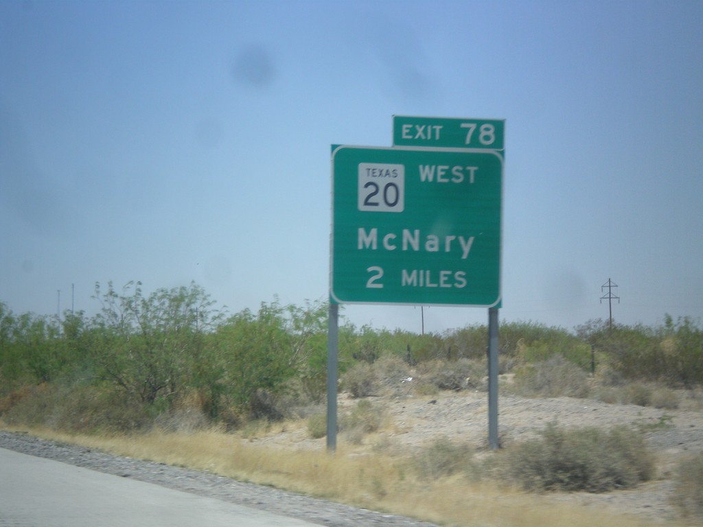
I-10 West Approaching Exit 80
I-10 west approaching Exit 80 - TX-20/McNary.
Taken 04-15-2013
Fort Hancock
Hudspeth County
Texas
United States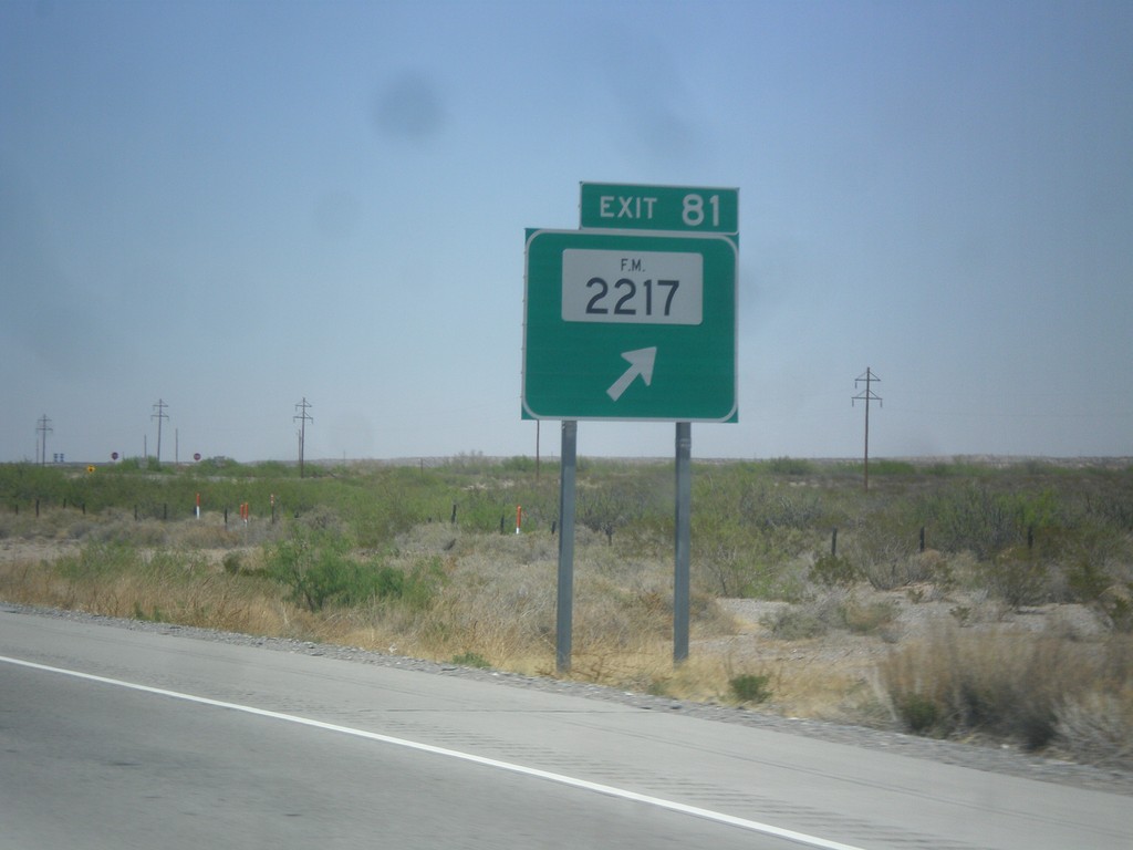
I-10 West - Exit 81
I-10 west at Exit 81 - FM-2217.
Taken 04-15-2013
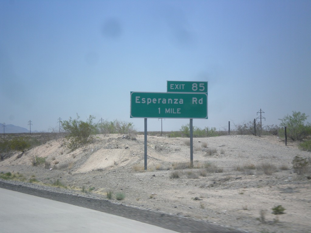
I-10 West - Exit 85
I-10 West at Exit 85 - Esperanza Road. I-10 enters the Rio Grande Valley near here. I-10 parallels the Rio Grande from here to Las Cruces, NM.
Taken 04-15-2013
Fort Hancock
Hudspeth County
Texas
United States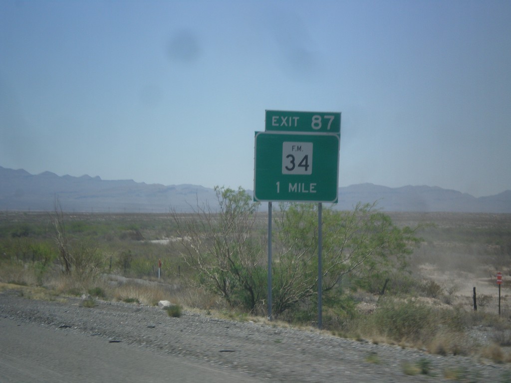
I-10 West - Exit 88
I-10 west at Exit 88 - FM-34.
Taken 04-15-2013
 Esperanza
Hudspeth County
Texas
United States
Esperanza
Hudspeth County
Texas
United States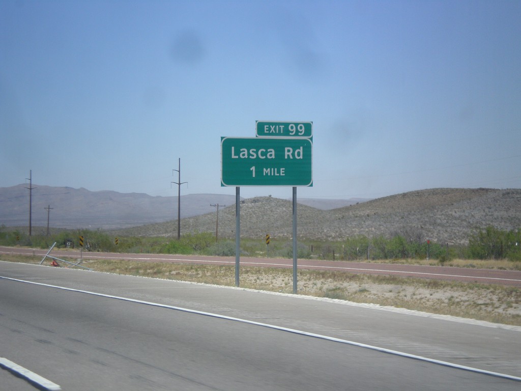
I-10 West - Exit 99
I-10 west approaching Exit 99 - Lasca Road.
Taken 04-15-2013
Sierra Blanca
Hudspeth County
Texas
United States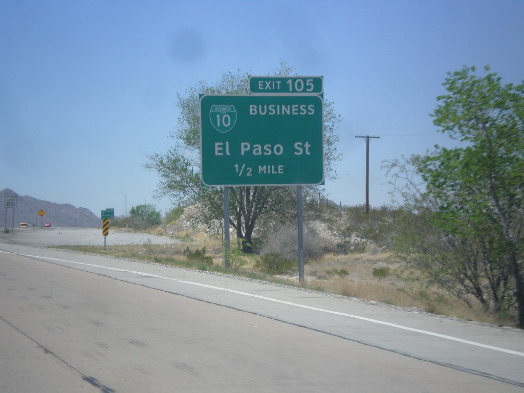
I-10 West - Exit 106
I-10 west approaching Exit 106 - BL-10 Business/El Paso St.
Taken 04-15-2013
 Sierra Blanca
Hudspeth County
Texas
United States
Sierra Blanca
Hudspeth County
Texas
United States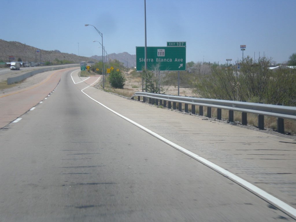
I-10 West - Exit 107
I-10 west at Exit 107 - RM-1111/Sierra Blanca Ave.
Taken 04-15-2013
 Sierra Blanca
Hudspeth County
Texas
United States
Sierra Blanca
Hudspeth County
Texas
United States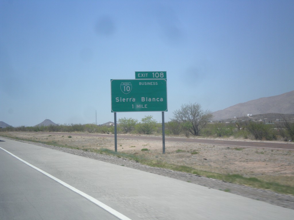
I-10 West - Exit 110
I-10 west approaching Exit 110 - BL-10 Business/Sierra Blanca.
Taken 04-15-2013
Sierra Blanca
Hudspeth County
Texas
United States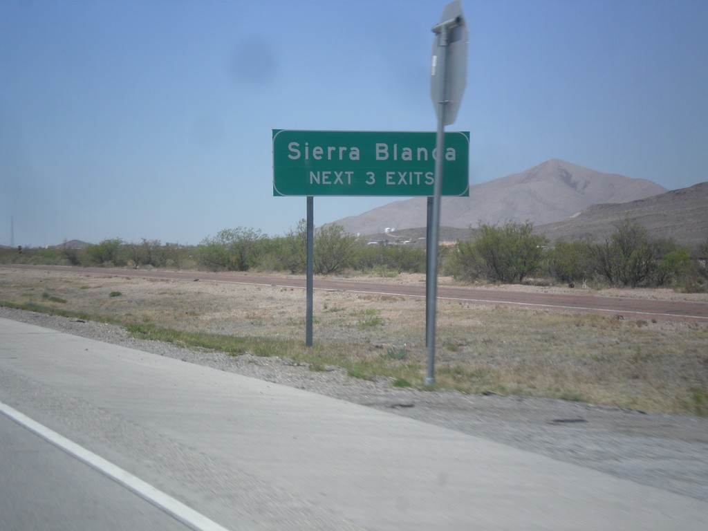
I-10 West - Sierra Blanca Exits
Sierra Blanca - Next 3 Exits on I-10 west, approaching Sierra Blanca, TX.
Taken 04-15-2013
Sierra Blanca
Hudspeth County
Texas
United States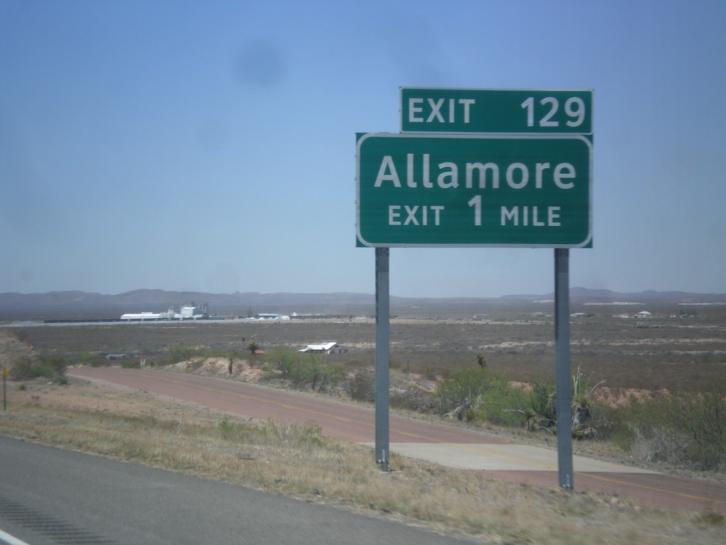
I-10 West - Exit 129
I-10 west approaching Exit 129 - Allamore.
Taken 04-15-2013
Van Horn
Hudspeth County
Texas
United States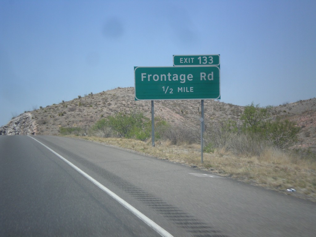
I-10 West - Exit 133
I-10 west approaching Exit 133 - Frontage Road.
Taken 04-15-2013
Van Horn
Hudspeth County
Texas
United States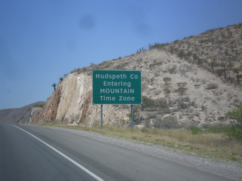
I-10 West - Hudspeth County/Mountain Time
Entering Hudspeth County and Mountain Time Zone on I-10 west.
Taken 04-15-2013
Van Horn
Hudspeth County
Texas
United States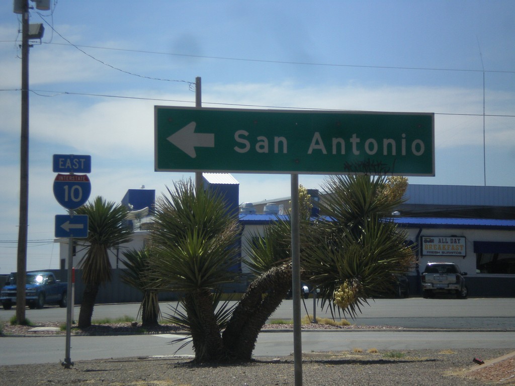
Golf Course Dr. at I-10 East
Golf Course Drive at I-10 east to San Antonio. This is the western end of the Van Horn business loop.
Taken 04-15-2013
Van Horn
Culberson County
Texas
United States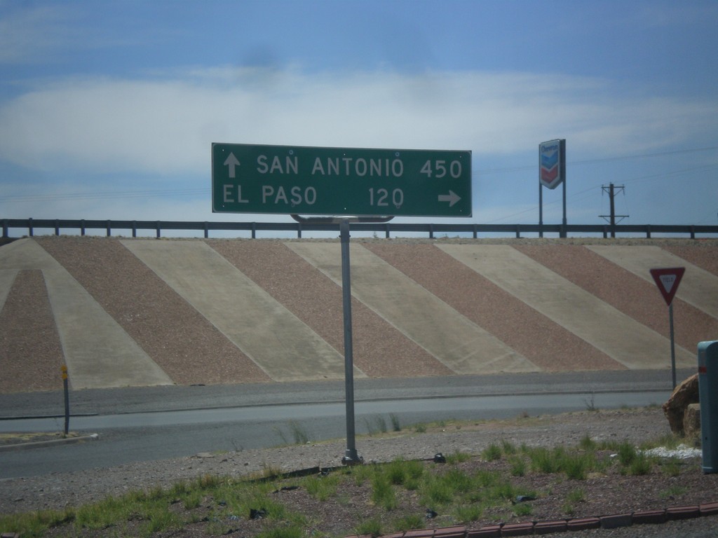
BL-10 (Golf Course Dr.) at I-10
BL-10 (Golf Course Dr.) at I-10. Turn right for I-10 west to El Paso; left for I-10 east to San Antonio.
Taken 04-15-2013
Van Horn
Culberson County
Texas
United States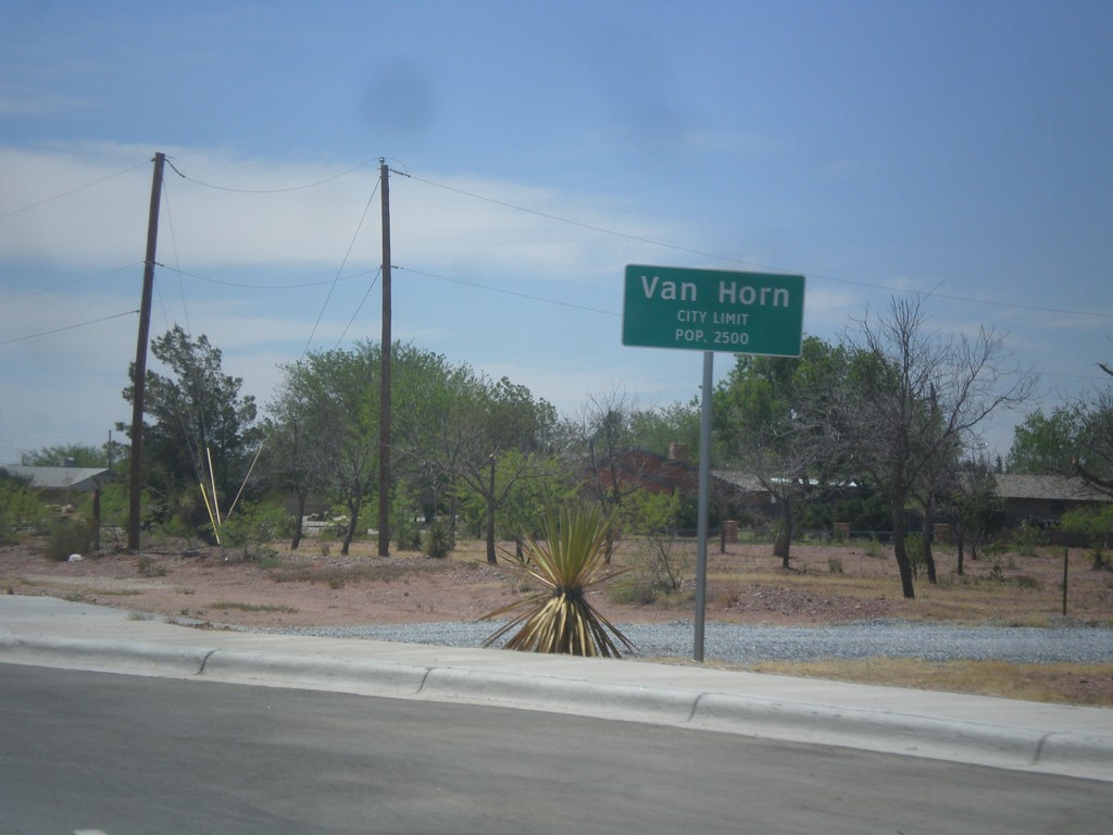
TX-54 South - Van Horn City Limit
Van Horn City Limit - Pop. 2500. Taken on TX-54 south. Van Horn is the county seat of Culberson County.
Taken 04-15-2013
 Van Horn
Culberson County
Texas
United States
Van Horn
Culberson County
Texas
United States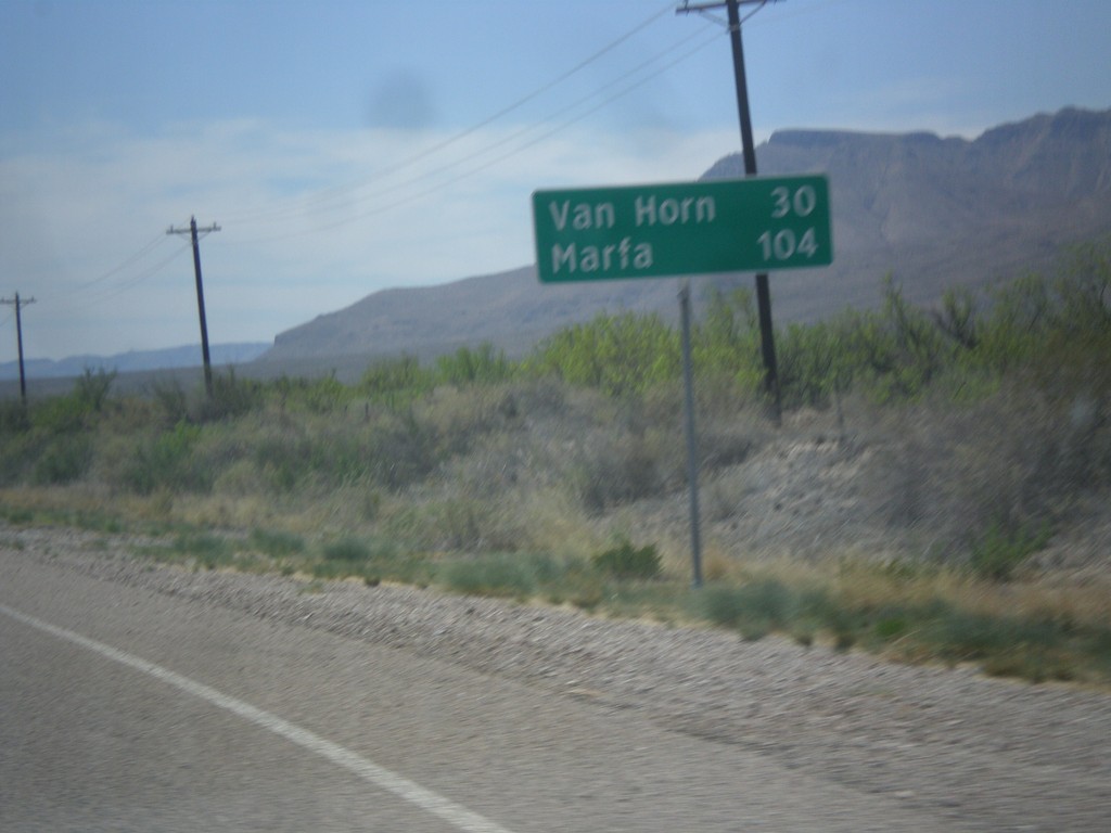
TX-54 South - Distance Marker
Distance marker on TX-54 south. Distance to Van Horn and Marfa (via US-90).
Taken 04-15-2013
Van Horn
Culberson County
Texas
United States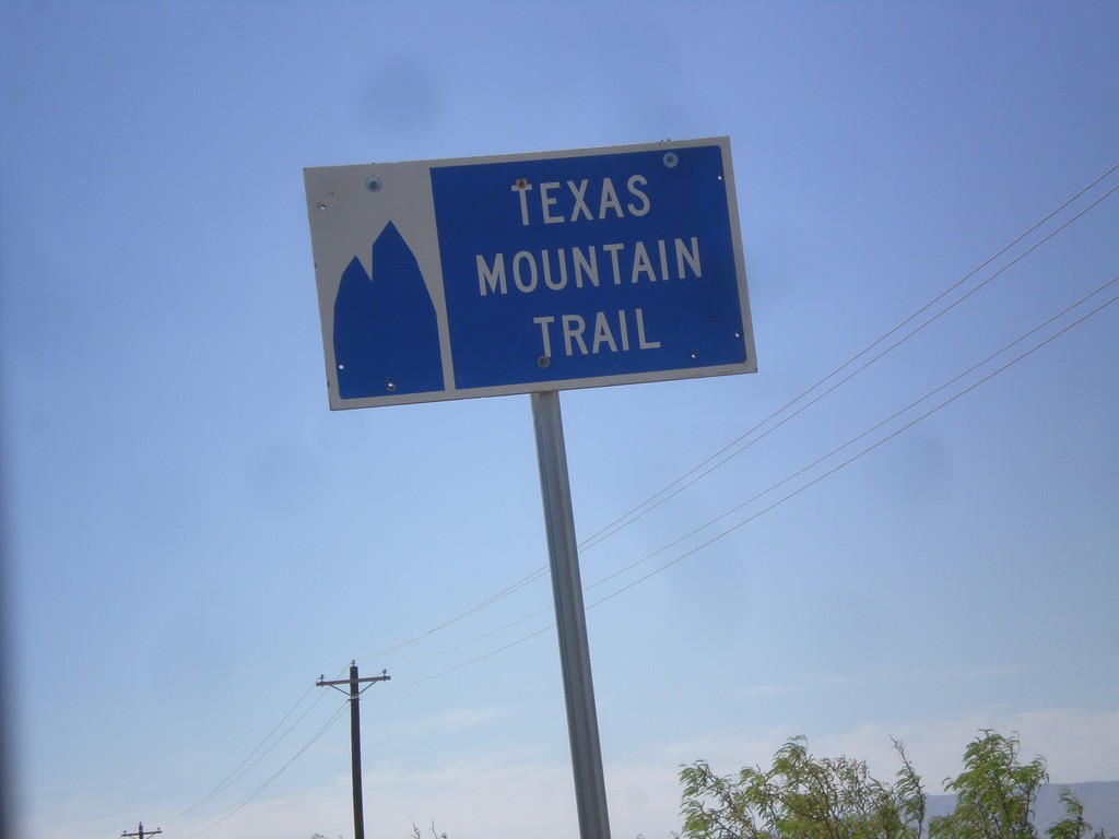
TX-54 South - Texas Mountain Trail
Texas Mountain Trail sign on TX-54 south. This part of Texas is the Texas Mountain Trail region, of the Texas Heritage Trails program.
Taken 04-15-2013
Van Horn
Culberson County
Texas
United States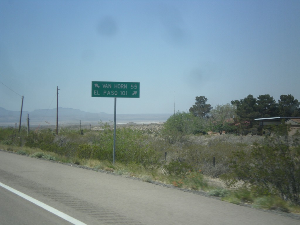
US-62/US-180 West at TX-54
US-62/US-180 west at TX-54 junction. Use TX-54 south for Van Horn; use US-62/US-180 west for El Paso.
Taken 04-15-2013

 Pine Springs
Culberson County
Texas
United States
Pine Springs
Culberson County
Texas
United States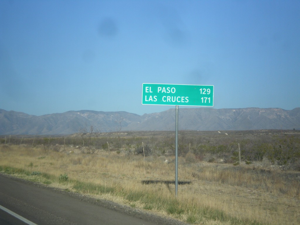
US-62/US-180 West - Distance Marker
Distance marker on US-62/US-180 west. Distance to El Paso and Las Cruces (NM). Taken just west of RM-652 and the Texas-New Mexico state line.
Taken 04-15-2013
Carlsbad
Culberson County
Texas
United States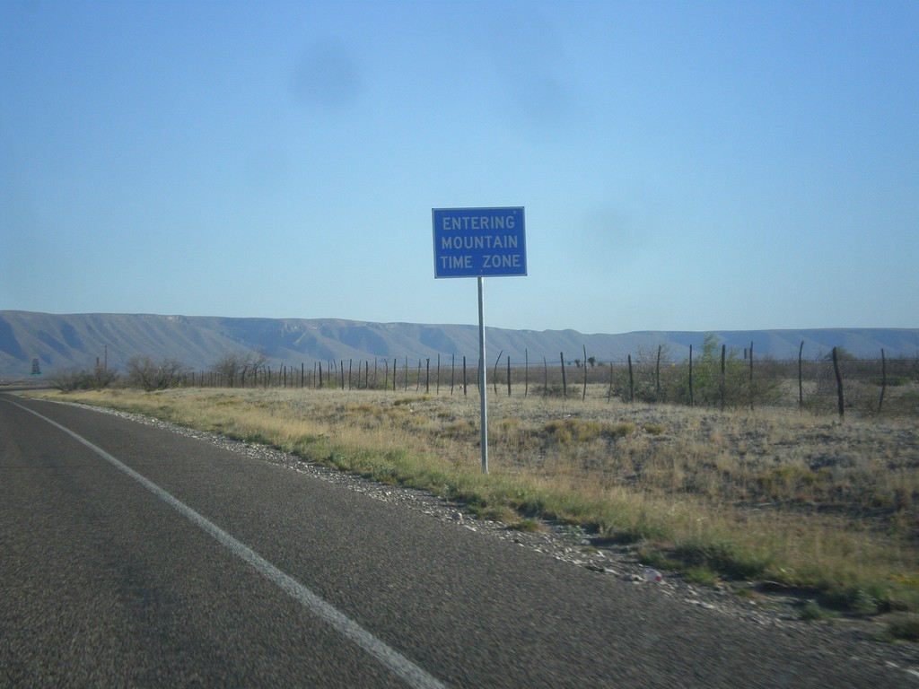
RM-652 - Mountain Time Zone
Entering Mountain Time Zone on RM-652 west.
Taken 04-15-2013
 Carlsbad
Culberson County
Texas
United States
Carlsbad
Culberson County
Texas
United States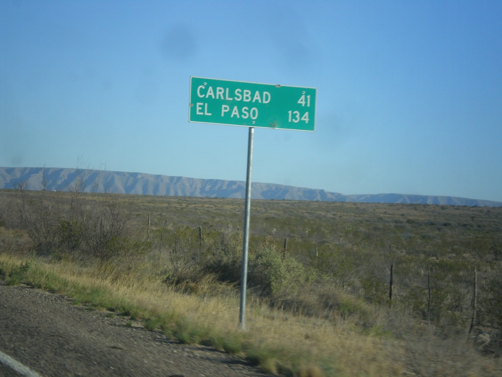
RM-652 West - Distance Marker
Distance marker on RM-652 west. Distance to Carlsbad (New Mexico) and El Paso.
Taken 04-15-2013
Carlsbad
Culberson County
Texas
United States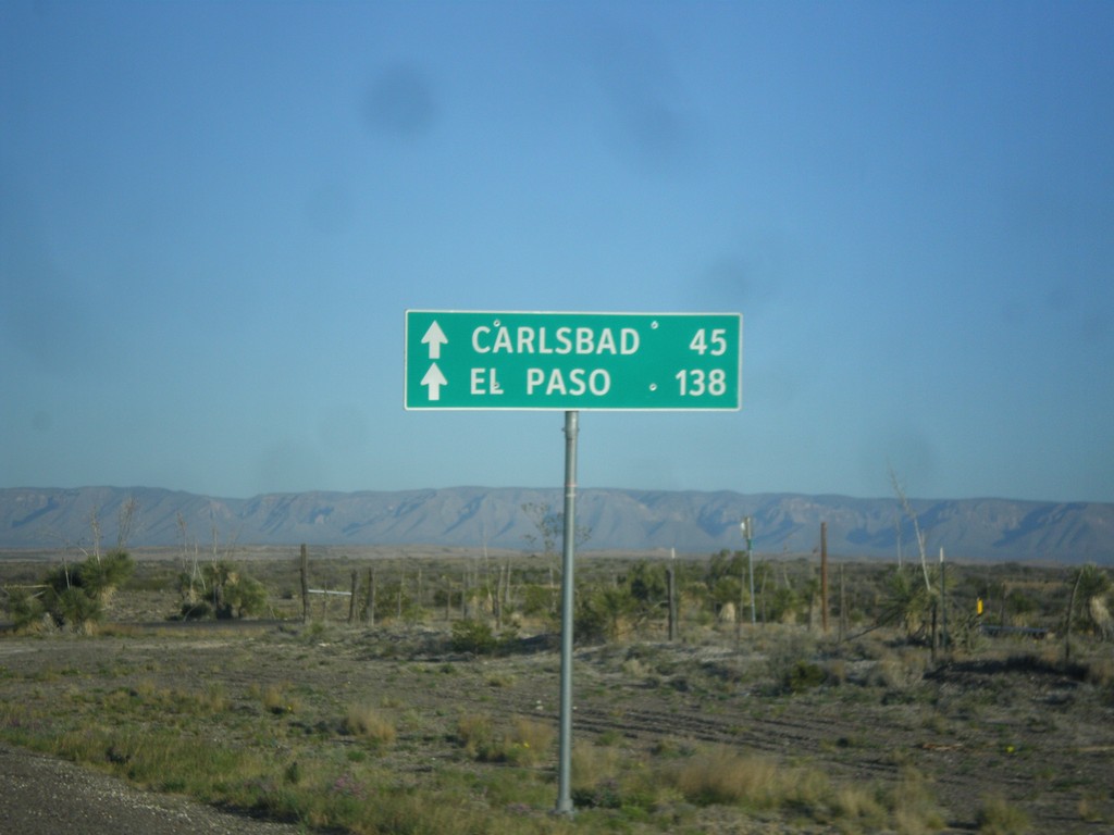
RM-652 West - Distance Marker
Distance marker on RM-652 east to Carlsbad (New Mexico) and El Paso.
Taken 04-15-2013
Carlsbad
Culberson County
Texas
United States