Signs Tagged With Big Green Sign
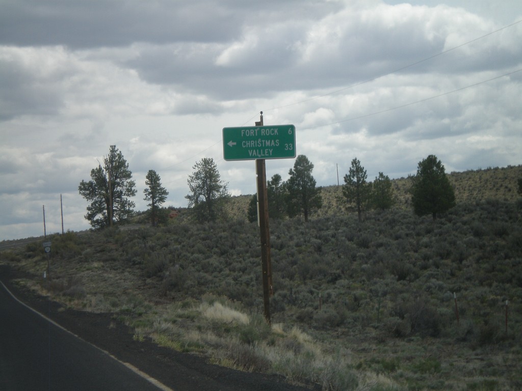
OR-31 South at Fort Rock Jct.
OR-31 south at Fort Rock/Christmas Valley Jct.
Taken 05-27-2012
 Fort Rock
Lake County
Oregon
United States
Fort Rock
Lake County
Oregon
United States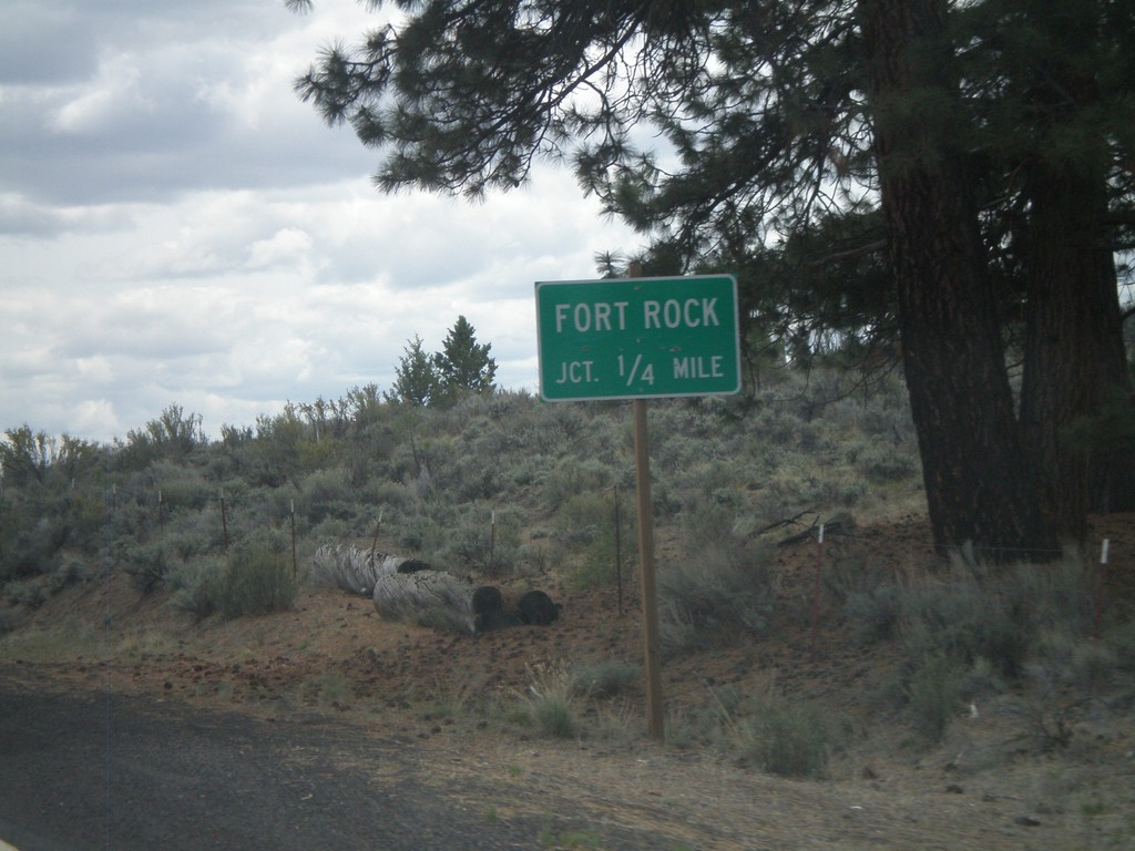
OR-31 South Approaching Fort Rock Jct.
OR-31 south approaching Fort Rock junction.
Taken 05-27-2012
Fort Rock
Lake County
Oregon
United States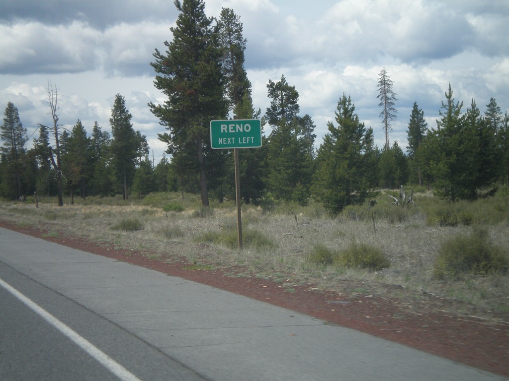
US-97 South Approaching OR-31
US-97 south approaching OR-31. Use OR-31 south for Reno (Nevada).
Taken 05-27-2012
 La Pine
Deschutes County
Oregon
United States
La Pine
Deschutes County
Oregon
United States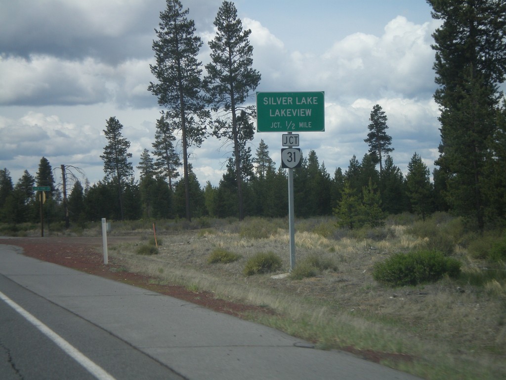
US-97 South Approaching OR-31
US-97 south approaching OR-31. Use OR-31 south for Silver Lake and Lakeview.
Taken 05-27-2012
La Pine
Deschutes County
Oregon
United States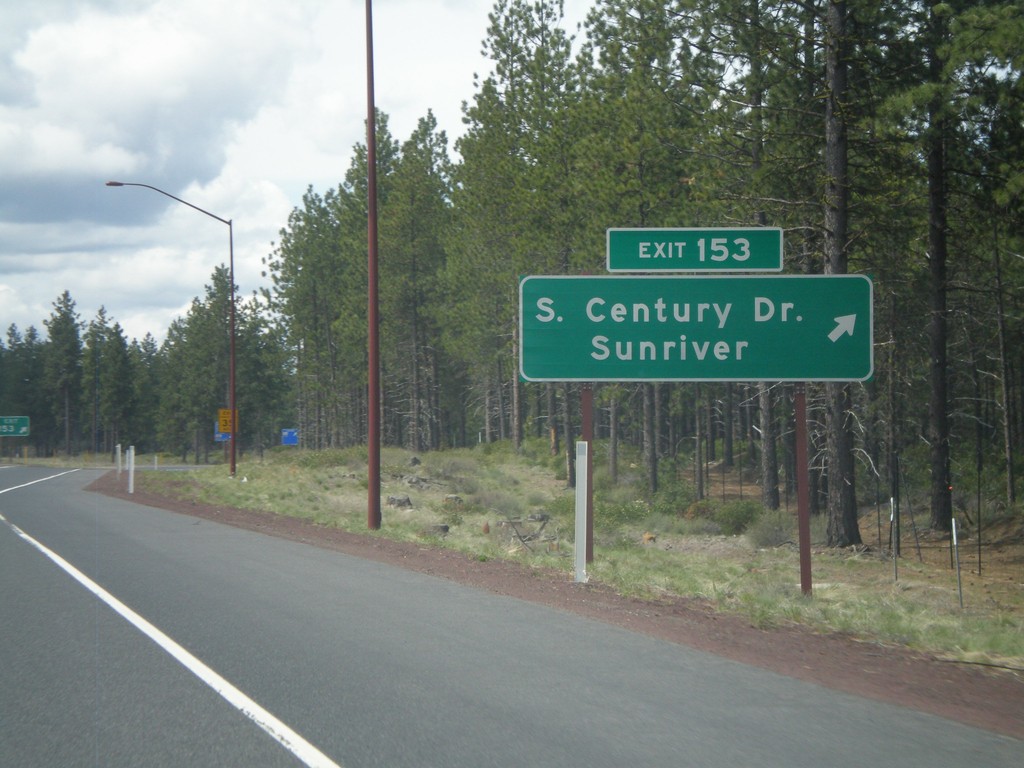
US-97 South - Exit 153
US-97 south at Exit 153 - Century Drive/Sunriver. This is the southern end of the divided highway which begins north of Redmond.
Taken 05-27-2012
Bend
Deschutes County
Oregon
United States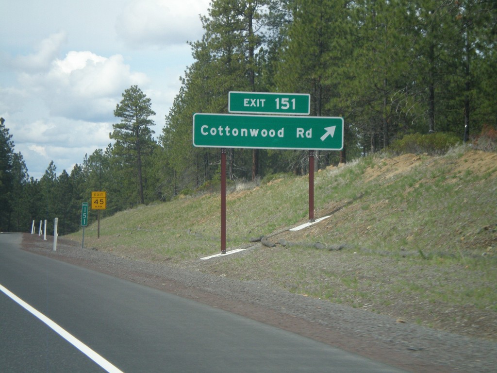
US-97 South - Exit 151
US-97 south at Exit 151 - Cottonwood Road.
Taken 05-27-2012
Bend
Deschutes County
Oregon
United States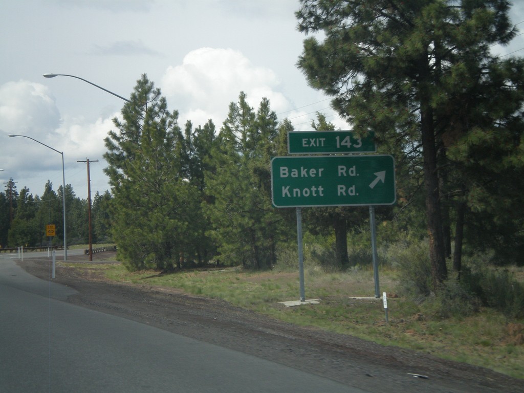
US-97 South - Exit 143
US-97 south at Exit 143 - Baker Road/Knott Road.
Taken 05-27-2012
Bend
Deschutes County
Oregon
United States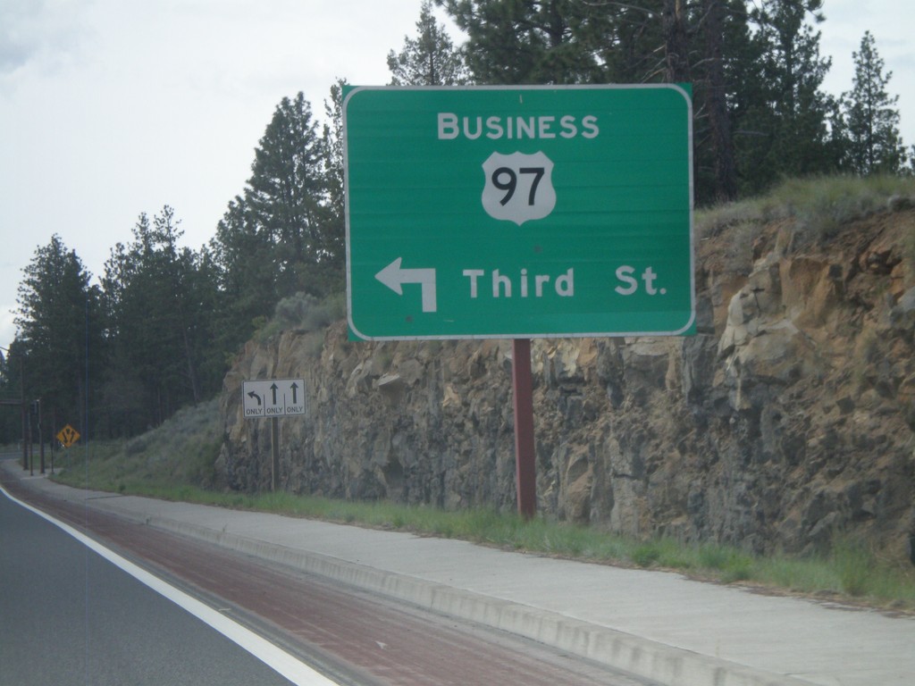
US-97 South at Bus. US-97 Jct.
US-97 South at Bus. US-97/Third St. junction. This is the southern end of the Bend, Oregon business loop, and also the southern end of the Bend Parkway section of US-97.
Taken 05-27-2012
 Bend
Deschutes County
Oregon
United States
Bend
Deschutes County
Oregon
United States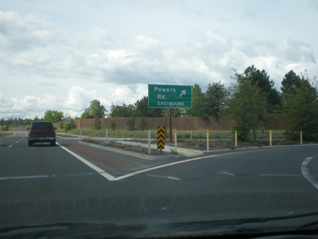
US-97 South at Powers Road Eastbound
US-97 south at Powers Road Eastbound junction.
Taken 05-27-2012
Bend
Deschutes County
Oregon
United States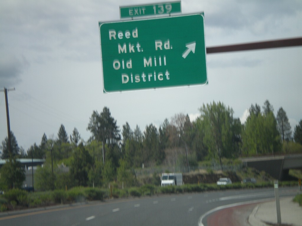
US-97 South - Exit 139
US-97 south at Exit 139 - Reed Market Road/Old Mill District.
Taken 05-27-2012
Bend
Deschutes County
Oregon
United States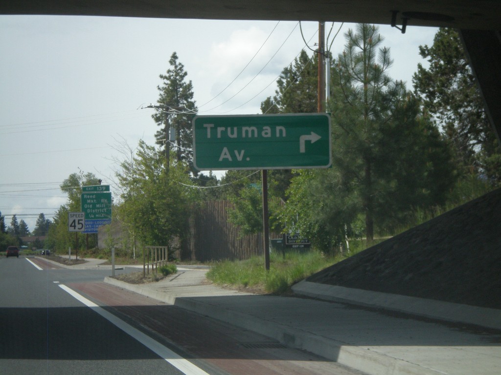
US-97 South at Truman Avenue
US-97 south at Truman Ave. intersection.
Taken 05-27-2012
Bend
Deschutes County
Oregon
United States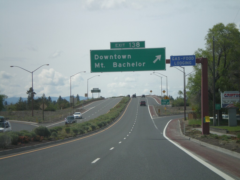
US-97 South - Exit 138
US-97 south at Exit 138 - Downtown/Mt. Bachelor.
Taken 05-27-2012
Bend
Deschutes County
Oregon
United States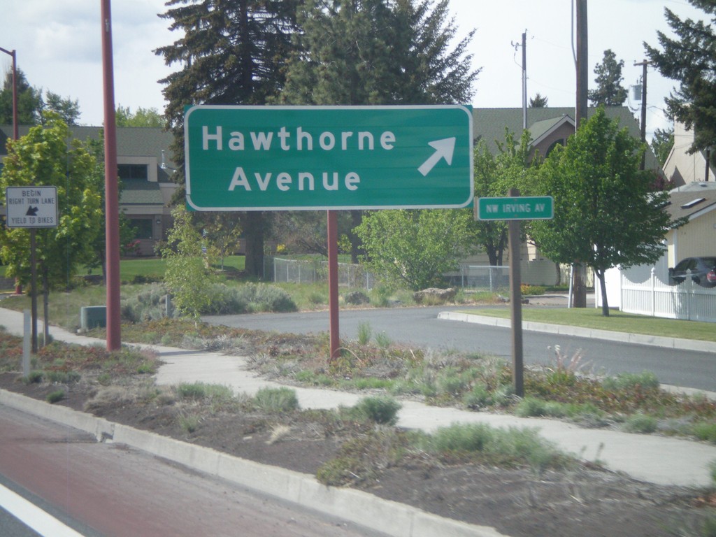
US-97 South - Hawthorne Ave.
US-97 south at Hawthorne Ave. junction.
Taken 05-27-2012
Bend
Deschutes County
Oregon
United States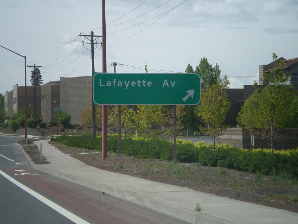
US-97 South - Lafayette Ave
US-97 south at Lafayette Ave. intersection.
Taken 05-27-2012
Bend
Deschutes County
Oregon
United States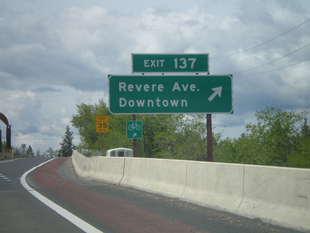
US-97 South - Exit 137
US-97 south at Exit 137 - Revere Ave./Downtown.
Taken 05-27-2012
Bend
Deschutes County
Oregon
United States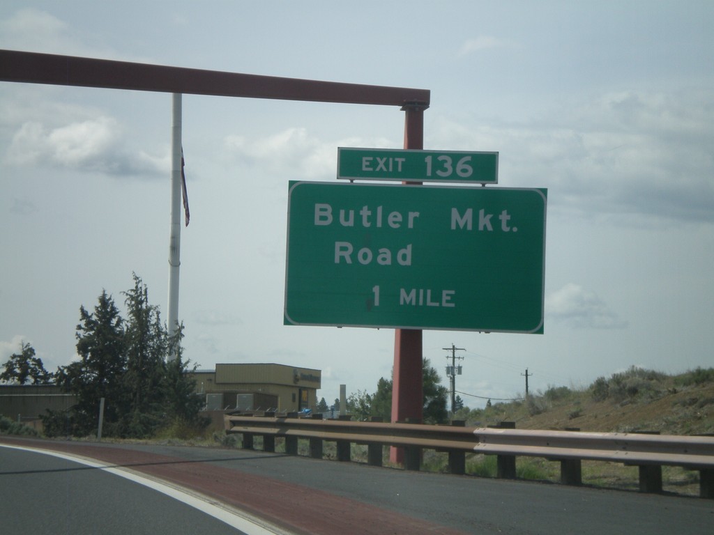
US-97 South Approaching Exit 136
US-97 south approaching Exit 136 - Butler Market Road.
Taken 05-27-2012
Bend
Deschutes County
Oregon
United States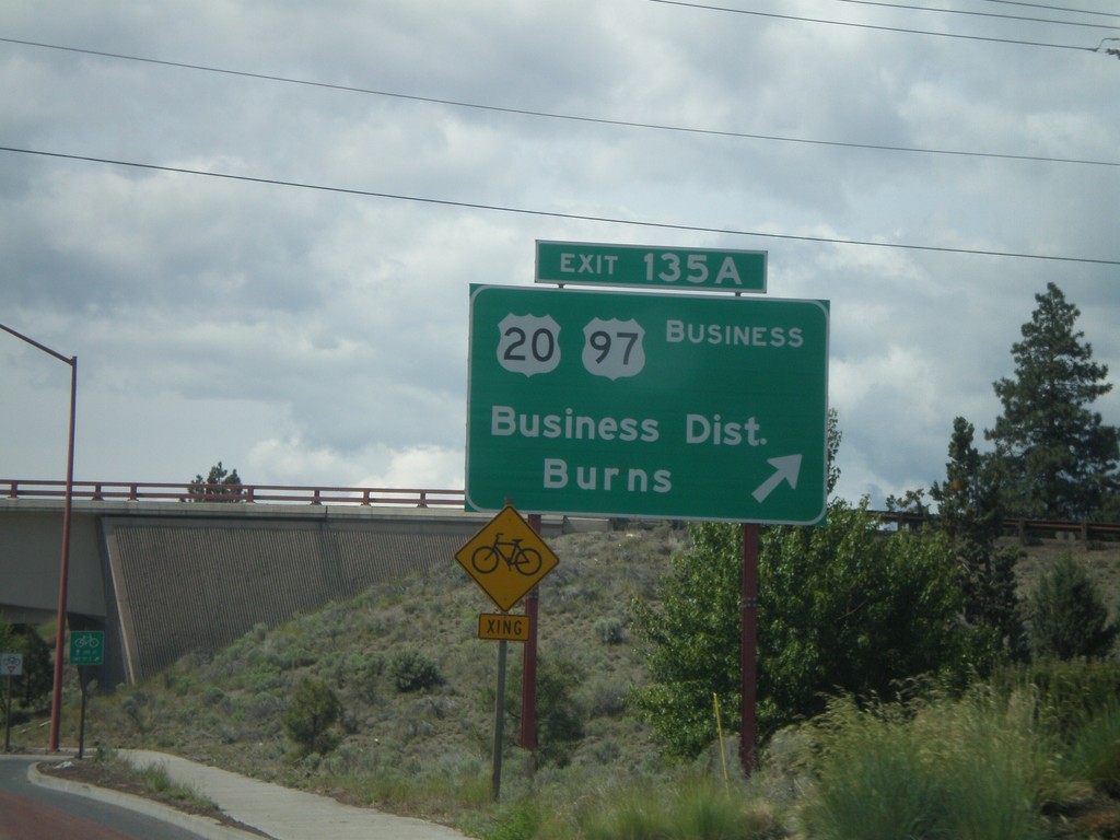
US-97 South - Exit 135A
US-97 south at Exit 135A - Business US-97/US-20/Business District/Burns.
Taken 05-27-2012
 Bend
Deschutes County
Oregon
United States
Bend
Deschutes County
Oregon
United States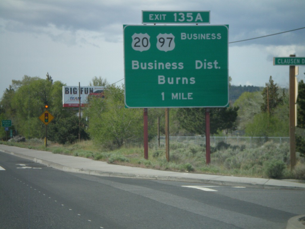
US-97 South Approaching Exit 135A
US-97 south approaching Exit 135A - US-20/Business District/Burns/Business US-97.
Taken 05-27-2012
Bend
Deschutes County
Oregon
United States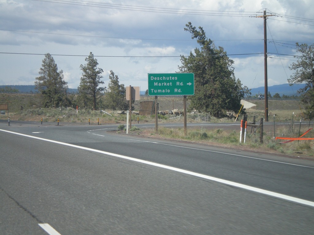
US-97 South at Tumalo Road Jct.
US-97 South at Tumalo Road/Deschutes Market Road junction.
Taken 05-27-2012
Bend
Deschutes County
Oregon
United States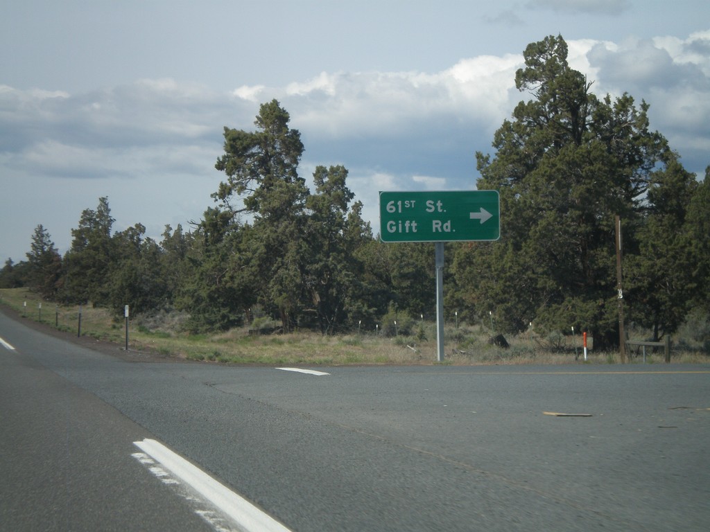
US-97 South At 61st St. Jct.
US-97 South At 61st St./Gift Road junction.
Taken 05-27-2012
Redmond
Deschutes County
Oregon
United States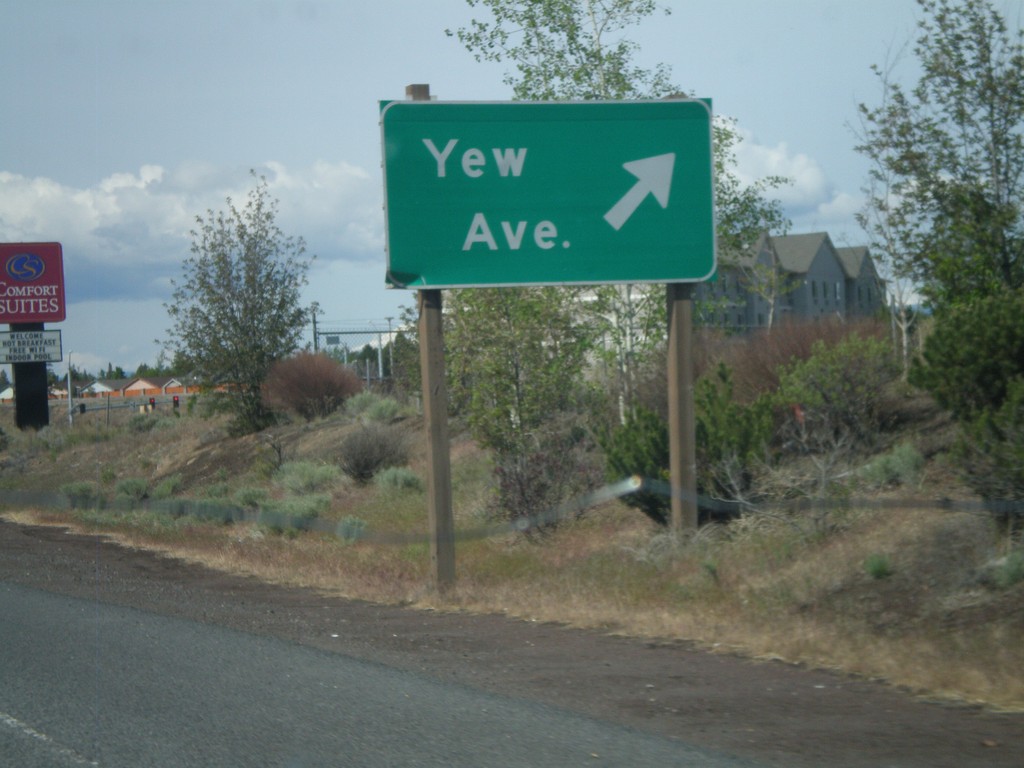
US-97 South at Yew Ave. IC
US-97 south at Yew Ave interchange.
Taken 05-27-2012
Redmond
Deschutes County
Oregon
United States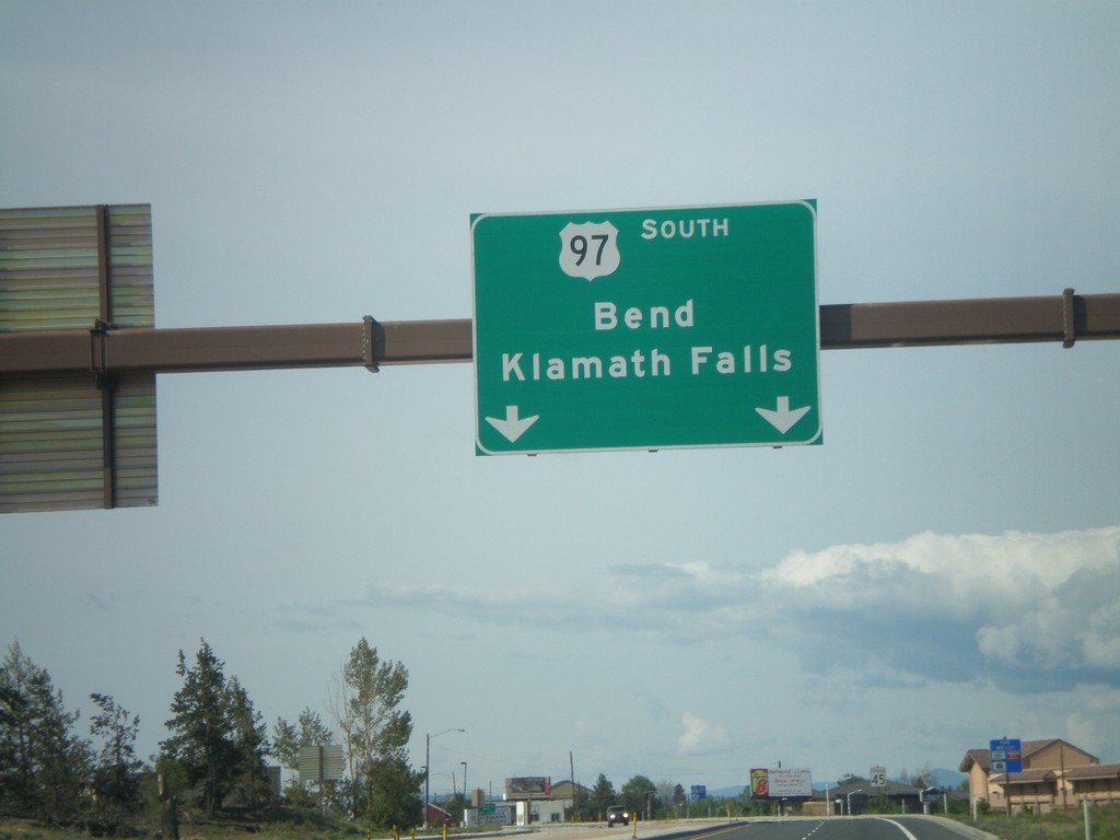
US-97 South - Overhead
US-97 south to Bend and Klamath Falls overhead.
Taken 05-27-2012
Redmond
Deschutes County
Oregon
United States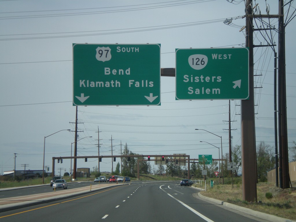
US-97 South at OR-126 West
US-97 south at OR-126 west to Sisters and Salem. US-97 continues south towards Bend and Klamath Falls.
Taken 05-27-2012
 Redmond
Deschutes County
Oregon
United States
Redmond
Deschutes County
Oregon
United States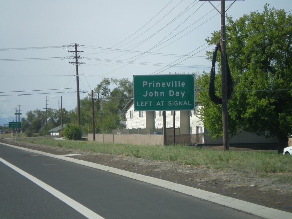
US-97 South Approaching OR-126 East
US-97 South approaching OR-126 East (Evergreen Ave.) Use OR-126 east for Prineville and John Day.
Taken 05-27-2012
Redmond
Deschutes County
Oregon
United States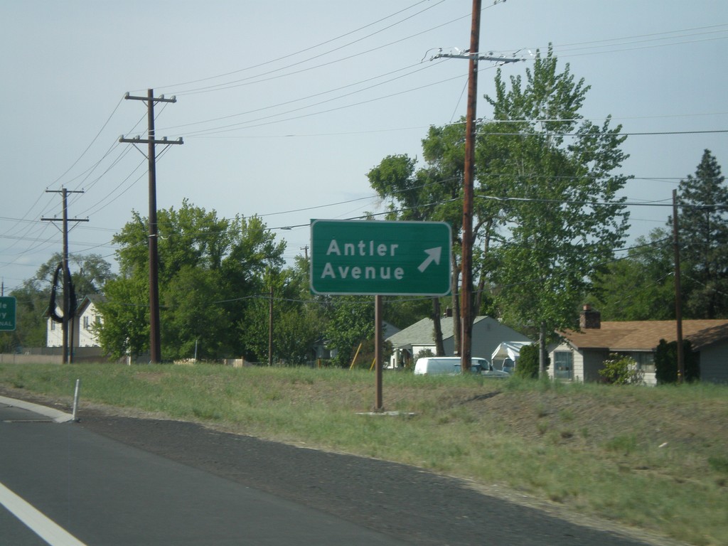
US-97 South at Antler Ave
US-97 south at Antler Ave junction.
Taken 05-27-2012
Redmond
Deschutes County
Oregon
United States