Signs Tagged With Big Green Sign
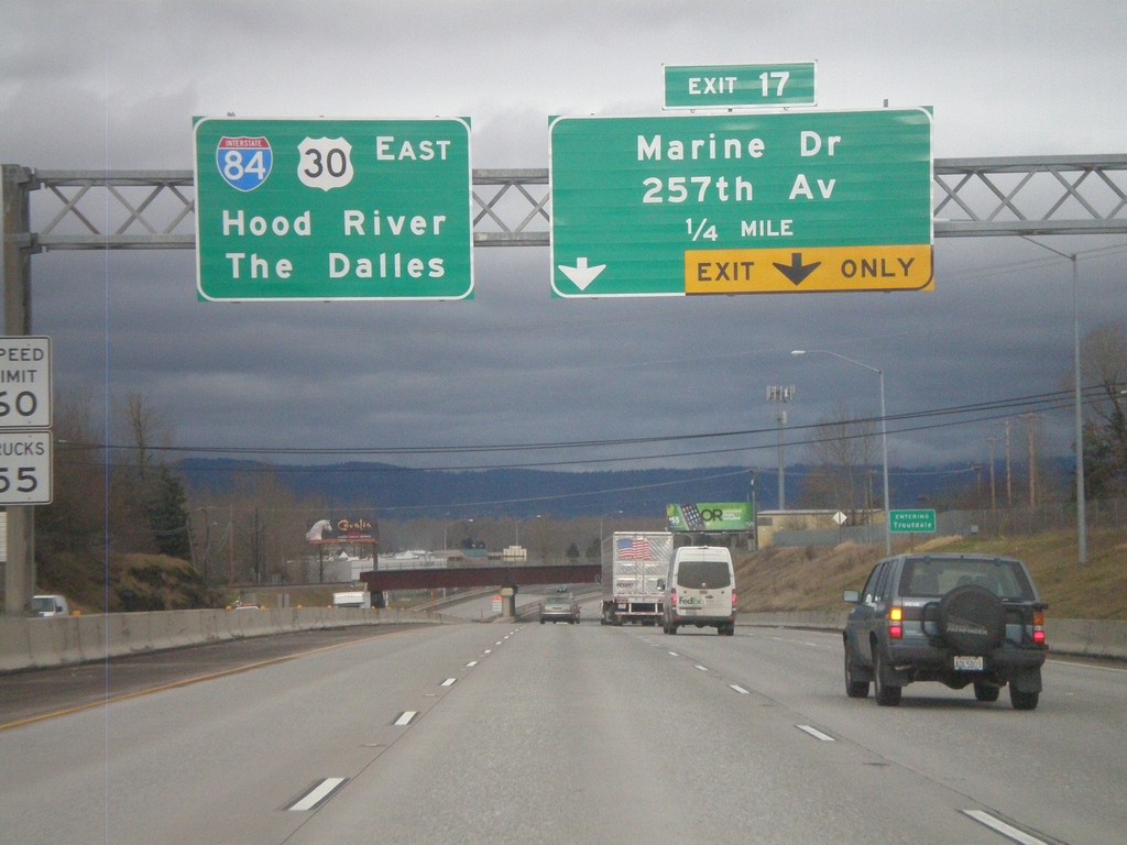
I-84 East Approaching Exit 17
I-84 east approaching Exit 17 - Marine Drive/257th Ave. Continue east on I-84/US-30 for The Dalles and Hood River.
Taken 02-21-2012

 Troutdale
Multnomah County
Oregon
United States
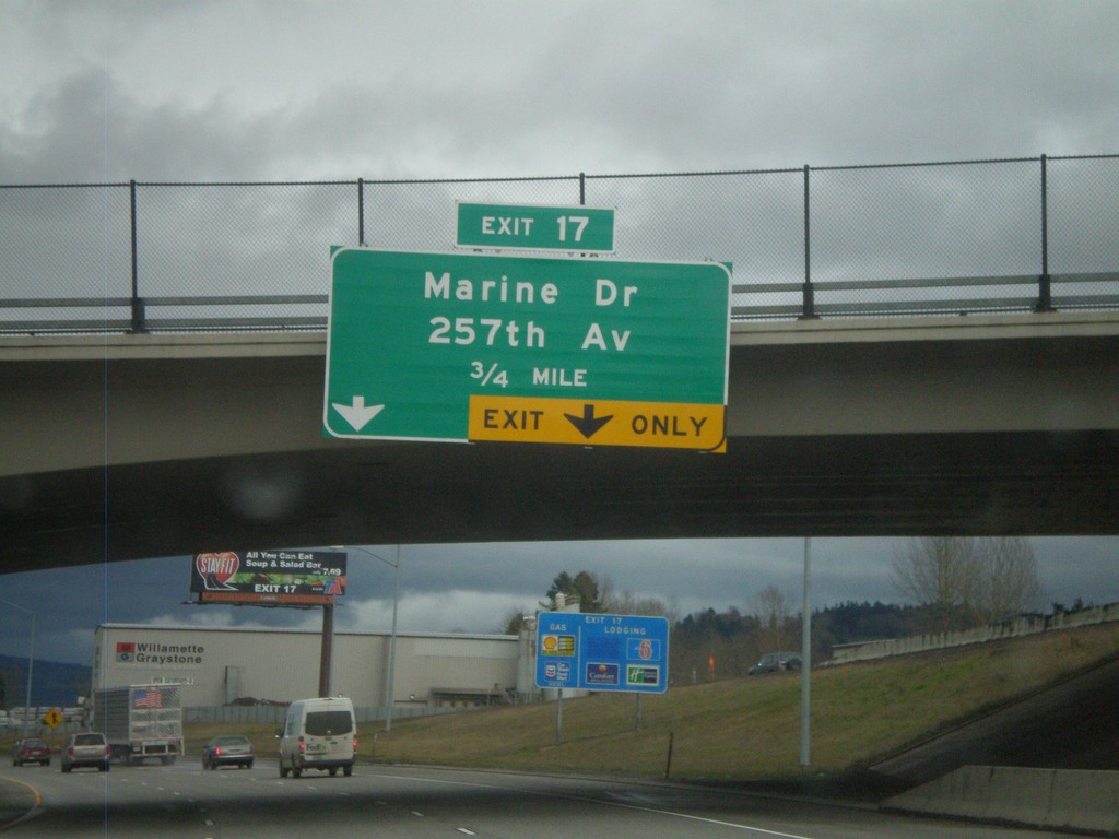
I-84 East Approaching Exit 17
I-84 east approaching Exit 17 - Marine Drive/257th Ave.
Taken 02-21-2012

 Troutdale
Multnomah County
Oregon
United States
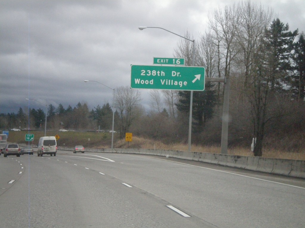
I-84 East - Exit 16
I-84 east at Exit 16 - 238th Drive/Wood Village.
Taken 02-21-2012

 Fairview
Multnomah County
Oregon
United States
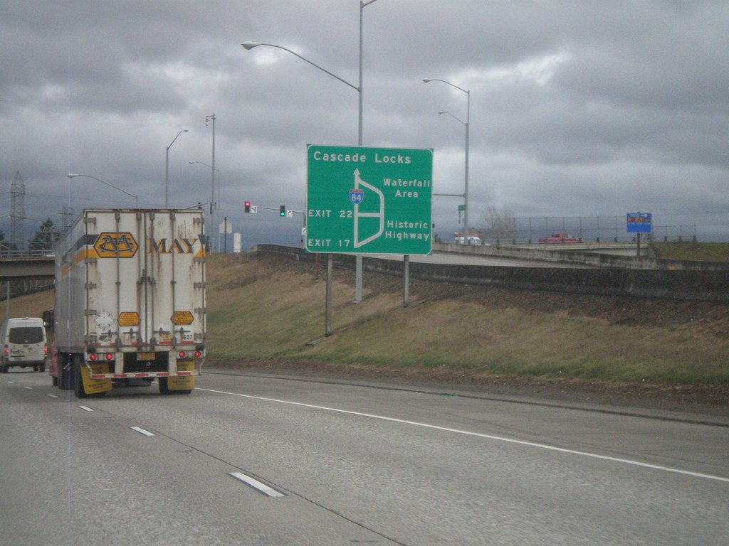
I-84/US-30 East - Historic Columbia River Highway Diagram
Route diagram for the Historic Columbia River Highway on I-84/US-30 East. Use Exit 17 (last Portland Metro. Area exit) on I-84/US-30 East for the Historic Highway. The Historic Columbia River Highway and I-84/US-30 rejoin before Cascade Locks.
Taken 02-21-2012

 Fairview
Multnomah County
Oregon
United States
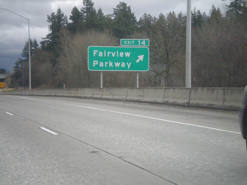
I-84 East - Exit 14
I-84/US-30 east at Exit 14 - Fairview Parkway.
Taken 02-21-2012

 Fairview
Multnomah County
Oregon
United States
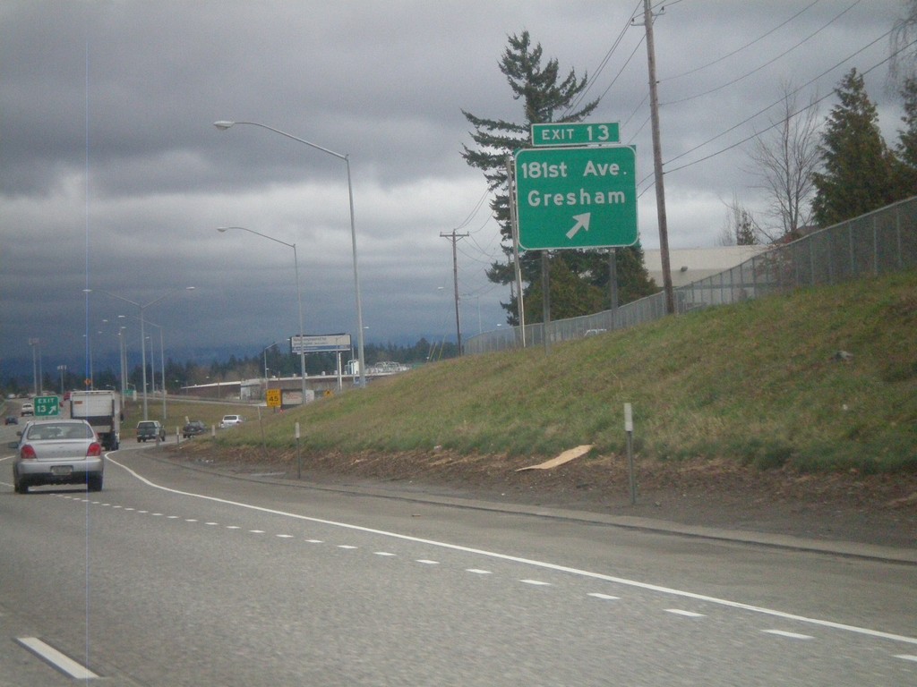
I-84 East - Exit 13
I-84/US-30 East at Exit 13 - 181st Ave./Gresham.
Taken 02-21-2012

 Portland
Multnomah County
Oregon
United States
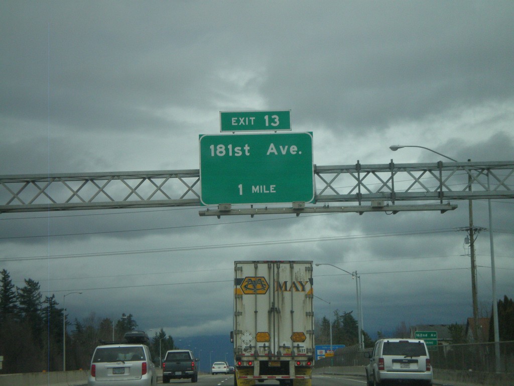
I-84 East Approaching Exit 13
I-84/US-30 East approaching Exit 13 - 181st Ave.
Taken 02-21-2012

 Portland
Multnomah County
Oregon
United States
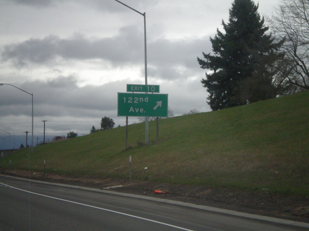
I-84 East - Exit 10
I-84 east at Exit 10 - 122nd Ave.
Taken 02-21-2012

 Portland
Multnomah County
Oregon
United States
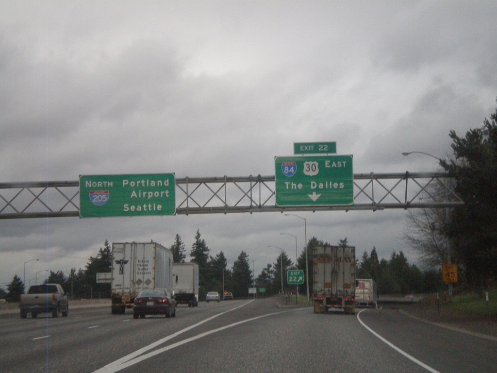
I-205 North - Exit 22
I-205 north at Exit 22 - I-84/US-30 East/The Dalles. I-205 continues north to Portland Airport and Seattle.
Taken 02-21-2012


 Portland
Multnomah County
Oregon
United States
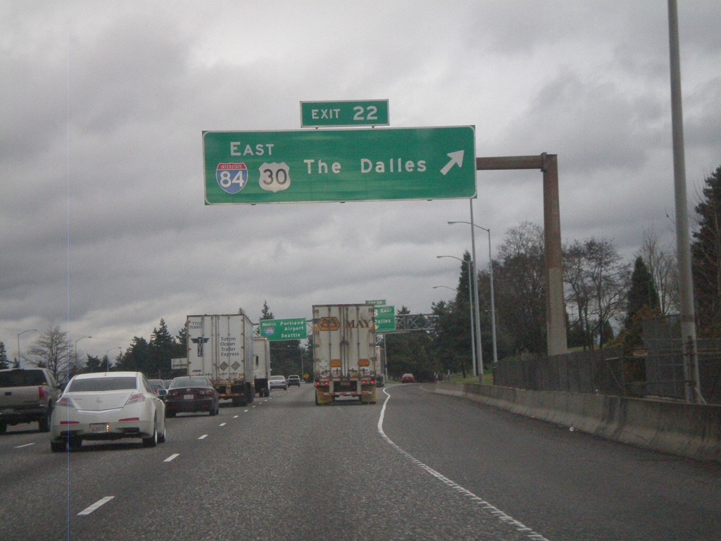
I-205 North - Exit 22
I-205 North at Exit 22 - I-84/US-30 East/The Dalles.
Taken 02-21-2012


 Portland
Multnomah County
Oregon
United States
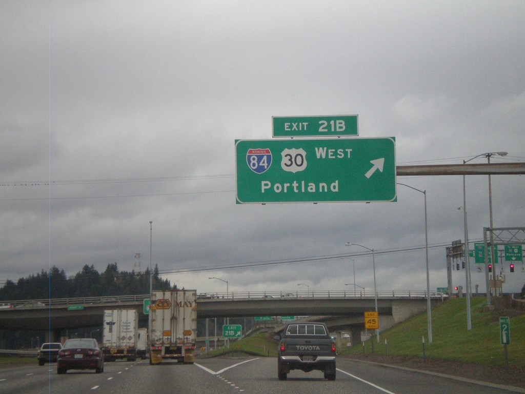
I-205 North - Exit 21B
I-205 north at Exit 21B - I-84/US-30 West/Portland.
Taken 02-21-2012


 Portland
Multnomah County
Oregon
United States
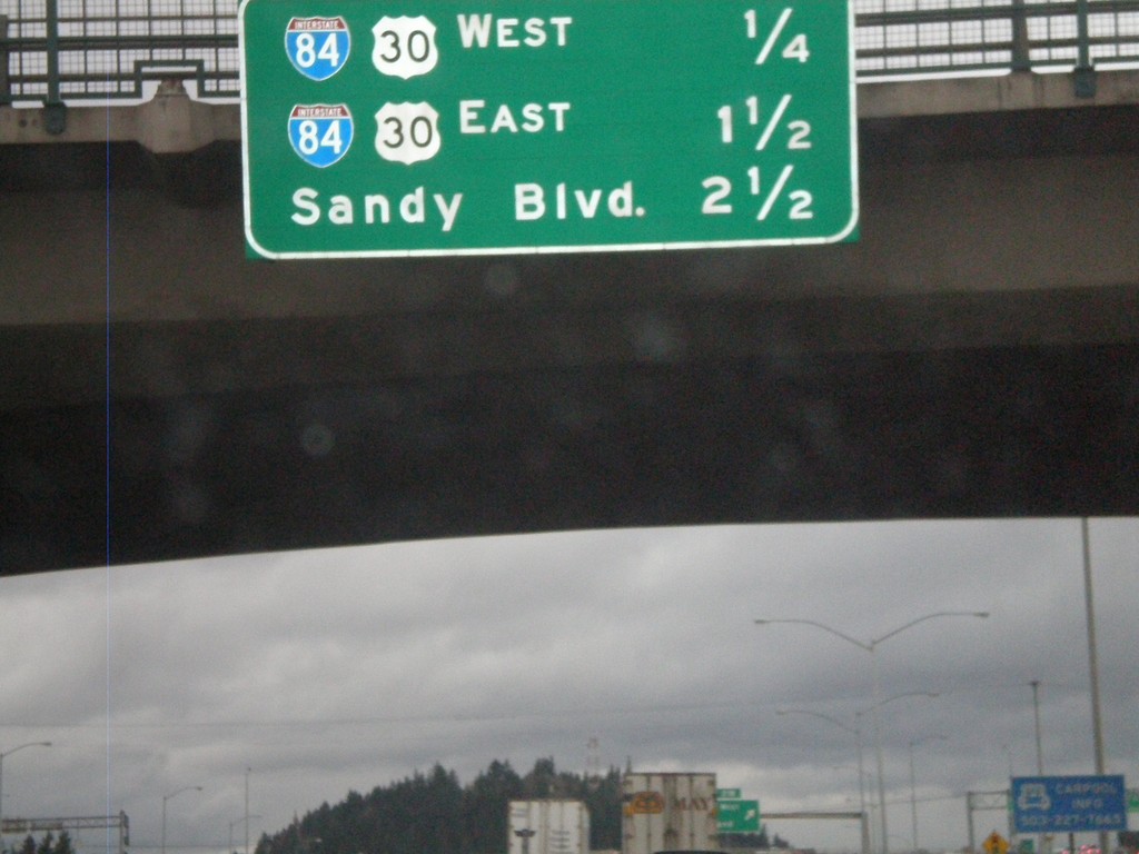
I-205 North - Distance Marker
Distance marker on I-205 north to the next three interchanges on I-205 north. Distance to I-84/US-30 West, I-84/US-30 East, and Sandy Blvd.
Taken 02-21-2012
 Portland
Multnomah County
Oregon
United States
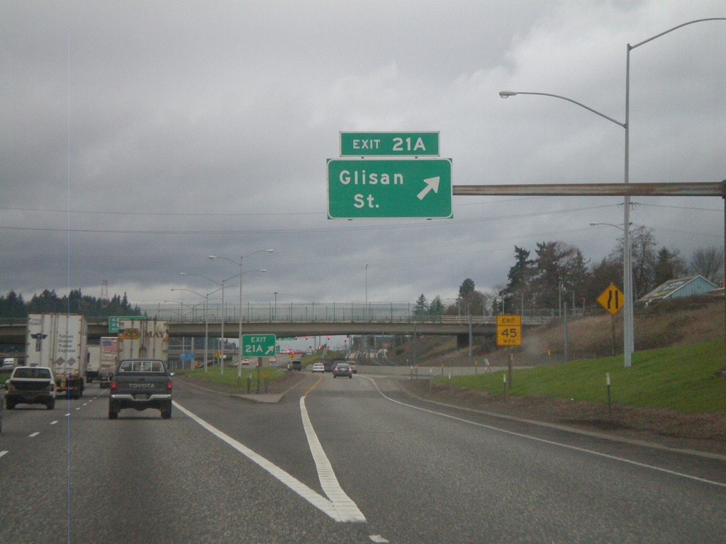
I-205 North - Exit 21B
I-205 north at Exit 21B - Glisan St.
Taken 02-21-2012
 Portland
Multnomah County
Oregon
United States
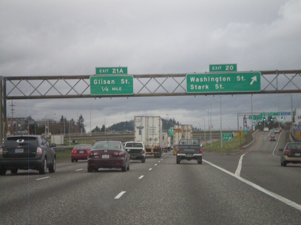
I-205 North - Exits 20 and 21A
I-205 north approaching Exit 20 - Washington St./Stark St. Approaching Exit 21A - Glisan St.
Taken 02-21-2012
 Portland
Multnomah County
Oregon
United States
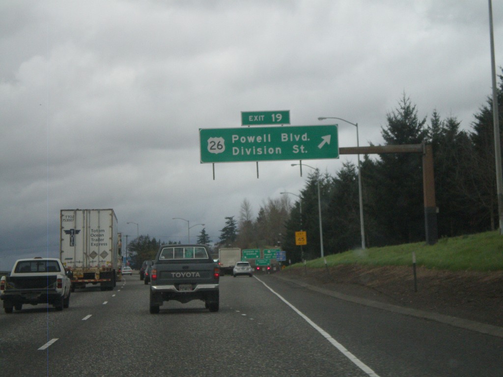
I-205 North - Exit 19
I-205 north at Exit 19 - US-26/Powell Blvd./Division St.
Taken 02-21-2012

 Portland
Multnomah County
Oregon
United States
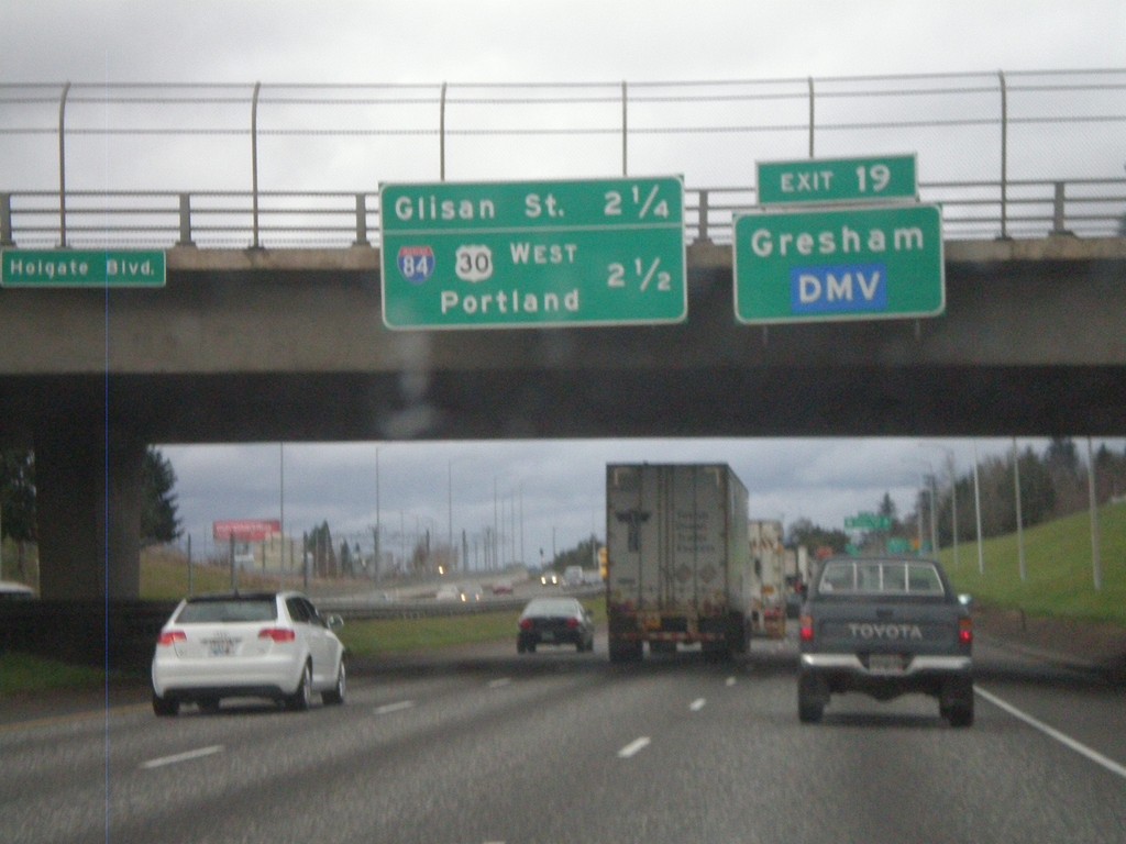
I-205 North - Exit 19 and Next Exits
I-205 north approaching Exit 9 - US-26/Powell St./Division St. Use Exit 19 for Gresham and the DMV. Distance marker for two approaching Exits - Glisan St. (Exit 21A) and I-84/US-30 West/Portland (Exit 21B).
Taken 02-21-2012

 Portland
Multnomah County
Oregon
United States
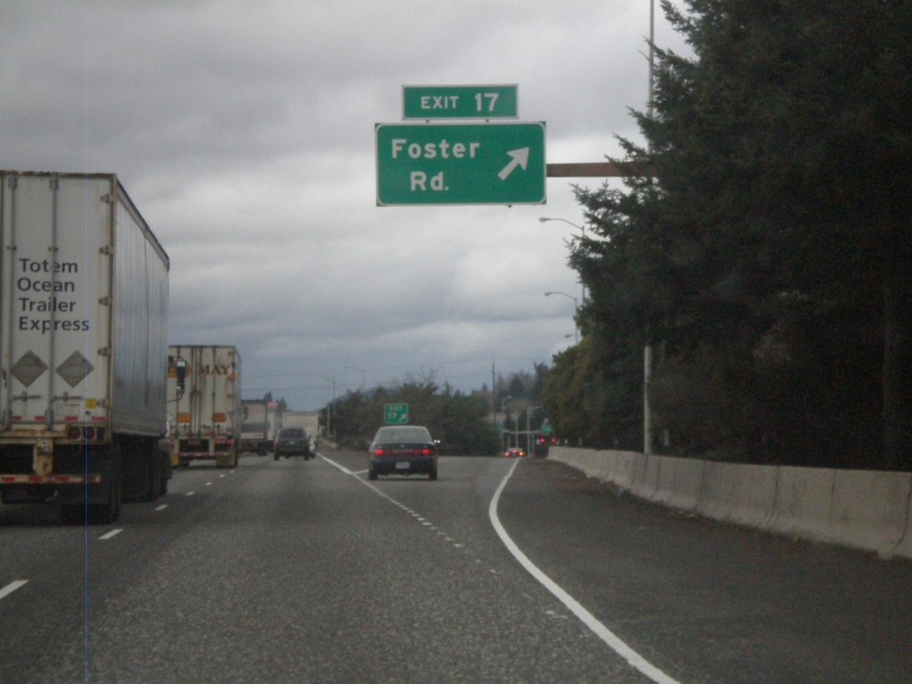
I-205 North - Exit 17
I-205 north at Exit 17 - Foster Road.
Taken 02-21-2012
 Portland
Multnomah County
Oregon
United States
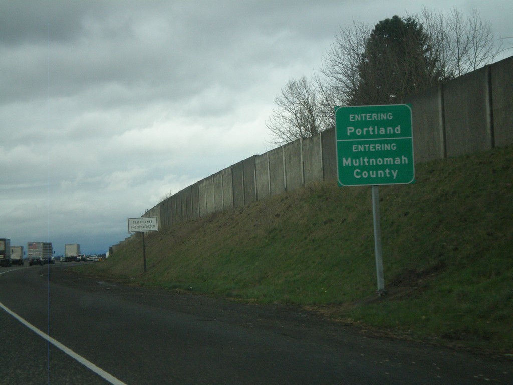
I-205 North - Entering Portland and Multnomah County
Entering Portland on I-205 North. Also entering Multnomah County.
Taken 02-21-2012
 Portland
Multnomah County
Oregon
United States
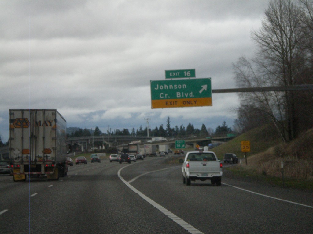
I-205 North - Exit 16
I-205 north at Exit 16 - Johnson Creek Blvd.
Taken 02-21-2012
 Happy Valley
Clackamas County
Oregon
United States
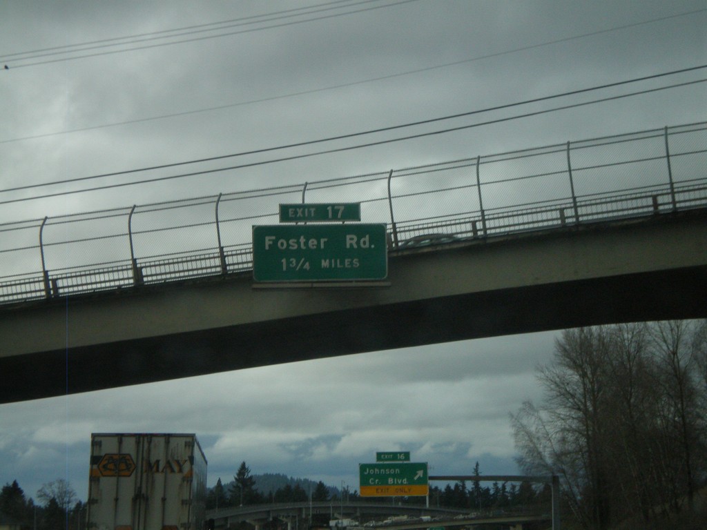
I-205 North Approaching Exit 17
I-205 North approaching Exit 17 - Foster Road.
Taken 02-21-2012
 Happy Valley
Clackamas County
Oregon
United States
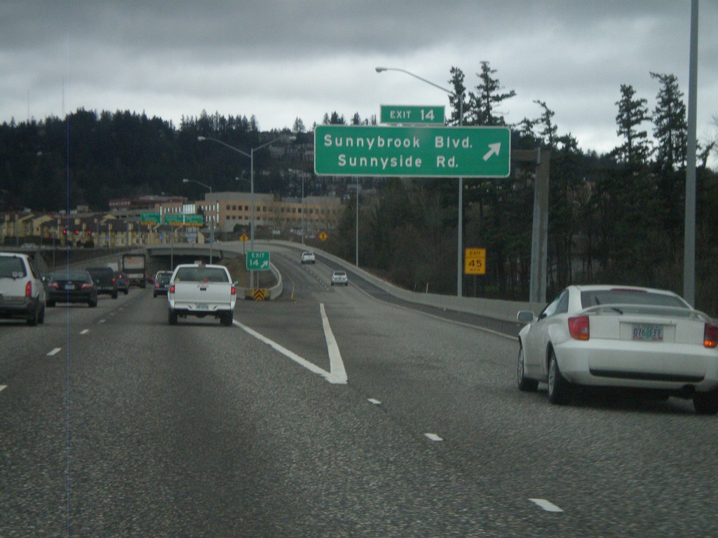
I-205 North - Exit 14
I-205 north at Exit 14 - Sunnybrook Blvd./Sunnyside Road.
Taken 02-21-2012
 Clackamas
 County
Oregon
United States
Clackamas
Clackamas County
Oregon
United States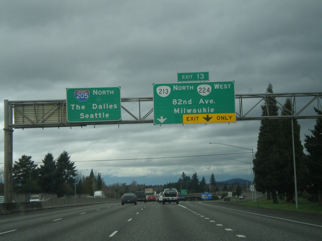
I-205 North - Exit 13
I-205 north at Exit 13 - OR-213/OR-224/82nd Ave/Milwaukee. Continue north on I-205 for The Dalles (via I-84) and Seattle.
Taken 02-21-2012


 Clackamas
 County
Oregon
United States
Clackamas
Clackamas County
Oregon
United States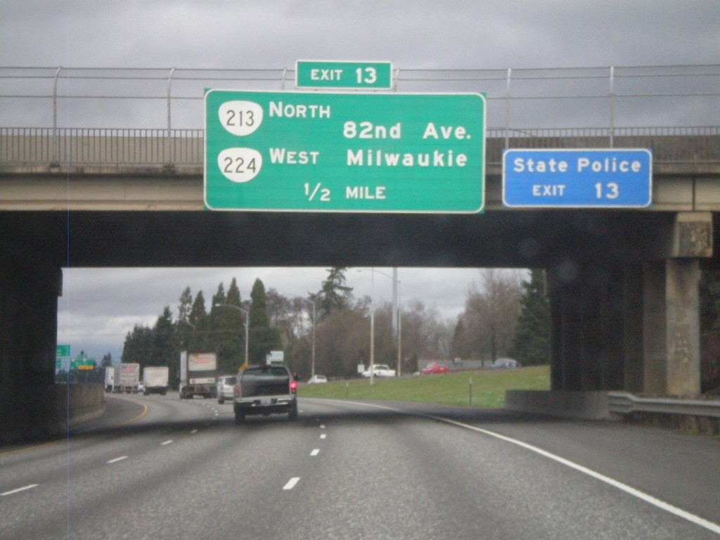
I-205 North Approaching Exit 13
I-205 North approaching Exit 13 - OR-213 North/OR-224 West/82nd Ave./Milwaukie.
Taken 02-21-2012


 Clackamas
 County
Oregon
United States
Clackamas
Clackamas County
Oregon
United States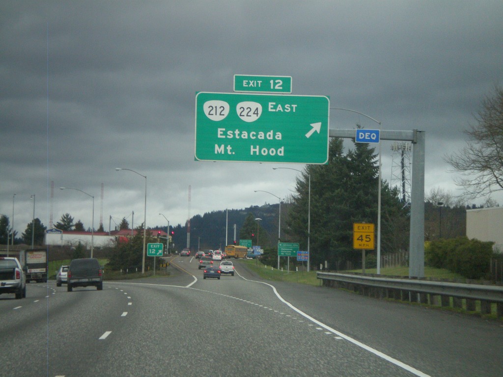
I-205 North - Exit 12
I-205 north at Exit 12 - OR-212/OR-224 East/Estacada/Mt. Hood.
Taken 02-21-2012


 Clackamas
 County
Oregon
United States
Clackamas
Clackamas County
Oregon
United States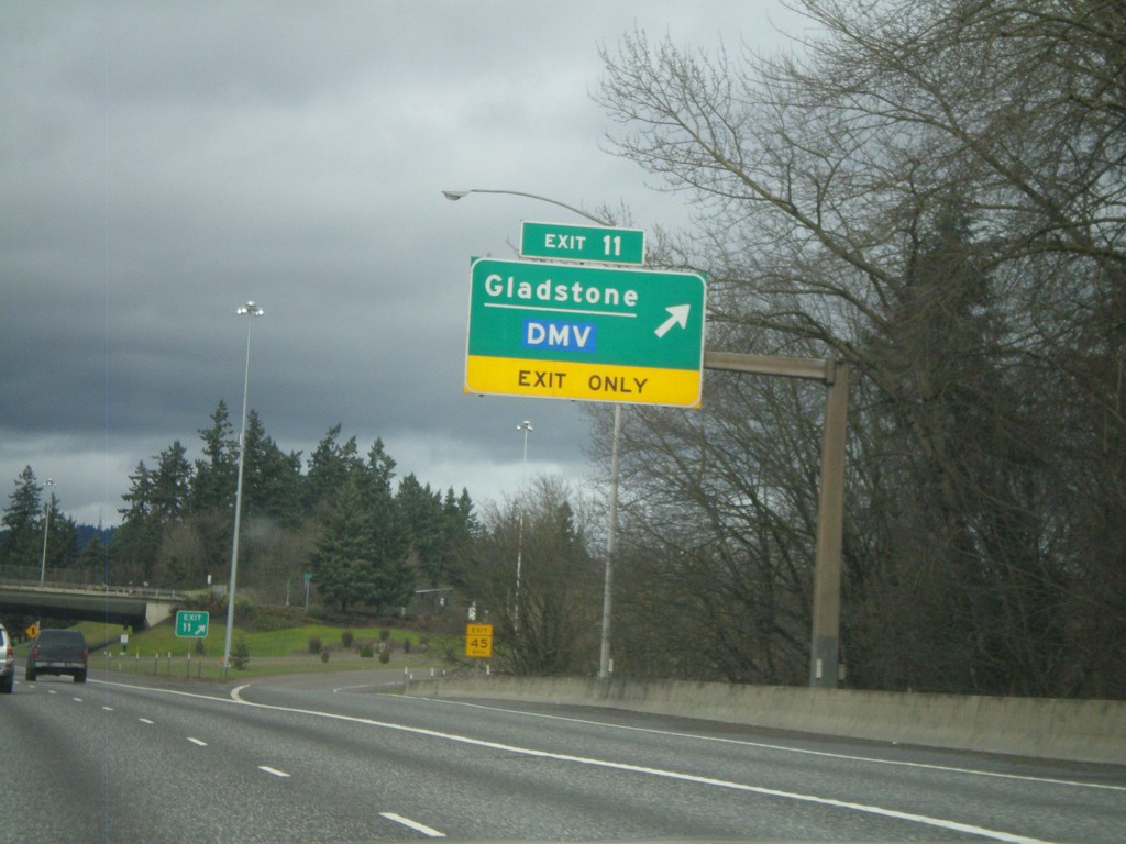
I-205 North - Exit 11
I-205 north at Exit 11 - Gladstone/DMV.
Taken 02-21-2012

 Gladstone
Clackamas County
Oregon
United States