Signs Tagged With Big Green Sign
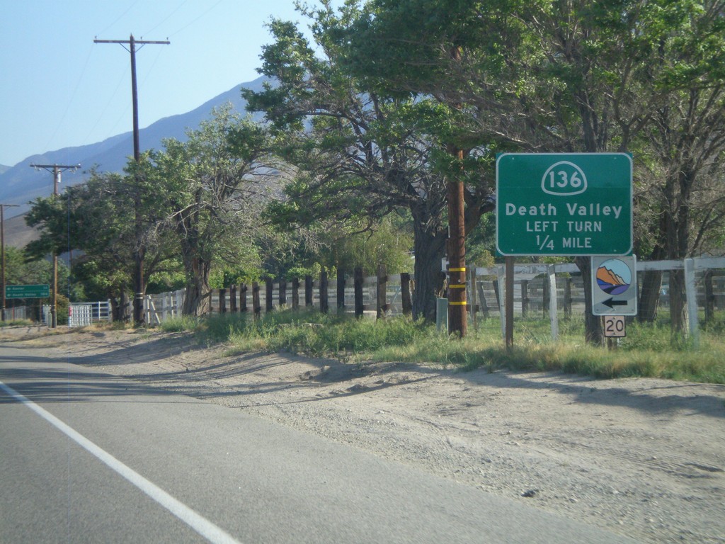
US-395 South Approaching CA-136
US-395 south approaching CA-136 junction. Use CA-136 east to Death Valley.
Taken 05-04-2012

 Lone Pine
Inyo County
California
United States
Lone Pine
Inyo County
California
United States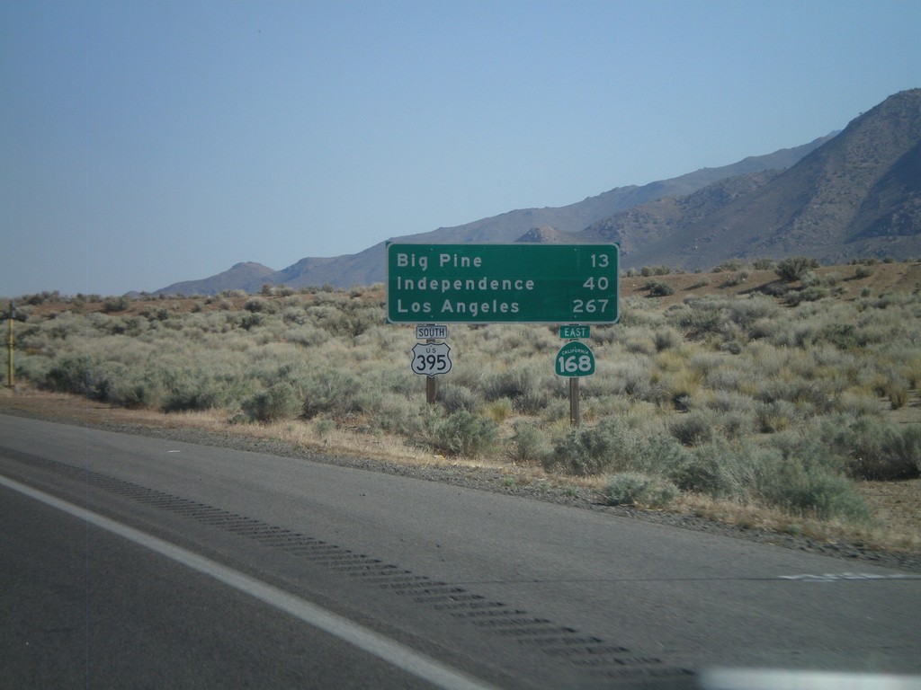
US-395 South/CA-168 East - Distance Marker
Distance marker on US-395 South/CA-168 East. Distance to Big Pine, Independence, and Los Angeles.
Taken 05-04-2012
 West Bishop
Inyo County
California
United States
West Bishop
Inyo County
California
United States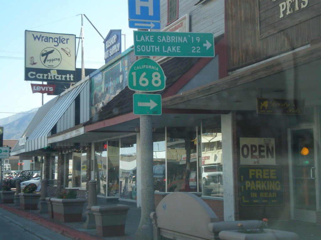
US-395 South at CA-168 West
US-395 South at CA-168 West to Lake Sabrina and South Lake. CA-168 east joins US-395 south to Big Pine.
Taken 05-04-2012
Bishop
Inyo County
California
United States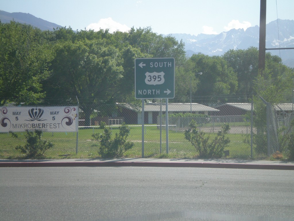
End US-6 West at US-395
End US-6 west at US-395. Use US-395 north for Reno (Nevada); US-395 south for Los Angeles. US-6 begins in Provincetown, Massachusetts.
Taken 05-04-2012
 Bishop
Inyo County
California
United States
Bishop
Inyo County
California
United States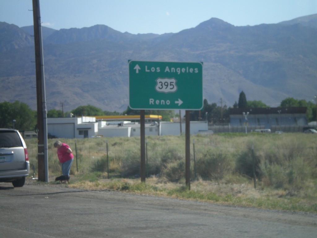
US-6 West Approaching US-395
Approaching western end of US-6 at US-395 junction. Turn right for US-395 north towards Reno (Nevada). Continue ahead for US-395 south towards Los Angeles.
Taken 05-04-2012
Bishop
Inyo County
California
United States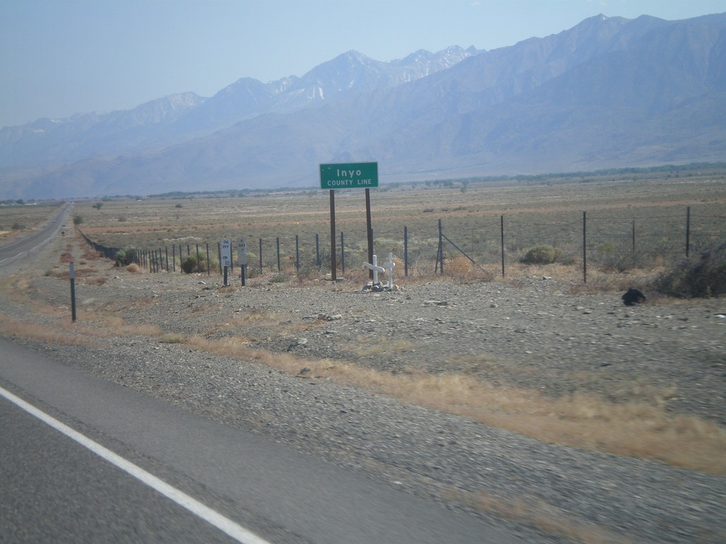
US-6 West - Inyo County Line
Inyo County Line on US-6 west. Taken at the Mono-Inyo county line.
Taken 05-04-2012
Bishop
Inyo County
California
United States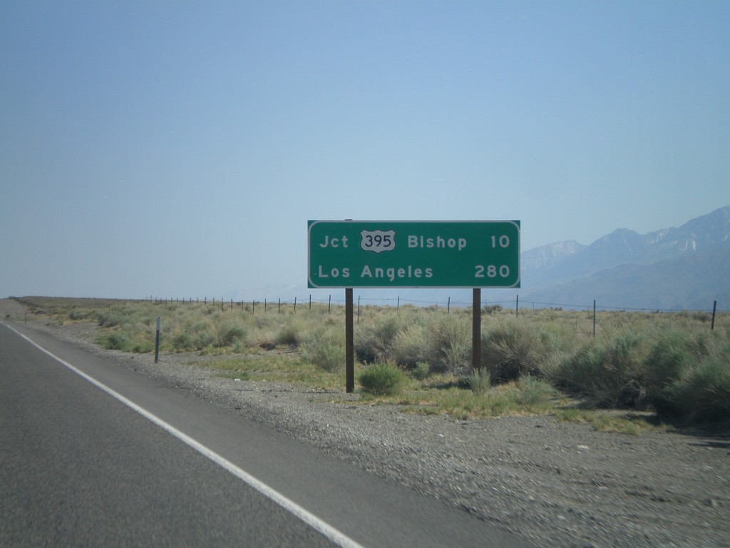
US-6 West - Distance Marker
Distance marker on US-6 west. Distances to Jct. US-395 - Bishop, and Los Angeles.
Taken 05-04-2012
Bishop
Mono County
California
United States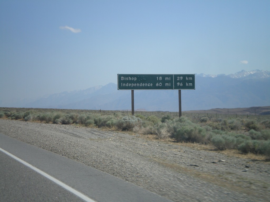
US-6 West - Distance Marker
Distance marker on US-6 west. Distance to Bishop and Independence. This is an older style distance marker which lists distances in miles and kilometers. These dual unit signs are scattered around California, although they tend to be older with button copy lettering.
Taken 05-04-2012
Chalfant Valley
Mono County
California
United States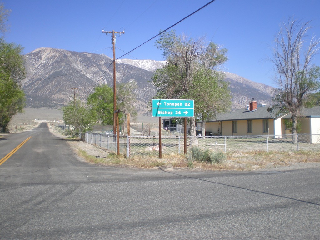
End CA-120 East at US-6
End CA-120 east at US-6. Use US-6 west for Bishop; US-6 east for Tonopah (Nevada).
Taken 05-04-2012
 Benton
Mono County
California
United States
Benton
Mono County
California
United States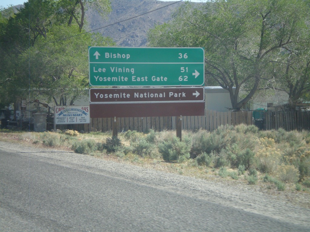
US-6 West at CA-120 West
US-6 West at CA-120 West. Use CA-120 west for Lee Vining, Yosemite East Gate, and Yosemite National Park. Continue west on US-6 for Bishop.
Taken 05-04-2012
Benton
Mono County
California
United States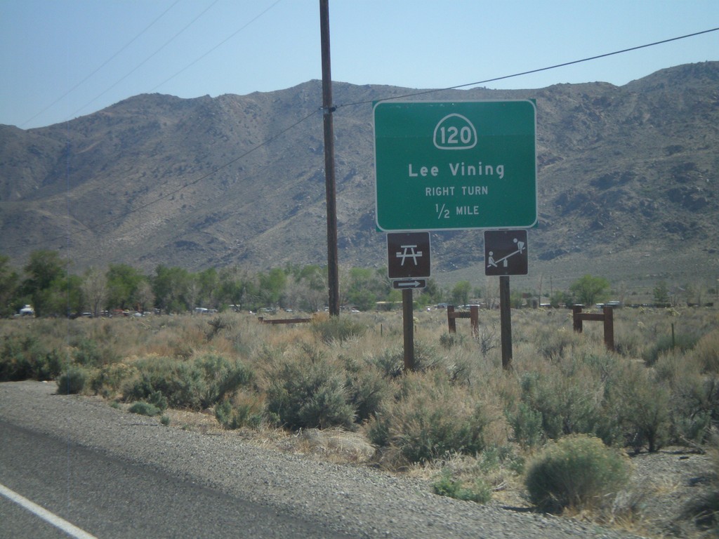
US-6 West Approaching CA-120
US-6 west approaching CA-120 west to Lee Vining.
Taken 05-04-2012
Benton
Mono County
California
United States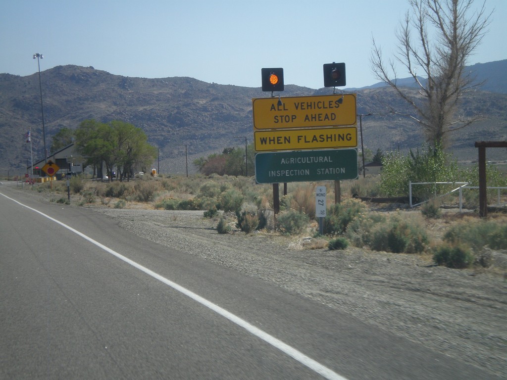
US-6 West - California State Agricultural Inspection
US-6 west approaching the California State Agricultural Inspection Station at Benton. All traffic must stop for inspection. I was waved through on this day.
Taken 05-04-2012
Benton
Mono County
California
United States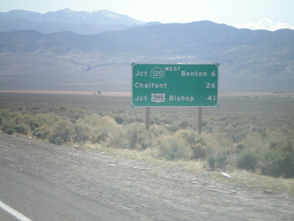
US-6 West - Distance Marker
Distance marker on US-6 west. Distance to Jct. CA-120 West/Benton, Chalfant, and Jct. US-395/Bishop. This is the first distance marker on US-6 inside of California.
Taken 05-04-2012
Benton
Mono County
California
United States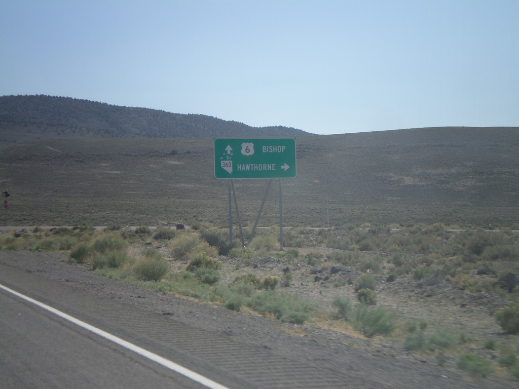
US-6 West at NV-360
US-6 west at NV-360 to Hawthorne. Continue west on US-6 to Bishop (California).
Taken 05-04-2012
 Dyer
Mineral County
Nevada
United States
Dyer
Mineral County
Nevada
United States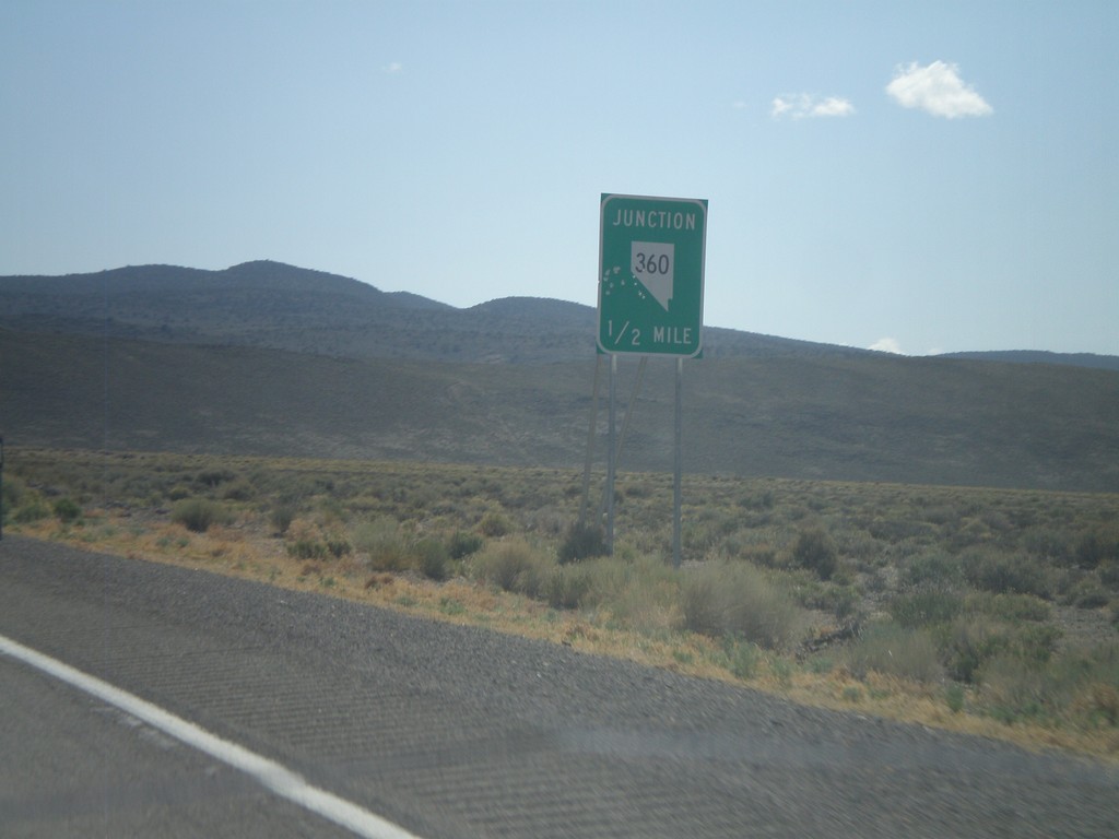
US-6 West Approaching NV-360
US-6 west approaching NV-360.
Taken 05-04-2012
Mineral County
Nevada
United States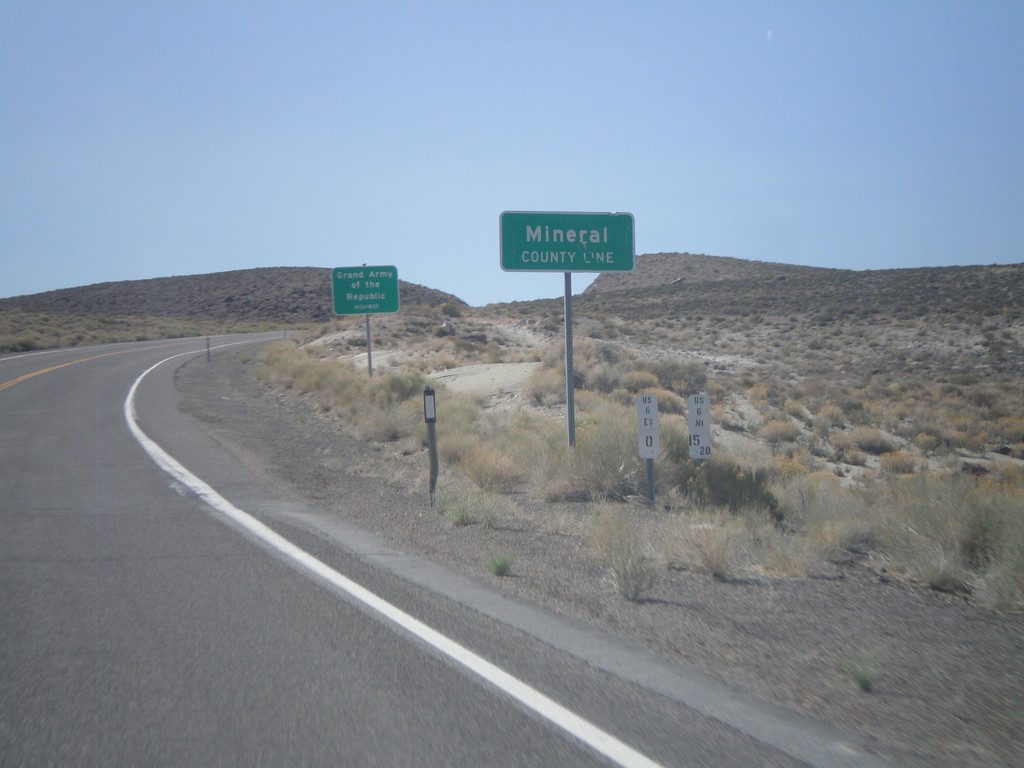
US-6 West - Mineral County Line
US-6 West at Mineral County Line. Taken at the Mineral - Esmeralda County Line.
Taken 05-04-2012
Esmeralda County
Nevada
United States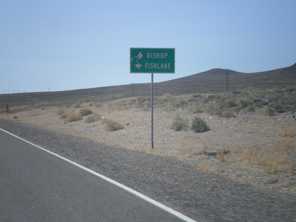
US-6 West Approaching NV-264
US-6 west approaching NV-264 south to Fishlake. Continue west on US-6 for Bishop (California).
Taken 05-04-2012
 Esmeralda County
Nevada
United States
Esmeralda County
Nevada
United States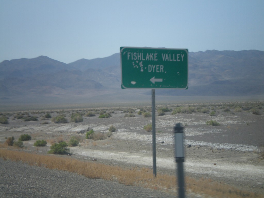
US-6 West at NV-773
US-6 west at NV-773 south to Fishlake Valley and Dyer.
Taken 05-04-2012
 Coaldale
Esmeralda County
Nevada
United States
Coaldale
Esmeralda County
Nevada
United States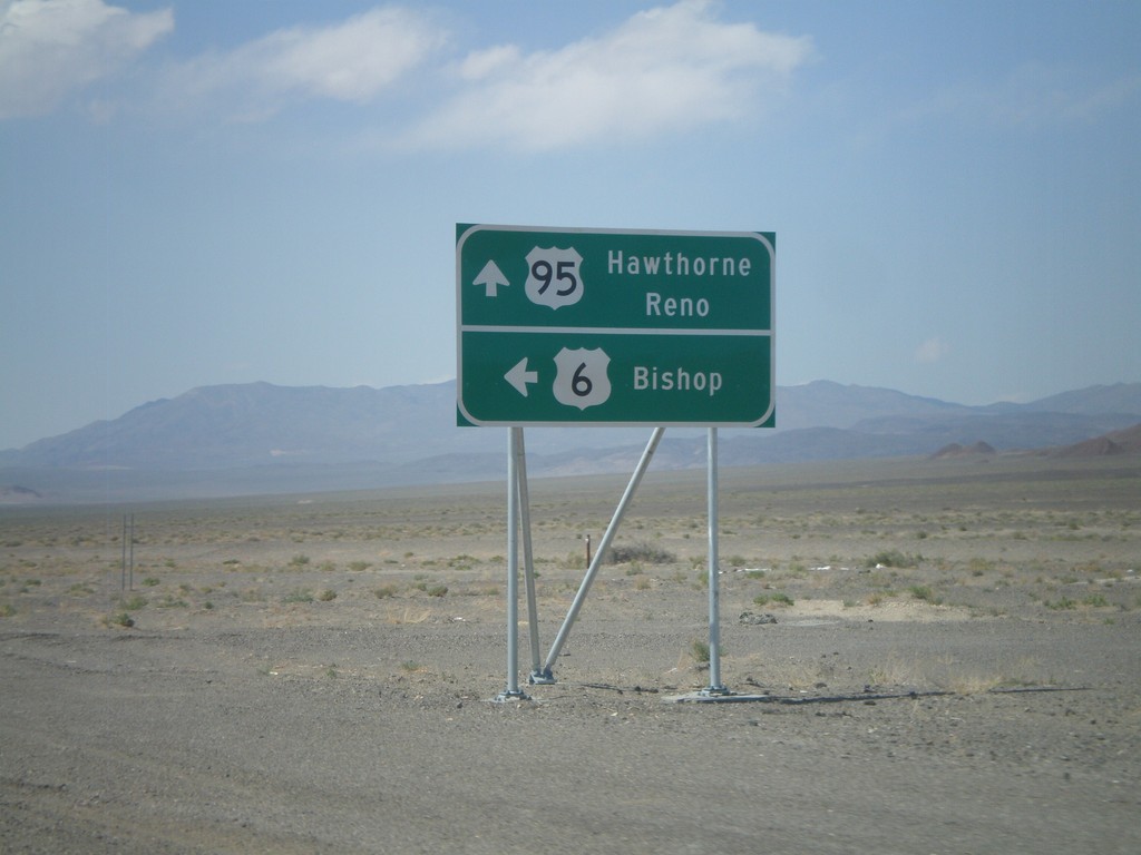
US-6 West/US-95 North at Split
US-6 West/US-95 North at US-6/US-95 split. Continue ahead for US-95 north to Hawthorne and Reno. Turn left for US-6 west to Bishop (California).
Taken 05-04-2012
 Coaldale
Esmeralda County
Nevada
United States
Coaldale
Esmeralda County
Nevada
United States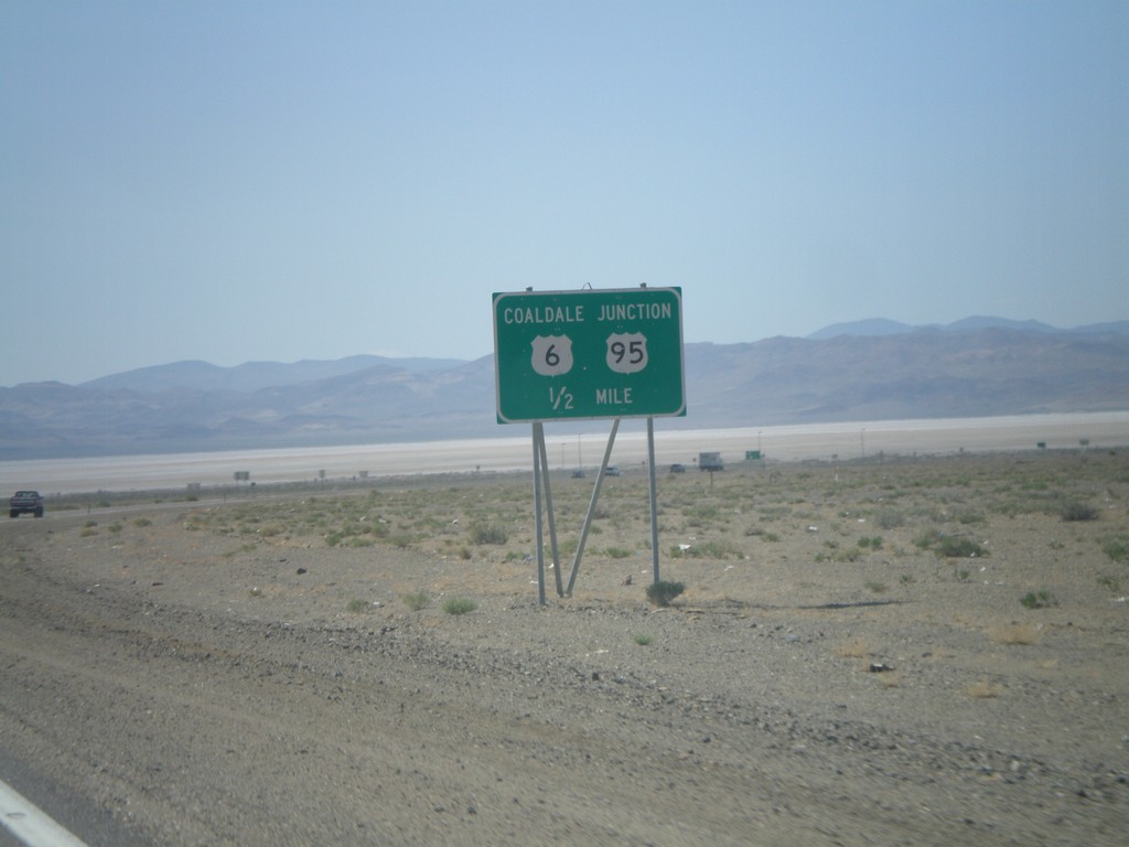
US-6 West/US-95 North at US-6/US-95 Split
US-95 North/US-6 West approaching Coaldale Junction, the US-95/US-6 split.
Taken 05-04-2012
Coaldale
Esmeralda County
Nevada
United States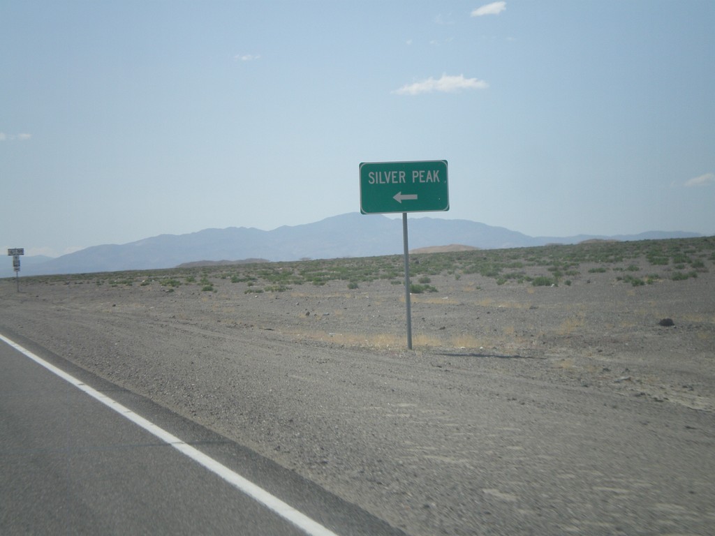
US-6 West/US-95 North Approaching NV-265
US-6 West/US-95 North Approaching NV-265 to Sliver Peak.
Taken 05-04-2012
 Coaldale
Esmeralda County
Nevada
United States
Coaldale
Esmeralda County
Nevada
United States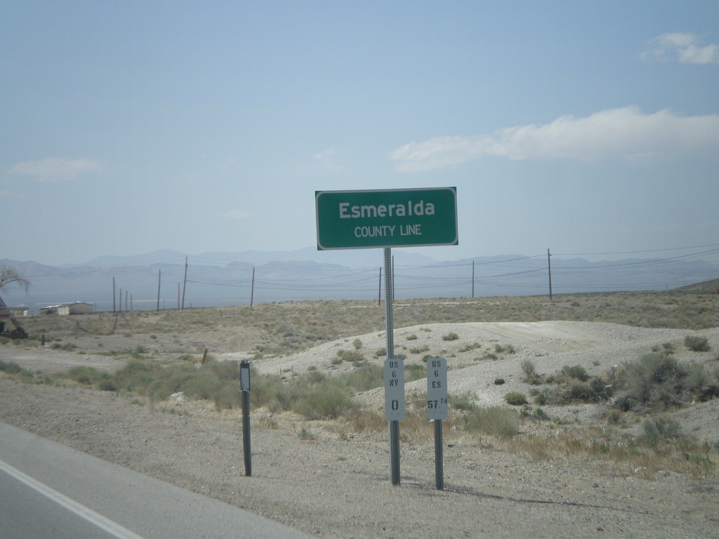
US-6 West/US-95 North - Esmeralda County Line
Esmeralda County Line on US-6 West/US-95 North leaving Tonopah. Taken at the Esmeralda-Nye County Line.
Taken 05-04-2012
Tonopah
Esmeralda County
Nevada
United States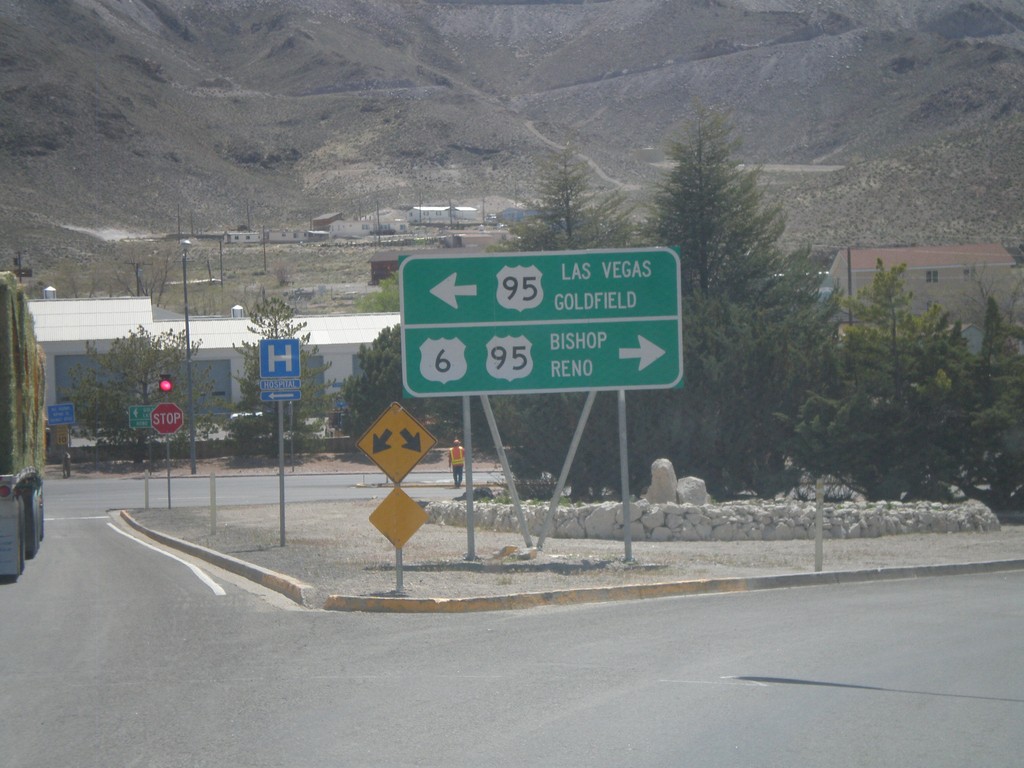
US-6 West Approaching US-95
US-6 west approaching US-95. Use US-95 south for Las Vegas and Goldfield. Use US-95 north/US-6 west for Bishop (California) and Reno. US-6 joins US-95 north to Coaldale Junction.
Taken 05-04-2012
Tonopah
Nye County
Nevada
United States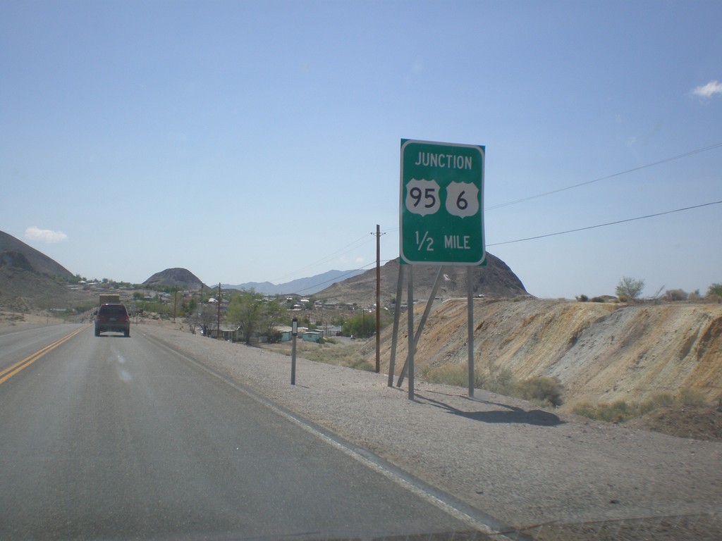
US-6 West Approaching US-95
US-6 west approaching US-95 junction in Tonopah.
Taken 05-04-2012
Tonopah
Nye County
Nevada
United States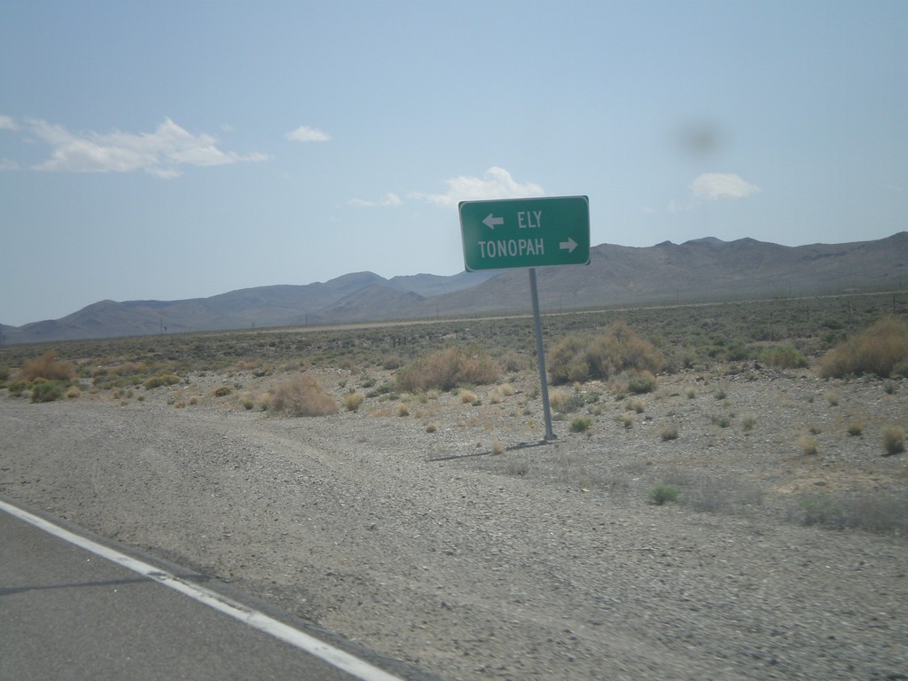
NV-376 South Approaching US-6
NV-376 South approaching US-6 in Nye County. Turn left for Ely; right for Tonopah.
Taken 05-04-2012
 Tonopah
Nye County
Nevada
United States
Tonopah
Nye County
Nevada
United States