Signs Tagged With Big Green Sign
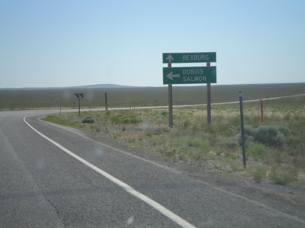
ID-33 East at ID-22 East
ID-33 east at ID-22 east to Dubois and Salmon. Continue east on ID-33 for Rexburg.
Taken 07-02-2011

 Howe
Butte County
Idaho
United States
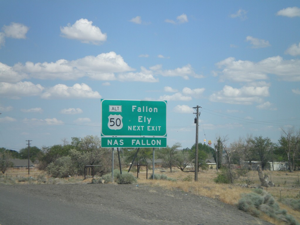
I-80 East Approaching Exit 48
I-80 east approaching Exit 48. Use Exit 48 for Fallon and Ely via Alt. US-50 east.
Taken 06-13-2011


 Fernley
Lyon County
Nevada
United States
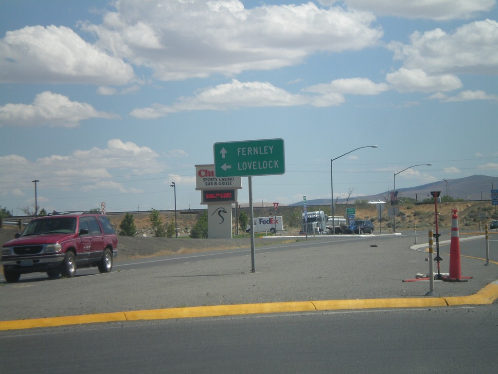
NV-427 South at I-80 East
NV-427 south at I-80 east to Lovelock. Continue south on NV-427/BL-80 into downtown Fernley.
Taken 06-13-2011


 Fernley
Lyon County
Nevada
United States
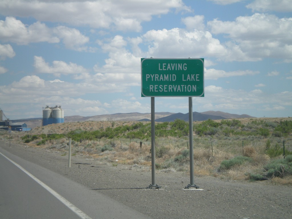
NV-427 South - Leaving Pyramid Lake Indian Reservation
Leaving the Pyramid Lake Indian Reservation on NV-427 south. The Pyramid Lake Indian Reservation is home to the Pyramid Lake Paiute Tribe.
Taken 06-13-2011
 Fernley
Lyon County
Nevada
United States
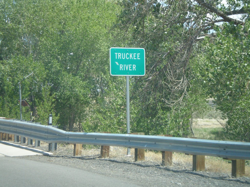
NV-427 South - Truckee River
NV-427 south crossing the Truckee River in Wadsworth.
Taken 06-13-2011
 Sparks
Washoe County
Nevada
United States
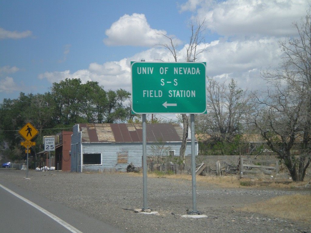
NV-427 East at NV-447 North
NV-427 East at NV-447 North to the University of Nevada S-S Field Station and Pyramid Lake.
Taken 06-13-2011

 Wadsworth
Washoe County
Nevada
United States
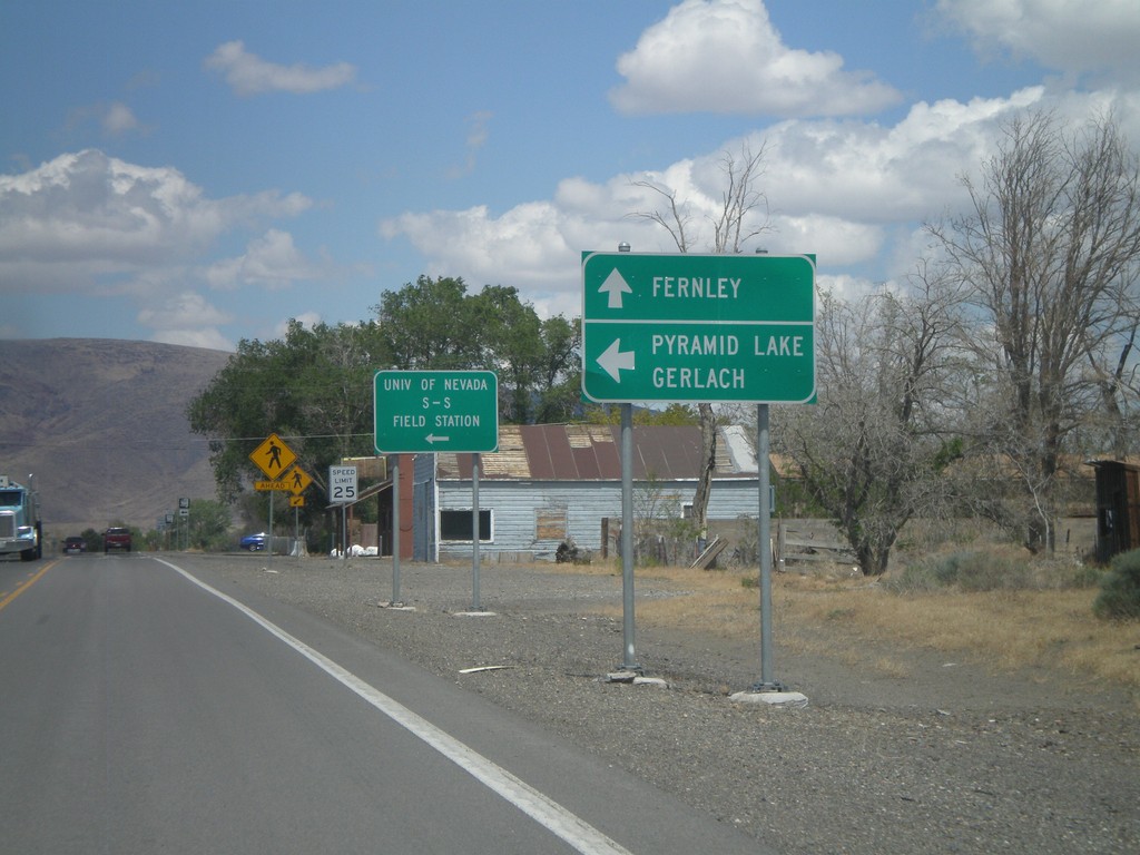
NV-427 East at NV-447
NV-427 east at NV-447 north. Use NV-447 north for Pyramid Lake and Gerlach. Continue east on NV-427 for Fernley.
Taken 06-13-2011

 Wadsworth
Washoe County
Nevada
United States
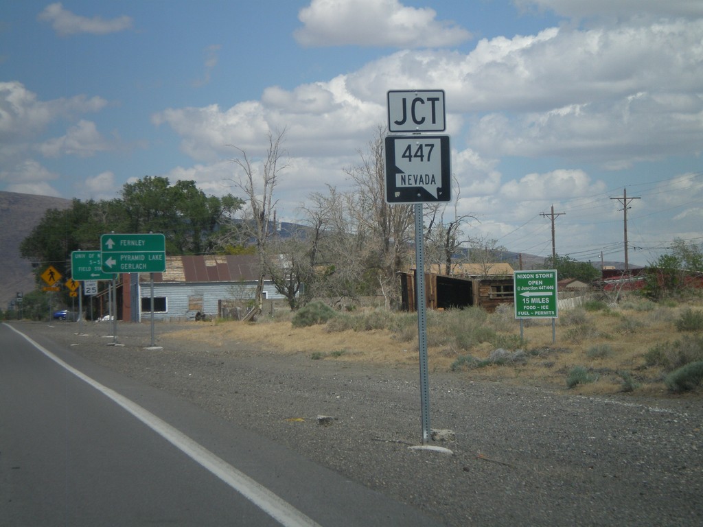
NV-427 East Approaching NV-447
NV-427 East approaching NV-447 in Wadsworth. Turn north on NV-447 for Pyramid Lake and Gerlach.
Taken 06-13-2011

 Sparks
Washoe County
Nevada
United States
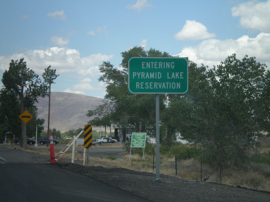
Entering Pyramid Lake Indian Reservation - NV-427 East
Entering Pyramid Lake Indian Reservation on NV-427 East. Pyramid Lake Indian Reservation is home to the Pyramid Lake Paiute Tribe.
Taken 06-13-2011
 Wadsworth
Washoe County
Nevada
United States
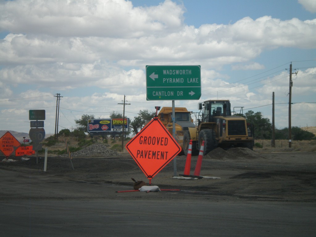
I-80 East Offramp at NV-427
I-80 East Offramp (Exit 43) at NV-427 East. Turn left for NV-427 (not signed) for Wadsworth and Pyramid Lake. Turn right for Cantlon Drive.
Taken 06-13-2011

 Wadsworth
Washoe County
Nevada
United States
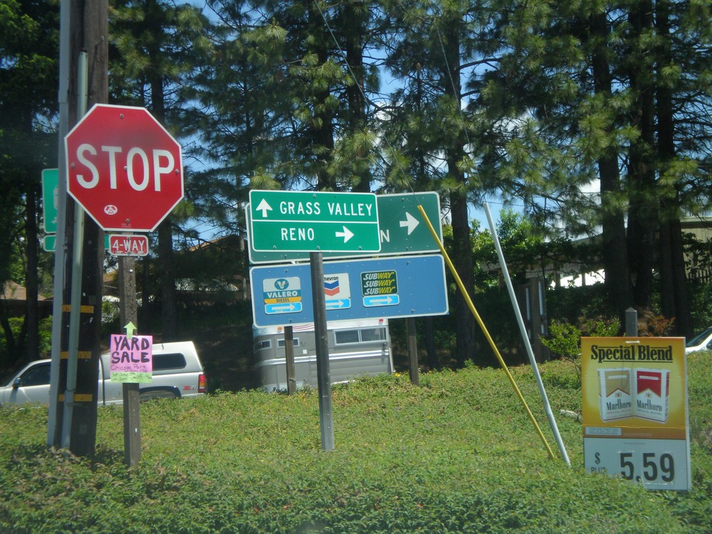
S. Auburn St. at I-80 Onramp and CA-174 Jct.
S. Auburn St. at I-80 East onramp and CA-174. Turn right for I-80 east to Reno; continue ahead for CA-174 West to Grass Valley.
Taken 06-13-2011

 Colfax
Placer County
California
United States
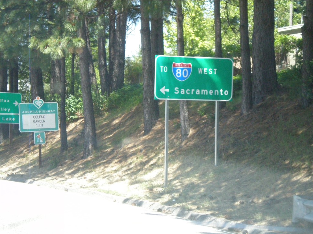
I-80 Overpass (Exit 135) at CA-174 Jct.
Overpass at I-80 Exit 135 at CA-174 jct. Turn right for CA-174; turn left for I-80 West to Sacramento.
Taken 06-13-2011

 Colfax
Placer County
California
United States
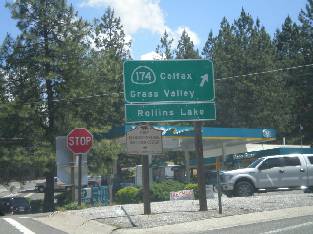
I-80 East at CA-174 (Exit 135)
I-80 east offramp at CA-174. Turn right for CA-174 West to Colfax, Grass Valley, and Rollins Lake. Also turn right for the First Transcontinental Railroad Historical Marker - Colfax.
Taken 06-13-2011

 Colfax
Placer County
California
United States
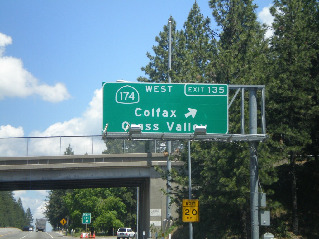
I-80 East - Exit 135
I-80 east at Exit 135 - CA-174 West/Colfax/Grass Valley.
Taken 06-13-2011

 Colfax
Placer County
California
United States
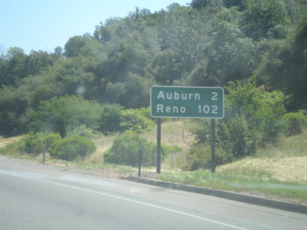
I-80 East - Distance Marker
Distance marker on I-80 east to Auburn and Reno.
Taken 06-13-2011
 Newcastle
Placer County
California
United States
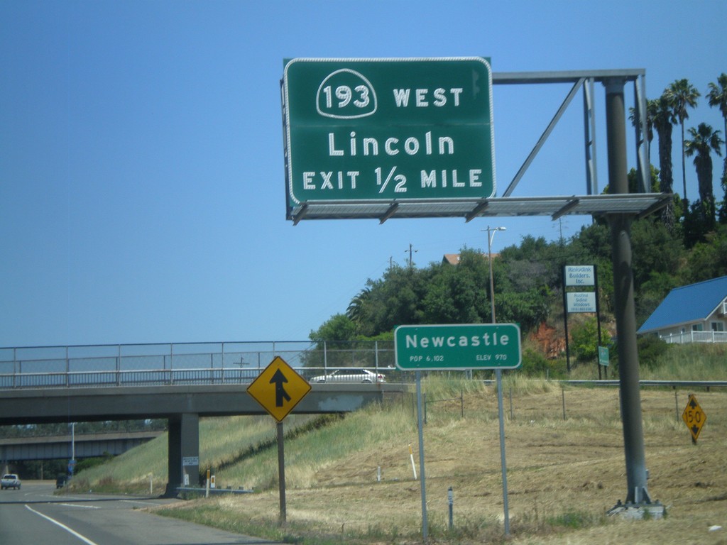
I-80 East Approaching Exit 116
I-80 East approaching Exit 116 - CA-193/Lincoln. Entering the community of Newcastle.
Taken 06-13-2011

 Newcastle
Placer County
California
United States
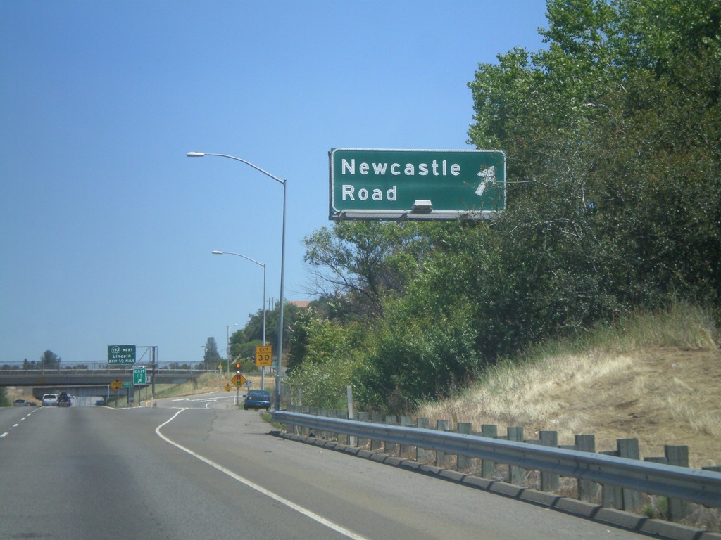
I-80 East - Exit 115
I-80 east at Exit 115 - Newcastle Road.
Taken 06-13-2011
 Newcastle
Placer County
California
United States
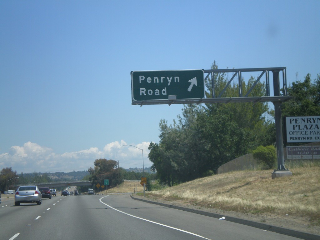
I-80 East - Exit 112
I-80 east at Exit 112 - Penryn Road.
Taken 06-13-2011
 Loomis
Placer County
California
United States
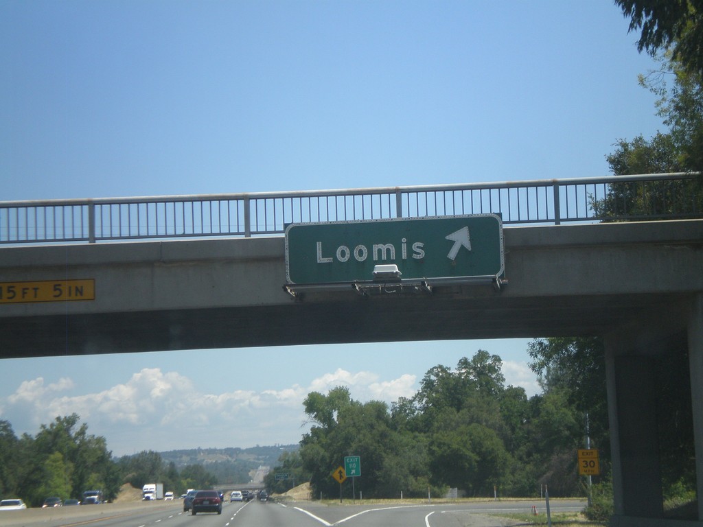
I-80 East - Exit 110
I-80 east at Exit 110 - Loomis
Taken 06-13-2011
 Loomis
Placer County
California
United States
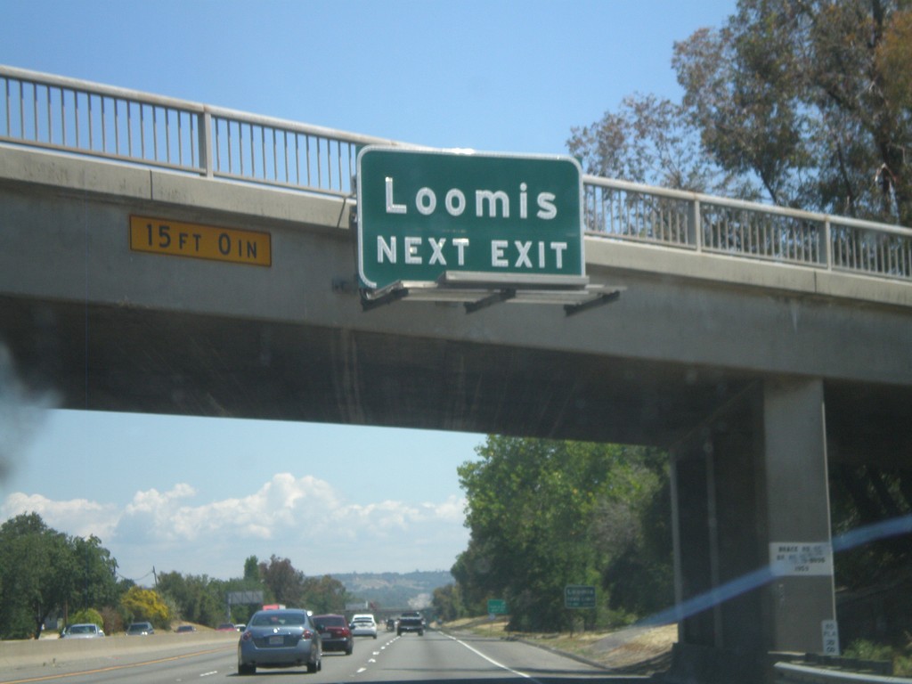
I-80 East Approaching Exit 110
I-80 east approaching Exit 110 - Loomis.
Taken 06-13-2011
 Loomis
Placer County
California
United States
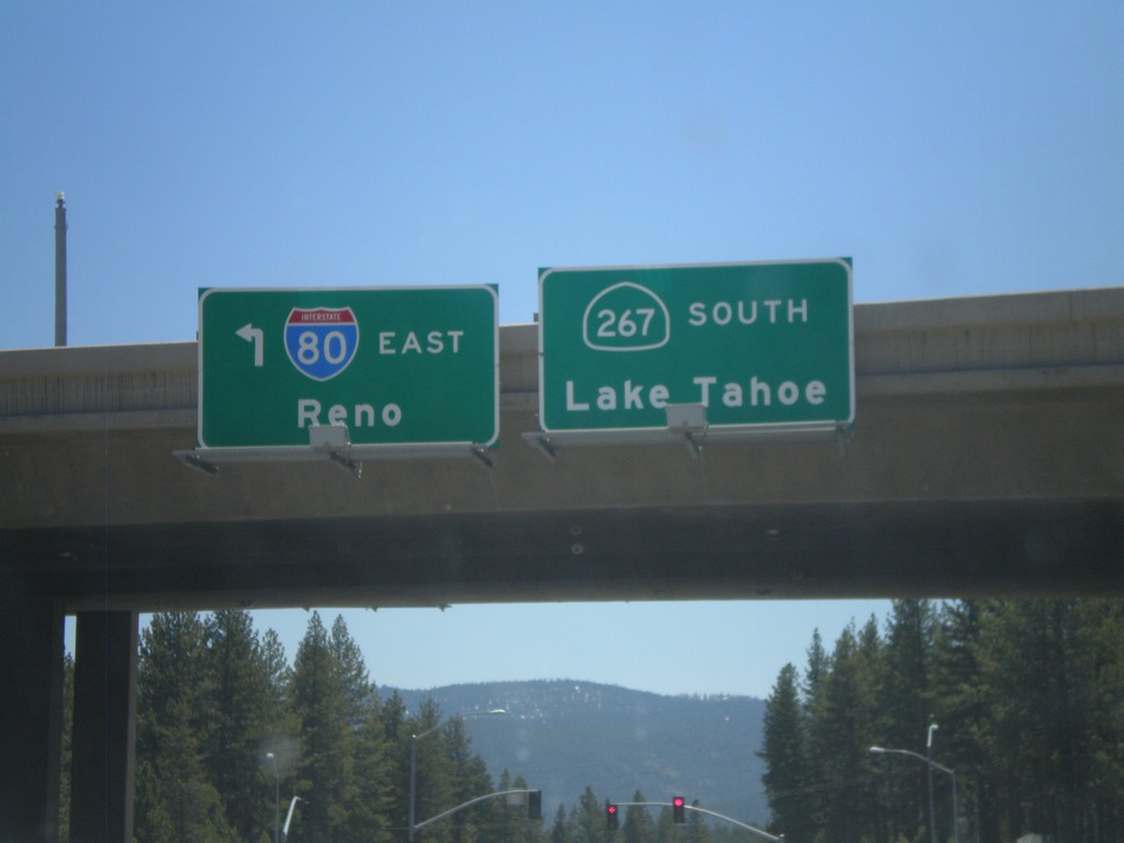
Begin CA-267 East at I-80
Begin CA-267 east at I-80. Turn right for I-80 east to Reno (Exit 188B); continue ahead for CA-267 east to Lake Tahoe.
Taken 06-09-2011


 Truckee
Nevada County
California
United States
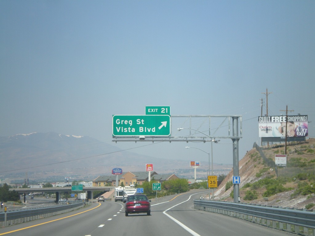
I-80 West - Exit 21
I-80 west at Exit 21 - Greg St./Vista Blvd. This is the first exit in the Reno/Sparks area westbound. The Sierra Nevada are visible in the background of the photo.
Taken 06-09-2011
 Sparks
Washoe County
Nevada
United States
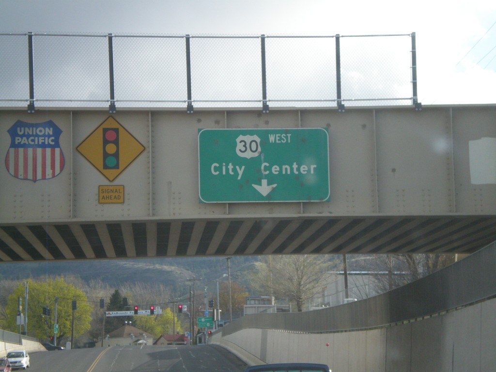
OR-82 West Approaching US-30
OR-82 West approaching US-30 and (La Grande) City Center. The overhead sign is attached to the Union Pacific Railroad overpass.
Taken 04-28-2011

 La Grande
Union County
Oregon
United States
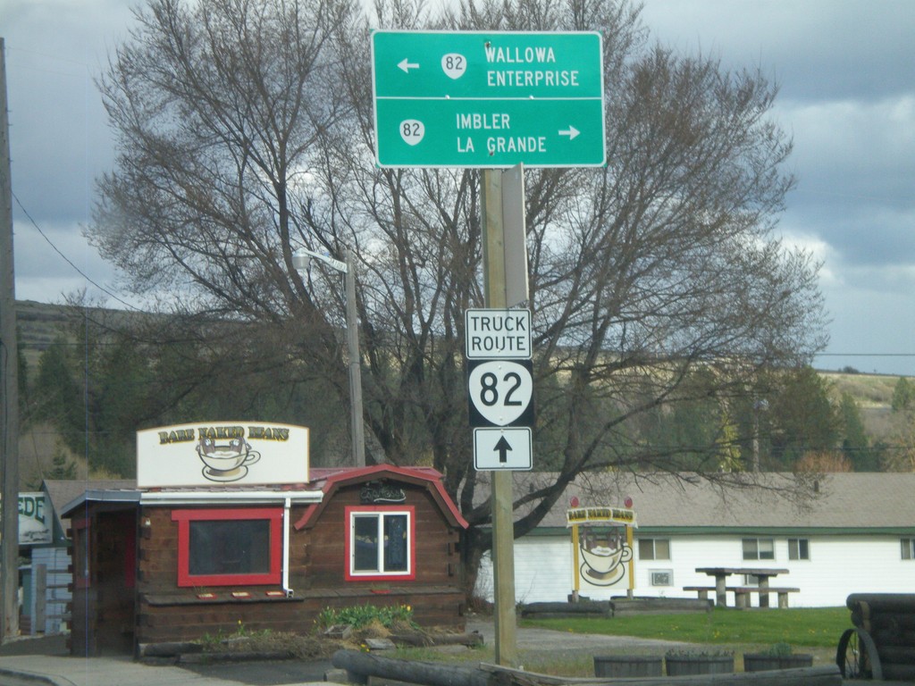
End OR-204 East at OR-82
End OR-204 East at OR-82. Use OR-82 east for Wallowa and Enterprise; use OR-82 west for Imbler and La Grande. For OR-82 truck traffic continue ahead.
Taken 04-28-2011

 Elgin
Union County
Oregon
United States
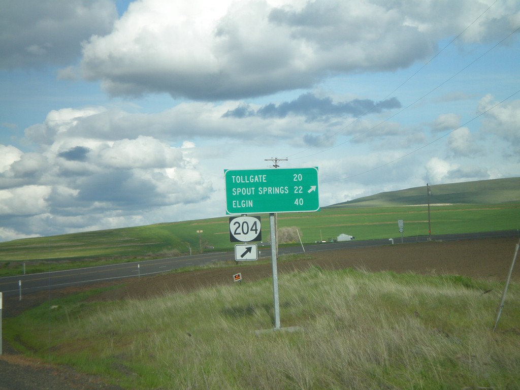
OR-204 East at Winn Road
OR-204 east at Winn Road. Merge right to continue on OR-204 for Tollgate, Spout Springs, and Elgin.
Taken 04-28-2011
 Weston
Umatilla County
Oregon
United States