Signs Tagged With Big Green Sign
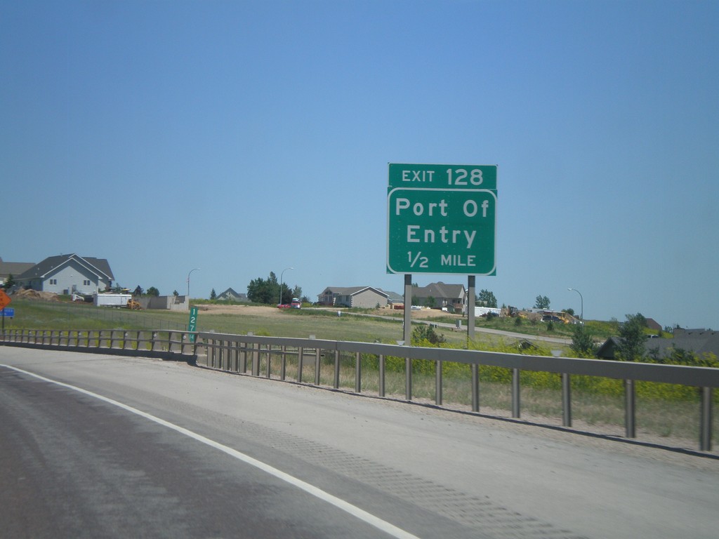
I-90 East - Exit 128
I-90 east at Exit 128 - Port of Entry. This is the east end of the Gillette business loop.
Taken 07-03-2011


 Gillette
Campbell County
Wyoming
United States
Gillette
Campbell County
Wyoming
United States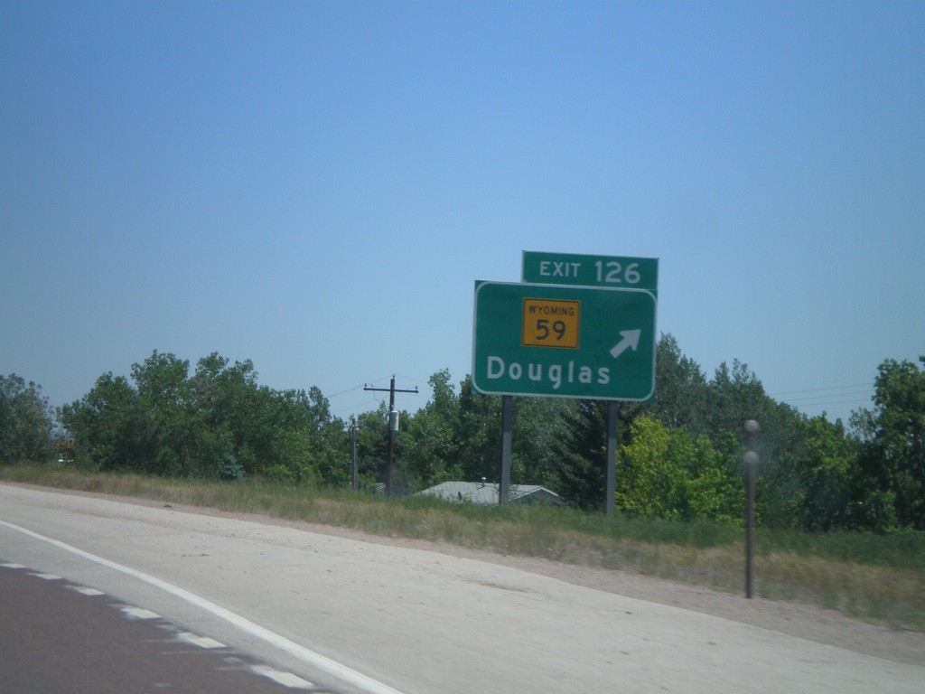
I-90 East - Exit 126
I-90 east at Exit 126 - WY-59/Douglas.
Taken 07-03-2011
 Gillette
Campbell County
Wyoming
United States
Gillette
Campbell County
Wyoming
United States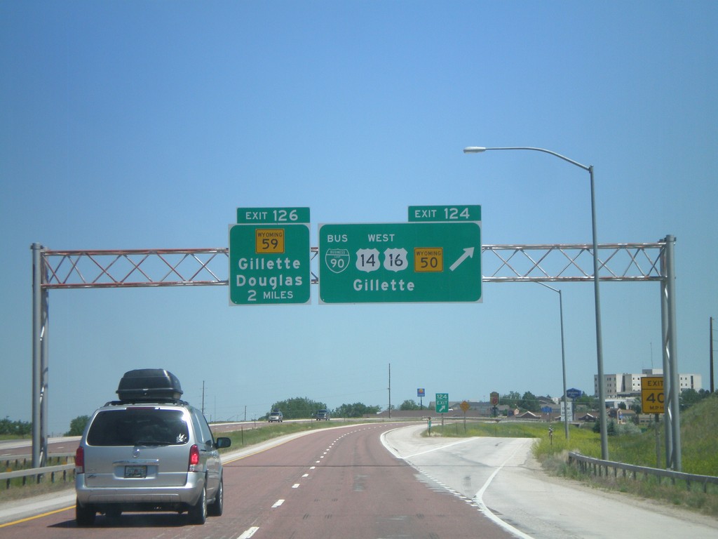
I-90 East - Exits 124 and 126
I-90 east at Exit 124 - BL-90/US-14/US-16 West/WY-50/Gillette. Approaching Exit 126 - WY-59/Gillette/Douglas.
Taken 07-03-2011
 Gillette
Campbell County
Wyoming
United States
Gillette
Campbell County
Wyoming
United States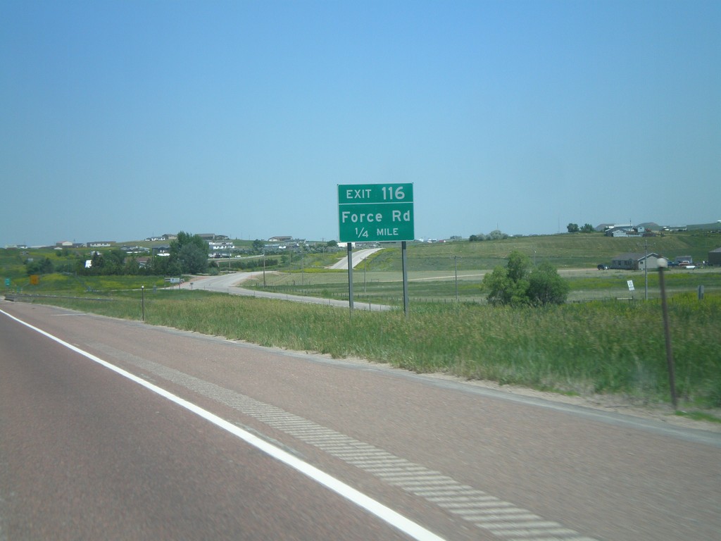
I-90 East - Exit 116
I-90 east approaching Exit 116 - Force Road.
Taken 07-03-2011
Gillette
Campbell County
Wyoming
United States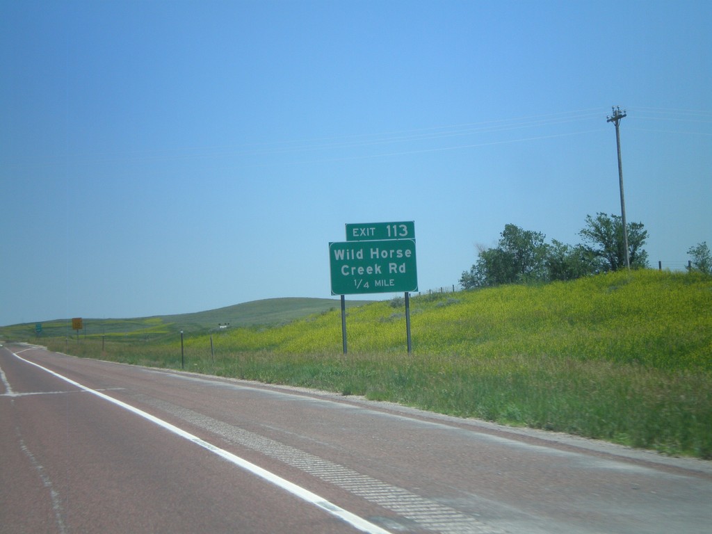
I-90 East - Exit 113
I-90 east approaching Exit 113 - Wild Horse Creek Road.
Taken 07-03-2011
Gillette
Campbell County
Wyoming
United States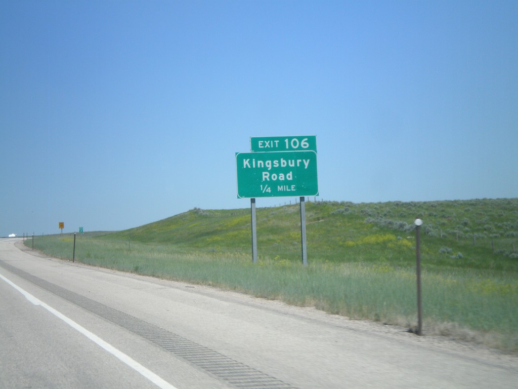
I-90 East - Exit 106
I-90 east approaching Exit 106 - Kingsbury Road.
Taken 07-03-2011
Gillette
Campbell County
Wyoming
United States
I-90 East - Exit 102
I-90 east at Exit 102 - Barber Creek Road.
Taken 07-03-2011
Gillette
Campbell County
Wyoming
United States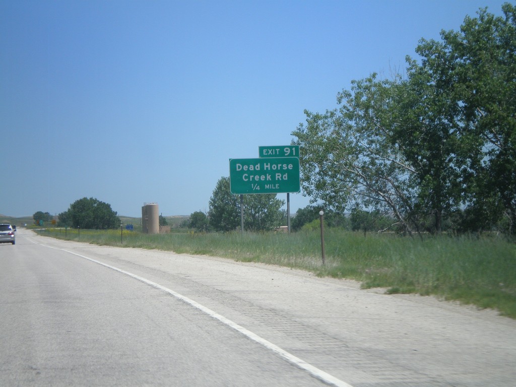
I-90 Eas - Exit 91
I-90 east at Exit 91 - Dead Horse Creek Road.
Taken 07-03-2011
Arvada
Johnson County
Wyoming
United States
I-90 East - Exit 88
I-90 east approaching Exit 88 - Powder River Road.
Taken 07-03-2011
Arvada
Johnson County
Wyoming
United States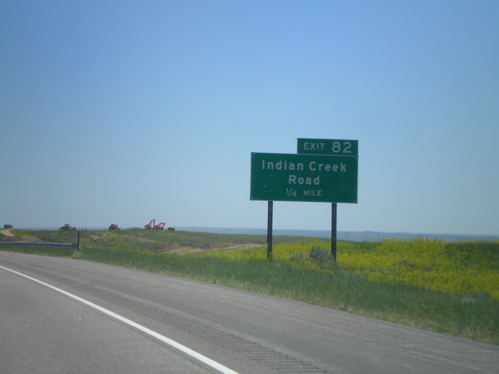
I-90 East - Exit 82
I-90 east at Exit 82 - Indian Creek Road.
Taken 07-03-2011
Arvada
Johnson County
Wyoming
United States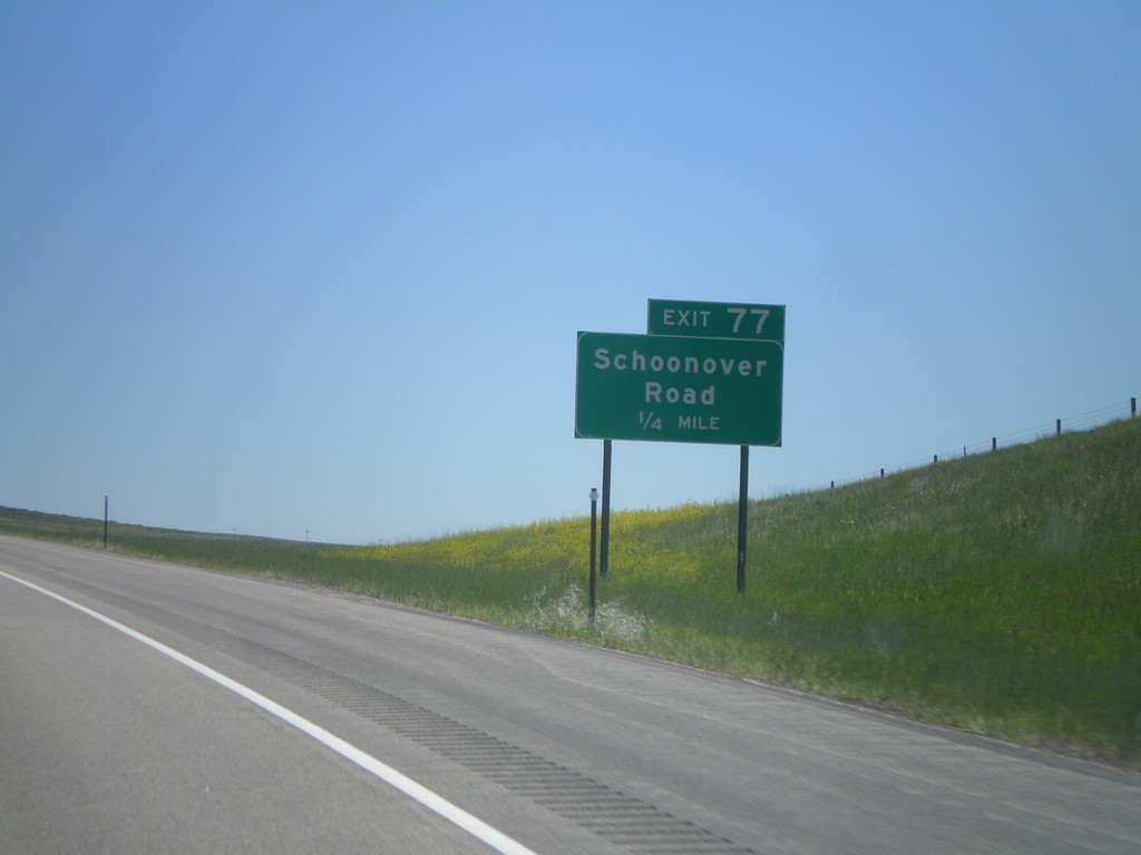
I-90 East - Exit 77
I-90 east approaching Exit 77 - Schoonover Road.
Taken 07-03-2011
Buffalo
Johnson County
Wyoming
United States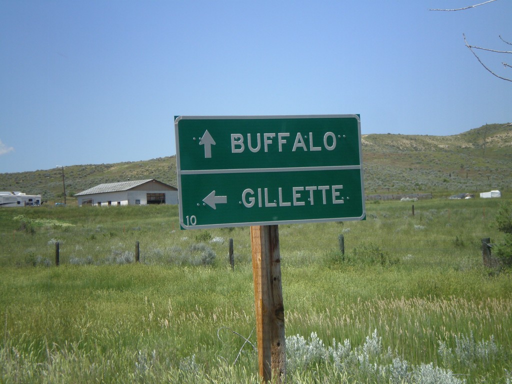
I-90 - Exit 73 Onramp
I-90 - Exit 73 onramp. Continue straight for I-90 west to Buffalo; left for I-90 east to Gillette.
Taken 07-03-2011
Buffalo
Johnson County
Wyoming
United States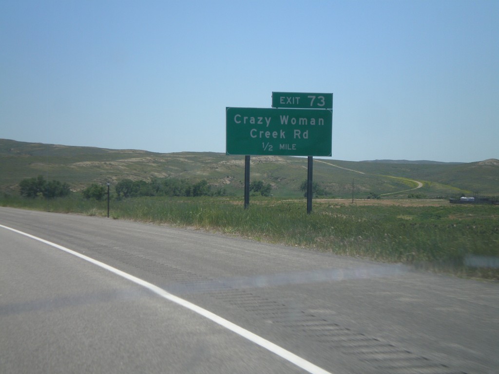
I-90 East - Exit 73
I-90 east approaching Exit 73 - Crazy Woman Creek Road.
Taken 07-03-2011
Buffalo
Johnson County
Wyoming
United States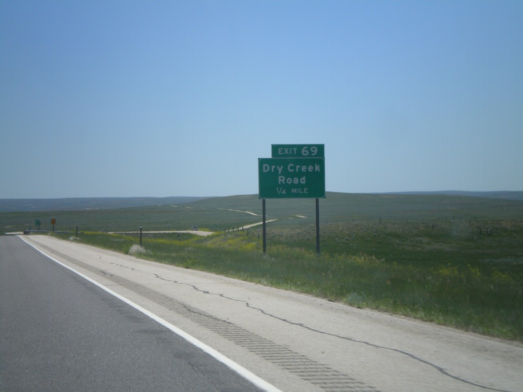
I-90 East - Exit 69
I-90 east at Exit 69 - Dry Creek Road.
Taken 07-03-2011
Buffalo
Johnson County
Wyoming
United States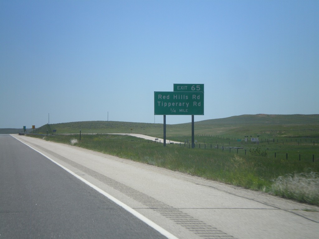
I-90 East - Exit 65
I-90 east at Exit 65 - Red Hills Road/Tipperary Road.
Taken 07-03-2011
Buffalo
Johnson County
Wyoming
United States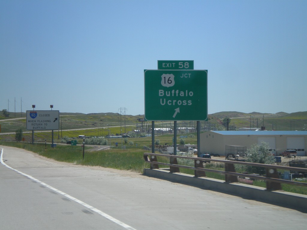
I-90 East - Exit 58
I-90 east at Exit 58 - US-16/Buffalo/Ucross. This is the eastern end of the I-90 business loop through Buffalo.
Taken 07-03-2011
Buffalo
Johnson County
Wyoming
United States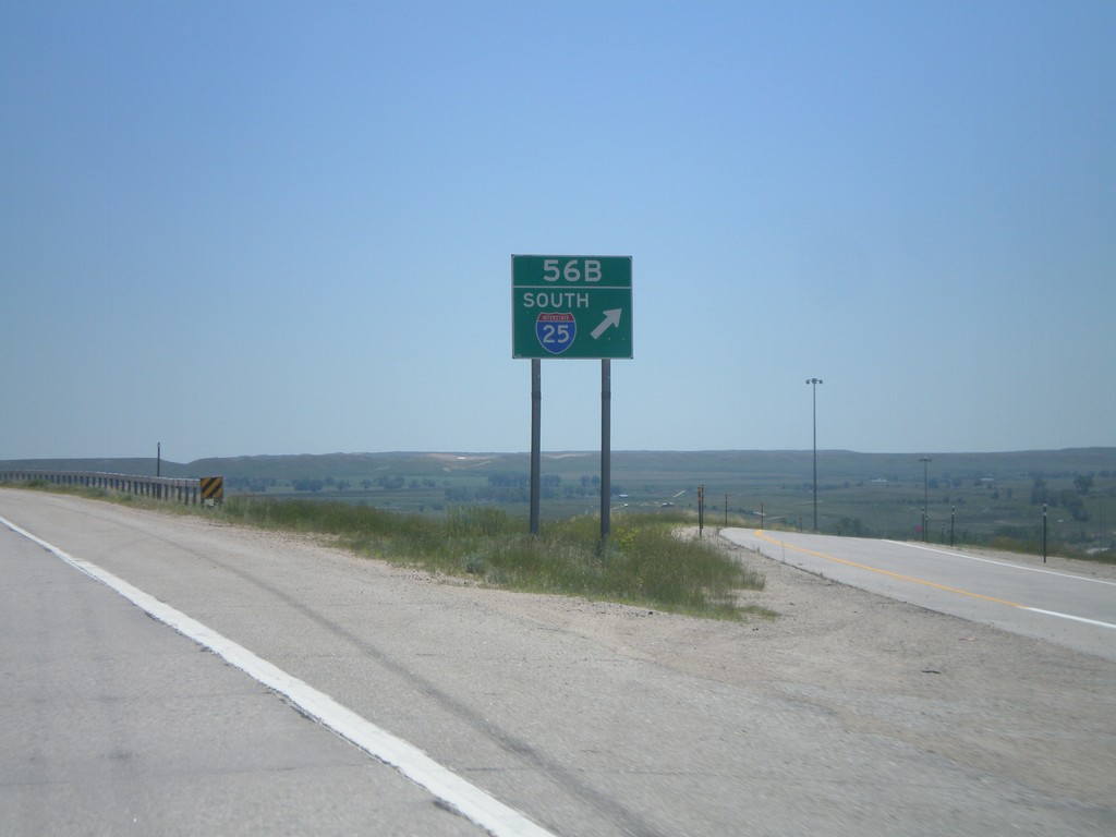
I-90 East - Exit 56B
I-90 east at Exit 56B - I-25 South. US-87 leaves I-90 here, and follows I-25 south. This is the northern terminus of I-25.
Taken 07-03-2011

 Buffalo
Johnson County
Wyoming
United States
Buffalo
Johnson County
Wyoming
United States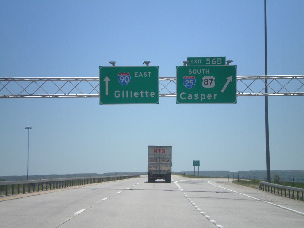
I-90 East - Exit 56B
I-90 east at Exit 56B - I-25/US-87 South/Casper. I-90 continues east to Gillette. US-87 leaves I-90 here and follows I-25 south to Casper. This is the northern end of I-25.
Taken 07-03-2011
Buffalo
Johnson County
Wyoming
United States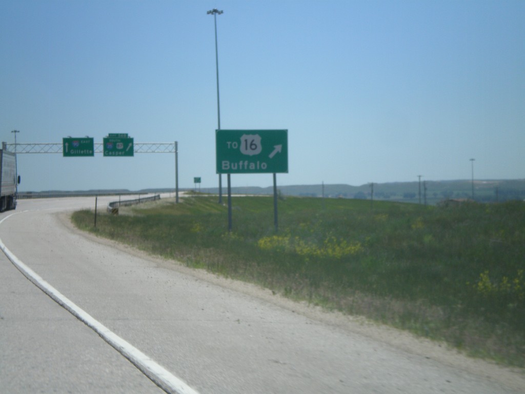
I-90 East - Use Exit 56B For US-16
I-90 east approaching Exit 56B. Use I-25 south for US-16 jct. in Buffalo.
Taken 07-03-2011
Buffalo
Johnson County
Wyoming
United States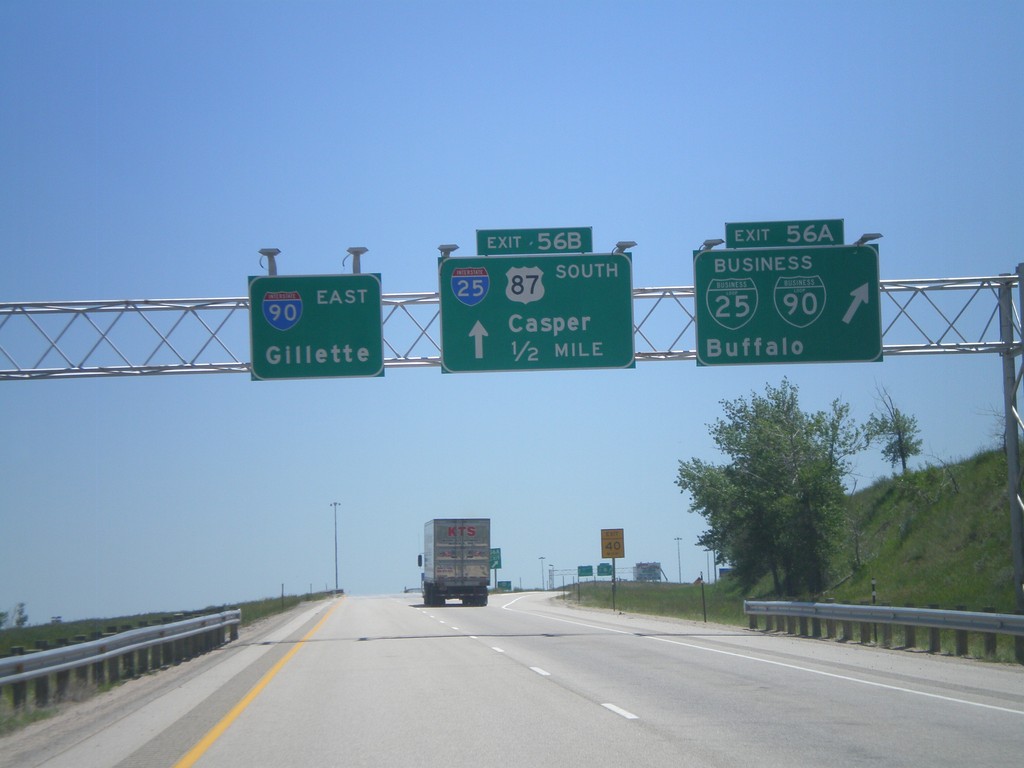
I-90 East - Exits 56A and 56B
I-90 east at Exit 56A - BL-90/BL-25/Buffalo. Approaching I-25/US-87 South/Casper. This is the northern end of I-25, the southern end is in Las Cruces, New Mexico.
Taken 07-03-2011
 Buffalo
Johnson County
Wyoming
United States
Buffalo
Johnson County
Wyoming
United States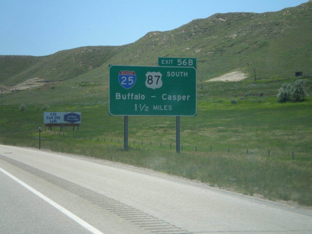
I-90 East Approaching Exit 56B
I-90 east approaching Exit 56B - I-25/US-87 South/Buffalo/Casper.
Taken 07-03-2011
Buffalo
Johnson County
Wyoming
United States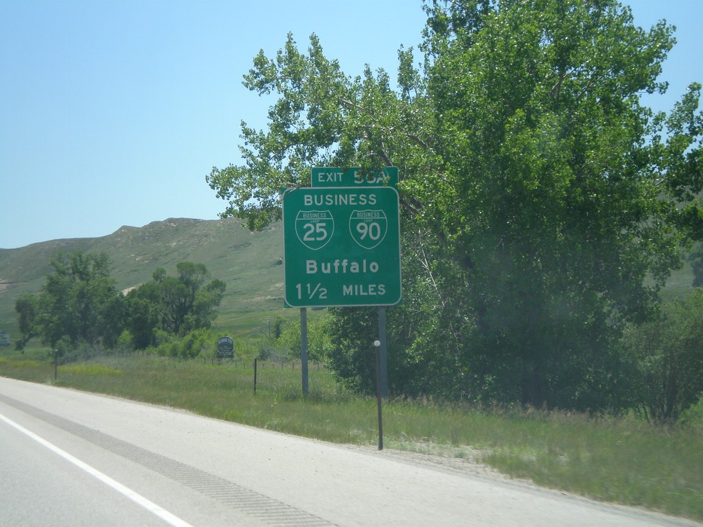
I-90 East - Exit 56A
I-90 east approaching Exit 56A - BL-25/BL-90/Buffalo.
Taken 07-03-2011
Buffalo
Johnson County
Wyoming
United States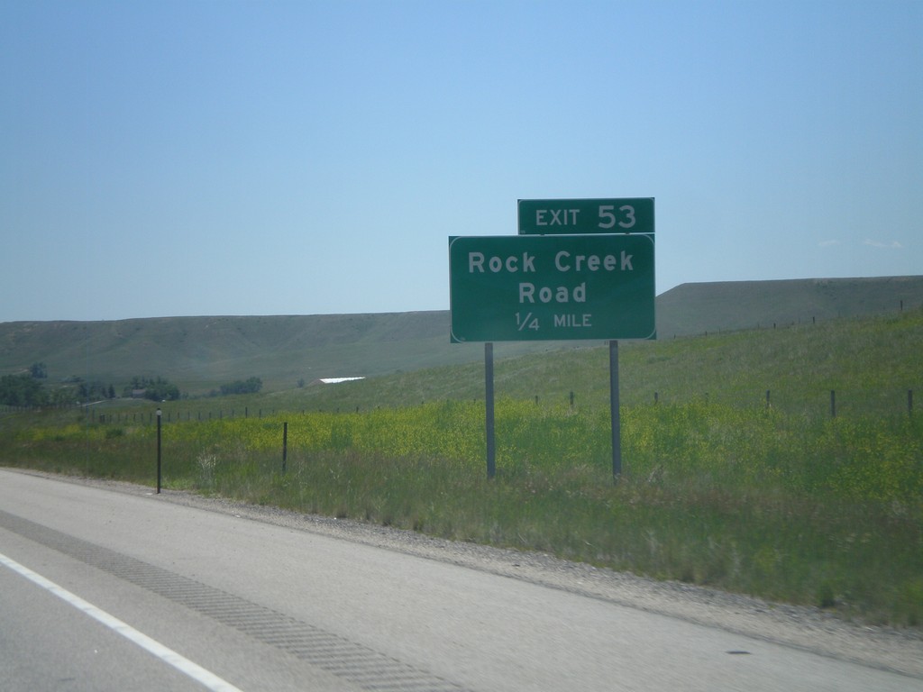
I-90 East - Exit 53
I-90 east approaching Exit 53 - Rock Creek Road.
Taken 07-03-2011
Buffalo
Johnson County
Wyoming
United States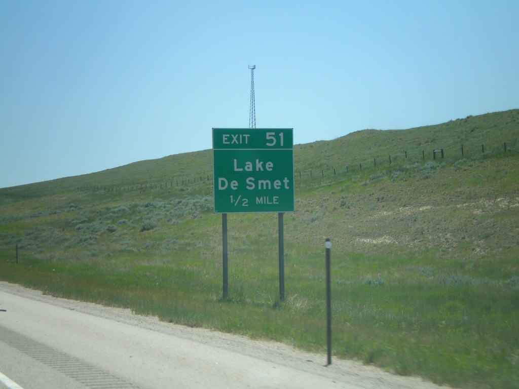
I-90 East - Exit 51
I-90 east approaching Exit 51 - Lake De Smet.
Taken 07-03-2011
Buffalo
Johnson County
Wyoming
United States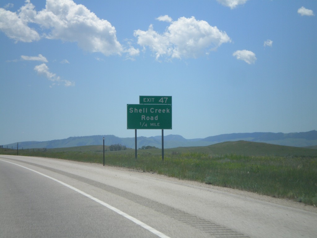
I-90 East - Exit 47
I-90 east approaching Exit 47 - Shell Creek Road.
Taken 07-03-2011
Kearny
Johnson County
Wyoming
United States