Signs Tagged With Big Green Sign
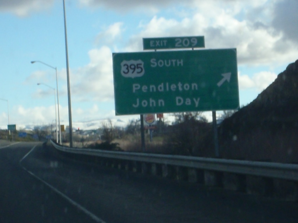
I-84 East - Exit 209
I-84 east at Exit 209 - US-395 South/Pendleton/John Day. US-395 joins I-84 west to Stansfield.
Taken 01-19-2011

 Pendleton
Umatilla County
Oregon
United States
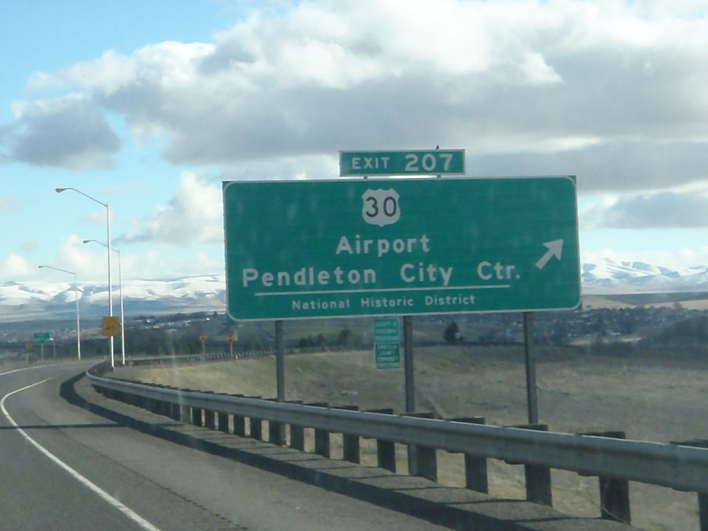
I-84 East - Exit 207
I-84 east at Exit 207 - US-30/Airport/Pendleton City Center/National Historic District. US-30 leaves I-84 here, serving as the Pendleton business loop. US-30 rejoins I-84 on the east side of Pendleton.
Taken 01-19-2011


 Pendleton
Umatilla County
Oregon
United States
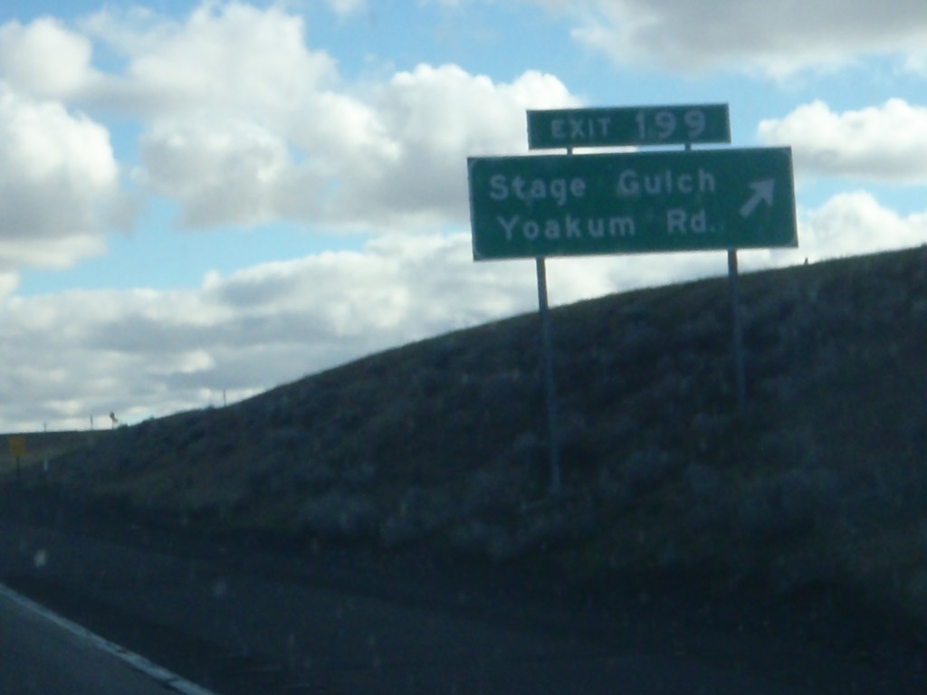
I-84 East - Exit 199
I-84 east at Exit 199 - Stage Gulch/Yoakum Road.
Taken 01-19-2011


 Pendleton
Umatilla County
Oregon
United States
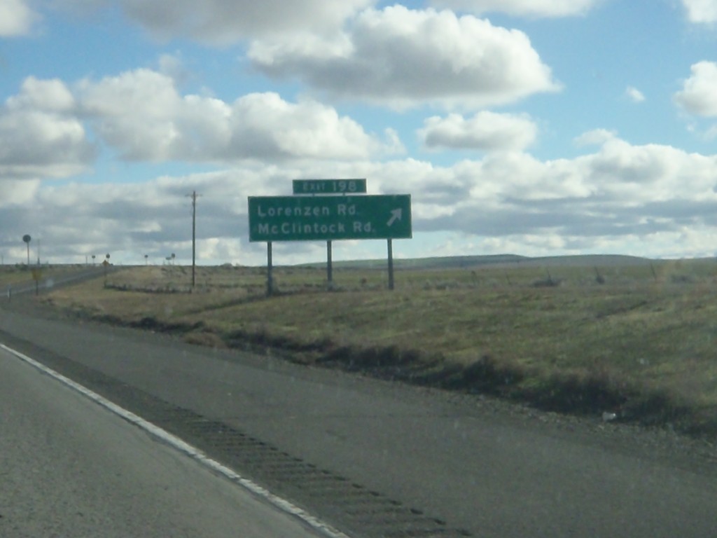
I-84 East - Exit 198
I-84 east at Exit 198 - Lorenzen Road/McClintock Road.
Taken 01-19-2011


 Pendleton
Umatilla County
Oregon
United States
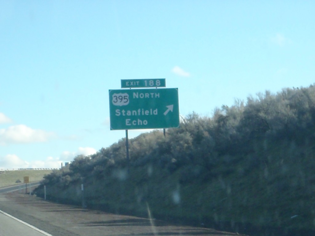
I-84 East - Exit 188
I-84 east at Exit 188 - US-395 North/Stanfield/Echo. US-395 south joins I-84/US-30 east to Pendleton.
Taken 01-19-2011


 Stanfield
Umatilla County
Oregon
United States
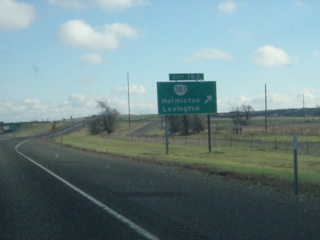
I-84 East - Exit 182
I-84 east at Exit 182 - OR-207/Hermiston/Lexington.
Taken 01-19-2011


 Hermiston
Umatilla County
Oregon
United States
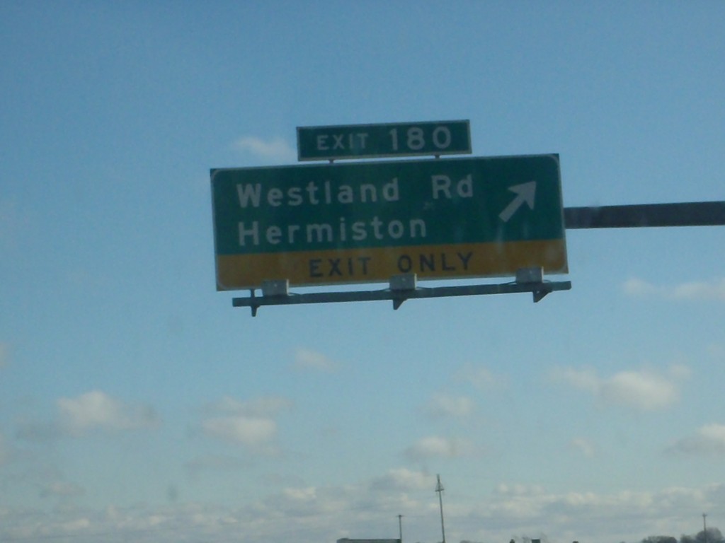
I-84 East - Exit 180
I-84 east at Exit 180 - Westland Road/Hermiston.
Taken 01-19-2011

 Hermiston
Umatilla County
Oregon
United States
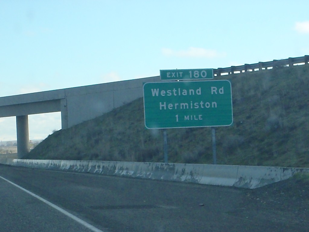
I-84 East Approaching Exit 180
I-84 east approaching Exit 180 - Westland Road/Hermiston.
Taken 01-19-2011

 Hermiston
Umatilla County
Oregon
United States
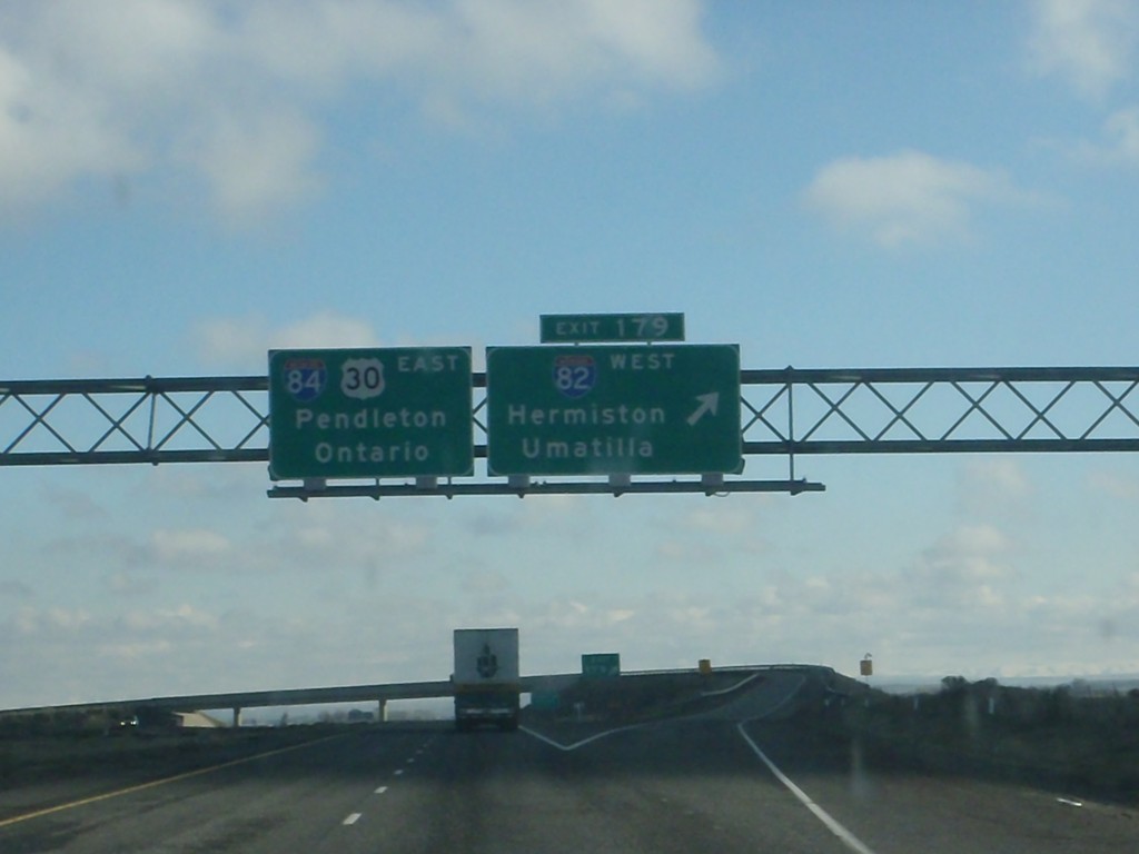
I-84 East - Exit 179
I-84 east at Exit 179 - I-82 West/Hermiston/Umatilla. I-84/US-30 continues east towards Pendleton and Ontario.
Taken 01-19-2011


 Hermiston
Umatilla County
Oregon
United States
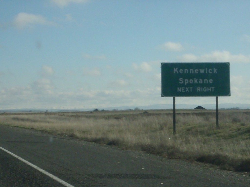
I-84 East Approaching Exit 179
I-84 east approaching Exit 179 (I-82 West). Use I-82 west for Kennewick (WA) and Spokane (WA).
Taken 01-19-2011


 Hermiston
Umatilla County
Oregon
United States
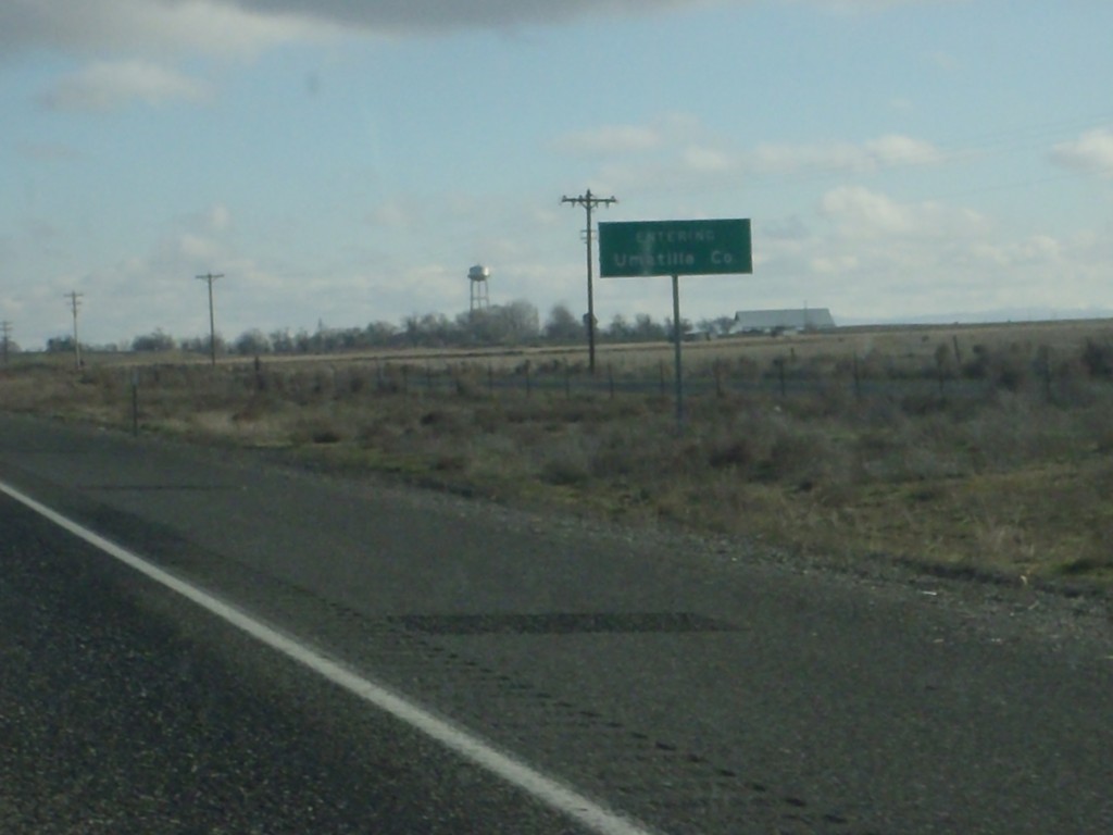
I-84 East - Entering Umatilla County
Entering Umatilla County on I-84 east.
Taken 01-19-2011

 Hermiston
Umatilla County
Oregon
United States
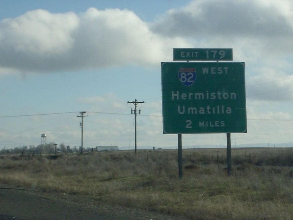
I-84 East Approaching Exit 179
I-84 east approaching Exit 179 - I-82 West/Hermiston/Umatilla.
Taken 01-19-2011


 Hermiston
Umatilla County
Oregon
United States
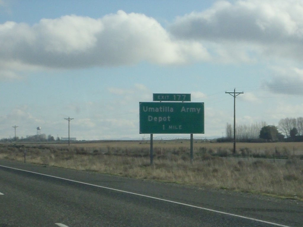
I-84 East - Exit 177
I-84 east approaching Exit 177 - Umatilla Army Depot. The Umatilla Army Depot is one of the few sites in the United States that store chemical weapons.
Taken 01-19-2011

 Irrigon
Morrow County
Oregon
United States
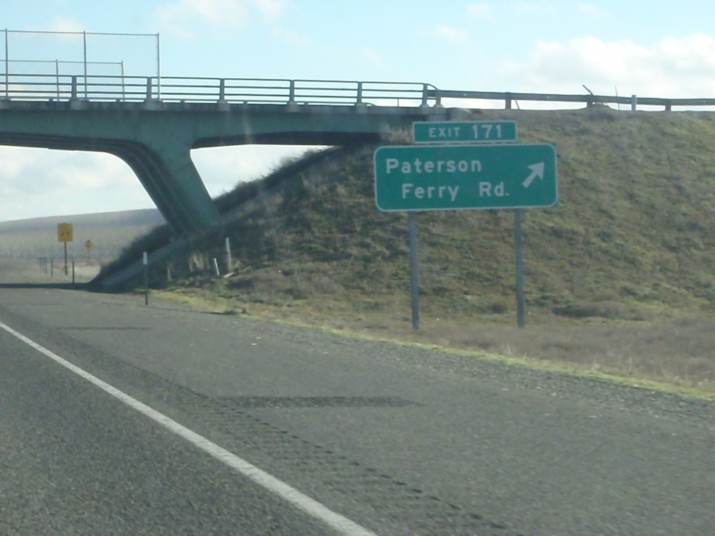
I-84 East - Exit 171
I-84 east at Exit 171 - Patterson Ferry Road.
Taken 01-19-2011

 Boardman
Morrow County
Oregon
United States
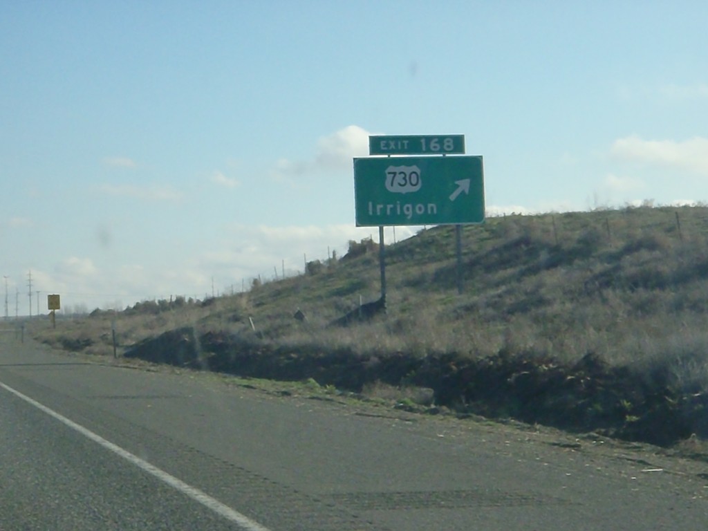
I-84 East - Exit 168
I-84 east at Exit 168 - US-730/Irrigon. The internal Oregon State Highway 2 - The Columbia River Highway leaves I-84 here and joins US-730. I-84 continues east as Oregon State Highway 6 - The Old Oregon Trail Highway.
Taken 01-19-2011


 Boardman
Morrow County
Oregon
United States
I-84 East - Exit 165
I-84 east at Exit 165 - Port of Morrow
Taken 01-19-2011

 Boardman
Morrow County
Oregon
United States
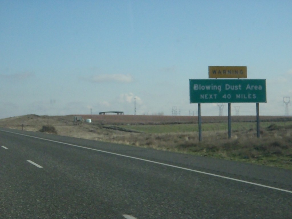
I-84 East - Blowing Dust Area
Blowing Dust Area next 40 miles on I-84 east. This area is roughly between Boardman and Pendleton.
Taken 01-19-2011

 Boardman
Morrow County
Oregon
United States
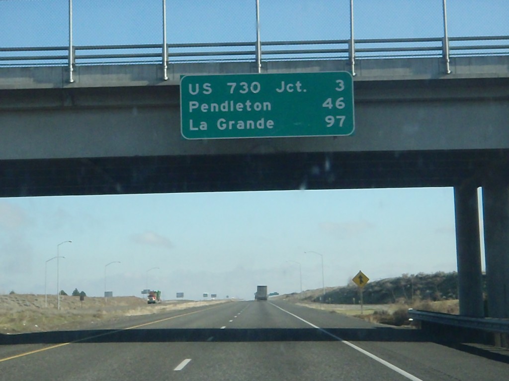
I-84 East - Distance Marker
Distance marker at Boardman Interchange. Distance to US-730 Jct., Pendleton, and La Grande.
Taken 01-19-2011

 Boardman
Morrow County
Oregon
United States
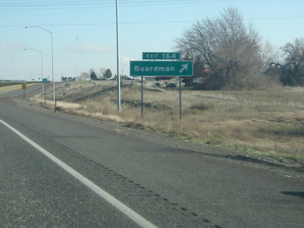
I-84 East - Exit 164
I-84 east at Exit 164 - Boardman
Taken 01-19-2011

 Boardman
Morrow County
Oregon
United States
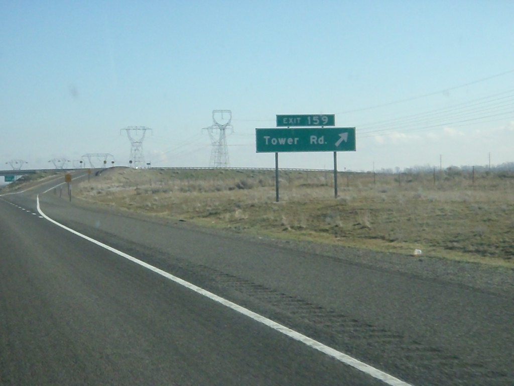
I-84 East - Exit 159
I-84 east at Exit 159 - Tower Road.
Taken 01-19-2011

 Boardman
Morrow County
Oregon
United States
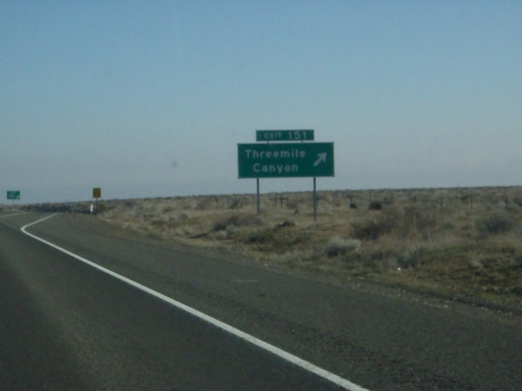
I-84 East - Exit 151
I-84 east at Exit 151 - Threemile Canyon
Taken 01-19-2011

 Boardman
Morrow County
Oregon
United States
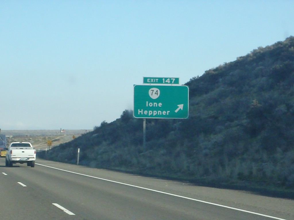
I-84 East - Exit 147
I-84 east at Exit 147 - OR-74/Ione/Heppner.
Taken 01-19-2011


 Ione
Gilliam County
Oregon
United States
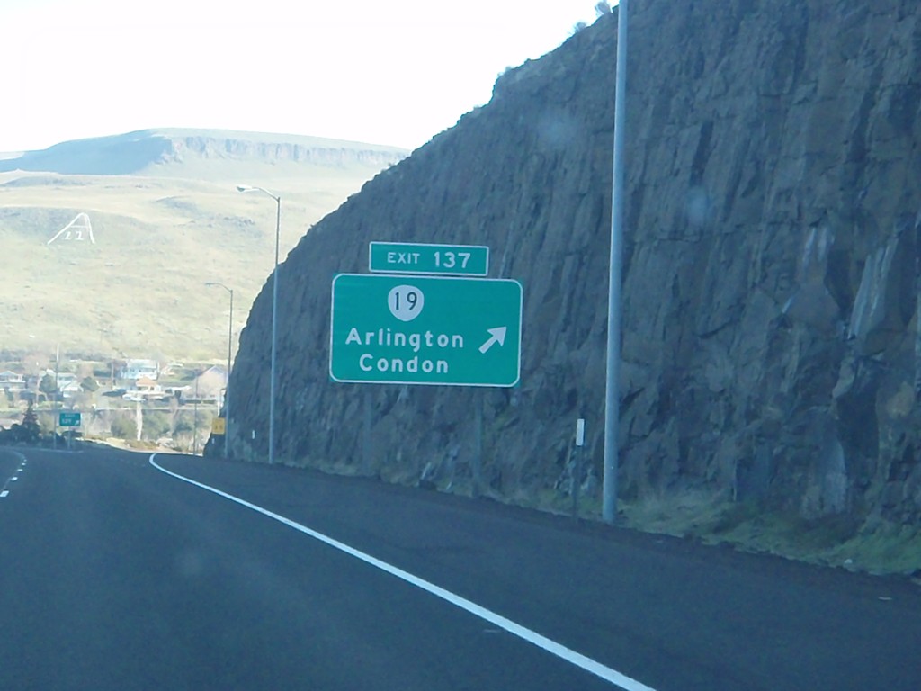
I-84 East - Exit 137
I-84 east at Exit 137 - OR-19/Arlington/Condon.
Taken 01-19-2011

 Arlington
Gilliam County
Oregon
United States
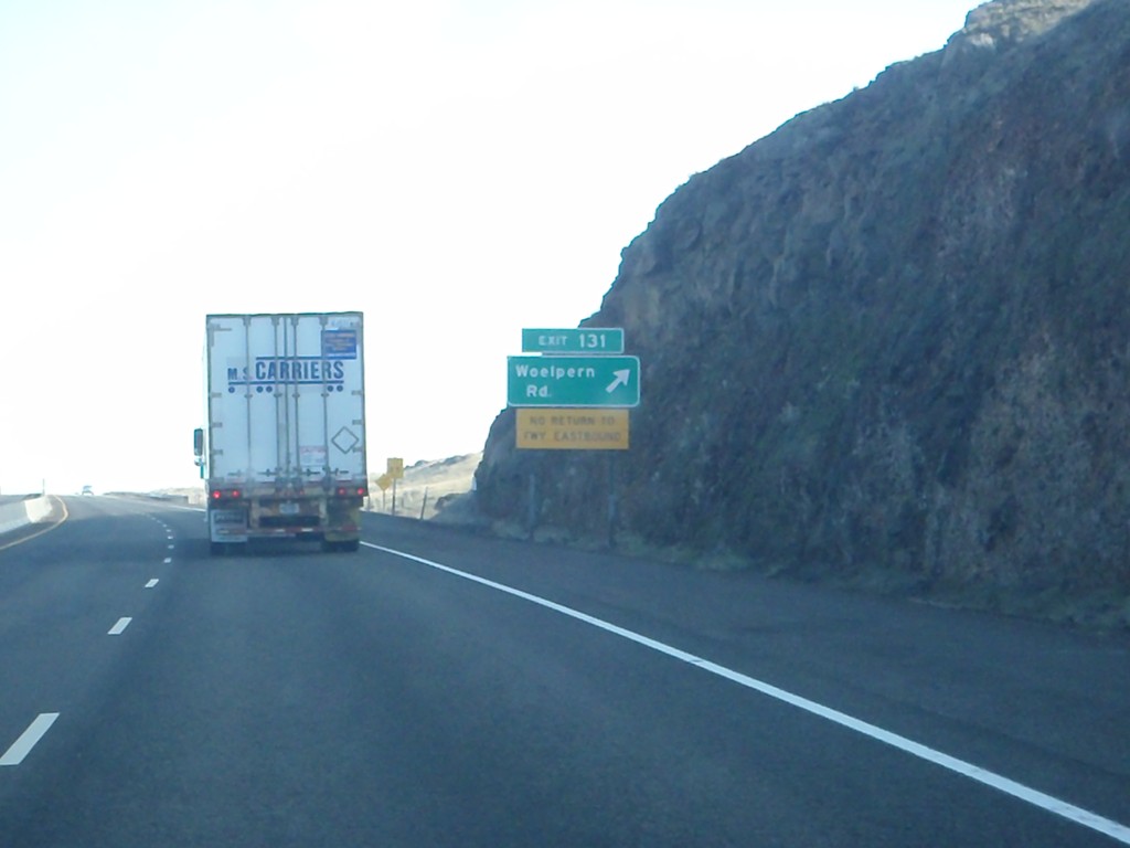
I-84 East - Exit 131
I-84 east at Exit 131 - Woelpern Road. Exit 131 is an eastbound only exit, and only returns back to the freeway westbound.
Taken 01-19-2011

 Arlington
Gilliam County
Oregon
United States
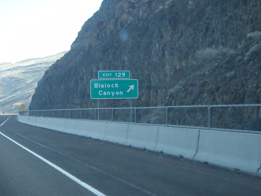
I-84 East - Exit 129
I-84 east at Exit 129 - Blalock Canyon.
Taken 01-19-2011

 Arlington
Gilliam County
Oregon
United States