Signs Tagged With Big Green Sign
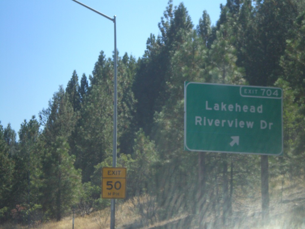
I-5 South - Exit 704
I-5 South at Exit 704 - Lakehead/Riverview Drive.
Taken 09-25-2010
 Lakehead-Lakeshore
Shasta County
California
United States
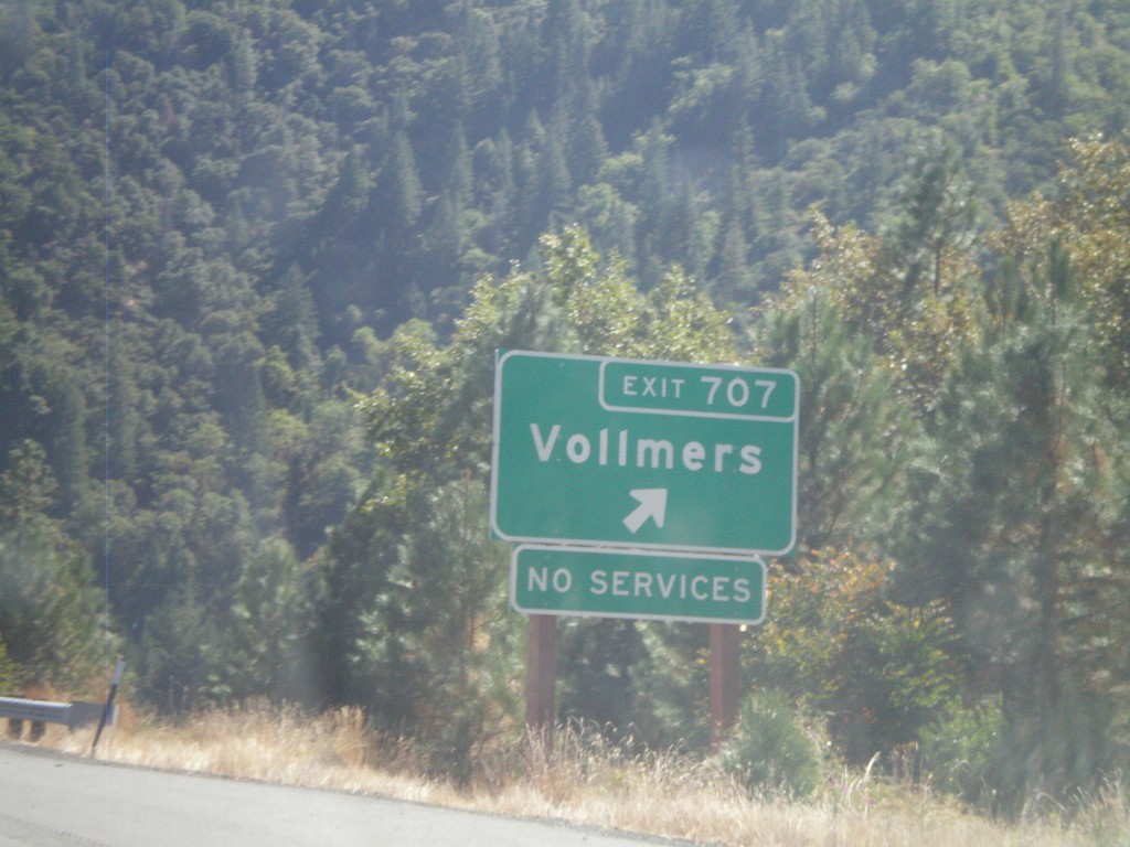
I-5 South - Exit 707
I-5 south at Exit 707 - Vollmers.
Taken 09-25-2010
 Vollmers
Shasta County
California
United States
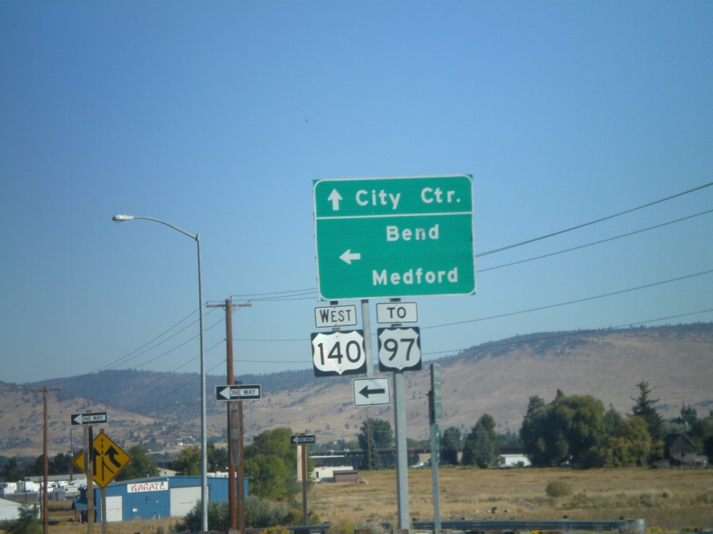
Washburn Way North at OR-140 West
Washburn Way north at OR-140 west to Medford and Bend, and US-97. Continue north on Washburn Way for City Center (Klamath Falls). The OR-140 shield is incorrectly represented as a US shield.
Taken 09-25-2010
 Klamath Falls
Klamath County
Oregon
United States
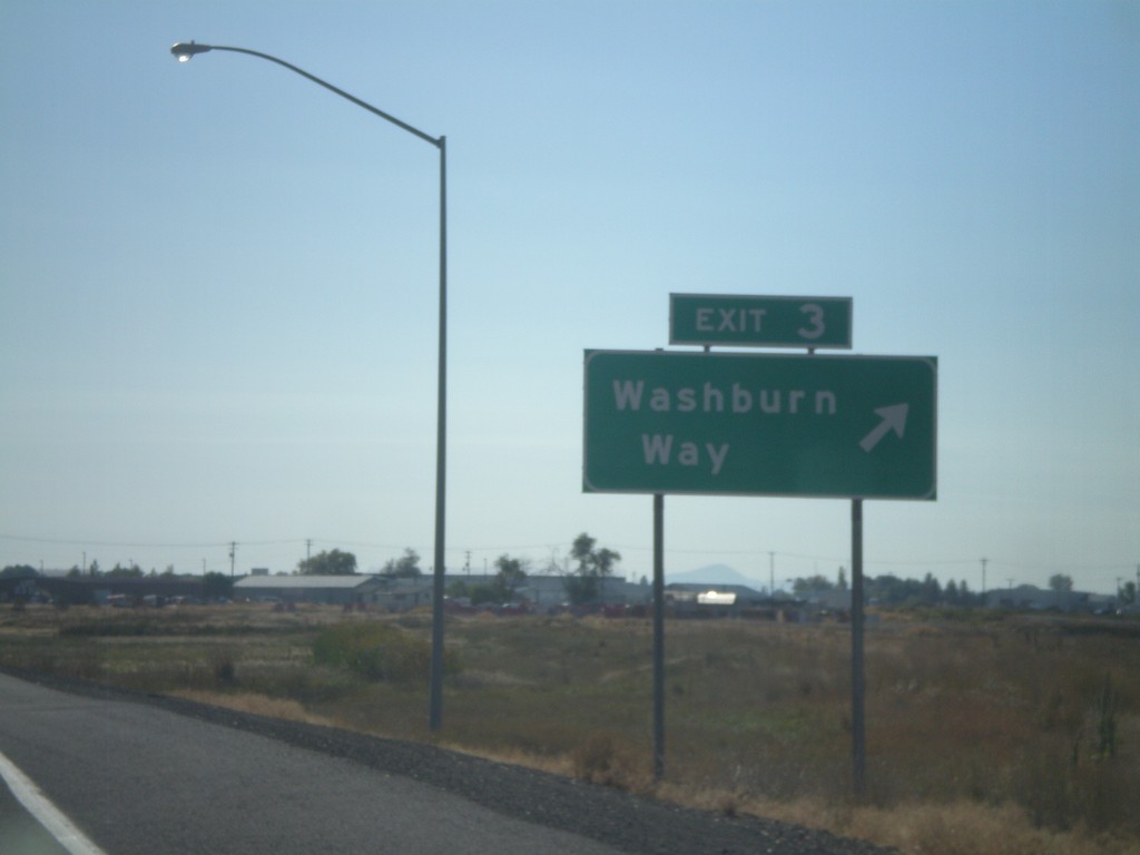
OR-140 East - Exit 3
OR-140 east at Exit 3 - Washburn Way. OR-140 crosses south of Klamath Falls proper along the Southside Expressway.
Taken 09-25-2010
 Klamath Falls
Klamath County
Oregon
United States
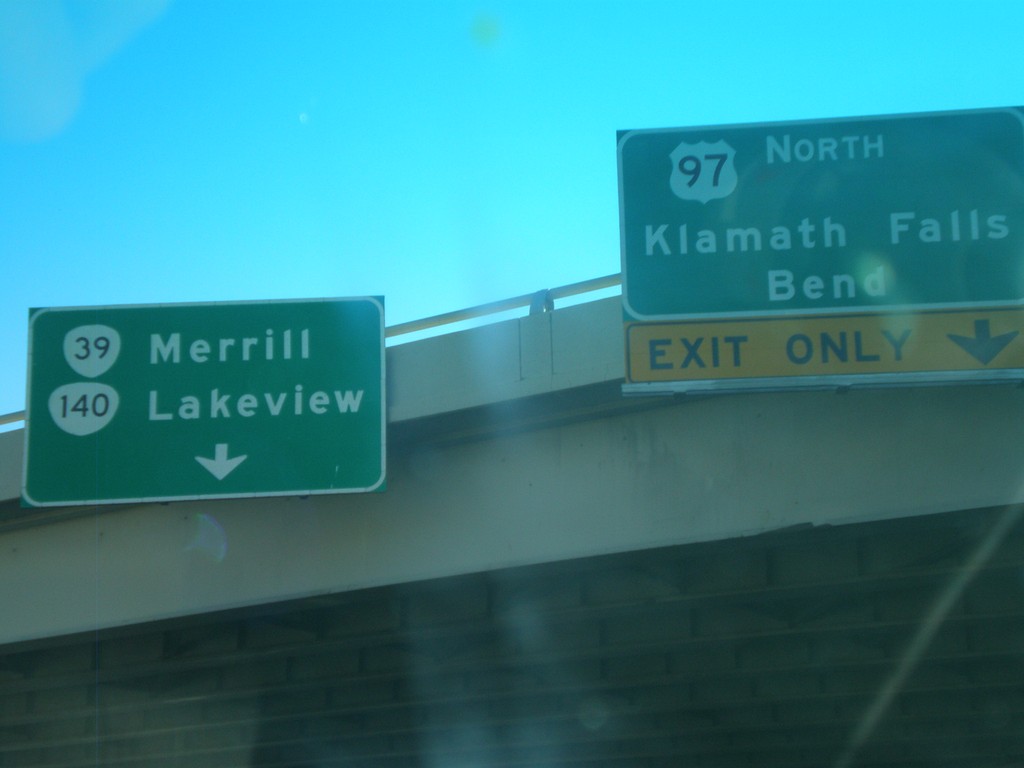
OR-140 East at US-97 North
OR-140 east at US-97 north. Use US-97 north of Klamath Falls and Bend. Continue east on OR-140 for Lakeview, and OR-39 to Merill. OR-140 meets OR-39 on the east side of Klamath Falls.
Taken 09-25-2010


 Klamath Falls
Klamath County
Oregon
United States
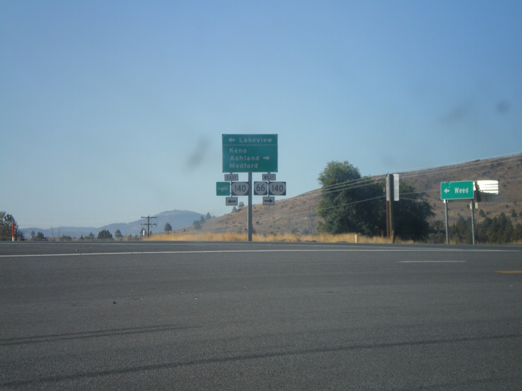
US-97 South at OR-66/OR-140
US-97 south at OR-66/OR-140 junction. Use OR-66/OR-140 west for Keno, Ashland, and Medford. Use OR-140 east for Lakeview. This is the eastern end of OR-66.
Taken 09-25-2010


 Klamath Falls
Klamath County
Oregon
United States
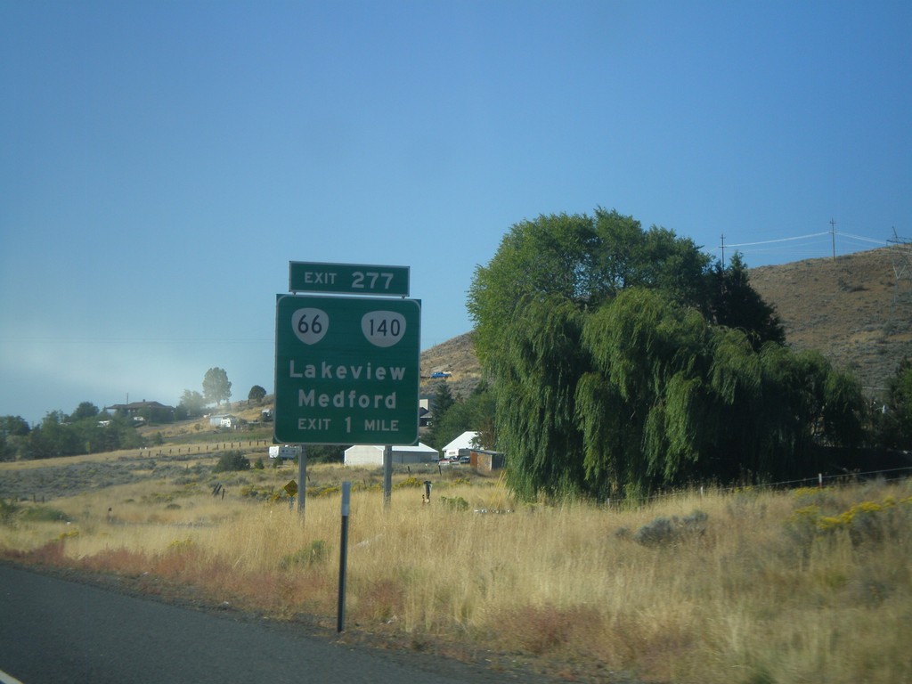
US-97 South - Exit 277
US-97 south approaching Exit 277 - OR-66/OR-140/Lakeview/Medford.
Taken 09-25-2010


 Klamath Falls
Klamath County
Oregon
United States
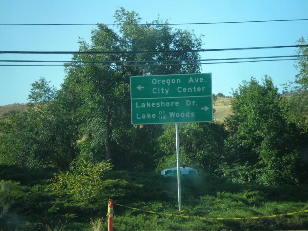
US-97 South at Oregon Ave./Lakeshore Drive
US-97 south offramp at Oregon Ave./Lakeshore Drive. Use Oregon Ave. for City Center (Klamath Falls). Use Lakeshore Drive for Lake of the Woods
Taken 09-25-2010
 Klamath Falls
Klamath County
Oregon
United States
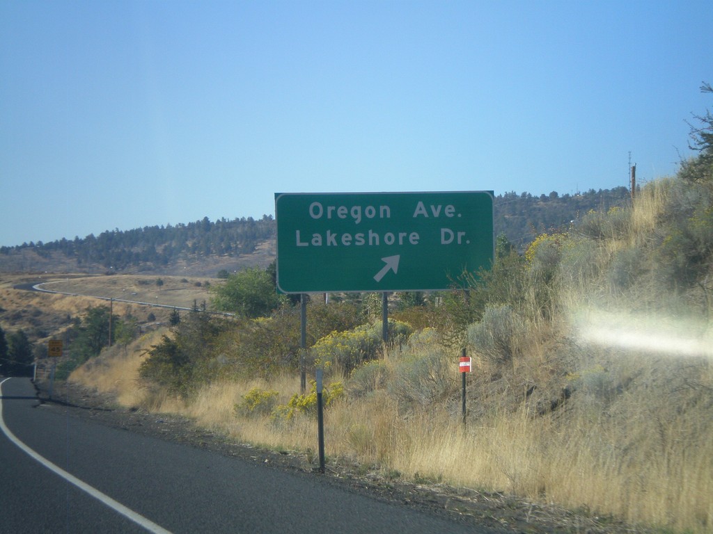
US-97 South at Oregon Ave./Lakeshore Drive Exit
US-97 south at Oregon Ave./Lakeshore Drive exit. Oregon Ave. heads east into downtown Klamath Falls. Lakeshore Drive follows the west shore of Klamath Lake before joining up with OR-140.
Taken 09-25-2010
 Klamath Falls
Klamath County
Oregon
United States
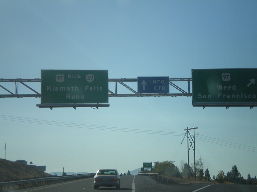
US-97 South at OR-39/Bus. US-97
US-97 south at OR-39/Bus.US-97 south to Klamath Falls and Reno (Nevada). US-97 continues south towards Weed and San Francisco (California).
Taken 09-25-2010


 Klamath Falls
Klamath County
Oregon
United States
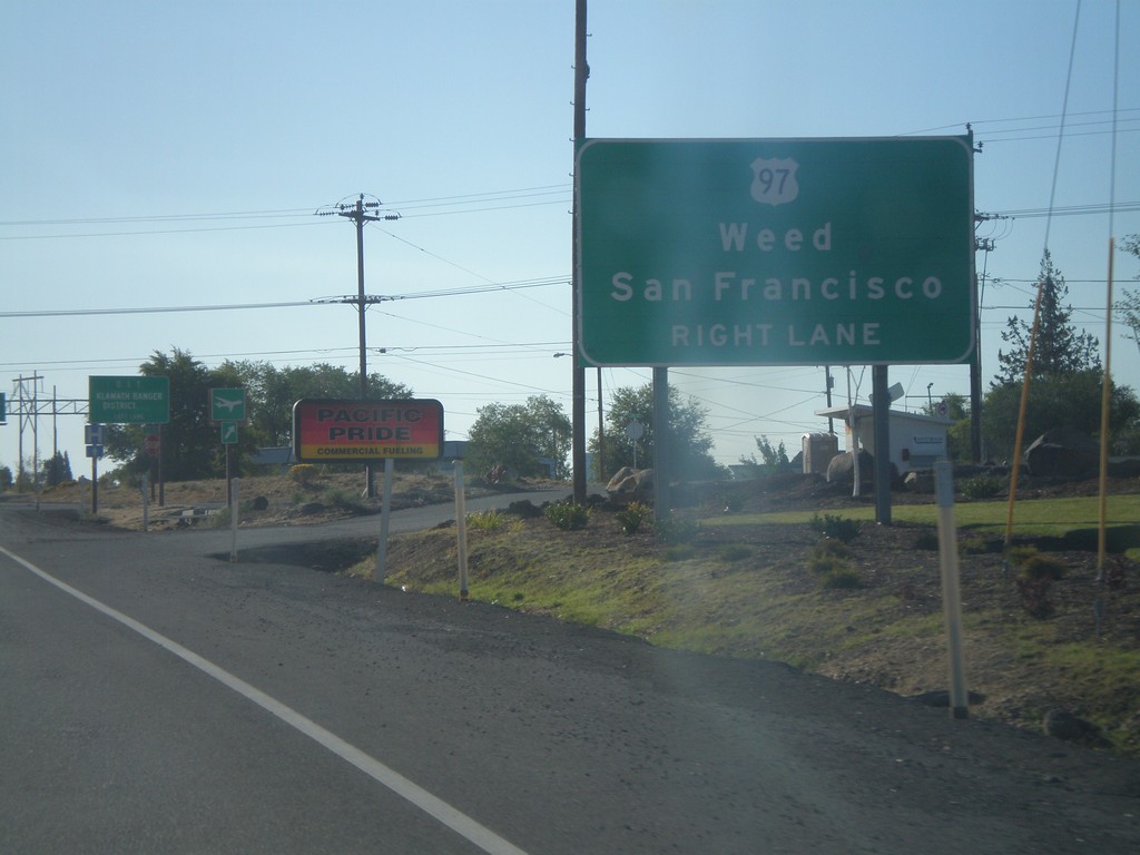
US-97 South Approaching Bus. US-97/OR-39
US-97 south approaching Bus. US-97/OR-39. Continue south on US-97 for Weed and San Francisco.
Taken 09-25-2010


 Klamath Falls
Klamath County
Oregon
United States
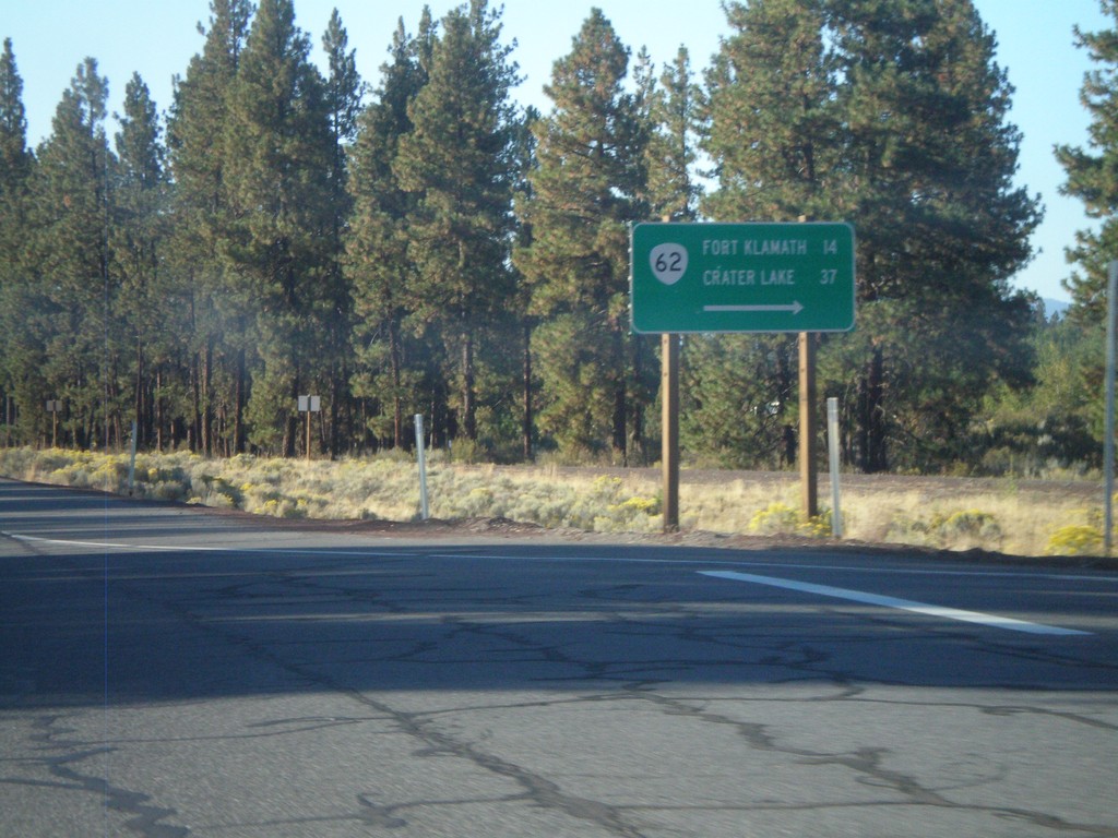
US-97 South at OR-62
US-97 south at OR-62 to Fort Klamath and Crater Lake.
Taken 09-25-2010

 Chiloquin
Klamath County
Oregon
United States
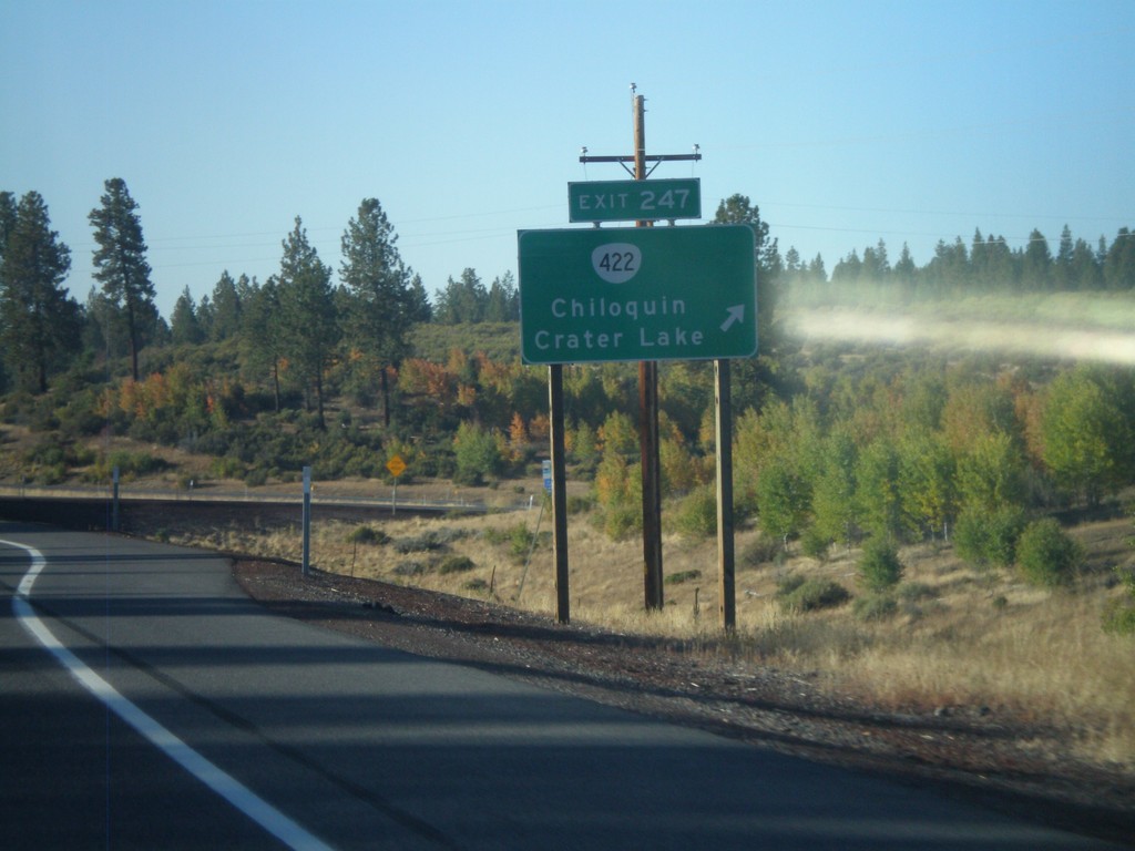
US-97 South - Exit 247
US-97 south at Exit 247 - OR-422/Chiloquin/Crater Lake.
Taken 09-25-2010

 Chiloquin
Klamath County
Oregon
United States
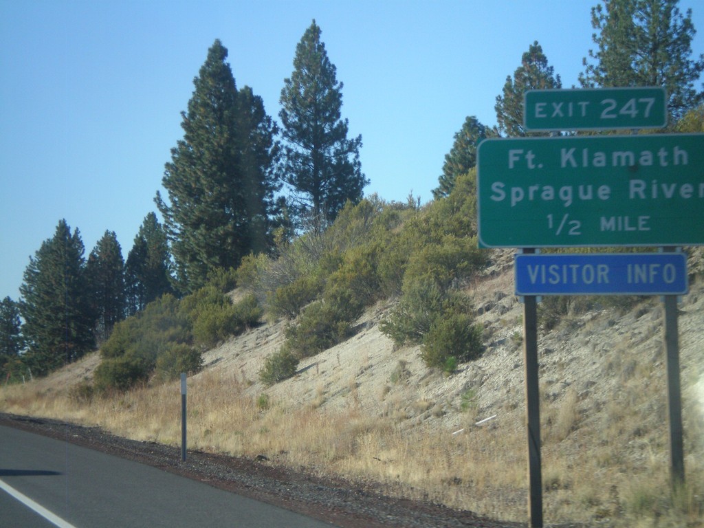
US-97 South - Exit 247
US-97 south approaching Exit 247 - Fort Klamath/Sprague River.
Taken 09-25-2010

 Chiloquin
Klamath County
Oregon
United States
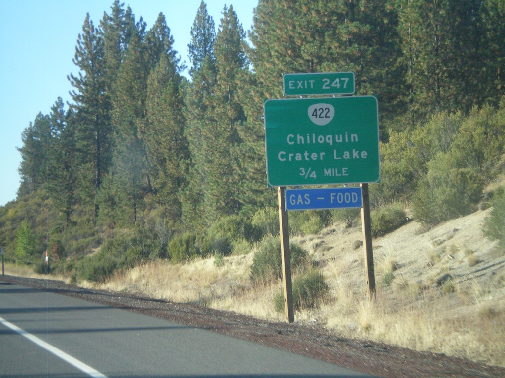
US-97 South - Exit 247
US-97 south approaching Exit 247 - OR-422/Chiloquin/Crater Lake.
Taken 09-25-2010

 Chiloquin
Klamath County
Oregon
United States
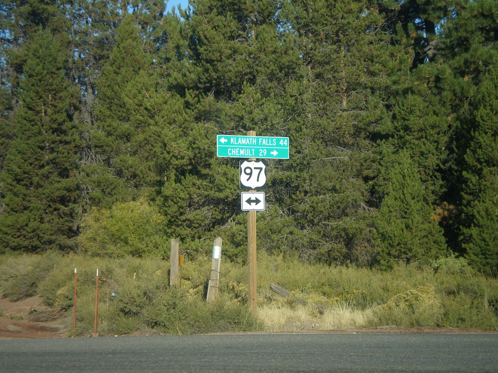
Silver Lake Road at US-97
Silver Lake Road at US-97. Use US-97 south for Klamath Falls. Use US-97 north for Chemult.
Taken 09-25-2010
 Chiloquin
Klamath County
Oregon
United States
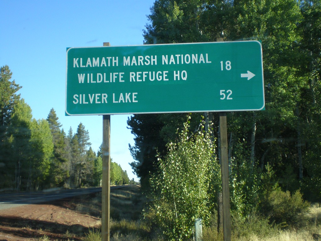
US-97 North - Silver Lake Road
US-97 north at Silver Lake Road. Use Silver Lake Road for Klamath Marsh National Wildlife Refuge HQ and Silver Lake.
Taken 09-25-2010
 Chiloquin
Klamath County
Oregon
United States
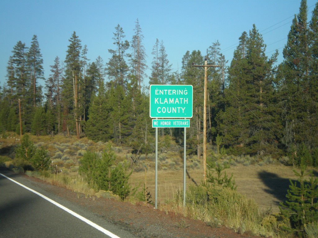
Silver Lake Road - Entering Klamath County
Entering Klamath County on Silver Lake Road west. All Klamath County welcome signs display the text, We Honor Veterans.
Taken 09-25-2010
Silver Lake Klamath County Oregon United States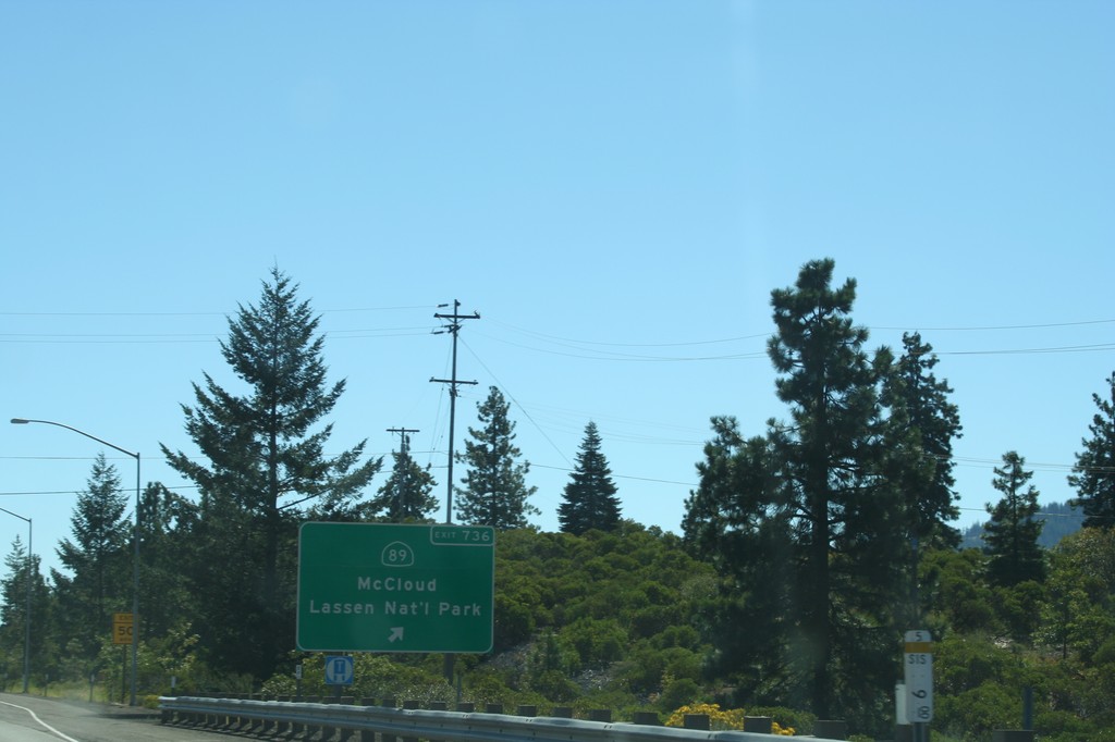
I-5 South - Exit 736
I-5 south at Exit 736 - CA-89/Lassen National Park/McCloud. This is the northern end of CA-89, which runs generally along the east side of the Sierra Nevada.
Taken 09-25-2010

 Mount Shasta
Siskiyou County
California
United States
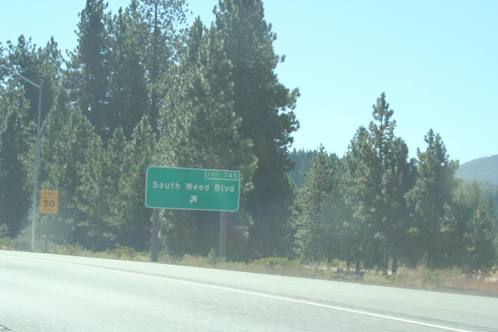
I-5 South - Exit 745
I-5 south at Exit 745 - South Weed Blvd.
Taken 09-25-2010
 Weed
Siskiyou County
California
United States
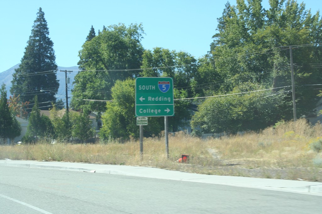
End US-97 South at I-5
End US-97 South at I-5 south onramp (Exit 747). Turn left for I-5 south to Redding. Turn left for the College of the Siskiyous.
Taken 09-25-2010

 Weed
Siskiyou County
California
United States
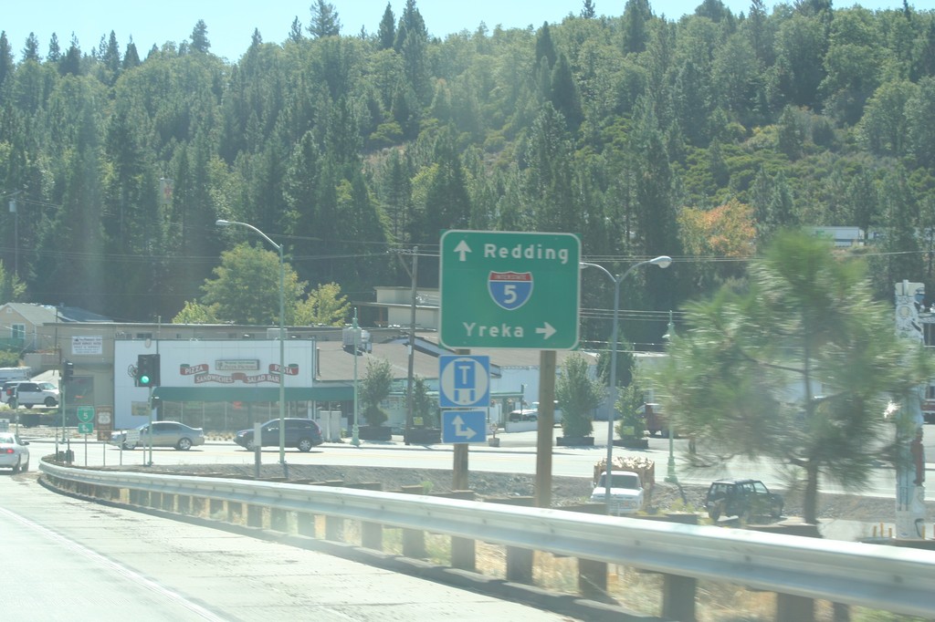
US-97 South at Weed Blvd.
US-97 south at Weed Blvd. Use Weed Blvd. north (BL-5/CA-265) for I-5 to Yreka. Use Weed Blvd. south (BL-5/US-97) to continue on US-97 and for I-5 south to Redding.
Taken 09-25-2010


 Weed
Siskiyou County
California
United States
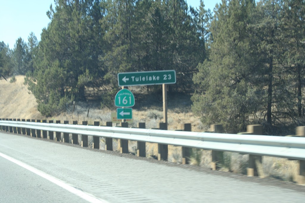
US-97 South at CA-161
US-97 south at CA-161 east to Tulelake. Tulelake is 23 miles east of here.
Taken 09-25-2010

 Dorris
Siskiyou County
California
United States
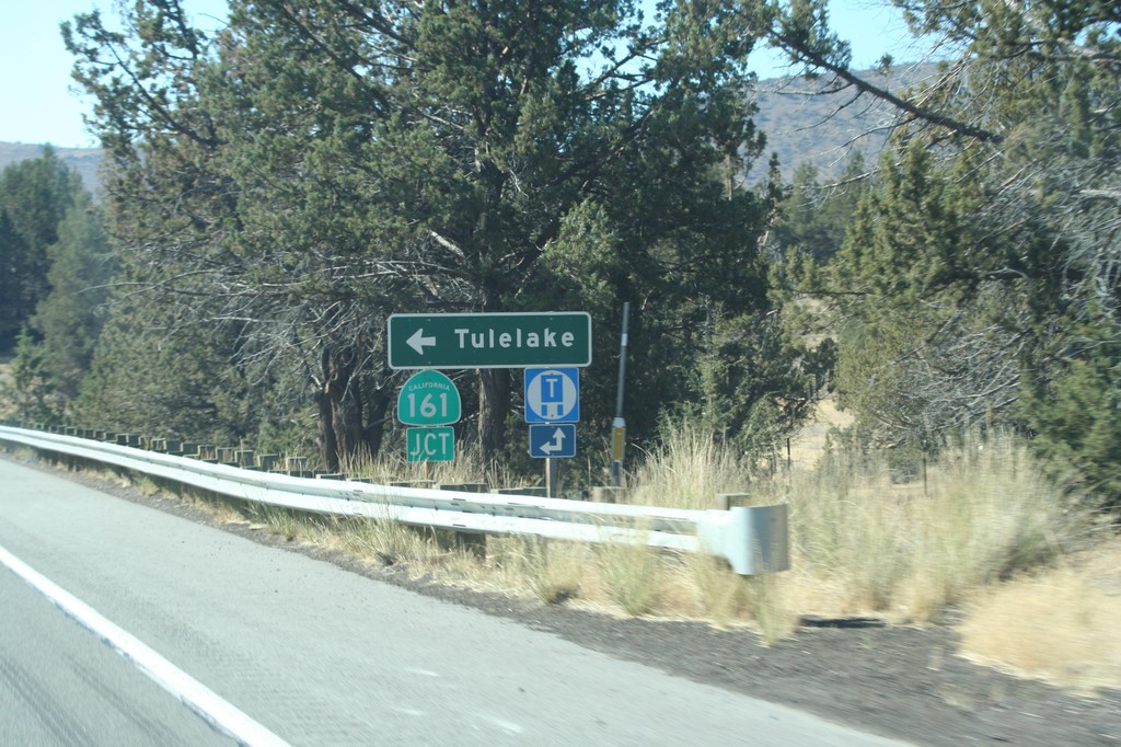
US-97 South Approaching CA-161
US-97 south approaching CA-161 east to Tulelake. CA-161 parallels the Oregon-California border east across the Klamath Basin.
Taken 09-25-2010

 Dorris
Siskiyou County
California
United States
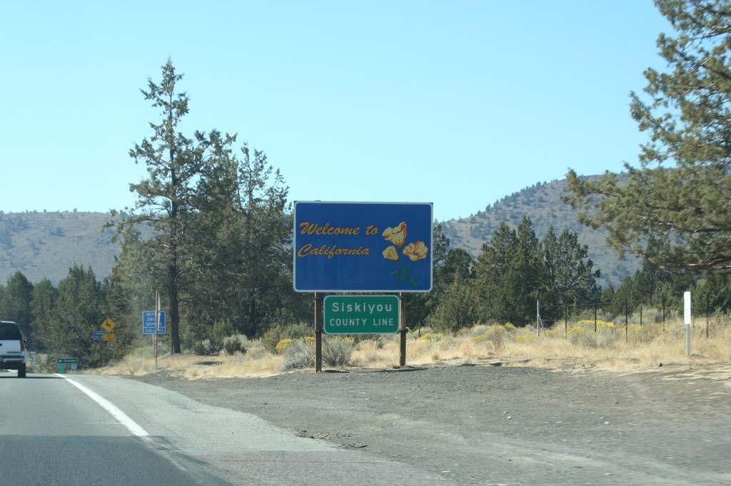
Welcome To California - US-97 South
Welcome to California on US-97 south. Siskiyou County Line. Taken at the Oregon-California border.
Taken 09-25-2010
 Dorris
Siskiyou County
California
United States