Signs Tagged With Big Green Sign
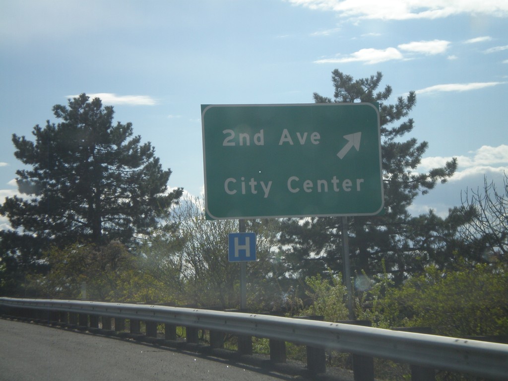
US-12 West - 2nd Ave Interchange
US-12 West at 2nd Ave Interchange - 2nd Ave./City Center.
Taken 04-28-2011
 Walla Walla
 County
Washington
United States
Walla Walla
Walla Walla County
Washington
United States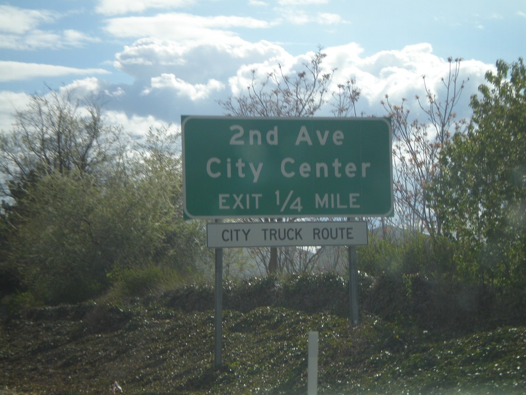
US-12 West Approaching 2nd Ave. Interchange
US-12 West approaching 2nd Ave. Interchange - 2nd Ave./City Center.
Taken 04-28-2011
Walla Walla
Walla Walla County
Washington
United States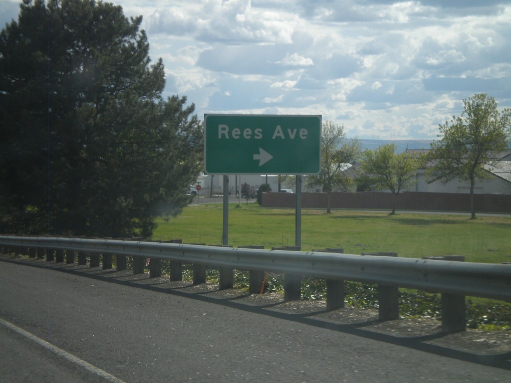
US-12 West - Rees Ave Interchange
US-12 West at Rees Ave interchange.
Taken 04-28-2011
Walla Walla
Walla Walla County
Washington
United States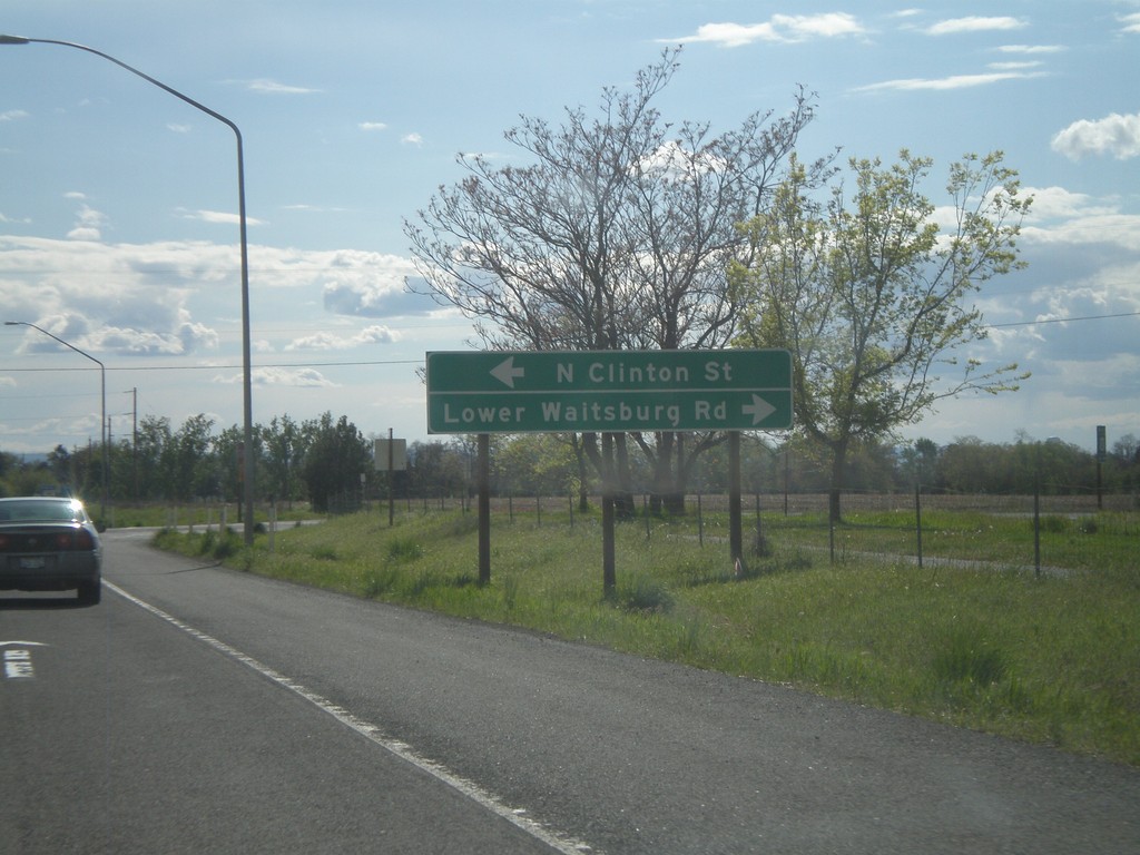
US-12 West - Lower Waitsburg Road/Clinton St.
US-12 West at Lower Waitsburg Road/Clinton St. intersection.
Taken 04-28-2011
Walla Walla
Walla Walla County
Washington
United States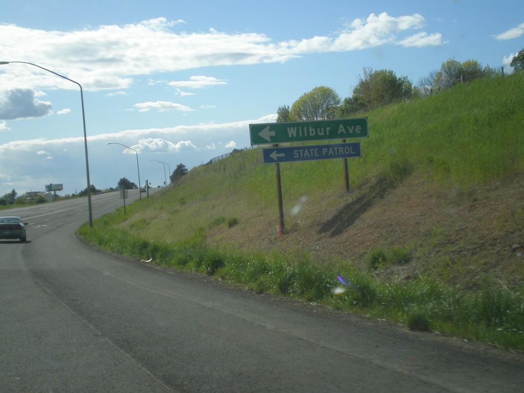
US-12 West - Wilbur Ave.
US-12 west at Wilbur Ave. Use Wilbur Ave. for the State Patrol.
Taken 04-28-2011
Walla Walla
Walla Walla County
Washington
United States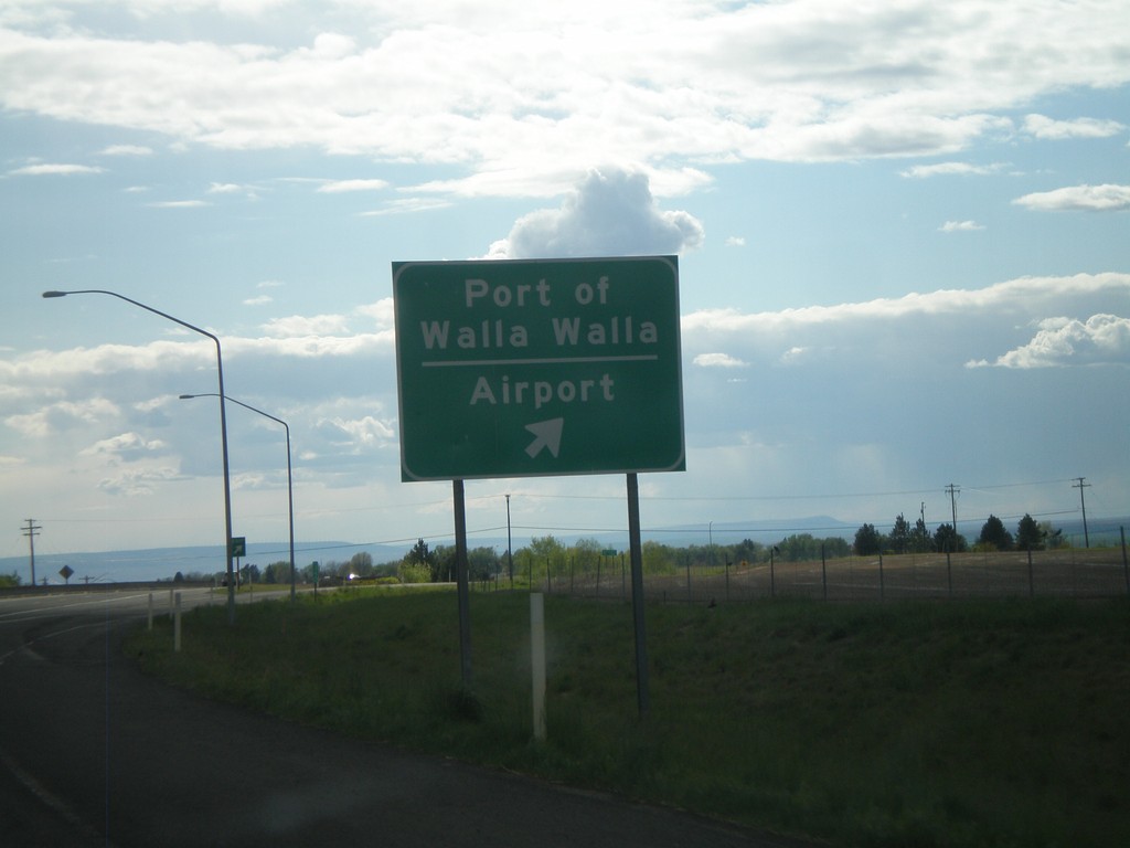
US-12 West - Airport Interchange
US-12 West at Airport Interchange - Port of Walla Walla/Airport.
Taken 04-28-2011
Walla Walla
Walla Walla County
Washington
United States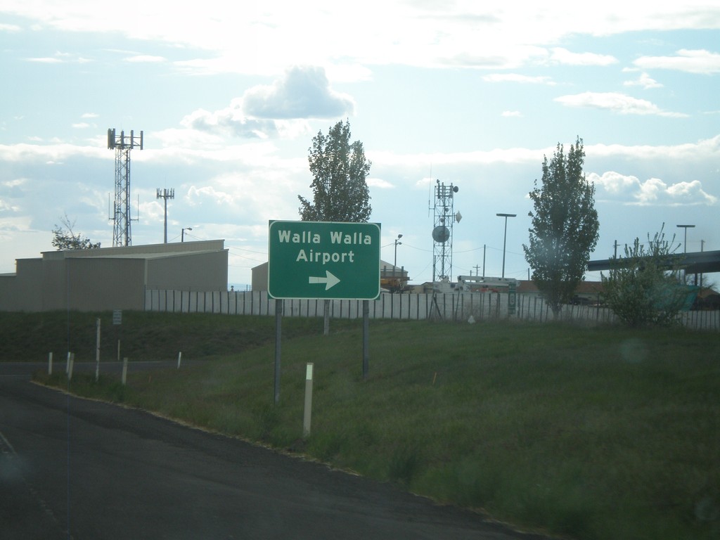
US-12 West - Walla Walla Airport
US-12 west at Walla Walla Airport junction.
Taken 04-28-2011
Walla Walla
Walla Walla County
Washington
United States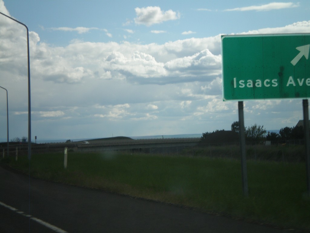
US-12 West - Isaacs Ave. Interchange
US-12 West at Isaacs Ave. Interchange in Walla Walla. This is on the east side of Walla Walla, and is the first entrance from US-12 into the city.
Taken 04-28-2011
Walla Walla
Walla Walla County
Washington
United States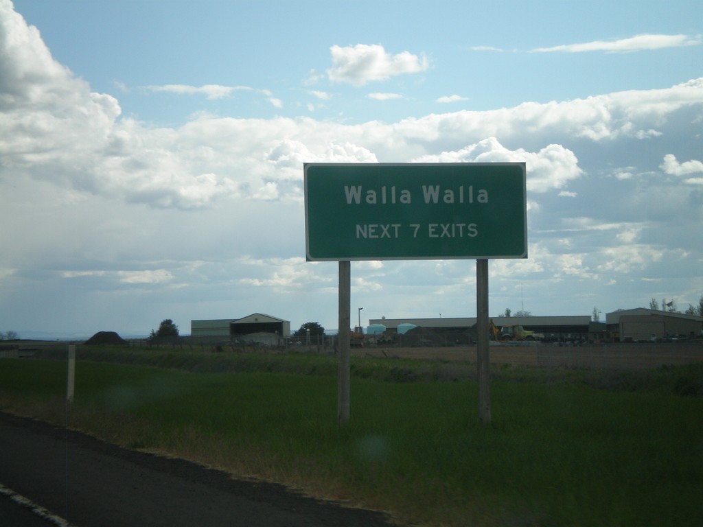
US-12 West - Walla Walla Exits
Walla Walla - Next 7 Exits on US-12 west. US-12 turns into an expressway along the north side of Walla Walla.
Taken 04-28-2011
Walla Walla
Walla Walla County
Washington
United States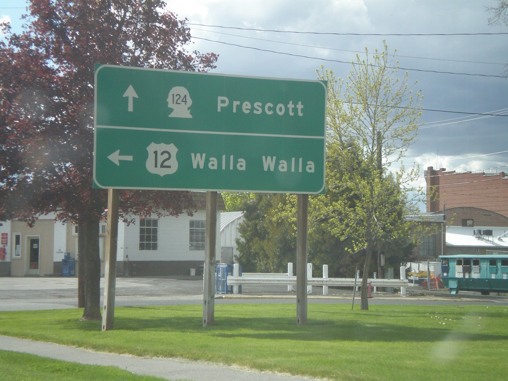
US-12 West at WA-124
US-12 west at WA-124. Continue ahead for WA-124 west to Prescott. Turn left for US-12 west to Walla Walla.
Taken 04-28-2011
 Waitsburg
Walla Walla County
Washington
United States
Waitsburg
Walla Walla County
Washington
United States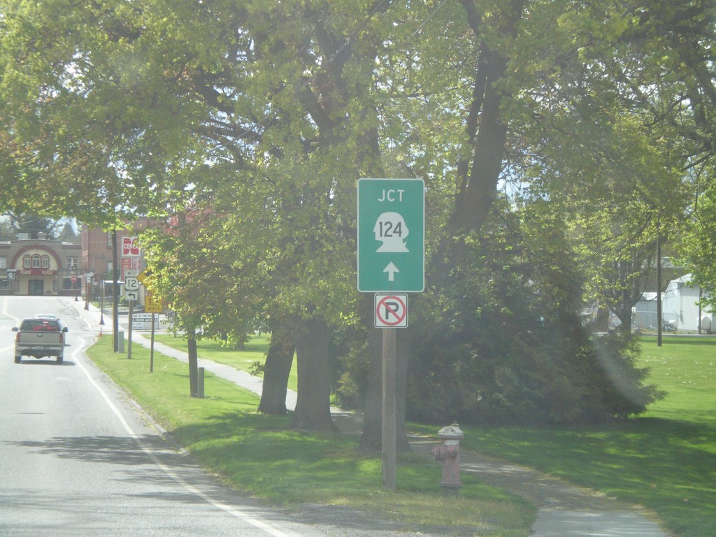
US-12 West Approaching WA-124
US-12 west approaching WA-124 junction in Waitsburg.
Taken 04-28-2011
Waitsburg
Walla Walla County
Washington
United States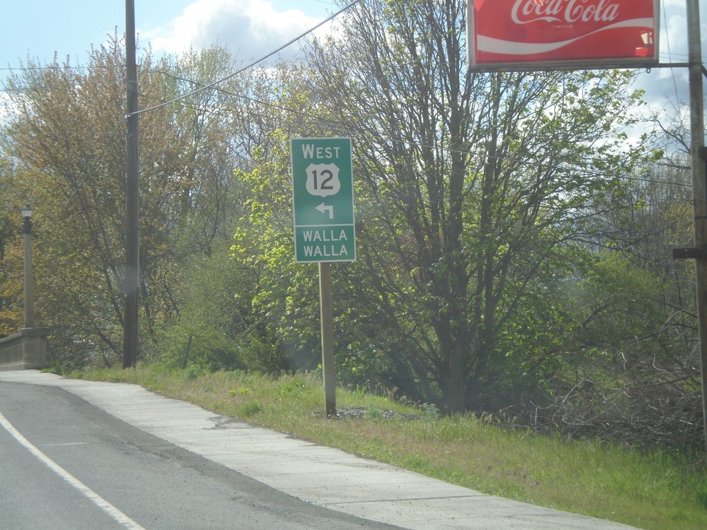
US-12 West Approaching WA-124
US-12 west approaching WA-124 junction in Waitsburg. Turn left at intersection with WA-124 to continue west on US-12 towards Walla Walla.
Taken 04-28-2011
Waitsburg
Walla Walla County
Washington
United States
US-12 West - Walla Walla County
Entering Walla Walla County on US-12 west.
Taken 04-28-2011
Dayton
Walla Walla County
Washington
United States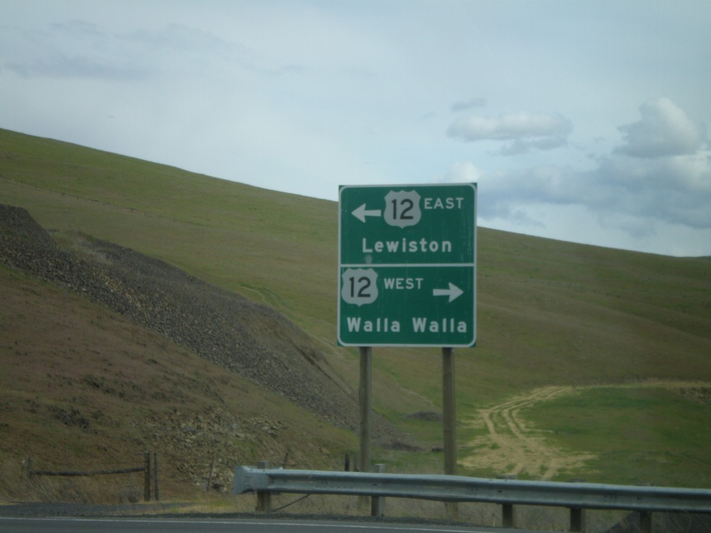
End WA-261 at US-12
End WA-261 east at US-12. Turn left for US-12 east to Lewiston (Idaho); turn right for US-12 west to Walla Walla.
Taken 04-28-2011
 Dayton
Columbia County
Washington
United States
Dayton
Columbia County
Washington
United States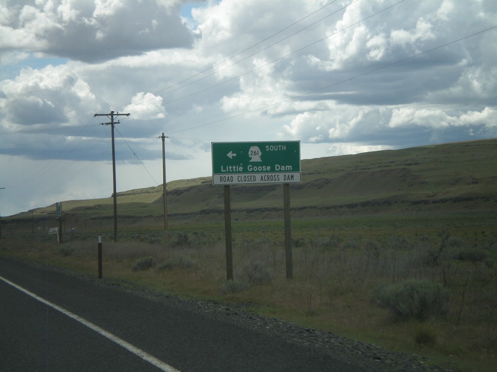
WA-260 West/WA-261 South at Split
WA-260 West/WA-261 South at Split. Turn right to continue south on WA-261 to Little Goose Dam. Currently, the roadway across Little Goose Dam is closed. Little Goose Dam is located on the Snake River in Central Washington.
Taken 04-28-2011
 Washtucna
Franklin County
Washington
United States
Washtucna
Franklin County
Washington
United States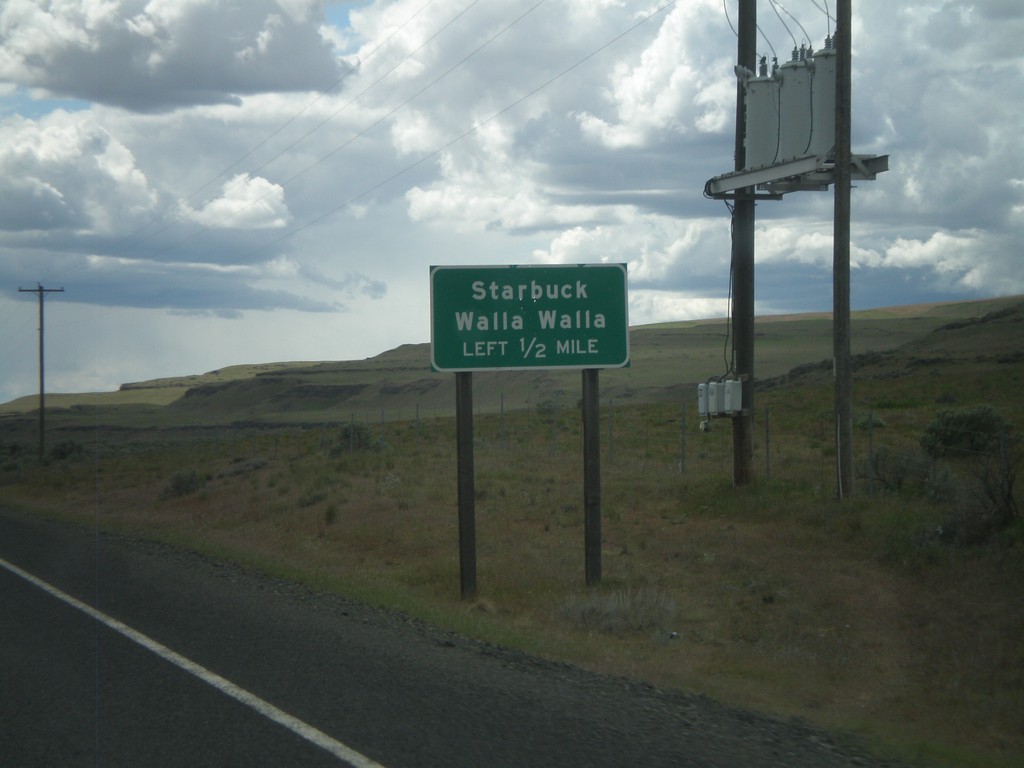
WA-260 West/WA-261 South Approaching WA-261
WA-260 West/WA-261 South approaching WA-261. Turn left to continue south on WA-261 towards Starbuck and Walla Walla.
Taken 04-28-2011
Washtucna
Franklin County
Washington
United States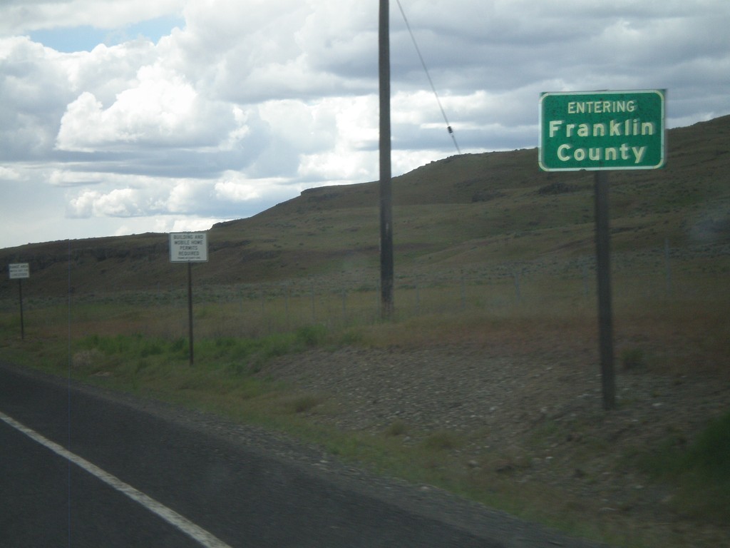
WA-260 West/WA-261 South - Franklin County
Entering Franklin County on WA-260 West/WA-261 south.
Taken 04-28-2011
Washtucna
Franklin County
Washington
United States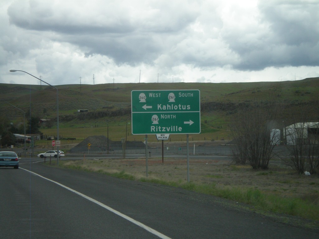
WA-26 West at WA-260/WA-261
WA-26 West at WA-260/WA-261 in Washtucna. Turn left for WA-260 West/WA-261 South to Kahlotus. Turn right on WA-261 North to Ritzville.
Taken 04-28-2011
 Washtucna
Adams County
Washington
United States
Washtucna
Adams County
Washington
United States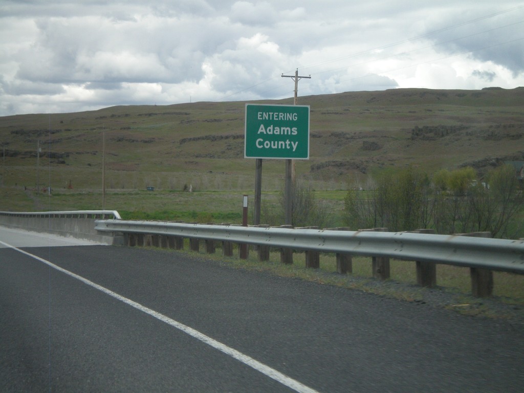
WA-26 - Adams County
Entering Adams County on WA-26 west crossing the Palouse River.
Taken 04-28-2011
Benge
Adams County
Washington
United States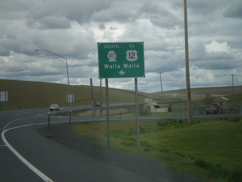
WA-26 West at WA-127
WA-26 West at WA-127. Use WA-127 south for US-12 and Walla Walla.
Taken 04-28-2011
 LaCrosse
Whitman County
Washington
United States
LaCrosse
Whitman County
Washington
United States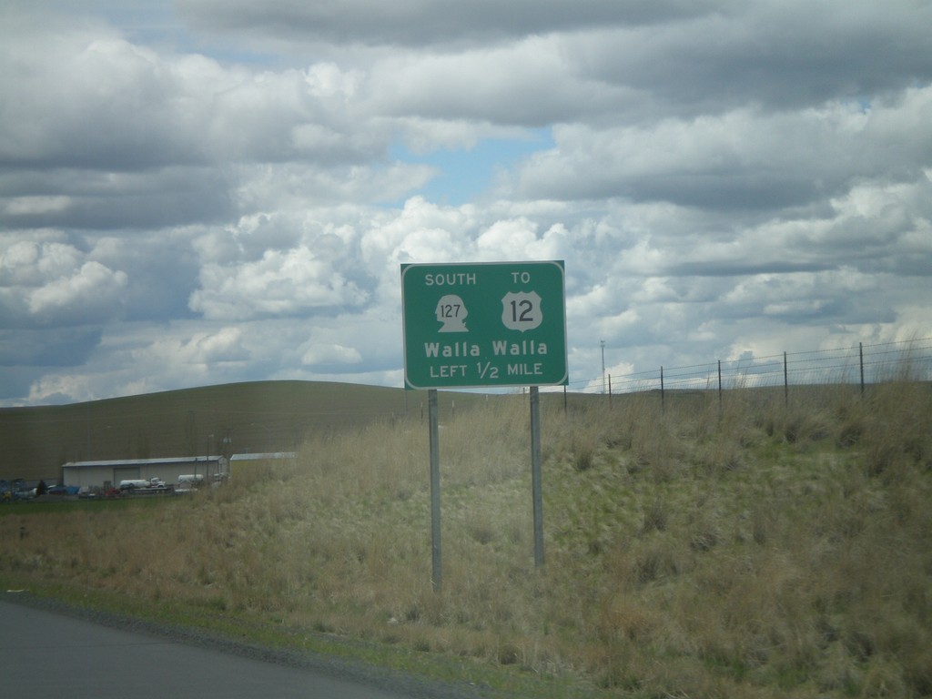
WA-26 West Approaching WA-127
WA-26 west approaching WA-127 south to US-12 and Walla Walla. Access to Walla Walla is via US-12.
Taken 04-28-2011
LaCrosse
Whitman County
Washington
United States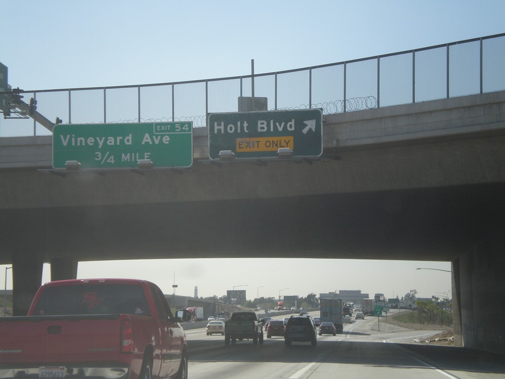
I-10 West - Exits 55A and 54
I-10 west at Exit 55A - Holt Blvd. Approaching Exit 54 - Vineyard Ave.
Taken 02-28-2011
 Ontario
San Bernardino County
California
United States
Ontario
San Bernardino County
California
United States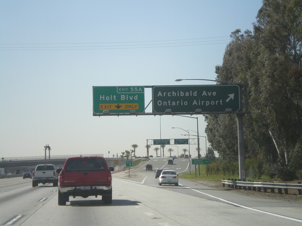
I-10 West - Exits 55B and 55A
I-10 west at Exit 55B - Archibald Ave./Ontario Airport. Approaching Exit 55A - Holt Blvd.
Taken 02-28-2011
Ontario
San Bernardino County
California
United States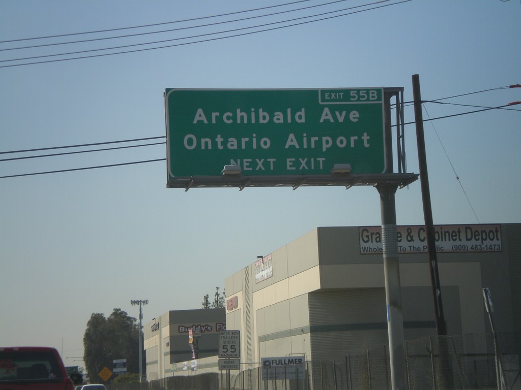
I-10 West Approaching Exit 55B
I-10 west approaching Exit 55B - Archibald Ave./Ontario Airport.
Taken 02-28-2011
Ontario
San Bernardino County
California
United States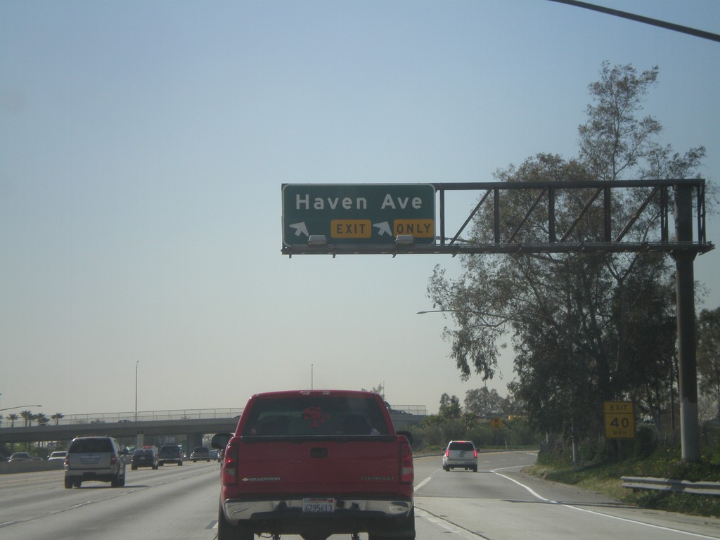
I-10 West - Exit 56
I-10 west at Exit 56 - Haven Ave.
Taken 02-28-2011
Ontario
San Bernardino County
California
United States