Signs Tagged With Big Green Sign
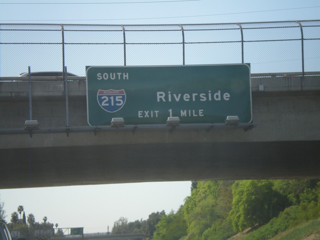
CA-210 West - Exit 75B
CA-210 west approaching Exit 75B - I-215 South/Riverside.
Taken 02-28-2011

 San Bernardino
 County
California
United States
San Bernardino
San Bernardino County
California
United States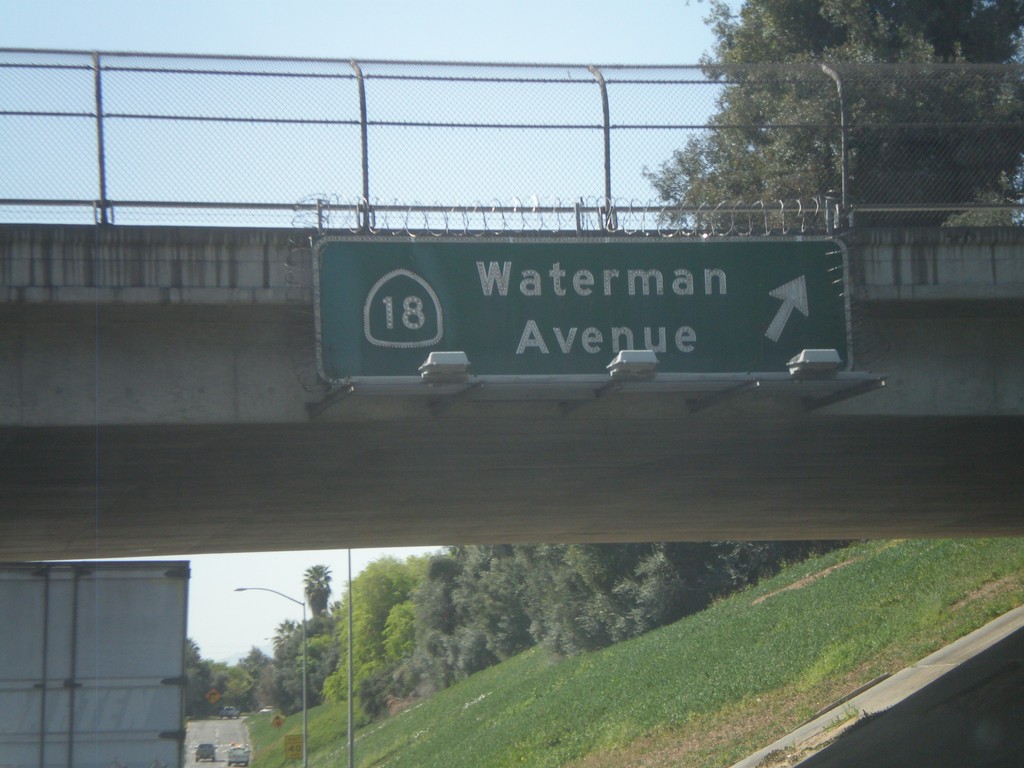
CA-210 West - Exit 76
CA-210 west at Exit 76 - CA-18/Waterman Ave.
Taken 02-28-2011
 San Bernardino
 County
California
United States
San Bernardino
San Bernardino County
California
United States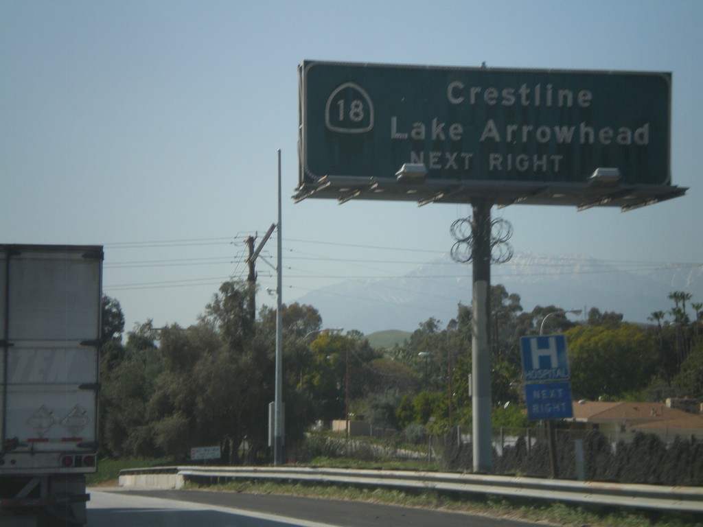
CA-210 West Approaching Exit 76
CA-210 west approaching Exit 76. Use Exit 76 for CA-18/Crestline/Lake Arrowhead.
Taken 02-28-2011
San Bernardino
San Bernardino County
California
United States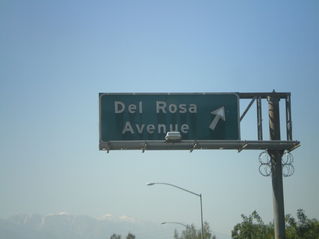
CA-210 West - Exit 78
CA-210 west at Exit 78 - Del Rosa Ave.
Taken 02-28-2011
San Bernardino
San Bernardino County
California
United States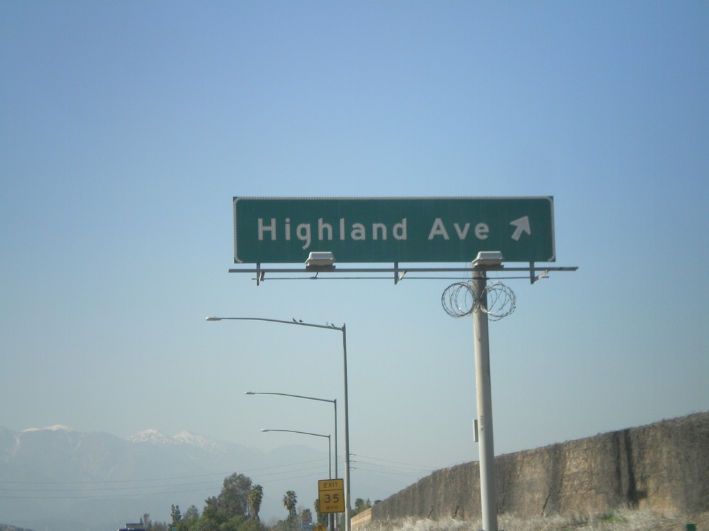
CA-210 West - Exit 79
CA-210 west at Exit 79 - Highland Ave.
Taken 02-28-2011
San Bernardino
San Bernardino County
California
United States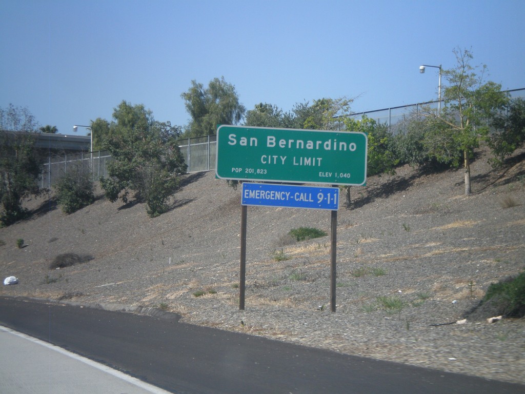
CA-210 West - San Bernardino City Limit
San Bernardino City Limit on CA-210 west. San Bernardino is the county seat of San Bernardino County.
Taken 02-28-2011
Highland
San Bernardino County
California
United States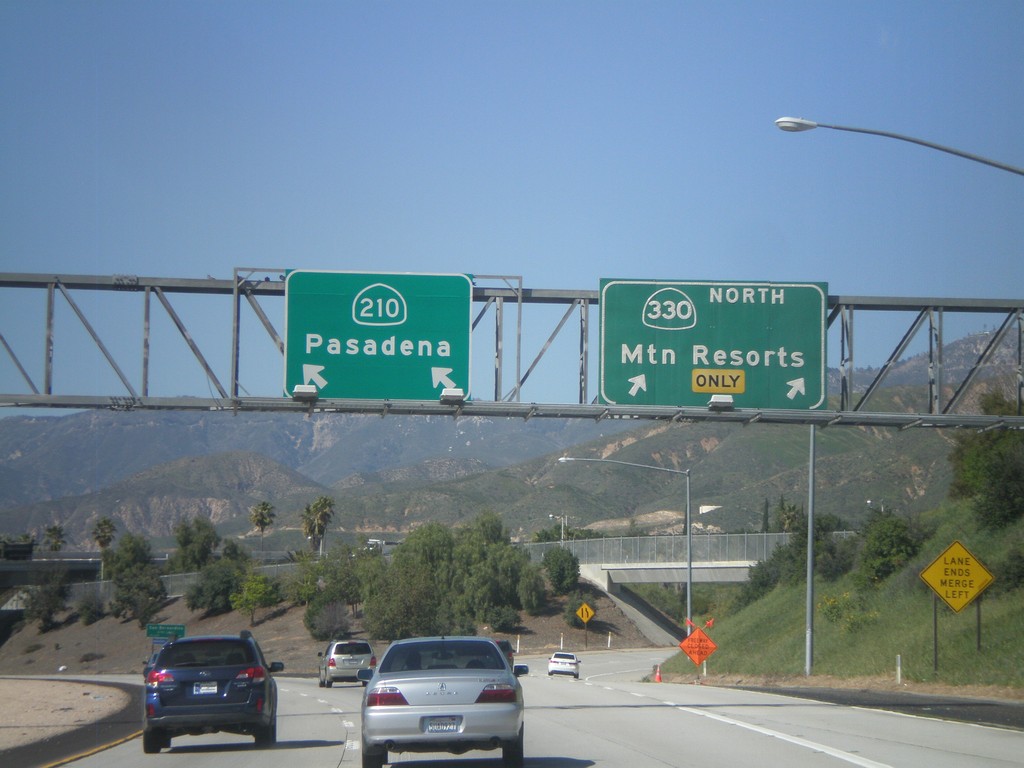
CA-210 West at Exit 81
CA-210 west at Exit 81 - CA-330 North/Mountain Resorts. CA-210 continues west towards Pasadena.
Taken 02-28-2011
 Highland
San Bernardino County
California
United States
Highland
San Bernardino County
California
United States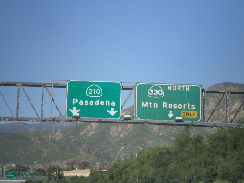
CA-210 West Approaching Exit 81
CA-210 west approaching Exit 81 - CA-330 North/Mountain Resorts. Continue west on CA-210 west for Pasadena.
Taken 02-28-2011
Highland
San Bernardino County
California
United States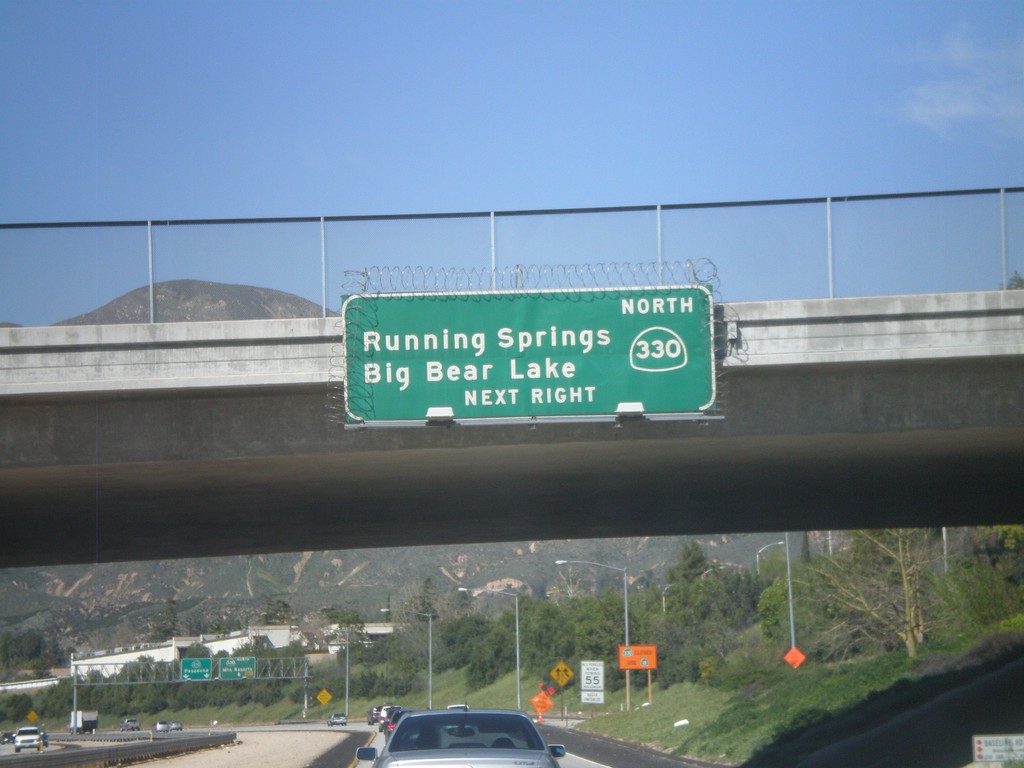
CA-210 West Approaching Exit 81
CA-210 west approaching Exit 81 - CA-330 North/Running Springs/Big Bear Lake.
Taken 02-28-2011
Highland
San Bernardino County
California
United States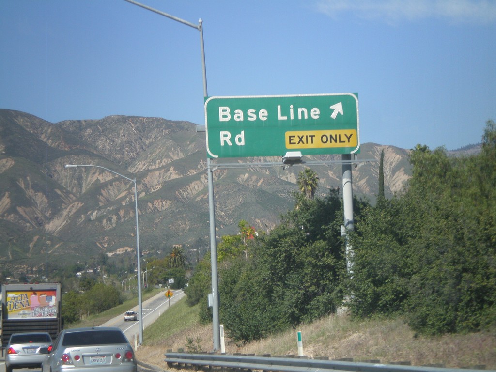
CA-210 West - Exit 82
CA-210 west at Exit 82 - Base Line Road.
Taken 02-28-2011
Highland
San Bernardino County
California
United States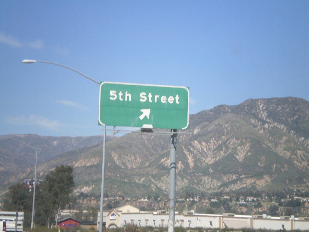
CA-210 West - Exit 85
CA-210 west at Exit 85 - 5th St.
Taken 02-28-2011
Highland
San Bernardino County
California
United States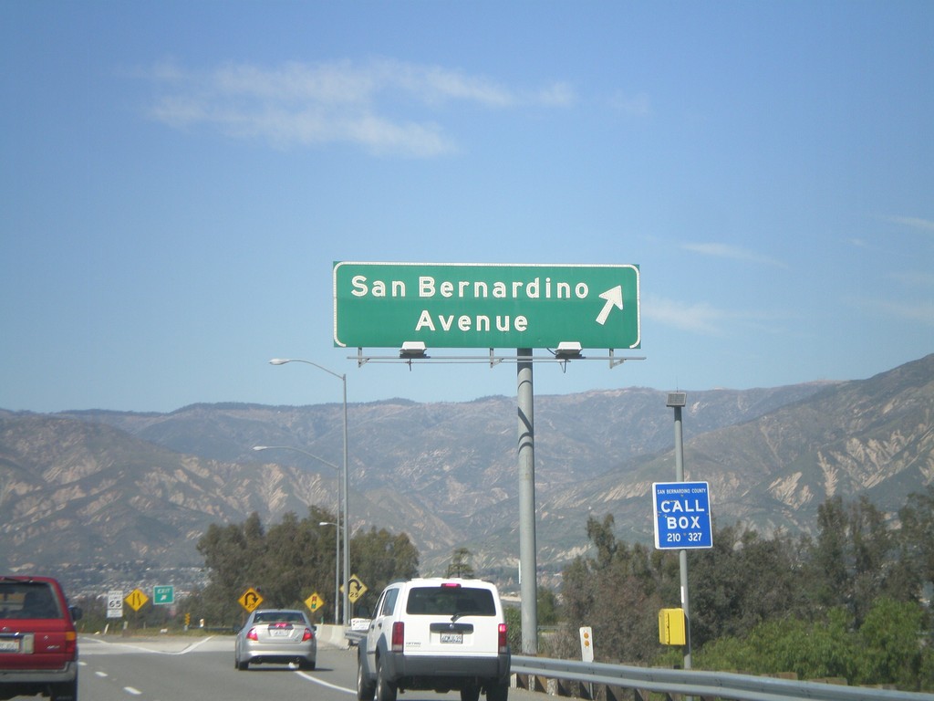
CA-210 West - Exit 84
CA-210 west at Exit 84 - San Bernardino Ave.
Taken 02-28-2011
Redlands
San Bernardino County
California
United States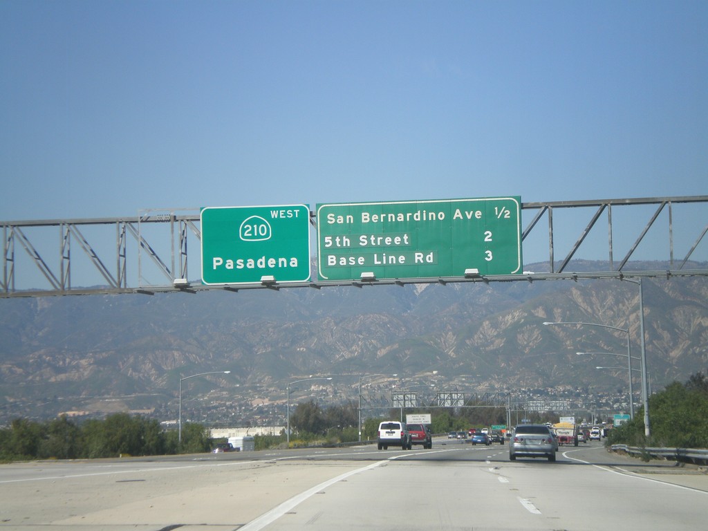
CA-210 West - Next 3 Exits
Next 3 CA-210 exits: San Bernardino Ave., 5th St., and Base Line Road. Continue west on CA-210 for Pasadena.
Taken 02-28-2011
Redlands
San Bernardino County
California
United States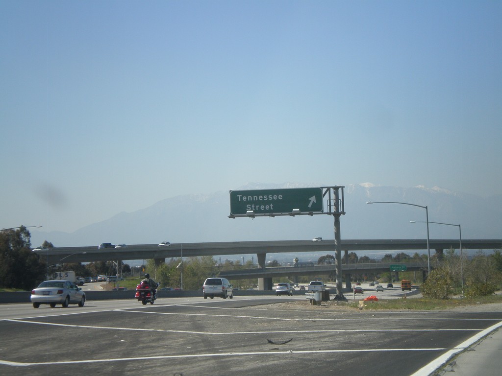
I-10 East - Exit 77B
I-10 east at Exit 77B - Tennessee St.
Taken 02-28-2011
 Redlands
San Bernardino County
California
United States
Redlands
San Bernardino County
California
United States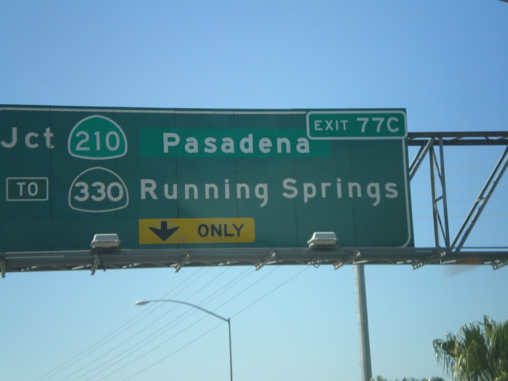
I-10 West Approaching Exit 77C
I-10 west approaching Exit 77C - Jct. CA-210/Pasadena/To CA-330/Running Springs.
Taken 02-28-2011
Redlands
San Bernardino County
California
United States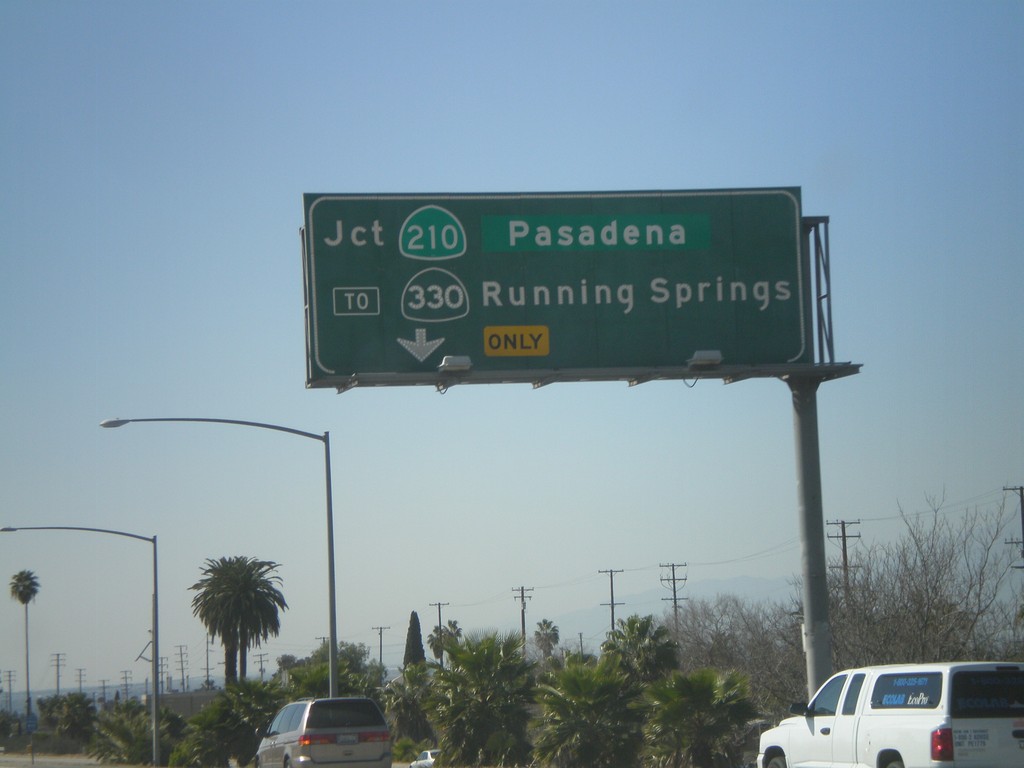
I-10 West - Exit 77C
I-10 west approaching Exit 77C - CA-210/Pasadena/To CA-330/Running Springs.
Taken 02-28-2011
Redlands
San Bernardino County
California
United States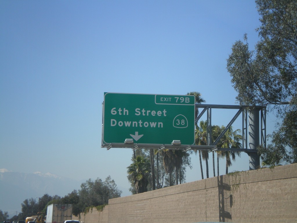
I-10 West - Exit 79B
I-10 west at Exit 79B - CA-38/6th St./Downtown.
Taken 02-28-2011
 Redlands
San Bernardino County
California
United States
Redlands
San Bernardino County
California
United States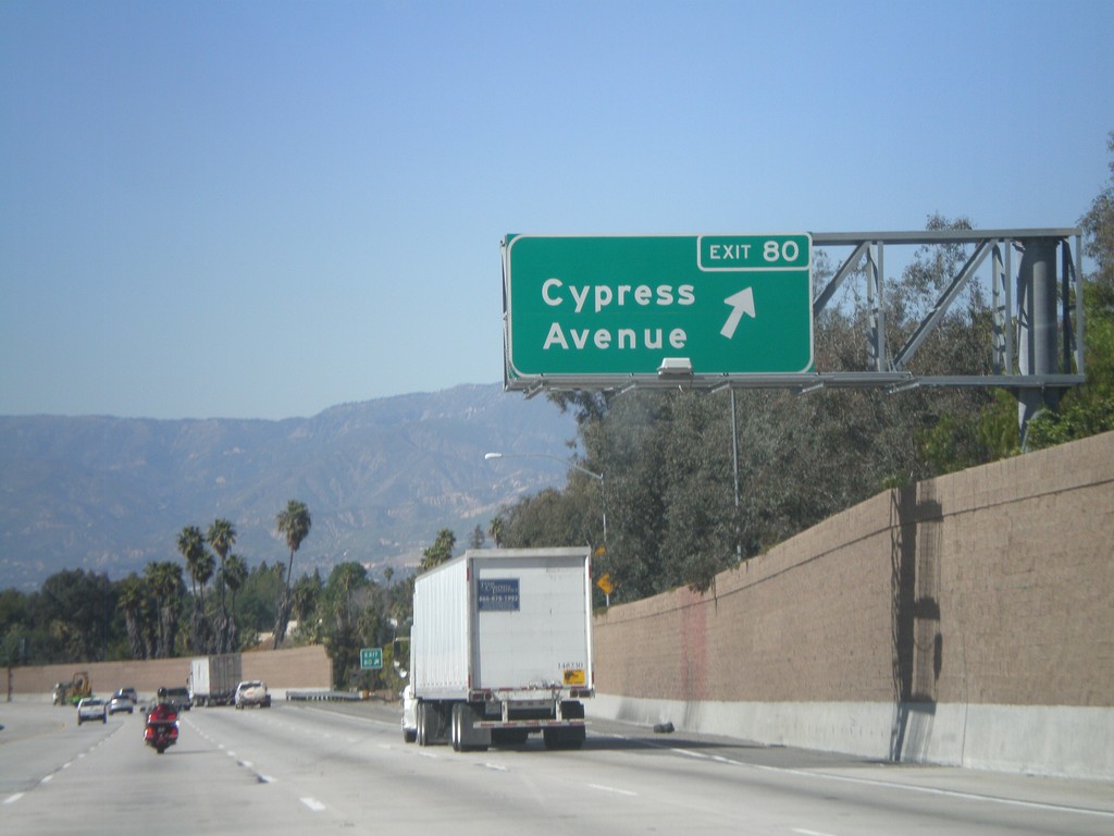
I-10 West - Exit 80
I-10 west at Exit 80 - Cypress Ave.
Taken 02-28-2011
Redlands
San Bernardino County
California
United States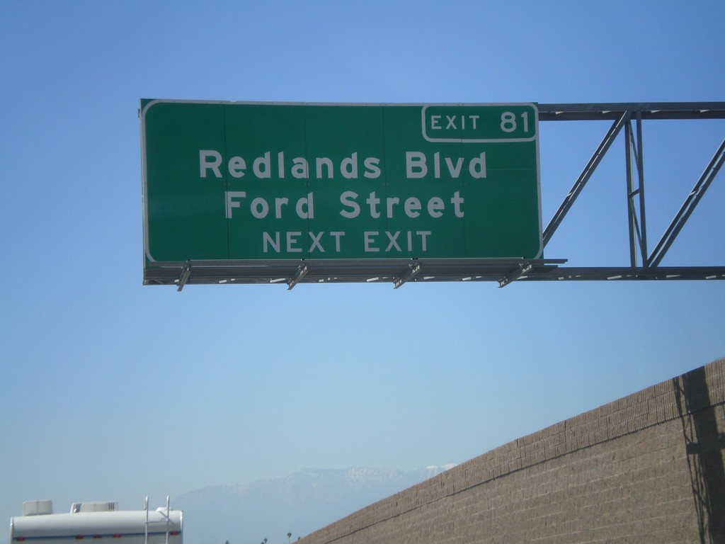
I-10 West Approaching Exit 82
I-10 west approaching Exit 81 - Redlands Blvd./Ford St.
Taken 02-28-2011
Redlands
San Bernardino County
California
United States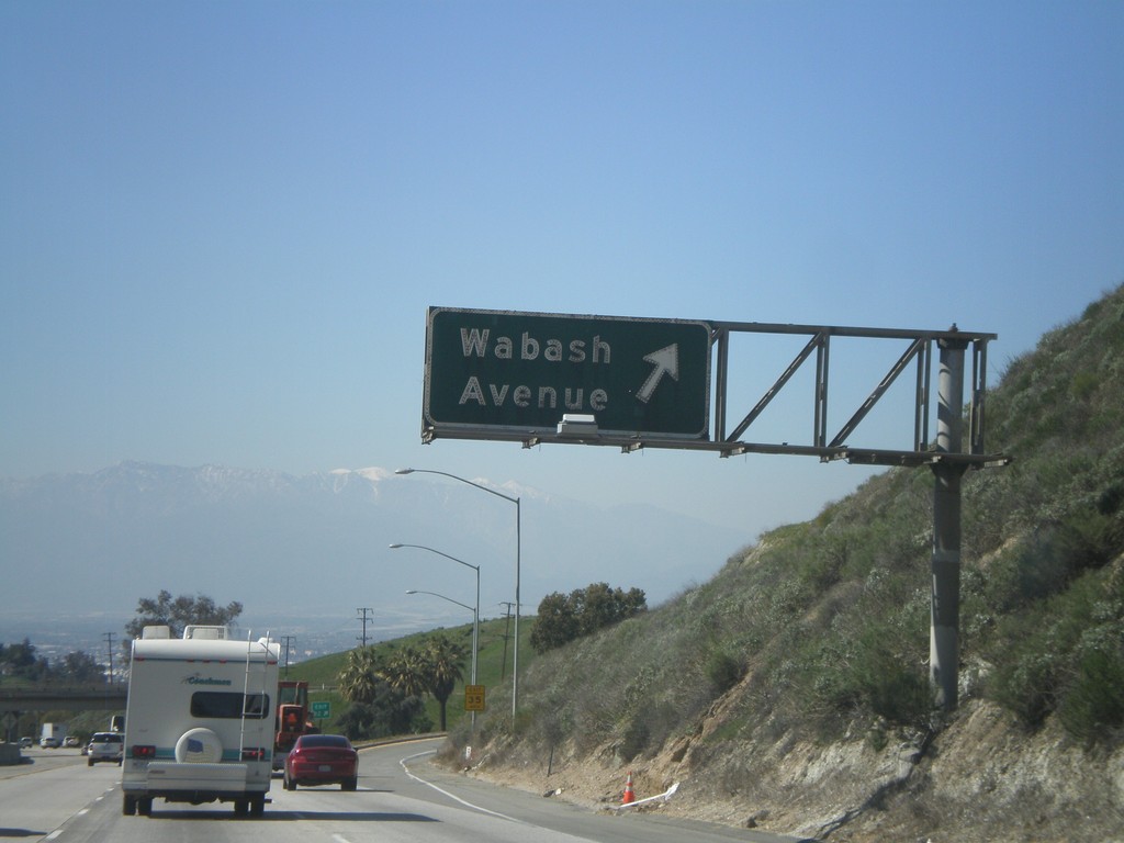
I-10 West - Exit 82
I-10 west at Exit 82 - Wabash Ave.
Taken 02-28-2011
Redlands
San Bernardino County
California
United States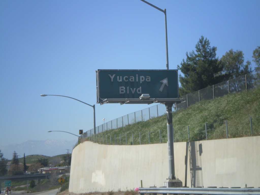
I-10 West - Exit 83
I-10 west at Exit 83 - Yucaipa Blvd.
Taken 02-28-2011
Yucaipa
San Bernardino County
California
United States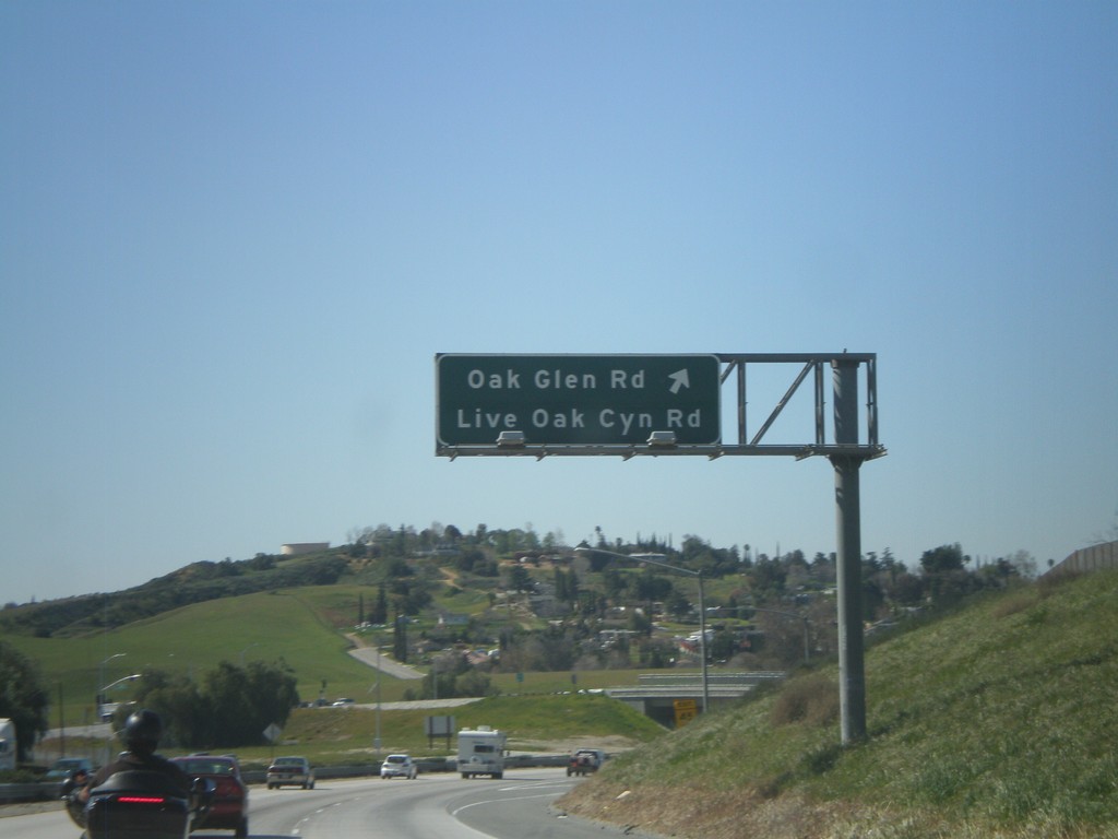
I-10 West - Exit 85
I-10 west at Exit 85 - Oak Glen Road/Live Oak Canyon Road.
Taken 02-28-2011
Yucaipa
San Bernardino County
California
United States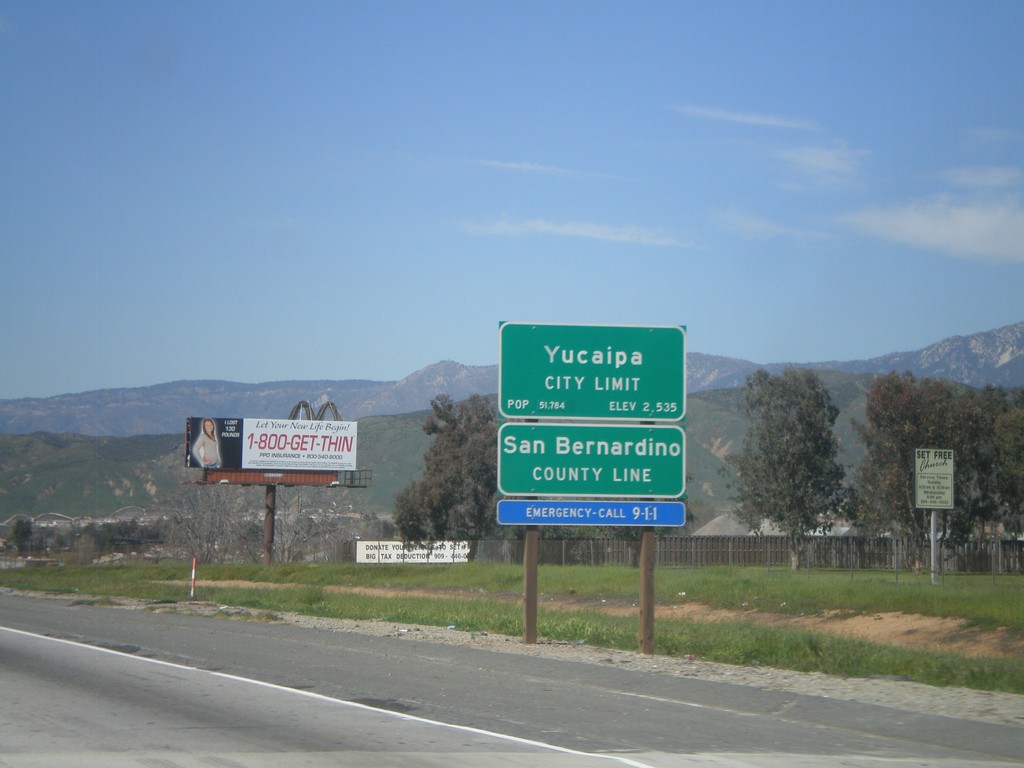
I-10 West - San Bernardino County Line
I-10 west at San Bernardino County Line, and Yucaipa City Limits.
Taken 02-28-2011
Calimesa
San Bernardino County
California
United States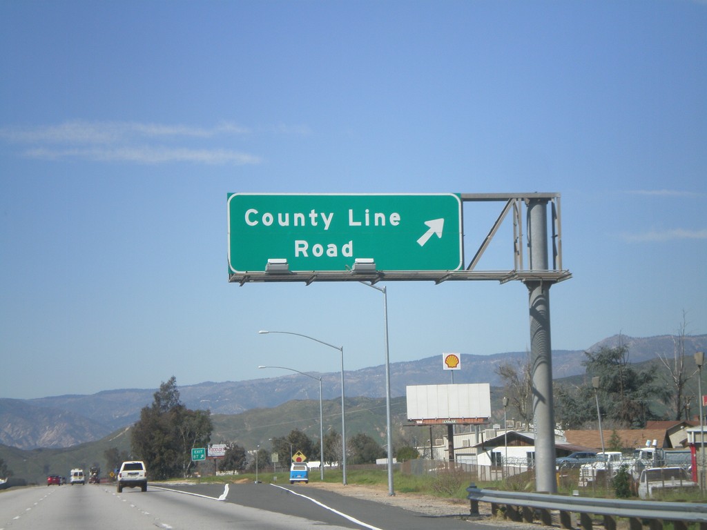
I-10 West - Exit 87
I-10 west at Exit 87 - County Line Road.
Taken 02-28-2011
Calimesa
Riverside County
California
United States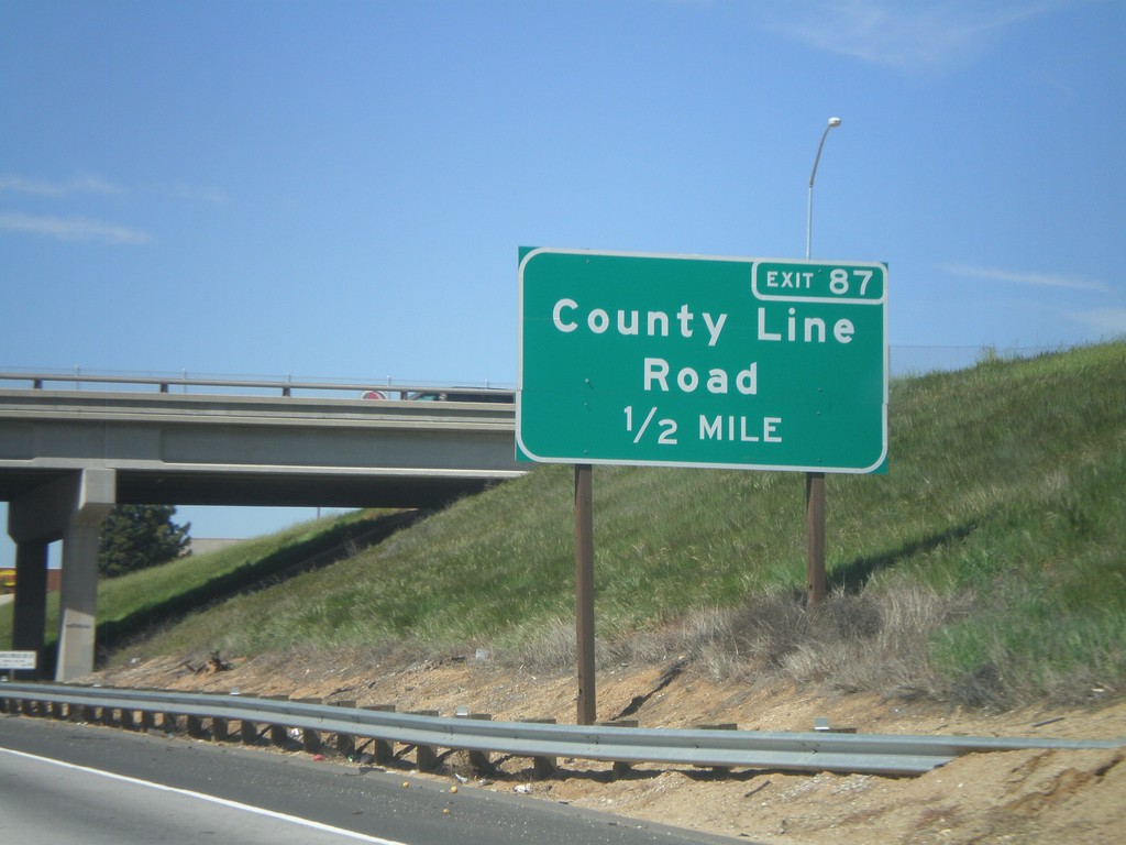
I-10 West Approaching Exit 87
I-10 west approaching Exit 87 - County Line Road.
Taken 02-28-2011
Calimesa
Riverside County
California
United States