Signs Tagged With Big Green Sign
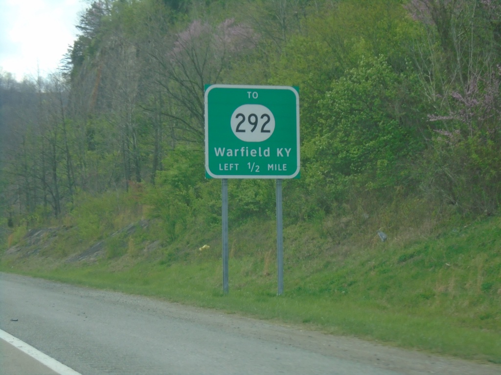
US-52/US-119 North Approaching KY-292
US-52/US-119 North approaching To KY-292/Warfield, KY. US-52/US-119 crosses the West Virginia/Kentucky State Line a few times immediately north of Williamson, WV.
Taken 03-31-2024


 Williamson
Mingo County
West Virginia
United States
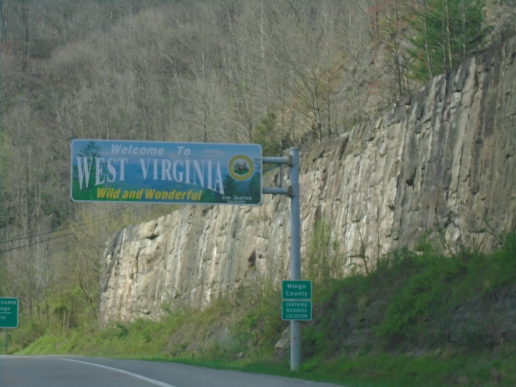
US-119/US-52 North - Welcome To West Virginia
Welcome To West Virginia/Wild and Wonderful on US-119/US-52 North. Entering Mingo County.
Taken 03-31-2024

 Williamson
Mingo County
West Virginia
United States
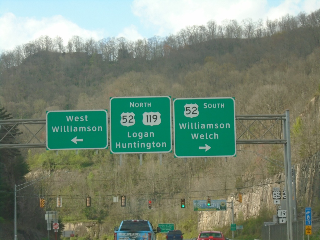
US-119 North at US-52 - Williamson
US-119 North at US-52 in Williamson, at the Kentucky-West Virginia State Line. Use US-52 South to Williamson/Welch. Turn left for West Williamson. Continue north on US-119/US-52 to Logan and Huntington.
Taken 03-31-2024

 Williamson
Mingo County
West Virginia
United States
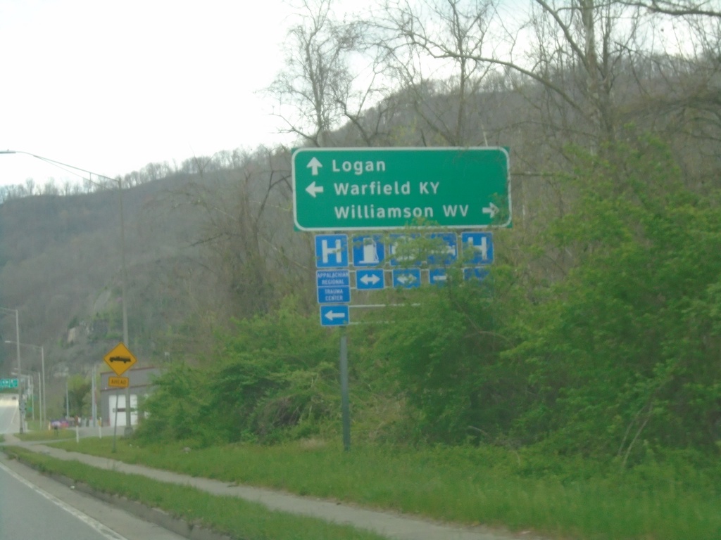
US-119/KY-292 North at US-119/KY-292 Split
US-119/KY-292 North at US-119/KY-292 Split in South Williamson. Turn right for bridge to Williamson, WV. Turn left to continue north on KY-292 to Warfield, KY. Continue straight on US-119 for Logan, WV.
Taken 03-31-2024

 South Williamson
Pike County
Kentucky
United States
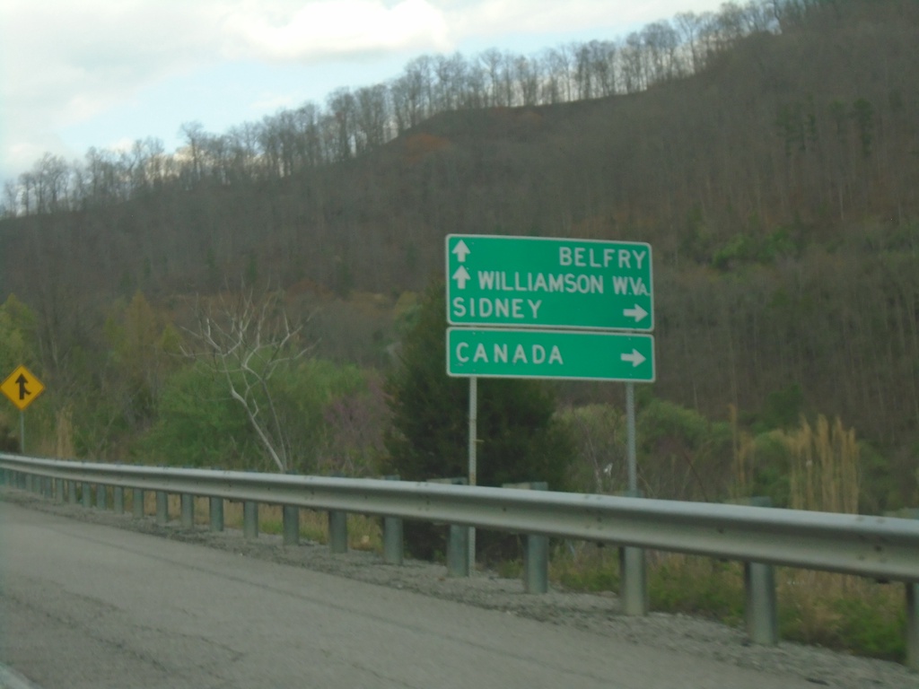
US-119 North at KY-3220
US-119 North at KY-3220 to Canada and Sidney. Continue north on US-119 to Belfry and Williamson, WV.
Taken 03-31-2024

 Sidney
Pike County
Kentucky
United States
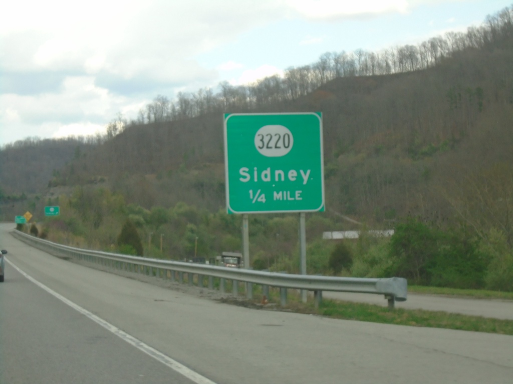
US-119 North Approaching KY-3220
US-119 North approaching KY-3220/Sidney interchange.
Taken 03-31-2024

 Sidney
Pike County
Kentucky
United States
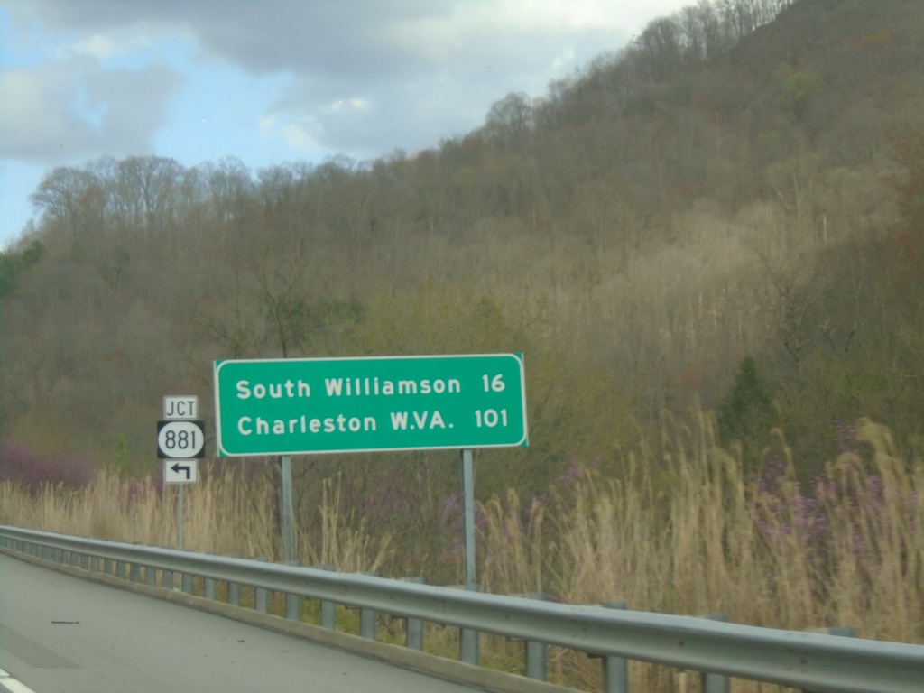
US-119 North at KY-881
US-119 North at KY-881 junction. Distance marker on US-119 North to South Williamson, and Charleston (WV).
Taken 03-31-2024

 Pikeville
Pike County
Kentucky
United States
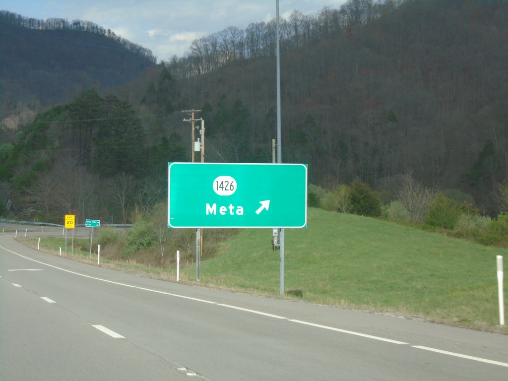
US-119 North at KY-1426
US-119 North at KY-1426/Meta interchange.
Taken 03-31-2024

 Pikeville
Pike County
Kentucky
United States
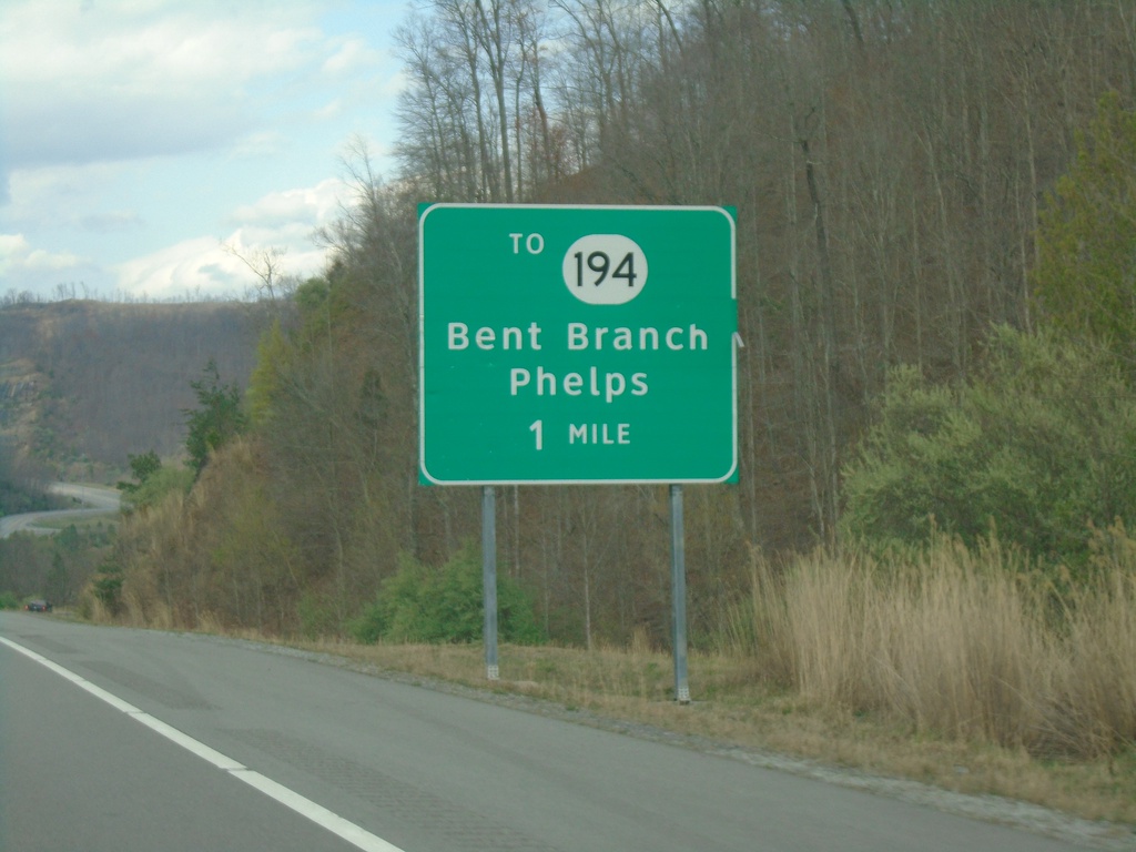
US-119 Approaching KY-194
US-119 approaching To KY-194/Bent Branch/Phelps.
Taken 03-31-2024

 Pikeville
Pike County
Kentucky
United States
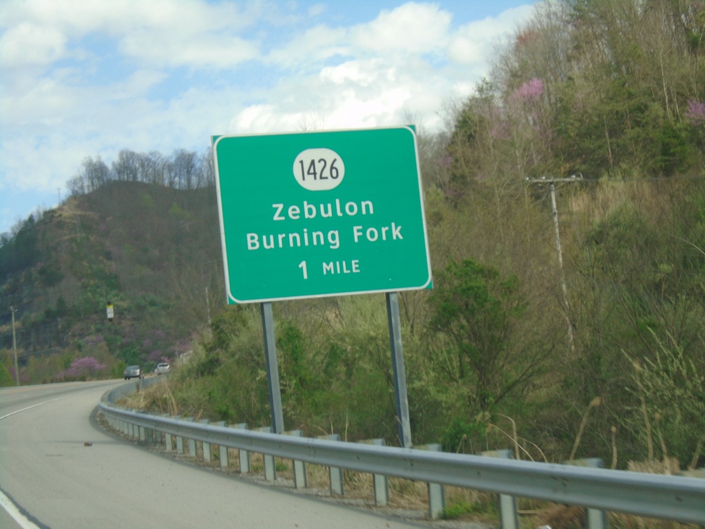
US-119 North Approaching KY-1426
US-119 North approaching KY-1426/Zebulon/Burning Fork.
Taken 03-31-2024

 Pikeville
Pike County
Kentucky
United States
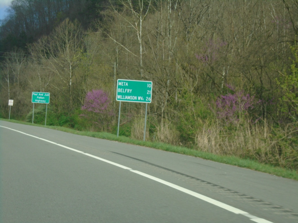
US-119 North - Distance Marker
Distance marker on US-119 north. Distance to Meta, Belfry, and Williamson, WV.
Taken 03-31-2024
 Pikeville
Pike County
Kentucky
United States
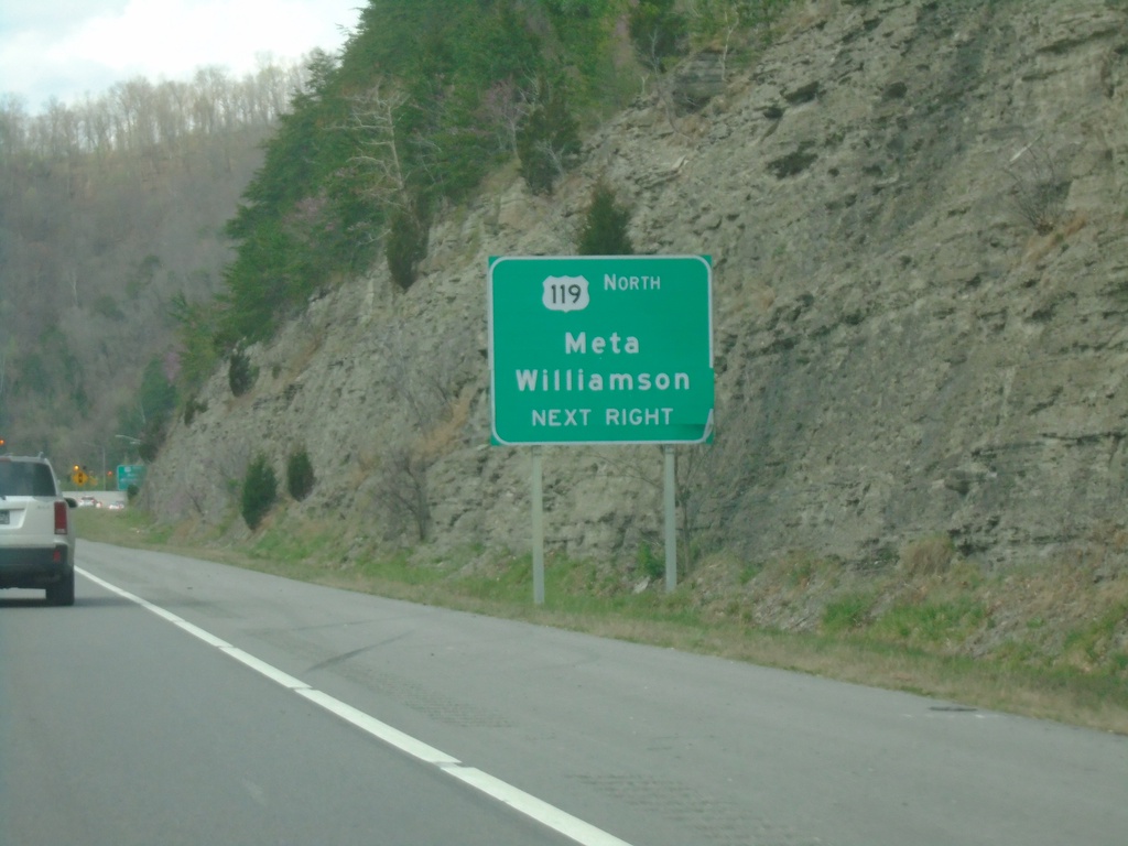
US-23/US-119 North/US-460/KY-80 West at US-119 North
US-23/US-119 North/US-460/KY-80 West at US-119 North to Meta and Williamson (WV).
Taken 03-31-2024


 Pikeville
Pike County
Kentucky
United States
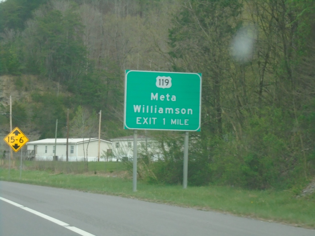
US-23/US-119 North/US-460/KY-80 West Approaching US-119 North
US-23/US-119 North/US-460/KY-80 West approaching US-119 North to Meta and Williamson (WV).
Taken 03-31-2024


 Pikeville
Pike County
Kentucky
United States
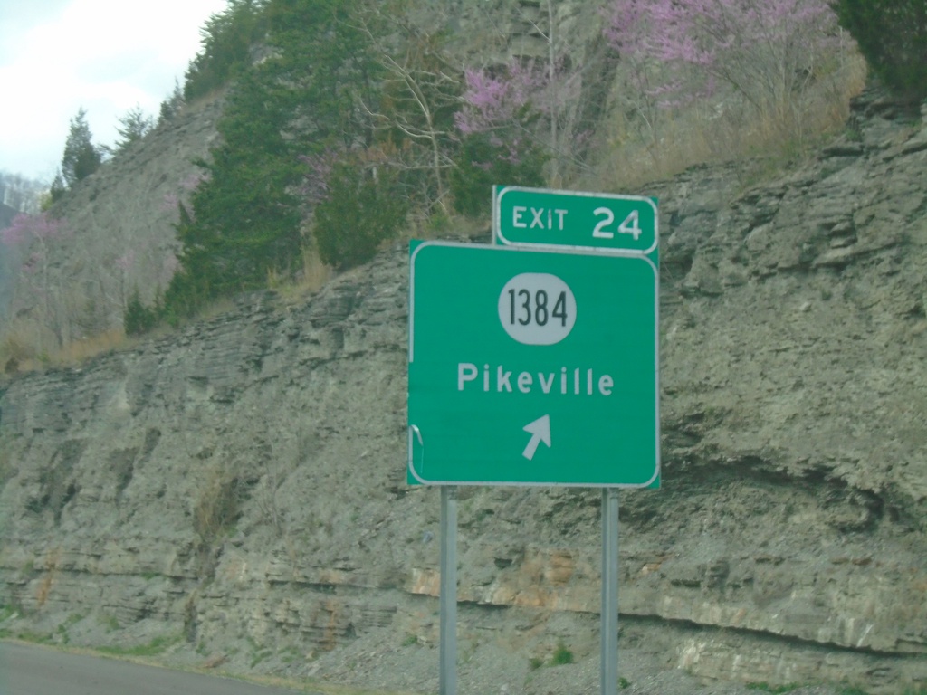
US-23/US-119 North/US-460/KY-80 West - Exit 24
US-23/US-119 North/US-460/KY-80 West at Exit 24 - KY-1384/Pikeville.
Taken 03-31-2024


 Pikeville
Pike County
Kentucky
United States
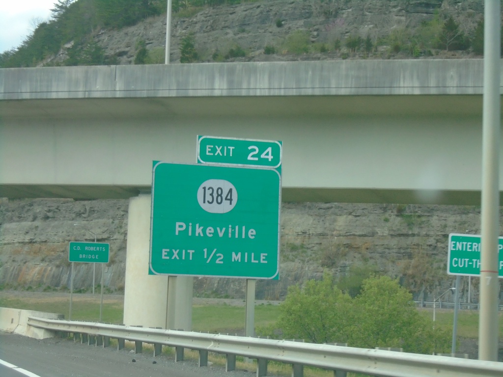
US-23/US-119 North/US-460/KY-80 West Approaching Exit 24
US-23/US-119 North/US-460/KY-80 West approaching Exit 24 - KY-1384/Pikeville.
Taken 03-31-2024


 Pikeville
Pike County
Kentucky
United States
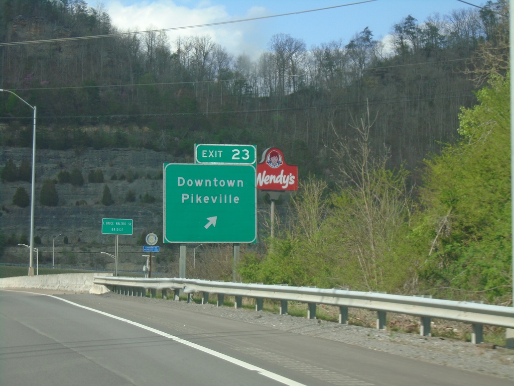
US-23/US-119 North/US-460/KY-80 West/KY-1426 East Approaching Exit 23
US-23/US-119 North/US-460/KY-80 West/KY-1426 East at Exit 23 - Downtown Pikeville. KY-1426 leaves the freeway here.
Taken 03-31-2024


 Pikeville
Pike County
Kentucky
United States
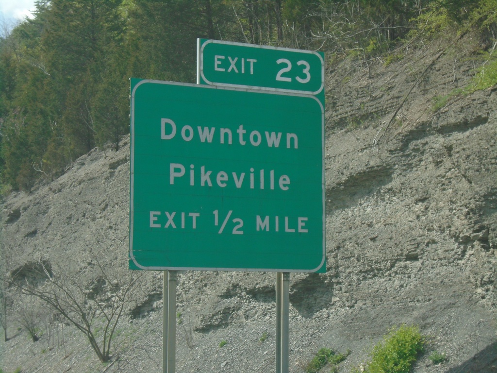
US-23/US-119 North/US-460/KY-80 West/KY-1426 East Approaching Exit 23
US-23/US-119 North/US-460/KY-80 West/KY-1426 East approaching Exit 23 - Downtown Pikeville.
Taken 03-31-2024


 Pikeville
Pike County
Kentucky
United States
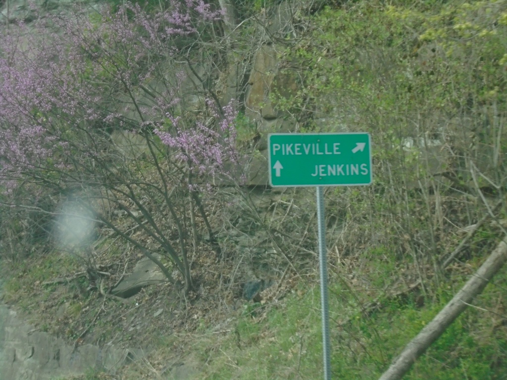
US-460/KY-80 West at US-23/US-119
US-460/KY-80 West at US-23/US-119 in Pike County. Use US-23/US-119 North/US-460/KY-80 West to Pikeville; US-23/US-119 South to Jenkins.
Taken 03-31-2024


 Pikeville
Pike County
Kentucky
United States
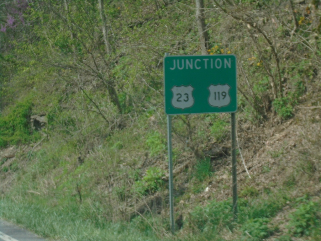
US-460 West/KY-80 West Approaching US-23/US-119
US-460 West/KY-80 West approaching US-23/US-119.
Taken 03-31-2024

 Pikeville
Pike County
Kentucky
United States
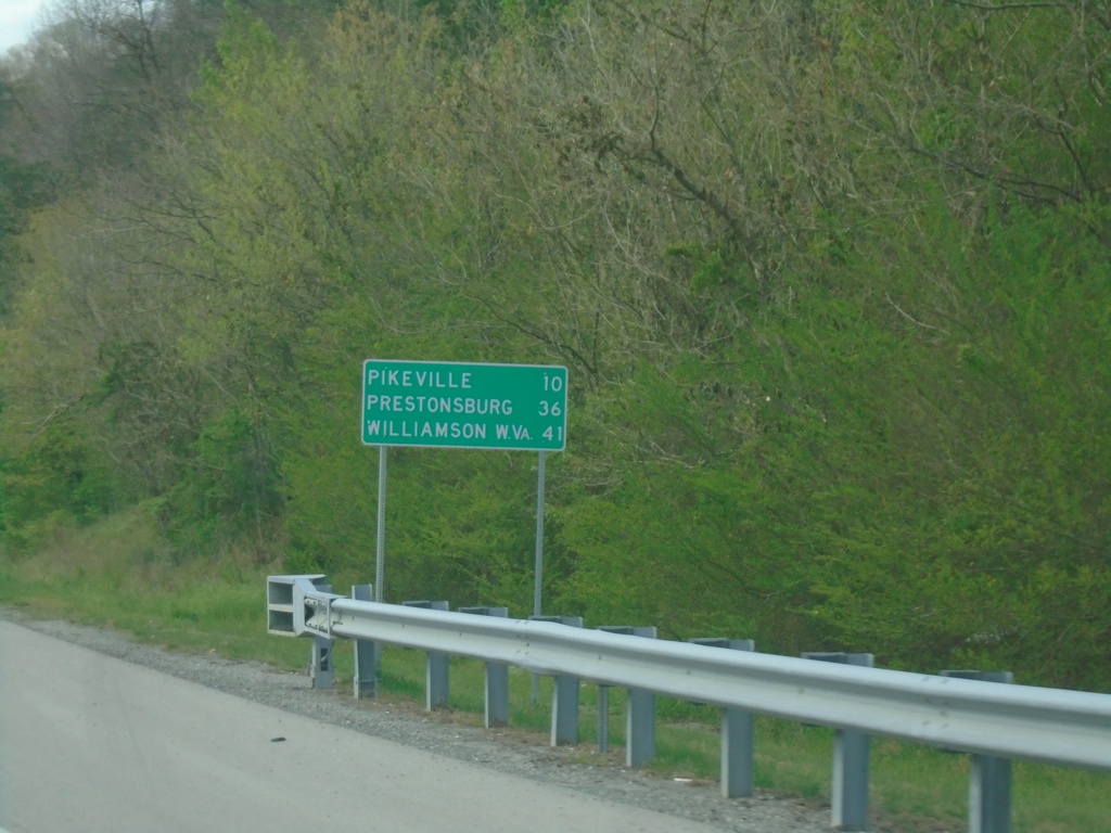
US-460/KY-80 West - Distance Marker
Distance Marker on US-460/KY-80 West. Distance to Pikeville, Prestonsburg, and Williamson, WV.
Taken 03-31-2024

 Shelbiana
Pike County
Kentucky
United States
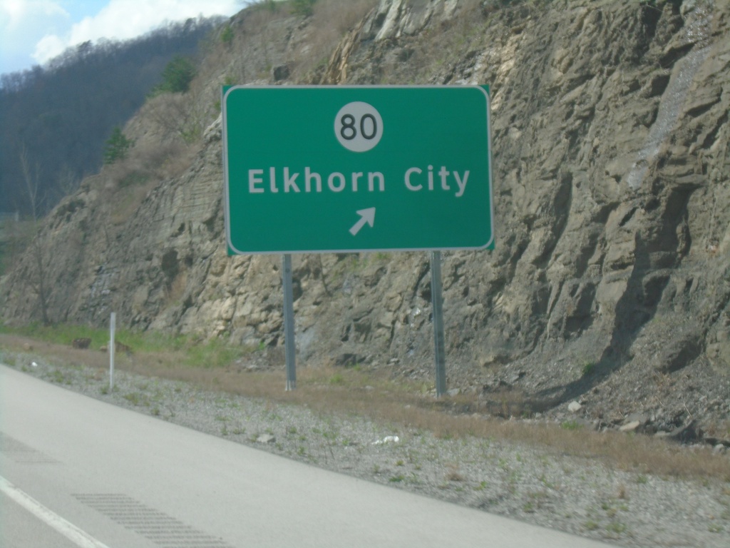
KY-3174 West at KY-80 Exit
KY-3174 West at KY-80/Elkhorn City exit.
Taken 03-31-2024

 Elkhorn City
Pike County
Kentucky
United States
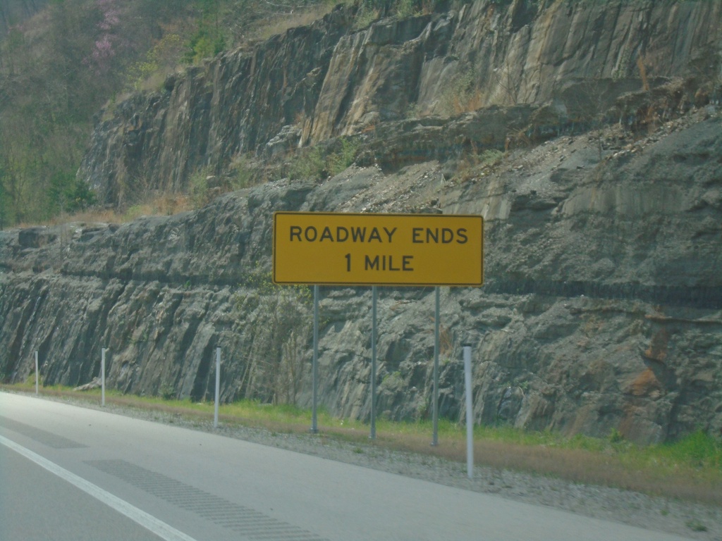
KY-3174 West Approaching KY-80
KY-3174 West approaching KY-80. Roadway Ends in 1 mile. All traffic has to exit the expressway here.
Taken 03-31-2024

 Draffin
Pike County
Kentucky
United States
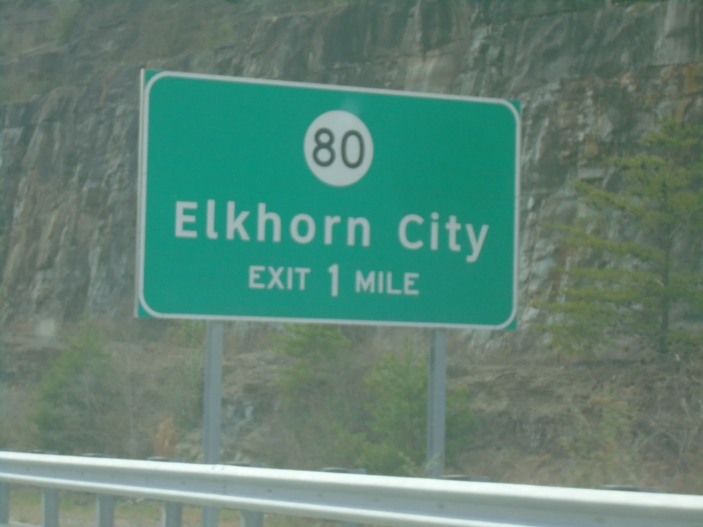
KY-3174 West Approaching KY-80
KY-3174 West approaching KY-80/Elkhorn City exit. The KY-80 interchange is the current end of the expressway.
Taken 03-31-2024

 Elkhorn City
Pike County
Kentucky
United States
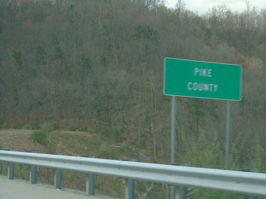
KY-3174 West - Pike County
Entering Pike County on KY-3174 west. At the Kentucky/Virginia State Line.
Taken 03-31-2024
 Elkhorn City
Pike County
Kentucky
United States
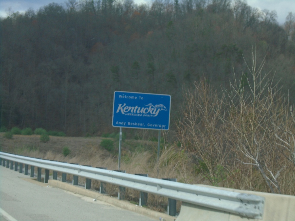
KY-3174 West - Welcome To Kentucky
Welcome To Kentucky on KY-3174 West. Taken at the Virginia/Kentucky State Line.
Taken 03-31-2024
 Elkhorn City
Pike County
Kentucky
United States