Signs Tagged With Big Green Sign
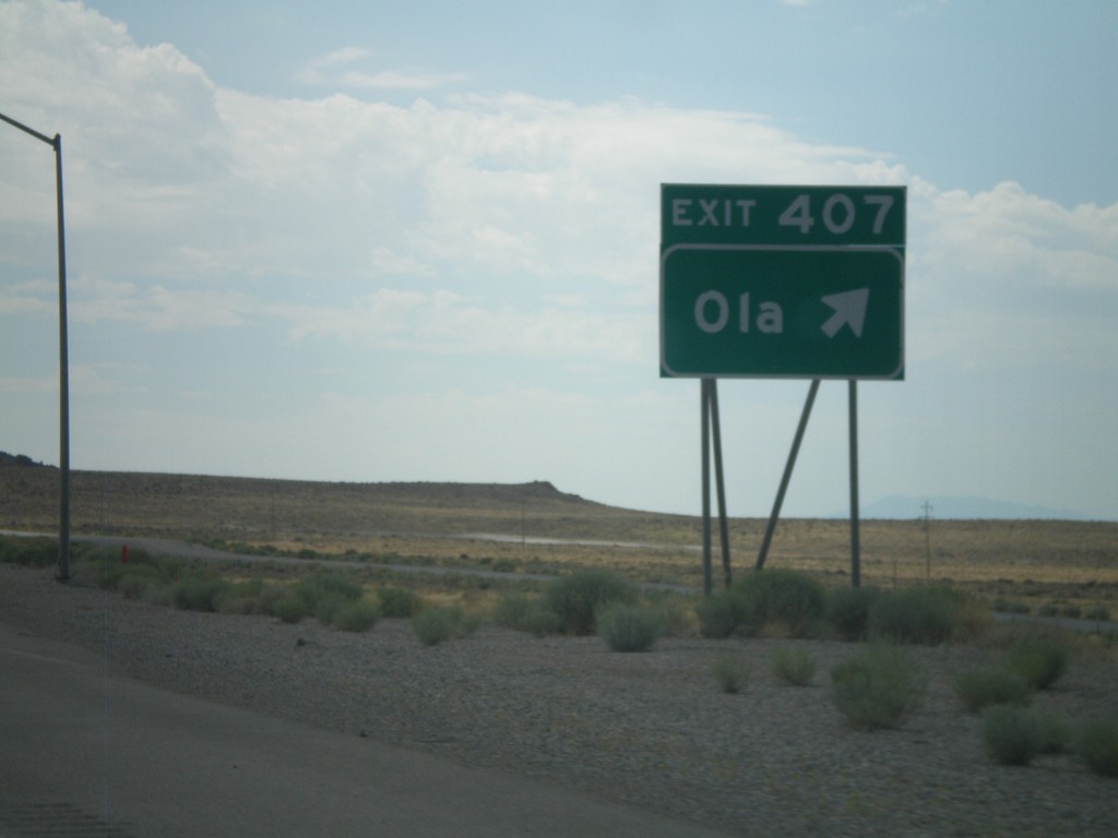
I-80 East - Exit 407
I-80 east at Exit 407 - Ola.
Taken 07-31-2010

 West Wendover
Elko County
Nevada
United States
West Wendover
Elko County
Nevada
United States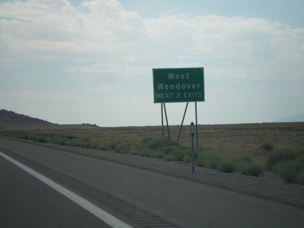
I-80 East - West Wendover Exits
West Wendover - Next 2 Exits on I-80 east.
Taken 07-31-2010
West Wendover
Elko County
Nevada
United States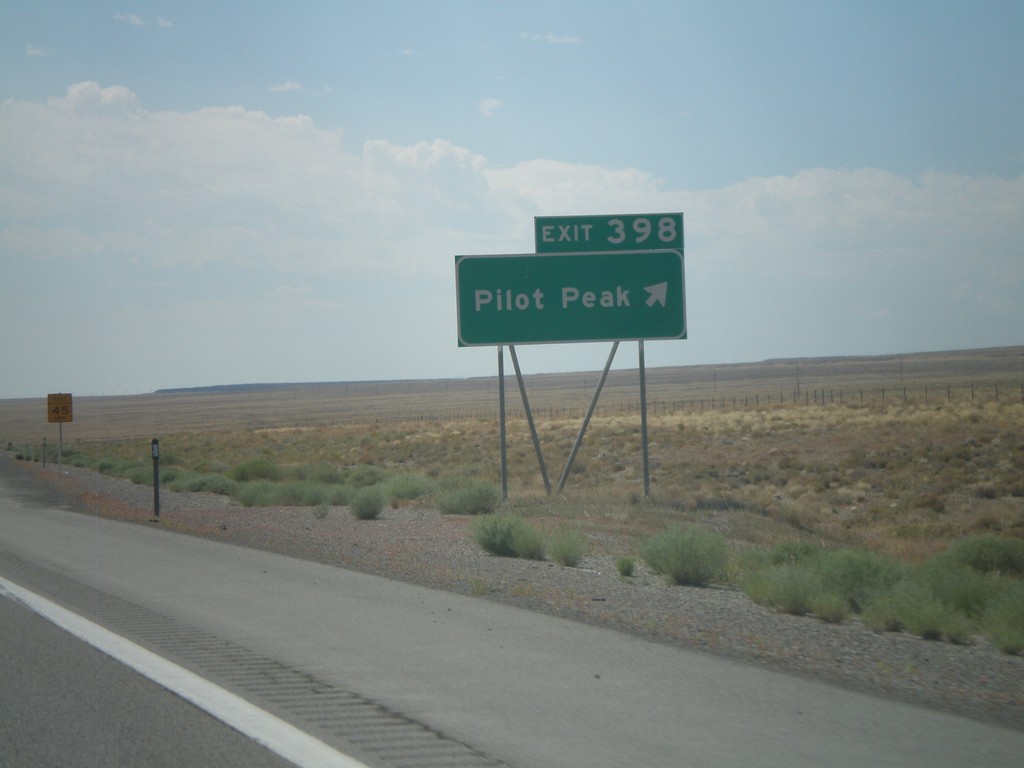
I-80 East - Exit 398
I-80 east at Exit 398 - Pilot Peak.
Taken 07-31-2010
West Wendover
Elko County
Nevada
United States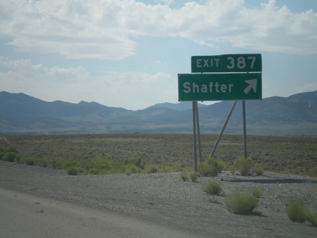
I-80 East - Exit 387
I-80 east at Exit 387 - Shafter.
Taken 07-31-2010
Montello
Elko County
Nevada
United States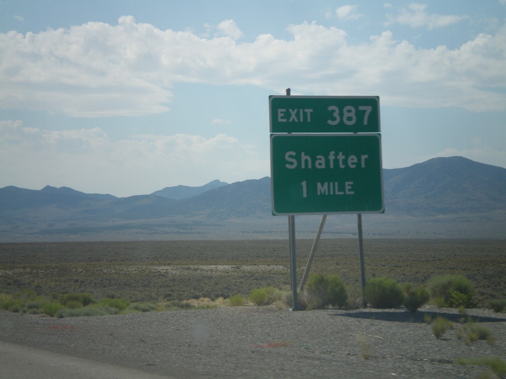
I-80 East - Exit 387
I-80 east approaching Exit 387 - Shafter.
Taken 07-31-2010
Oasis
Elko County
Nevada
United States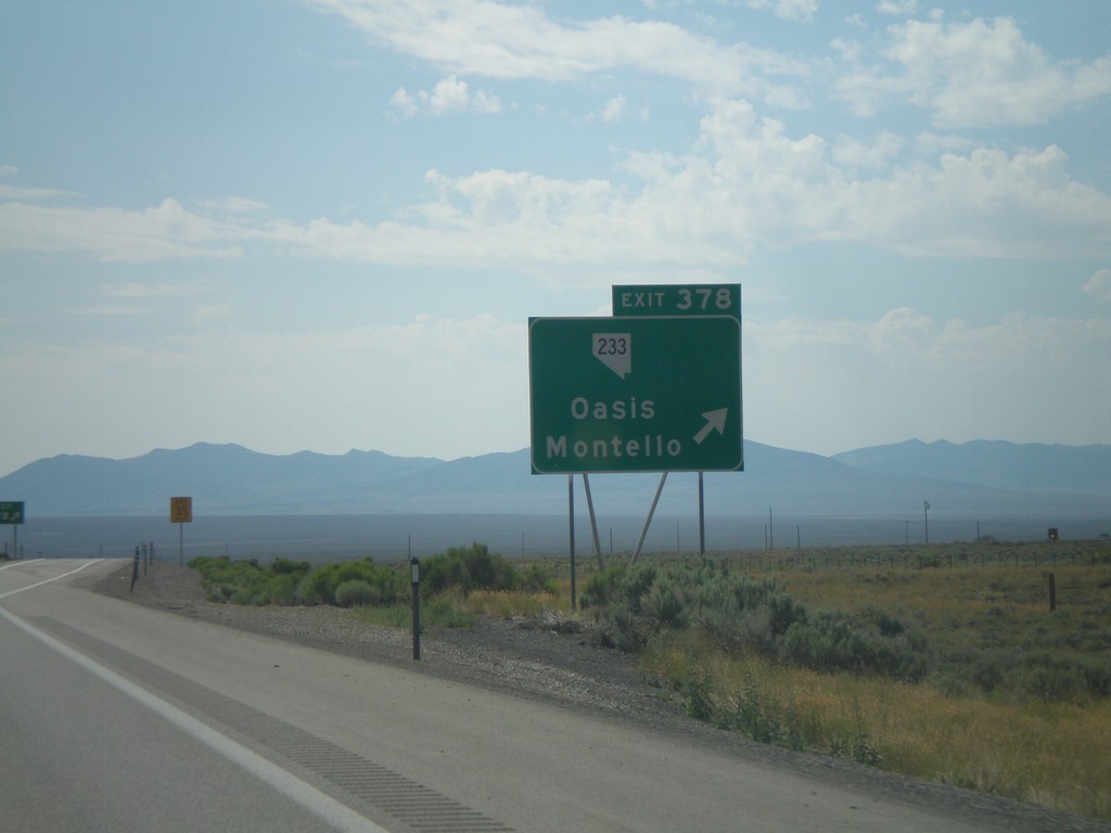
I-80 East - Exit 378
I-80 east at Exit 378 - NV-233/Oasis/Montello
Taken 07-31-2010
 Wells
Elko County
Nevada
United States
Wells
Elko County
Nevada
United States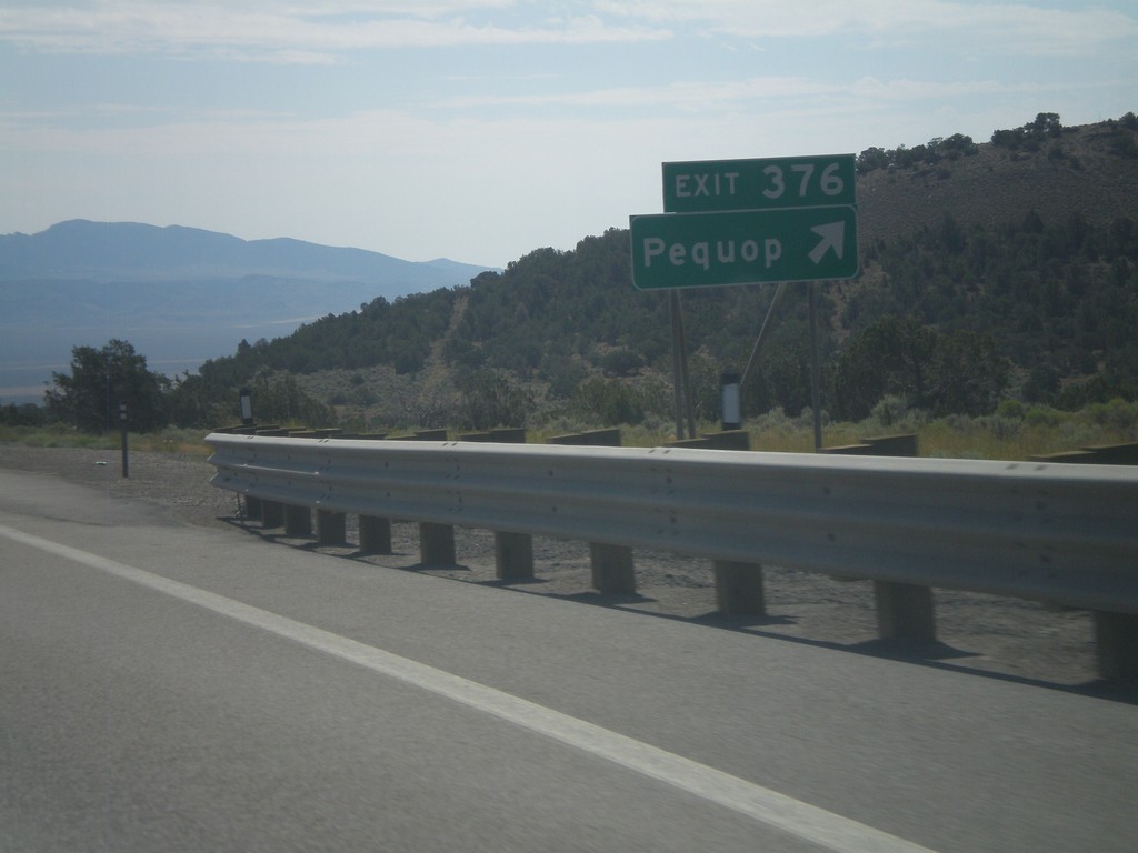
I-80 East - Exit 376
I-80 east at Exit 376 - Pequop
Taken 07-31-2010
Oasis
Elko County
Nevada
United States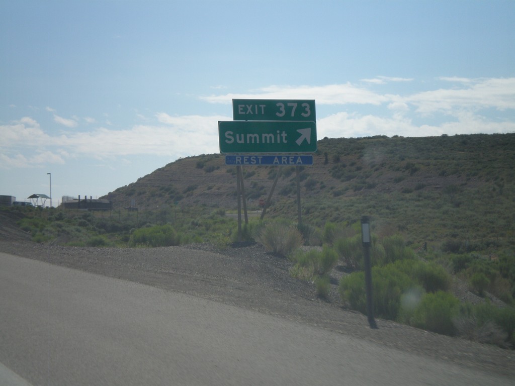
I-80 East - Exit 373
I-80 east at Exit 373 - Summit. Access to Rest Area. Summit refers to Pequop Summit.
Taken 07-31-2010
Wells
Elko County
Nevada
United States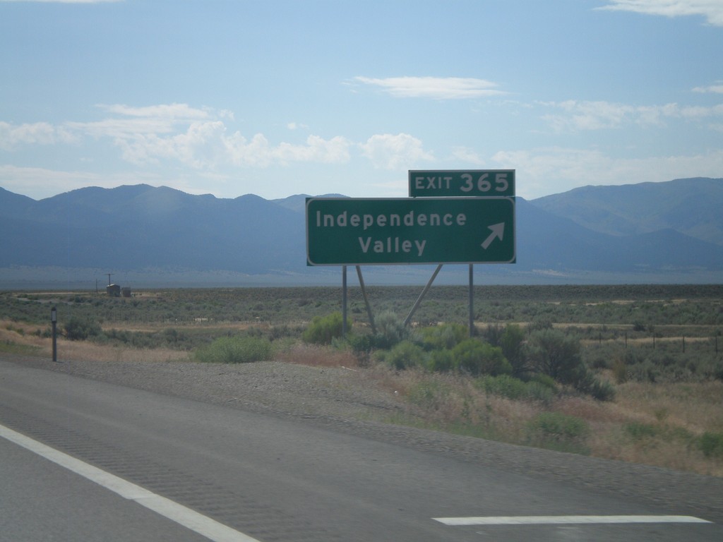
I-80 East - Exit 365
I-80 east at Exit 365 - Independence Valley.
Taken 07-31-2010
Moor
Elko County
Nevada
United States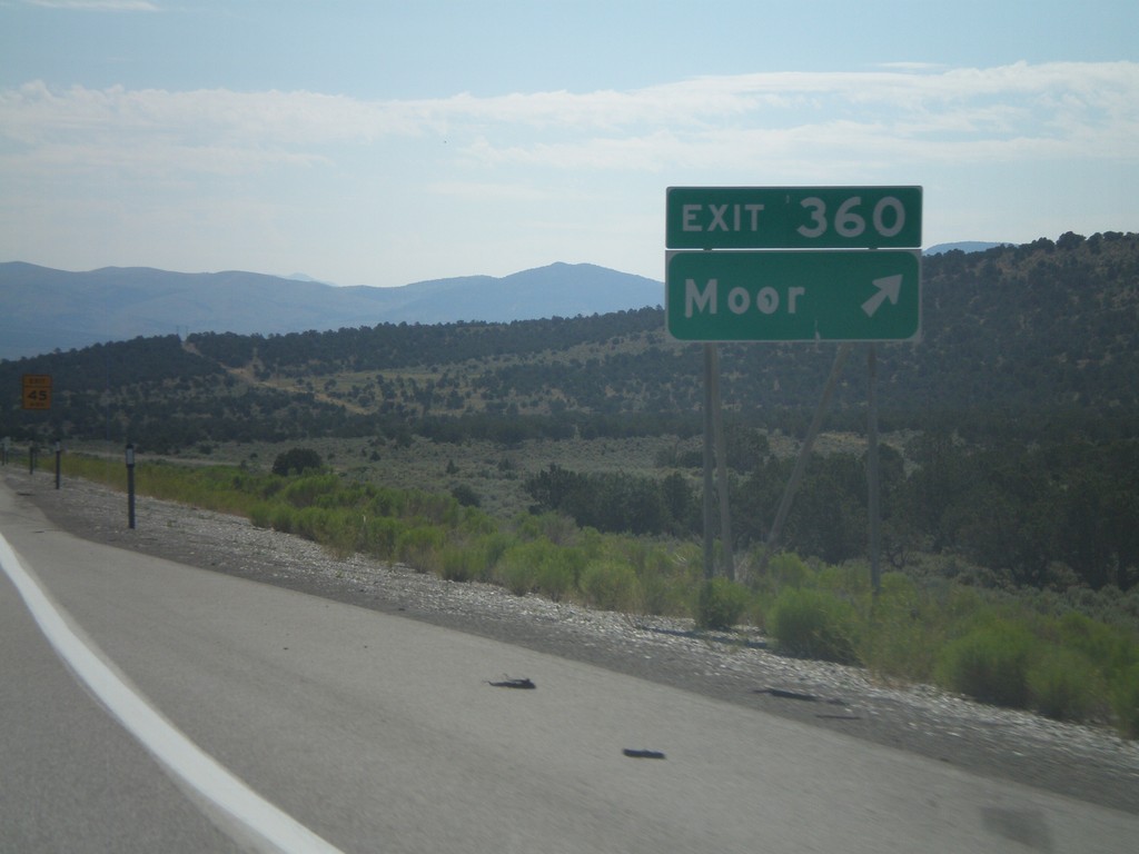
I-80 East - Exit 360
I-80 east at Exit 360 - Moor.
Taken 07-31-2010
Wells
Elko County
Nevada
United States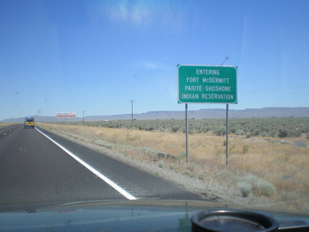
US-95 North - Entering Fort McDermitt Indian Reservation
Entering Fort McDermitt Paiute-Shoshone Indian Reservation on US-95 north.
Taken 07-13-2010
 McDermitt
Humboldt County
Nevada
United States
McDermitt
Humboldt County
Nevada
United States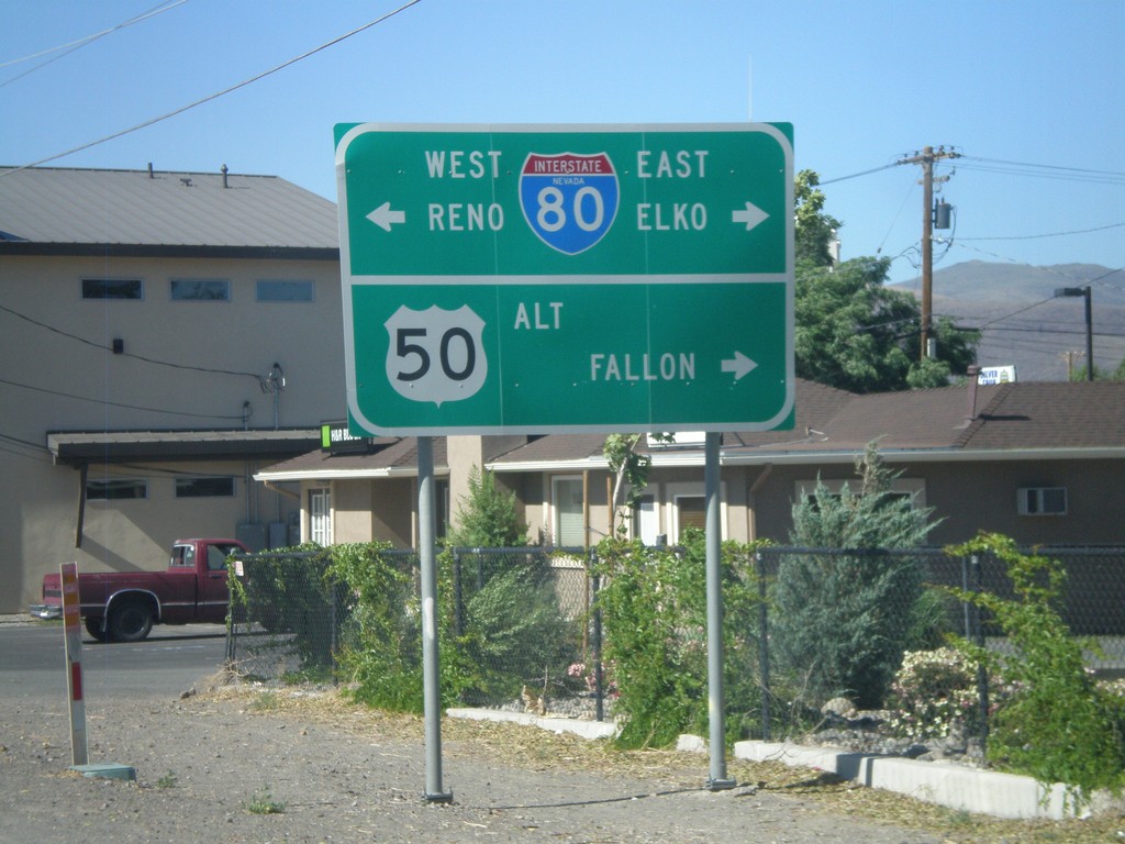
Alt. US-95 North at Alt. US-50/BL-80/NV-427
Alt. US-95 north at Alt. US-50/BL-80 east to Fallon and Elko and BL-80/NV-427 west to Reno.
Taken 07-12-2010


 Fernley
Lyon County
Nevada
United States
Fernley
Lyon County
Nevada
United States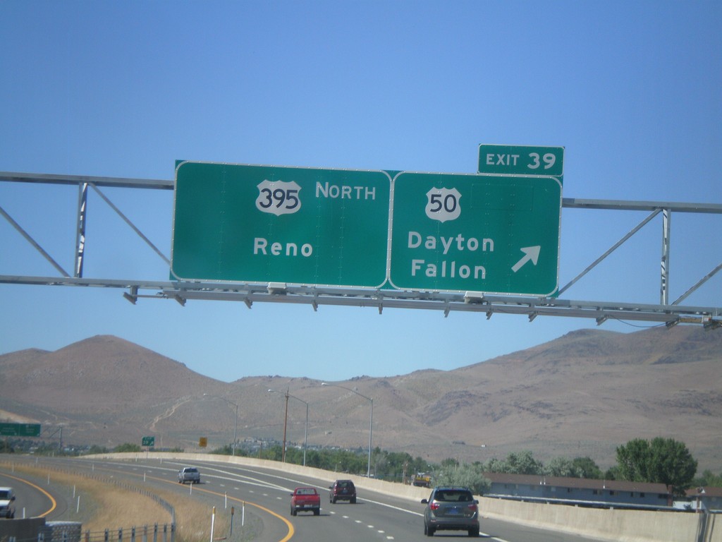
US-395 North - Exit 39
US-395 north at Exit 39 - US-50/Dayton/Fallon. Continue north on US-395 for Reno. The US-50/US-395 split ends here.
Taken 07-12-2010

 Carson City
Nevada
United States
Carson City
Nevada
United States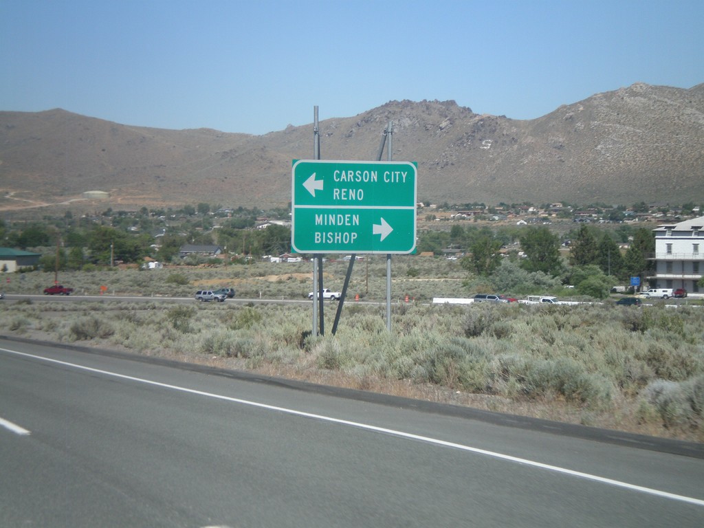
US-50 East Approaching US-395
US-50 east approaching US-395. Use US-395 south for Minden and Bishop (California). US-50 east joins US-395 north for Carson City and Reno.
Taken 07-12-2010
Carson City
Nevada
United States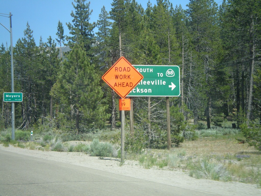
US-50 East At CA-89 South
US-50 east at CA-89 south/Markleeville/Jackson to CA-88. CA-89 north joins US-50 east to South Lake Tahoe.
Taken 07-12-2010

 South Lake Tahoe
El Dorado County
California
United States
South Lake Tahoe
El Dorado County
California
United States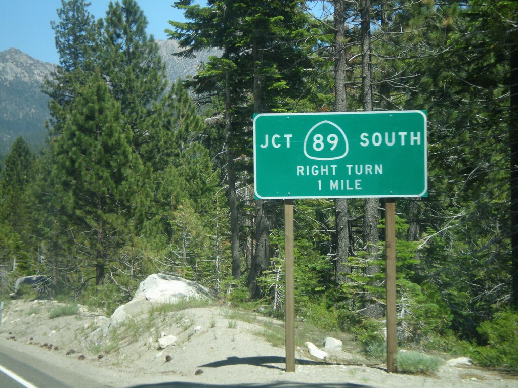
US-50 East at CA-89
US-50 east at CA-89 south.
Taken 07-12-2010
South Lake Tahoe
El Dorado County
California
United States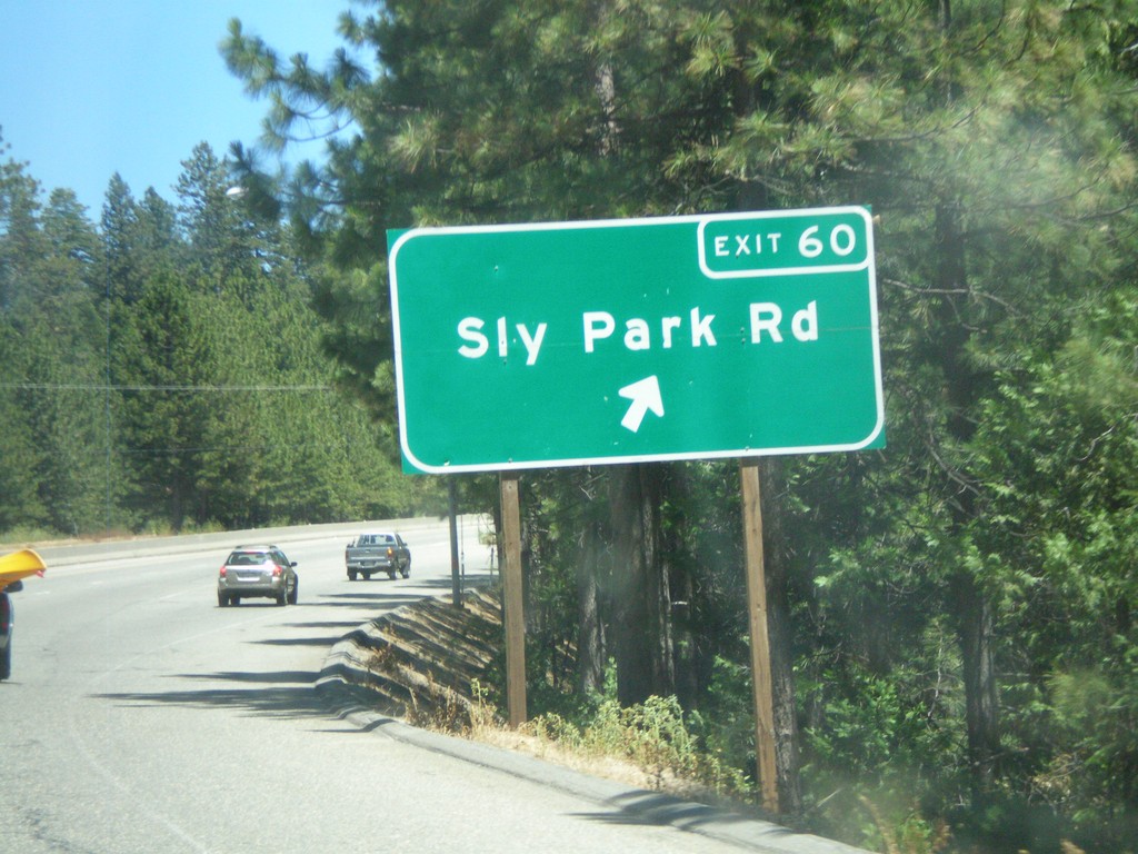
US-50 East - Exit 60
US-50 east at Exit 60 - Sly Park Road.
Taken 07-12-2010
Pollock Pines
El Dorado County
California
United States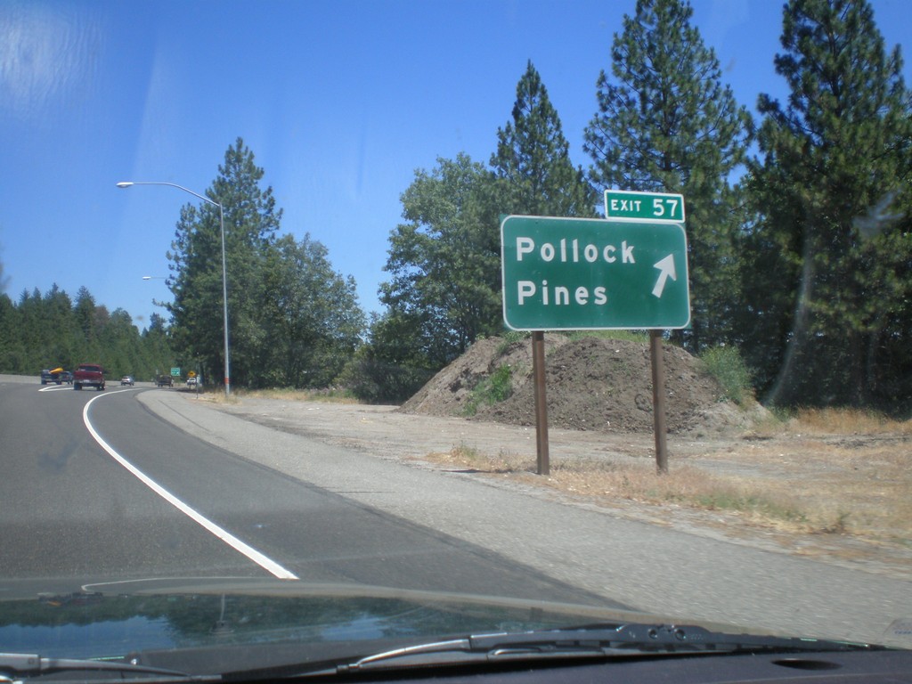
US-50 East - Exit 57
US-50 east at Exit 57 - Pollock Pines.
Taken 07-12-2010
Camino
El Dorado County
California
United States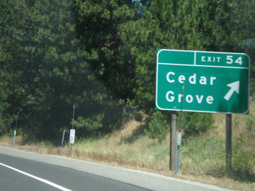
US-50 East - Exit 54
US-50 east at Exit 54 - Cedar Grove.
Taken 07-12-2010
Camino
El Dorado County
California
United States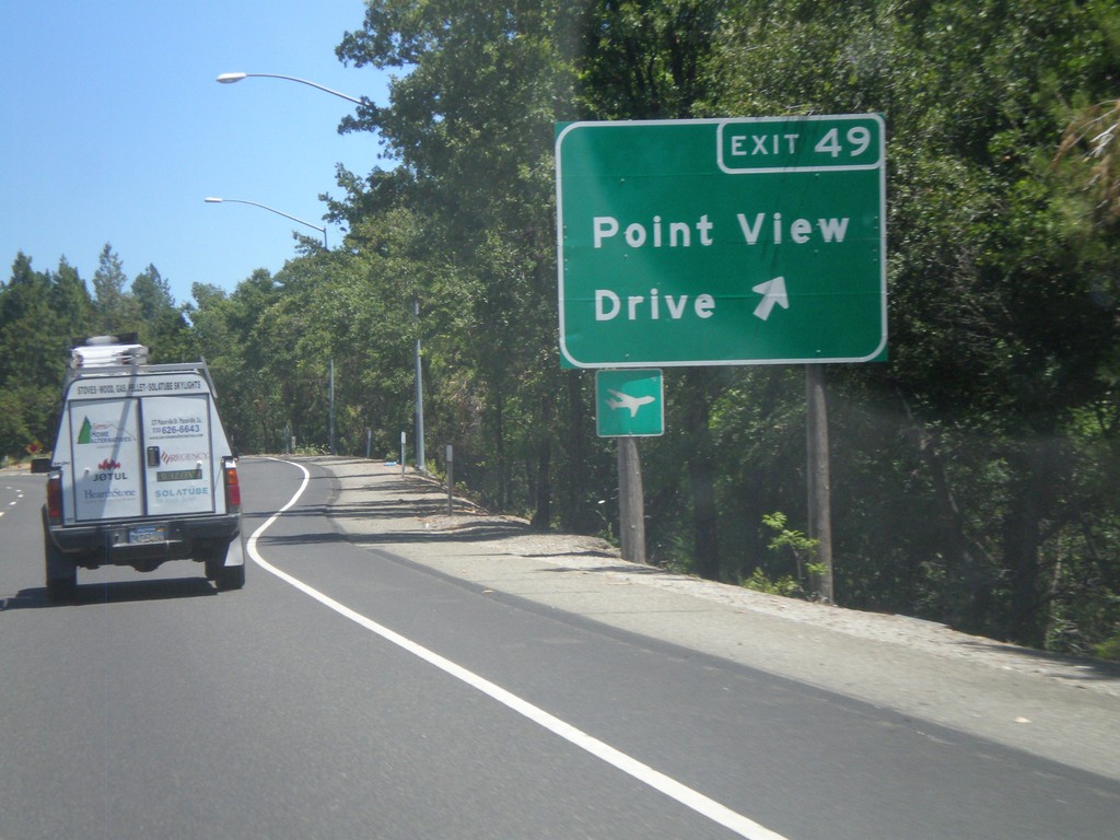
US-50 East - Exit 49
US-50 east at Exit 49 - Point View Drive.
Taken 07-12-2010
Placerville
El Dorado County
California
United States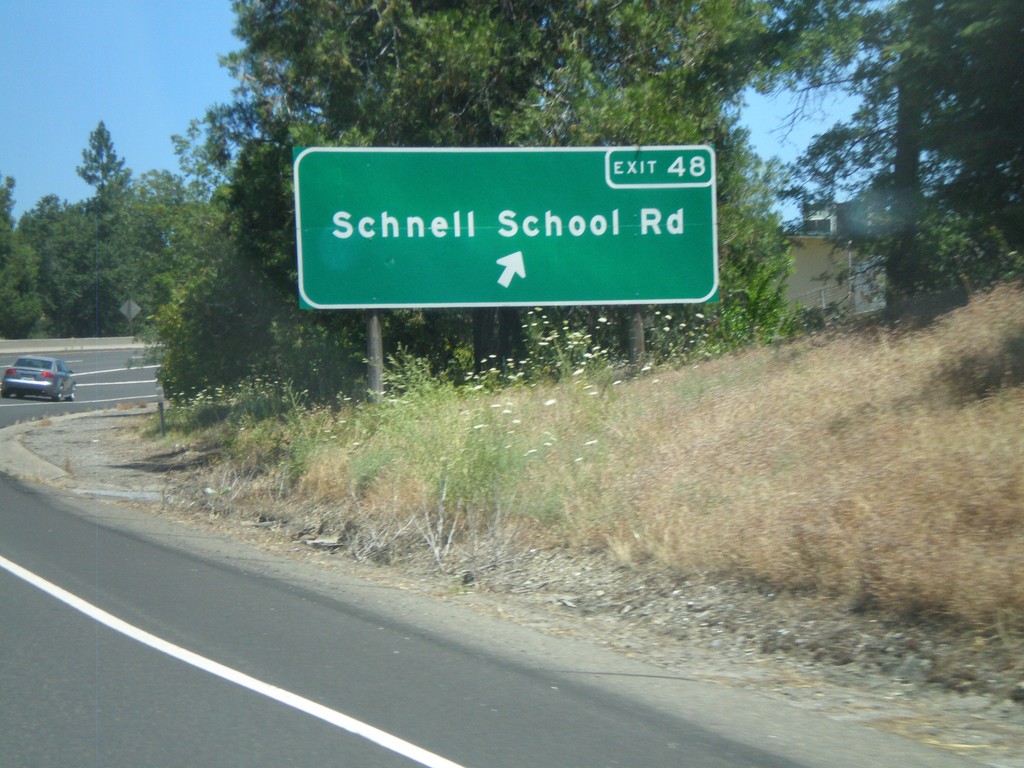
US-50 East - Exit 48
US-50 east at Exit 48 - Schnell School Road.
Taken 07-12-2010
Placerville
El Dorado County
California
United States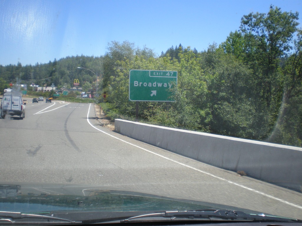
US-50 East - Exit 47
US-50 east at Exit 47 - Broadway.
Taken 07-12-2010
Placerville
El Dorado County
California
United States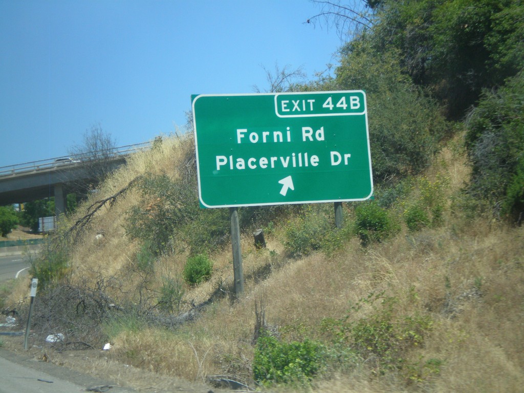
US-50 East - Exit 44B
US-50 east at Exit 44B - Forni Road/Placerville Drive.
Taken 07-12-2010
Placerville
El Dorado County
California
United States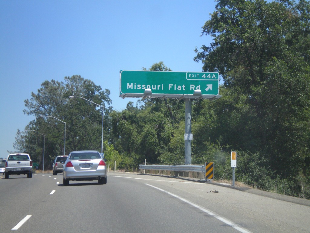
US-50 East - Exit 44A
US-50 east at Exit 44A - Missouri Flat Road.
Taken 07-12-2010
Placerville
El Dorado County
California
United States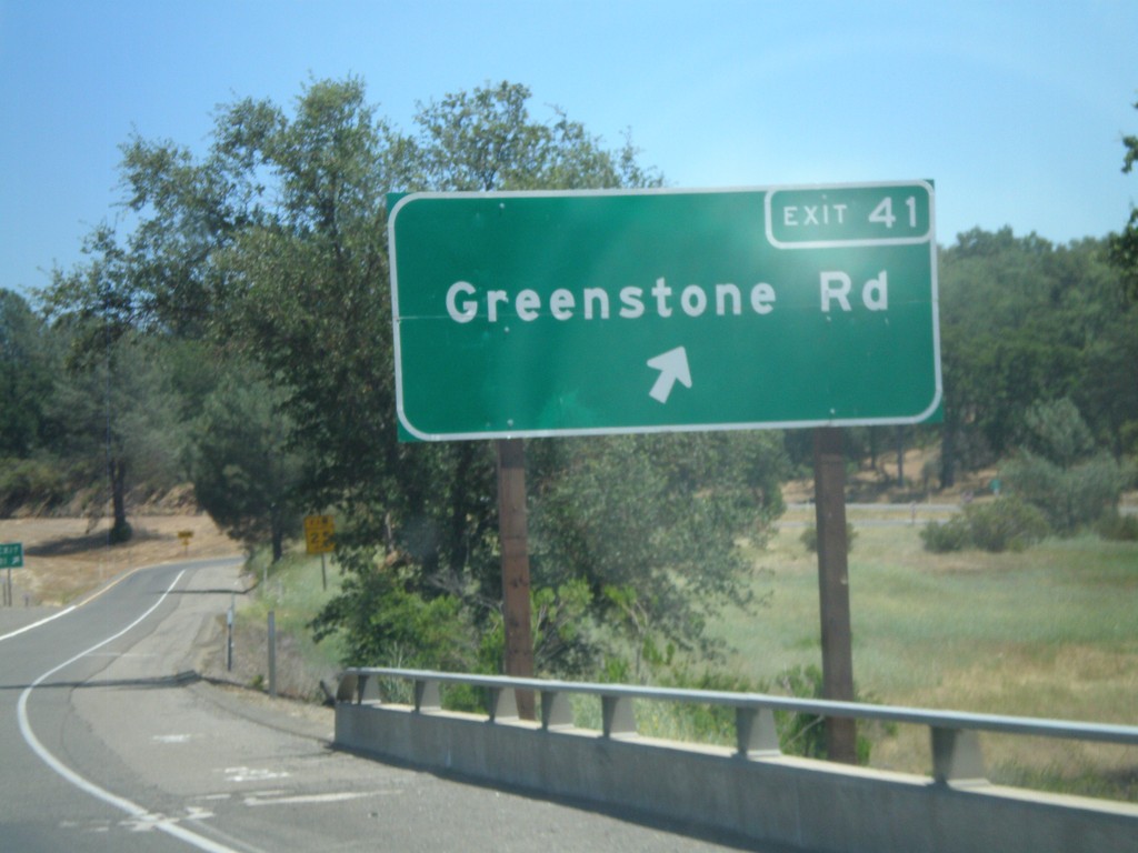
US-50 East - Exit 41
US-50 east at Exit 41 - Greenstone Road.
Taken 07-12-2010
Placerville
El Dorado County
California
United States