Signs Tagged With Big Green Sign
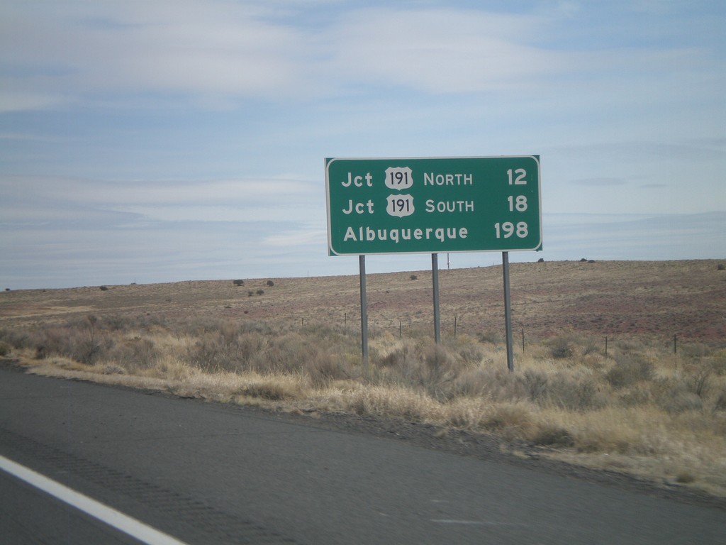
I-40 East - Distance Marker
Distance marker on I-40 east to Jct. US-191 North, Jct. US-191 South, and Albuquerque.
Taken 02-24-2011

 Chambers
Apache County
Arizona
United States
Chambers
Apache County
Arizona
United States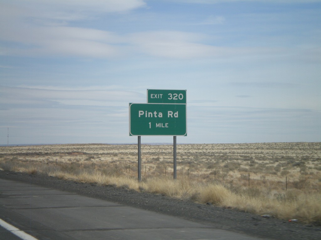
I-40 East - Exit 320
I-40 east at Exit 320 - Pinta Road.
Taken 02-24-2011
Petrified Forest National Park
Apache County
Arizona
United States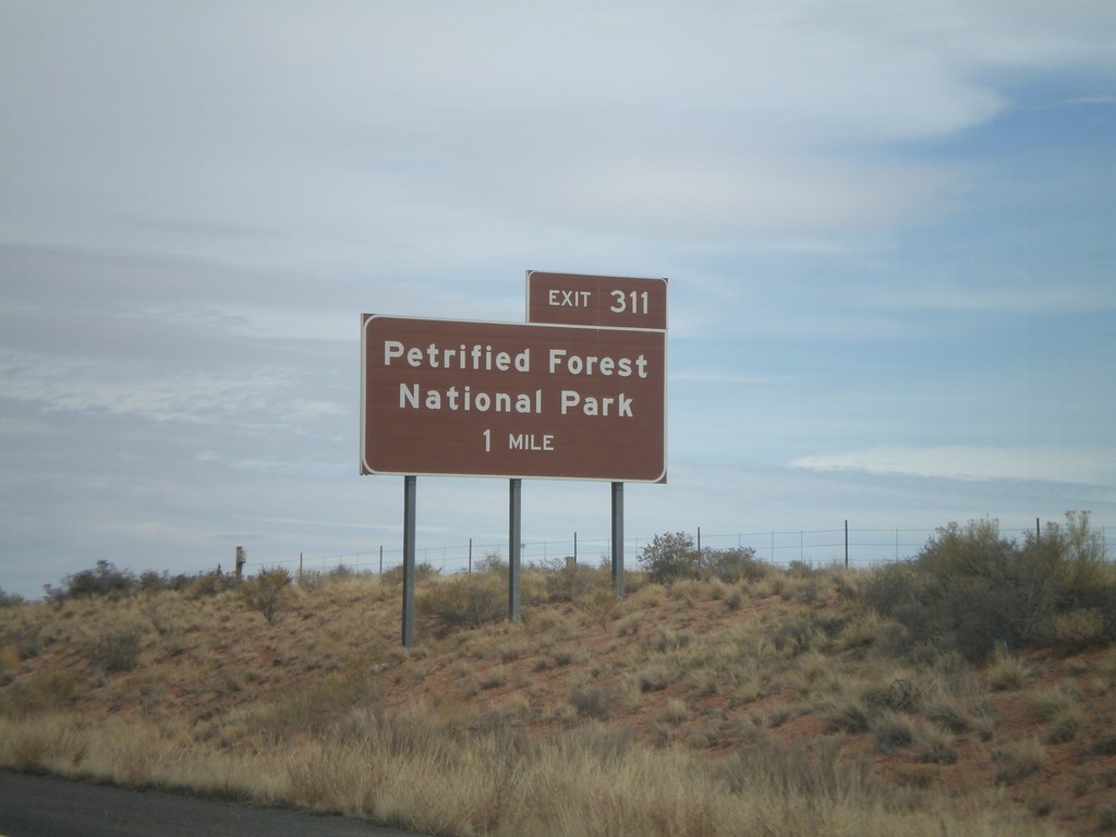
I-40 East Approaching Exit 311
I-40 east approaching Exit 311 - Petrified Forest National Park.
Taken 02-24-2011
Petrified Forest National Park
Apache County
Arizona
United States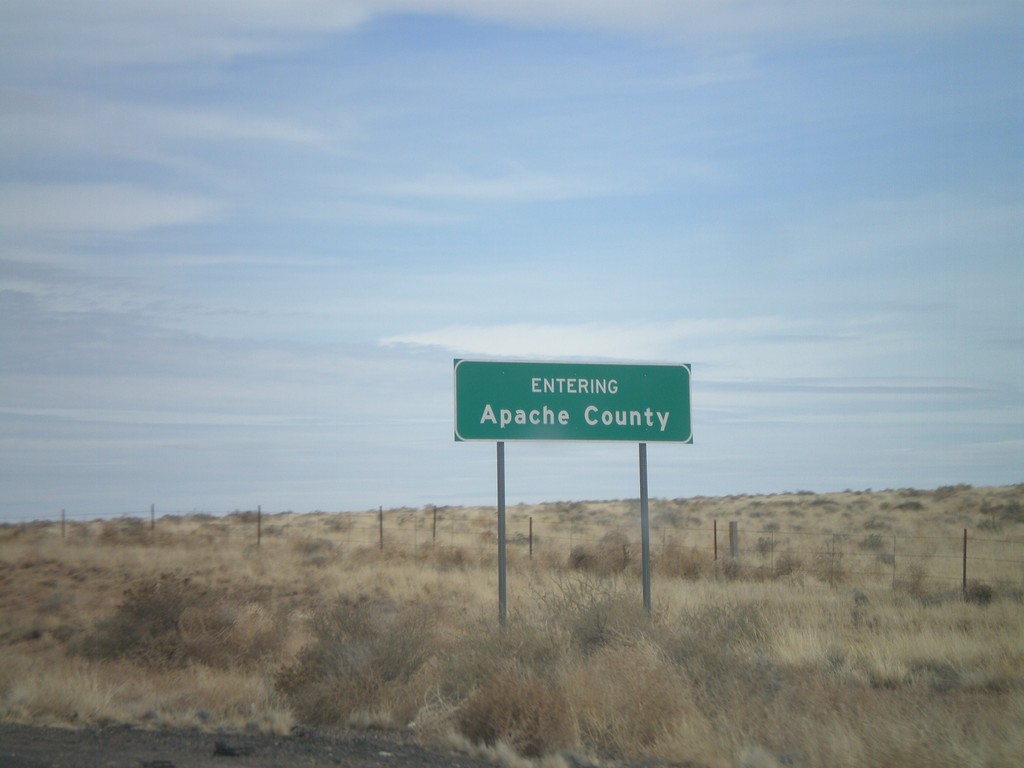
I-40 East - Entering Apache County
Entering Apache County on I-40 east.
Taken 02-24-2011
Adamana
Apache County
Arizona
United States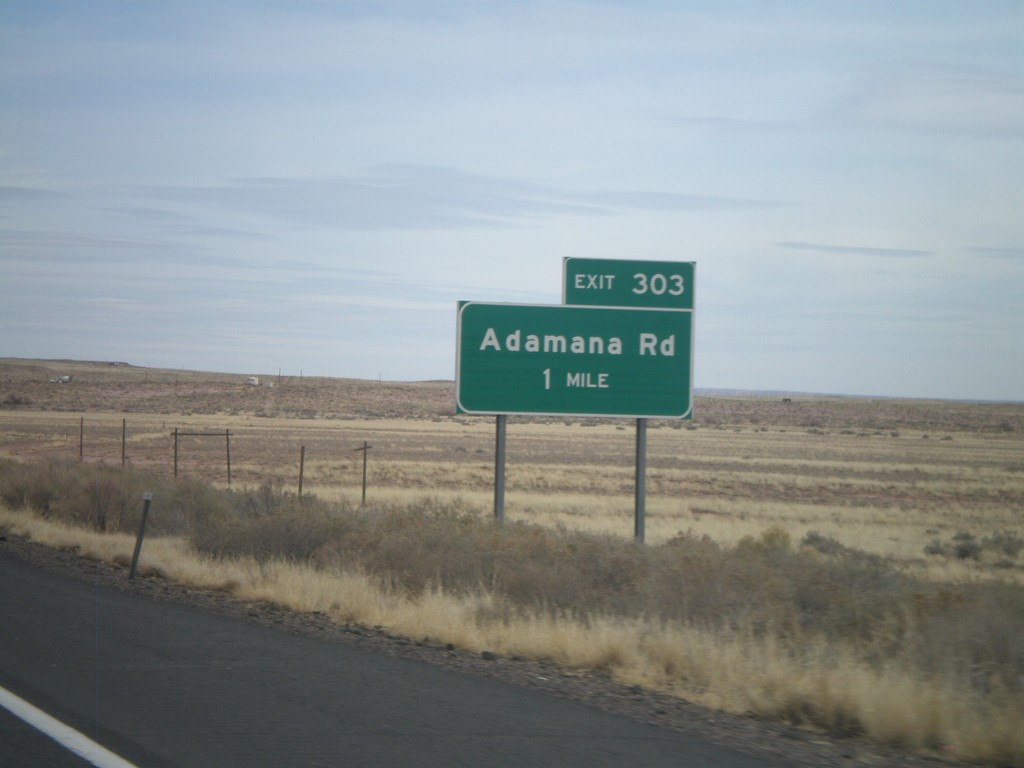
I-40 East - Exit 303
I-40 east at Exit 303 - Adamana Road.
Taken 02-24-2011
Sun Valley
Navajo County
Arizona
United States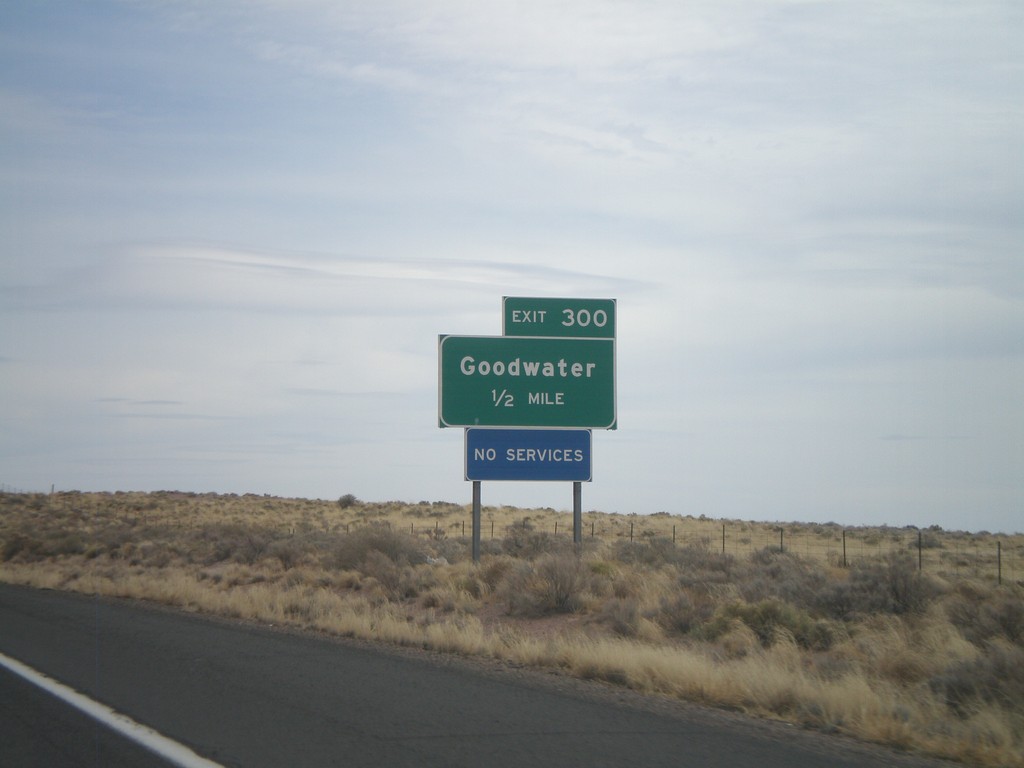
I-40 East Approaching Exit 300
I-40 east approaching Exit 300 - Goodwater.
Taken 02-24-2011
Sun Valley
Navajo County
Arizona
United States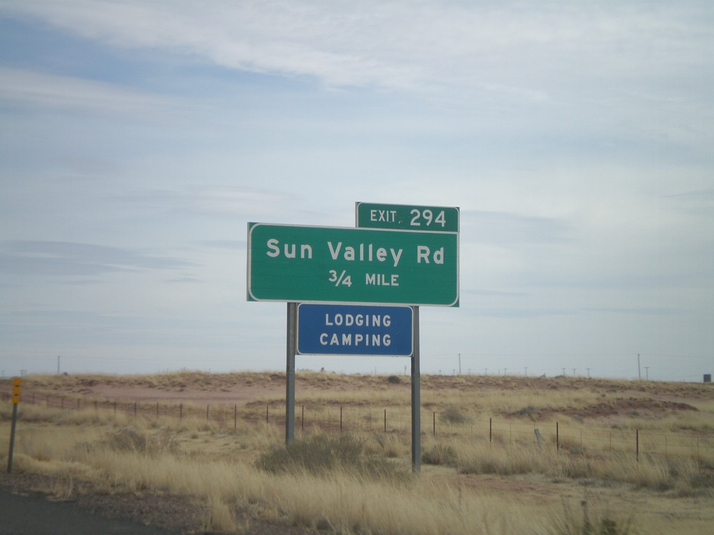
I-40 East Approaching Exit 294
I-40 east approaching Exit 294 - Sun Valley Road.
Taken 02-24-2011
Sun Valley
Navajo County
Arizona
United States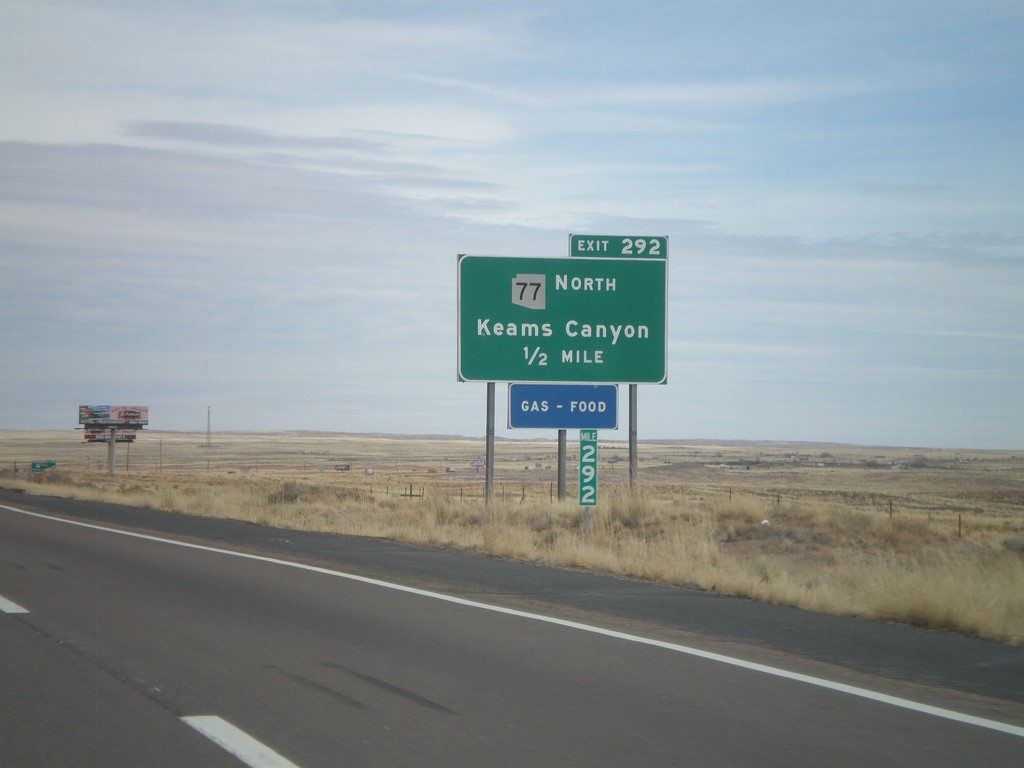
I-40 East - Exit 292
I-40 east at Exit 292 - AZ-77 North/Keams Canyon. AZ-77 north leaves I-40 here, and heads north onto the Hopi Indian Reservation.
Taken 02-24-2011
 Holbrook
Navajo County
Arizona
United States
Holbrook
Navajo County
Arizona
United States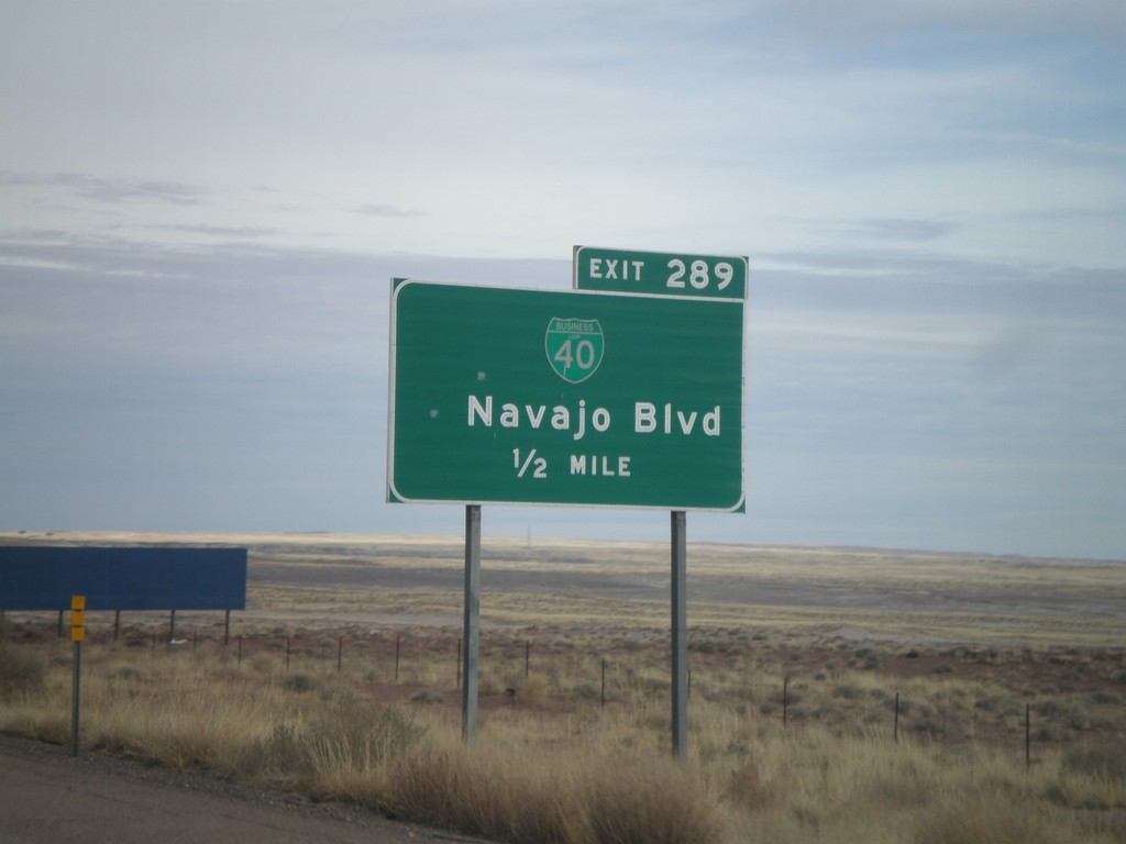
I-40 East - Exit 289
I-40 east approaching Exit 289 - BL-40/Navajo Blvd.
Taken 02-24-2011
 Holbrook
Navajo County
Arizona
United States
Holbrook
Navajo County
Arizona
United States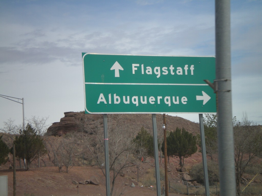
BL-40 East/AZ-77 North at I-40
BL-40 East/AZ-77 North at I-40 freeway entrance. Use I-40 west for Flagstaff; use I-40 east for Albuquerque. AZ-77 joins I-40 east through Holbrook.
Taken 02-24-2011
Holbrook
Navajo County
Arizona
United States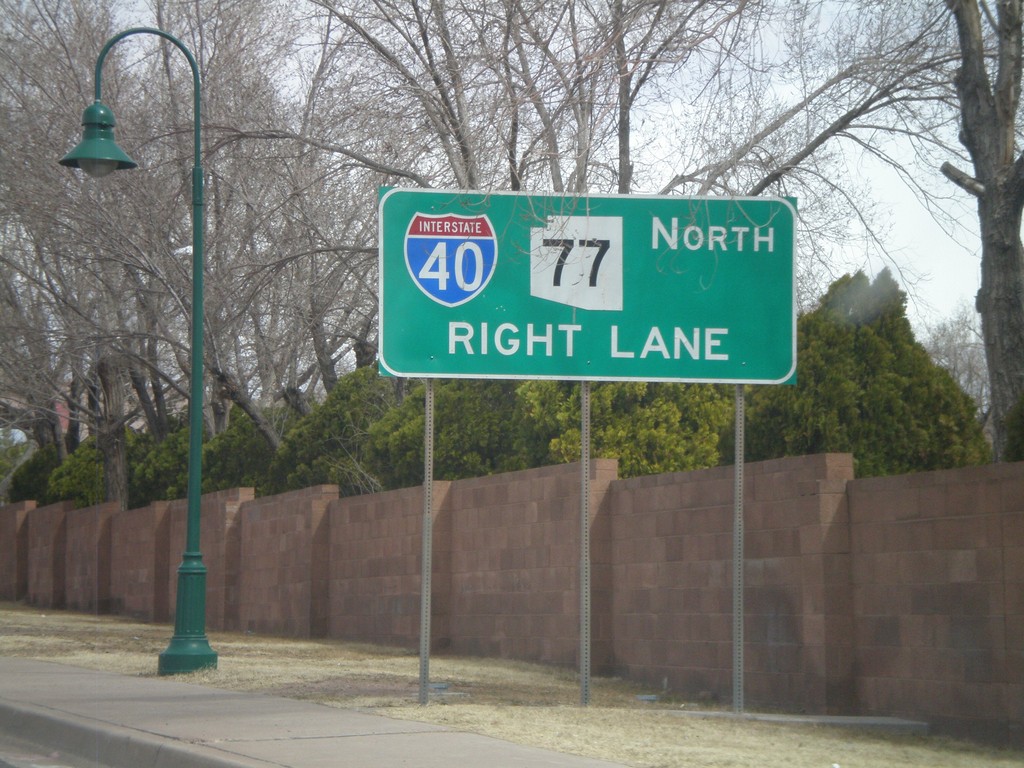
BL-40 East/AZ-77 North Approaching I-40
BL-40 East/AZ-77 North approaching I-40. AZ-77 joins I-40 east through Holbrook.
Taken 02-24-2011
Holbrook
Navajo County
Arizona
United States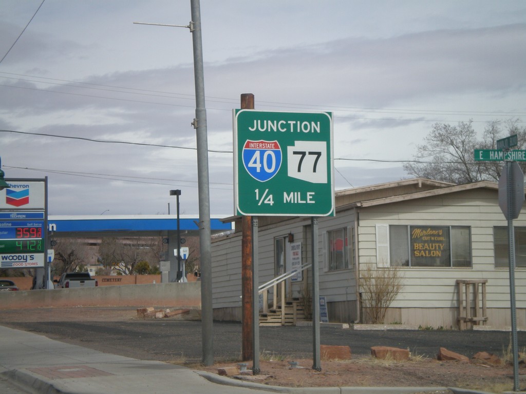
AZ-77 North/BL-40 East Approaching I-40
AZ-77 North/BL-40 East approaching I-40. AZ-77 north joins I-40 east to the east side of Holbrook.
Taken 02-24-2011
Holbrook
Navajo County
Arizona
United States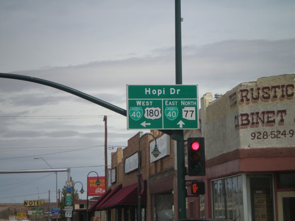
US-180 West/AZ-77 North at BL-40
US-180 West/AZ-77 North at BL-40. Continue straight for BL-40 East/AZ-77 North (Navajo Blvd.). Turn left for BL-40 West/US-180 West (Hopi Drive).
Taken 02-24-2011
 Holbrook
Navajo County
Arizona
United States
Holbrook
Navajo County
Arizona
United States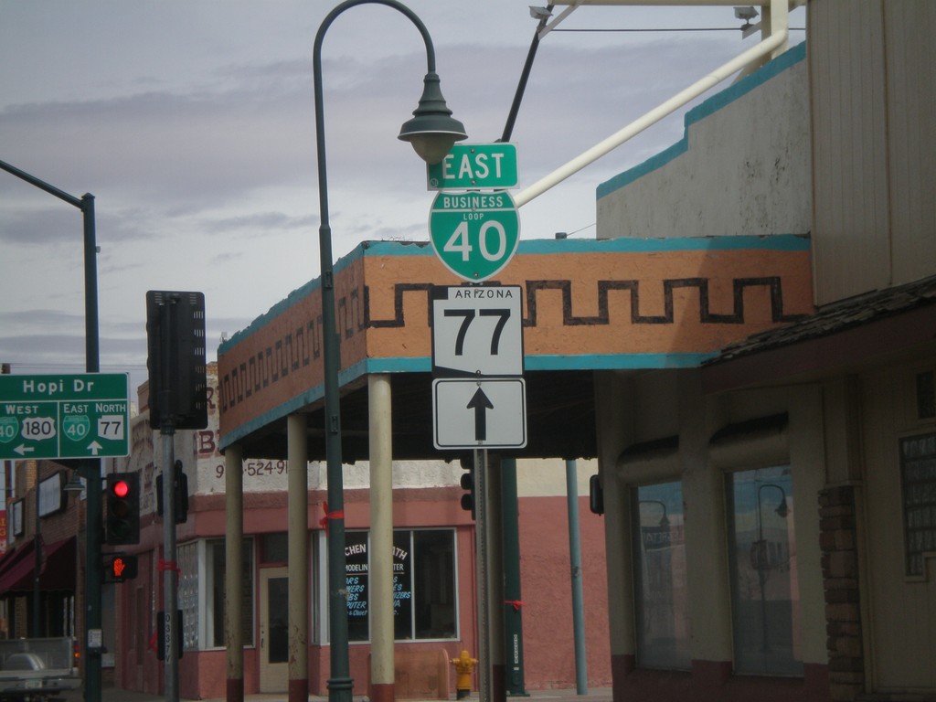
AZ-77 North/US-180 West at BL-40
AZ-77 North/US-180 West at BL-40 in downtown Holbrook. Continue straight on Navajo Blvd. for AZ-77 North/BL-40 East. Turn left on Hopi Drive for US-180 West/BL-40 west.
Taken 02-24-2011
Holbrook
Navajo County
Arizona
United States
AZ-77 North/US-180 West Approaching BL-40
AZ-77 north/US-180 west approaching BL-40 in Holbrook.
Taken 02-24-2011
Holbrook
Navajo County
Arizona
United States
South Apache Dr. at AZ-77 and US-180
S. Apache Dr. at AZ-77 and US-180. Use AZ-77 south for Snowflake; use AZ-77 north/US-180 west for Holbrook; use US-180 east for Petrified Forest.
Taken 02-24-2011
Holbrook
Navajo County
Arizona
United States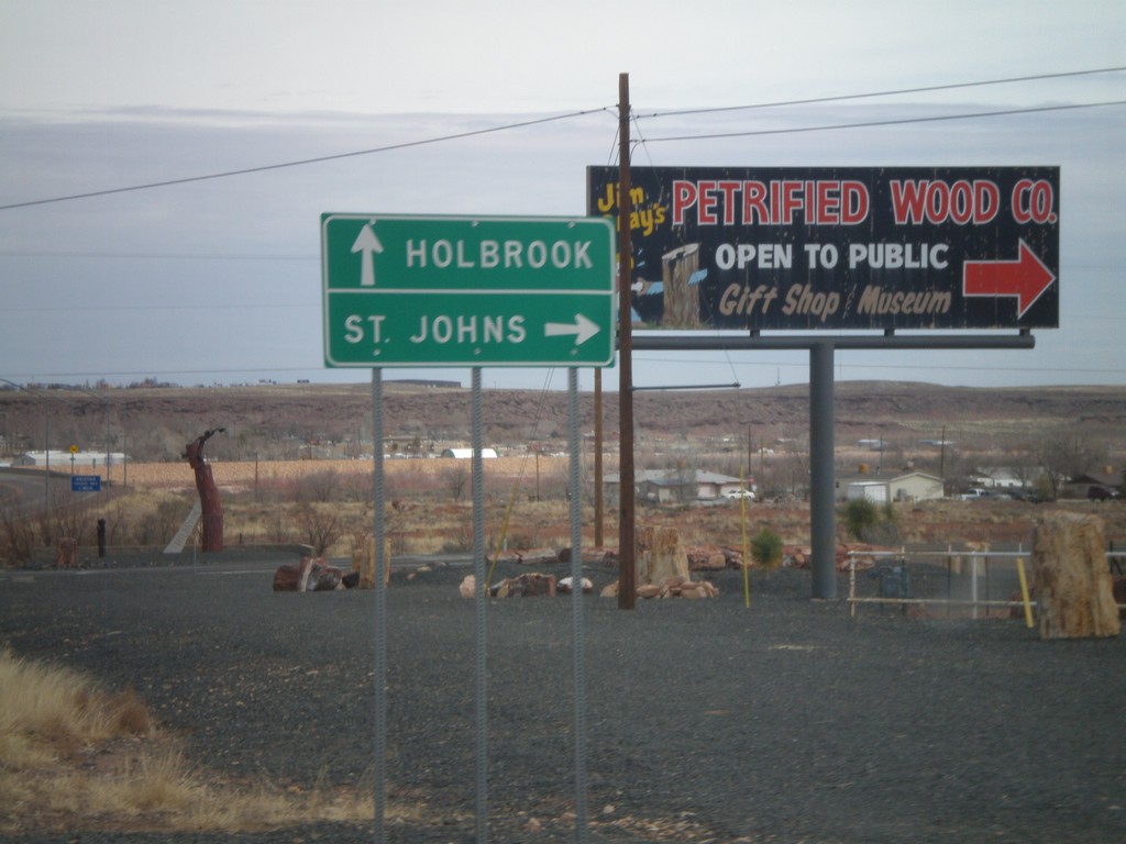
AZ-77 North at US-180
AZ-77 north at US-180. Use US-180 east for St. Johns; use US-180 west/AZ-77 north for Holbrook.
Taken 02-24-2011
Holbrook
Navajo County
Arizona
United States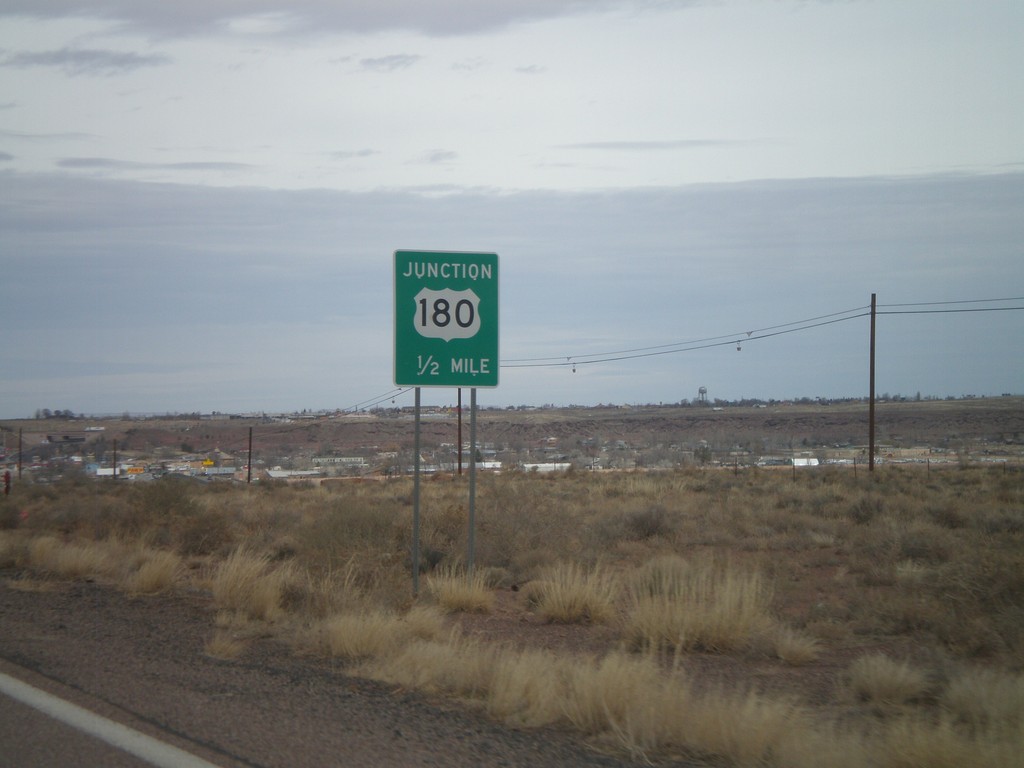
AZ-77 North Approaching US-180
AZ-77 North approaching US-180. US-180 joins AZ-77 into Holbrook.
Taken 02-24-2011
Holbrook
Navajo County
Arizona
United States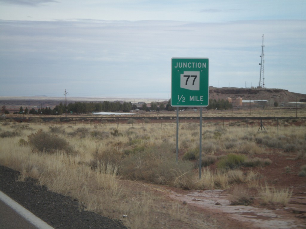
AZ-377 North Approaching AZ-77
AZ-377 north approaching AZ-77.
Taken 02-24-2011
 Holbrook
Navajo County
Arizona
United States
Holbrook
Navajo County
Arizona
United States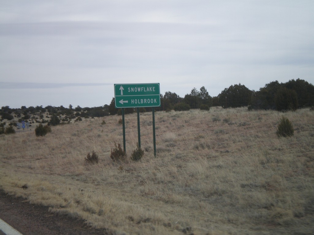
AZ-277 North at AZ-377
AZ-277 north at AZ-377. Use AZ-277 for Snowflake; use AZ-377 for Holbrook.
Taken 02-24-2011
 Heber-Overgaard
Navajo County
Arizona
United States
Heber-Overgaard
Navajo County
Arizona
United States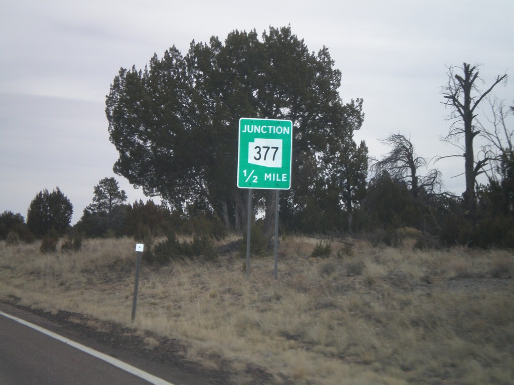
AZ-277 East Approaching AZ-377
AZ-277 east approaching AZ-377 north.
Taken 02-24-2011
Heber-Overgaard
Navajo County
Arizona
United States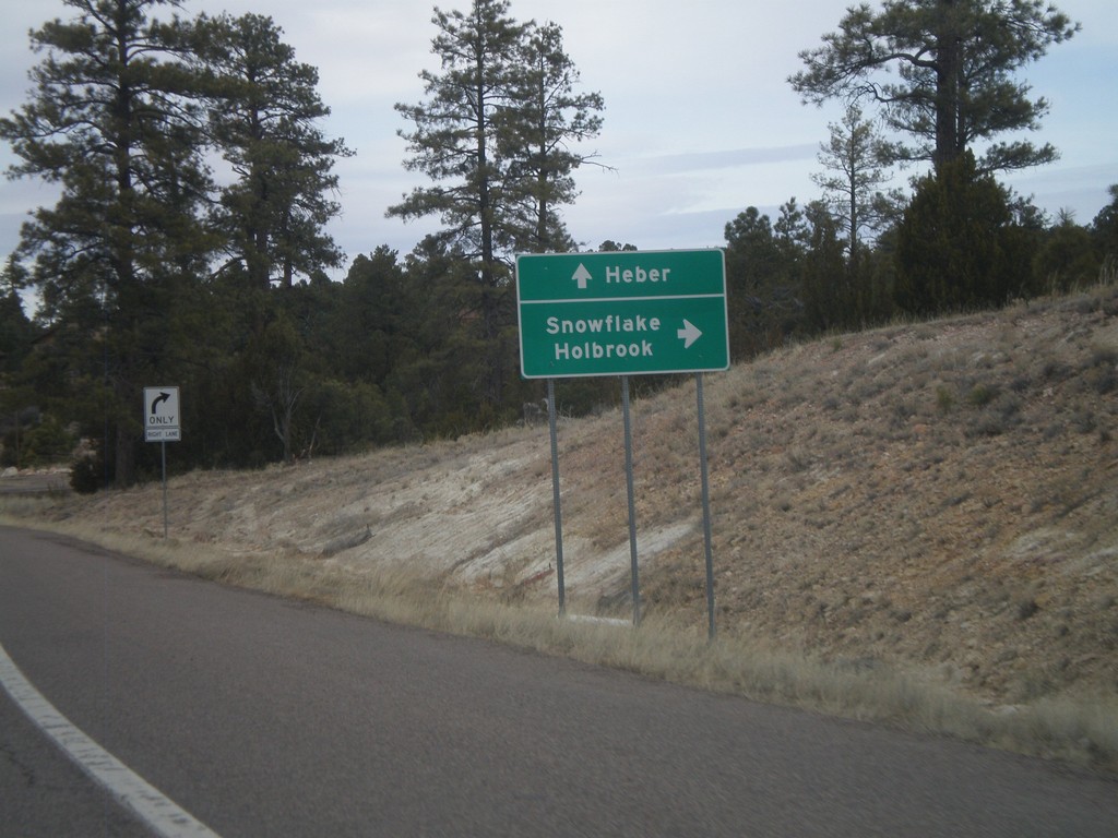
AZ-260 West at AZ-277
AZ-260 west at AZ-277. Use AZ-277 north for Snowflake and Holbrook. Continue west on AZ-260 for Heber.
Taken 02-24-2011
 Heber-Overgaard
Navajo County
Arizona
United States
Heber-Overgaard
Navajo County
Arizona
United States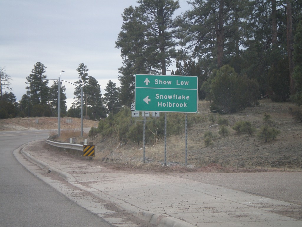
AZ-260 West at AZ-277 North
AZ-260 east at AZ-277 north to Snowflake and Holbrook. Continue east on AZ-260 for Show Low.
Taken 02-24-2011
Heber-Overgaard
Navajo County
Arizona
United States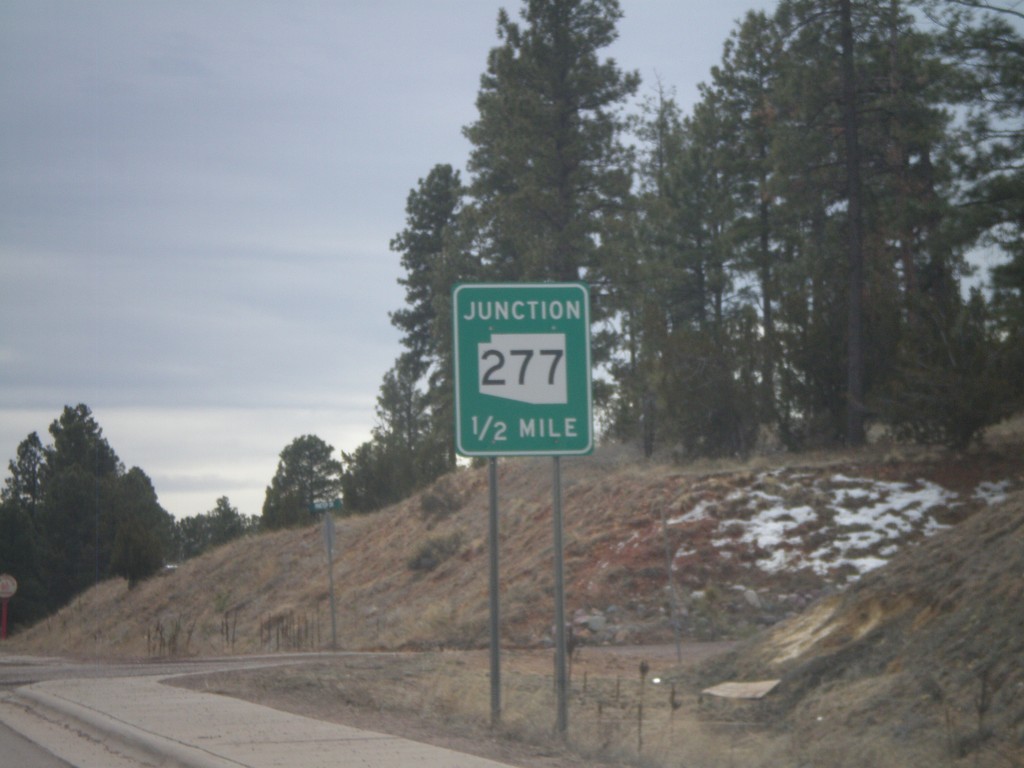
AZ-260 East Approaching AZ-277
AZ-260 east approaching AZ-277.
Taken 02-24-2011
Heber-Overgaard
Navajo County
Arizona
United States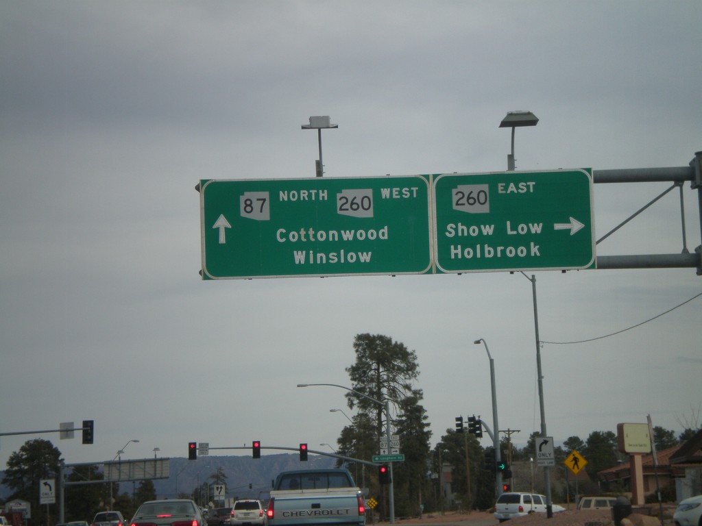
AZ-87 North at AZ-260
AZ-87 north at AZ-260. Turn right for AZ-260 east for Show Low and Holbrook. Continue straight for AZ-260 west/AZ-87 north for Cottonwood (via AZ-260) and Winslow (via AZ-87). AZ-260 west joins AZ-87 north to the top of the Mogollon Rim.
Taken 02-24-2011
 Payson
Gila County
Arizona
United States
Payson
Gila County
Arizona
United States