Signs Tagged With Big Green Sign
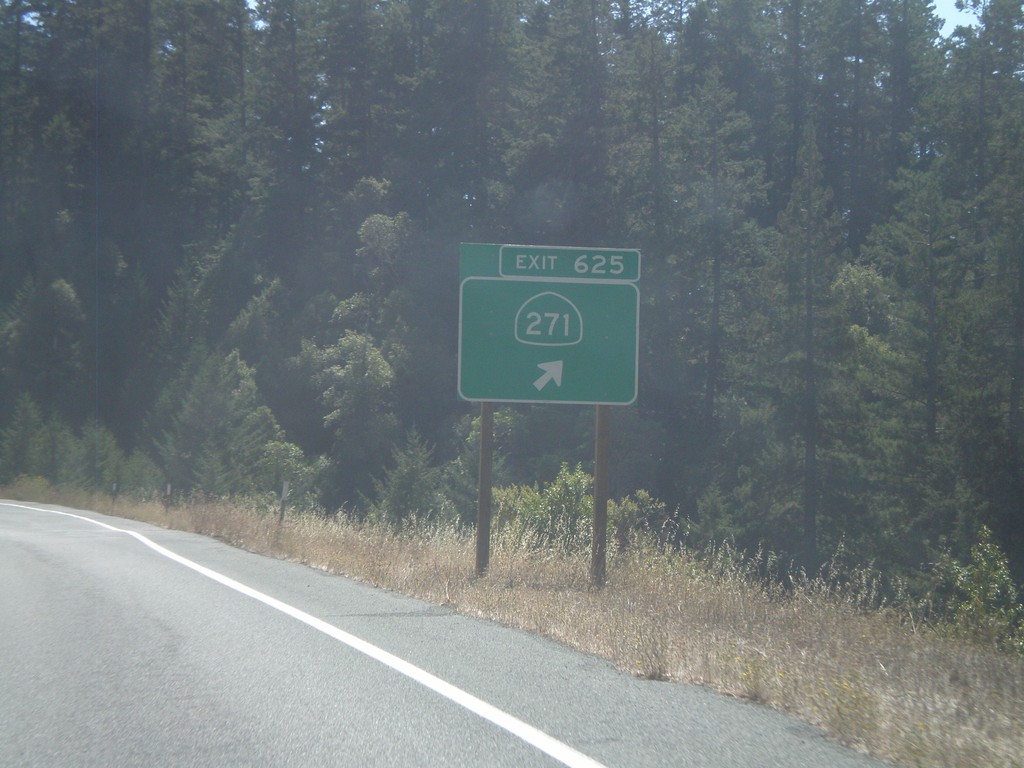
US-101 South - Exit 625
US-101 south at Exit 625 - CA-271
Taken 09-25-2009

 Piercy
Mendocino County
California
United States
Piercy
Mendocino County
California
United States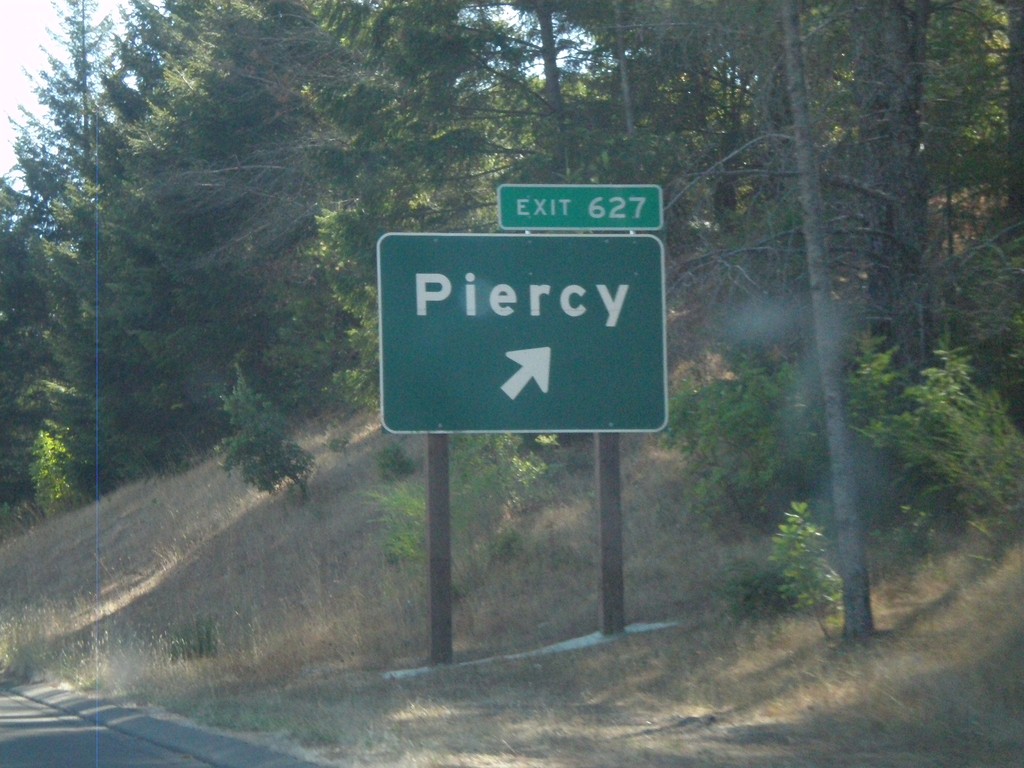
US-101 South - Exit 627
US-101 south at Exit 627 - Piercy
Taken 09-25-2009
Piercy
Mendocino County
California
United States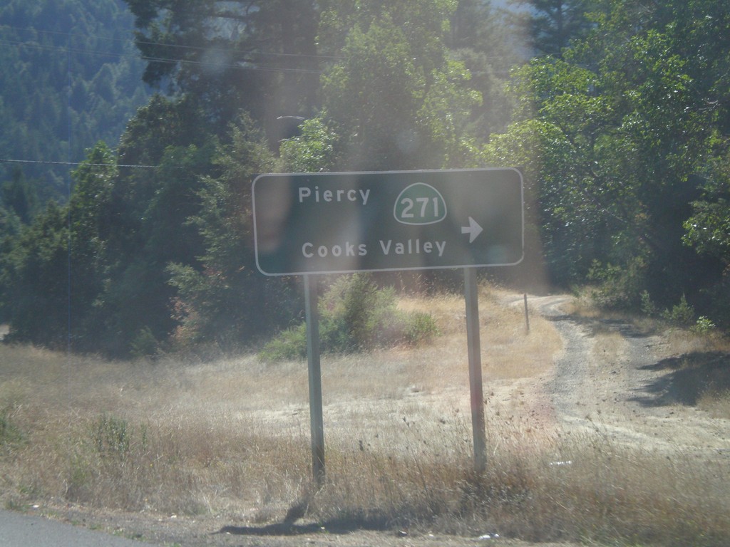
US-101 South at CA-271
US-101 south at CA-271/Piercy/Cooks Valley
Taken 09-25-2009
Garberville
Humboldt County
California
United States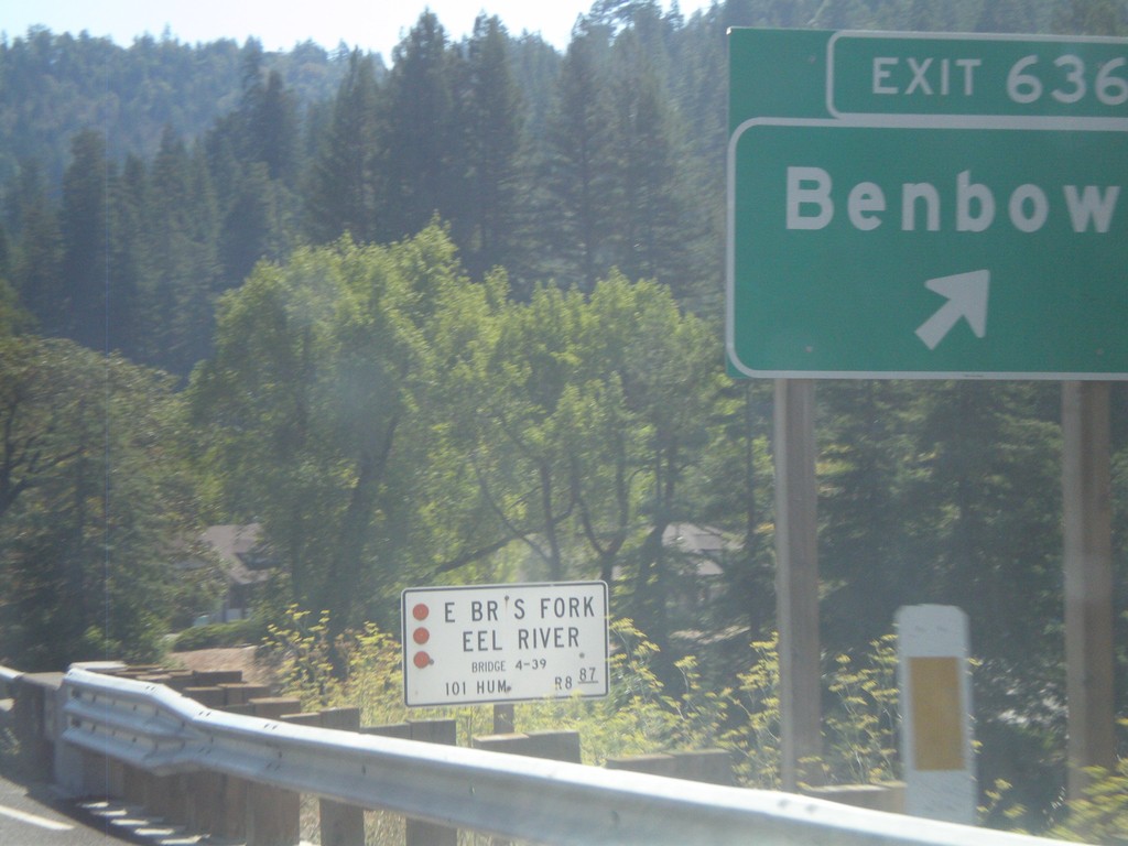
US-101 South - Exit 636
US-101 south at Exit 636 - Benbow
Taken 09-25-2009
Garberville
Humboldt County
California
United States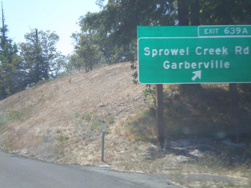
US-101 South - Exit 639A
US-101 south at Exit 639A - Sprowel Creek Road/Garberville
Taken 09-25-2009
Garberville
Humboldt County
California
United States
US-101 South - Exit 639B
US-101 south at Exit 639B - Garberville
Taken 09-25-2009
Garberville
Humboldt County
California
United States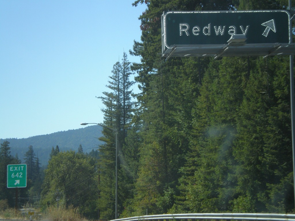
US-101 South - Exit 642
US-101 south Exit 642 - Redway
Taken 09-25-2009
Redway
Humboldt County
California
United States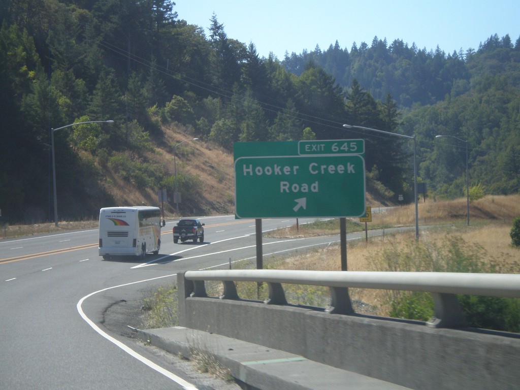
US-101 South - Exit 645
US-101 south at Exit 645 - Hooker Creek Road
Taken 09-25-2009
Phillipsville
Humboldt County
California
United States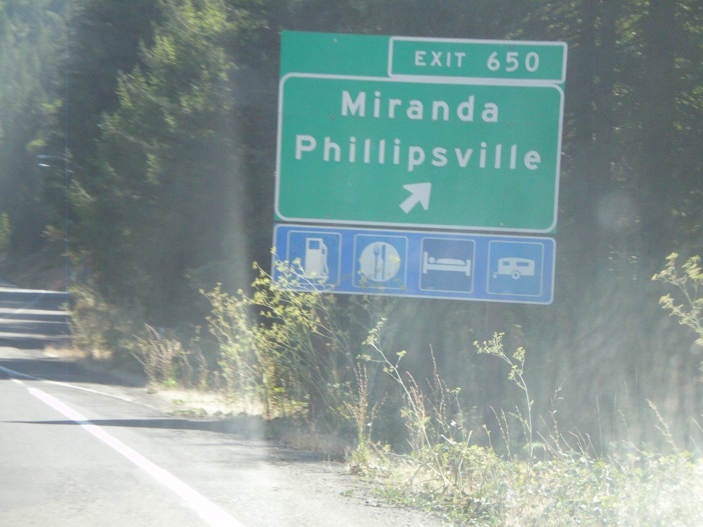
US-101 South - Exit 650
US-101 south at Exit 650 - Miranda/Phillipsville
Taken 09-25-2009
Miranda
Humboldt County
California
United States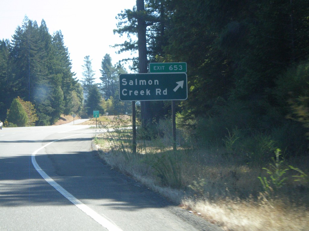
US-101 South - Exit 653
US-101 south at Exit 653 - Holmes/Redcrest
Taken 09-25-2009
Miranda
Humboldt County
California
United States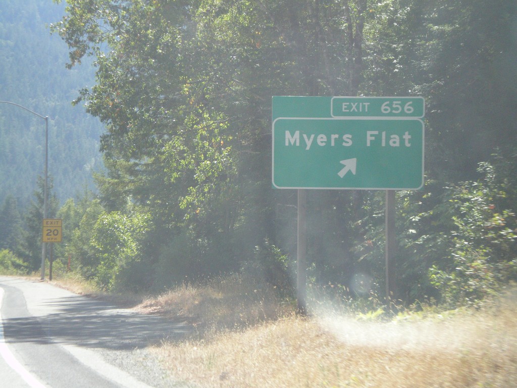
US-101 South - Exit 656
US-101 south at Exit 656 - Myers Flat
Taken 09-25-2009
Myers Flat
Humboldt County
California
United States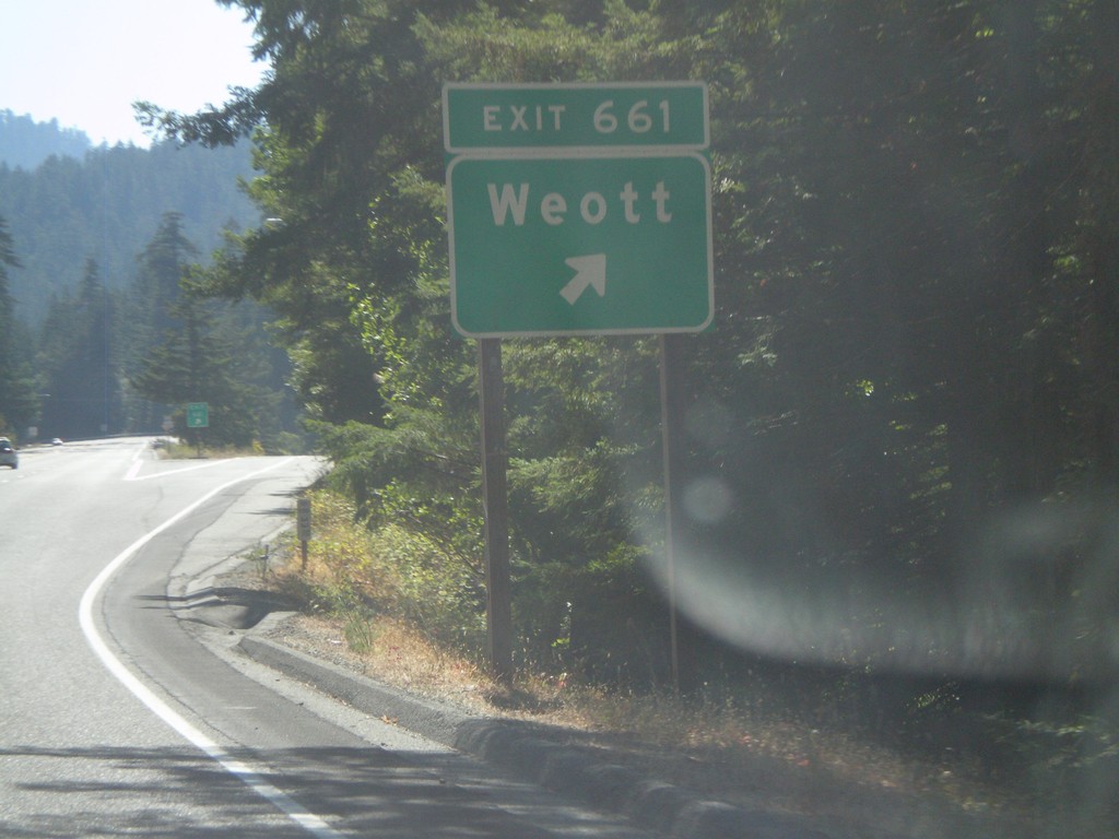
US-101 South - Exit 661
US-101 south at Exit 661- Weott
Taken 09-25-2009
Whitethorn
Humboldt County
California
United States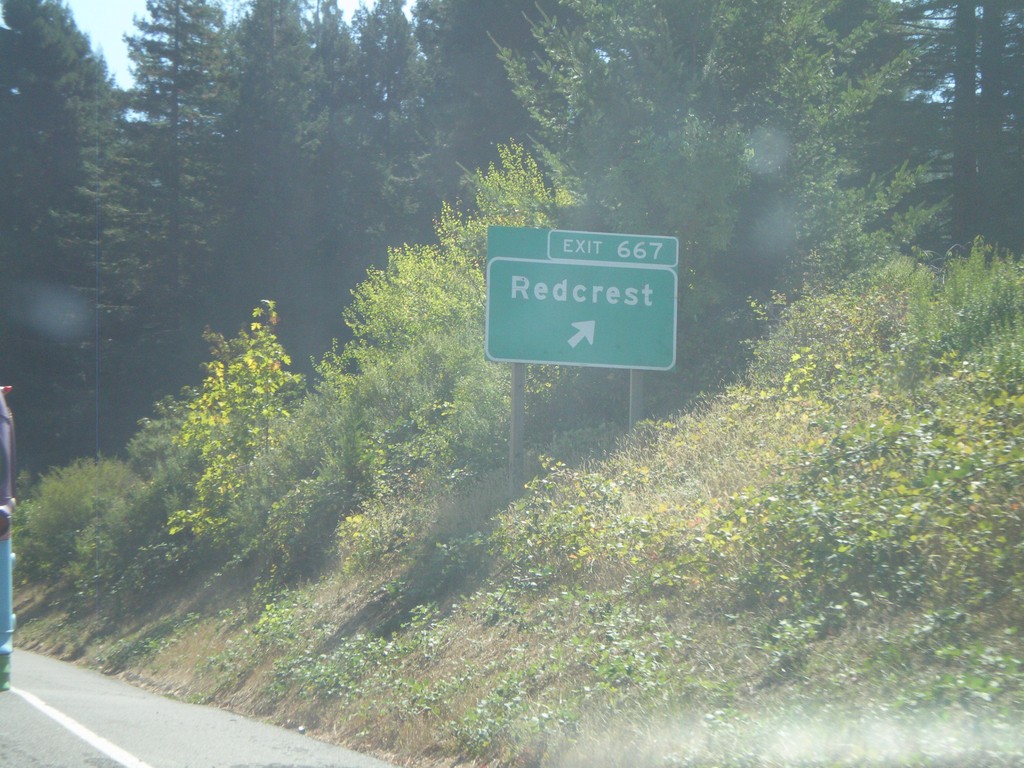
US-101 South - Exit 667
US-101 south at Exit 667 - Redcrest
Taken 09-25-2009
Redcrest
Humboldt County
California
United States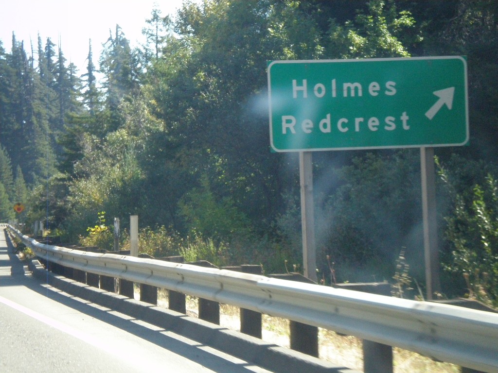
US-101 South - Exit 667
US-101 south at Exit 667 - Holmes/Redcrest
Taken 09-25-2009
Pepperwood
Humboldt County
California
United States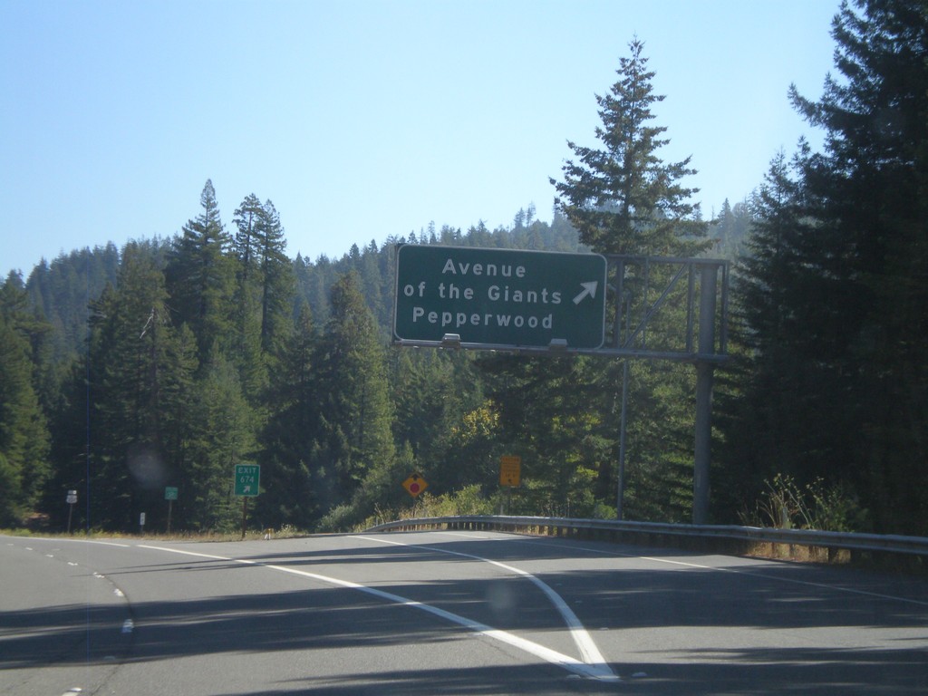
US-101 South - Exit 674
US-101 south at Exit 674 - Avenue of the Giants / Pepperwood
Taken 09-25-2009
 Elinor
Humboldt County
California
United States
Elinor
Humboldt County
California
United States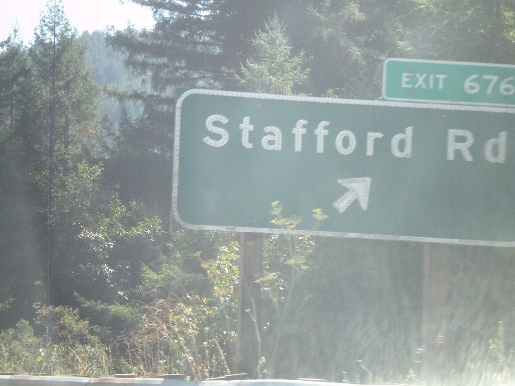
US-101 South - Exit 676
US-101 south at Exit 676 - Stafford Road
Taken 09-25-2009
Stafford
Humboldt County
California
United States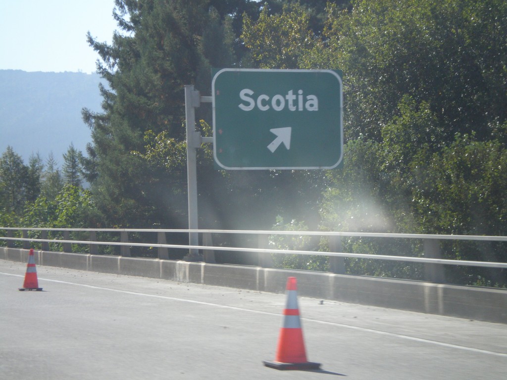
US-101 South Exit 679
US-101 south at Exit 679 - Scotia
Taken 09-25-2009
Rio Dell
Humboldt County
California
United States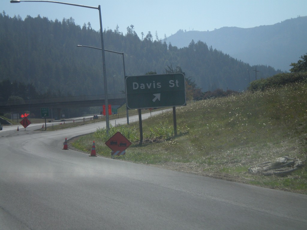
US-101 South - Exit 680
US-101 south at Exit 680 - Davis St.
Taken 09-25-2009
Rio Dell
Humboldt County
California
United States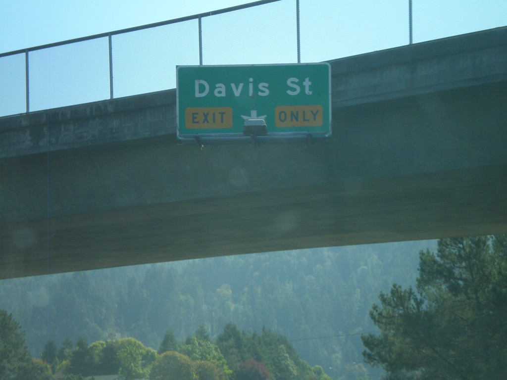
US-101 South - Approaching Exit 680
US-101 south approaching Exit 680 - Davis St.
Taken 09-25-2009
Rio Dell
Humboldt County
California
United States
US-101 South - Exit 681
US-101 south at Exit 681 - Rio Dell.
Taken 09-25-2009
Rio Dell
Humboldt County
California
United States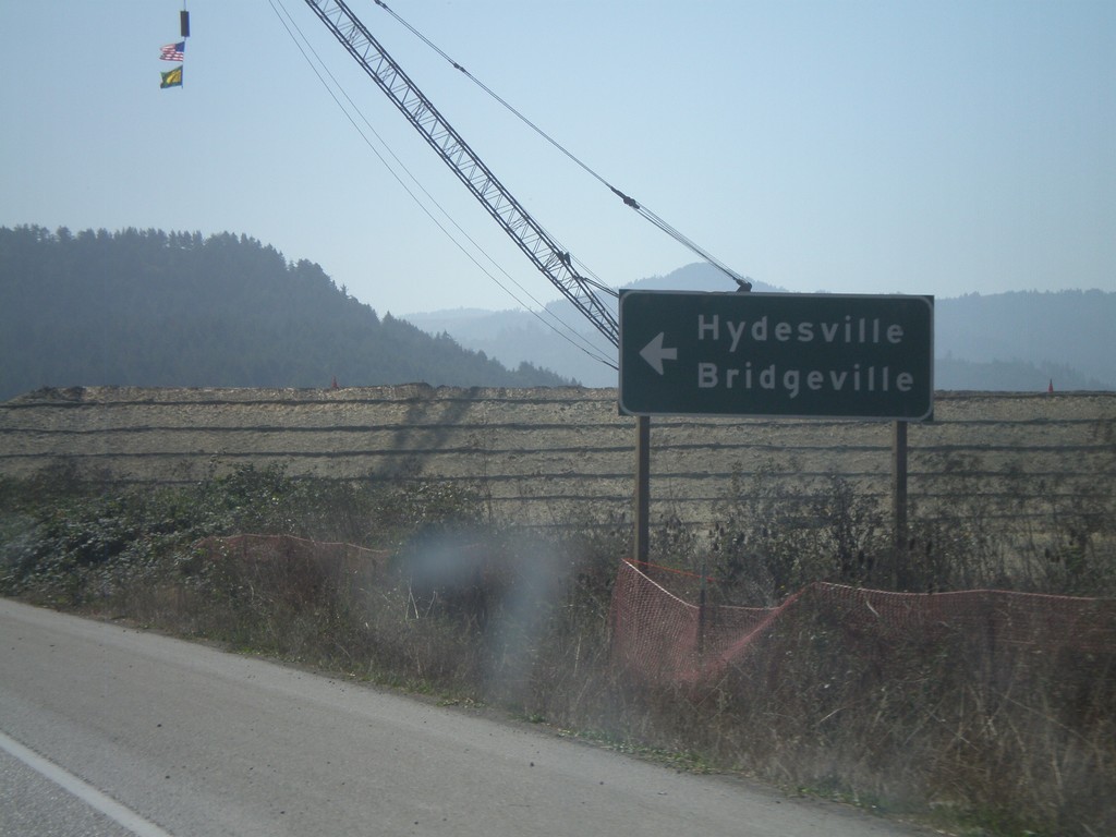
US-101 South at CA-36
US-101 south atCA-36 east to Hydesville and Bridgeville.
Taken 09-25-2009
 Fortuna
Humboldt County
California
United States
Fortuna
Humboldt County
California
United States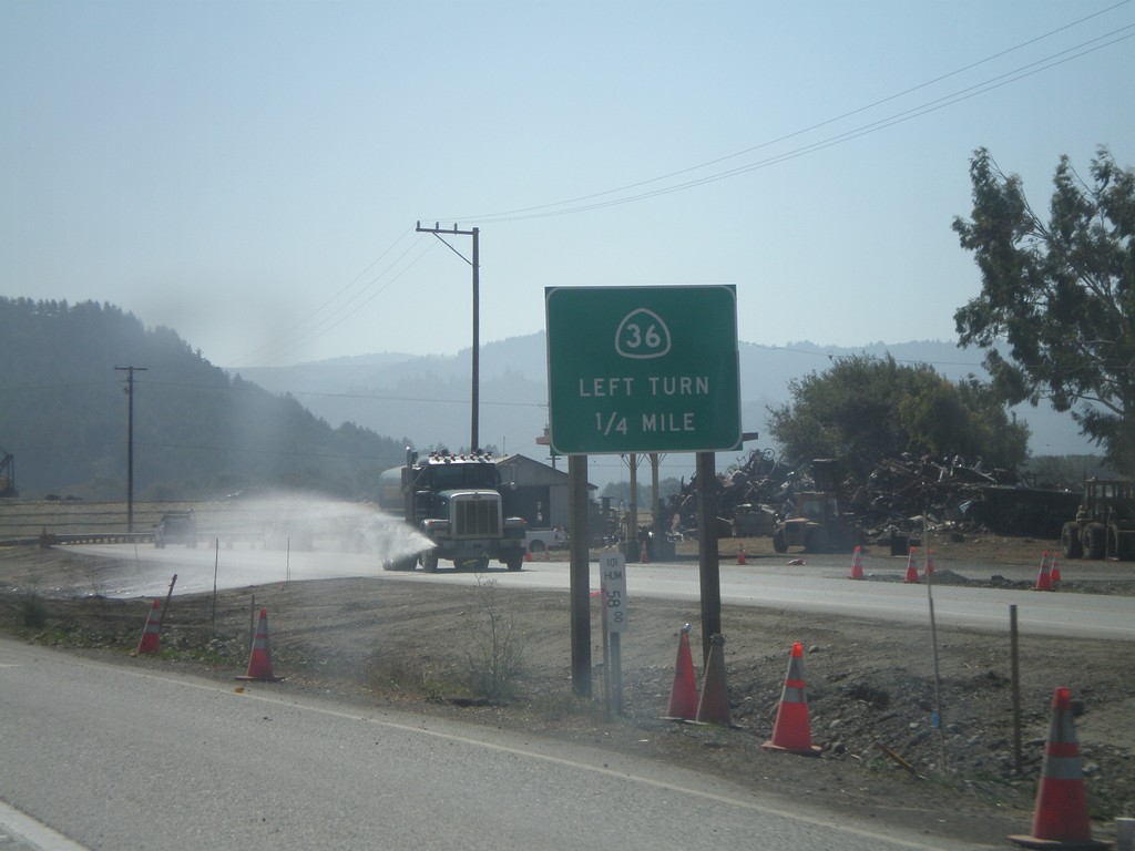
US-101 South Approaching CA-36
US-101 south approaching CA-36 east.
Taken 09-25-2009
Fortuna
Humboldt County
California
United States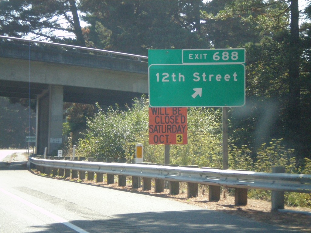
US-101 South - Exit 688
US-101 south at Exit 688 - 12th St.
Taken 09-25-2009
Fortuna
Humboldt County
California
United States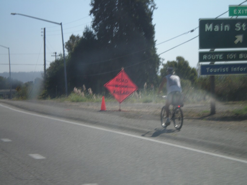
US-101 South - Exit 689
US-101 south at Exit 689 - Main St.
Taken 09-25-2009
Fortuna
Humboldt County
California
United States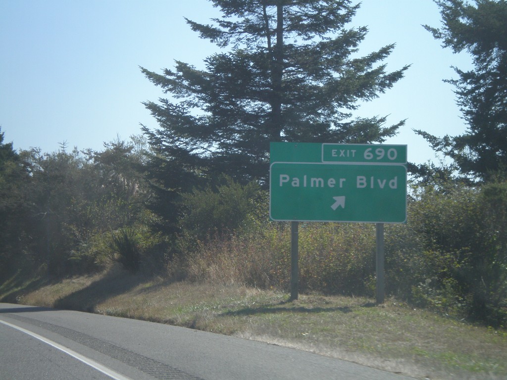
US-101 South - Exit 690
US-101 south at Exit 690 - Palmer Blvd.
Taken 09-25-2009
Fortuna
Humboldt County
California
United States