Signs Tagged With Big Green Sign
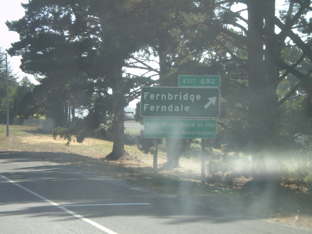
US-101 South - Exit 692
US-101 south Exit 692 - Fernbridge/Ferndale
Taken 09-25-2009
 Fortuna
Humboldt County
California
United States
Fortuna
Humboldt County
California
United States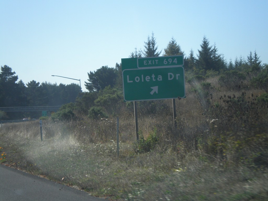
US-101 South - Exit 694
US-101 south Exit 694 - Loleta Drive
Taken 09-25-2009
Loleta
Humboldt County
California
United States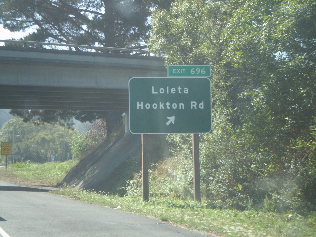
US-101 South - Exit 696
US-101 south Exit 696 - Loleta/Hookton Road
Taken 09-25-2009
Beatrice
Humboldt County
California
United States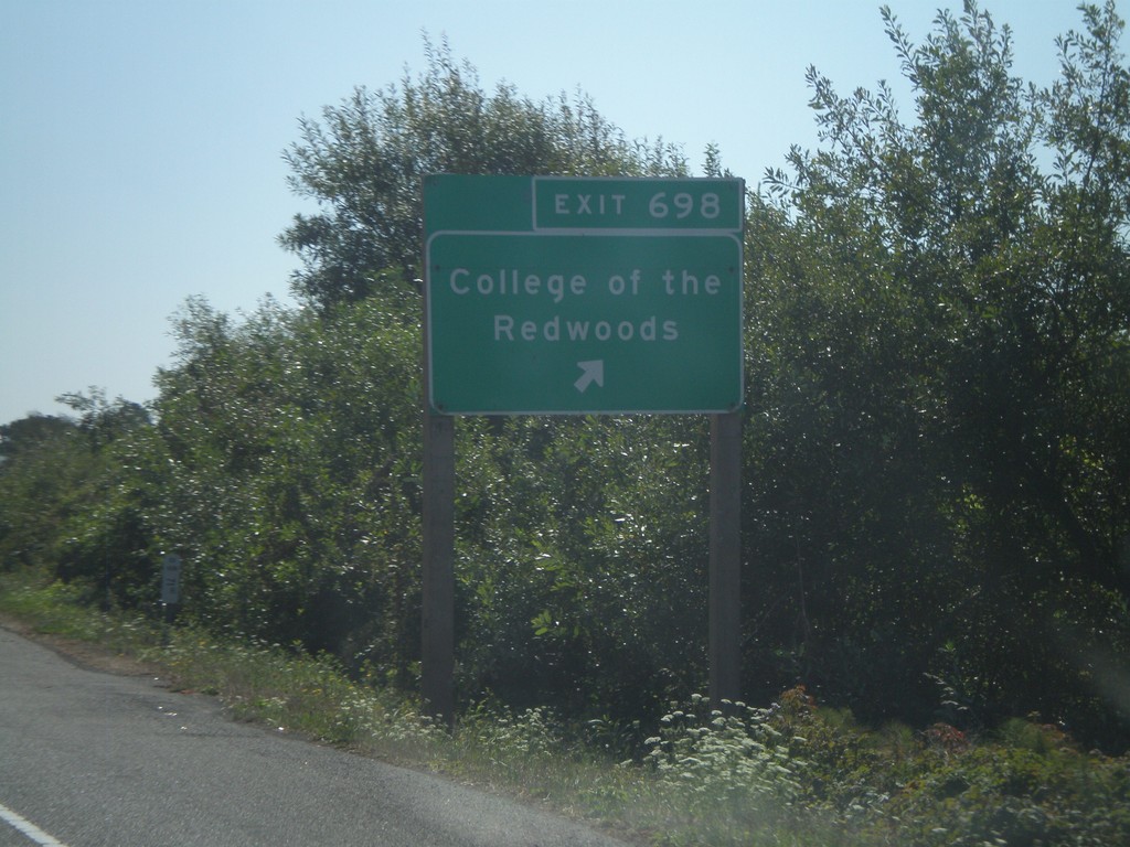
US-101 South - Exit 698
US-101 south Exit 698 - College of the Redwoods
Taken 09-25-2009
Eureka
Humboldt County
California
United States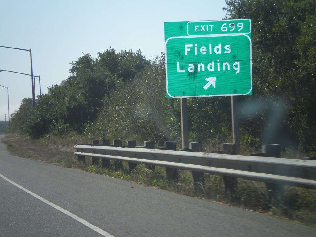
US-101 South - Exit 699
US-101 south Exit 699 - Fields Landing
Taken 09-25-2009
Eureka
Humboldt County
California
United States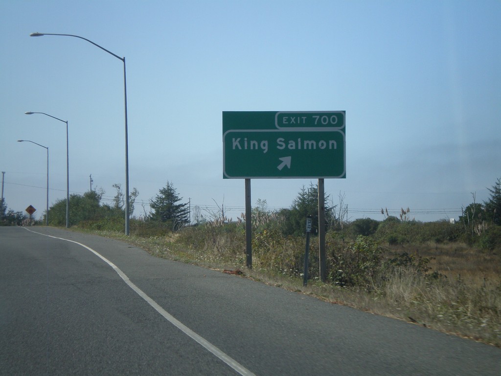
US-101 South - Exit 700
US-101 south Exit 700 - King Salmon
Taken 09-25-2009
Eureka
Humboldt County
California
United States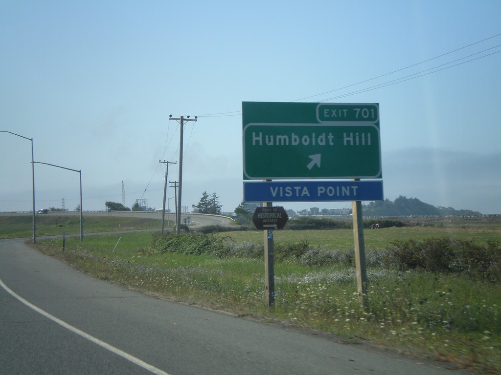
US-101 South - Exit 701
US-101 south Exit 701 - Humboldt Hill
Taken 09-25-2009
Eureka
Humboldt County
California
United States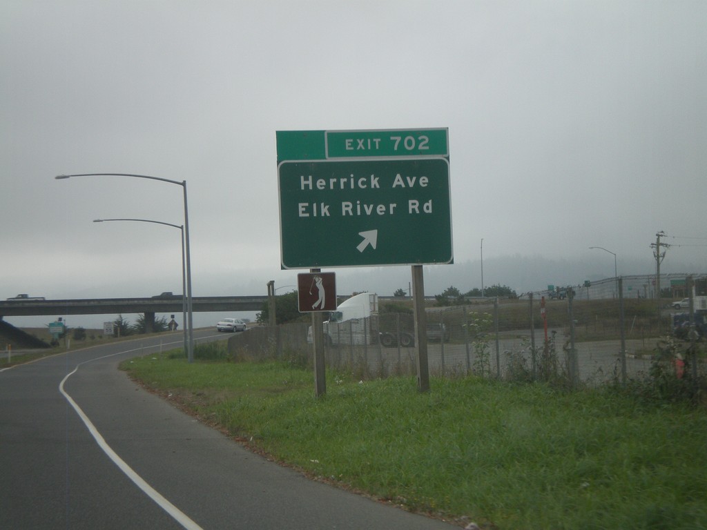
US-101 South - Exit 702
US-101 south Exit 702 - Herrick Ave./Elk River Road.
Taken 09-25-2009
Eureka
Humboldt County
California
United States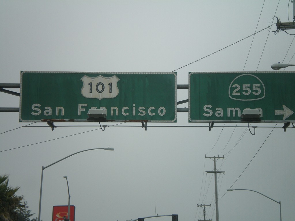
US-101 South At CA-255
US-101 south (4th St.) at CA-255/Samoa in downtown Eureka. Continue on US-101 for San Francisco.
Taken 09-25-2009
 Eureka
Humboldt County
California
United States
Eureka
Humboldt County
California
United States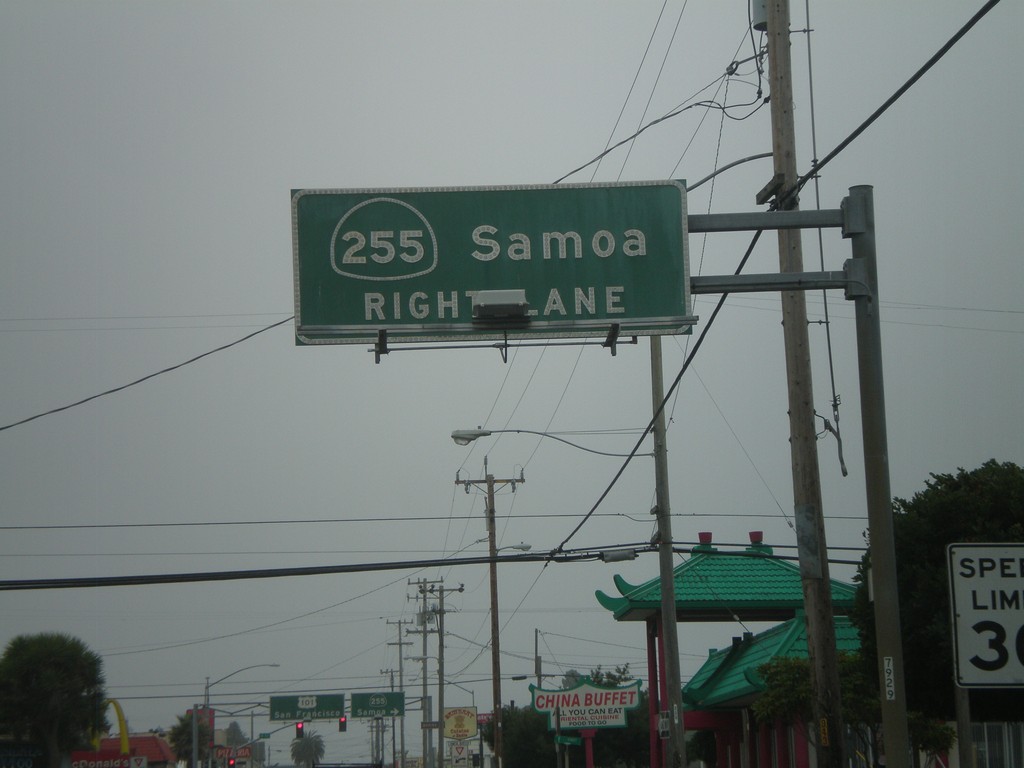
US-101 South Approaching CA-255
US-101 south (4th St.) approaching CA-255/Samoa in downtown Eureka.
Taken 09-25-2009
Eureka
Humboldt County
California
United States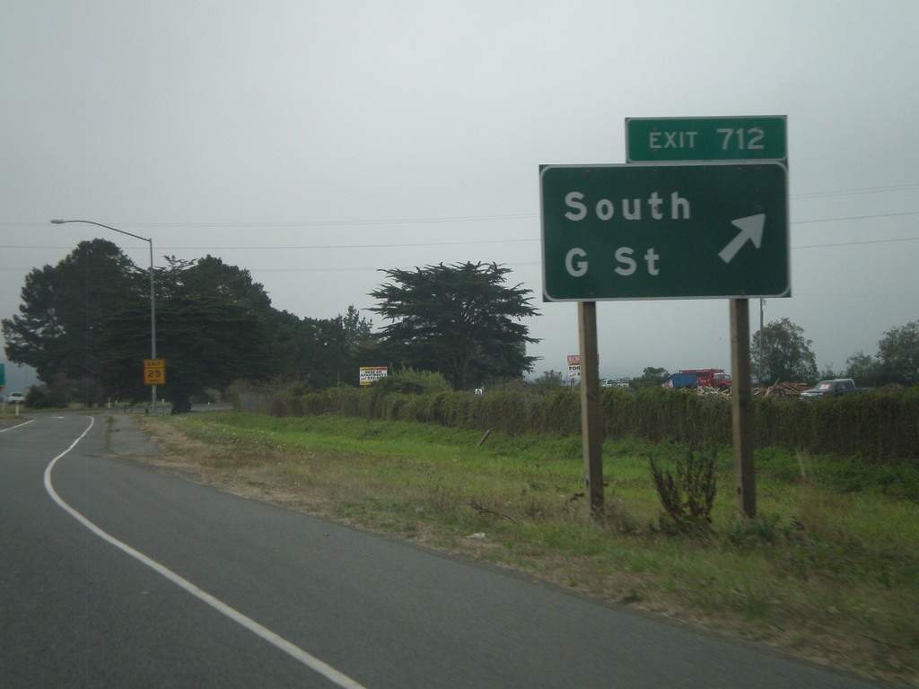
US-101 South - Exit 712
US-101 south Exit 712 - South G St.
Taken 09-25-2009
Arcata
Humboldt County
California
United States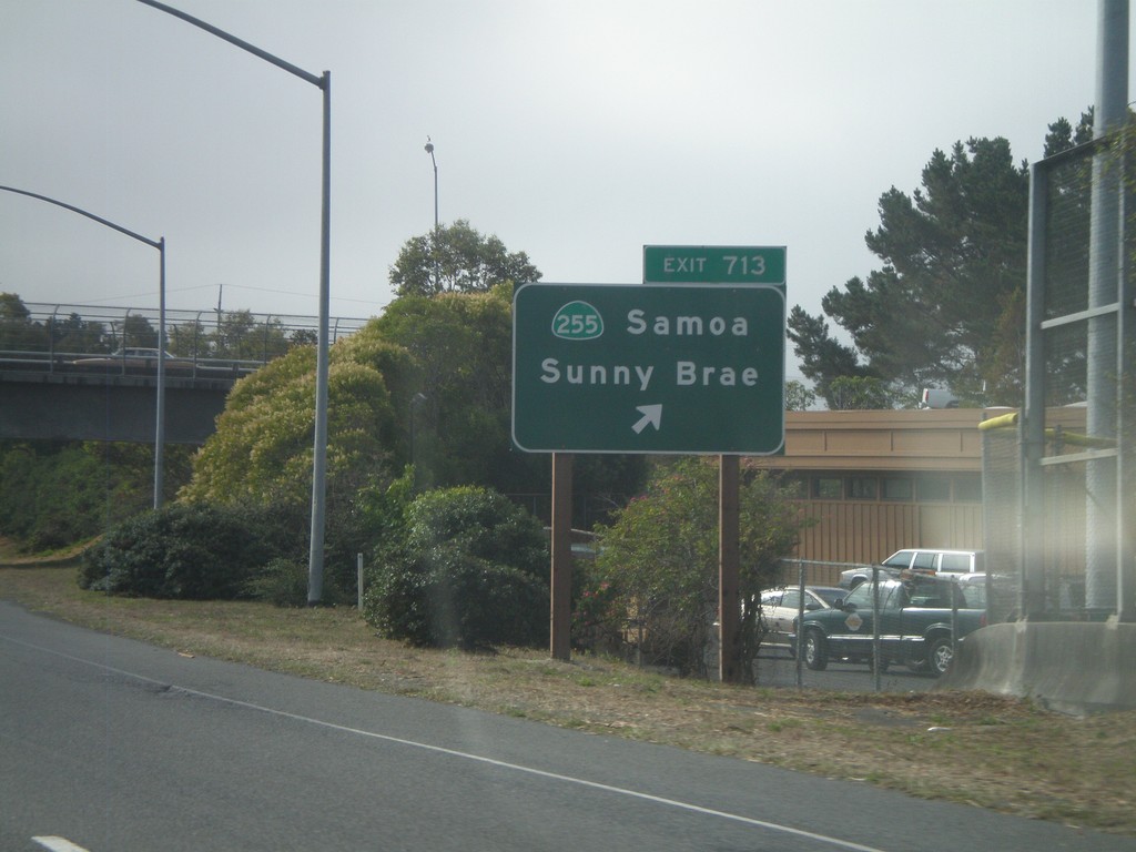
US-101 South - Exit 713
US-101 south Exit 713 - CA-255/Samoa/Sunny Brae
Taken 09-25-2009
Arcata
Humboldt County
California
United States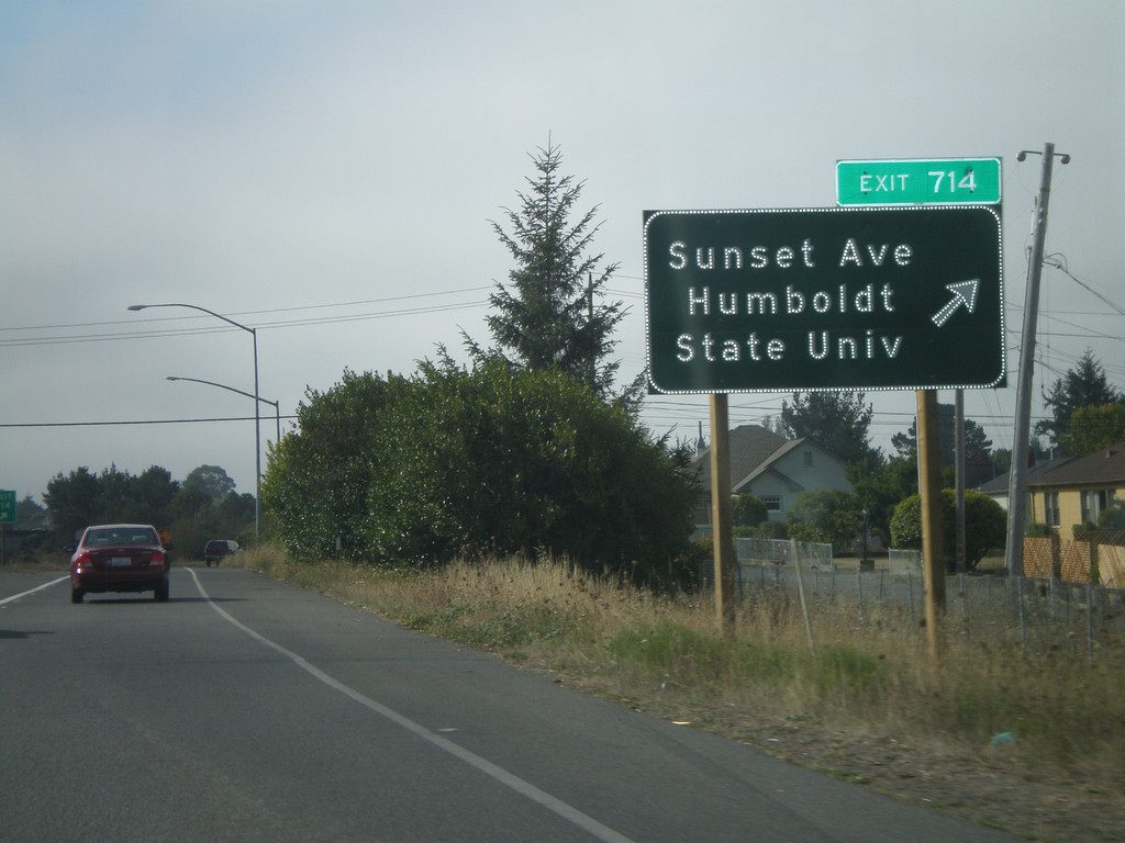
US-101 South - Exit 714
US-101 south Exit 714 - Sunset Ave./Humboldt State University
Taken 09-25-2009
Arcata
Humboldt County
California
United States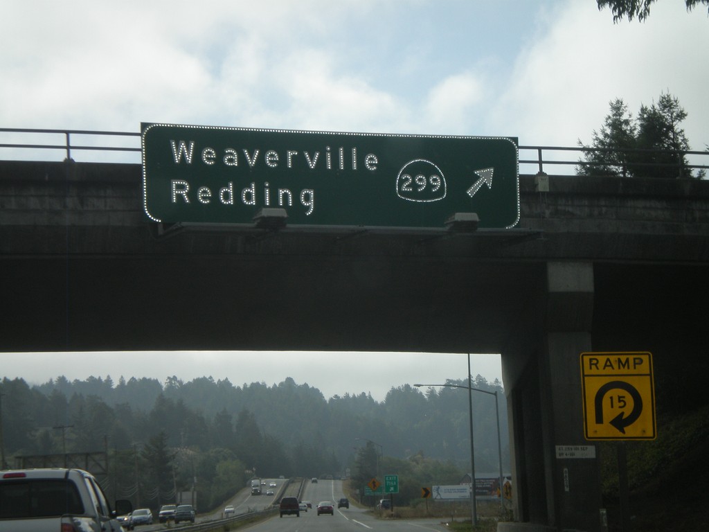
US-101 South - Exit 716A
US-101 south Exit 716A - CA-299/Weaverville/
Taken 09-25-2009
 Arcata
Humboldt County
California
United States
Arcata
Humboldt County
California
United States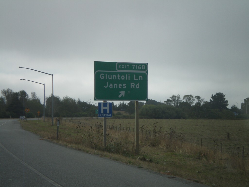
US-101 South - Exit 716B
US-101 south Exit 716B - Giuntoli Lane/Janes Road
Taken 09-25-2009
Arcata
Humboldt County
California
United States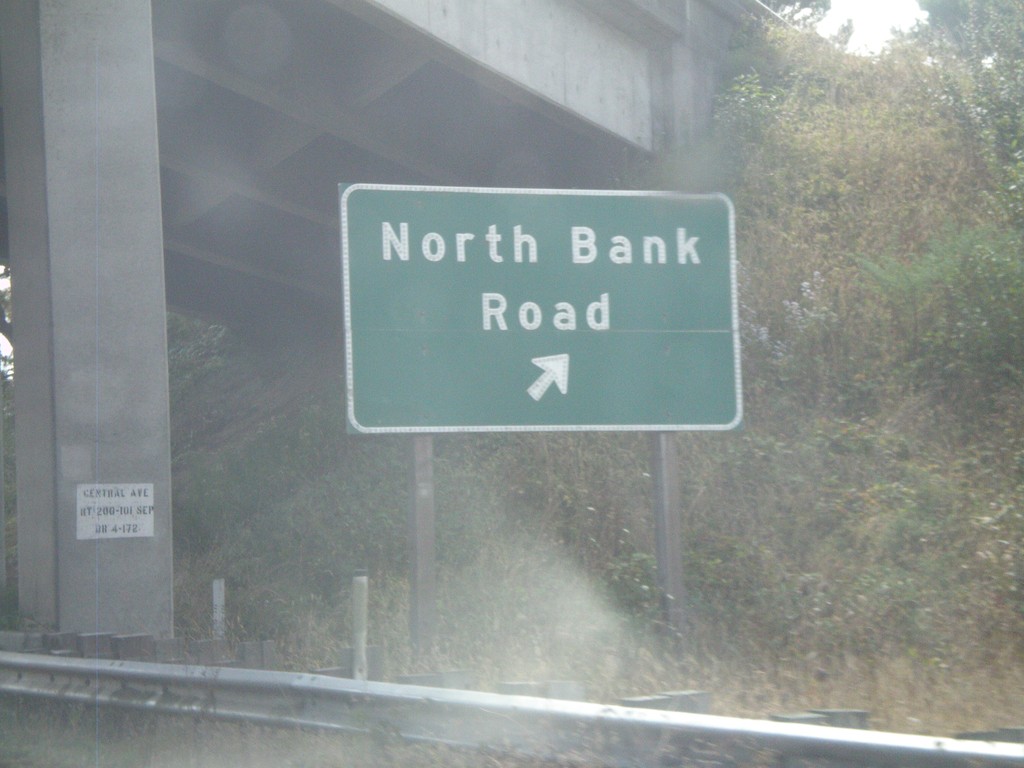
US-101 South - Exit 718
US-101 south Exit 718 - North Bank Road
Taken 09-25-2009
 McKinleyville
Humboldt County
California
United States
McKinleyville
Humboldt County
California
United States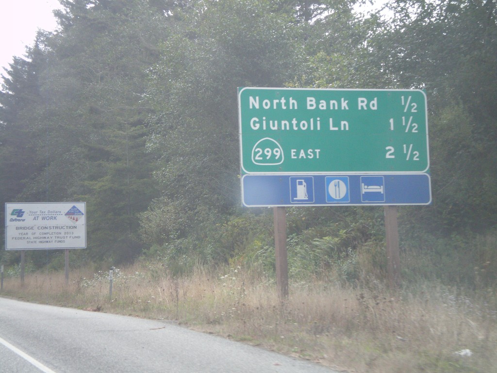
US-101 South - Arcata Exits
US-101 South - Arcata Exits. Next 3 exits: North Bank Road, Giuntoli Lane, CA-299 East.
Taken 09-25-2009
McKinleyville
Humboldt County
California
United States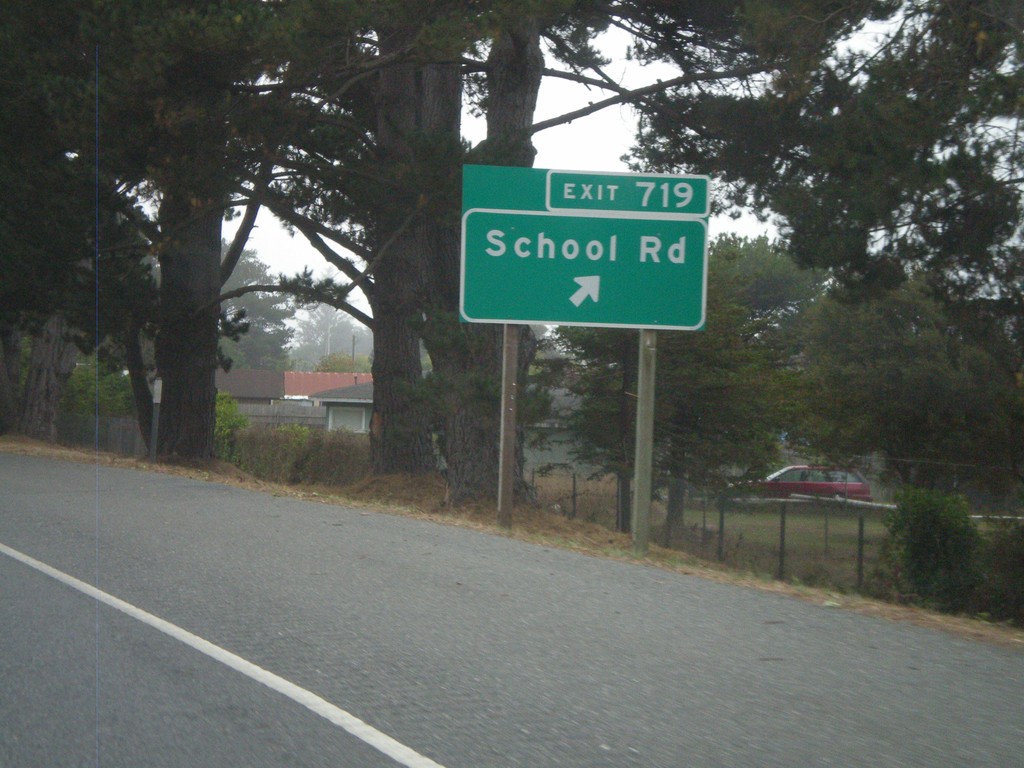
US-101 South - Exit 719
US-101 south Exit 719 - School Road
Taken 09-25-2009
McKinleyville
Humboldt County
California
United States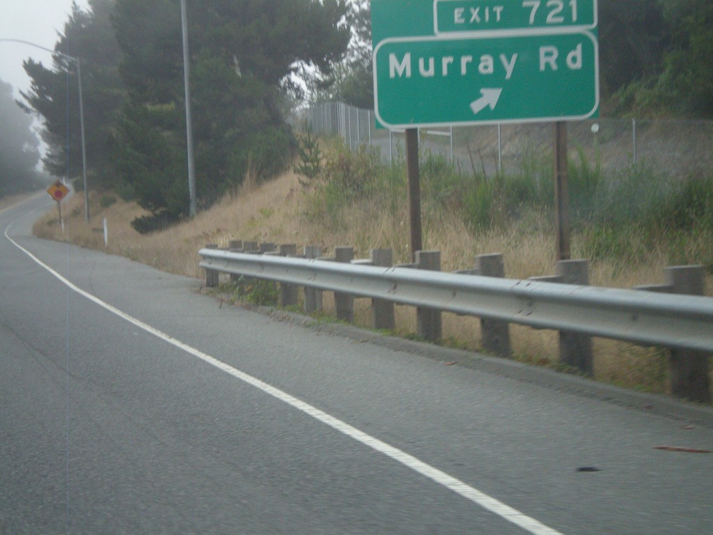
US-101 South - Exit 721
US-101 south Exit 721 - Murray Road
Taken 09-25-2009
McKinleyville
Humboldt County
California
United States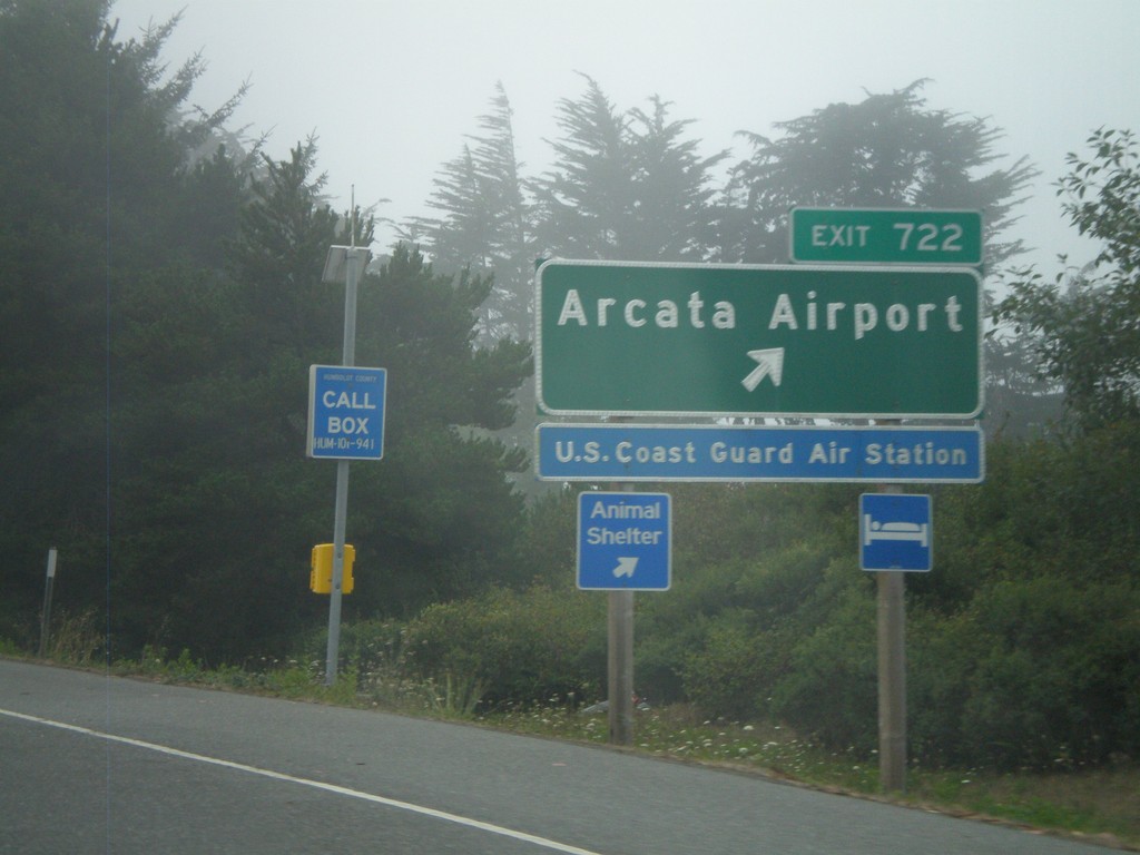
US-101 South - Exit 722
US-101 south Exit 722 - Arcata Airport
Taken 09-25-2009
McKinleyville
Humboldt County
California
United States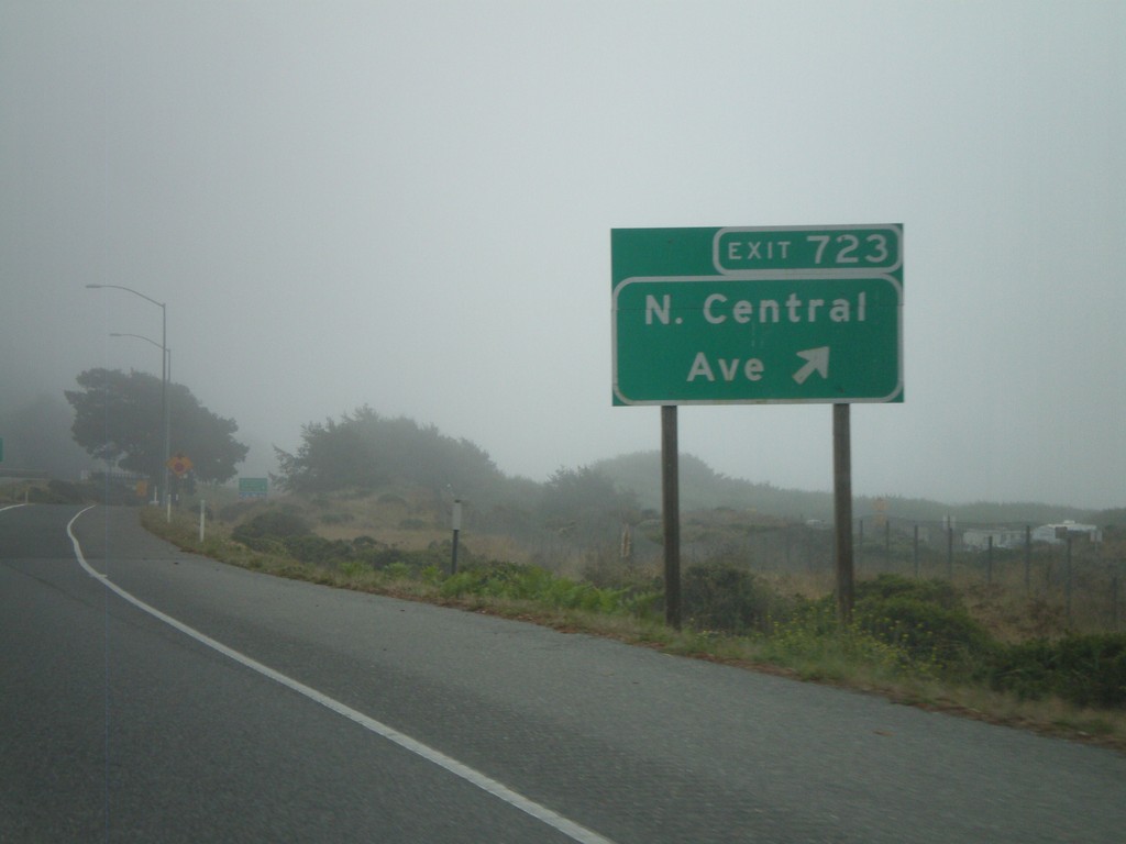
US-101 South - Exit 723
US-101 south Exit 723 - N. Central Ave.
Taken 09-25-2009
McKinleyville
Humboldt County
California
United States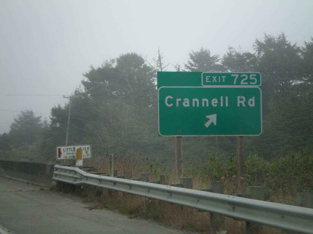
US-101 South - Exit 725
US-101 south Exit 725 - Crannell Road
Taken 09-25-2009
McKinleyville
Humboldt County
California
United States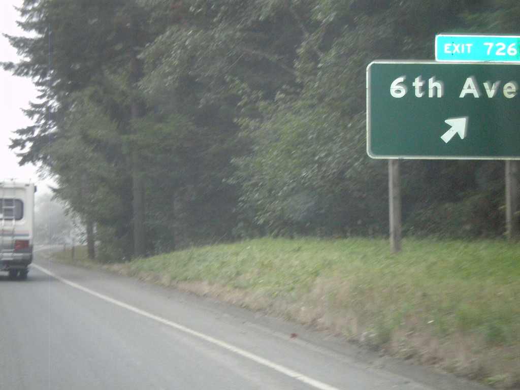
US-101 South - Exit 726
US-101 south Exit 726 - 6th Ave.
Taken 09-25-2009
Trinidad
Humboldt County
California
United States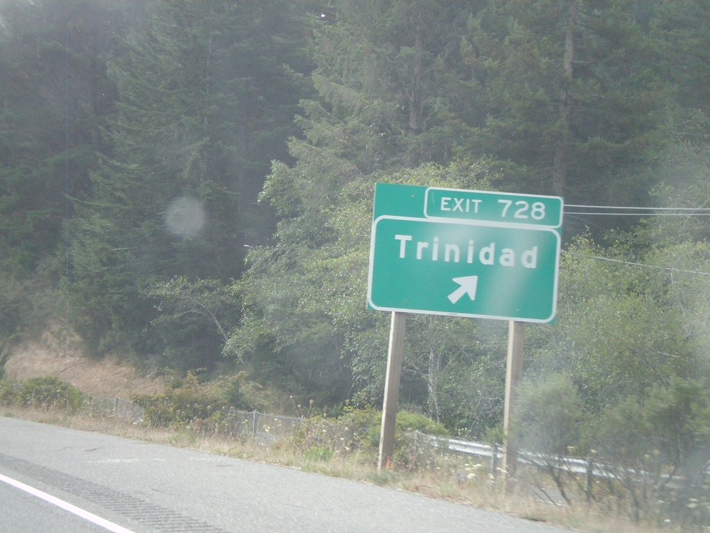
US-101 South - Exit 728
US-101 south Exit 728 - Trinidad
Taken 09-25-2009
Trinidad
Humboldt County
California
United States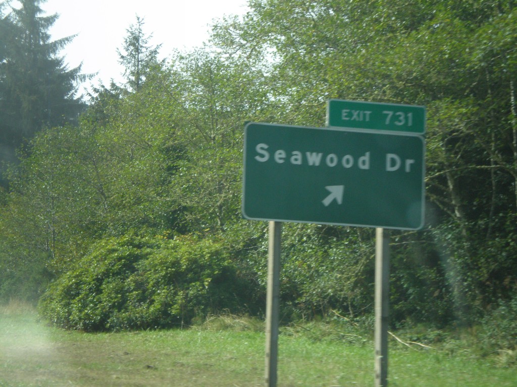
US-101 South - Exit 731
US-101 south Exit 731 -Seawood Drive
Taken 09-25-2009
Patricks Point
Humboldt County
California
United States