Signs Tagged With Big Green Sign
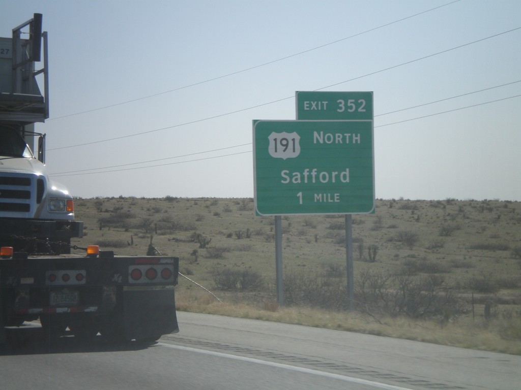
I-10 East Approaching Exit 352
I-10 east approaching Exit 352 - US-191 North/Safford. US-191 north leaves I-10 here.
Taken 03-21-2010

 Willcox
Cochise County
Arizona
United States
Willcox
Cochise County
Arizona
United States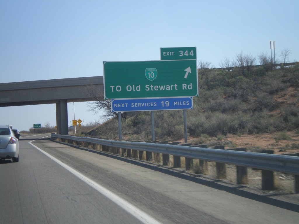
I-10 East - Exit 344
I-10 east at Exit 344 -BL-10/To Old Stewart Road
Taken 03-21-2010
 Willcox
Cochise County
Arizona
United States
Willcox
Cochise County
Arizona
United States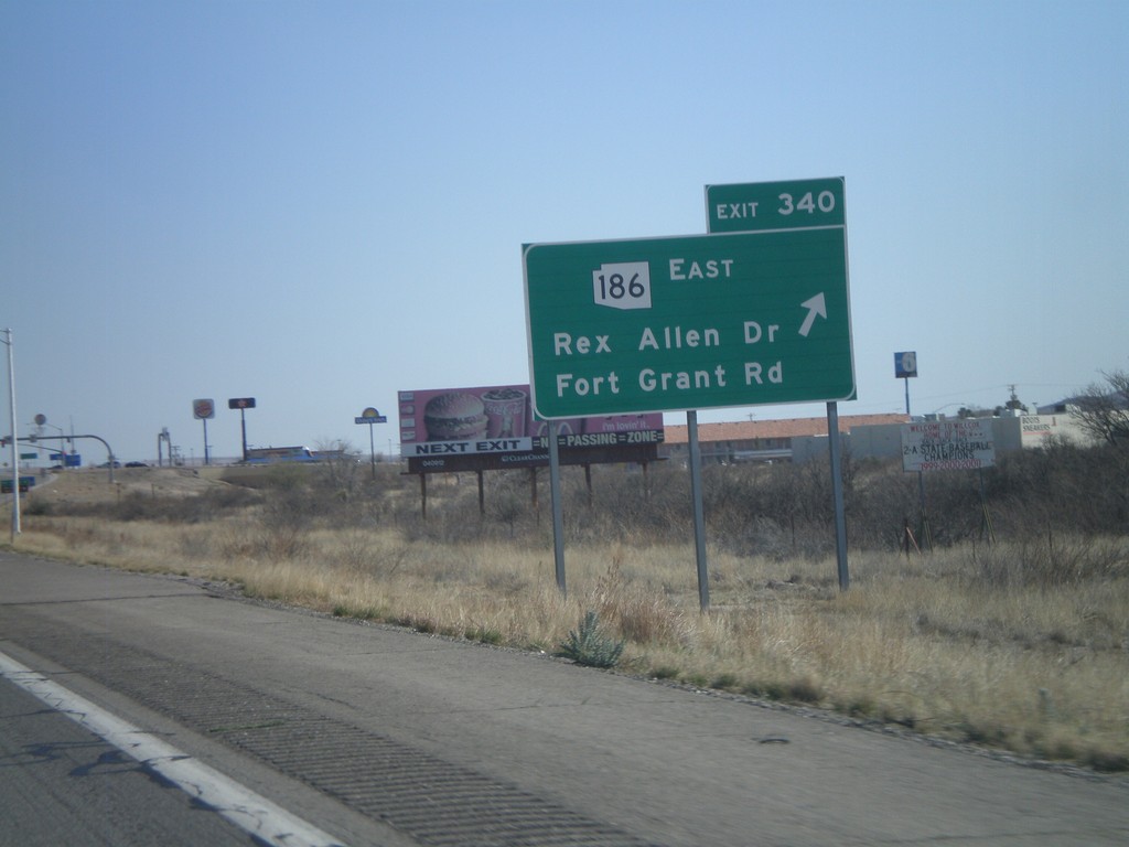
I-10 East - Exit 340
I-10 east at Exit 340 - AZ-186 East/Rex Allen Drive/Fort Grant Road.
Taken 03-21-2010
 Willcox
Cochise County
Arizona
United States
Willcox
Cochise County
Arizona
United States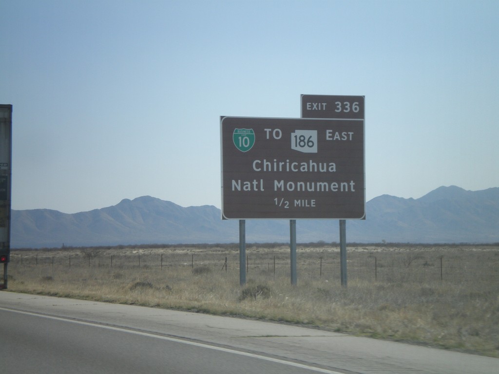
I-10 East Approaching Exit 336
I-10 east approaching Exit 336 - BL-10/To AZ-186 East/Chiricahua National Monument.
Taken 03-21-2010
Willcox
Cochise County
Arizona
United States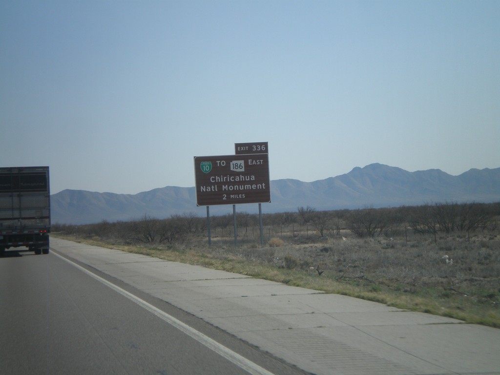
I-10 East Approaching Exit 336
I-10 east approaching Exit 336 - BL-10/To AZ-186 East/Chiricahua National Monument.
Taken 03-21-2010
Willcox
Cochise County
Arizona
United States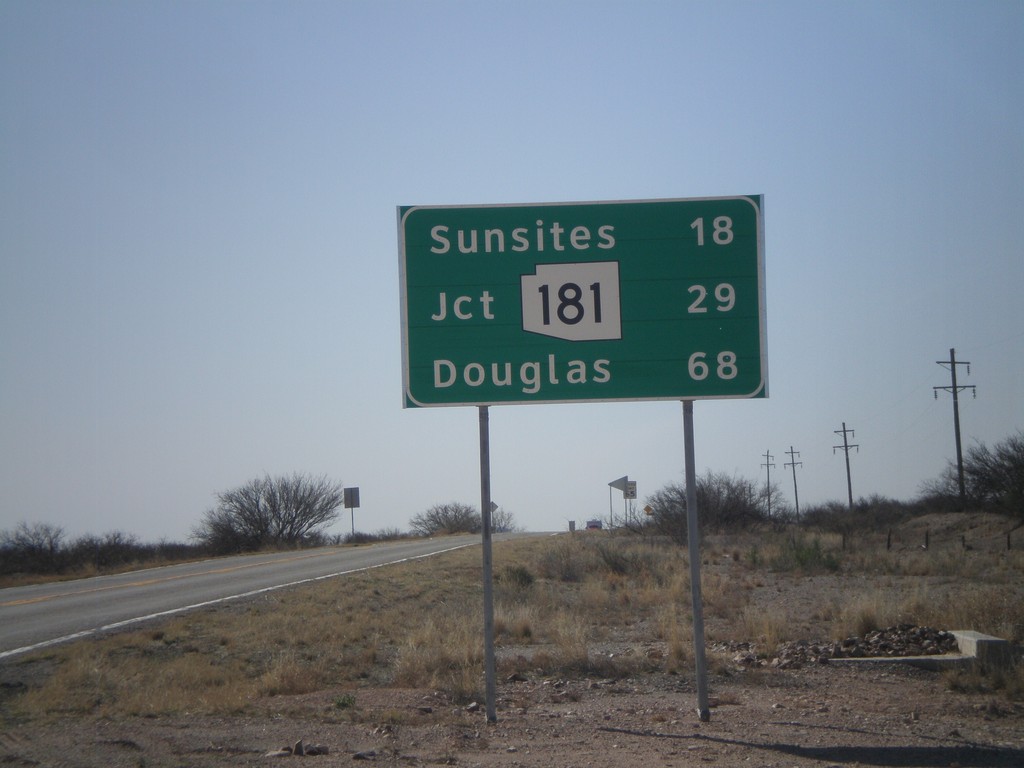
US-191 South - Distance Marker
Distance marker on US-191 south to Sunsites, AZ-181, and Douglas.
Taken 03-21-2010
Cochise
Cochise County
Arizona
United States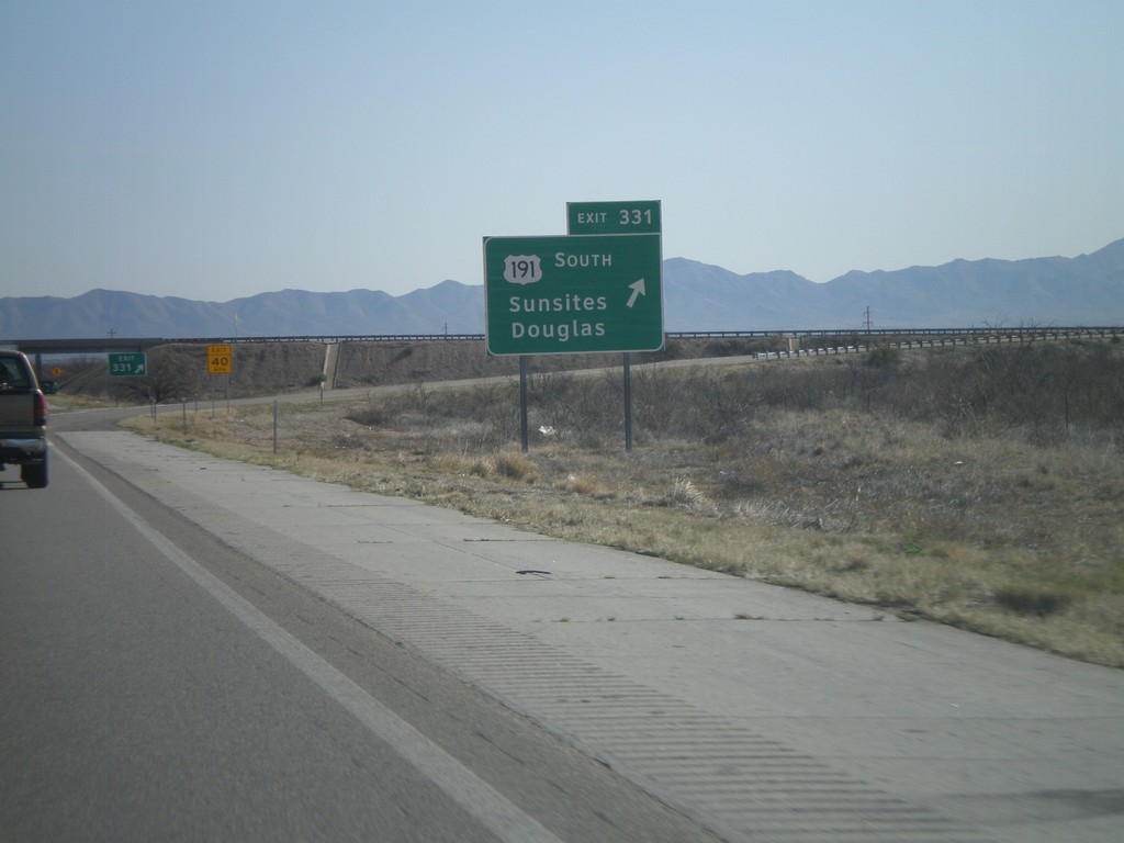
I-10 East - Exit 331
I-10 east at Exit 331 - US-191 South/Sunsites/Douglas. US-191 north joins I-10 eastbound.
Taken 03-21-2010
Willcox
Cochise County
Arizona
United States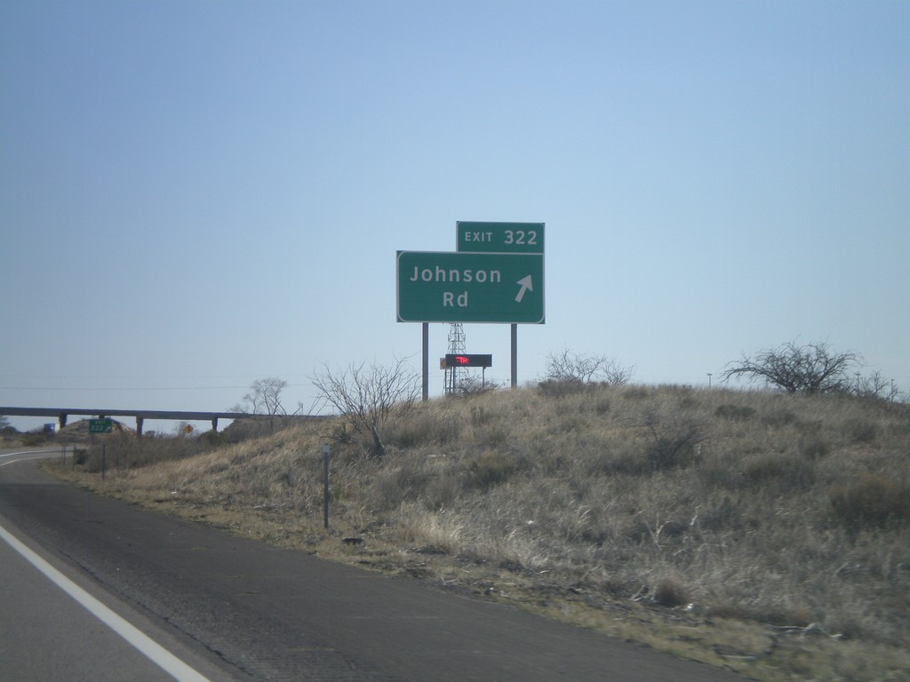
I-10 East - Exit 322
I-10 east at Exit 322 - Johnson Road
Taken 03-21-2010
Dragoon
Cochise County
Arizona
United States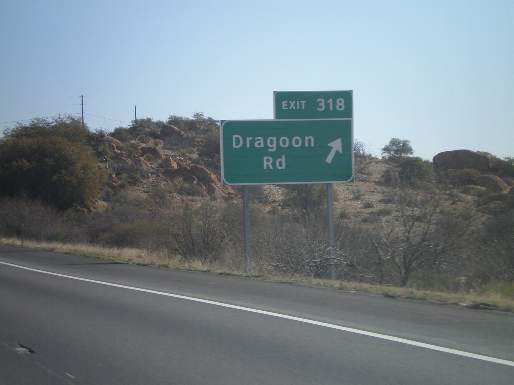
I-10 East - Exit 318
I-10 east at Exit 318 - Dragoon Road.
Taken 03-21-2010
Dragoon
Cochise County
Arizona
United States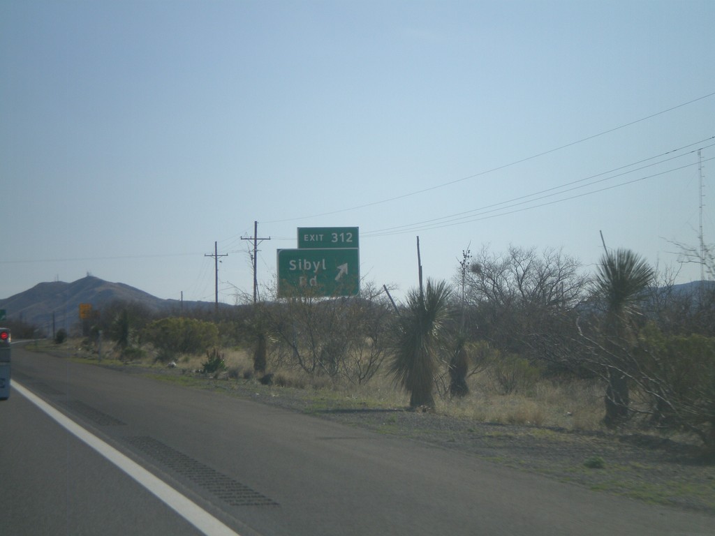
I-10 East - Exit 312
I-10 east at Exit 312 - Sibyl Road.
Taken 03-21-2010
Benson
Cochise County
Arizona
United States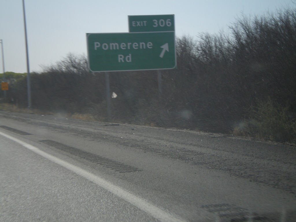
I-10 East - Exit 306
I-10 east at Exit 306 - Pomerene Road. This is the eastern end of the Benson Business Loop.
Taken 03-21-2010
Benson
Cochise County
Arizona
United States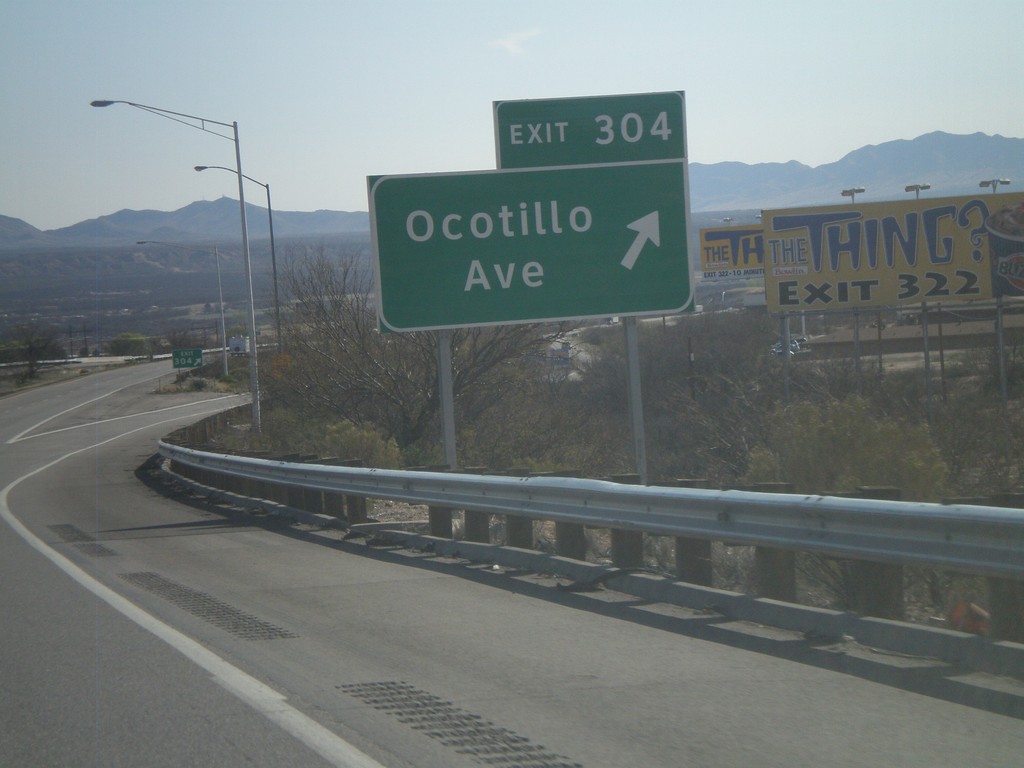
I-10 East - Exit 304
I-10 east at Exit 304 - Ocotillo Ave.
Taken 03-21-2010
Benson
Cochise County
Arizona
United States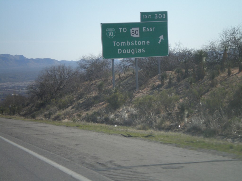
I-10 East - Exit 303
I-10 east at Exit 303 - BL-10/To AZ-80 East/Tombstone/Douglas.
Taken 03-21-2010
 Benson
Cochise County
Arizona
United States
Benson
Cochise County
Arizona
United States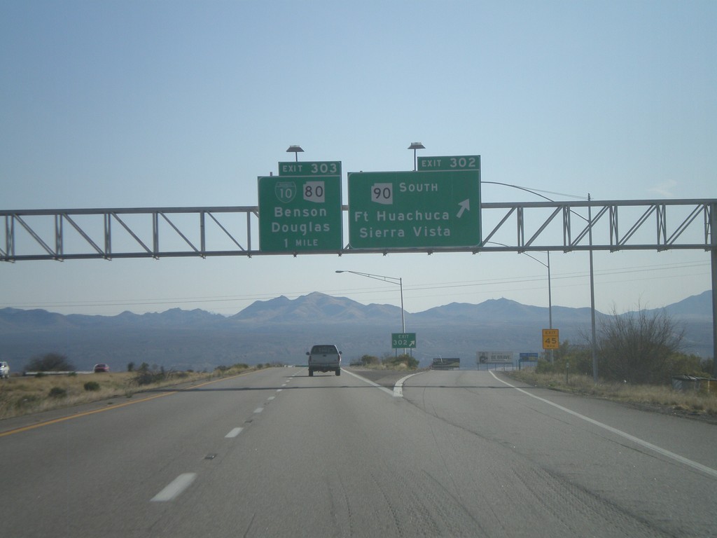
I-10 East - Exits 302 and 303
I-10 east at Exit 302 - AZ-90 South/Fort Huachuca/Sierra Vista. Approaching Exit 303 - BL-10/AZ-80/Benson/Douglas.
Taken 03-21-2010
 Benson
Cochise County
Arizona
United States
Benson
Cochise County
Arizona
United States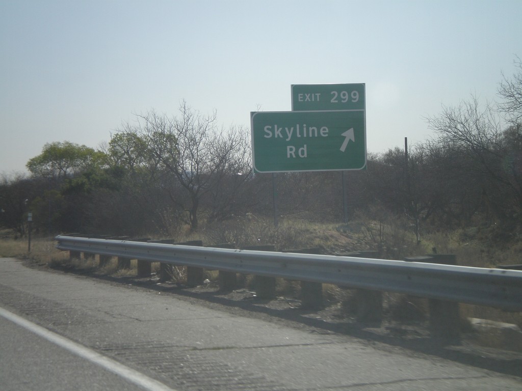
I-10 East - Exit 299
I-10 east at Exit 299 - Skyline Road
Taken 03-21-2010
Benson
Cochise County
Arizona
United States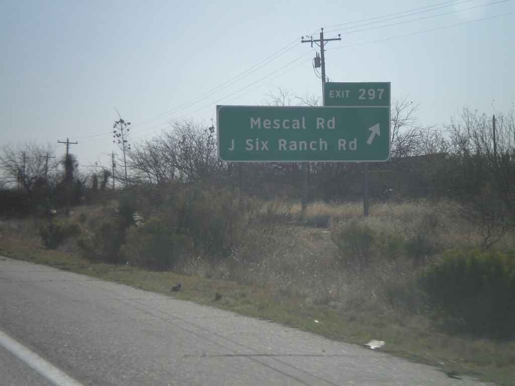
I-10 East - Exit 297
I-10 east at Exit 297 - Mescal Road/J Six Ranch Road.
Taken 03-21-2010
Benson
Cochise County
Arizona
United States
I-10 East - Entering Cochise County
Entering Cochise County on I-10 east at the Pima-Cochise County Line.
Taken 03-21-2010
Benson
Cochise County
Arizona
United States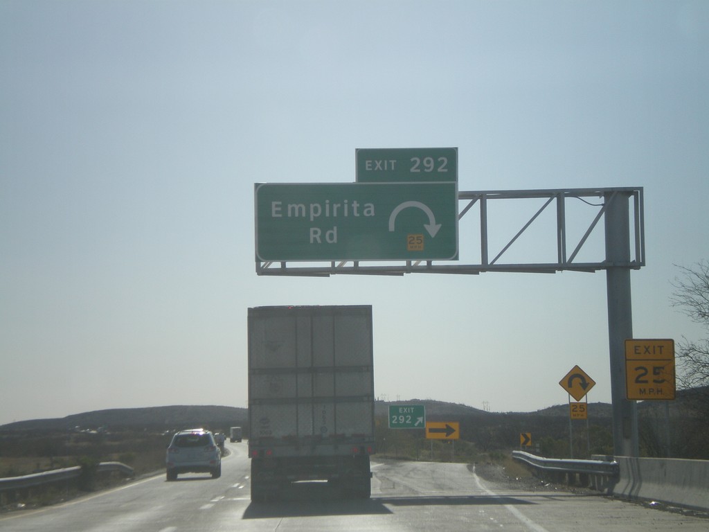
I-10 East - Exit 292
I-10 east at Exit 292 - Empirita Road.
Taken 03-21-2010
Pimaco Two
Pima County
Arizona
United States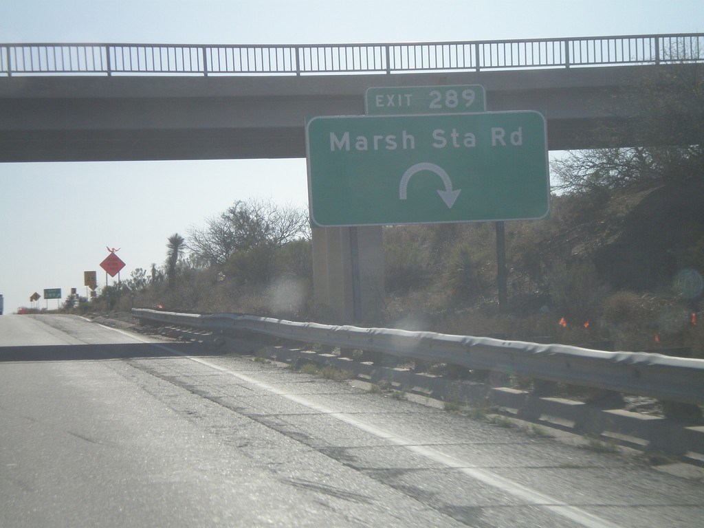
I-10 East - Exit 289
I-10 east at Exit 289 - March Station Road.
Taken 03-21-2010
Vail
Pima County
Arizona
United States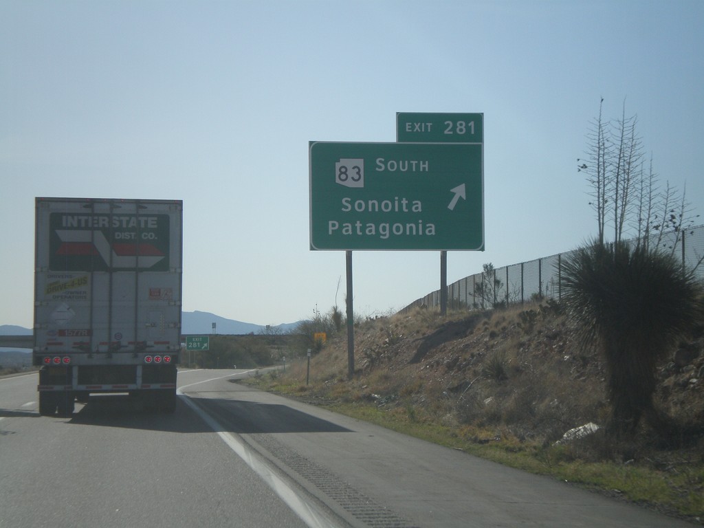
I-10 East - Exit 281
I-10 east at Exit 281 - AZ-83 South/Sonoita/Patagonia.
Taken 03-21-2010
 Vail
Pima County
Arizona
United States
Vail
Pima County
Arizona
United States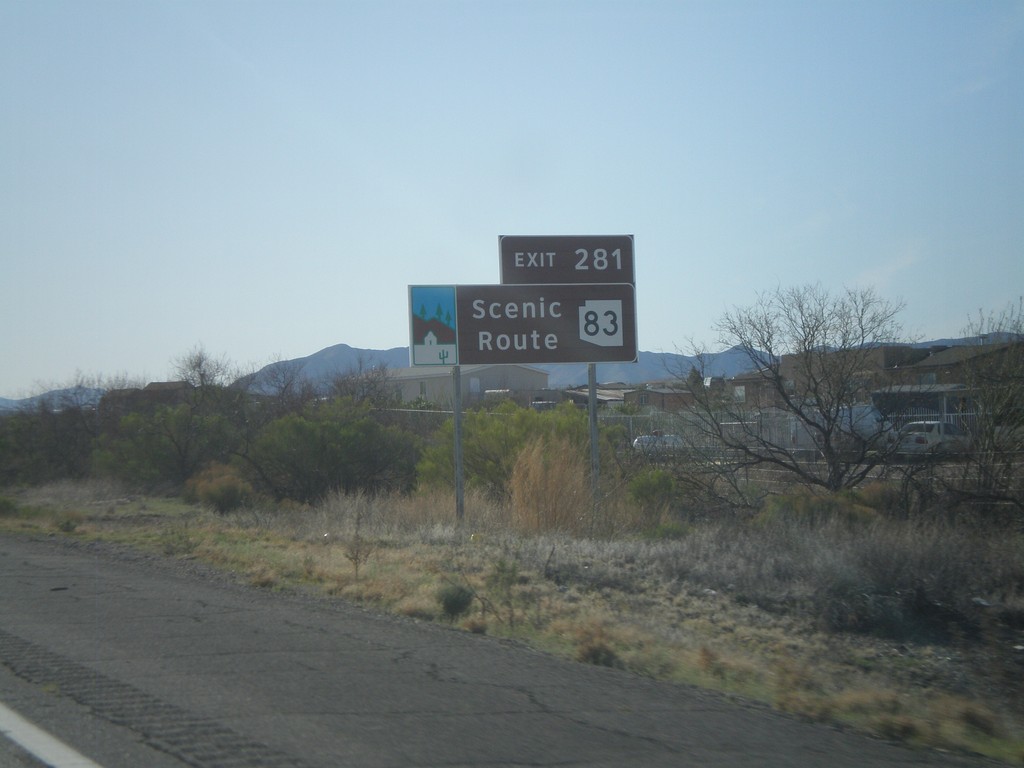
I-10 East Approaching Exit 281
I-10 east approaching Exit 281 - AZ-83. AZ-83 is an Arizona Scenic Byway.
Taken 03-21-2010
Vail
Pima County
Arizona
United States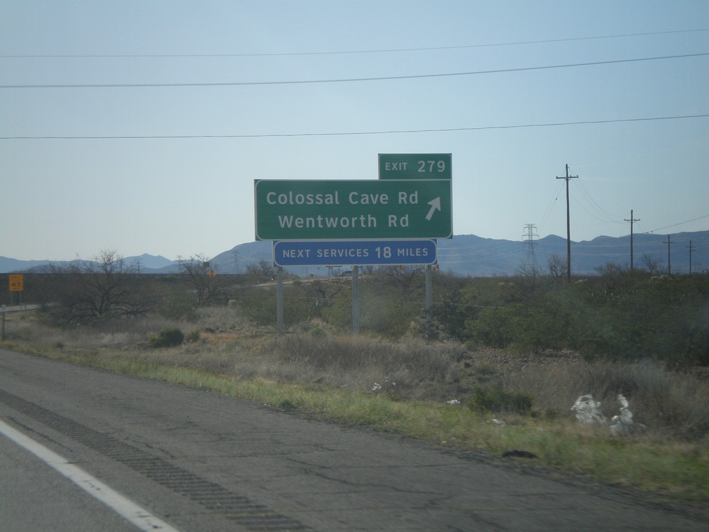
I-10 East - Exit 279
I-10 east at Exit 279 - Colossal Cave Road/Wentworth Road.
Taken 03-21-2010
Vail
Pima County
Arizona
United States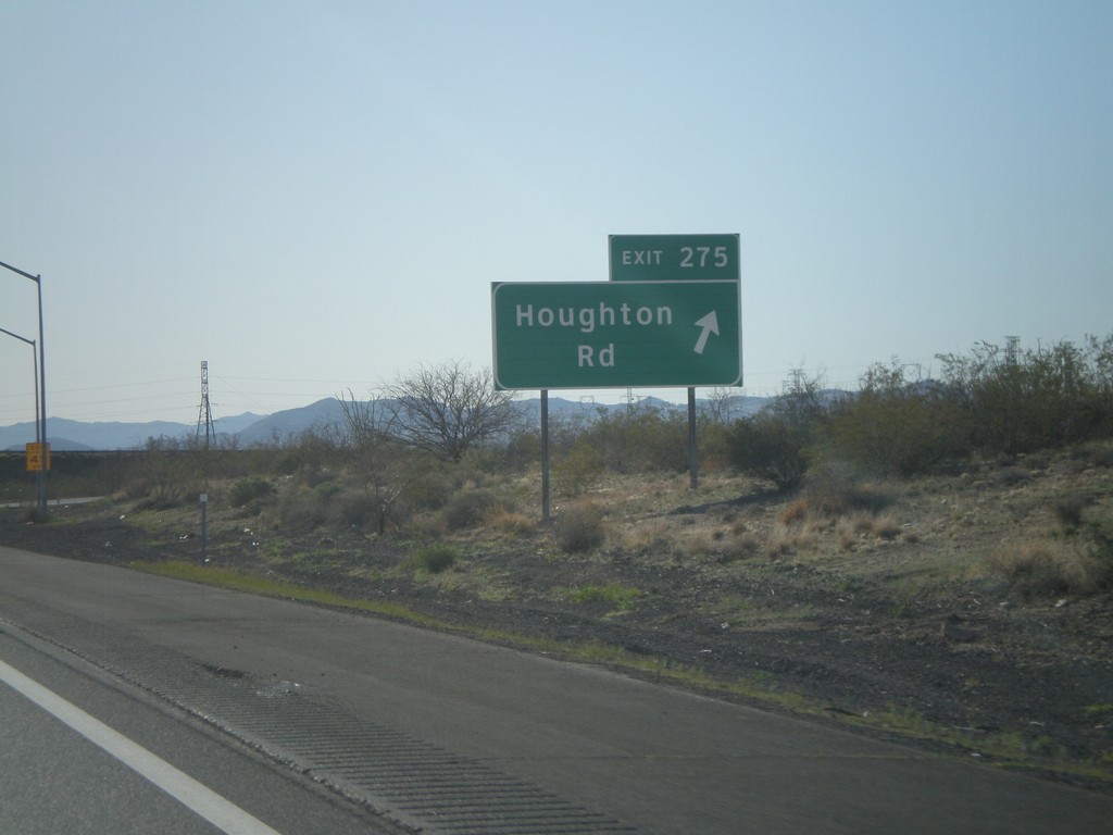
I-10 East - Exit 275
I-10 east at Exit 275 - Houghton Road.
Taken 03-21-2010
Tucson
Pima County
Arizona
United States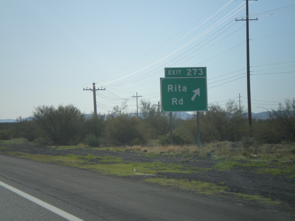
I-10 East - Exit 273
I-10 east at Exit 273 - Rita Road.
Taken 03-21-2010
Tucson
Pima County
Arizona
United States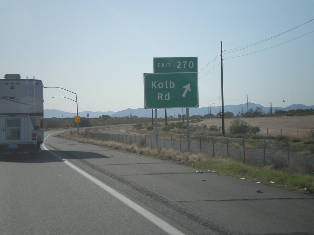
I-10 East - Exit 270
I-10 east at Exit 270 - Kolb Road.
Taken 03-21-2010
Tucson
Pima County
Arizona
United States