Signs Tagged With Big Green Sign
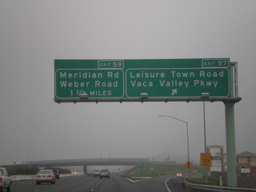
I-80 East - Exit 57 Approaching Exit 59
I-80 east at Exit 57 - Leisure Town Road/Vaca Valley Parkway. Approaching Exit 59 - Meridian Road/Weber Road
Taken 01-01-2009
 Vacaville
Solano County
California
United States
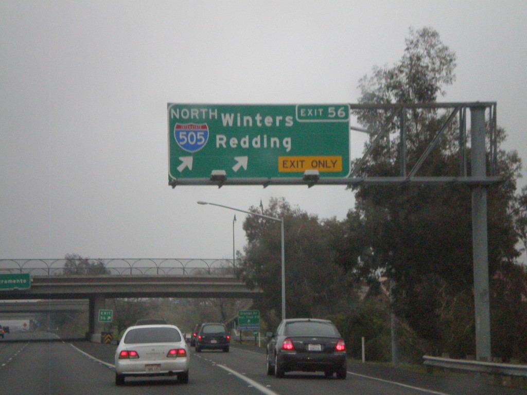
I-80 East - Exit 56
I-80 east at Exit 56 - I-505 North/Winters Redding
Taken 01-01-2009

 Vacaville
Solano County
California
United States
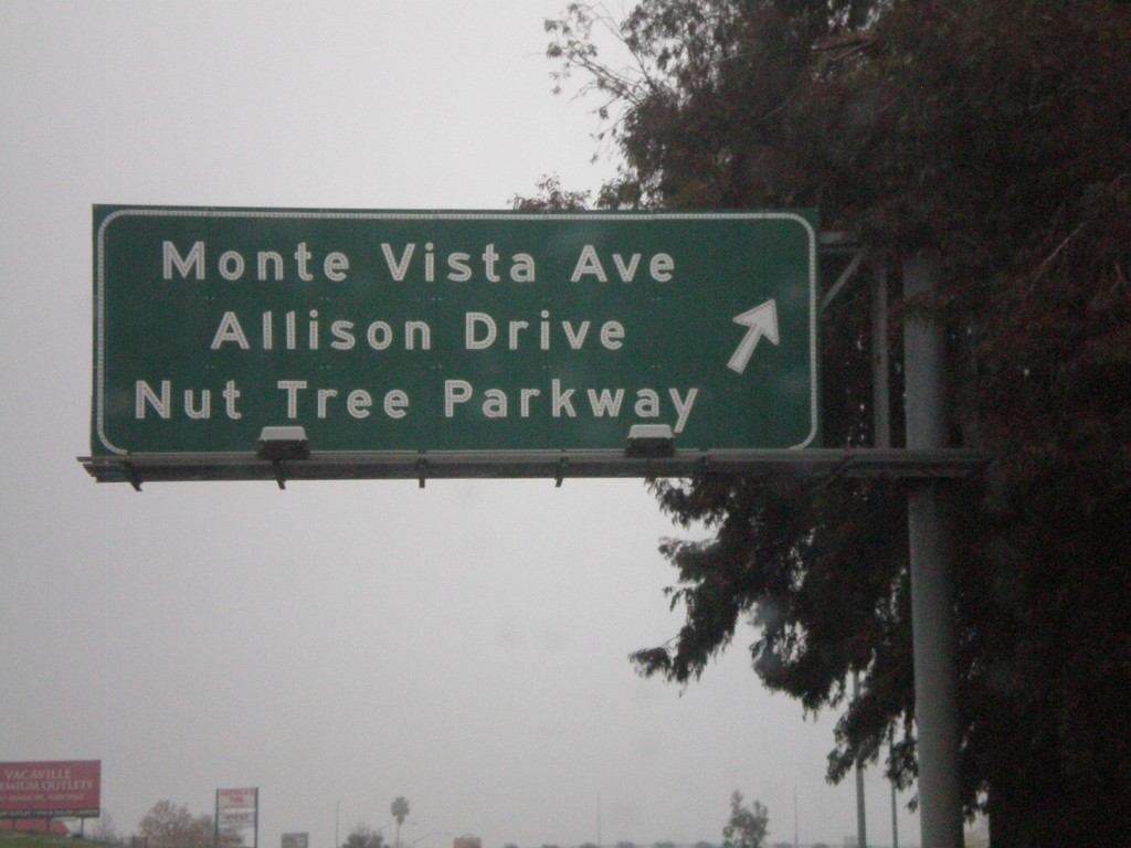
I-80 East - Exit 55
I-80 east at Exit 55 - Monte Vista Ave./Allison Drive/Nut Tree Parkway.
Taken 01-01-2009
 Vacaville
Solano County
California
United States
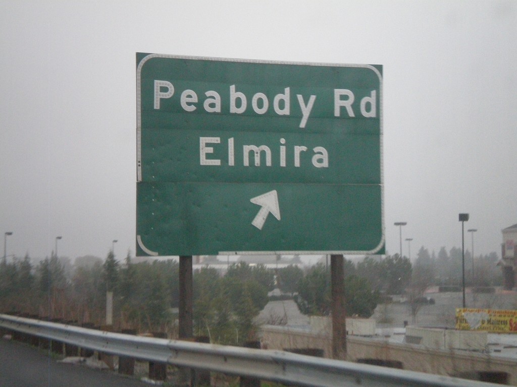
I-80 East Exit 54B
I-80 east at Exit 54B - Peabody Road/Elmira
Taken 01-01-2009
 Vacaville
Solano County
California
United States
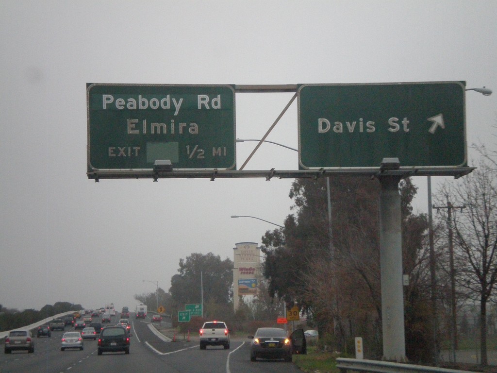
I-80 East - Exit 54A and Exit 54B
I-80 east at Exit 54A - Davis St. Approaching Exit 54B - Peabody Road/Elmira
Taken 01-01-2009
 Vacaville
Solano County
California
United States
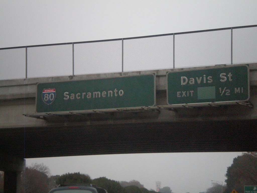
I-80 East - Exit 54A
I-80 east approaching Exit 54A - Davis St. Sign for I-80 to Sacramento.
Taken 01-01-2009
 Vacaville
Solano County
California
United States
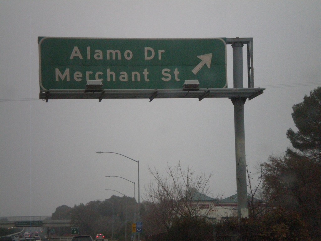
I-80 East Exit 53
I-80 east at Exit 53 - Alamo Drive/Merchant St.
Taken 01-01-2009
 Vacaville
Solano County
California
United States
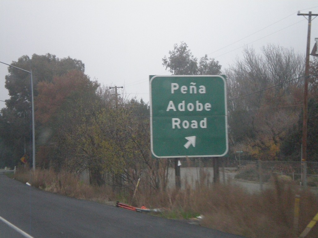
I-80 East - Exit 51B
I-80 east at Exit 51B - Pena Adobe Road.
Taken 01-01-2009
 Vacaville
Solano County
California
United States
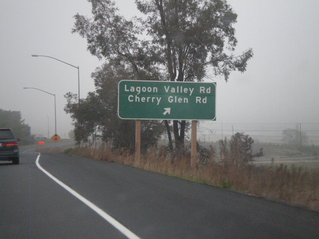
I-80 East - Exit 51A
I-80 east at Exit 51A - Lagoon Valley Road/Cherry Glen Road.
Taken 01-01-2009
 Vacaville
Solano County
California
United States
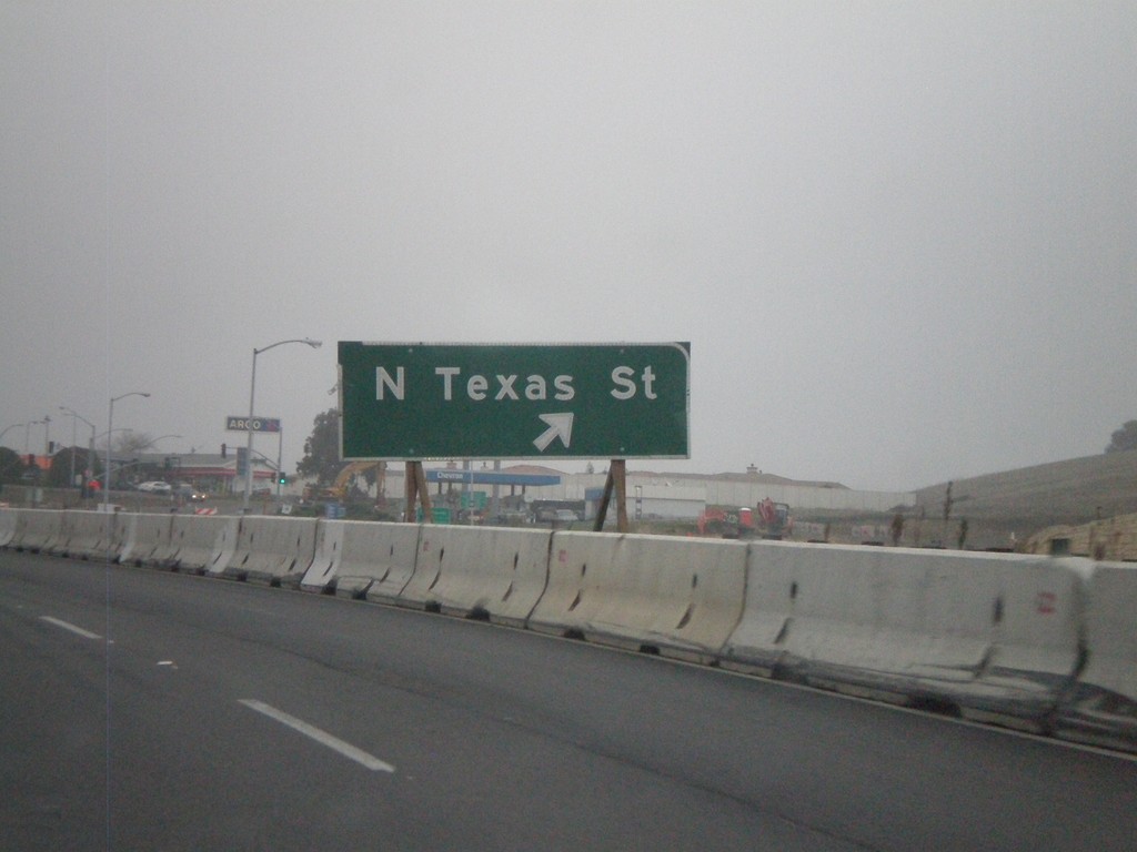
I-80 East - Exit 48
I-80 east at Exit 48 - N. Texas St.
Taken 01-01-2009
 Fairfield
Solano County
California
United States
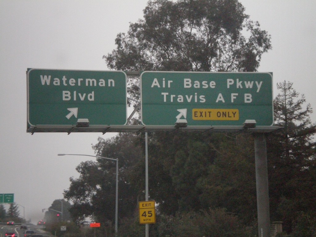
I-80 East - Exit 47A and Exit 47B
I-680 north at Exit 47A - Air Base Parkway/Travis AFB. Approaching Exit 47B - Waterman Blvd.
Taken 01-01-2009
 Fairfield
Solano County
California
United States
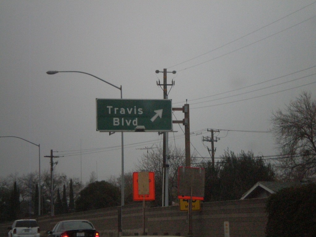
I-80 East - Exit 45
I-80 east at Exit 45 - Travis Blvd.
Taken 01-01-2009
 Fairfield
Solano County
California
United States
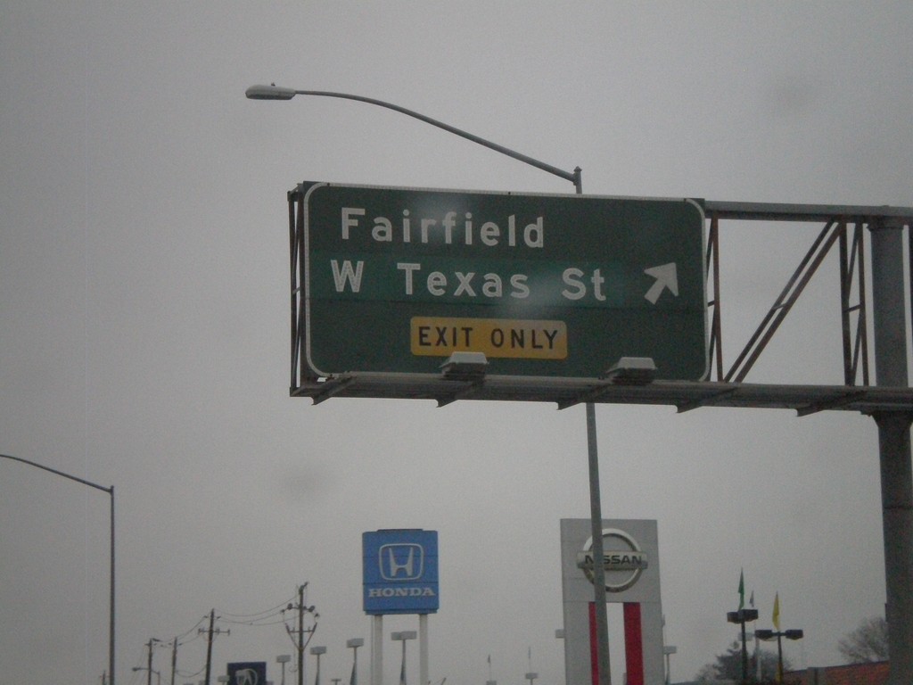
I-80 East - Exit 44B
I-80 east at Exit 44B - Fairfield/West Texas St.
Taken 01-01-2009
 Fairfield
Solano County
California
United States
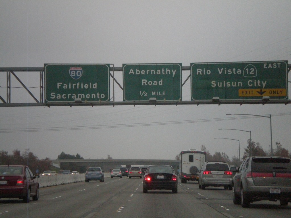
I-80 East - Exit 43 and Exit 44A
I-80 east at Exit 43 - CA-12 East/Rio Vista/Suisun City. Approaching Exit 44A - Abernathy Road. I-80 continues east to Fairfield and Sacramento.
Taken 01-01-2009

 Suisun City
Solano County
California
United States
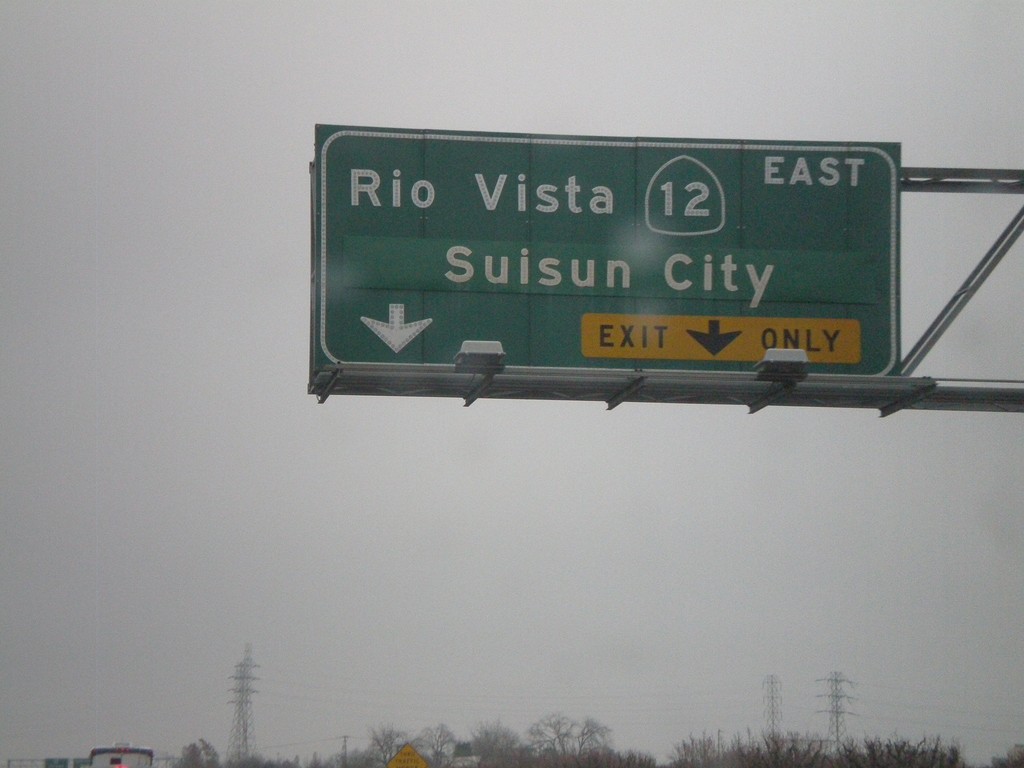
I-80 East Approaching Exit 43
I-80 east approaching Exit 43 - CA-12 East/Rio Vista/Suisun City.
Taken 01-01-2009

 Fairfield
Solano County
California
United States
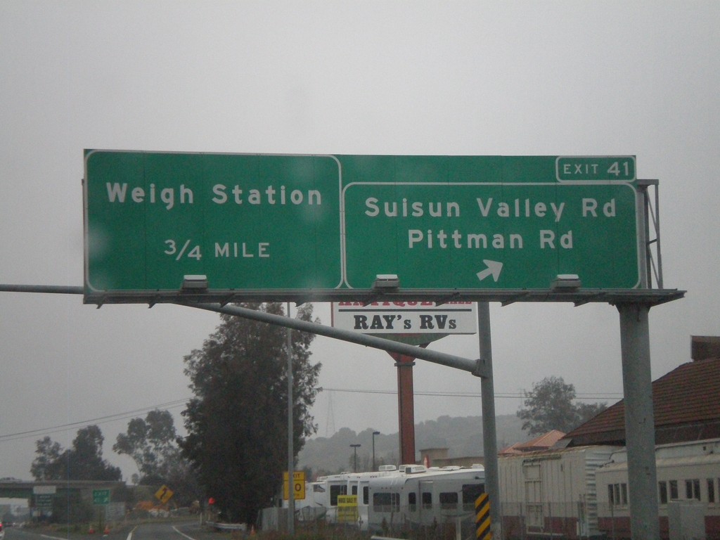
I-80 East - Exit 41
I-80 east at Exit 41 - Suisun Valley Road/Pittman Road. Approaching (Cordelia) Weigh Station.
Taken 01-01-2009

 Fairfield
Solano County
California
United States
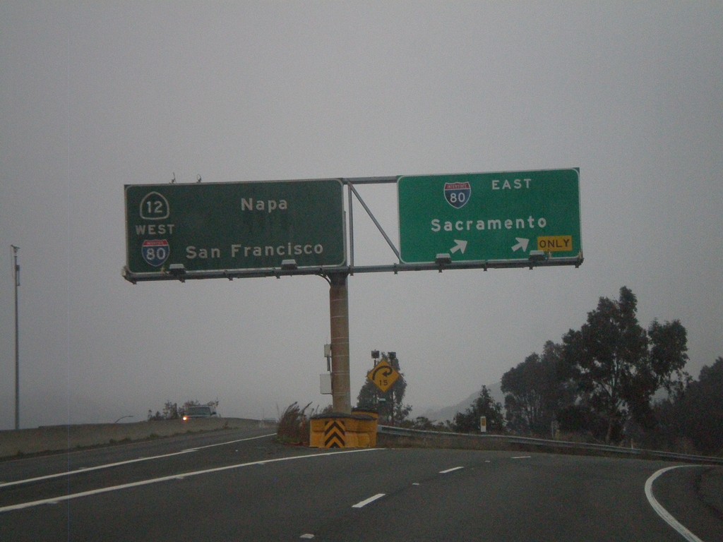
End I-680 North at I-80
End I-680 north at I-80. I-80 heads east to Sacramento. I-80/CA-12 heads west to Napa and San Francisco.
Taken 01-01-2009


 Fairfield
Solano County
California
United States
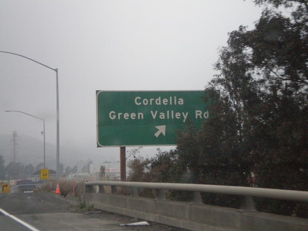
I-680 North - Exit 70
I-680 north at Exit 70 - Cordelia/Green Valley Road.
Taken 01-01-2009
 Fairfield
Solano County
California
United States
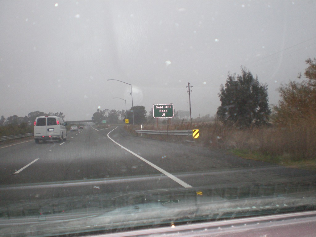
I-680 North - Exit 68
I-680 north at Exit 68 - Gold Hill Road.
Taken 01-01-2009
 Fairfield
Solano County
California
United States
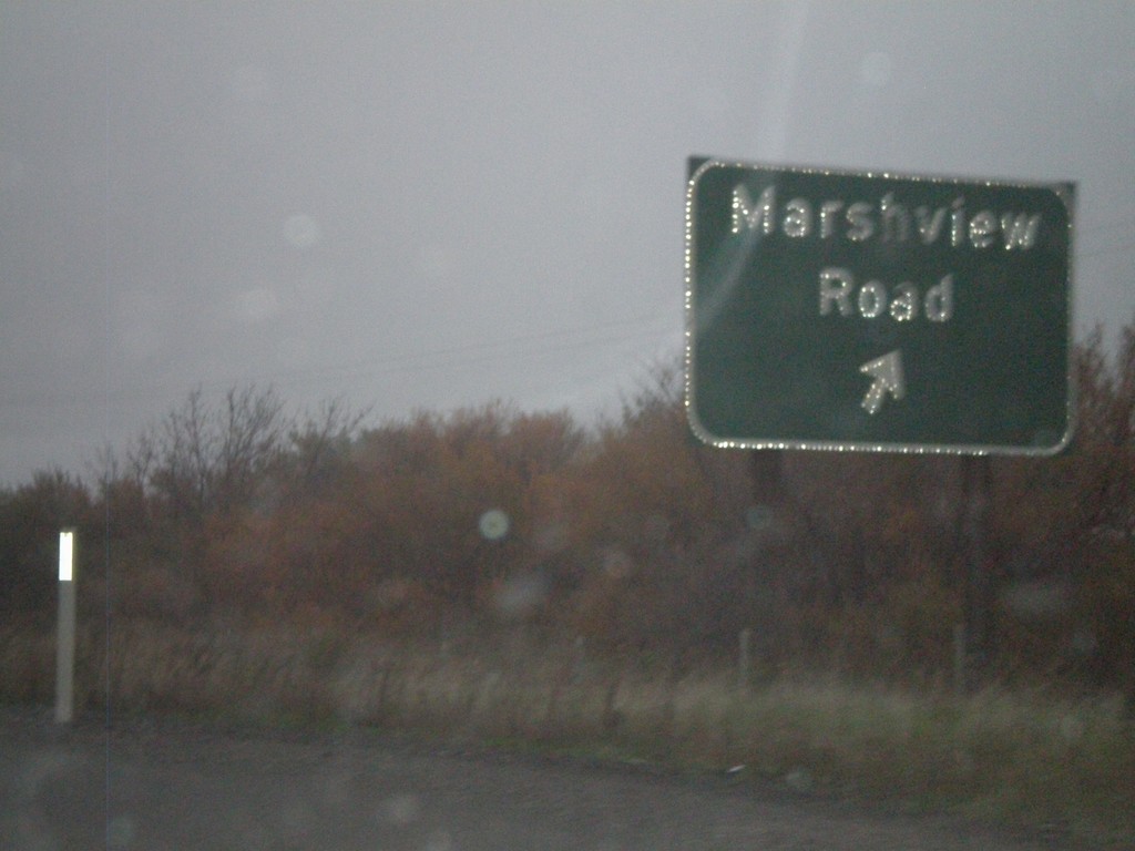
I-680 North - Exit 65
I-680 north at Exit 65 - Marshview Road.
Taken 01-01-2009
 Fairfield
Solano County
California
United States
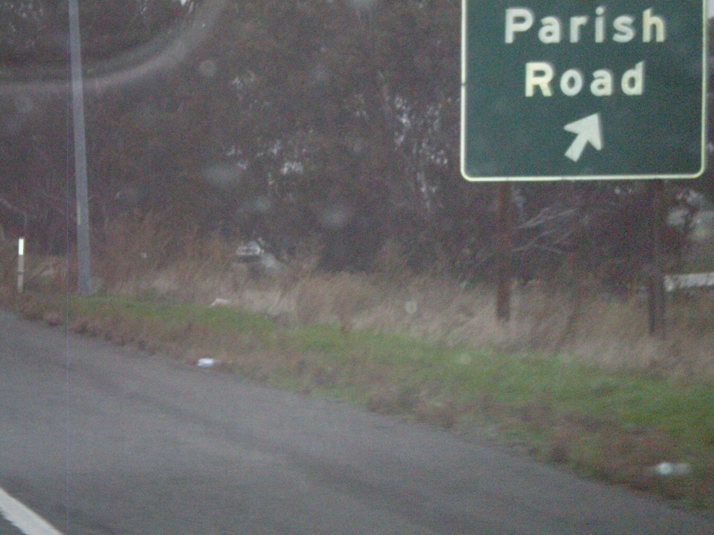
I-680 North - Exit 63
I-680 north at Exit 63 - Parish Road.
Taken 01-01-2009
 Benicia
Solano County
California
United States
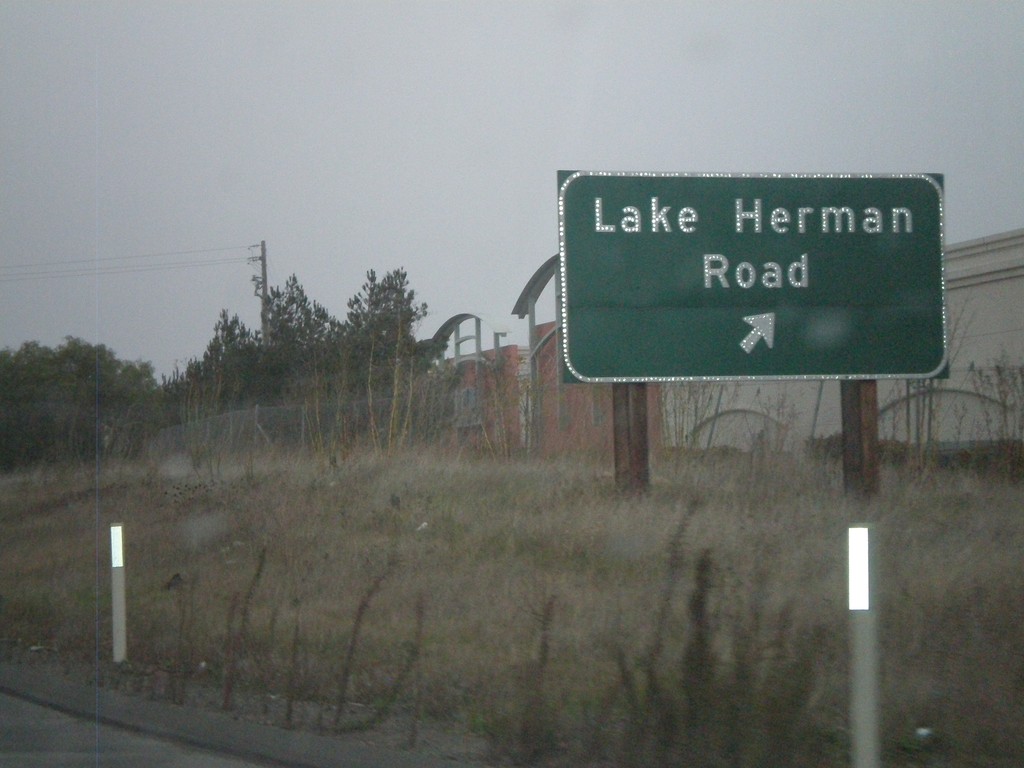
I-680 North - Exit 61
I-680 north at Exit 61 - Lake Herman Road
Taken 01-01-2009
 Benicia
Solano County
California
United States
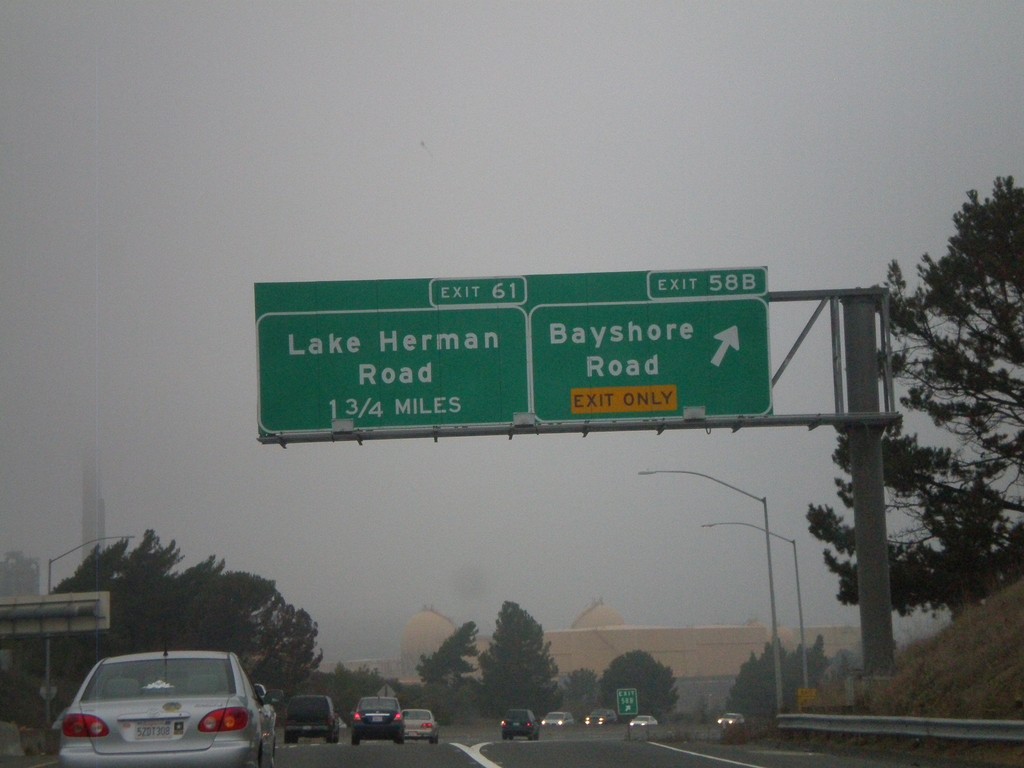
I-680 North - Exit 58B and Exit 61
I-680 north at Exit 58B - Bayshore Road. Approaching Exit 61 - Lake Herman Road.
Taken 01-01-2009
 Benicia
Solano County
California
United States
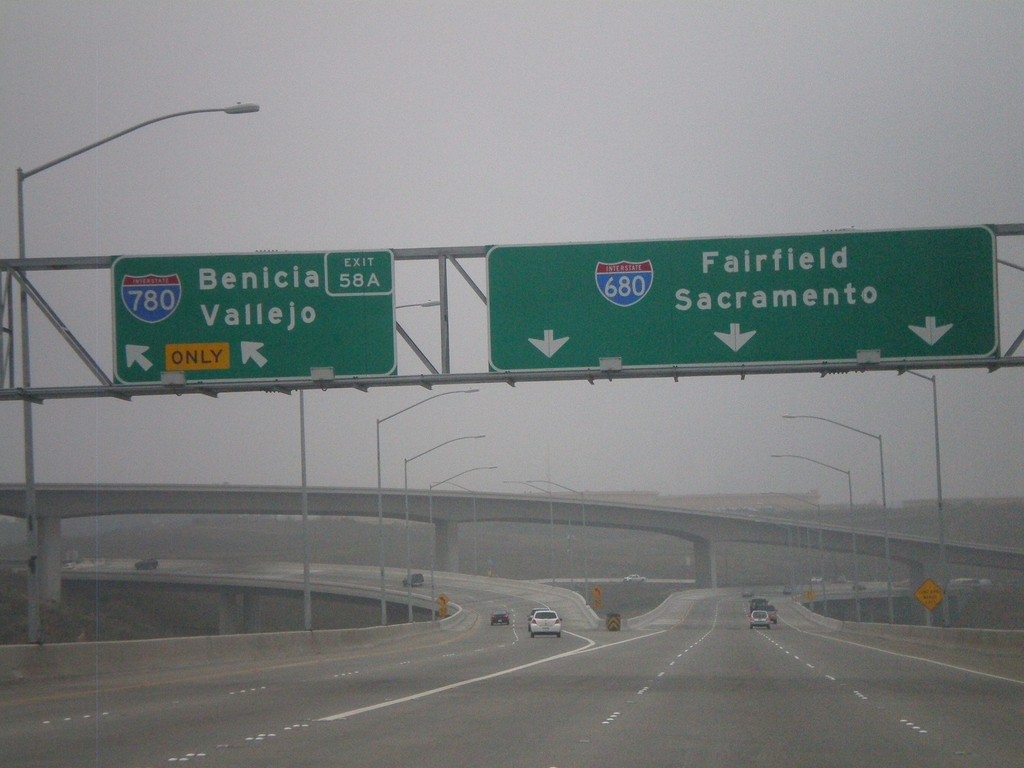
I-680 North - Exit 58A
I-680 north at Exit 58A - I-780/Benicia/Vallejo. I-680 continues north to Fairfield and Sacramento. This is at the northern end of the Benicia-Martinez Bridge.
Taken 01-01-2009

 Benicia
Solano County
California
United States
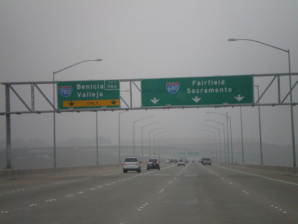
I-680 North - Approaching Exit 58A
I-680 north approaching Exit 58A - I-780/Benicia/Vallejo. I-680 continues north to Fairfield and Sacramento. This exit is on the northern end of the Benicia-Martinez Bridge.
Taken 01-01-2009

 Benicia
Solano County
California
United States