Signs Tagged With Big Green Sign
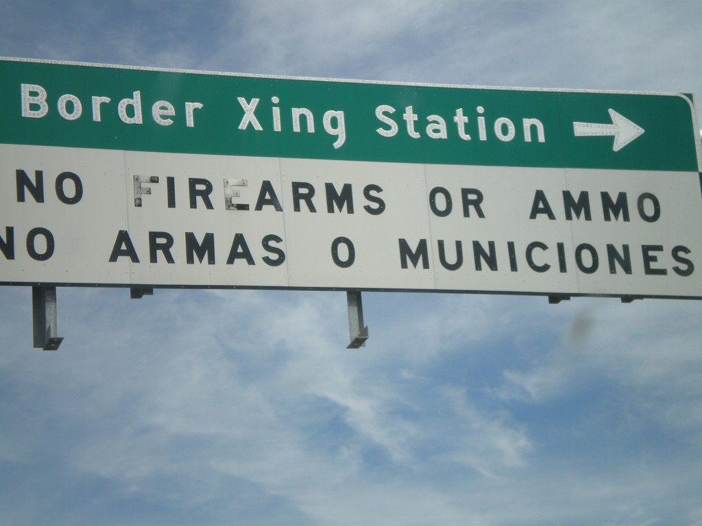
I-19 at Crawford St. - Border Crossing Station
I-19 at Crawford St. Turn left on Crawford St. for the Border Crossing Station. There is a bilingual warning about bringing firearms and ammunition into Mexico.
Taken 03-22-2009
 Nogales
Santa Cruz County
Arizona
United States
Nogales
Santa Cruz County
Arizona
United States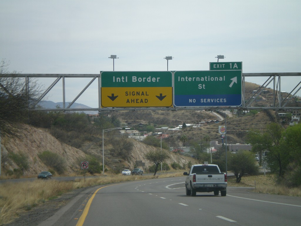
I-19 South - Exit 1A
I-19 south at Exit 1A - International St. I-19 continues towards the International Border with Mexico.
Taken 03-22-2009
Nogales
Santa Cruz County
Arizona
United States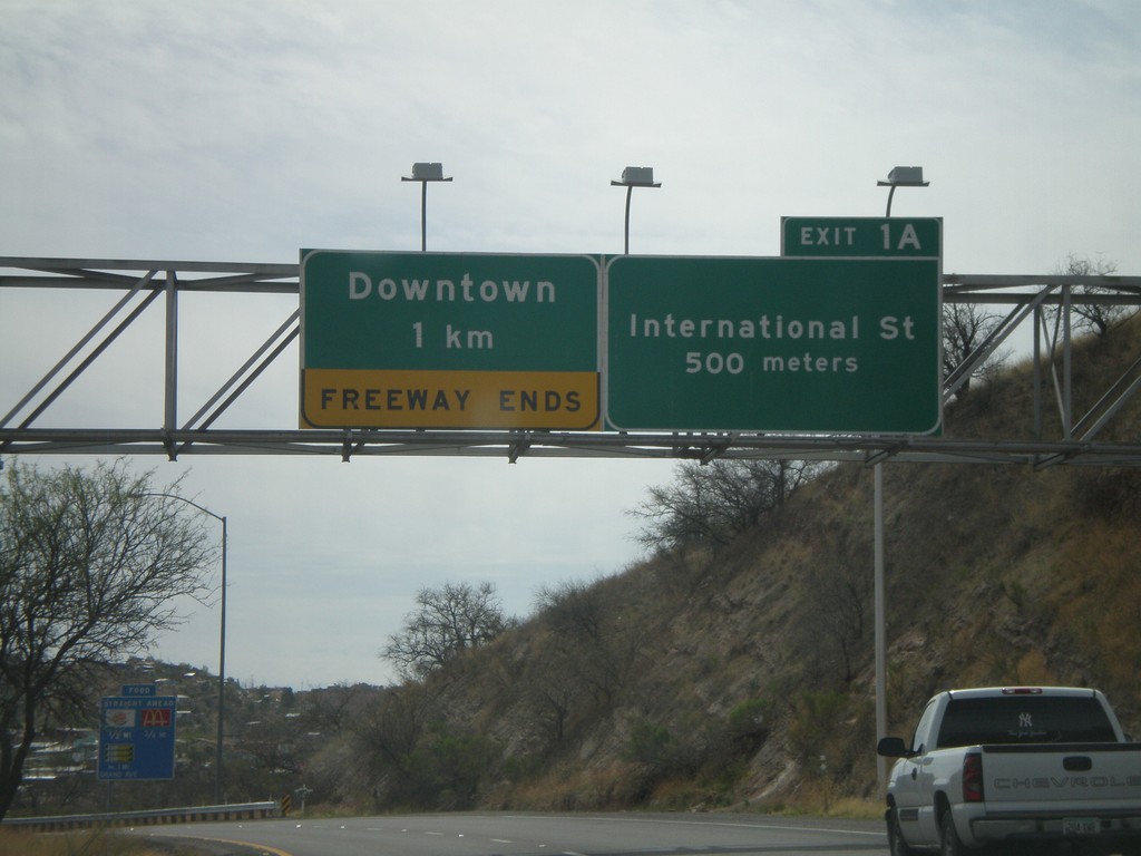
I-19 South Approaching Exit 1A
I-19 south approaching Exit 1A - International St. Freeway ends after Exit 1A in Downtown Nogales.
Taken 03-22-2009
Nogales
Santa Cruz County
Arizona
United States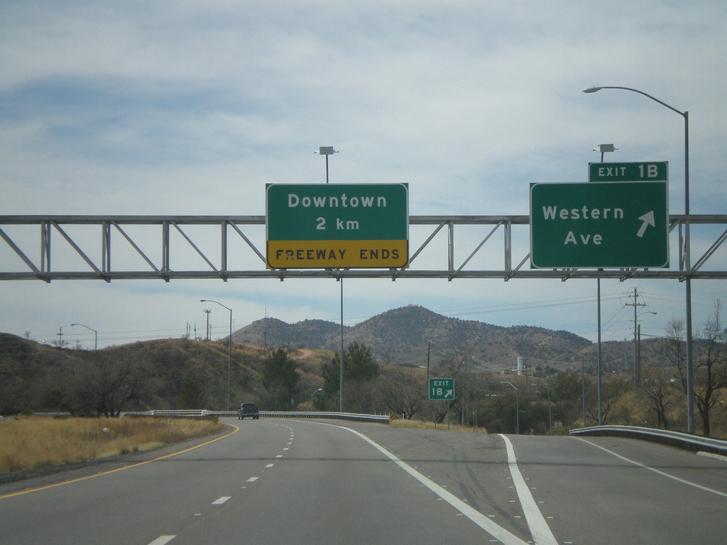
I-19 South - Exit 1B
I-19 south at Exit 1B - Western Ave. I-19 continues south towards downtown Nogales.
Taken 03-22-2009
Nogales
Santa Cruz County
Arizona
United States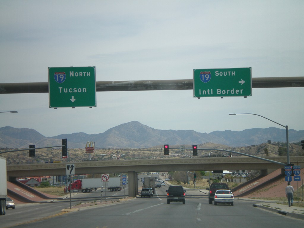
AZ-189 North Approaching I-19
AZ-189 north approaching I-19. Use I-19 south for the International Border. Use I-19 north for Tucson.
Taken 03-22-2009
 Nogales
Santa Cruz County
Arizona
United States
Nogales
Santa Cruz County
Arizona
United States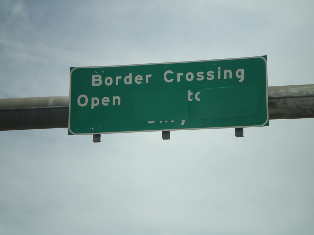
Border Corssing Status on AZ-189 South
Border crossing status on AZ-189 south for the truck border crossing. The port is currently open.
Taken 03-22-2009
Nogales
Santa Cruz County
Arizona
United States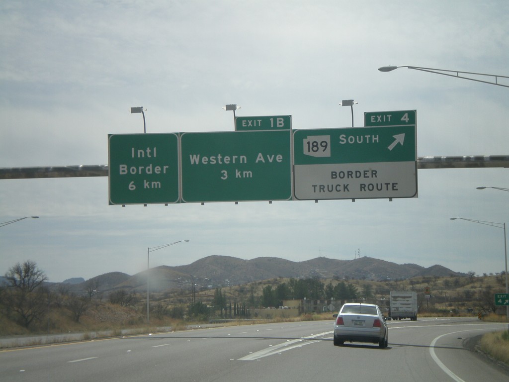
I-19 South - Exit 4 and Exit 1B
I-19 south at Exit 4 - AZ-189 South/Border Truck Route. Approaching Exit 1B - Western Ave. The international border with Mexico is 6 km to the south via I-19.
Taken 03-22-2009
Nogales
Santa Cruz County
Arizona
United States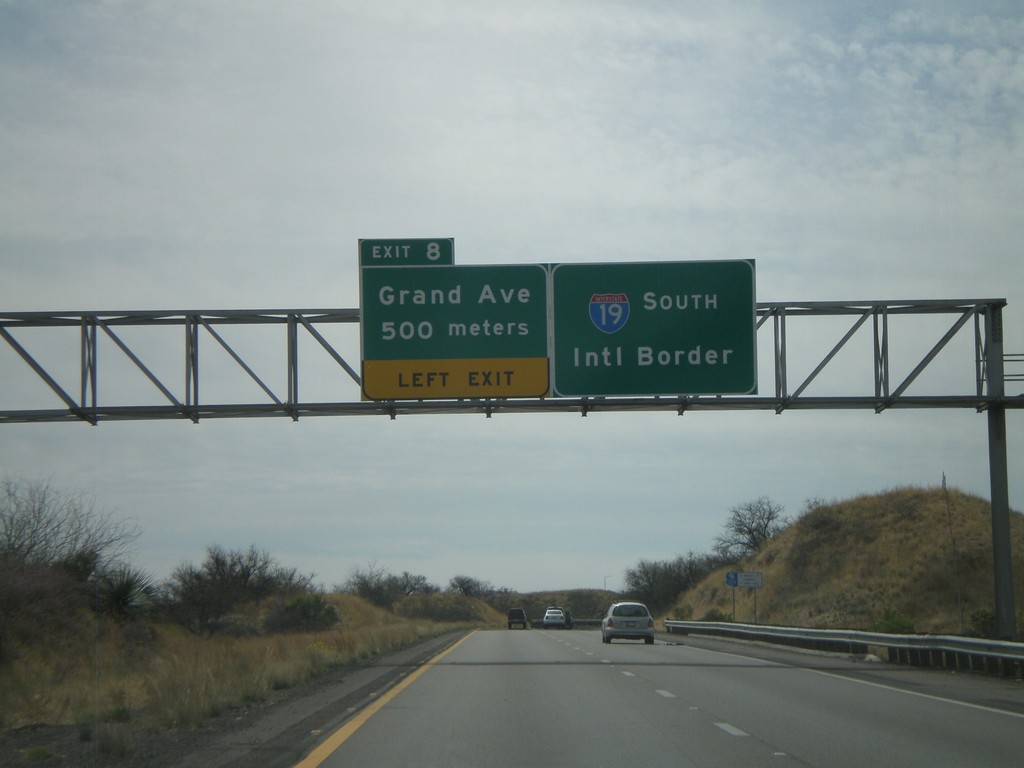
I-19 South - Exit 8
I-19 south approaching Exit 8 - Grand Ave. I-19 continues south towards the International Border with Mexico. Grand Ave. is the Nogales business loop.
Taken 03-22-2009
Nogales
Santa Cruz County
Arizona
United States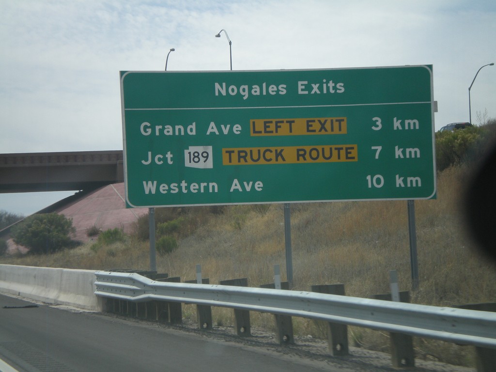
I-19 South - Nogales Exits
Nogales Exits on I-19 south. Distance to Grand Ave., AZ-189, and Western Ave.
Taken 03-22-2009
Nogales
Santa Cruz County
Arizona
United States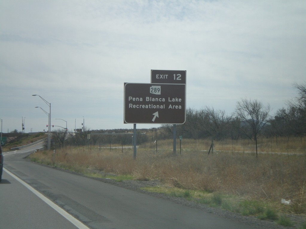
I-19 South - Exit 12
I-19 south at Exit 12 - AZ-289/Pena Blanca Lake Recreational Area. The sign is colored brown.
Taken 03-22-2009
 Rio Rico
Santa Cruz County
Arizona
United States
Rio Rico
Santa Cruz County
Arizona
United States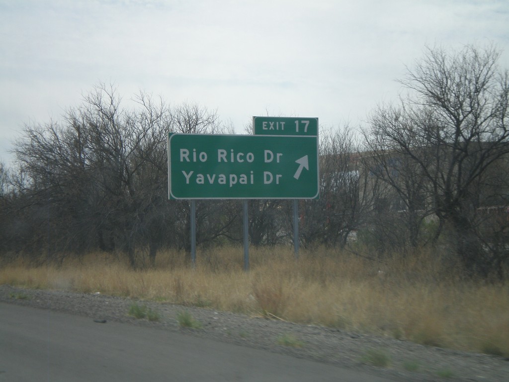
I-19 South - Exit 17
I-19 south at Exit 17 - Rio Rico Drive/Yavapai Drive.
Taken 03-22-2009
Rio Rico
Santa Cruz County
Arizona
United States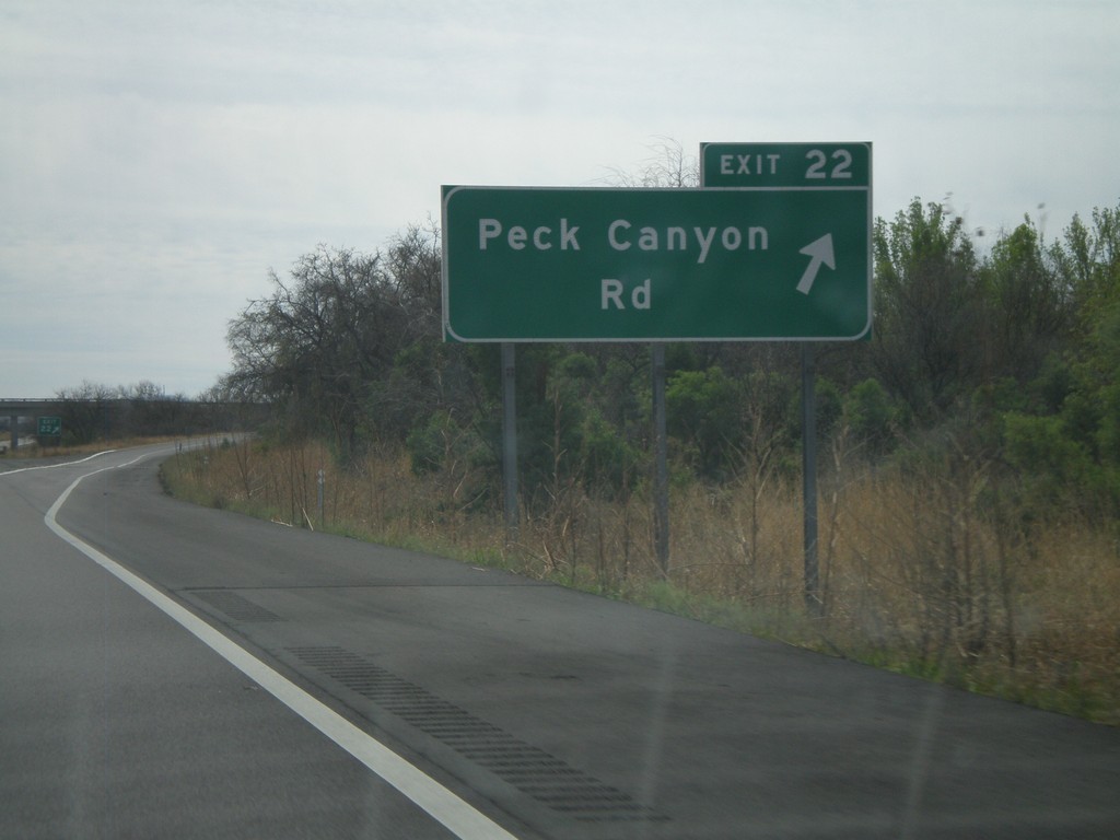
I-19 South - Exit 22
I-19 south at Exit 22 - Peck Canyon Road.
Taken 03-22-2009
Rio Rico
Santa Cruz County
Arizona
United States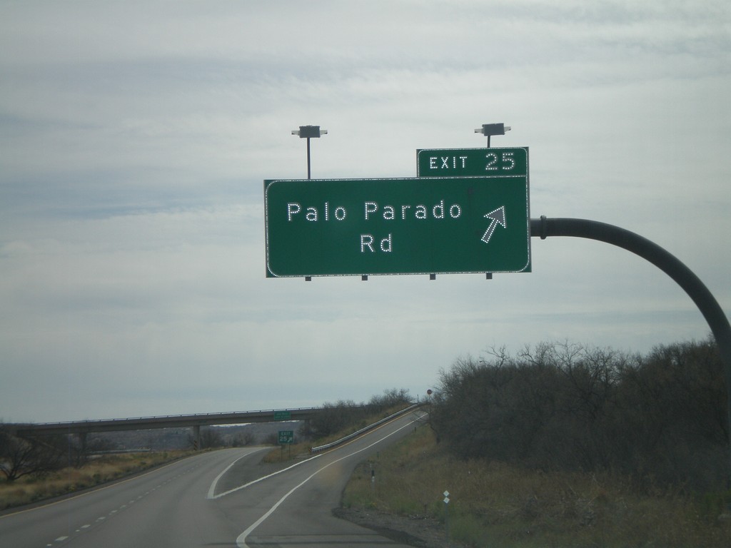
I-19 South - Exit 25
I-19 south at Exit 25 - Palo Parado Road.
Taken 03-22-2009
Rio Rico
Santa Cruz County
Arizona
United States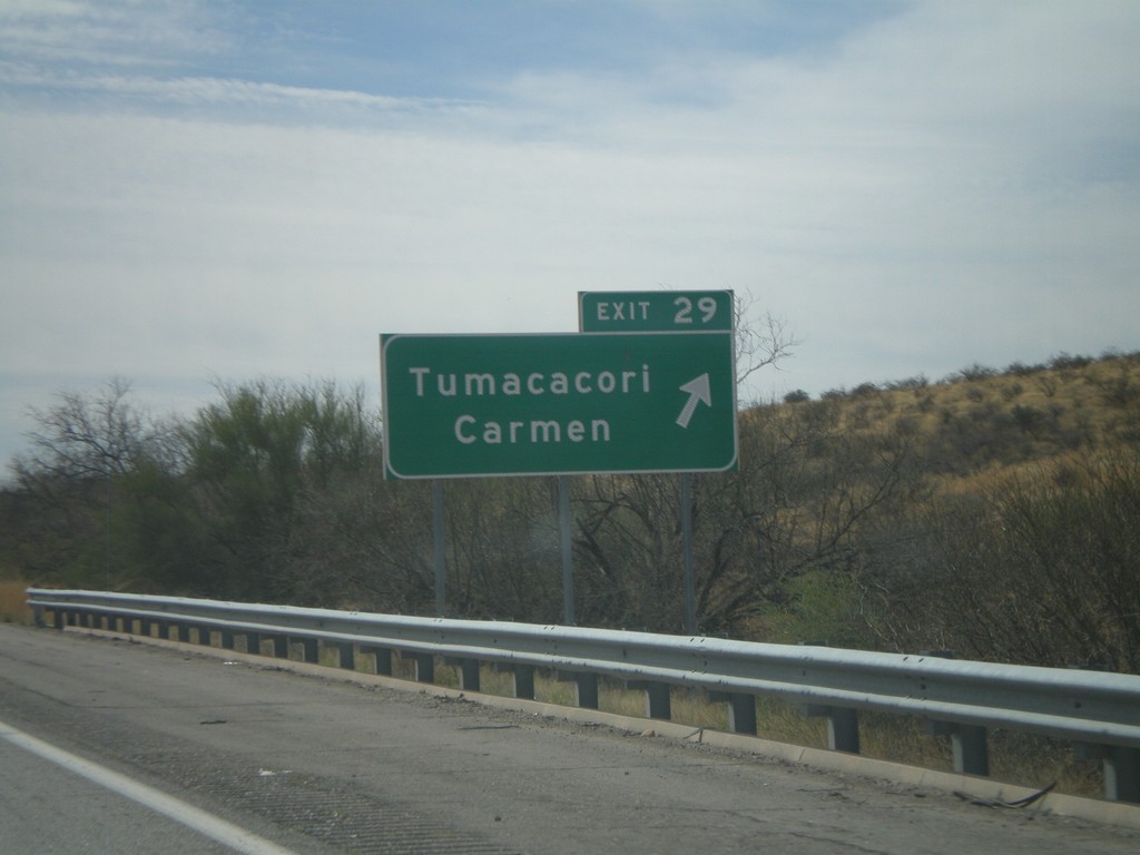
I-19 South - Exit 29
I-19 south at Exit 29 - Tumacacori/Carmen.
Taken 03-22-2009
Tubac
Santa Cruz County
Arizona
United States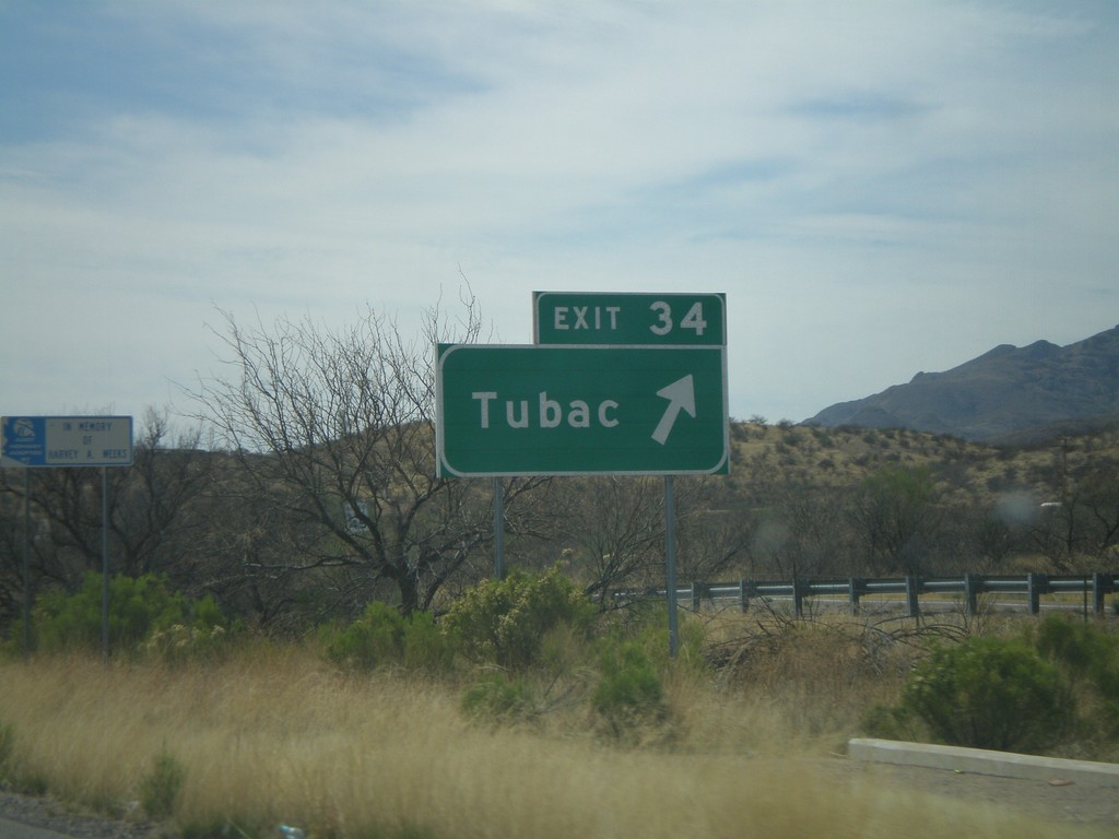
I-19 South - Exit 34
I-19 south at Exit 34 - Tubac.
Taken 03-22-2009
Tubac
Santa Cruz County
Arizona
United States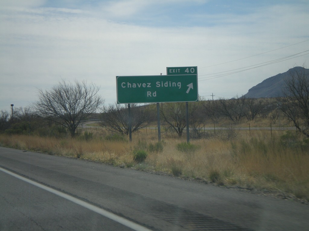
I-19 South - Exit 40
I-19 south at Exit 40 - Chavez Siding Road.
Taken 03-22-2009
Tubac
Santa Cruz County
Arizona
United States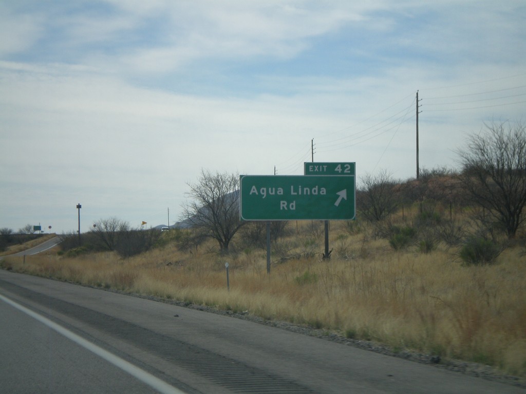
I-19 South - Exit 42
I-19 south at Exit 42 - Agua Linda Road.
Taken 03-22-2009
Amado
Santa Cruz County
Arizona
United States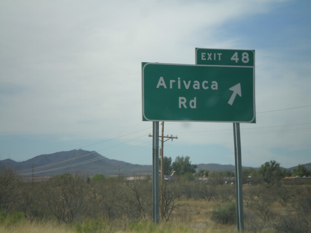
I-19 South - Exit 48
I-19 south at Exit 48 - Arivaca Road.
Taken 03-22-2009
Amado
Pima County
Arizona
United States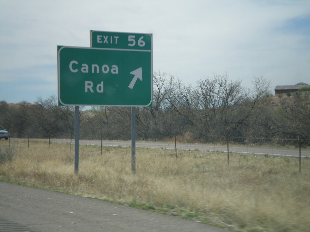
I-19 South - Exit 56
I-19 south at Exit 56 - Canoa Road.
Taken 03-22-2009
Green Valley
Pima County
Arizona
United States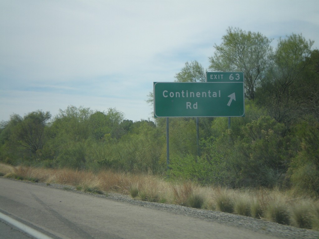
I-19 South - Exit 63
I-19 south at Exit 63 - Continental Road.
Taken 03-22-2009
Green Valley
Pima County
Arizona
United States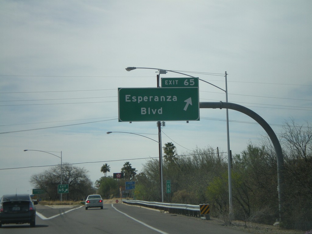
I-19 South - Exit 65
I-19 south at Exit 65 - Esperanza Blvd.
Taken 03-22-2009
Green Valley
Pima County
Arizona
United States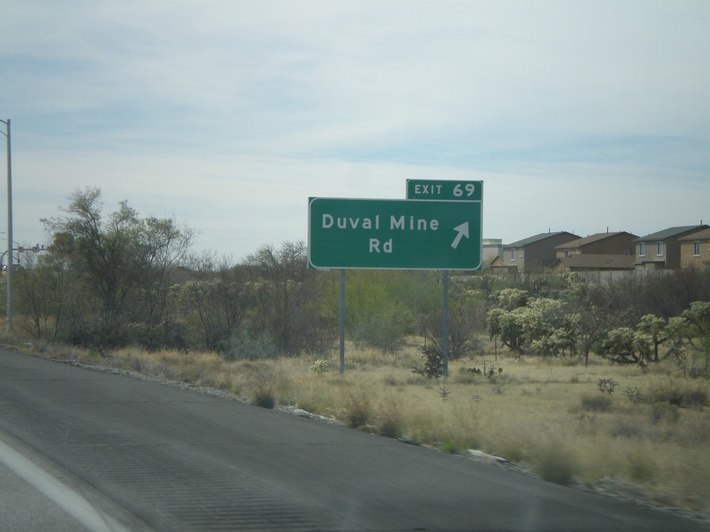
I-19 South - Exit 69
I-19 south at Exit 69 - Duval Mine Road.
Taken 03-22-2009
Sahuarita
Pima County
Arizona
United States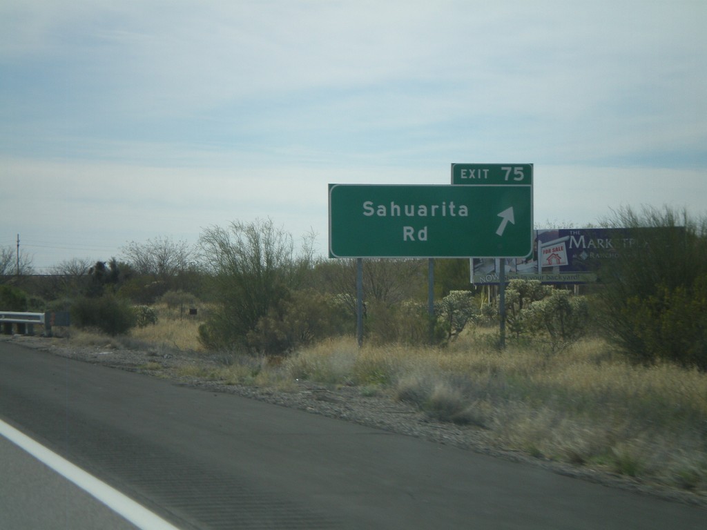
I-19 South - Exit 75
I-19 south at Exit 75 - Sahuarita Road.
Taken 03-22-2009
Sahuarita
Pima County
Arizona
United States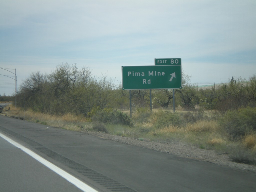
I-19 South - Exit 80
I-19 south at Exit 80 - Pima Mine Road.
Taken 03-22-2009
Sahuarita
Pima County
Arizona
United States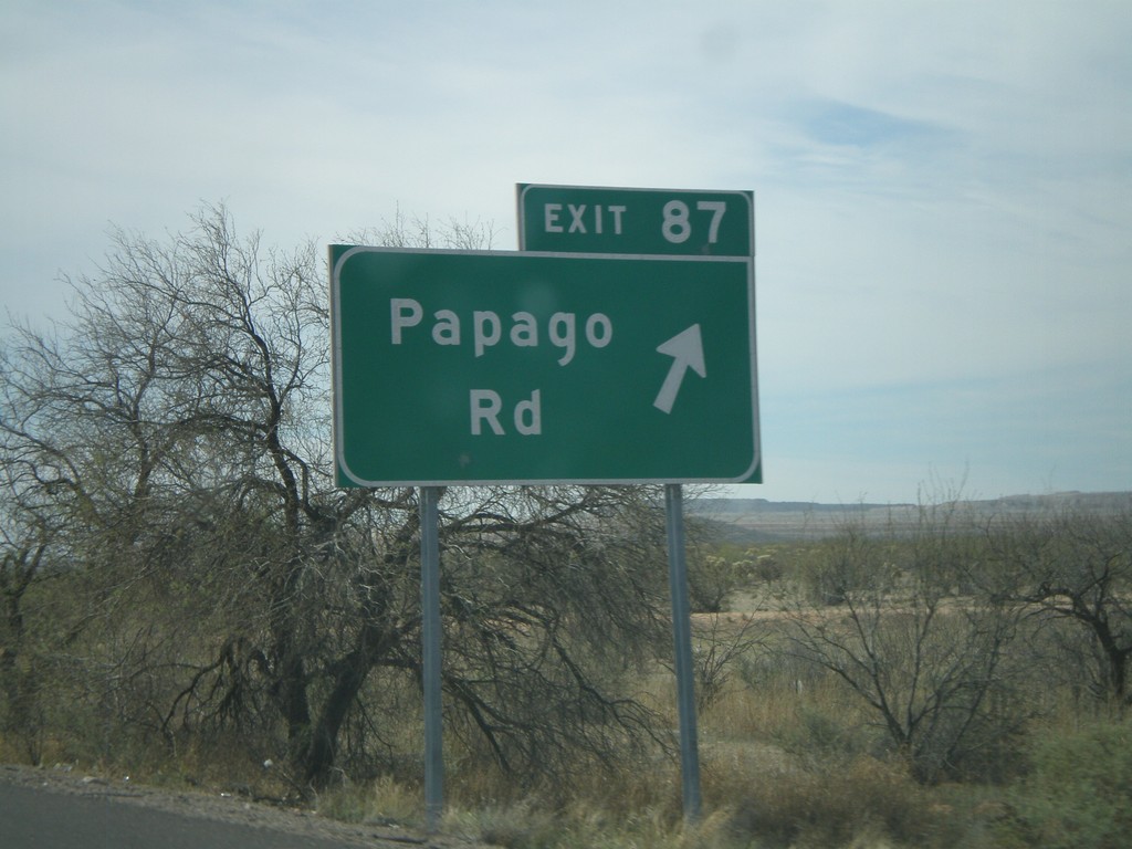
I-19 South - Exit 87
I-19 south at Exit 87 - Papago Road.
Taken 03-22-2009
Tucson
Pima County
Arizona
United States