Signs Tagged With Big Green Sign
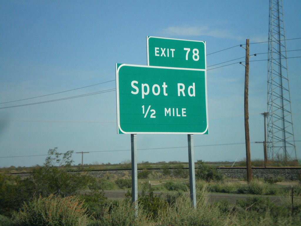
I-8 East Approaching Exit 78
I-8 east approaching Exit 78 - Spot Road.
Taken 03-20-2010
 Dateland
Yuma County
Arizona
United States
Dateland
Yuma County
Arizona
United States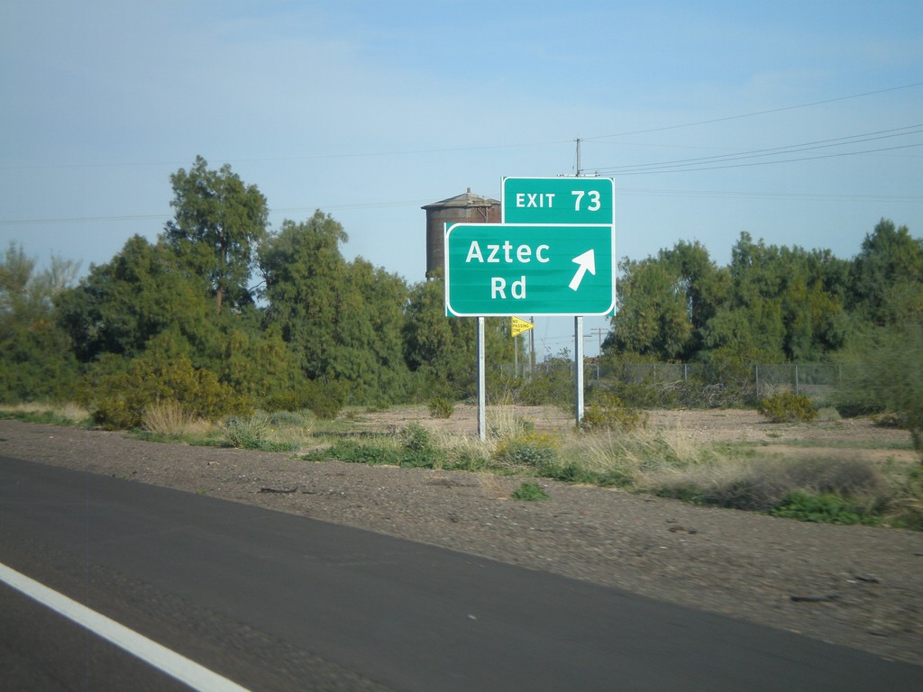
I-8 East - Exit 73
I-8 east at Exit 73 - Aztec Road.
Taken 03-20-2010
Aztec
Yuma County
Arizona
United States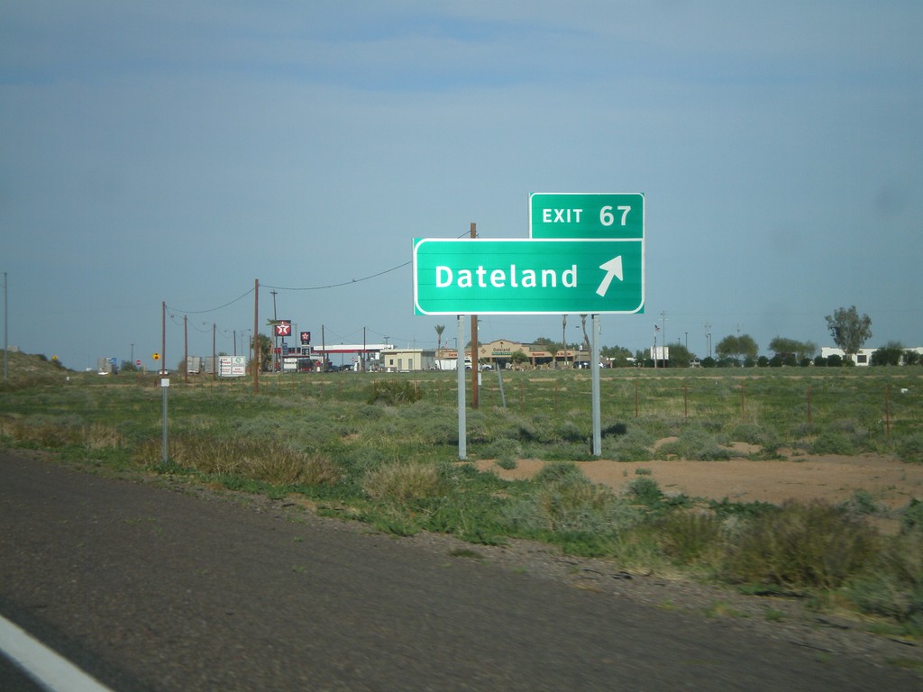
I-8 East - Exit 67
I-8 east at Exit 67 - Dateland
Taken 03-20-2010
Dateland
Yuma County
Arizona
United States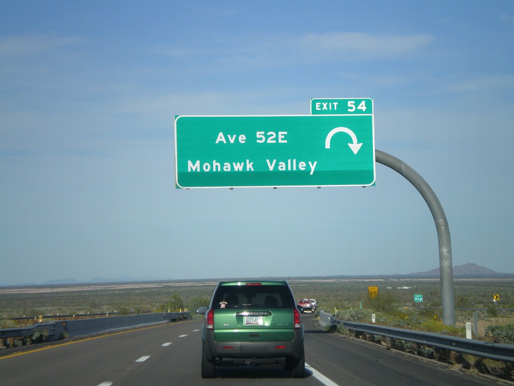
I-8 East - Exit 54
I-8 east at Exit 54 - Ave 52E/Mohawk Valley.
Taken 03-20-2010
Roll
Yuma County
Arizona
United States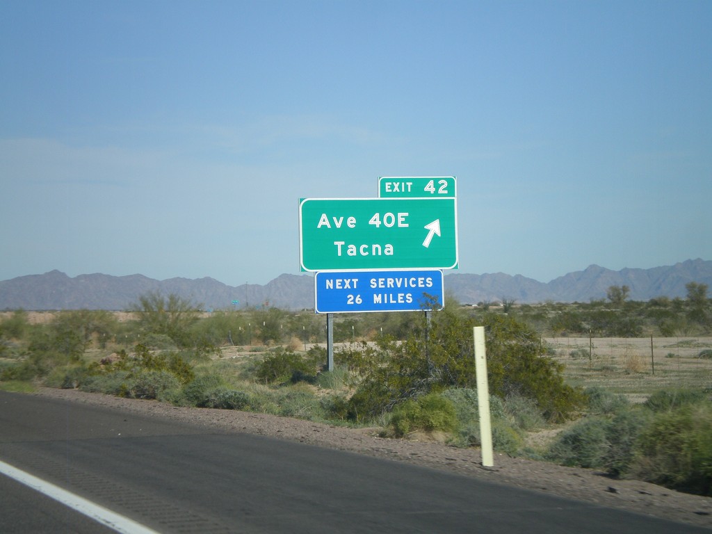
I-8 East - Exit 42
I-8 east at Exit 42 - Ave 40E/Tacna
Taken 03-20-2010
Wellton
Yuma County
Arizona
United States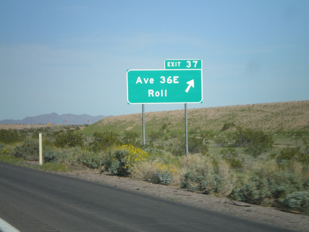
I-8 East - Exit 37
I-8 east at Exit 37 - Ave 36E/Roll.
Taken 03-20-2010
Noah
Yuma County
Arizona
United States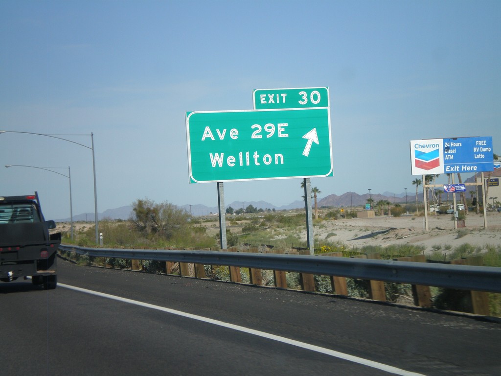
I-8 East - Exit 30
I-8 east at Exit 30 - Ave 29E/Wellton.
Taken 03-20-2010
Wellton
Yuma County
Arizona
United States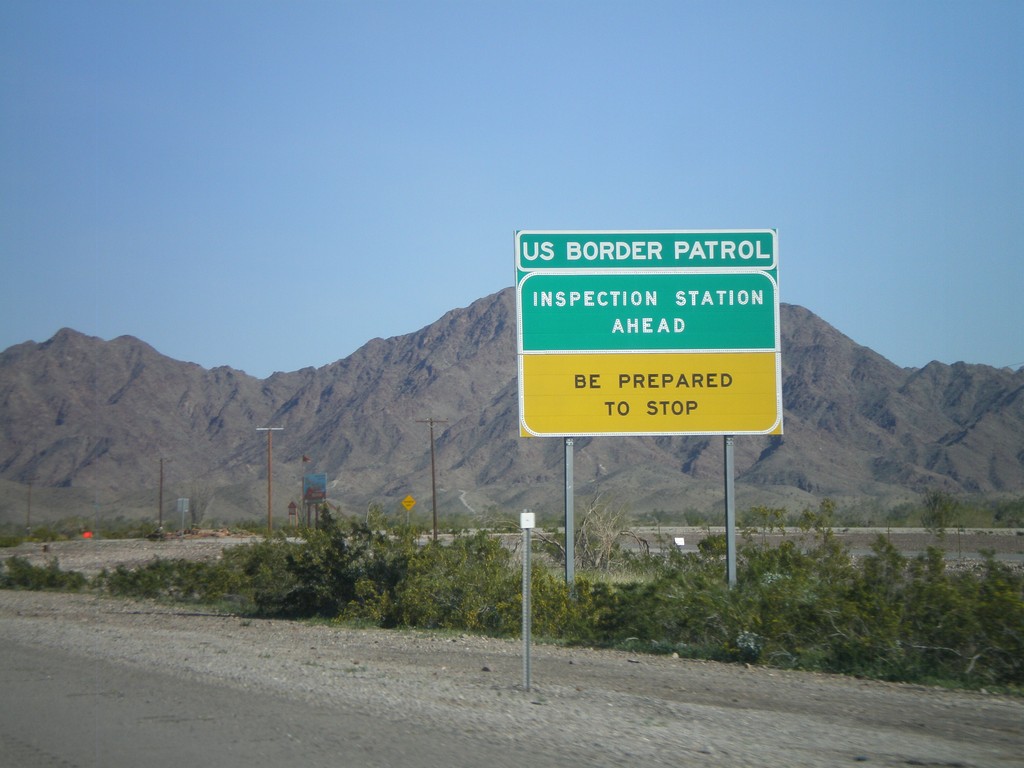
I-8 East Approaching US Border Patrol Inspection Station
I-8 approaching the US Border Patrol Inspection Station, east of Yuma. The station was closed at the time this picture was taken.
Taken 03-20-2010
Fortuna Foothills
Yuma County
Arizona
United States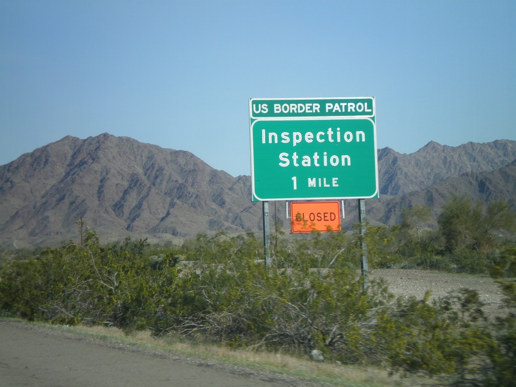
I-8 East Approaching US Border Patrol Inspection Station
I-8 east approaching the US Border Patrol Inspection Station. The station was closed at the time this picture was taken, and another station was set up about 50 miles east of here.
Taken 03-20-2010
Fortuna Foothills
Yuma County
Arizona
United States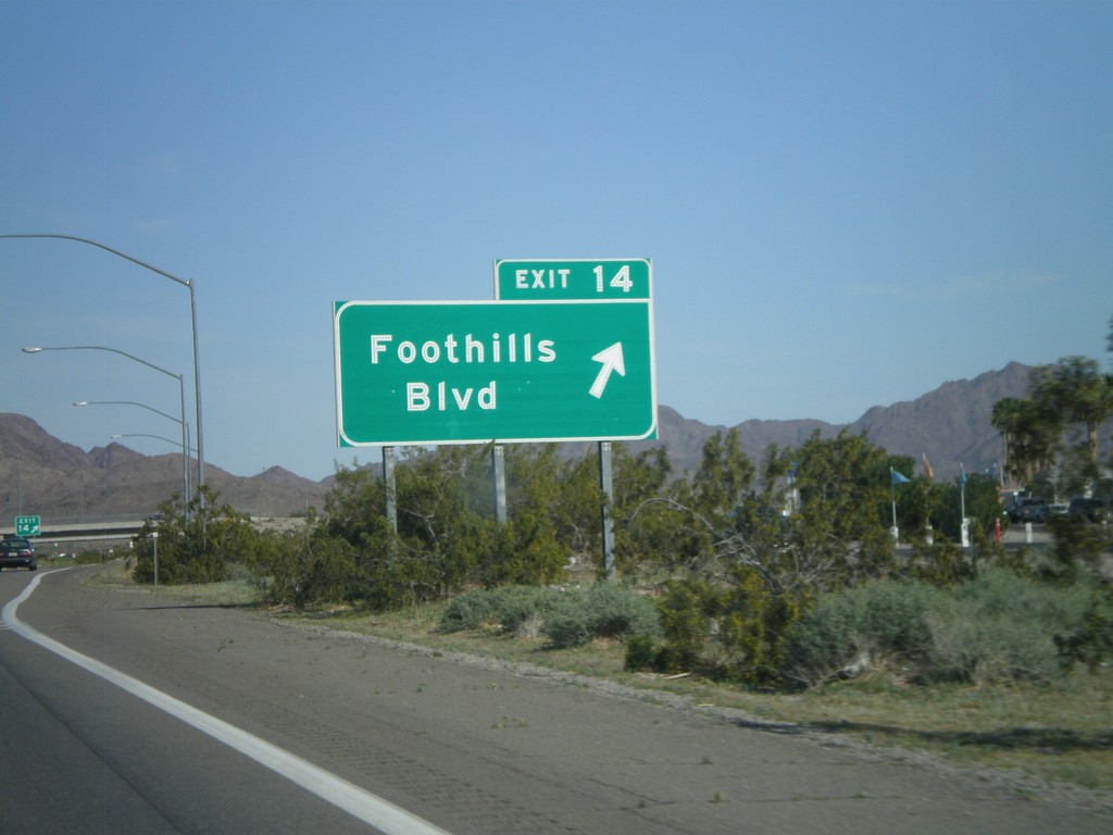
I-8 East - Exit 14
I-8 east at Exit 14 - Foothills Blvd.
Taken 03-20-2010
Yuma
Yuma County
Arizona
United States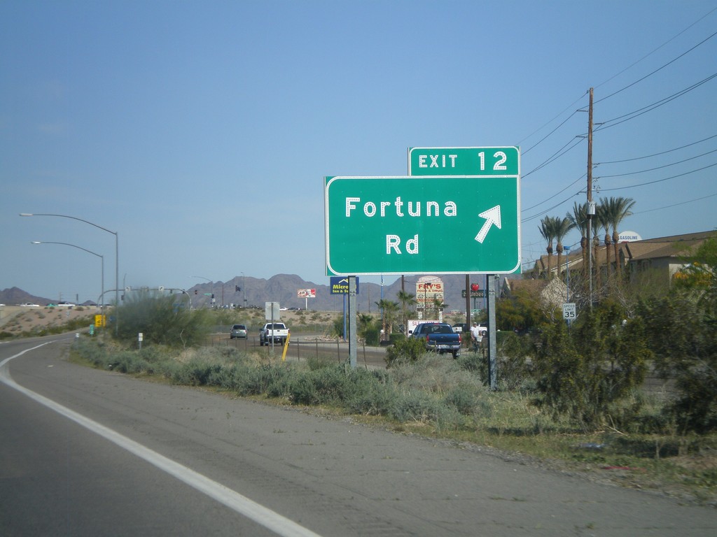
I-8 East - Exit 12
I-8 east at Exit 12 - Fortuna Road.
Taken 03-20-2010
Martinez Lake
Yuma County
Arizona
United States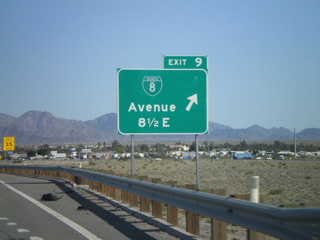
I-8 East - Exit 9
I-8 east at Exit 9 - BL-8/Avenue 8 1/2 East.
Taken 03-20-2010
 Yuma
Yuma County
Arizona
United States
Yuma
Yuma County
Arizona
United States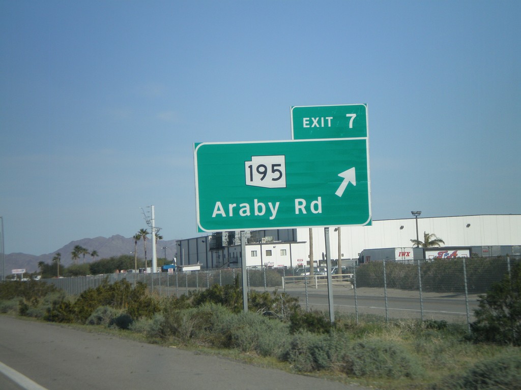
I-8 East - Exit 7
I-8 east at Exit 7 - AZ-195/Araby Road. AZ-195 is being constructed as an alternate route between Yuma and the San Luis Port of Entry at the Mexico border. Currently only a few miles of this route is complete.
Taken 03-20-2010
 Yuma
Yuma County
Arizona
United States
Yuma
Yuma County
Arizona
United States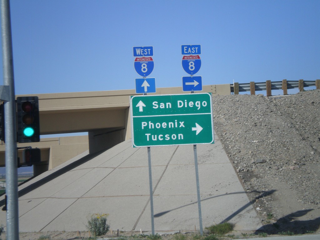
AZ-280 North at I-8
AZ-280 north at I-8. Use I-8 west for San Diego. Use I-8 east for Phoenix and Tucson.
Taken 03-20-2010
 Yuma
Yuma County
Arizona
United States
Yuma
Yuma County
Arizona
United States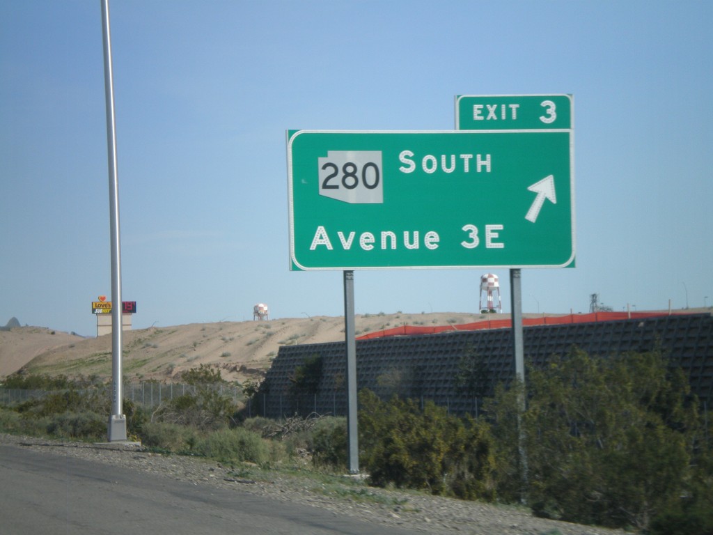
I-8 East - Exit 3
I-8 east at Exit 3 -AZ-280 South/Ave 3E
Taken 03-20-2010
Yuma
Yuma County
Arizona
United States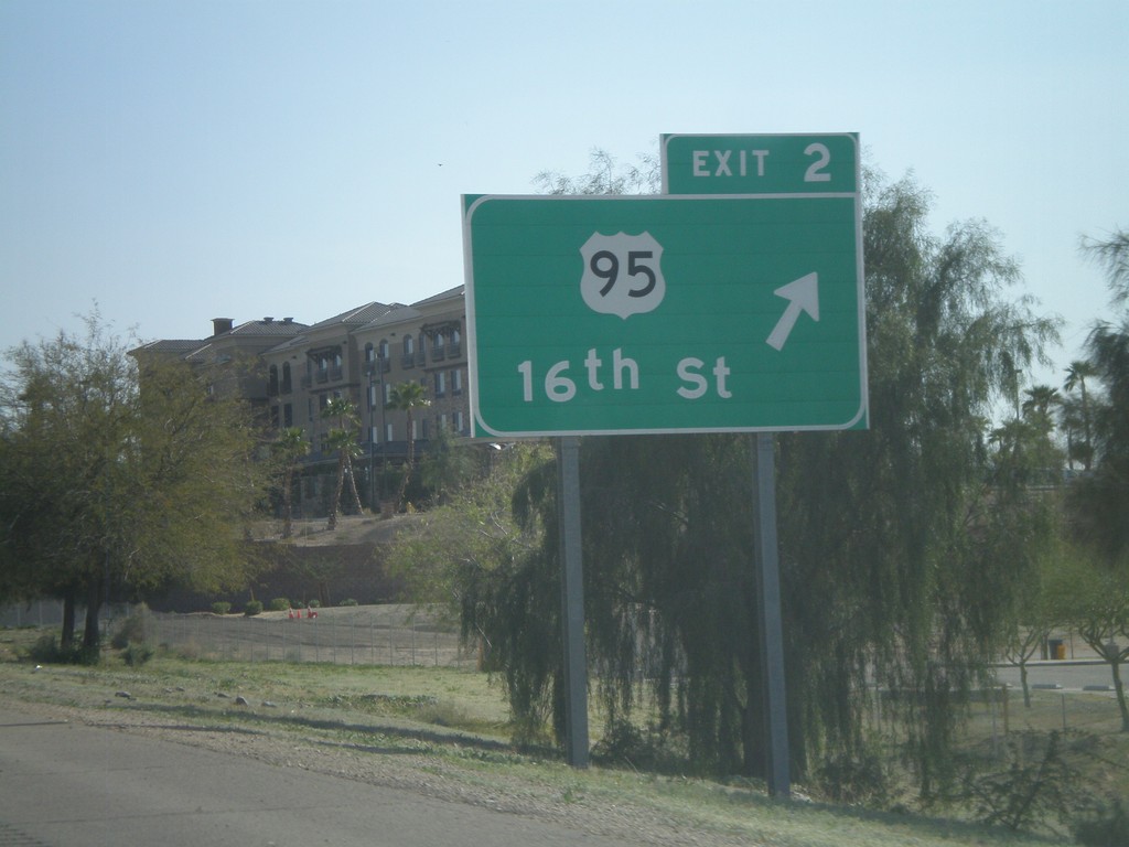
I-8 East - Exit 2
I-8 east at Exit 2 - US-95/16th St.
Taken 03-20-2010
 Yuma
Yuma County
Arizona
United States
Yuma
Yuma County
Arizona
United States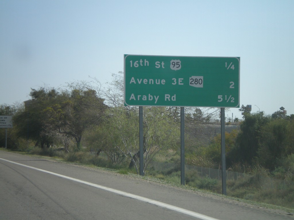
I-8 East - Distance Marker
Upcoming exits on I-8 east - 16th St./US-95, Ave 3E/AZ-280, Araby Road.
Taken 03-20-2010
Yuma
Yuma County
Arizona
United States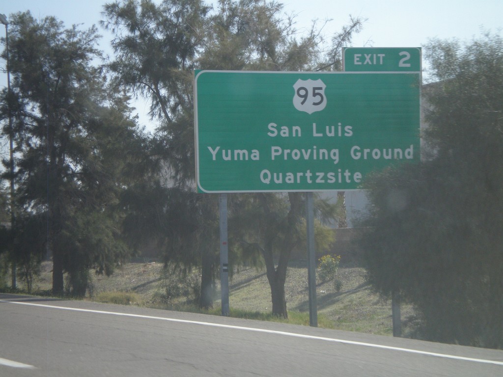
I-8 East Approaching Exit 2
I-8 east approaching Exit 2 - US-95 jct. Use US-95 for San Luis, Yuma Proving Ground, and Quartzite.
Taken 03-20-2010
Yuma
Yuma County
Arizona
United States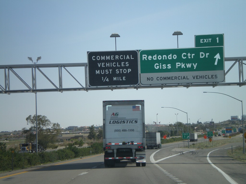
I-8 East - Exit 1
I-8 east at Exit 1 - Redondo Center Drive/Giss Parkway. This is the first Arizona exit along I-8. Approaching the Arizona Port of Entry.
Taken 03-20-2010
Yuma
Yuma County
Arizona
United States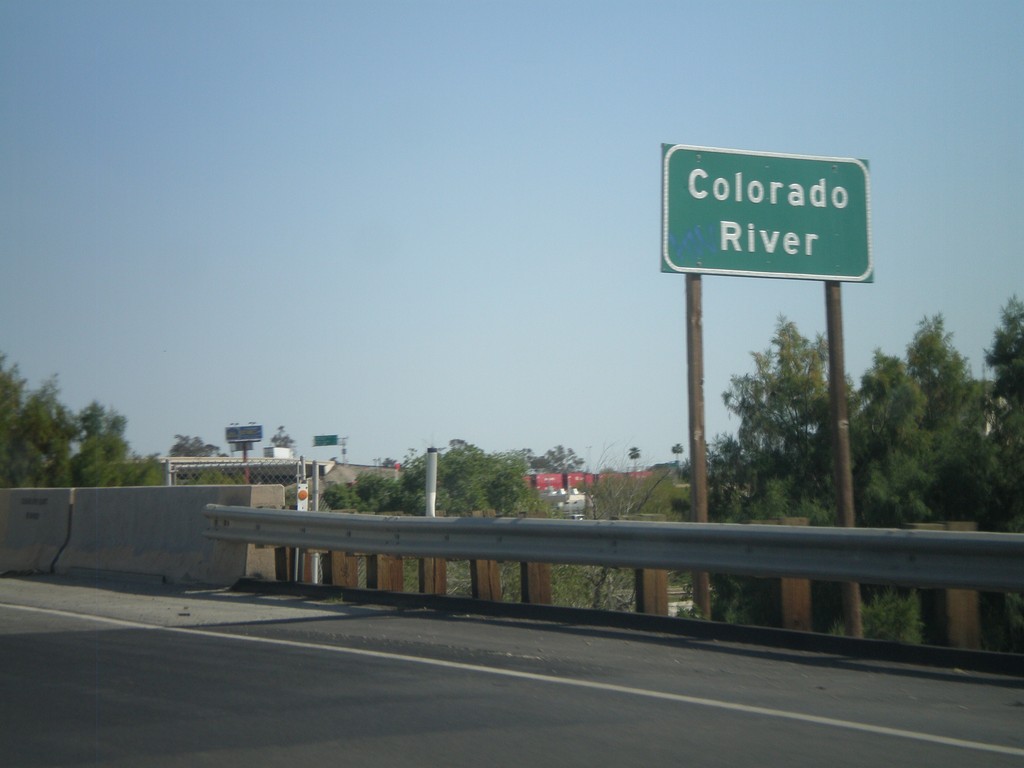
I-8 East - Colorado River
I-8 east at the Colorado River. The Colorado River marks the boundary between California and Arizona.
Taken 03-20-2010
Winterhaven
Imperial County
California
United States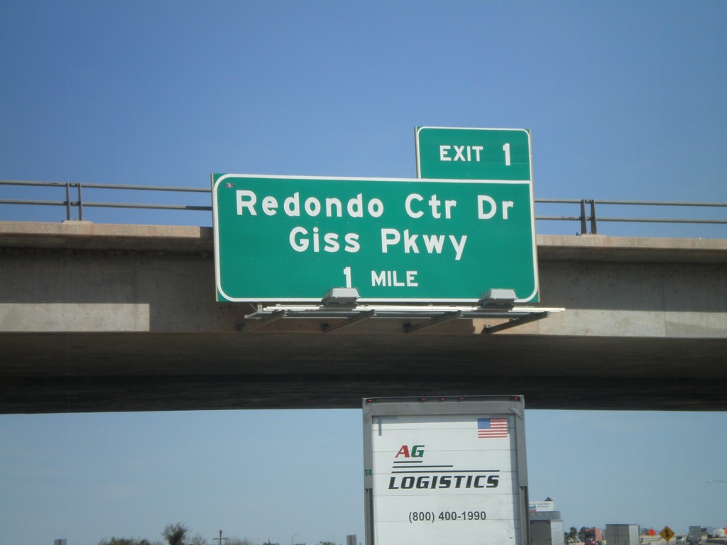
I-8 East - Arizona Exit 1
I-8 east approaching Arizona Exit 1 - Redondo Center Drive/Giss Parkway. This sign appears to have been placed by the Arizona DOT.
Taken 03-20-2010
Winterhaven
Imperial County
California
United States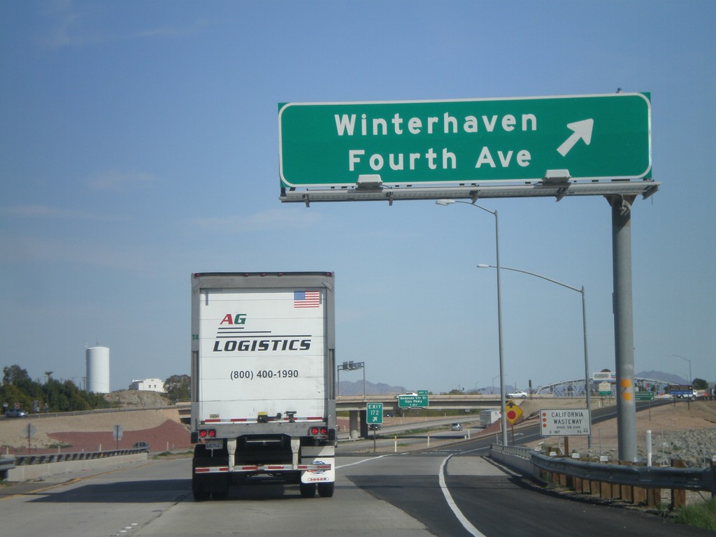
I-8 East - Exit 172
I-8 east at Exit 172 - Winterhaven/Fourth Ave. This is the last exit in California along I-8 east. Also crossing the California Wasteway.
Taken 03-20-2010
Winterhaven
Imperial County
California
United States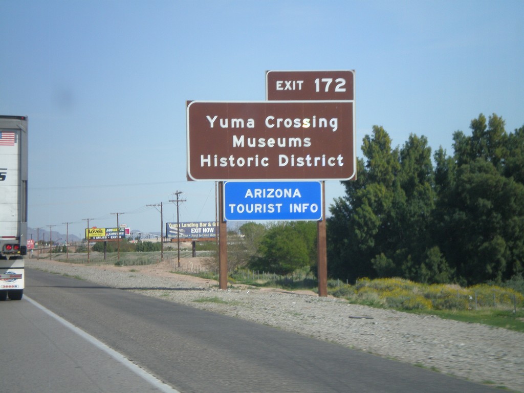
I-8 East Approaching Exit 172
I-8 east approaching Exit 172. Use Exit 172 for Yuma Crossing, Museums, and Historic District. Also use Exit 172 for the Arizona Welcome Center. While Exit 172 is in California, it does provide access to the city of Yuma, Arizona. This sign appears to have been placed by the Arizona DOT.
Taken 03-20-2010
Winterhaven
Imperial County
California
United States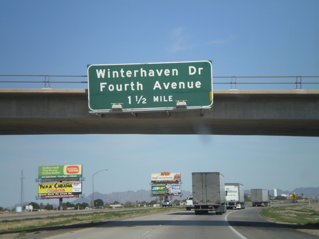
I-8 East Approaching Exit 172
I-8 east approaching Exit 172 - Winterhaven Drive/Fourth Ave.
Taken 03-20-2010
Winterhaven
Imperial County
California
United States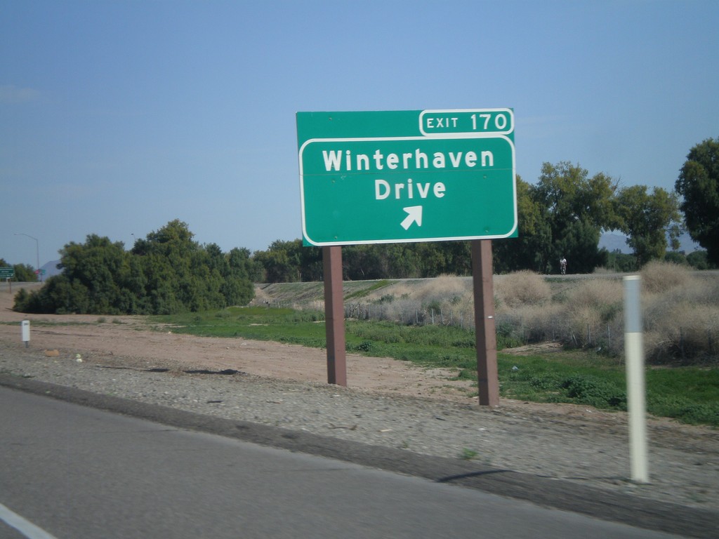
I-8 East - Exit 170
I-8 east at Exit 170 - Winterhaven Drive
Taken 03-20-2010
Winterhaven
Imperial County
California
United States