Signs Tagged With Big Green Sign
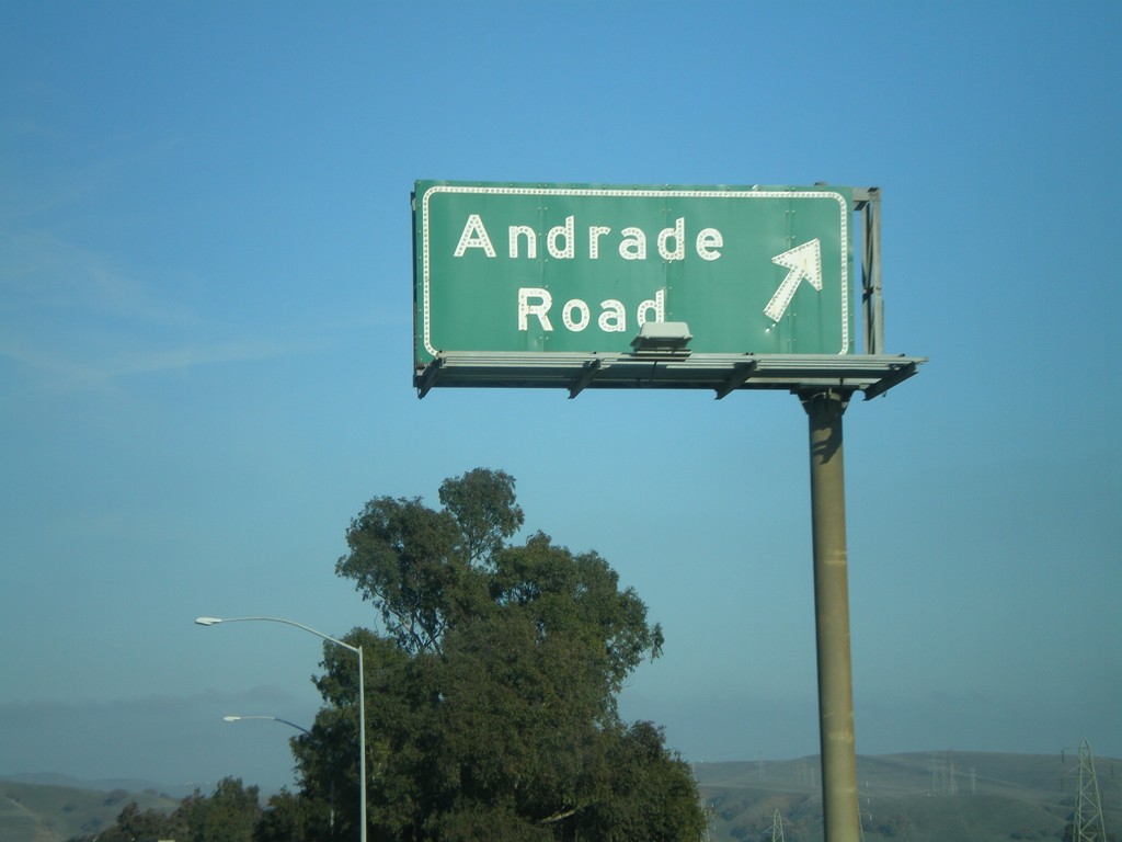
I-680 North - Exit 20
I-680 north at Exit 20 - Andrade Road.
Taken 01-01-2009
 Sunol
Alameda County
California
United States
Sunol
Alameda County
California
United States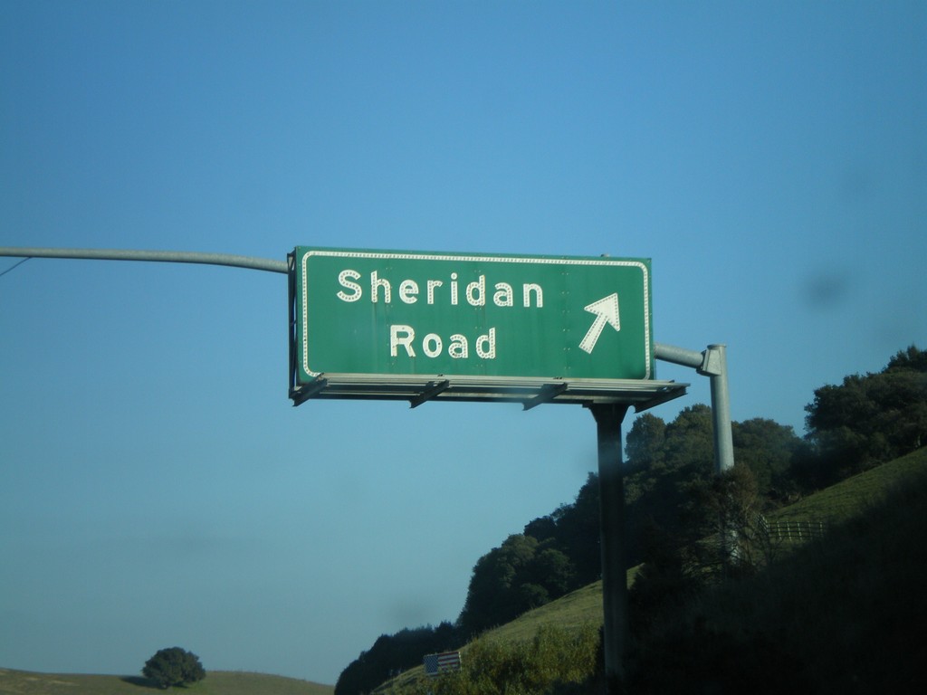
I-680 North - Exit 18B
I-680 north at Exit 18B - Sheridan Road.
Taken 01-01-2009
Sunol
Alameda County
California
United States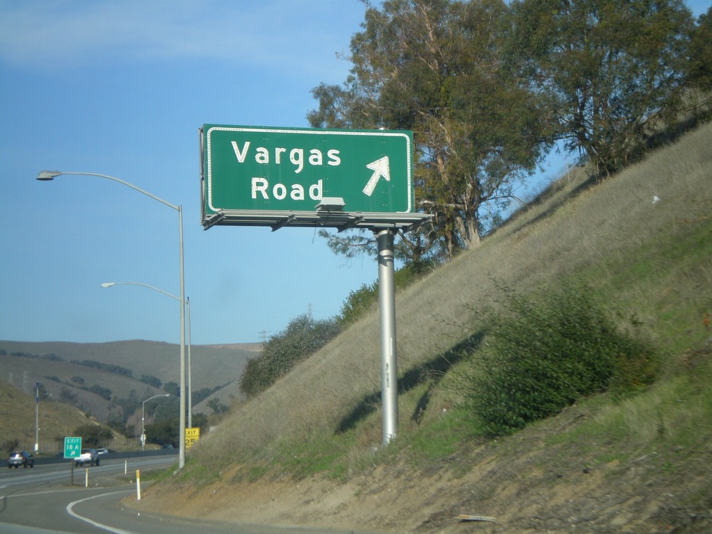
I-680 North - Exit 18A
I-680 north at Exit 18A - Vargas Rd.
Taken 01-01-2009
Fremont
Alameda County
California
United States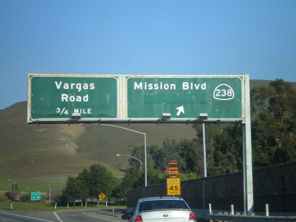
I-680 North - Exit 16 and Exit 18A
I-680 north at Exit 16 - CA-238/Mission Blvd. Approaching Exit 18A - Vargas Rd.
Taken 01-01-2009
 Fremont
Alameda County
California
United States
Fremont
Alameda County
California
United States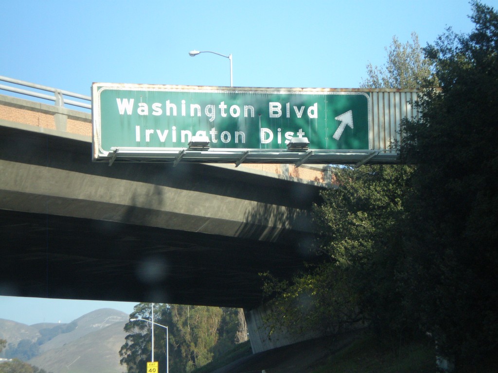
I-680 North - Exit 15
I-680 north at Exit 15 - Washington Blvd./Irvington Dist.
Taken 01-01-2009
Fremont
Alameda County
California
United States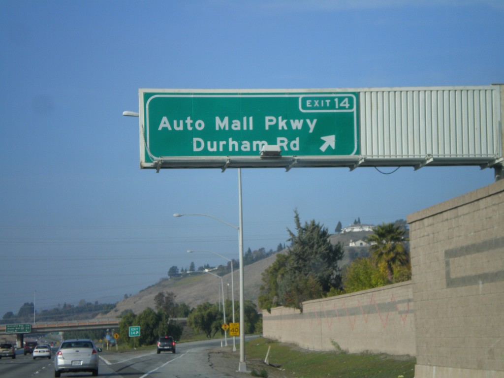
I-680 North - Exit 14
I-680 north at Exit 14 - Auto Mall Parkway/Durham Road
Taken 01-01-2009
Fremont
Alameda County
California
United States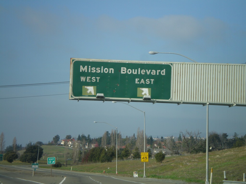
I-680 North - Exit 12
I-680 north at Exit 12 - Mission Blvd.
Taken 01-01-2009
Fremont
Alameda County
California
United States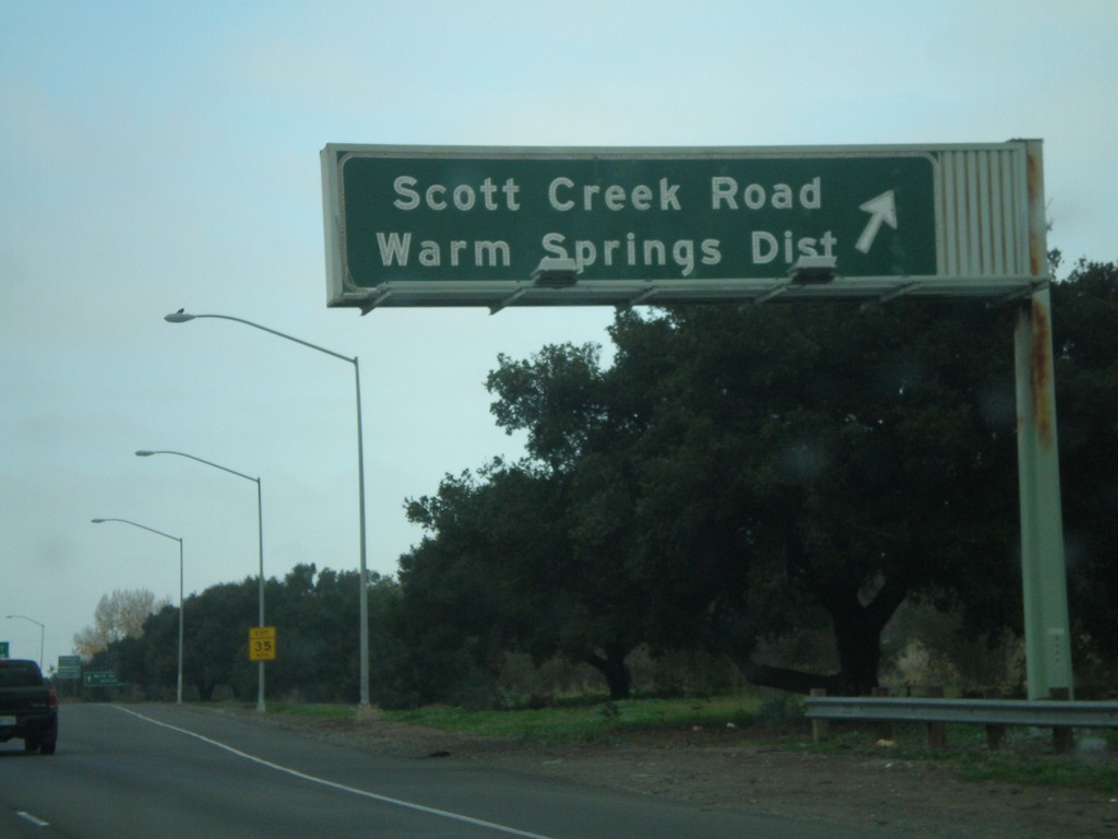
I-680 North - Exit 10
I-680 north at Exit 10 - Scott Creek Road/Warm Springs District
Taken 01-01-2009
Milpitas
Santa Clara County
California
United States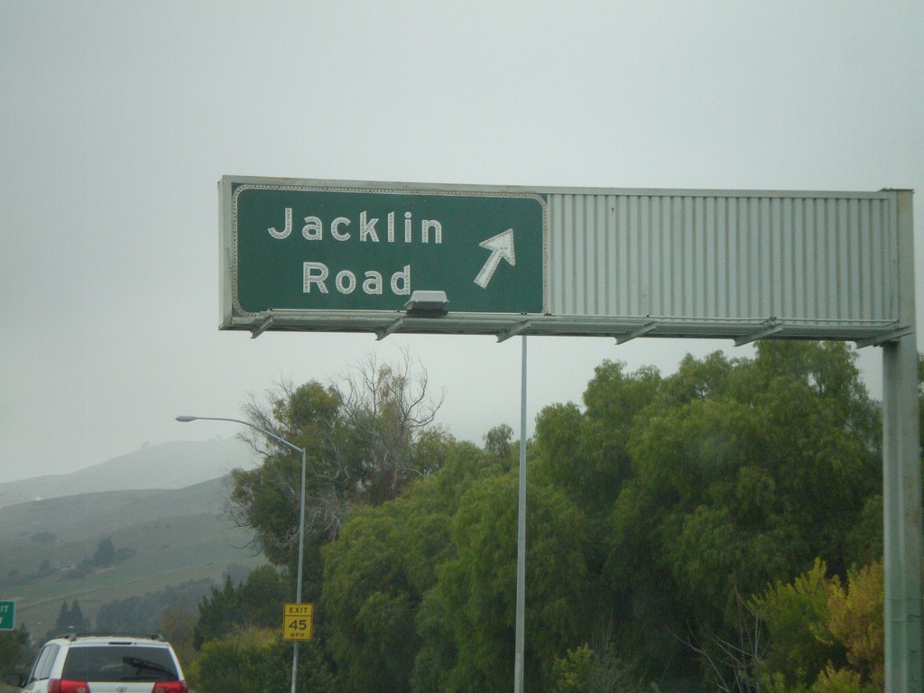
I-680 North - Exit 9
I-680 north at Exit 9 - Jacklin Road.
Taken 01-01-2009
Milpitas
Santa Clara County
California
United States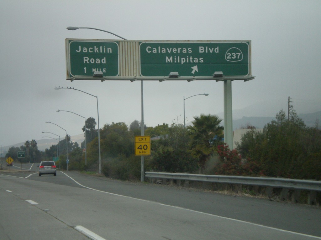
I-680 North Exit 8 and Exit 9
I-680 north at Exit 8 - CA-237/Calaveras Blvd./Milpitas. Approaching Exit 9 - Jacklin Road.
Taken 01-01-2009
 Milpitas
Santa Clara County
California
United States
Milpitas
Santa Clara County
California
United States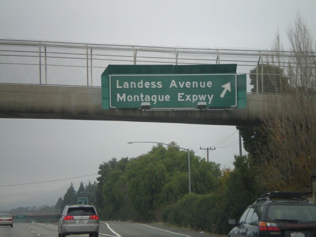
I-680 North - Exit 6
I-680 north at Exit 6 - Landess Ave./Montague Expressway
Taken 01-01-2009
San Jose
Santa Clara County
California
United States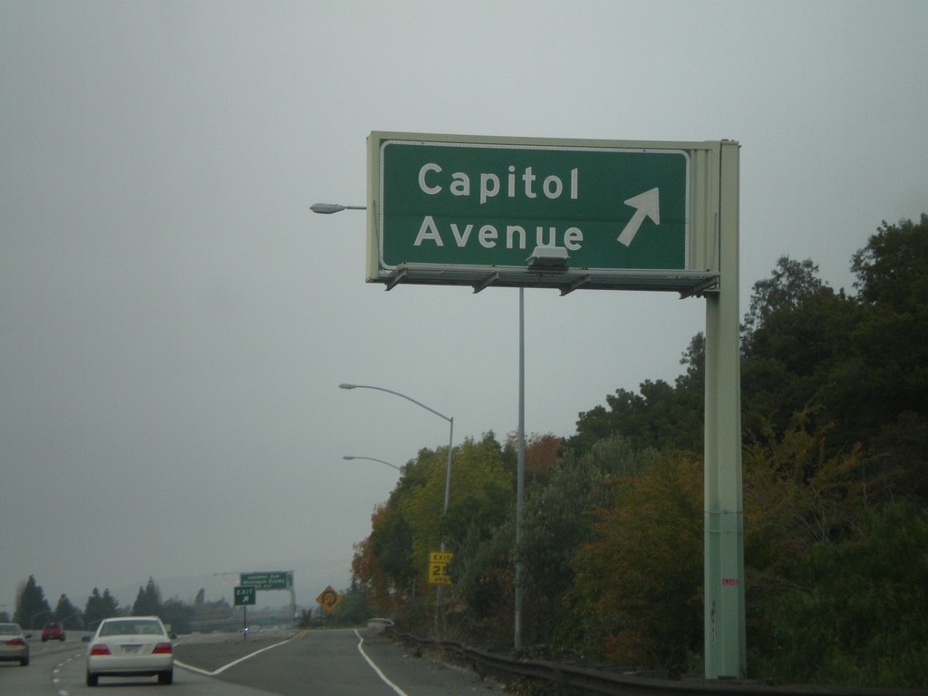
I-680 North - Exit 5B
I-680 north at Exit 5B - Capitol Ave.
Taken 01-01-2009
San Jose
Santa Clara County
California
United States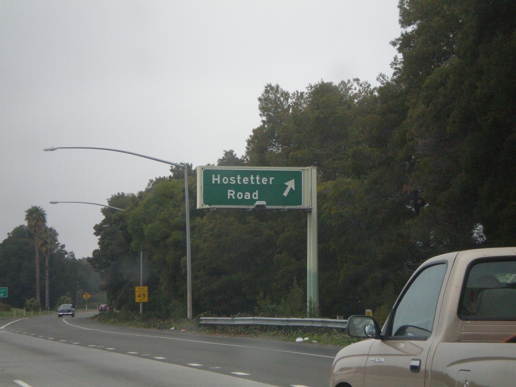
I-680 North - Exit 5A
I-680 north at Exit 5A - Hostetter Road
Taken 01-01-2009
San Jose
Santa Clara County
California
United States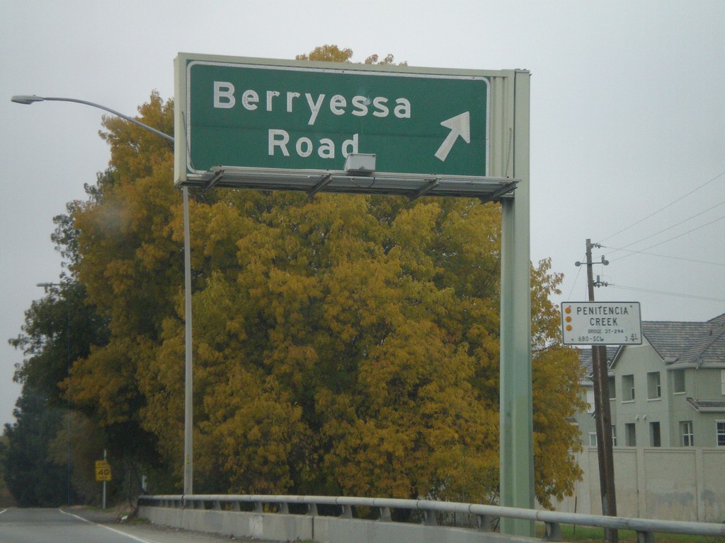
I-680 North - Exit 4
I-680 north at Exit 4 - Berryessa Road.
Taken 01-01-2009
San Jose
Santa Clara County
California
United States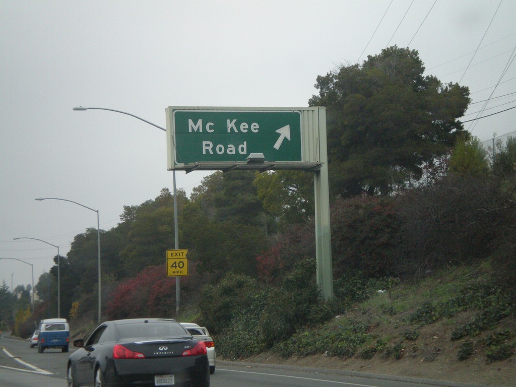
I-680 North - Exit2B
I-680 north at Exit 2B - Mc Kee Road
Taken 01-01-2009
San Jose
Santa Clara County
California
United States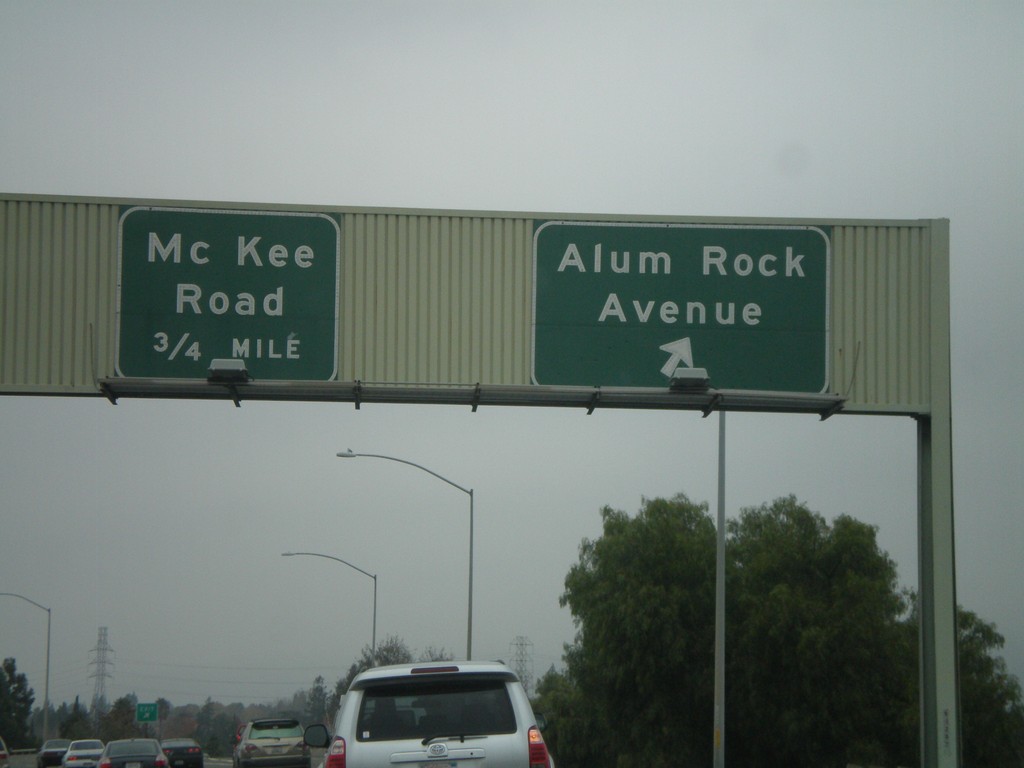
I-680 North - Exit 2A and Exit 2B
I-680 north at Exit 2A - Alum Rock Ave. Approaching Exit 2B - Mc Kee Road.
Taken 01-01-2009
San Jose
Santa Clara County
California
United States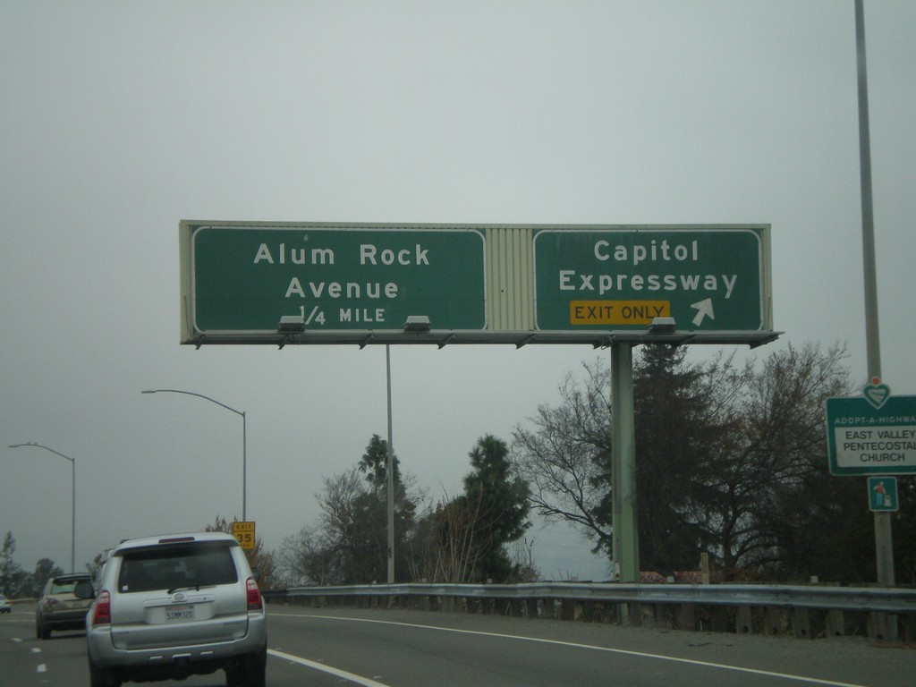
I-680 North - Exit 1C and Exit 2A
I-680 north at Exit 1C - Capitol Expressway. Approaching Exit 2A - Alum Rock Ave.
Taken 01-01-2009
San Jose
Santa Clara County
California
United States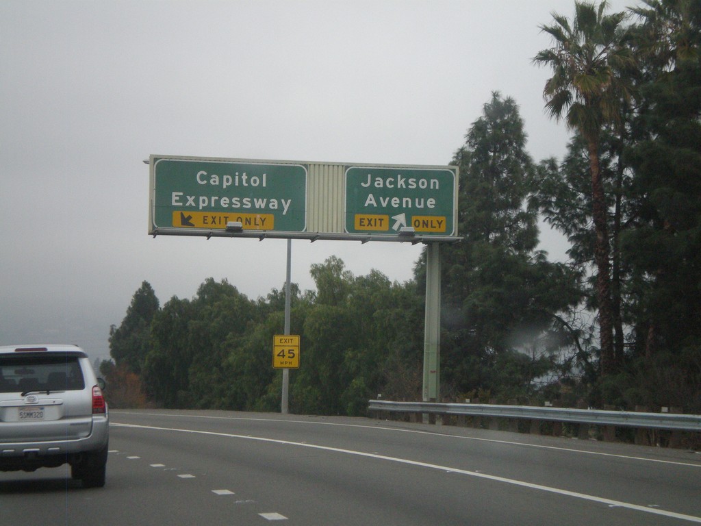
I-680 North - Exit 1B and Exit 1C
I-680 north at Exit 1B - Jackson Ave. Approaching Exit 1C - Capitol Expressway.
Taken 01-01-2009
San Jose
Santa Clara County
California
United States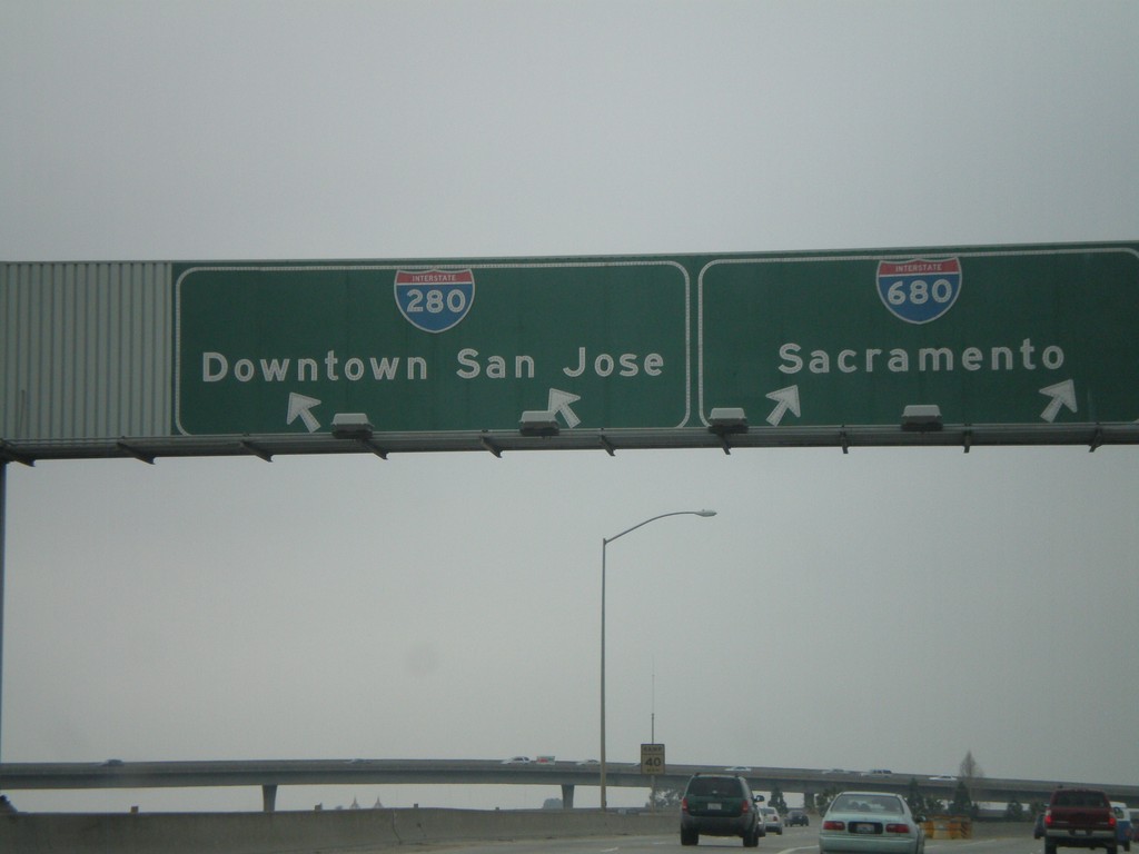
US-101 North at I-280/I-1680 Split (Exit 384)
US-101 north at Exit 384. I-680/I-280 split on offramp. Use I-280 for Downtown San Jose. Use I-680 for Sacramento.
Taken 01-01-2009

 San Jose
Santa Clara County
California
United States
San Jose
Santa Clara County
California
United States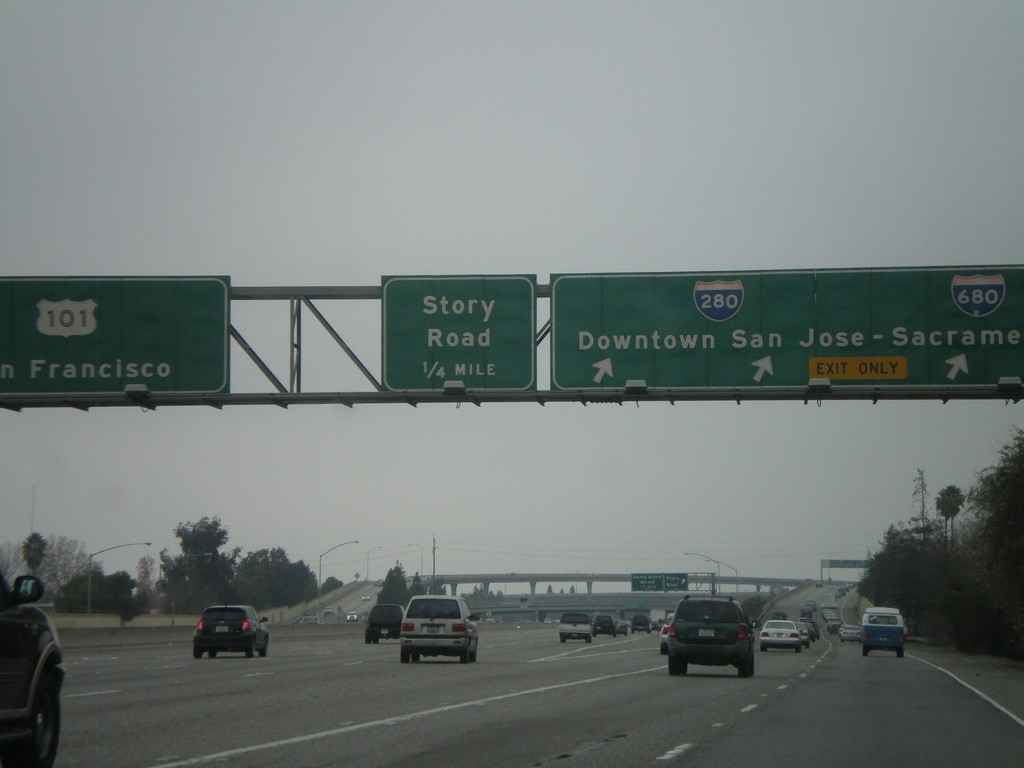
US-101 North - Exit 384 and Exit 385
US-101 north at Exit 384 - I-280/Downtown San Jose/I-680/Sacramento. Approaching Exit 385 - Story Road. US-101 north continues to San Francisco.
Taken 01-01-2009
San Jose
Santa Clara County
California
United States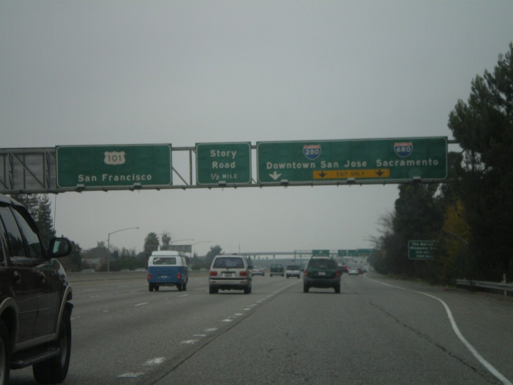
US-101 North - Exit 384 and Exit 385
US-101 north approaching Exit 384 - I-280/Downtown San Jose/I-680/Sacramento. Approaching Exit 385 - Story Road. US-101 continues north to San Francisco.
Taken 01-01-2009
San Jose
Santa Clara County
California
United States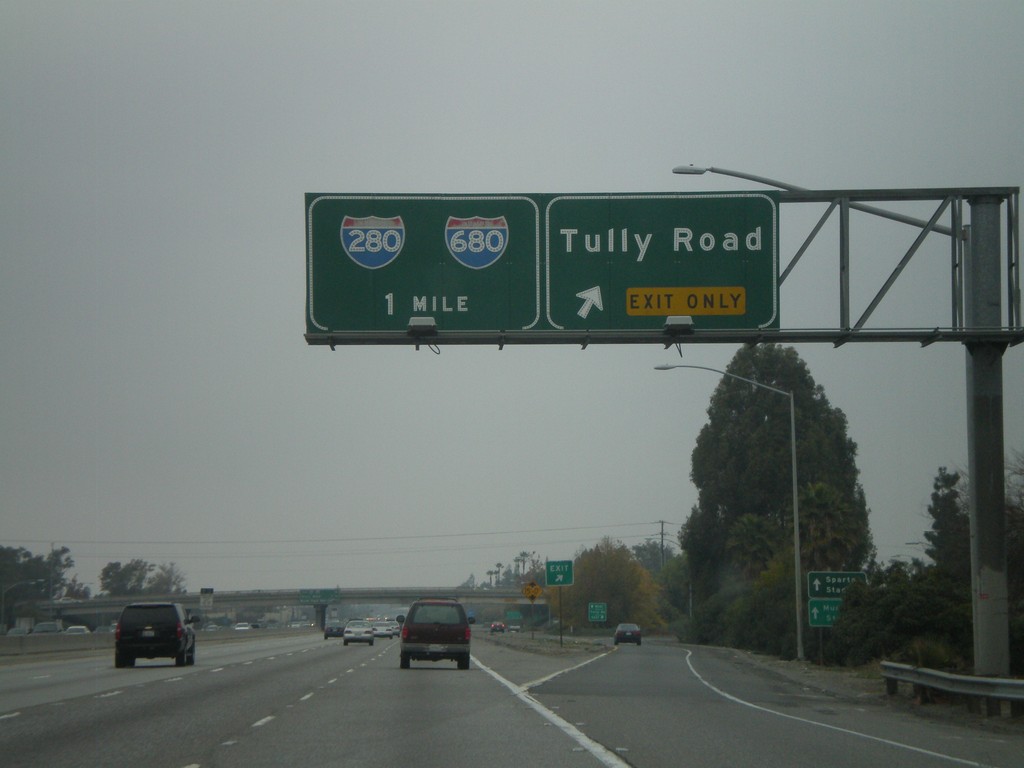
US-101 North - Exit 383 and Exit 384
US-101 north at Exit 383 - Tully Road. Approaching Exit 384 - I-280/I-680.
Taken 01-01-2009
San Jose
Santa Clara County
California
United States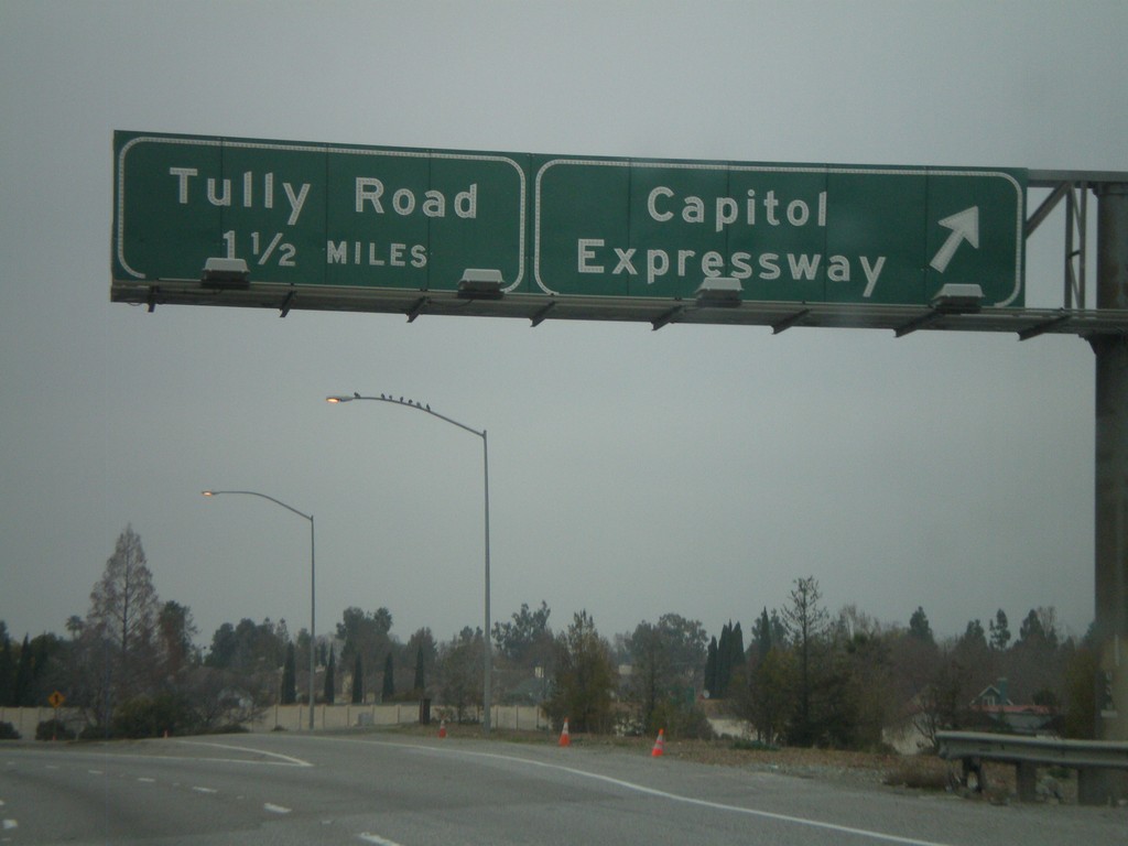
US-101 North - Exit 382 and Exit 383
US-101 north at Exit 382 - Capitol Expressway. Approaching Exit 383 - Tully Road.
Taken 01-01-2009
San Jose
Santa Clara County
California
United States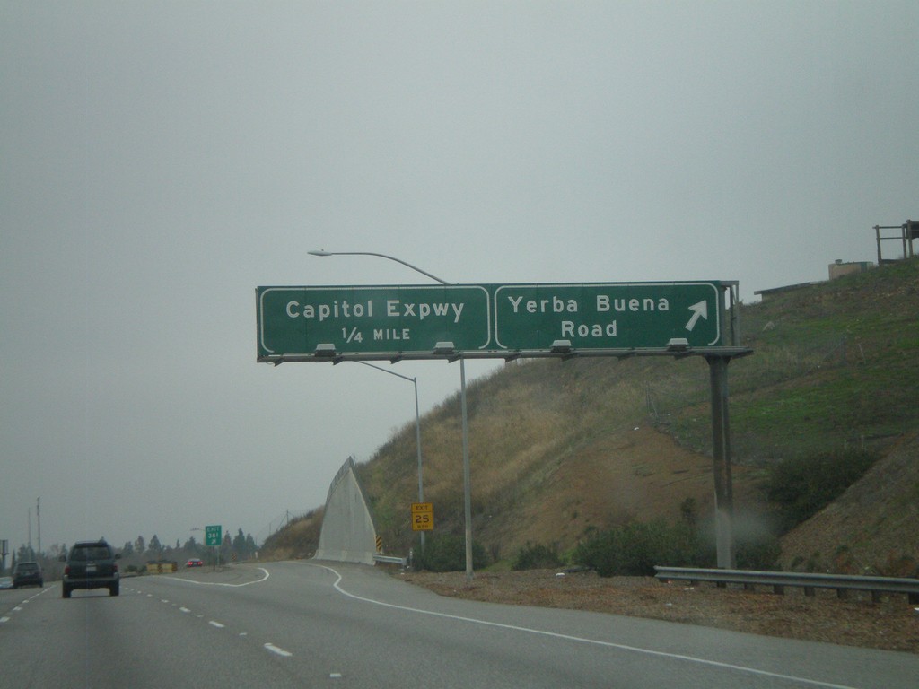
US-101 North - Exit 381 and Exit 382
US-101 north at Exit 381 - Yerba Buena Road. Approaching Exit 382 - Capitol Expressway.
Taken 01-01-2009
San Jose
Santa Clara County
California
United States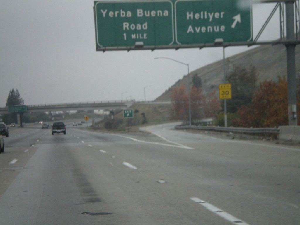
US-101 North - Exit 380 and Exit 381
US-101 north at Exit 380 - Hellyer Ave. Approaching Exit 381 - Yerba Buena Road.
Taken 01-01-2009
San Jose
Santa Clara County
California
United States