Signs Tagged With Big Green Sign
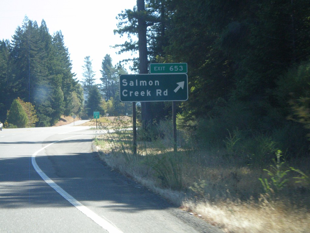
US-101 South - Exit 653
US-101 south at Exit 653 - Holmes/Redcrest
Taken 09-25-2009
 Miranda
Humboldt County
California
United States
Miranda
Humboldt County
California
United States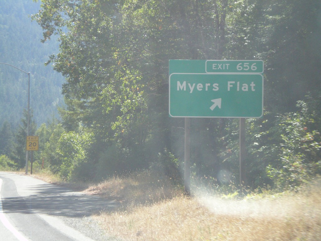
US-101 South - Exit 656
US-101 south at Exit 656 - Myers Flat
Taken 09-25-2009
Myers Flat
Humboldt County
California
United States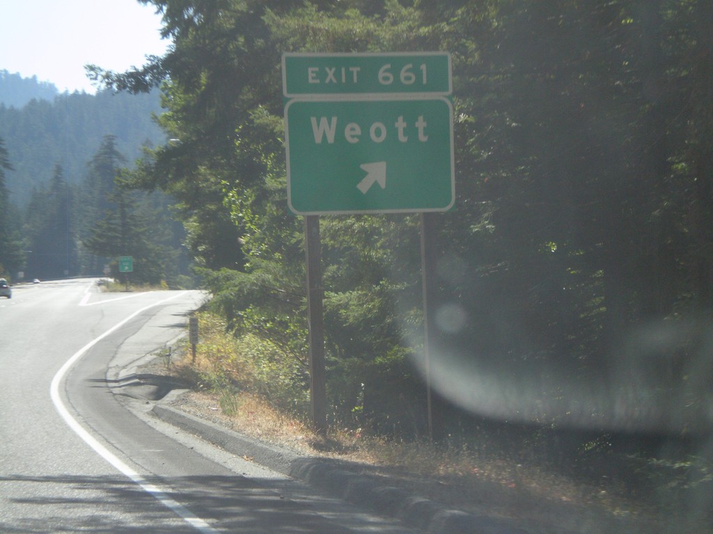
US-101 South - Exit 661
US-101 south at Exit 661- Weott
Taken 09-25-2009
Whitethorn
Humboldt County
California
United States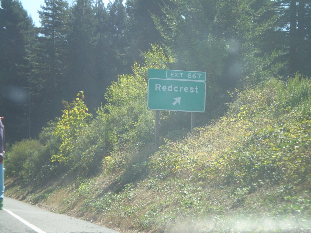
US-101 South - Exit 667
US-101 south at Exit 667 - Redcrest
Taken 09-25-2009
Redcrest
Humboldt County
California
United States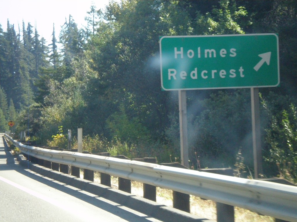
US-101 South - Exit 667
US-101 south at Exit 667 - Holmes/Redcrest
Taken 09-25-2009
Pepperwood
Humboldt County
California
United States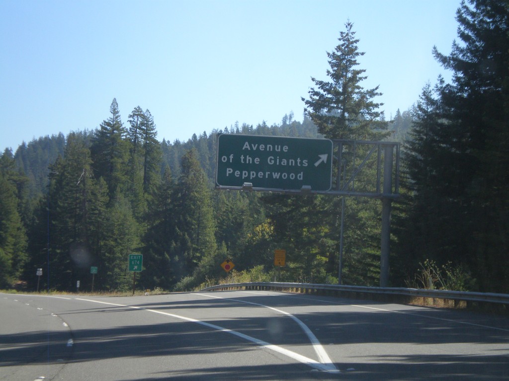
US-101 South - Exit 674
US-101 south at Exit 674 - Avenue of the Giants / Pepperwood
Taken 09-25-2009
 Elinor
Humboldt County
California
United States
Elinor
Humboldt County
California
United States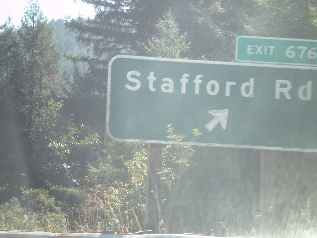
US-101 South - Exit 676
US-101 south at Exit 676 - Stafford Road
Taken 09-25-2009
Stafford
Humboldt County
California
United States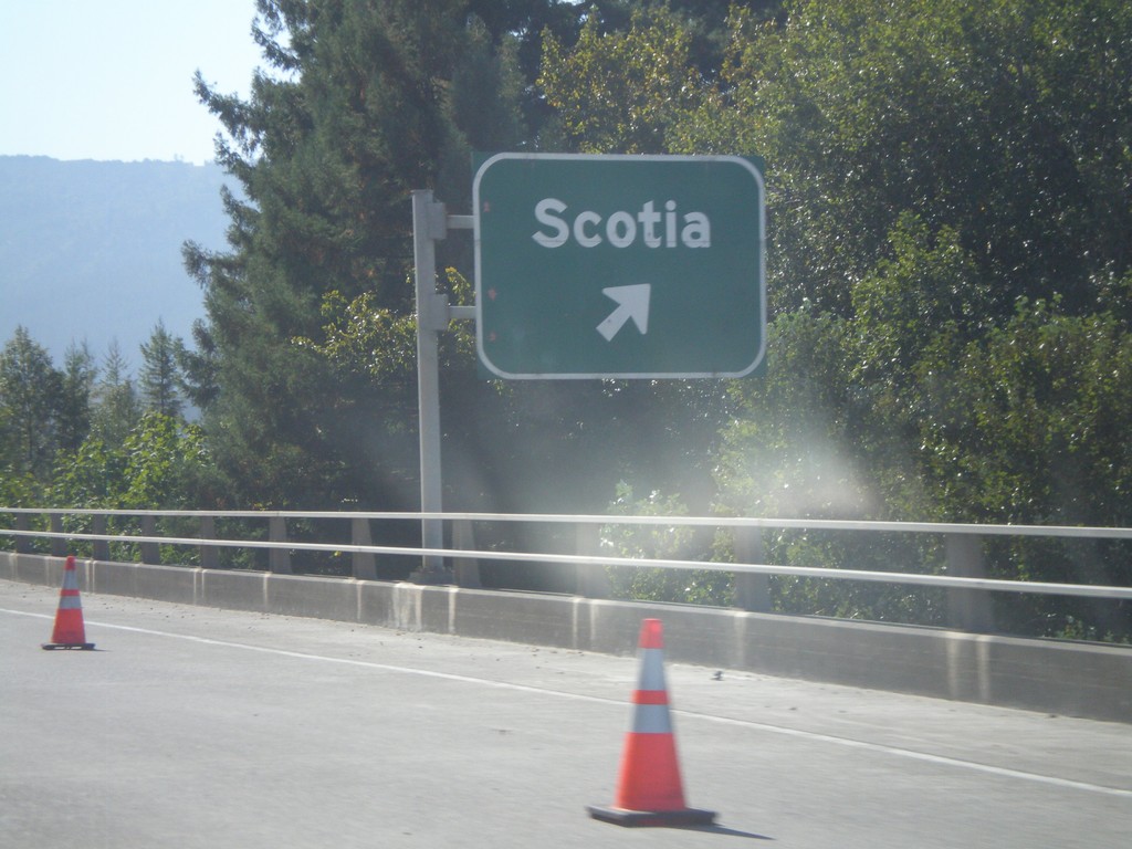
US-101 South Exit 679
US-101 south at Exit 679 - Scotia
Taken 09-25-2009
Rio Dell
Humboldt County
California
United States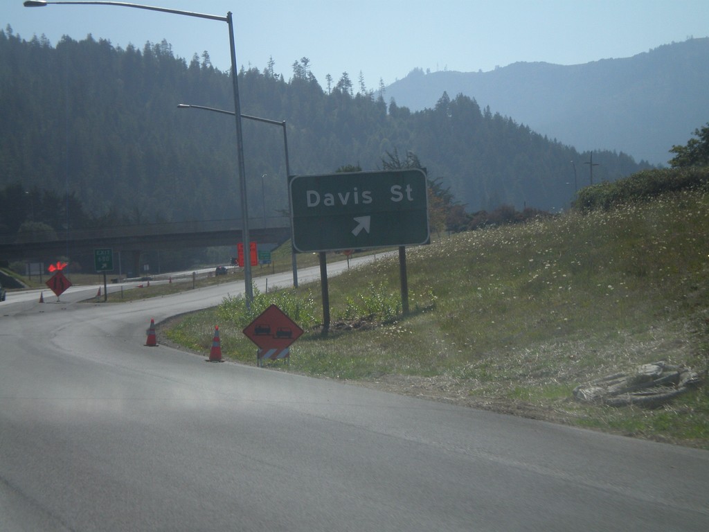
US-101 South - Exit 680
US-101 south at Exit 680 - Davis St.
Taken 09-25-2009
Rio Dell
Humboldt County
California
United States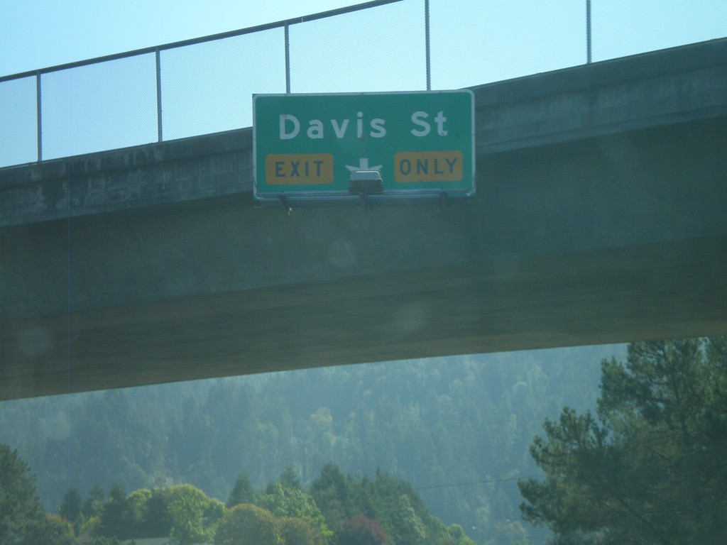
US-101 South - Approaching Exit 680
US-101 south approaching Exit 680 - Davis St.
Taken 09-25-2009
Rio Dell
Humboldt County
California
United States
US-101 South - Exit 681
US-101 south at Exit 681 - Rio Dell.
Taken 09-25-2009
Rio Dell
Humboldt County
California
United States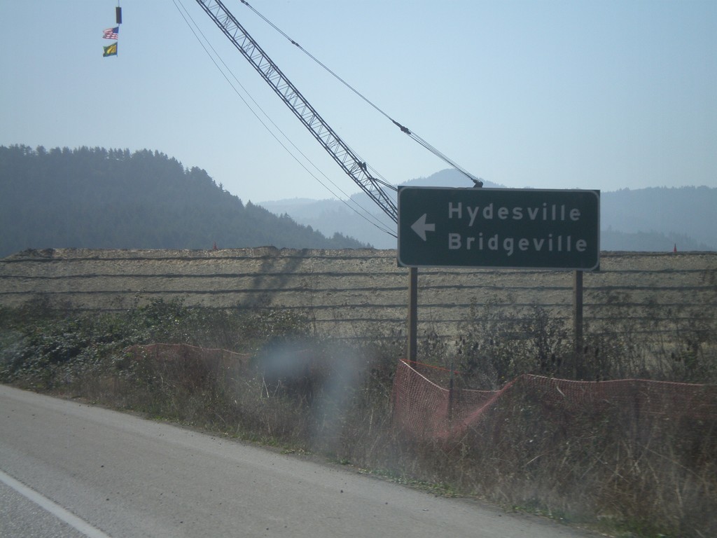
US-101 South at CA-36
US-101 south atCA-36 east to Hydesville and Bridgeville.
Taken 09-25-2009
 Fortuna
Humboldt County
California
United States
Fortuna
Humboldt County
California
United States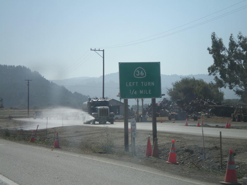
US-101 South Approaching CA-36
US-101 south approaching CA-36 east.
Taken 09-25-2009
Fortuna
Humboldt County
California
United States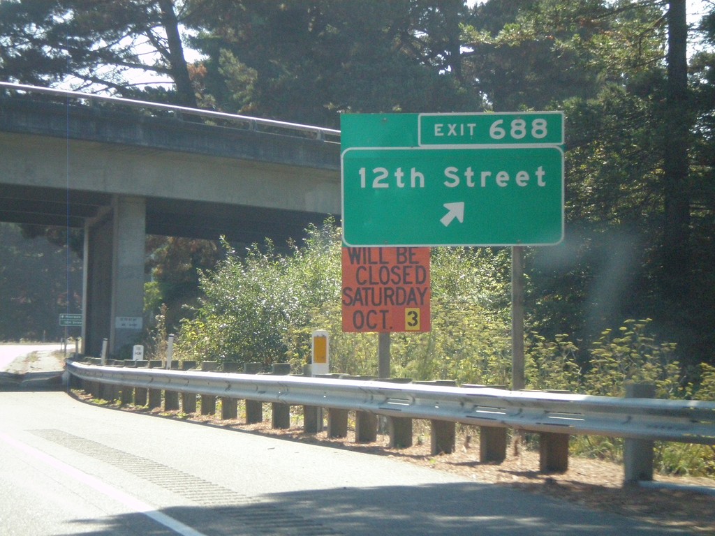
US-101 South - Exit 688
US-101 south at Exit 688 - 12th St.
Taken 09-25-2009
Fortuna
Humboldt County
California
United States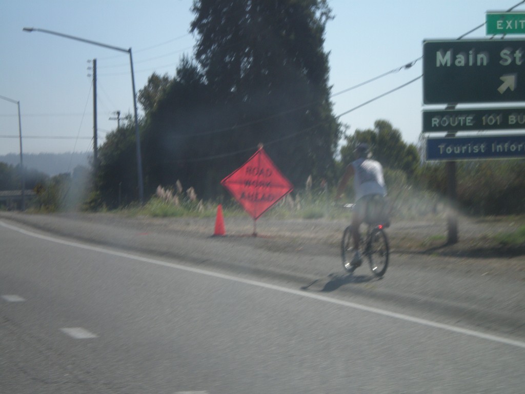
US-101 South - Exit 689
US-101 south at Exit 689 - Main St.
Taken 09-25-2009
Fortuna
Humboldt County
California
United States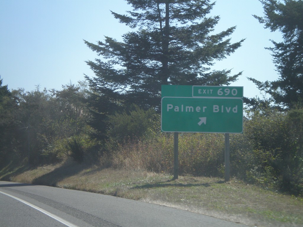
US-101 South - Exit 690
US-101 south at Exit 690 - Palmer Blvd.
Taken 09-25-2009
Fortuna
Humboldt County
California
United States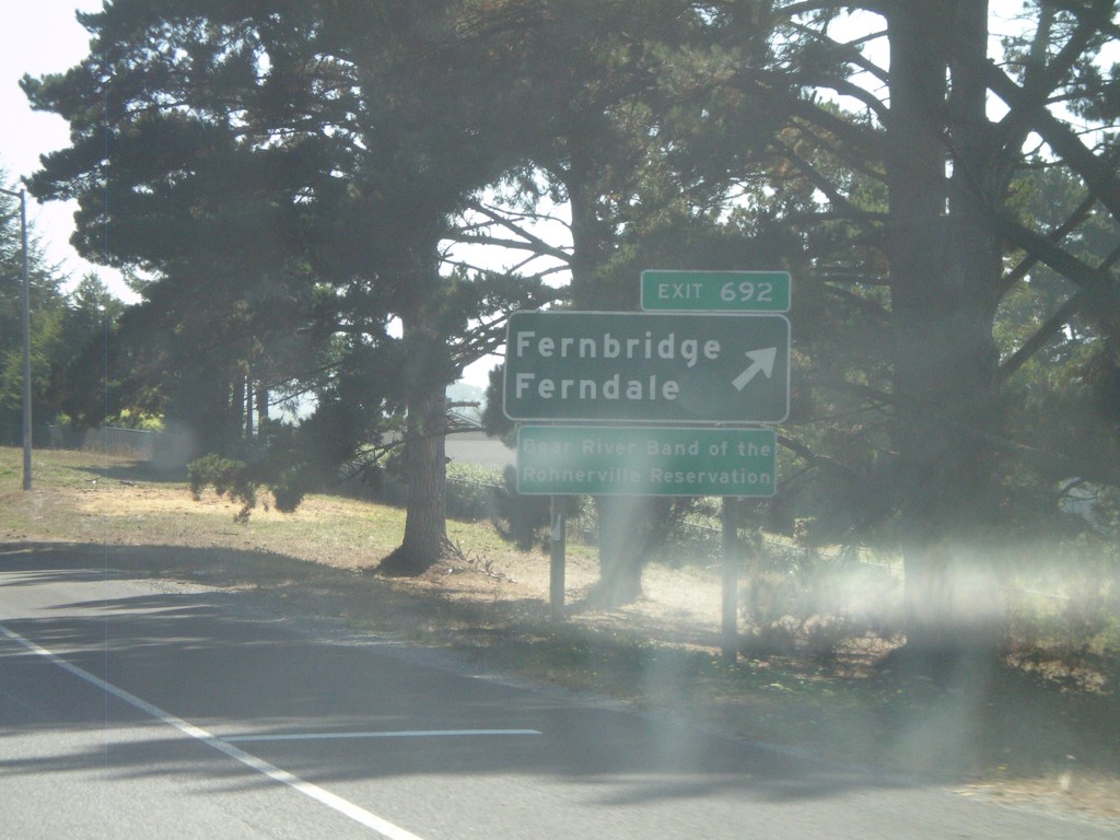
US-101 South - Exit 692
US-101 south Exit 692 - Fernbridge/Ferndale
Taken 09-25-2009
Fortuna
Humboldt County
California
United States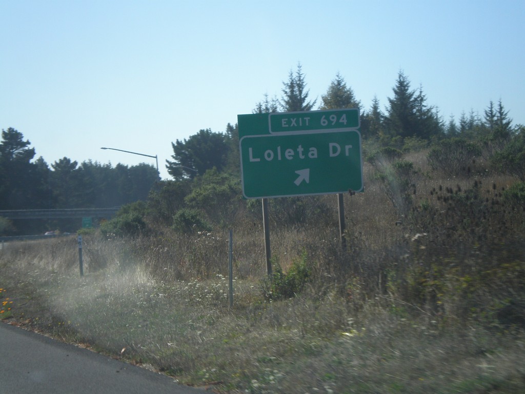
US-101 South - Exit 694
US-101 south Exit 694 - Loleta Drive
Taken 09-25-2009
Loleta
Humboldt County
California
United States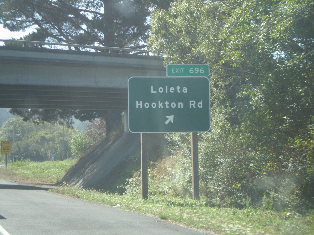
US-101 South - Exit 696
US-101 south Exit 696 - Loleta/Hookton Road
Taken 09-25-2009
Beatrice
Humboldt County
California
United States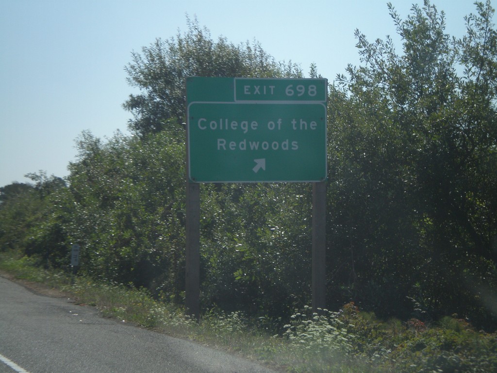
US-101 South - Exit 698
US-101 south Exit 698 - College of the Redwoods
Taken 09-25-2009
Eureka
Humboldt County
California
United States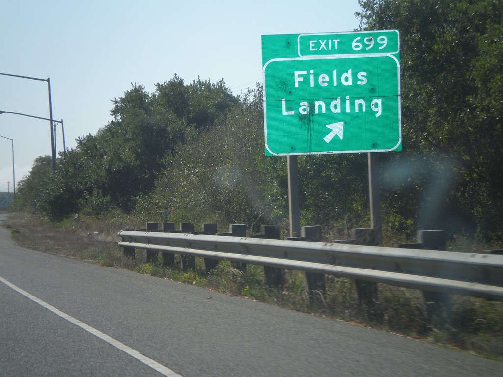
US-101 South - Exit 699
US-101 south Exit 699 - Fields Landing
Taken 09-25-2009
Eureka
Humboldt County
California
United States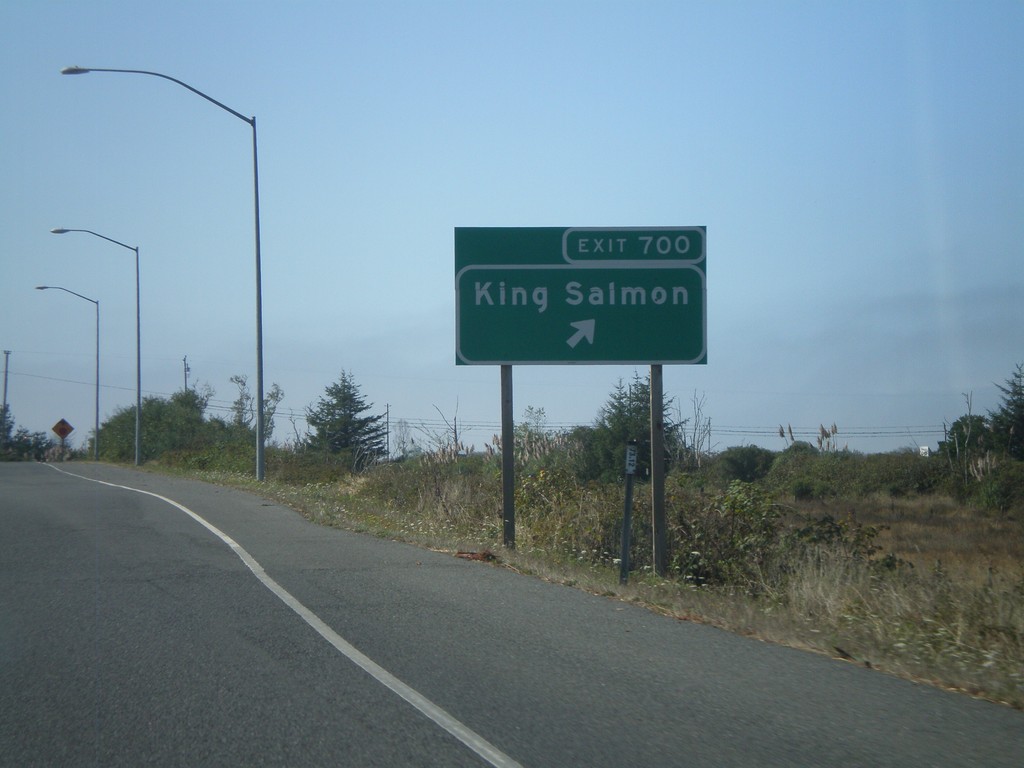
US-101 South - Exit 700
US-101 south Exit 700 - King Salmon
Taken 09-25-2009
Eureka
Humboldt County
California
United States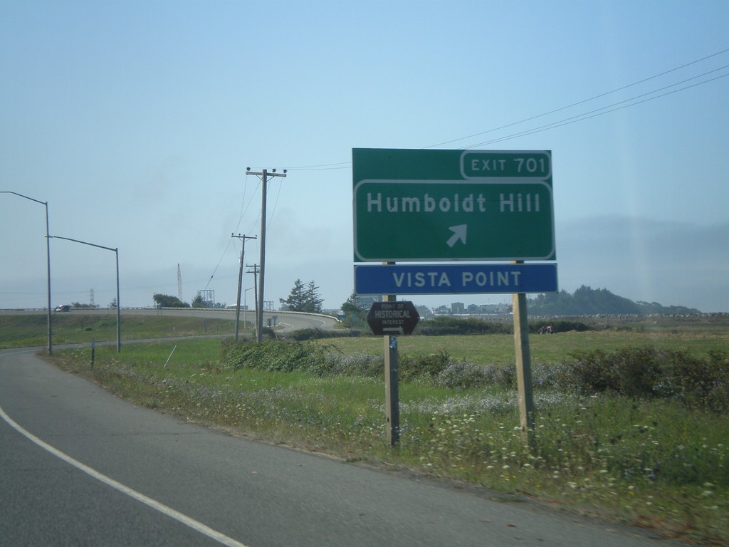
US-101 South - Exit 701
US-101 south Exit 701 - Humboldt Hill
Taken 09-25-2009
Eureka
Humboldt County
California
United States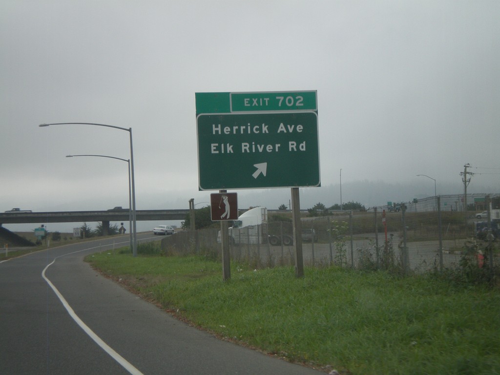
US-101 South - Exit 702
US-101 south Exit 702 - Herrick Ave./Elk River Road.
Taken 09-25-2009
Eureka
Humboldt County
California
United States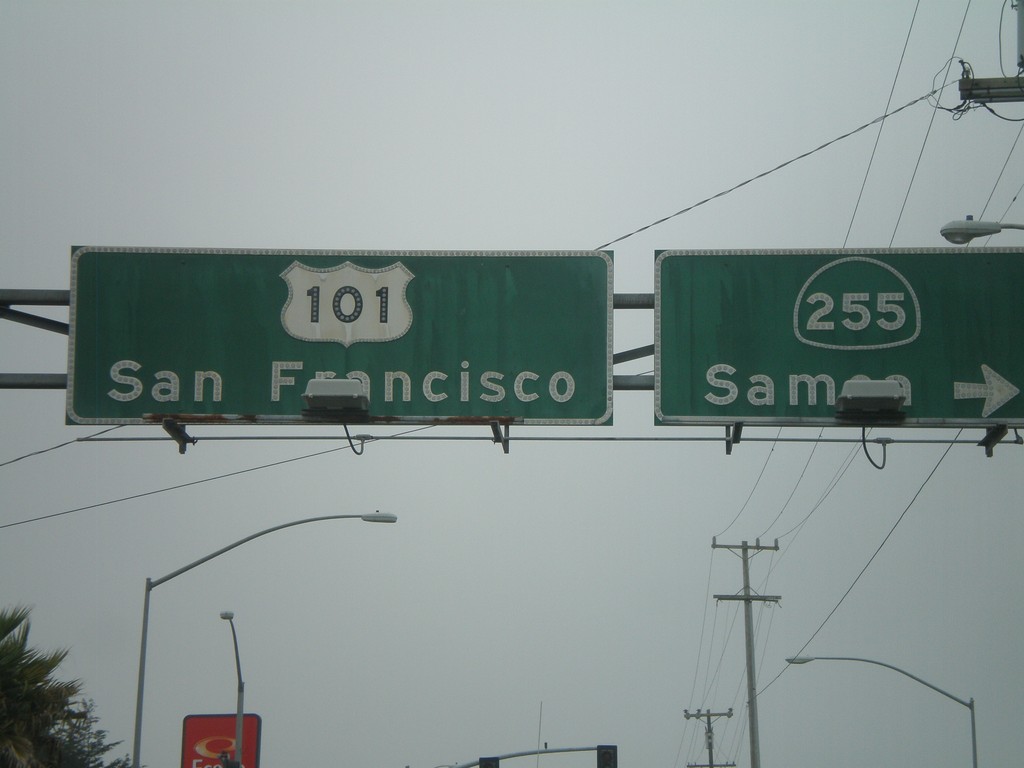
US-101 South At CA-255
US-101 south (4th St.) at CA-255/Samoa in downtown Eureka. Continue on US-101 for San Francisco.
Taken 09-25-2009
 Eureka
Humboldt County
California
United States
Eureka
Humboldt County
California
United States